 Block
From the record
59 National Register listings published here.
Sources: the county history on the Internet Archive · the National Register database, National Park Service
33 topographic sheets and 15 fire insurance atlases across 2 places.
59 National Register listings published here.
Sources: the county history on the Internet Archive · the National Register database, National Park Service
Taken for the Office of War Information and the Farm Security Administration, who photographed the country between 1935 and 1944. Works of United States government photographers, with no known restriction on use. Each opens its catalogue record.

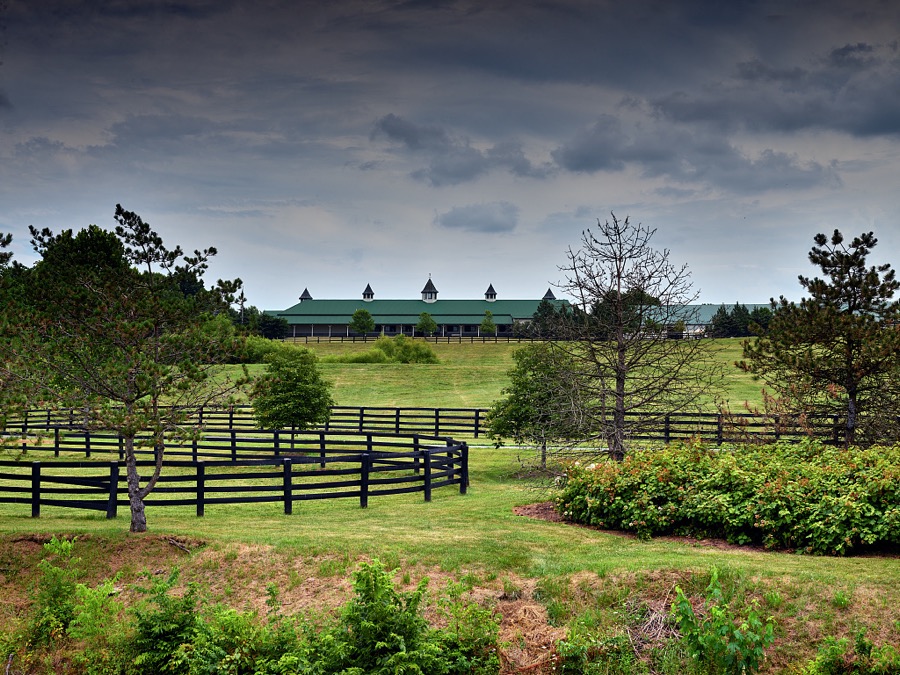

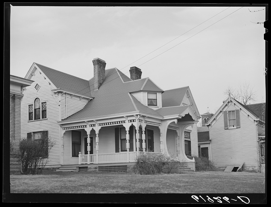
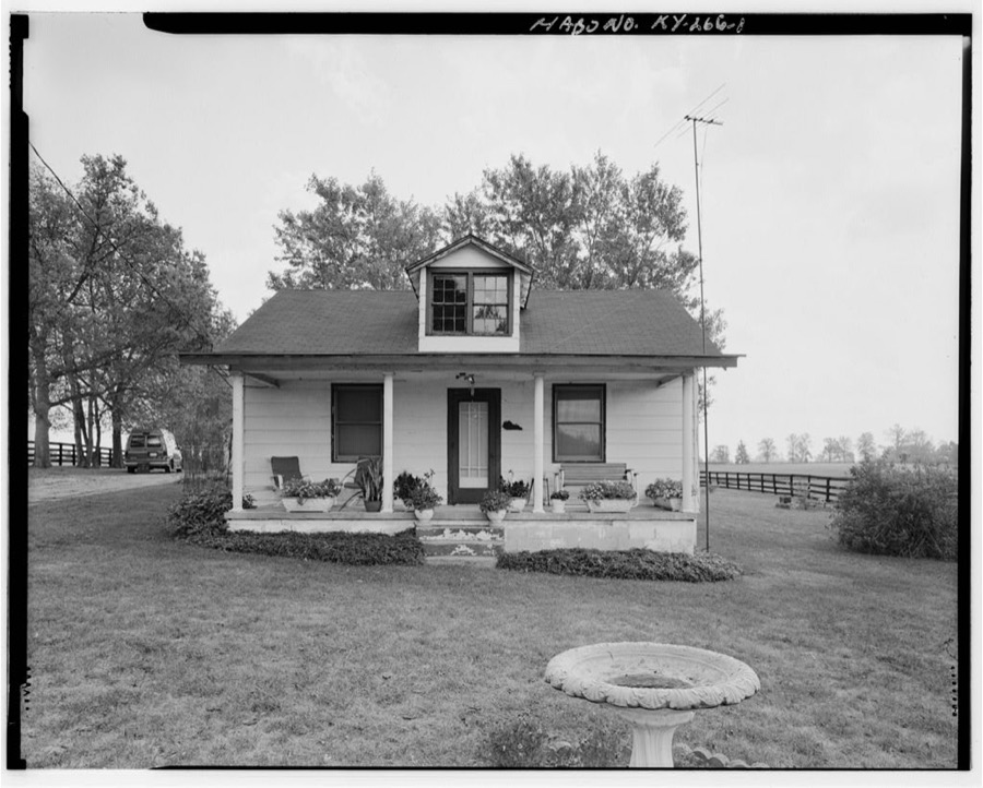
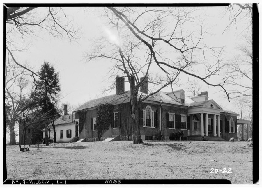
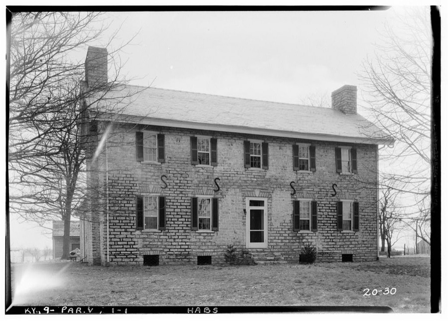
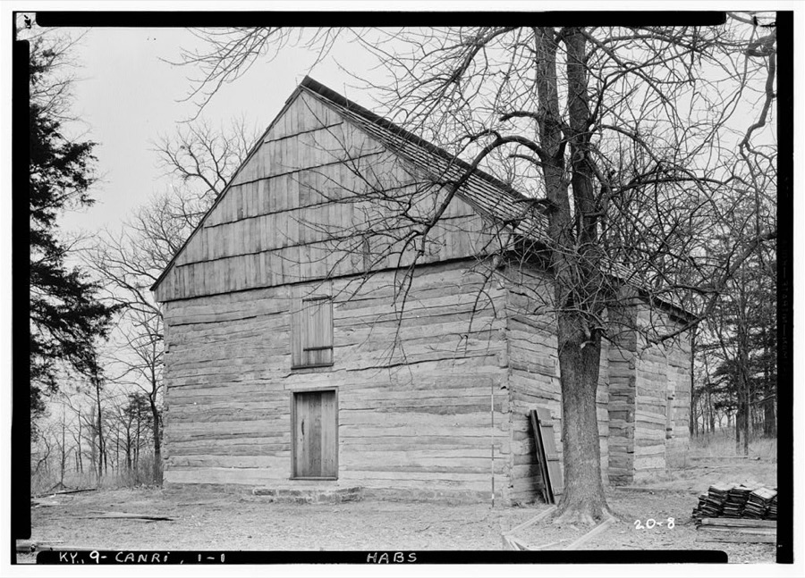
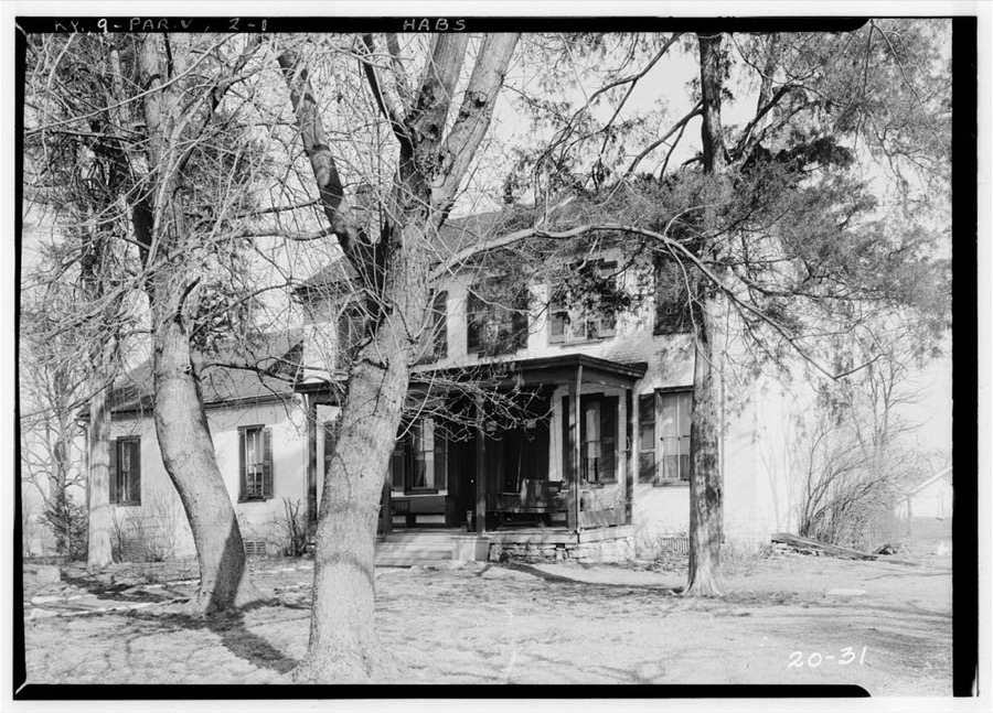
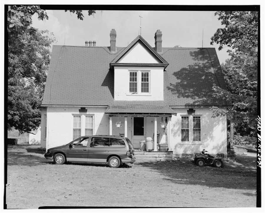
Every property in this county listed on the National Register of Historic Places, with the year it was listed and the federal nomination document.
| Photograph | Property | Type | Listed | Reference |
|---|---|---|---|---|
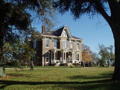 | Airy Castle | building | 1976 | 76000845 |
| Jacob Aker Farm | district | 1993 | 93000050 | |
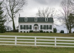 | Allen-Alexander House | building | 1975 | 75000735 |
| Bayless Quarters | building | 1983 | 83002556 | |
| Bourbon County Confederate Monument | object | 1997 | 97000719 | |
 | Bourbon County Courthouse | building | 1974 | 74000851 |
 | Walker Buckner House | building | 1997 | 97000232 |
 | Cane Ridge Rural Historic District | district | 2003 | 02001463 |
| Thomas Champ House | district | 2003 | 03000256 | |
| Dr. Henry Clay House | building | 1983 | 83002558 | |
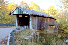 | Colville Covered Bridge | structure | 1974 | 74000850 |
| Cooper's Run Baptist Church | building | 1983 | 83002559 | |
| Cooper's Run Rural Historic District | district | 1998 | 98001493 | |
| William David House | building | 1979 | 79000965 | |
| Duncan Avenue Historic District | district | 1988 | 88000902 | |
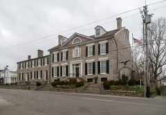 | Duncan Tavern | building | 1973 | 73000783 |
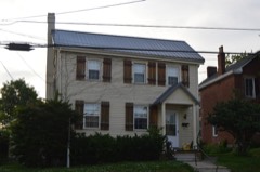 | Eades Tavern | building | 1973 | 73000784 |
| James Eales House | building | 1983 | 83002560 | |
| Escondida | building | 1978 | 78001302 | |
| James Garrard House | building | 1983 | 83002561 | |
| Glen Oak | building | 1996 | 95001513 | |
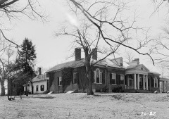 | Grange, The | building | 1973 | 73000786 |
| Ephram Harrod House | building | 1983 | 83002562 | |
| Hillside Farm | district | 2000 | 00000277 | |
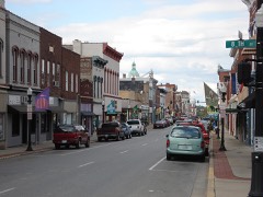 | Hopewell Museum | building | 1989 | 89002123 |
| Hopkins House | building | 1983 | 83002563 | |
| Johnston's Inn | building | 2008 | 08000209 | |
| Joseph Kennedy House | building | 1983 | 83002564 | |
| Thomas Kennedy House | building | 1980 | 80001484 | |
 | Kiser Station | building | 1977 | 77000601 |
| James Kiser House | building | 2014 | 14000457 | |
| Little Rock-Jackstown Road Rural Historic District | district | 2004 | 04000246 | |
| Loudoun Hall | building | 1978 | 78001303 | |
| Rudolph Mauck House | building | 1983 | 83002565 | |
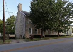 | McKee-Vimont Row Houses | building | 1975 | 75000734 |
| McLeod Spring House | building | 1983 | 83002566 | |
| Miller's House at Ruddels Mills | building | 1983 | 83002567 | |
| Millersburg Historic District | district | 1986 | 86000697 | |
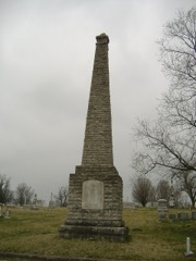 | Paris Cemetery Gatehouse | building | 1978 | 78001301 |
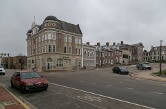 | Paris Courthouse Square Historic District | district | 1979 | 79000963 |
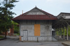 | Paris Railroad Depot | building | 1973 | 73000785 |
| Pocket Rural Historic District | district | 2003 | 03000257 | |
| Thomas Rodgers House | building | 1983 | 83002568 | |
| Elias Rymill House | building | 1983 | 83002569 | |
| Sacred Home | building | 1979 | 79000964 | |
| Sandusky House | building | 1983 | 83002570 | |
| Laban Shipp House | building | 1983 | 83002571 | |
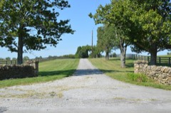 | Snow Hill | building | 1997 | 97001341 |
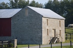 | Jacob Spears Distillery | building | 1983 | 83002573 |
 | Jacob Spears House | building | 1983 | 83002572 |
| Joseph L. Stephens House | building | 1983 | 83002574 | |
| Stoner Creek Rural Historic District | district | 2001 | 01000449 | |
 | Sugar Grove | building | 1996 | 96001346 |
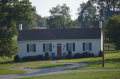 | John Tucker House | building | 1995 | 95000302 |
| West Millersburg Rural Historic District | district | 2007 | 06001197 | |
| Widow McDowell House | building | 1983 | 83002576 | |
| Hubbard Williams House | building | 1983 | 83002577 | |
| Woodlawn | building | 1996 | 96001345 | |
| Capt. James Wright House and Cabin | building | 1976 | 76000846 |
Bourbon County has 1 covered bridge on the National Register. Each is a listed structure with a federal nomination on file.
| Colville Covered Bridge | Listed 1974 |
Sampled issues, machine-read from the Library of Congress scan and published page by page, so every headline and column is searchable text.
Millersburg, Ky., 1881 to 1883. Machine-read from the Library of Congress scan.
Paris, Bourbon County, Kentucky., 1883 to 1895. Machine-read from the Library of Congress scan.
Paris, Ky., 1895 to 19??. Machine-read from the Library of Congress scan.
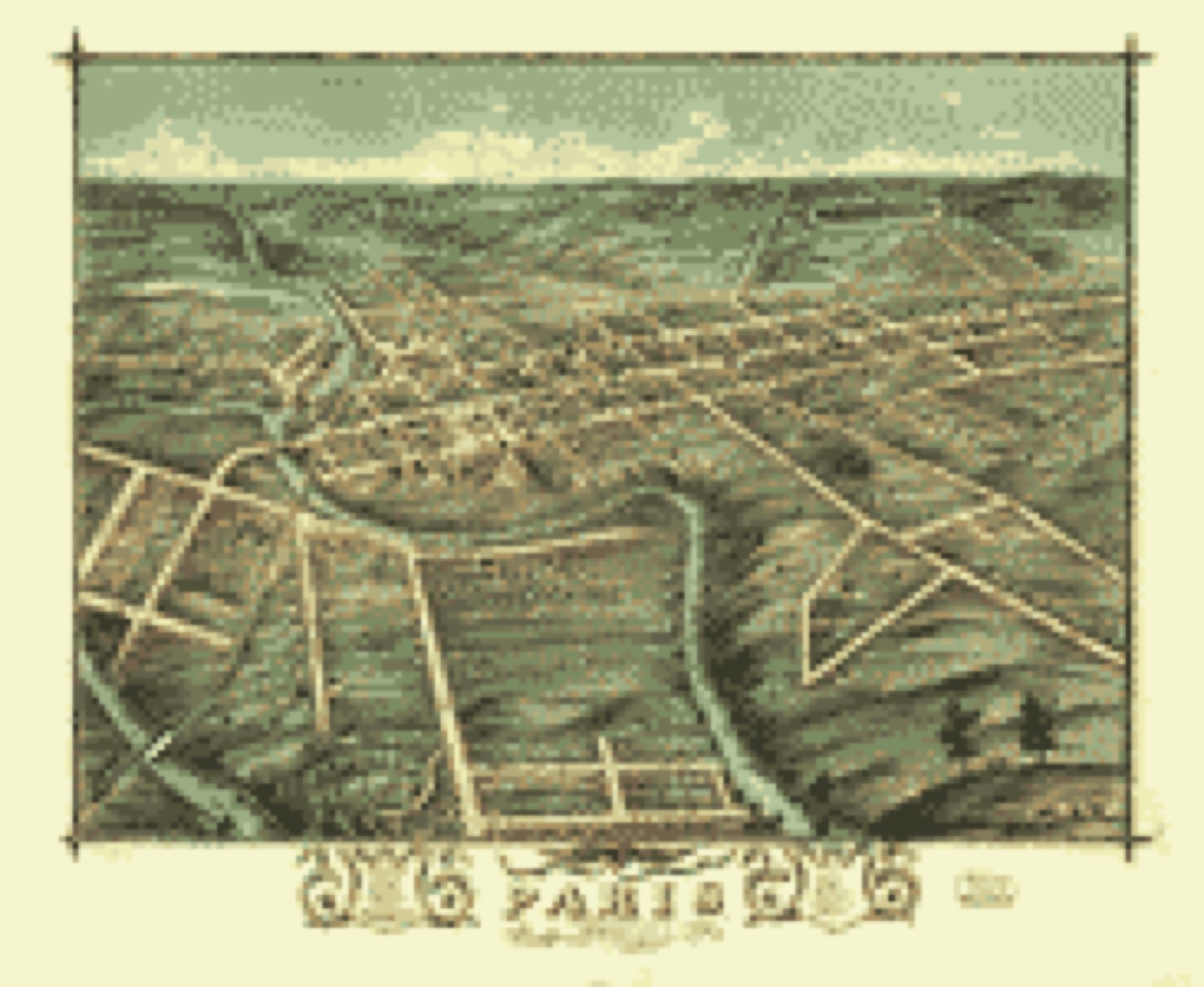
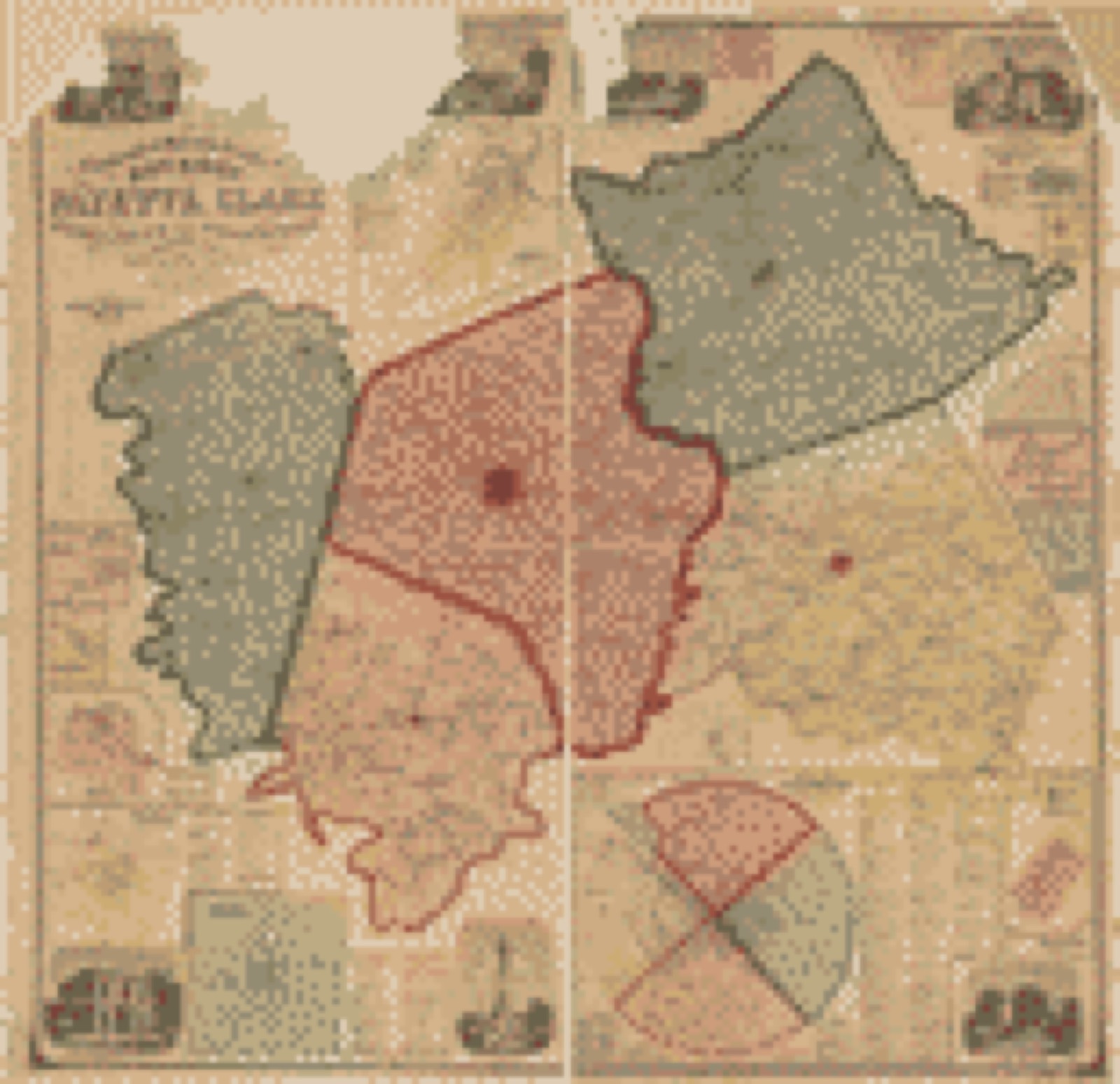
Drawn when these were printed as single large sheets: the town seen from the air, and the county divided into its farms with every owner named. Each opens the original at the Library of Congress.

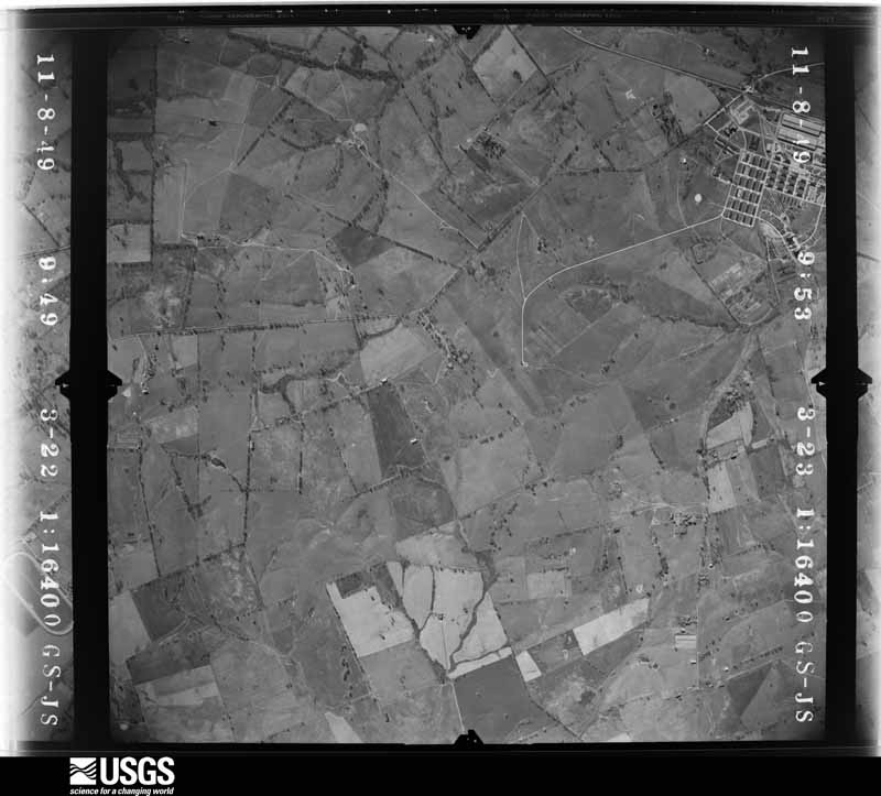
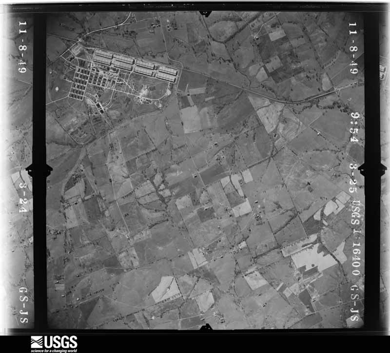
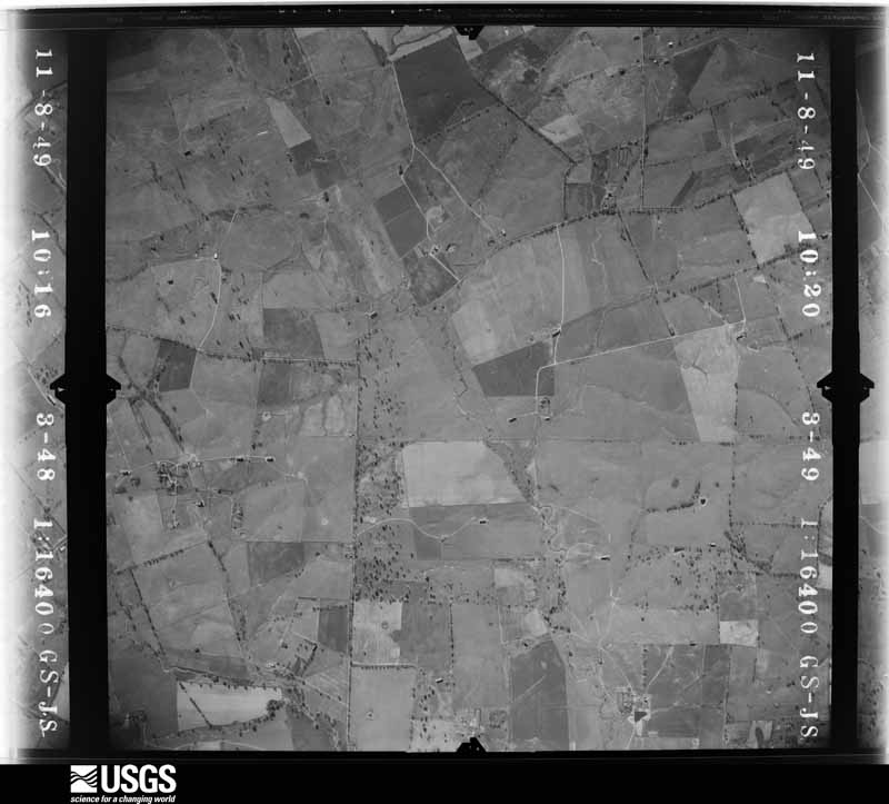
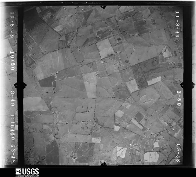
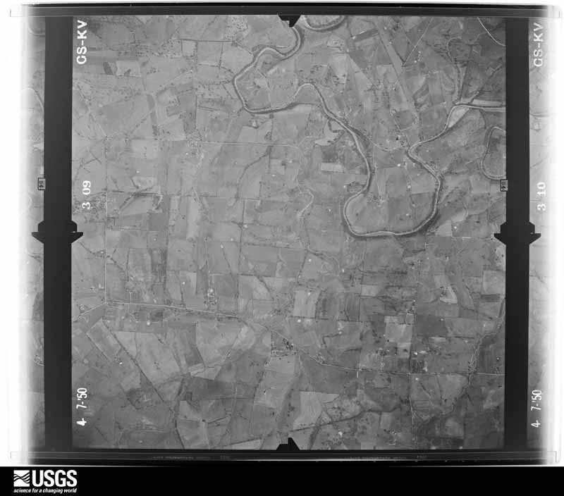
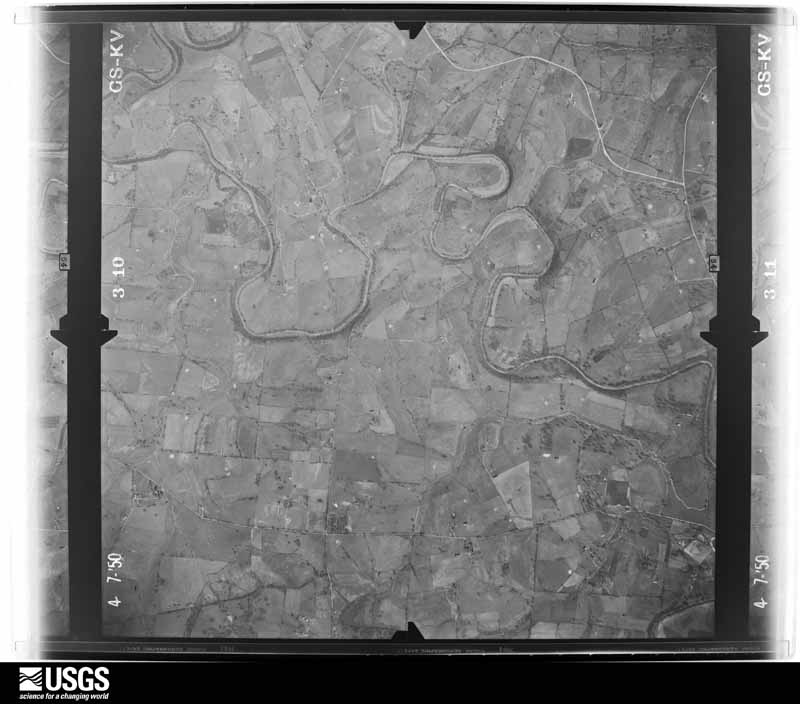
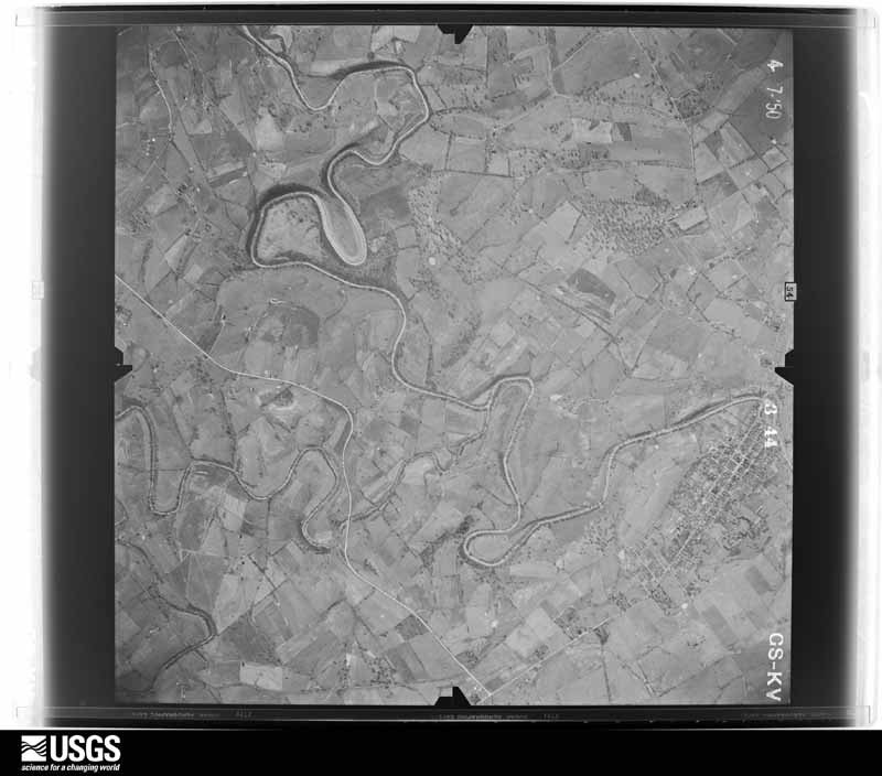
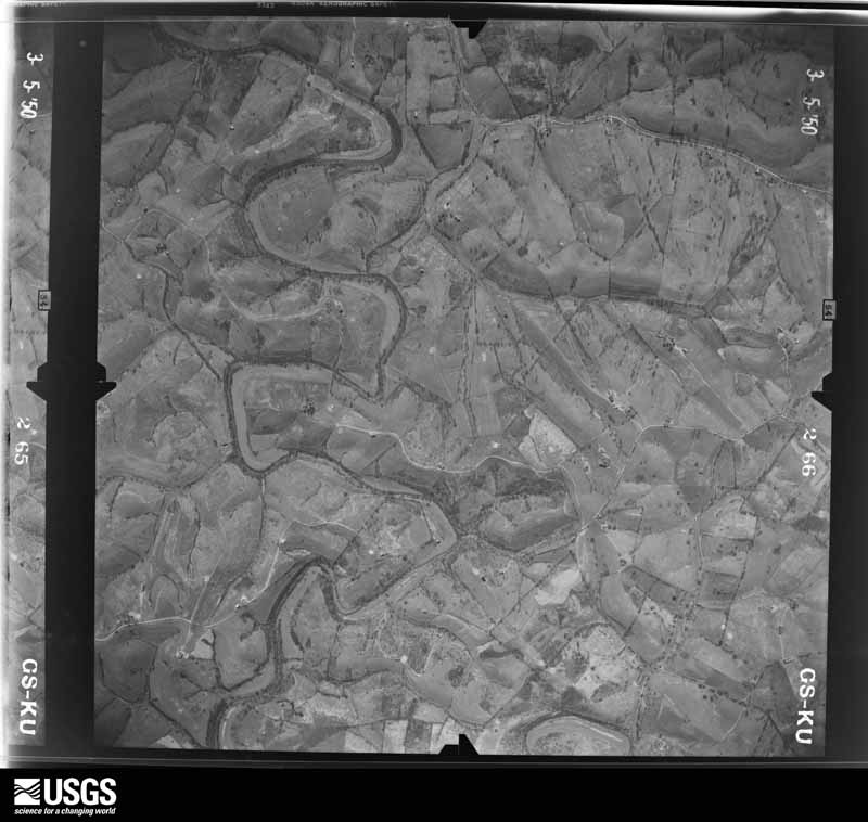
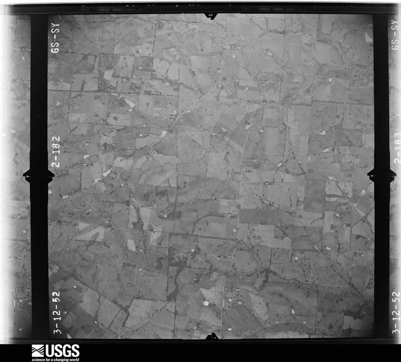
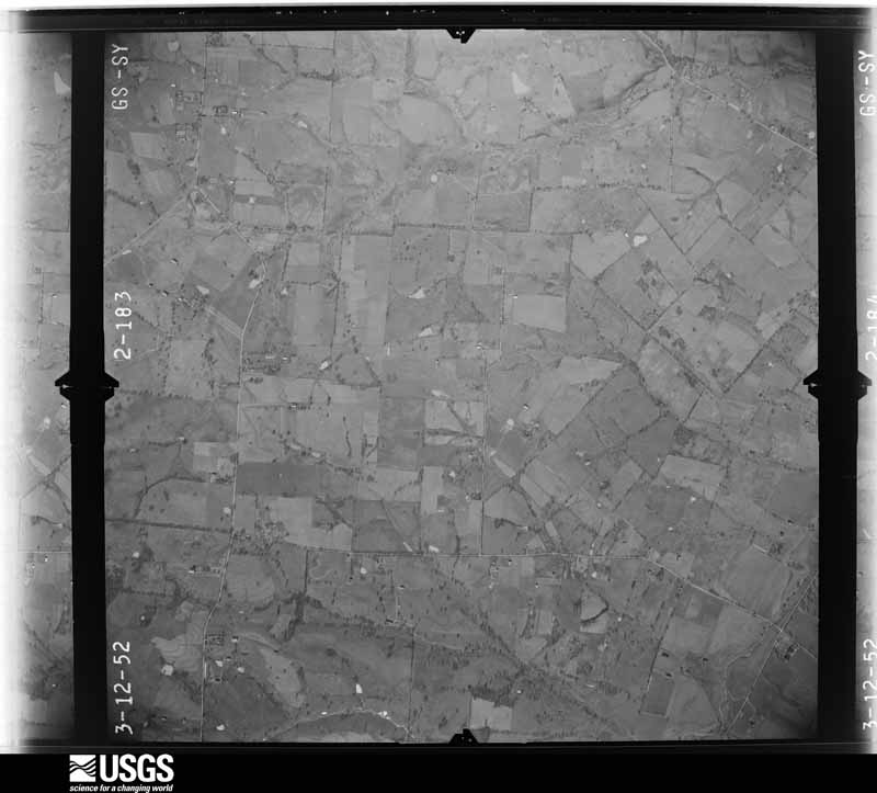
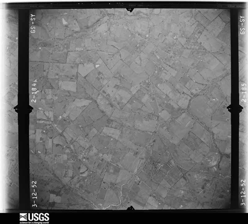
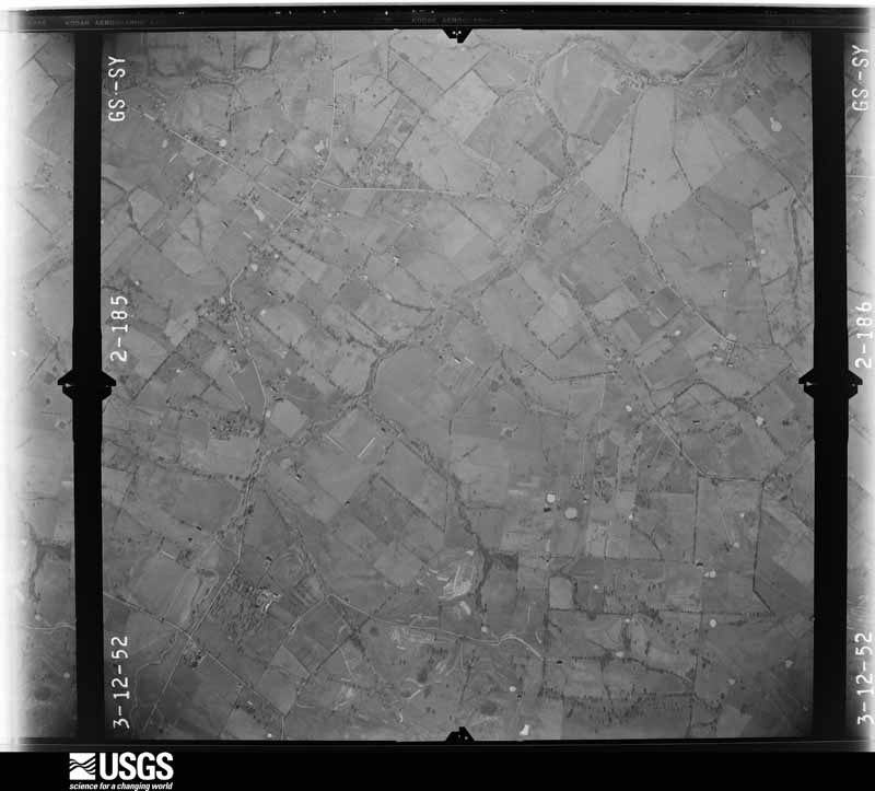
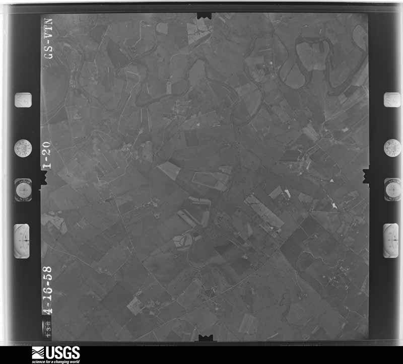
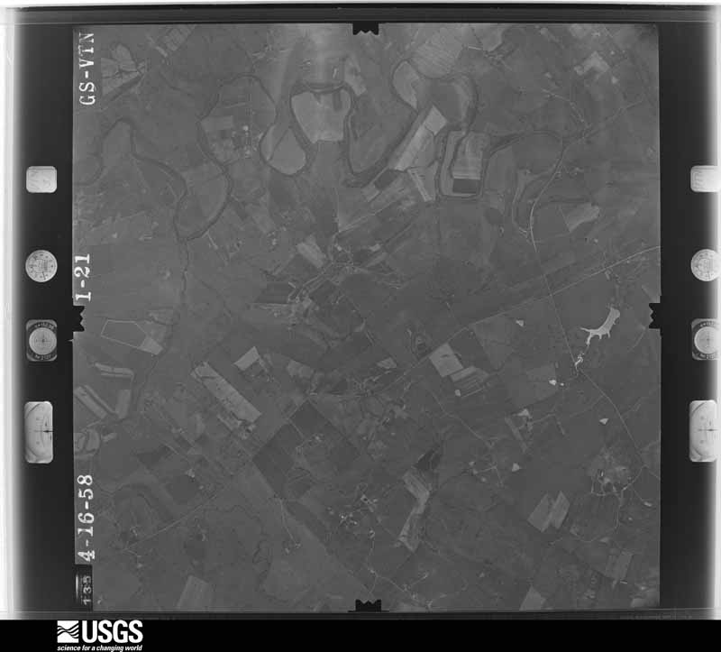
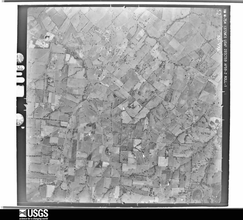
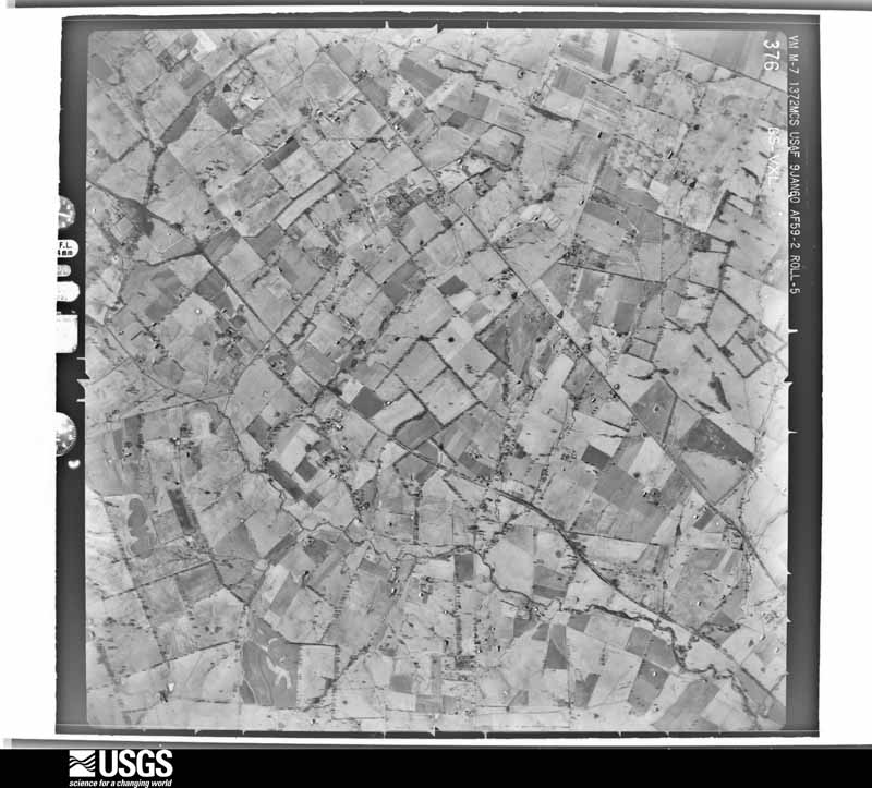
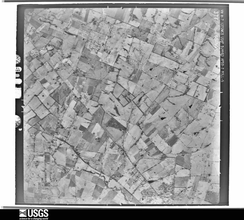
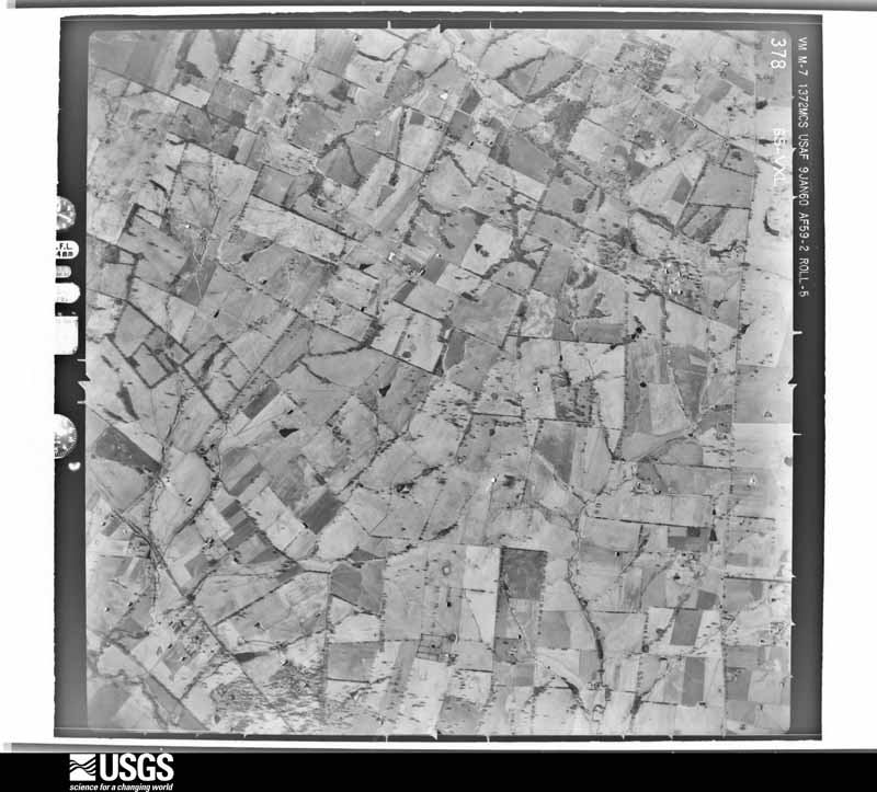
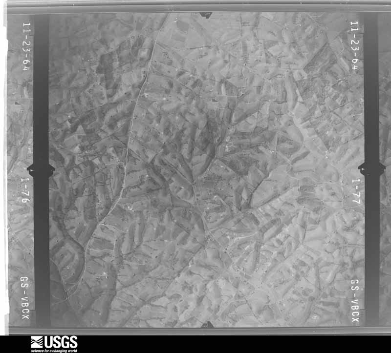
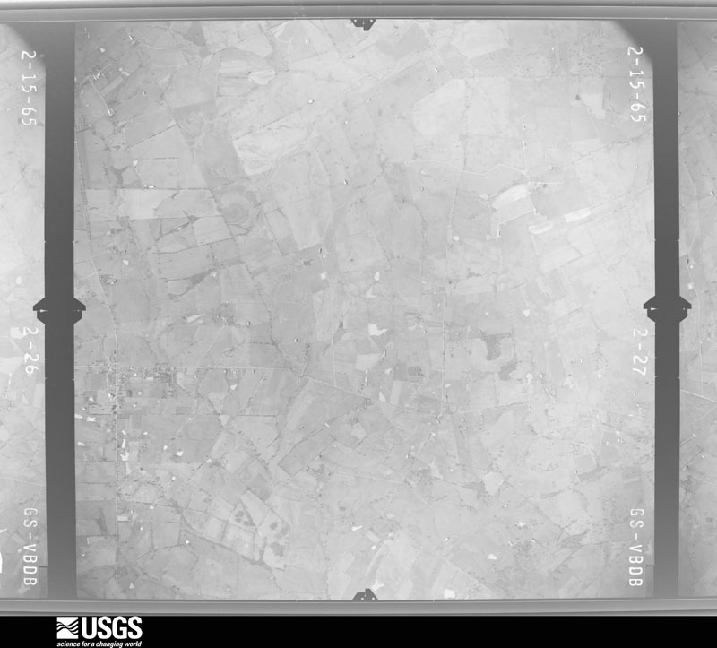
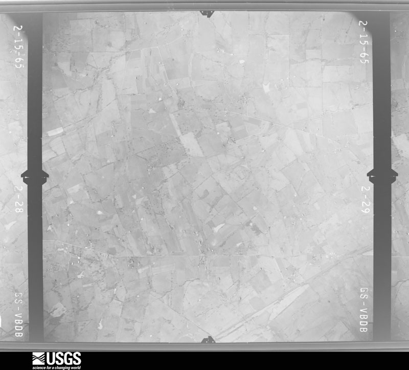
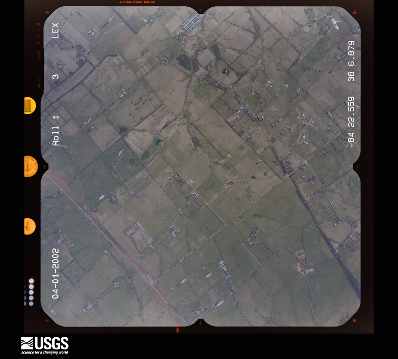
Flown by the U.S. Geological Survey between 1937 and 1989, the Aerial Photo Single Frames collection is the definitive mid-century view of the land: fields, roads and rivers as the camera saw them. The Survey holds 816 frames inside the rectangle that bounds this county; the 33 frames below were taken over the county itself, chosen across the decades of flights (at most four a year from that rectangle), so one flight cannot crowd out the rest. The full set is free to browse and download at EarthExplorer under the dataset Aerial Photo Single Frames.


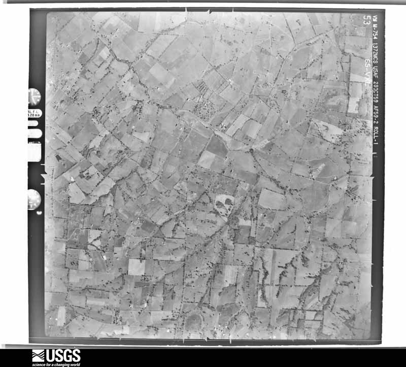
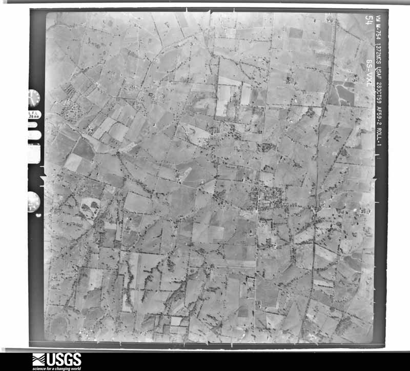
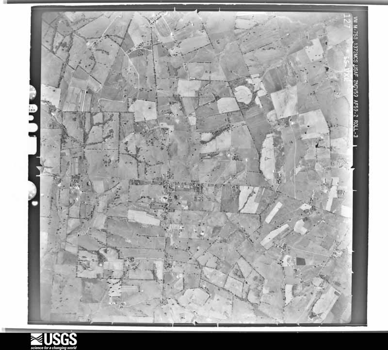
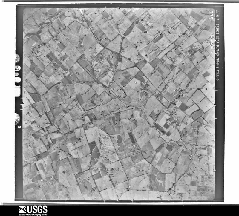

The thermometers that kept this county's weather, and the gages that measured the flow of its streams, as the federal records hold them. The extremes below are measured values from those records, not estimates.
Who lived here in 1950, one enumeration district at a time, as the Census Bureau described each district. Each row opens its official National Archives result, with Population Schedules and ED Maps available there.
Every wildfire the federal occurrence database records inside this county: 1 of them, burning about 25 acres. None started naturally and none was recorded as arson. Each settlement page carries the fires within five miles of it.
| Reported cause | Fires |
|---|---|
| Debris and open burning | 1 |
The five largest, by the area the report gives. None of them was recorded as arson.
| Date | Cause | Size | Reported by | Name on the report |
|---|---|---|---|---|
| 7 March 2000 | Debris and open burning | 25 acres | Kentucky Division of Forestry | not named |
Every settlement page carries the fires within five miles of it - see the settlement index below.
The NOAA Storm Events Database holds 213 reports for this county, causing 3 deaths, 4 injuries and about $1,551,500 in recorded property damage. Each settlement page carries the reports that name it.
| Kind of event | Reports |
|---|---|
| Thunderstorm Wind | 122 |
| Flood | 42 |
| Flash Flood | 25 |
| Hail | 18 |
| Tornado | 4 |
| Heavy Rain | 2 |
The most serious of them, by death, then injury, then recorded damage. The accounts are quoted exactly as the forecast office filed them.
| When | Event | Place named | Harm | What the report says |
|---|---|---|---|---|
| May 1996 | Thunderstorm Wind | Millersburg | 1 killed, 2 hurt, $10,000 | no account filed |
| September 2018 | Flood | Brentsville | 1 killed, $15,000 | A female interning at Silver Springs Stud Farm was returning from lunch on Brentsville Road when she drove into water from a flooded stream over the roadway. The stream swept the vehicle into a deep pool off the road. Within moments, the top of the car was several feet below the surface of the water. The victim's body was recovered several hours later from the backseat of the vehicle. |
| June 2012 | Thunderstorm Wind | North Middletown | 1 killed | A fatality occurred near the Bourbon - Clark County line. A man was killed after stopping to remove debris from a county road. Strong winds toppled a tree next to the road, hitting him. Several other trees were downed across the county as winds gusted as high as 60 mph. |
| October 2014 | Tornado (EF1) | Paris | 1 hurt, $250,000 | The tornado first touched down near Vine Street. Several|homes sustained significant damage including losses to portions of|roofs and damage to walls and siding. The tornado had winds of|100 mph on Vine Street and a narrow width of around 50 yards. Half|dollar size hail also occurred. One woman at 1129 Vine Street was sucked out of the house and landed on the porch. She sustained an injury requiring several stitches. Multiple trees and power lines were downed as well. Several trees fell on homes. The|tornado then lifted east of Vine Street for approximately one mile.||The tornado touched down again on the east side of the Stoner Creek|Country Club where it caused tree damage. It caused attic and soffit|damage to several homes on Windermere Lane. The tornado had winds of|80 to 85 mph during the second touchdown. Quarter size hail occurred|also. The tornado then continued to the northeast where it caused|significant damage to a couple of warehouses, finally flipping an empty tractor trailer before lifting near US-460. |
| August 2007 | Thunderstorm Wind | Paris | 1 hurt, $5,000 | One person was injured when a tree fell on a car. |
| March 2017 | Thunderstorm Wind | Currentsville | $300,000 | The NWS conducted a storm survey in northern Bourbon County and determined two concentrated areas of straight line wind damage. The first area was along the 700 to 800 block of Ruddles Mill Road. Several barns sustained significant damage with debris being thrown 1000 yards east. Several trees were split or uprooted. Most of the barns that sustained damage were on hilly surfaces. At Hillcroft Farm, 1818 Millersburg Road, a large metal barn sustained significant roofing damage. Further south on Highway 68 at Alder Nest Farms, a roof on a metal barn collapsed. During the survey, sporadic tree damage could be seen along Highway 68 and 27. The duration of the thunderstorm wind event was 3 minutes. |
| May 2010 | Flood | Paris | $250,000 | Stoner Creek at Paris crested around 26.2 feet at noon EST on May 3. Flood stage at Paris is 18 feet. Major flooding occurs at this level, with water entering homes and businesses. |
| December 2013 | Tornado (EF1) | Millersburg | $150,000 | A survey confirmed that an EF-1 tornado was embedded within a severe squall line that brought widespread damage to northern Bourbon County. An area of concentrated damage was surveyed along Colville and Steele Ford Roads as well as Endicott Lane. Along these roads several large barns and outbuildings were either destroyed or heavily damaged. EF-1 damage was confirmed along Endicott Lane as some well-anchored barn footers were lifted up and thrown 75 yards. Several residents also reported a loud roar within torrential rain as the line of storms passed. |
| April 2008 | Flood | Brentsville | $100,000 | Stoner Creek at Paris crested at 23.5 feet around 1005 PM EST on April 4. Flood stage at Paris is 18 feet. Moderate flooding occurs at this level, with water entering some homes below the water plant. Parts of the city park are flooded. The hardest hit areas were Sandy Bottoms, Houston Avenue, and the Garrard Park area, where water entered the lower levels of some homes. |
| September 2006 | Flood | Paris | $100,000 | The Stoner Creek at Paris crested at 22.1 feet around 1 AM EST on September 24. Flood stage at Paris is 18 feet. Moderate flooding occurs at this level. Water enters some homes below the water plant. Parts of the city park are flooded. |
| April 2015 | Thunderstorm Wind | Paris | $60,000 | The county Emergency Manager reported roof damage to multiple homes due to thunderstorms. |
| August 2007 | Thunderstorm Wind | Paris | $50,000 | A barn collapsed near Paris. Tree damage was also reported. |
| March 2017 | Thunderstorm Wind | Little Rock | $30,000 | The Bourbon County Emergency Manager reported that severe thunderstorm winds destroyed a barn. |
| April 2002 | Thunderstorm Wind | Centerville | $30,000 | A barn was blown down at the intersection of highways 460 and 1939. Elsewhere, trees were blown down countywide. |
| June 1997 | Tornado (F0) | Paris | $30,000 | A brief F0 tornado produced severe damage to a horse barn including the concrete block section. Several horses were in their stalls as the barn was thrown, however non of them were seriously injured. Report was from the DES. |
| July 2018 | Thunderstorm Wind | Jacksonville | $25,000 | There was a roof that blew off of a barn and multiple trees down on Brentsville Road. |
| March 2017 | Thunderstorm Wind | Paris | $25,000 | The Bourbon County Emergency Manager reported that severe thunderstorm winds destroyed an old barn. |
| April 2007 | Thunderstorm Wind | North Middletown | $25,000 | Trees were downed at the intersection of Kentucky Highways 627 and 57. Two barns were damaged in the Little Rock area. |
| April 2000 | Thunderstorm Wind | Paris | $25,000 | Part of a roof was blown off a department store. Several trees were downed. |
| August 2001 | Thunderstorm Wind | Paris | $25,000 | no account filed |
| May 2011 | Hail | Millersburg | $15,000 | Numerous reports of damaging hail around Millersburg. The Millersburg fire department reported a funnel cloud and 1.75 inch hail. |
| April 2008 | Flash Flood | Austerlitz | $10,000 | Seventeen county roads were closed due to high water. State Highway 460 north of North Middletown was covered with water. At least two successful high water rescues were completed. |
| July 2015 | Thunderstorm Wind | Paris | $5,000 | A public report received indicated that tree limbs and power lines were down at Garrard City Park. |
| January 2009 | Flood | Paris | $5,000 | Snow and ice melt from a recent winter storm, coupled with heavy rainfall caused minor flooding on Stoner Creek near Paris. The creek crested at 18.5 feet, 0.5 feet above flood stage, at 0400 local time on January 29th. |
| April 1996 | Thunderstorm Wind | Millersburg | $5,000 | no account filed |
| October 2013 | Thunderstorm Wind | Paris | $4,000 | Local emergency management reported trees and power lines downed across Paris. Several power outages ensued. |
| April 2006 | Thunderstorm Wind | Centerville | $2,000 | Fences were damaged by thunderstorm winds. |
| June 1994 | Thunderstorm Wind | not stated | $500 | DES reported several downed trees and the Paris Fire Department reported downed trees on New Bedford Road. |
| March 2025 | Thunderstorm Wind | Sawhan | - | There were many trees uprooted and snapped across two farms. |
| April 2025 | Thunderstorm Wind | North Middletown | - | There were two trees down on Stoney Point Road. |
| February 2024 | Thunderstorm Wind | Escondida | - | There were trees down on Escondida Road near Paris. |
| April 2024 | Tornado (EF1) | Monterey | - | This fairly long-tornado, for a squall line, started off as a trio of funnels that merged into one tornado at touchdown, per eyewitness accounts on a farm off Bethlehem Road. Multiple structures on the farm had damage. The tornado continued east|southeast thru rural parts of southern Bourbon County with few roads to gain good access to damage, but there were some trees down in Sidville and south of Escondida. The most extensive and widespread damage occurred at Hidden Rose Farm. A lot of people had gathered to fix the damage, but evidence of the tornado still was clear. An open arena structure almost totally collapsed, with one wall standing. Another downstream stable had roof damage including a 4x6 wood beam that was lodged in the metal roof, though that roof was fixed by the time of the survey. Multiple trailers were flipped as well. 2 horses were taken to the animal hospital and 4 others had lacerations. The tornado continued southeast to a large property off the 6700 block of Paris Rd, in far north Clark County. In total the tornado covered 13.44 miles. ||This EF1 tornado covered 13.44 miles in total. |
| January 2023 | Flash Flood | Elizabeth Station | - | Three water rescues occurred in Bourbon County, including one school bus. |
| March 2023 | Thunderstorm Wind | Elizabeth Station | - | Trees were blown down along Bourbon Acres Road, in addition to other locations across Bourbon County. |
| May 2022 | Thunderstorm Wind | Centerville | - | Trees were blown down along Hill Road in western Bourbon County. |
| June 2022 | Thunderstorm Wind | Paris | - | Trees were down in Paris. |
| July 2021 | Thunderstorm Wind | Millersburg | - | A tree was over a road in Millersburg. |
| June 2021 | Thunderstorm Wind | Brentsville | - | There was a tree down across Cynthiana Road. |
| May 2020 | Flash Flood | Centerville | - | Russell Cave Road and Georgetown Road were closed due to high water. |
| May 2020 | Flash Flood | Jacksonville | - | Townsend Valley Road was closed due to high water. |
| May 2020 | Flash Flood | Millersburg | - | Highway 1879 was closed due to high water. |
| May 2020 | Flash Flood | North Middletown | - | Highway 460 was closed due to high water. |
| May 2020 | Flash Flood | North Middletown | - | Three people were water rescued on Gay Road off of US 460. |
| June 2020 | Thunderstorm Wind | Escondida | - | There were numerous trees down throughout the county. |
| July 2020 | Thunderstorm Wind | Currentsville | - | Trees were reported down in the area. |
| July 2020 | Thunderstorm Wind | Millersburg | - | A tree fell on a house. |
| February 2019 | Flood | Jacksonville | - | High water closed Silas Road and Collins Road near Silas Creek. |
| July 2019 | Thunderstorm Wind | Ruddels Mills | - | There were trees down along Colville Road and Ruddles Mill Road. |
| July 2019 | Flash Flood | Escondida | - | Parts of State Road 627 were closed due to high flowing water. |
| August 2019 | Thunderstorm Wind | Ruddels Mills | - | A tree was down on Lake Road. |
| August 2019 | Thunderstorm Wind | Paris | - | A tree was down on Isgris Road. |
| August 2019 | Thunderstorm Wind | Millersburg | - | A tree was down on Steel Ford Road. |
| June 2019 | Thunderstorm Wind | Paris | - | Trees were reported down along Creekview Drive. |
| August 2018 | Flood | Paris | - | Roads in the area had water over them due to heavy rainfall, but no roads had to be closed. |
| August 2018 | Thunderstorm Wind | Paris | - | One tree was reported down near Scott and Vine in Paris. Two other trees were reported down near 833 Brentsville Road. |
| February 2018 | Flood | Jacksonville | - | The public reported 3 to 4 feet of high water covering Townsend Valley Road. |
| September 2018 | Thunderstorm Wind | Paris | - | The media reported one tree down blocking 460 in Paris, Kentucky in Bourbon County. |
| February 2018 | Flood | Paris | - | The Stoner Creek at Paris went into minor flood. The river crested at 18.88 on February 22, which is 0.88 feet above flood stage. |
| March 2017 | Flood | Paris | - | Heavy rain brought the Stoner Creek at Paris into minor flood. The river exceeded flood stage during the day on March 31 and continued rising into the first part of April. |
| March 2017 | Thunderstorm Wind | Paris | - | The Bourbon County Emergency Manager reported numerous trees down across the area due to severe thunderstorms. |
The Survey's mineral resources record lists 4 workings inside this county. 1 still produces and 3 are closed or unrecorded. Each settlement page carries the workings within five miles of it.
| Commodity | Workings |
|---|---|
| Barium-Barite | 3 |
| Zinc | 3 |
| Lead | 3 |
| Stone, Crushed/Broken | 1 |
The least common of them first, because a county's hundredth gravel pit says nothing its first ten did not.
| Where | Site | Commodity | Status | Recorded |
|---|---|---|---|---|
| Quincy Quarries, Inc. | Stone, Crushed/Broken | Producer | ||
| Caldwell Veins | Barium-Barite, Zinc, Lead | Past Producer | Barite, Galena, Sphalerite | |
| Cassius M. Clay Veins | Barium-Barite, Zinc, Lead | Past Producer | Barite, Galena, Sphalerite | |
| Marsh Vein | Barium-Barite, Zinc, Lead | Past Producer | Barite, Galena, Sphalerite |
The part of each published history that is about one town: 1 chapter, each reproduced complete.
| Town | Chapter | From | Length |
|---|---|---|---|
| Paris | History | Sketches of Paris, Bourbon County, Kentucky / by G.R. Keller and J.M. McCann (1876) | 16,517 words in 2 parts |
Named settlements recorded in the Geographic Names Information System, each with the topographic sheets covering it. Villages, hamlets and abandoned places alike. Each is shown with the nearest named watercourse or landform and the survey quadrangle it falls on. The 2 places that were also surveyed for fire insurance come first, with the number of atlases and photographs held for them.
Millersburg census division · 40348 · On Big Brushy Creek · Millersburg quadrangle
6 sheets, 1953 to 1986
Fire insurance: 7 atlases
Paris census division · 40361 · On Houston Creek · Paris West quadrangle
11 sheets, 1927 to 1986
Fire insurance: 8 atlases
Millersburg census division · 40361 · Millersburg quadrangle
6 sheets, 1953 to 1986
North Middletown census division · 40311 · On Plum Lick Creek · North Middletown quadrangle
5 sheets, 1952 to 1986
Millersburg census division · 40361 · On Acquia Run · Shawhan quadrangle
8 sheets, 1929 to 1986
Paris census division · 40361 · On Cooper Run · Shawhan quadrangle
8 sheets, 1929 to 1986
Millersburg census division · 40311 · On Clear Creek · North Middletown quadrangle
5 sheets, 1952 to 1986
North Middletown census division · 40361 · On Plum Lick Creek · North Middletown quadrangle
5 sheets, 1952 to 1986
Paris census division · 40361 · On Hutchison Creek · Paris West quadrangle
11 sheets, 1927 to 1986
North Middletown census division · 40361 · On Indian Creek · North Middletown quadrangle
5 sheets, 1952 to 1986
North Middletown census division · 40311 · On Plum Lick Creek · North Middletown quadrangle
5 sheets, 1952 to 1986
Millersburg census division · 40361 · On Hinkston Creek · Millersburg quadrangle
6 sheets, 1953 to 1986
Paris census division · 41031 · On Townsend Creek · Shawhan quadrangle
8 sheets, 1929 to 1986
Paris census division · 40361 · On Green Creek · Austerlitz quadrangle
7 sheets, 1952 to 1986
11 topographic sheets and 8 fire insurance atlases, 1886 to 1949
6 topographic sheets and 7 fire insurance atlases, 1886 to 1929
The complete index, with nothing left out. Each of these is a separate record with its own page: a federal survey report, or the case file that argued a property on to the National Register. Both are public domain and reproduced word for word.