 Block
Paris, Kentucky
11 topographic sheets cover this place, the earliest surveyed in 1927 and the latest in 1986. It stands in the Paris census division. It lies in ZIP code area 40361. It stands on Houston Creek. The Survey maps it on the Paris West quadrangle. 10,171 people lived here at the 2020 count. It stands 843 feet above sea level.
Research this city
On record in Paris
Buildings and businesses the archive holds for this place. Each opens its own page, with the source record it came from.
On the National Register 12 of 35 shown
 Airy Castlelisted 1976
 Allen-Alexander Houselisted 1975
 Bourbon County Courthouselisted 1974
 Walker Buckner Houselisted 1997
 Cane Ridge Rural Historic Districtlisted 2003
 Duncan Tavernlisted 1973
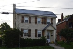 Eades Tavernlisted 1973
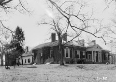 Grange, Thelisted 1973
 Hopewell Museumlisted 1989
 Kiser Stationlisted 1977
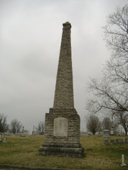 Paris Cemetery Gatehouselisted 1978
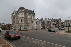 Paris Courthouse Square Historic Districtlisted 1979
Every listing in Bourbon County
Surveyed buildings and structures 6 records
- Cane Ridge Meeting House, Little Rock Road, Parisfederal building survey, 9 photographs
- Clovelley Farm Tenant House, 4958 Paris Road (east side), Parisfederal building survey, 6 photographs
- Johnson's Inn, Georgetown Pike, Parisfederal building survey, 6 photographs
- Julia Steele House, 5875 Paris Road (US Highway 27/68); 1 1/5 miles north of Bourbon County line, Parisfederal building survey, 8 photographs
- Mount Lebanon, Peacock Road, Parisfederal building survey, 12 photographs
- The Grange, Maysville Pike (U.S. Route 68), Parisfederal building survey, 11 photographs
Population over time
2 figuresParis grew from 8,553 to 10,171 between 2010 and 2020. These are the recorded population figures Wikidata holds for this place, reached through the Geographic Names Information System number this page is keyed on rather than by name, so they belong to this place and not to another of the same name. Most are census counts, but not all are: an early figure may be a founding or settlement estimate, and an estimate published within five years of a census is left out. The change column is computed, and is left blank where more than 20 years separate a figure from the one before it, because a gap that long is not a change between two counts.
| Year | People | Change |
|---|---|---|
| 2010 | 8,553 | |
| 2020 | 10,171 | +1,618 (+19%) |
Topographic sheets covering this place
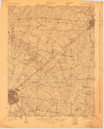
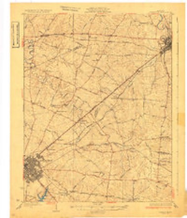
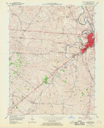
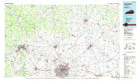
6 surveys from 11 printed sheetsMatched by testing this settlement's coordinate against the published boundary of every sheet in the United States Geological Survey's historical collection. Each opens the scanned sheet at the Survey.
- 1927 USGS Lexington quadrangle1:48000
- 1929 USGS Lexington quadrangle1:62500, 2 printings
- 1954 USGS Paris West quadrangle1:24000, 4 printings
- 1956 USGS Louisville quadrangle1:250000, 2 printings
- 1964 USGS Louisville quadrangle1:250000
- 1986 USGS Lexington quadrangle1:100000


What the histories say of this town
16,517 words1 chapter about Paris from the published histories of the county, public domain and reproduced complete.
| Chapter | From | Length |
|---|---|---|
| History | Sketches of Paris, Bourbon County, Kentucky / by G.R. Keller and J.M. McCann (1876) | 16,517 words in 2 parts |
Photographs
8 of 9 photographs shown, 1940 to 2020Taken for the Office of War Information and the Farm Security Administration, who photographed the country between 1935 and 1944. Works of United States government photographers, with no known restriction on use. Each opens its catalogue record.

Highsmith, Carol M, 2020. Library of Congress

Vachon, John, 1940. Library of Congress

Vachon, John, 1940. Library of Congress
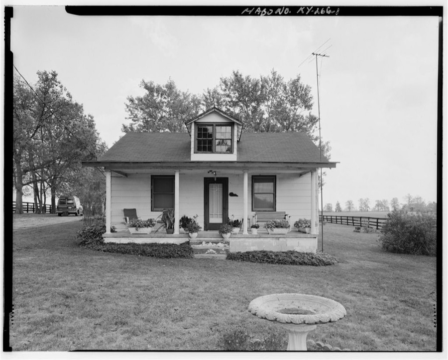
Photographer not recorded. Library of Congress
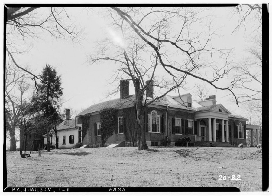
Photographer not recorded. Library of Congress
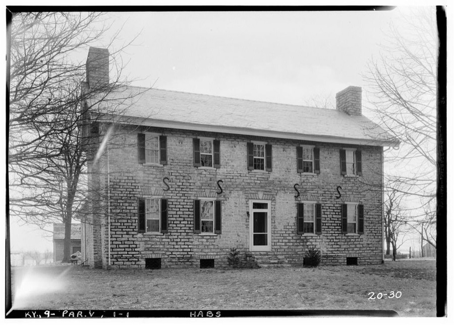
Photographer not recorded. Library of Congress
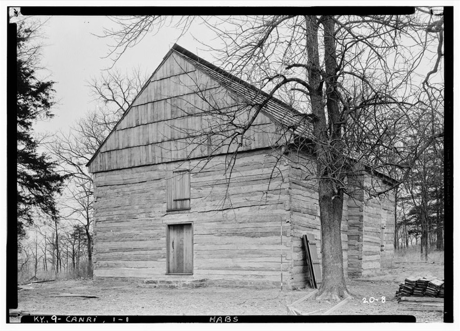
Photographer not recorded. Library of Congress
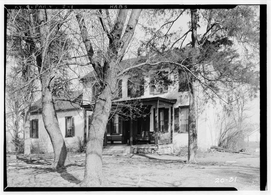
Photographer not recorded. Library of Congress
Every photograph of Bourbon County
Mines and quarries near this place
4 within 5 milesRegional context, not property-specific evidence. The federal mineral resources record lists 4 workings within 5 miles of Paris: 3 past producers, 1 producer. 1 still produces. What was taken out: Lead, Barium-Barite, Zinc, Zinc, Barium-Barite. Distance is straight-line from the map coordinates, so a quarry counted here may appear on a neighbouring settlement's page as well.
| Where | Site | Commodity | Status | Recorded |
|---|---|---|---|---|
| Hoggin Veins | Lead, Zinc, Barium-Barite | Past Producer | Barite, Galena, Sphalerite | |
| Quincy Quarries, Inc. | Stone, Crushed/Broken | Producer | ||
| Cassius M. Clay Veins | Barium-Barite, Zinc, Lead | Past Producer | Barite, Galena, Sphalerite | |
| Marsh Vein | Barium-Barite, Zinc, Lead | Past Producer | Barite, Galena, Sphalerite |
Storms near this place
60 of 90 shownRegional context, not property-specific evidence. The National Weather Service names Paris in 90 storm reports between 1994 and 2022: 45 thunderstorm wind, 33 flood, 4 hail, 4 flash flood. The reports record 2 injuries. Each account below is quoted exactly as the forecast office filed it, from the NOAA Storm Events Database, and each date opens the federal record of that event.
| When | Event | Place named | Harm | What the report says |
|---|---|---|---|---|
| October 2014 | Tornado (EF1) | Paris | 1 hurt, $250,000 | The tornado first touched down near Vine Street. Several|homes sustained significant damage including losses to portions of|roofs and damage to walls and siding. The tornado had winds of|100 mph on Vine Street and a narrow width of around 50 yards. Half|dollar size hail also occurred. One woman at 1129 Vine Street was sucked out of the house and landed on the porch. She sustained an injury requiring several stitches. Multiple trees and power lines were downed as well. Several trees fell on homes. The|tornado then lifted east of Vine Street for approximately one mile.||The tornado touched down again on the east side of the Stoner Creek|Country Club where it caused tree damage. It caused attic and soffit|damage to several homes on Windermere Lane. The tornado had winds of|80 to 85 mph during the second touchdown. Quarter size hail occurred|also. The tornado then continued to the northeast where it caused|significant damage to a couple of warehouses, finally flipping an empty tractor trailer before lifting near US-460. |
| August 2007 | Thunderstorm Wind | Paris | 1 hurt, $5,000 | One person was injured when a tree fell on a car. |
| May 2010 | Flood | Paris | $250,000 | Stoner Creek at Paris crested around 26.2 feet at noon EST on May 3. Flood stage at Paris is 18 feet. Major flooding occurs at this level, with water entering homes and businesses. |
| September 2006 | Flood | Paris | $100,000 | The Stoner Creek at Paris crested at 22.1 feet around 1 AM EST on September 24. Flood stage at Paris is 18 feet. Moderate flooding occurs at this level. Water enters some homes below the water plant. Parts of the city park are flooded. |
| April 2015 | Thunderstorm Wind | Paris | $60,000 | The county Emergency Manager reported roof damage to multiple homes due to thunderstorms. |
| August 2007 | Thunderstorm Wind | Paris | $50,000 | A barn collapsed near Paris. Tree damage was also reported. |
| June 1997 | Tornado (F0) | Paris | $30,000 | A brief F0 tornado produced severe damage to a horse barn including the concrete block section. Several horses were in their stalls as the barn was thrown, however non of them were seriously injured. Report was from the DES. |
| March 2017 | Thunderstorm Wind | Paris | $25,000 | The Bourbon County Emergency Manager reported that severe thunderstorm winds destroyed an old barn. |
| April 2000 | Thunderstorm Wind | Paris | $25,000 | Part of a roof was blown off a department store. Several trees were downed. |
| August 2001 | Thunderstorm Wind | Paris | $25,000 | no account filed |
| July 2015 | Thunderstorm Wind | Paris | $5,000 | A public report received indicated that tree limbs and power lines were down at Garrard City Park. |
| January 2009 | Flood | Paris | $5,000 | Snow and ice melt from a recent winter storm, coupled with heavy rainfall caused minor flooding on Stoner Creek near Paris. The creek crested at 18.5 feet, 0.5 feet above flood stage, at 0400 local time on January 29th. |
| October 2013 | Thunderstorm Wind | Paris | $4,000 | Local emergency management reported trees and power lines downed across Paris. Several power outages ensued. |
| June 2022 | Thunderstorm Wind | Paris | - | Trees were down in Paris. |
| August 2019 | Thunderstorm Wind | Paris | - | A tree was down on Isgris Road. |
| June 2019 | Thunderstorm Wind | Paris | - | Trees were reported down along Creekview Drive. |
| August 2018 | Flood | Paris | - | Roads in the area had water over them due to heavy rainfall, but no roads had to be closed. |
| August 2018 | Thunderstorm Wind | Paris | - | One tree was reported down near Scott and Vine in Paris. Two other trees were reported down near 833 Brentsville Road. |
| September 2018 | Thunderstorm Wind | Paris | - | The media reported one tree down blocking 460 in Paris, Kentucky in Bourbon County. |
| February 2018 | Flood | Paris | - | The Stoner Creek at Paris went into minor flood. The river crested at 18.88 on February 22, which is 0.88 feet above flood stage. |
| March 2017 | Flood | Paris | - | Heavy rain brought the Stoner Creek at Paris into minor flood. The river exceeded flood stage during the day on March 31 and continued rising into the first part of April. |
| March 2017 | Thunderstorm Wind | Paris | - | The Bourbon County Emergency Manager reported numerous trees down across the area due to severe thunderstorms. |
| April 2017 | Flood | Paris | - | Stoner Creek at Paris crested at 19.05 feet early on April 1st before dropping below flood stage. |
| June 2017 | Flood | Paris | - | Heavy rainfall associated from Tropical Storm Cindy brought the Stoner Creek at Paris into minor flood. The river crested at 19.42 feet on June 24. |
| June 2016 | Thunderstorm Wind | Paris | - | Local media reported to the NWS large trees were down in Bourbon County. |
| July 2016 | Thunderstorm Wind | Paris | - | Trained spotters reported trees down in the area due to severe thunderstorm winds. |
| March 2015 | Flood | Paris | - | Several inches of wet snow coupled with several inches of rain resulted in Stoner Creek at Paris to rise above flood stage. The river crested at 21.0 feet early on March 5th then fell below flood stage late on March 6th. |
| March 2015 | Flood | Paris | - | Heavy rain on top of already saturated ground pushed the Stoner Creek at Paris above flood stage. The river crested at 19.5 feet during the evening of March 10th, then fell below flood stage in the late afternoon on March 11th. |
| April 2015 | Flood | Paris | - | Heavy rain brought Stoner Creek at Paris above flood stage on April 7th. The river crested at 19.4 feet early on April 8th before dropping below flood stage later that same day. |
| March 2015 | Flood | Paris | - | Stoner Creek flooded, closing Kentucky State Highway 460 for a time. |
| April 2015 | Flood | Paris | - | Heavy rain on top of saturated ground brought Stoner Creek at Paris to flood. The river crested at 18.0 feet early on April 15th. This was the 3rd separate occurrence of a flood at this site for the month of April, 2015. |
| March 2015 | Flood | Paris | - | Heavy rainfall earlier in the week worked through Stoner Creek and pushed the river into minor flood in Paris. The river level crested at 18.4 feet on March 14th during the afternoon. |
| April 2015 | Flood | Paris | - | Heavy rain brought the Stoner Creek at Paris into flood. The river rose above flood stage during the morning on April 3rd, crested at 26.7 feet on April 4th and then fell below flood stage during the afternoon of April 5th. |
| July 2015 | Flood | Paris | - | Repeated rounds of severe thunderstorms brought 5 to locally 8 inches of rain to the area July 13 to 14. This excessive rainfall pushed the Stoner Creek at Paris briefly above flood stage. The river crested at 18.1 feet, 0.1 feet above flood stage. |
| December 2015 | Flood | Paris | - | Nearly an inch of rain across the lower Ohio River valley brought the Stoner Creek at Paris into minor flood. The river rose quickly, cresting at 18.23 feet late on December 1st before falling below flood stage several hours later. |
| October 2014 | Hail | Paris | - | One inch hail accompanied the same storm that produced a tornado. |
| April 2014 | Flood | Paris | - | Stoner Creek, located in Paris, flooded during the evening of April 30th. It exceed the flood stage at the water treatment plant of 18 feet during the late afternoon hours and reached 18.2 feet by mid-evening before falling below flood stage around midnight early on May 1st. |
| July 2013 | Flood | Paris | - | Minor flooding developed on Stoner Creek during the late evening on July 5th. Flood stage at Paris is 18 feet. Stoner Creek peaked at 19.6 feet at 10 pm on July 5th. |
| December 2013 | Flood | Paris | - | Heavy rains across the Bluegrass Region on the 5th and the 6th (in advance of the cold air intrusion that occurred on the 6th) led to minor river flooding at Paris. Stoner Creek rose to 18.5 feet during the late evening on the 6th. Flood state is 16 feet. |
| December 2013 | Flood | Paris | - | Heavy rains across the Bluegrass Region on the 5th and the 6th led to minor river flooding at Paris. Stoner Creek rose to 18.5 feet during the late evening on the 6th. Flood state is 16 feet. |
| January 2013 | Flood | Paris | - | Several days worth of heavy rain across the Kentucky Bluegrass brought minor flooding to Stoner Creek at Paris. The creek crested at 18.6 feet during the early morning hours on the 14th of January. Flood stage is 18 feet. |
| March 2013 | Flood | Paris | - | Heavy rains on the 18th of March brought minor flooding to Stoner Creek in Paris. Flood stage on Stoner Creek is 18 feet. The creek crested at 19.6 feet just after midnight on March 19th. |
| July 2012 | Flash Flood | Paris | - | A rain gauge at a Bourbon County middle school in Paris measured 3.08 inches of rain within a 2 hour period. Law enforcement reported several flooded roads in Paris. |
| September 2012 | Thunderstorm Wind | Paris | - | The Bourbon County Fire Department reported that trees had fallen across several areas county-wide. |
| May 2011 | Flood | Paris | - | Stoner Creek at Paris crested around 19.4 feet at 805 PM EST on May 3. Flood stage at Paris is 18 feet. Minor flooding occurs at this level, with some city streets near the creek flooded. |
| March 2011 | Flood | Paris | - | Stoner Creek at Paris crested at 18.8 feet around 7 AM EST on March 1. Flood stage at Paris is 18 feet. Minor flooding occurs at this level, with some roads near the creek closed. |
| April 2011 | Flood | Paris | - | Stoner Creek at Paris crested around 24.4 feet at 905 PM EST on April 12. Flood stage at Paris is 18 feet. Moderate flooding occurs at this level with water entering some homes below the water plant. |
| April 2011 | Thunderstorm Wind | Paris | - | A tree was down on Georgetown Rd. |
| April 2011 | Flood | Paris | - | Stoner Creek at Paris crested at 19.6 feet around 1150 PM EST on April 23. Flood stage at Paris is 18 feet. Minor flooding occurs at this level. |
| November 2011 | Flood | Paris | - | Stoner Creek in Paris experienced minor flooding. This small river crested at 18.6 feet late in the evening on November 28th. Flood stage is 18 feet. |
| August 2011 | Thunderstorm Wind | Paris | - | Several trees were downed in and around Paris. Power was out in Paris for 2 hours. |
| July 2010 | Thunderstorm Wind | Paris | - | Tree were blown near Springhill Drive. |
| December 2009 | Flood | Paris | - | Stoner Creek at Paris crested at 18.7 feet around 330 PM on December 9. Flood stage at Paris is 18 feet. The creek is out of its banks in some locations. |
| February 2009 | Thunderstorm Wind | Paris | - | Power line were reported down and a roof was blown off of a barn in Paris. |
| June 2009 | Thunderstorm Wind | Paris | - | Trees were downed countywide. |
| June 2009 | Thunderstorm Wind | Paris | - | Trees were down on Spears Mill Road. |
| June 2009 | Heavy Rain | Paris | - | A COOP Observer measured 3.16 inches of rain over a three hour period. |
| July 2009 | Flood | Paris | - | Stoner Creek reached flood stage just before 5 pm local time. Some minor flooding in low lying areas occurred due to this flooding. The creek stayed above flood stage until just after midnight on August 1st. |
| June 2009 | Heavy Rain | Paris | - | A spotter measured 3.71 inches of rain in Paris. |
| February 2008 | Flood | Paris | - | Stoner Creek at Paris crested at 18.4 feet around 950 PM EST on February 6. Flood stage at Paris if 18 feet. Minor flooding occurs at this level. |
Newspapers printed here
20,134 digitised pages2 papers published in this town, digitised by the Library of Congress and free to read: 2,570 issues, 20,134 pages. Every page is searchable, so a name or a street can be looked for directly in what the town printed about itself at the time.
| Newspaper | Published |
|---|---|
| Semi-Weekly Bourbon News | 1883 to 1895 |
| The Bourbon News | 1895 to 19?? |
What the paper printed
14,994 wordsFront pages of the local paper, read from the Library of Congress scans: 7 issues spread across its run from 1883 to 1922, 14,994 words in total. Each is reproduced on its own page, exactly as the recogniser returned it.
These pages read less well than anything else here, and the number is worth stating: about three words in four come through cleanly, against nine in ten for the building records. An 1896 broadsheet sets eight-point type in seven columns on microfilm, which is the hardest thing in this archive to read by machine. We tested our own recognisers against the Library's and they were not better, so the Library's text is what appears, with the wholly unreadable columns removed. Read it as a guide to what the paper covered, and follow the link to the scan before quoting anything.
| Issue | Paper | Length |
|---|---|---|
| 1883-08-28 | Semi-Weekly Bourbon News | 4,298 words |
| 1883-09-28 | Semi-Weekly Bourbon News | 4,217 words |
| 1897-03-05 | The Bourbon News | 691 words |
| 1897-05-21 | The Bourbon News | 689 words |
| 1897-08-10 | The Bourbon News | 1,176 words |
| 1897-10-26 | The Bourbon News | 788 words |
| 1922-12-29 | The Bourbon News | 3,135 words |
Nearest settlements
The eight closest, with where each one stands in the county. Distances are straight-line, computed from the Geographic Names Information System coordinates.
| Map | Place | Distance | Sheets |
|---|---|---|---|
| Brentsville | 2.7 miles | 11 | |
| Currentsville | 3.5 miles | 8 | |
| Monterey | 3.9 miles | 11 | |
| Kiserton | 4.8 miles | 8 | |
| Ewalt Crossroads | 5.1 miles | 8 | |
| Sidville | 5.6 miles | 11 | |
| Escondida | 5.9 miles | 8 | |
| Shawhan | 6.4 miles | 8 |
Elsewhere
Matched on this settlement's Geographic Names Information System number rather than its name, so it cannot be a different place of the same name in another state.
| Wikipedia article on Paris | An encyclopaedic summary. Its text is share-alike, so it is linked here rather than copied. |
| Wikidata item Q3181341 | The structured record the population and elevation above come from. Public domain (CC0). |
Provenance
This settlement is recorded in the Geographic Names Information System as feature 500172. The sheet list is computed by point-in-boundary test against the United States Geological Survey's historical topographic inventory. Both are works of the United States government and carry no copyright under 17 U.S.C. 105.
Mines and quarries. USGS Mineral Resources Data System (MRDS) https://mrdata.usgs.gov/mrds/ A work of the United States government, no copyright under 17 U.S.C. 105.
Storms. NOAA National Centers for Environmental Information, Storm Events Database https://www.ncei.noaa.gov/stormevents/ A work of the United States government, no copyright under 17 U.S.C. 105. Narratives are quoted verbatim from the National Weather Service report and are not edited or summarised.