 Block
Choateville, Kentucky
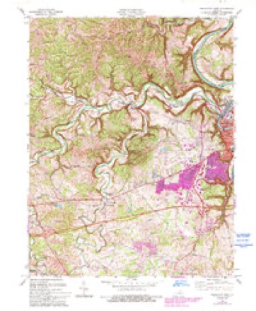
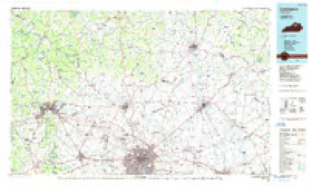
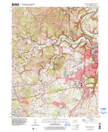
16 topographic sheets cover this place, the earliest surveyed in 1922 and the latest in 1997. It stands in the Frankfort census division. It lies in ZIP code area 40601. It lies near Buttimer Hill. The Survey maps it on the Frankfort West quadrangle.
Topographic sheets covering this place
9 surveys from 16 printed sheetsMatched by testing this settlement's coordinate against the published boundary of every sheet in the United States Geological Survey's historical collection. Each opens the scanned sheet at the Survey.
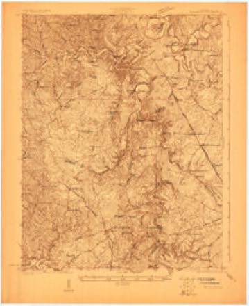
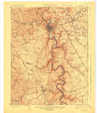
- 1922 USGS Frankfort quadrangle1:48000
- 1924 USGS Frankfort quadrangle1:62500, 2 printings
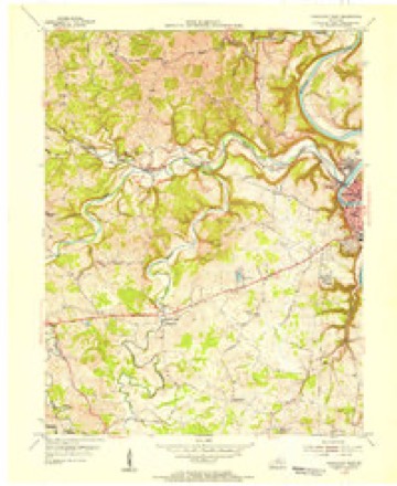
- 1953 USGS Frankfort West quadrangle1:24000
- 1956 USGS Louisville quadrangle1:250000, 2 printings
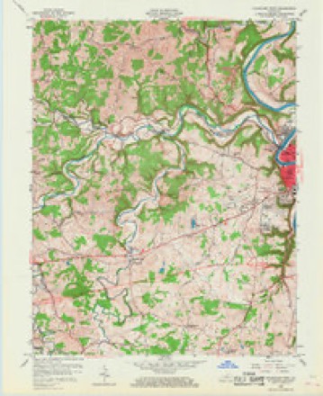
- 1959 USGS Frankfort West quadrangle1:24000, 2 printings
- 1964 USGS Louisville quadrangle1:250000
- 1970 USGS Frankfort West quadrangle1:24000, 5 printings
- 1986 USGS Lexington quadrangle1:100000
- 1997 USGS Frankfort West quadrangle1:24000


Fires near this place
3 since 1999Regional context, not property-specific evidence. The federal wildfire occurrence database lists 3 fires within 5 miles of Choateville between 1999 and 2010, burning about 9 acres in total. None started naturally. None was recorded as arson. Distance is straight-line from the map coordinates, so a fire counted here may appear on a neighbouring settlement's page as well.
| Reported cause | Fires |
|---|---|
| Debris and open burning | 3 |
The most recent of them, most recent first, with the day each was reported and the service that recorded it.
| Date | Cause | Size | Reported by | Name on the report |
|---|---|---|---|---|
| 19 March 2010 | Debris and open burning | 2.0 acres | Kentucky Division of Forestry | not named |
| 18 March 2010 | Debris and open burning | 2.0 acres | Kentucky Division of Forestry | not named |
| 4 November 1999 | Debris and open burning | 5.0 acres | Kentucky Division of Forestry | not named |
Settlements close enough to share some of these fires:
Mines and quarries near this place
4 within 5 milesRegional context, not property-specific evidence. The federal mineral resources record lists 4 workings within 5 miles of Choateville: 2 prospects, 1 producer, 1 past producer. 1 still produces. What was taken out: Stone, Crushed/Broken, Clay. Distance is straight-line from the map coordinates, so a quarry counted here may appear on a neighbouring settlement's page as well.
| Where | Site | Commodity | Status | Recorded |
|---|---|---|---|---|
| Branch Junction Clay | Clay | Prospect | ||
| Franklin County Mine | Stone, Crushed/Broken | Past Producer | ||
| Glenns Creek | Stone, Crushed/Broken | Producer | ||
| Thorn Hill Clay Bed | Clay | Prospect |
Storms near this place
6 since 2008Regional context, not property-specific evidence. The National Weather Service names Choateville in 6 storm reports between 2008 and 2022: 2 flood, 1 flash flood, 1 thunderstorm wind, 1 tornado. No death or injury is recorded in these reports. Each account below is quoted exactly as the forecast office filed it, from the NOAA Storm Events Database, and each date opens the federal record of that event.
| When | Event | Place named | Harm | What the report says |
|---|---|---|---|---|
| May 2022 | Hail | Choateville | - | Two inch diameter hail was observed in Frankfort. |
| December 2021 | Tornado (EF1) | Choateville | - | The National Weather Service conducted a storm damage survey in Franklin County from storms that occurred early Monday morning. ||The survey team determined that a tornado touched down on the 1100 block of Manley Leestown Road, about two miles north of Frankfort. Drone imagery showed a well built 40 by 60 foot barn had significant roof damage and the south wall blown out.||The skipping tornado then went through a large grove of trees. Dozens of trees were twisted and uprooted, ranging from cedar to maple to Osage orange trees. About a dozen cedar trees were twisted and laying in multiple directions.||The tornado then hit a well-built two-story house on the 100 block of Shadrick Ferry Road. The southwest side of the house had significant damage and that portion of the roof fell to the north northeasterly direction. Insulation from the house went from the north all the way to a southwesterly direction. A doorbell camera showed the distinct tornado with debris being thrown in all directions around 411 AM EST.||The tornado appeared to lift briefly before touching down on the 6000 block of Owenton Road. A brand new, well constructed 30 by 50 barn took significant damage to the roof. Both garage doors were blown in with tool chests and many heavier items being scattered about the garage. Throughout the entire barn the thick concrete foundation was shifted about an inch. Immediately next to the barn, there was a one story family residence that had no damage whatsoever.||Large sections of roof were thrown 60 yards into the neighbors trees and yard. The tornado lifted at this point. The winds were consistently between 85 and 90 mph along this narrow path, and the width was between 40 and 50 yards.||The National Weather Service would like to thank Franklin County Emergency Management Deputy Ray Kinney for his assistance with the survey. |
| June 2015 | Thunderstorm Wind | Choateville | - | A trained spotter reported several trees down on River Bend Road and was confirmed with pictures sent to the NWS. |
| April 2015 | Flood | Choateville | - | Heavy rain brought the Kentucky River at Frankfort above flood stage, cresting at 36.15 feet during the early morning hours of April 4th. |
| August 2014 | Flood | Choateville | - | A spotter reported a stalled vehicle near State Highway 127 and Benson Creek. The ASOS site at the Frankfort Airport measured measured 1.64 inches of rain in one hour's time ending at 853 pm EDT. |
| January 2008 | Flash Flood | Choateville | - | Several roads in Frankfort were impassable. |
Nearest settlements
The eight closest, with where each one stands in the county. Distances are straight-line, computed from the Geographic Names Information System coordinates.
| Map | Place | Distance | Sheets |
|---|---|---|---|
| Kennebec | 0.6 miles | 16 | |
| Glore (historical) | 1.2 miles | 16 | |
| Frankfort | 1.8 miles | 17 | |
| Broadville Manor | 2.5 miles | 16 | |
| Benson | 2.8 miles | 16 | |
| Big Eddy | 3.3 miles | 17 | |
| Fox Gap (historical) | 3.4 miles | 16 | |
| Honeysuckle (historical) | 3.5 miles | 16 |
Elsewhere
Matched on this settlement's Geographic Names Information System number rather than its name, so it cannot be a different place of the same name in another state.
| Wikidata item Q122567314 | The structured record the population and elevation above come from. Public domain (CC0). |
Provenance
This settlement is recorded in the Geographic Names Information System as feature 517007. The sheet list is computed by point-in-boundary test against the United States Geological Survey's historical topographic inventory. Both are works of the United States government and carry no copyright under 17 U.S.C. 105.
Wildfire. Short, Karen C. 2022. Spatial wildfire occurrence data for the United States, 1992-2020 [FPA_FOD_20221014]. 6th Edition. Fort Collins, CO: Forest Service Research Data Archive. https://doi.org/10.2737/RDS-2013-0009.6 Collected with United States Government funding and usable without additional permissions or fees.
Mines and quarries. USGS Mineral Resources Data System (MRDS) https://mrdata.usgs.gov/mrds/ A work of the United States government, no copyright under 17 U.S.C. 105.
Storms. NOAA National Centers for Environmental Information, Storm Events Database https://www.ncei.noaa.gov/stormevents/ A work of the United States government, no copyright under 17 U.S.C. 105. Narratives are quoted verbatim from the National Weather Service report and are not edited or summarised.