Block
From the record
53 National Register listings published here, 3 of them National Historic Landmarks.
Sources: the county history on the Internet Archive · the National Register database, National Park Service
56 topographic sheets and 8 fire insurance atlases across 1 place.
53 National Register listings published here, 3 of them National Historic Landmarks.
Sources: the county history on the Internet Archive · the National Register database, National Park Service
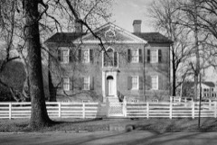
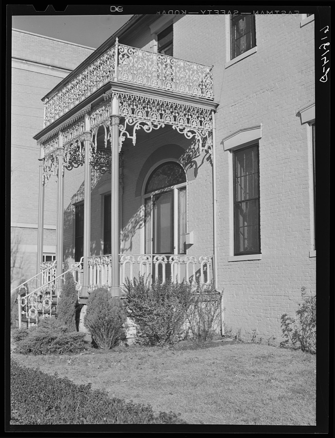
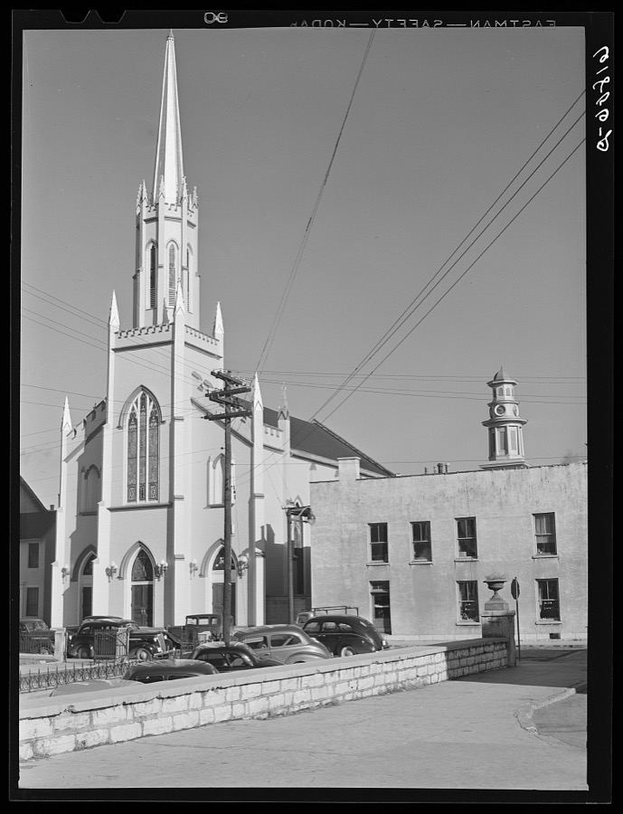
Taken for the Office of War Information and the Farm Security Administration, who photographed the country between 1935 and 1944. Works of United States government photographers, with no known restriction on use. Each opens its catalogue record.

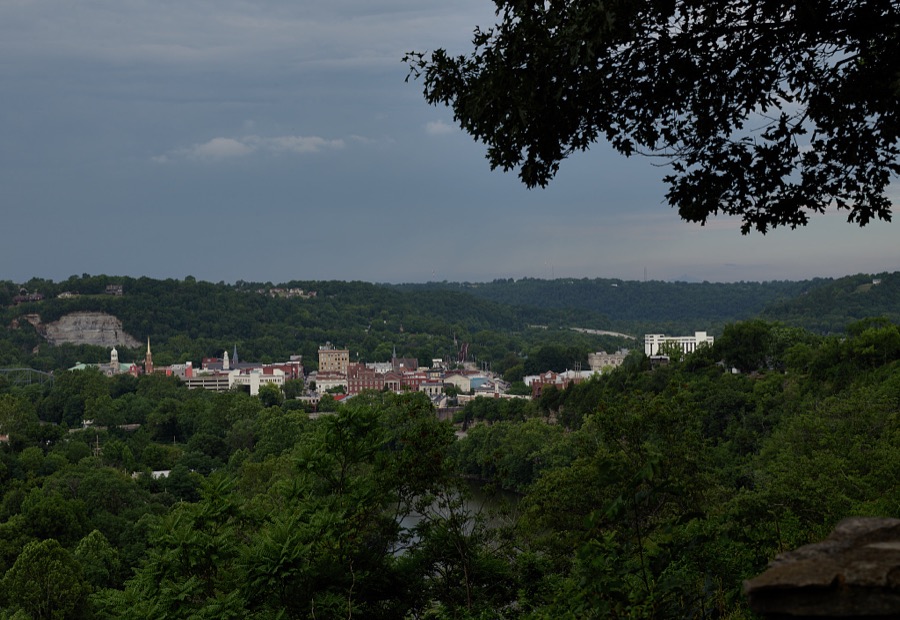

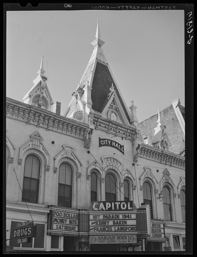











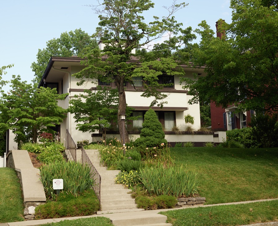
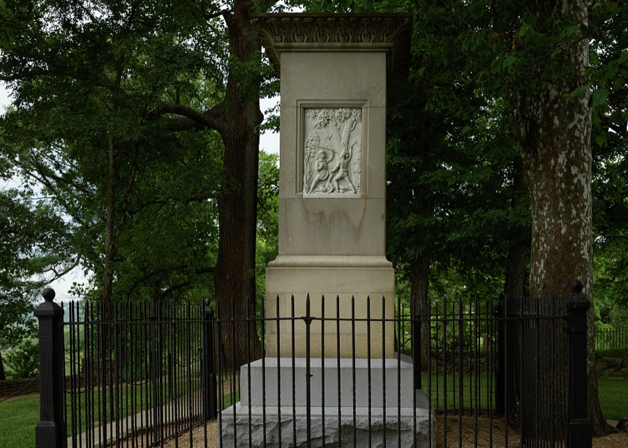
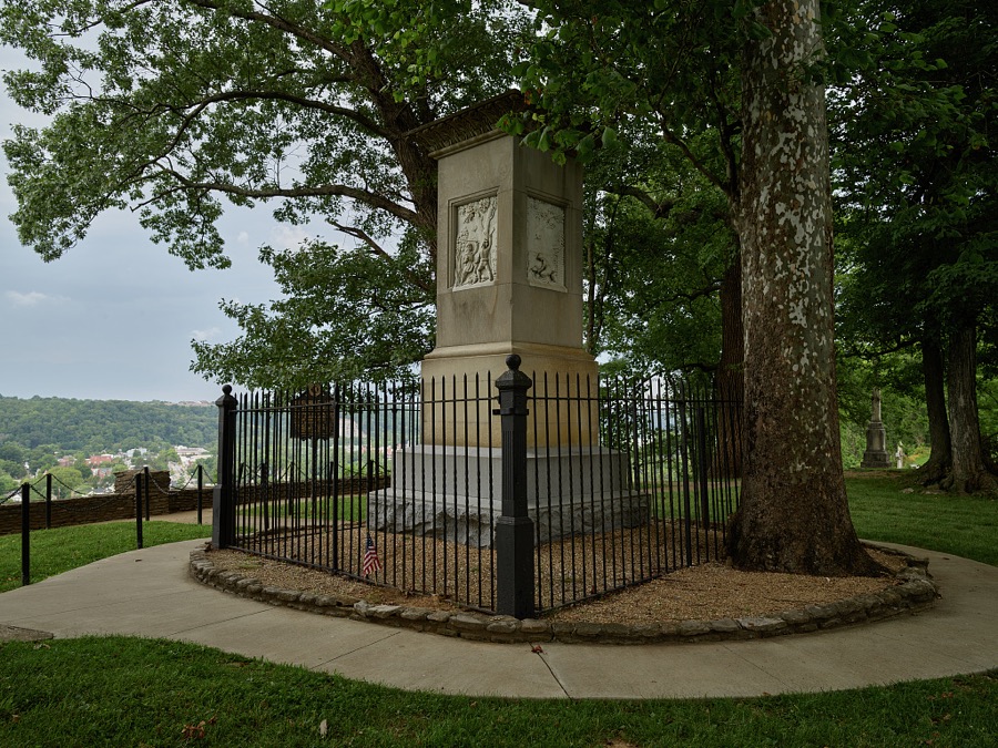
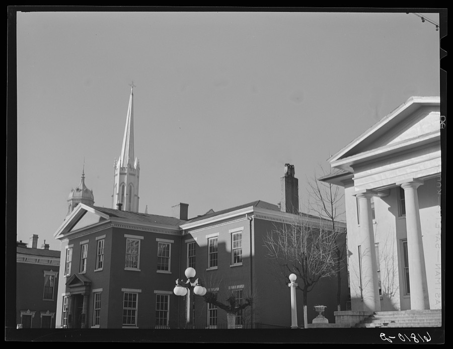

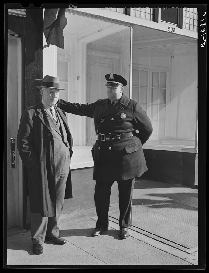
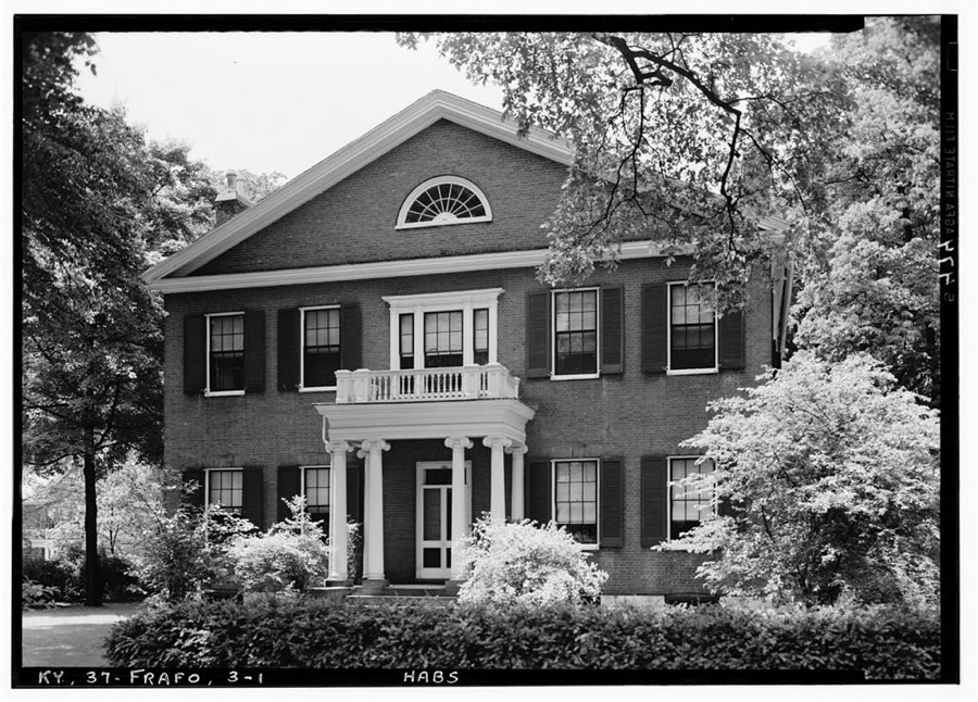
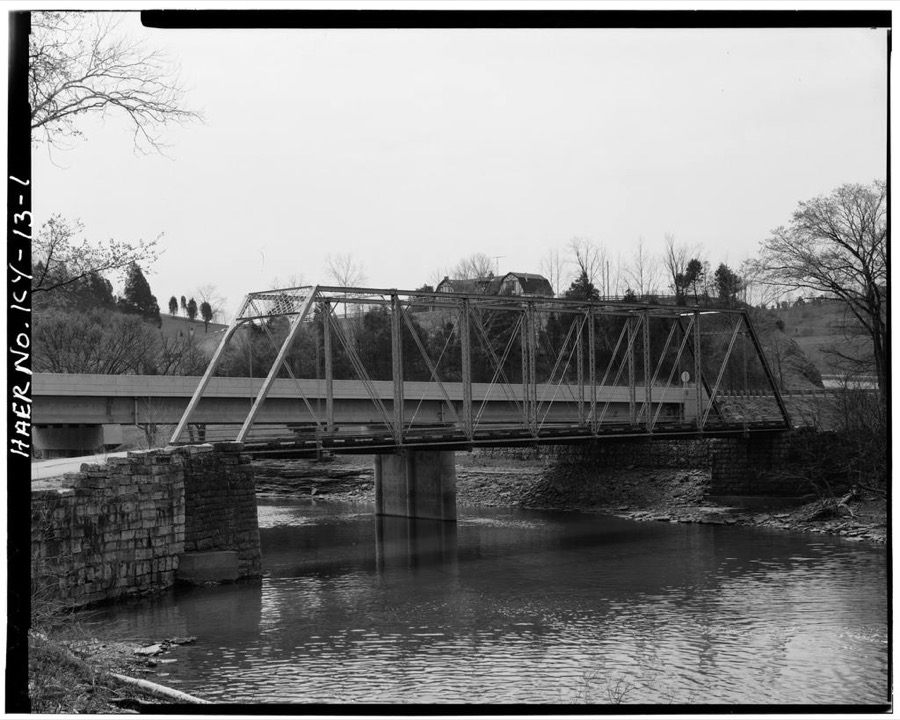
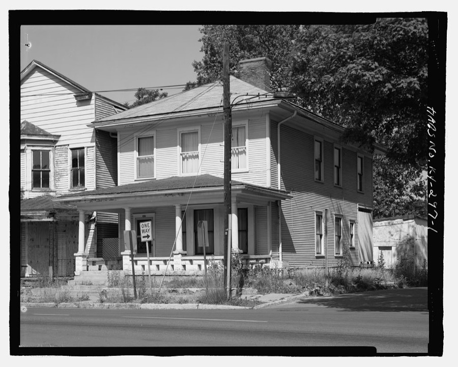

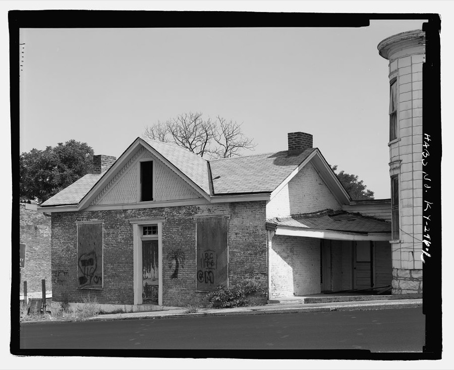
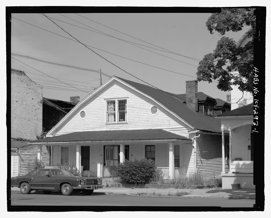
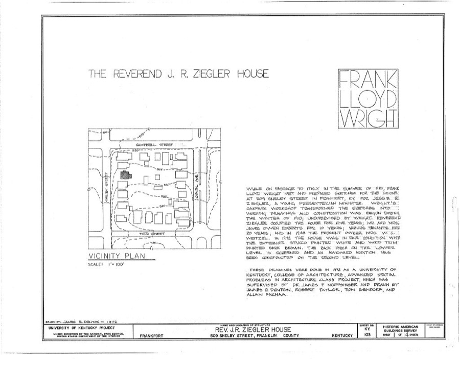
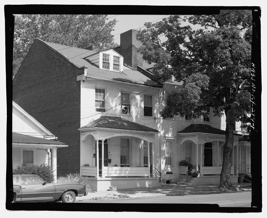
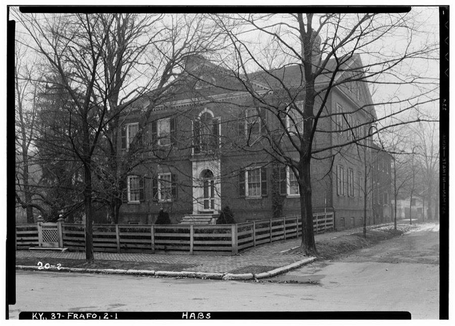
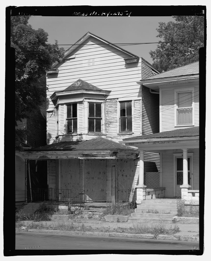
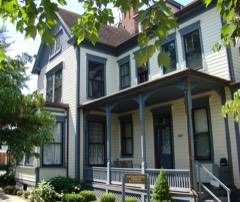
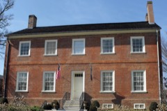
Every property in this county listed on the National Register of Historic Places, with the year it was listed and the federal nomination document.
Franklin County has 1 covered bridge on the National Register. Each is a listed structure with a federal nomination on file.
 | Switzer Covered Bridge | Listed 1974 |
Sampled issues, machine-read from the Library of Congress scan and published page by page, so every headline and column is searchable text.
Frankfort, Ky., 1877 to 1882. Machine-read from the Library of Congress scan.
Frankfort, Ky., 1882 to 1908. Machine-read from the Library of Congress scan.
Frankfort, Ky., 1908 to 19??. Machine-read from the Library of Congress scan.
Drawn when these were printed as single large sheets: the town seen from the air, and the county divided into its farms with every owner named. Each opens the original at the Library of Congress.

Selected from the Digital Public Library of America's 8 image records catalogued for this county. Every one shown here carries a public-domain status or a licence that permits reuse on a site that carries advertising; non-commercial, share-alike and restricted images are excluded. The selection is spread across the county's towns (at most eight per town), so no single institution's bulk upload crowds out the rest. Each opens the holding library's record, and the complete set at the Digital Public Library of America is one click away.

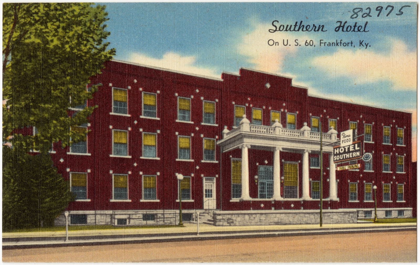


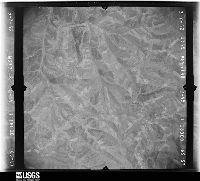
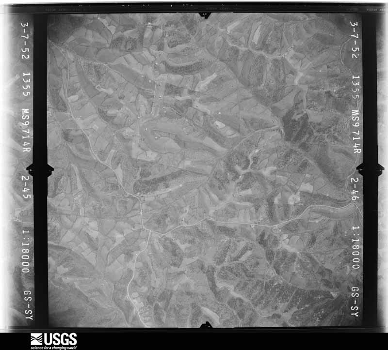
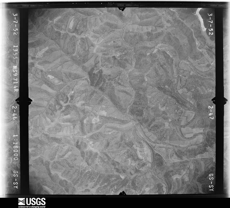
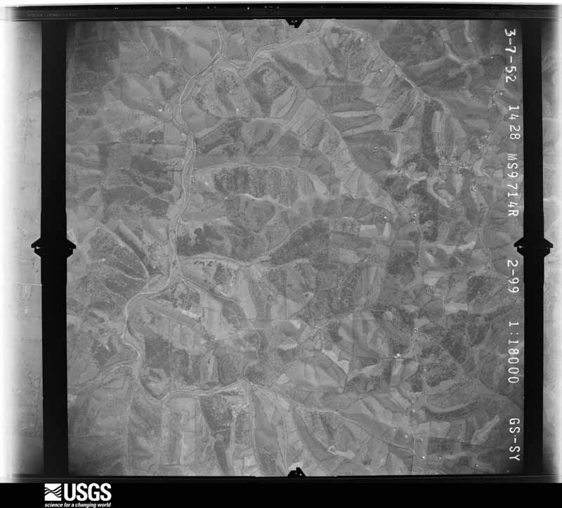
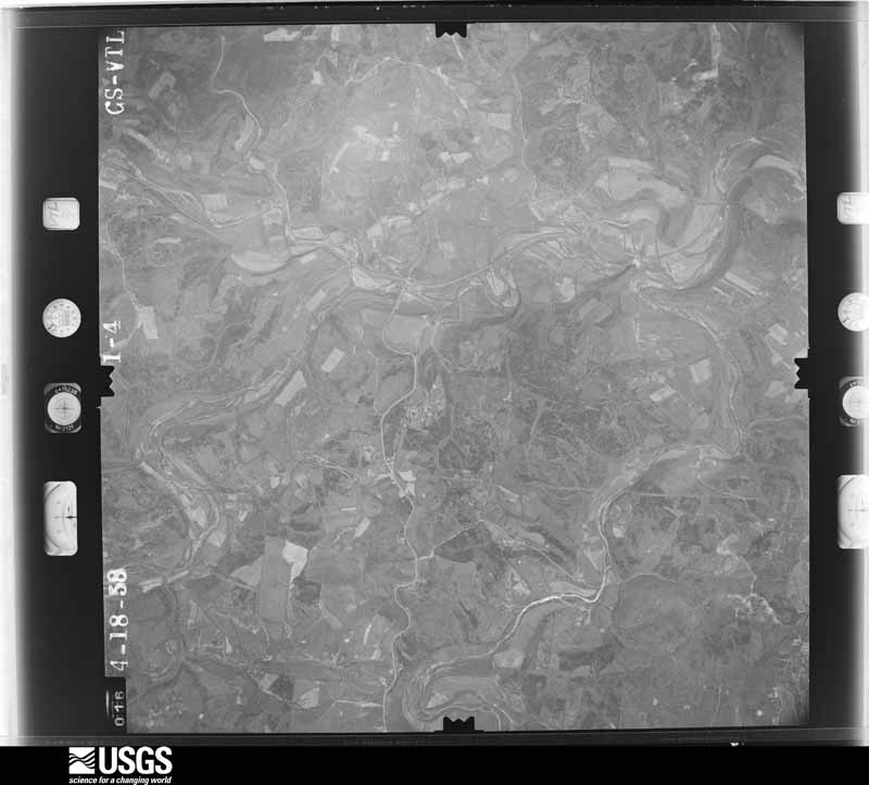
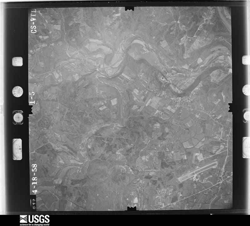
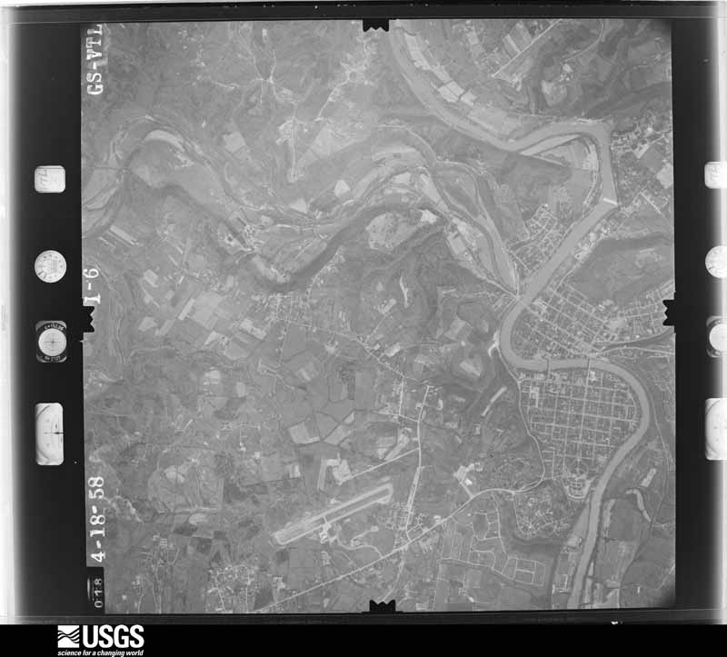
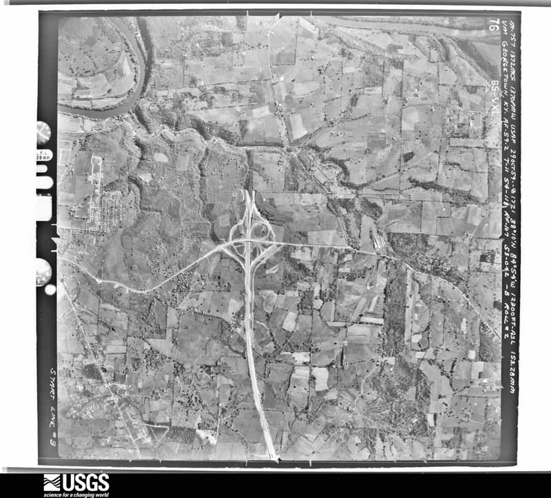
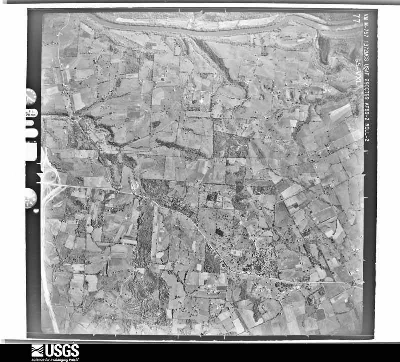
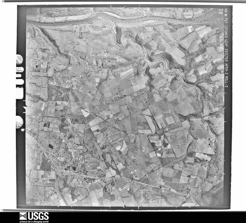
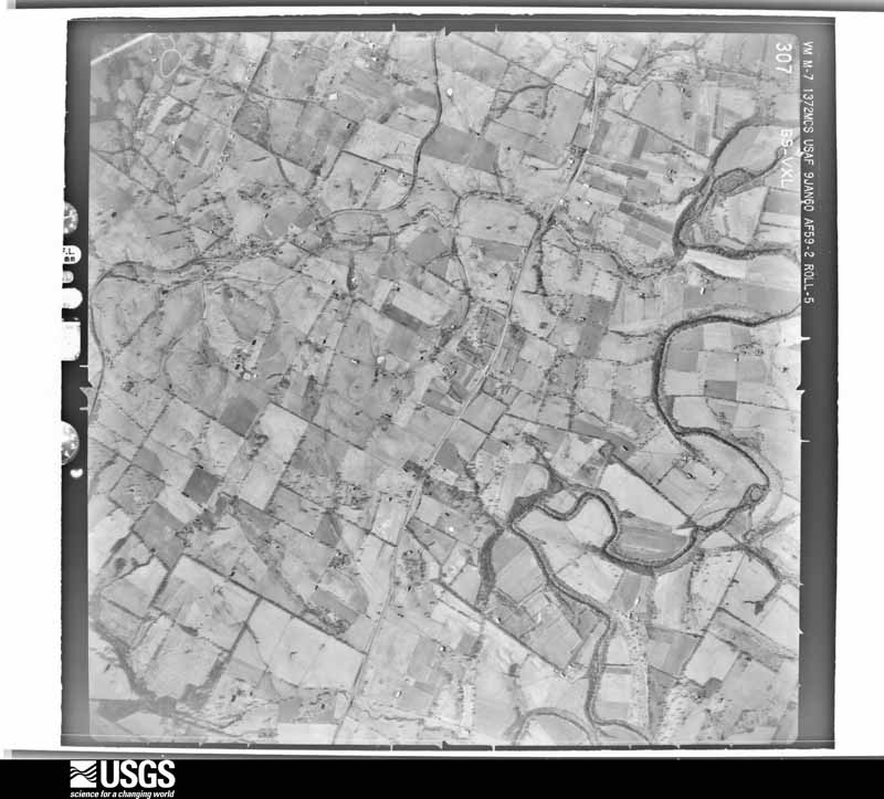
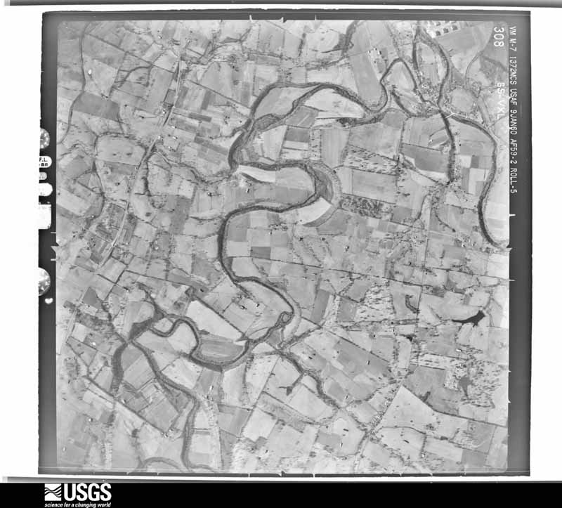
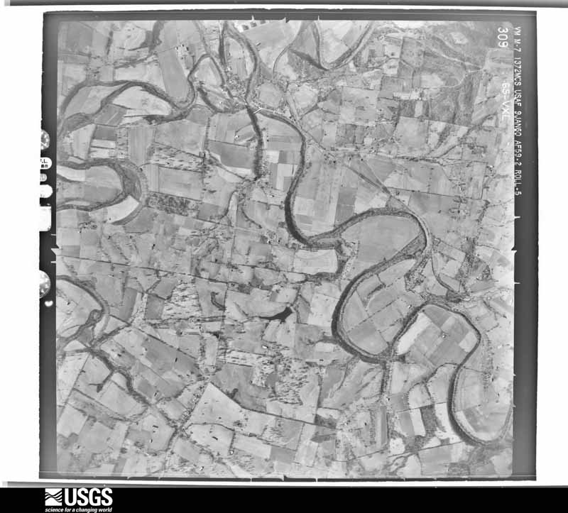
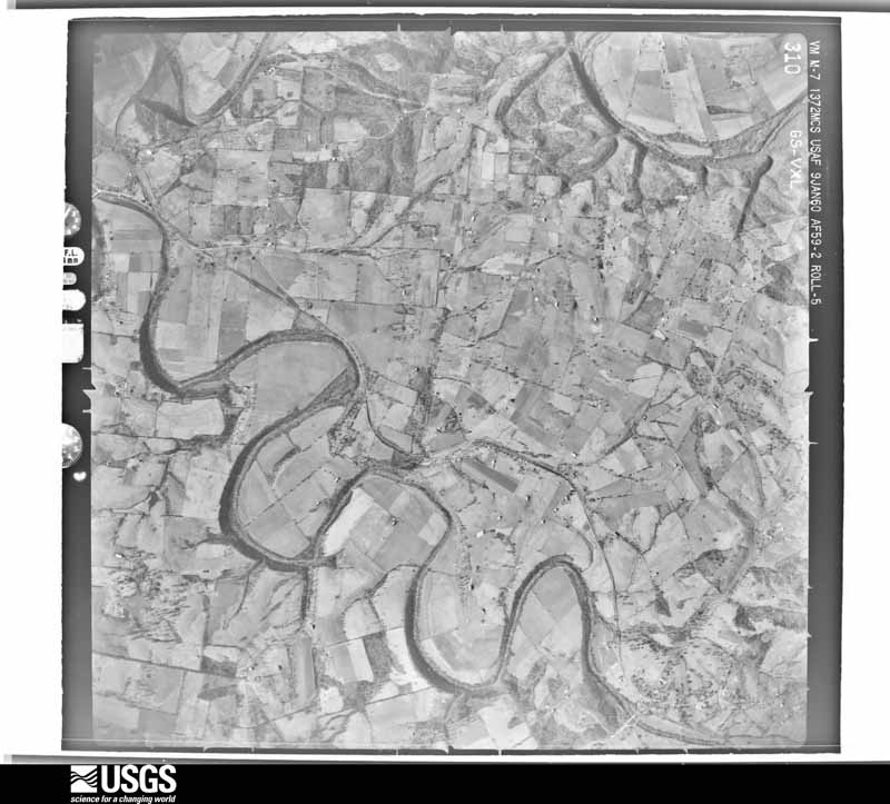
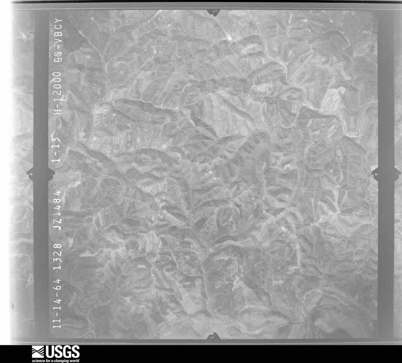
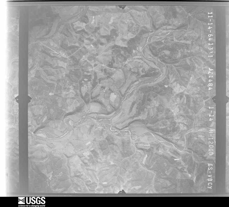
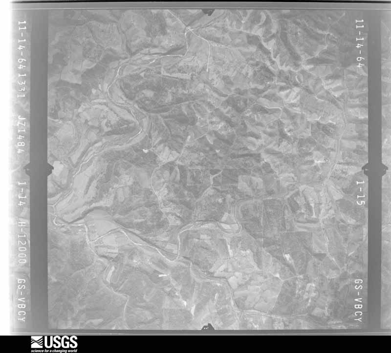
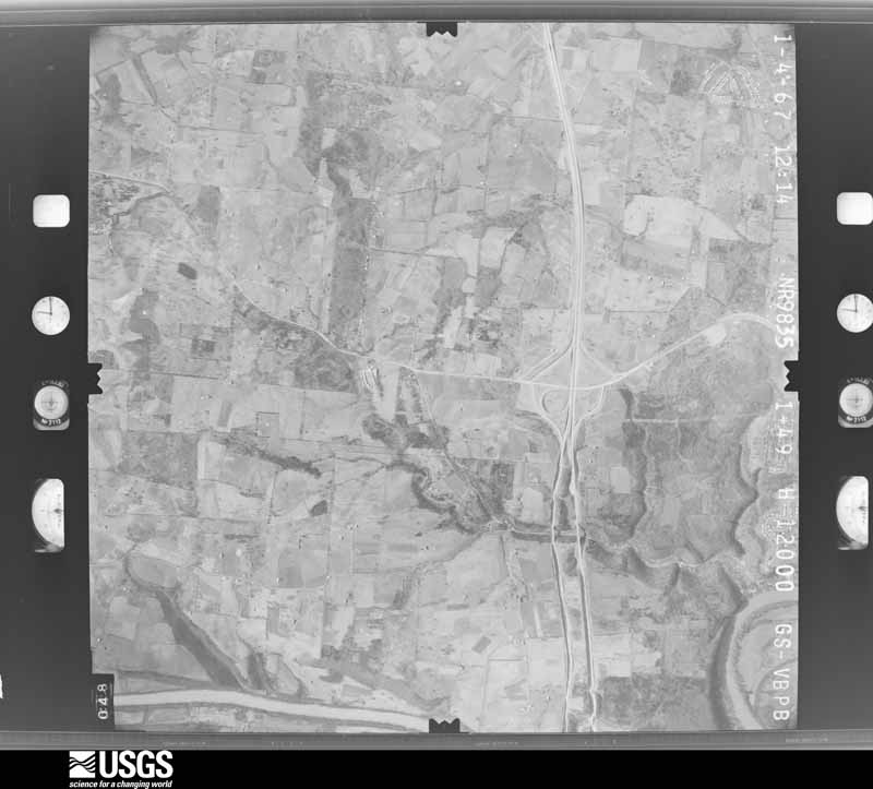
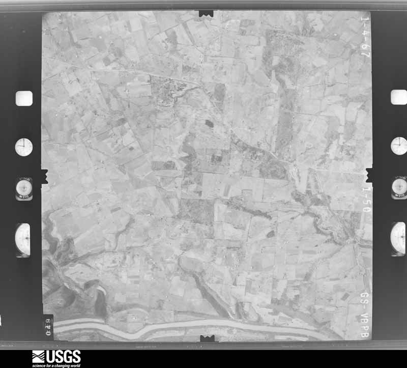
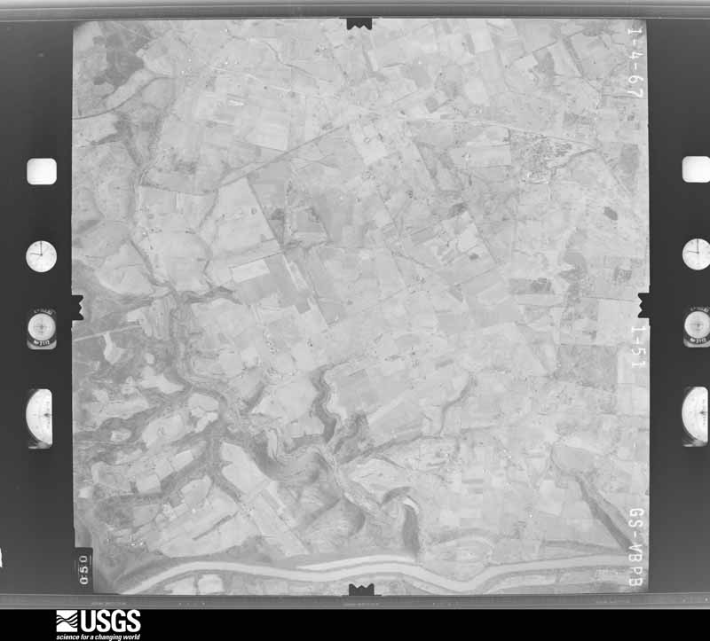
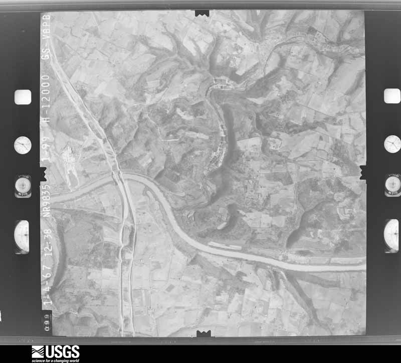
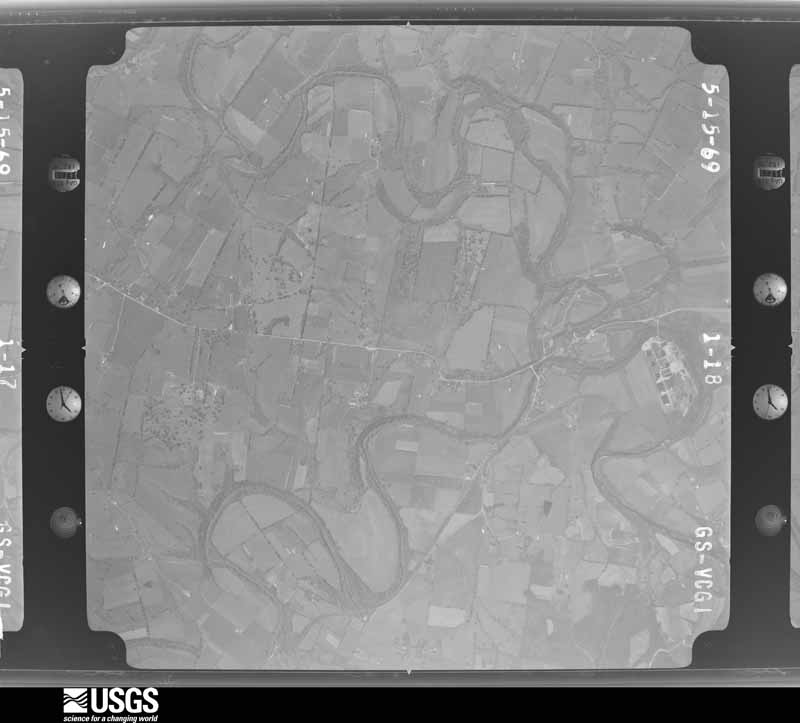
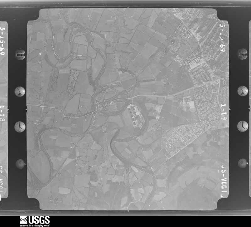
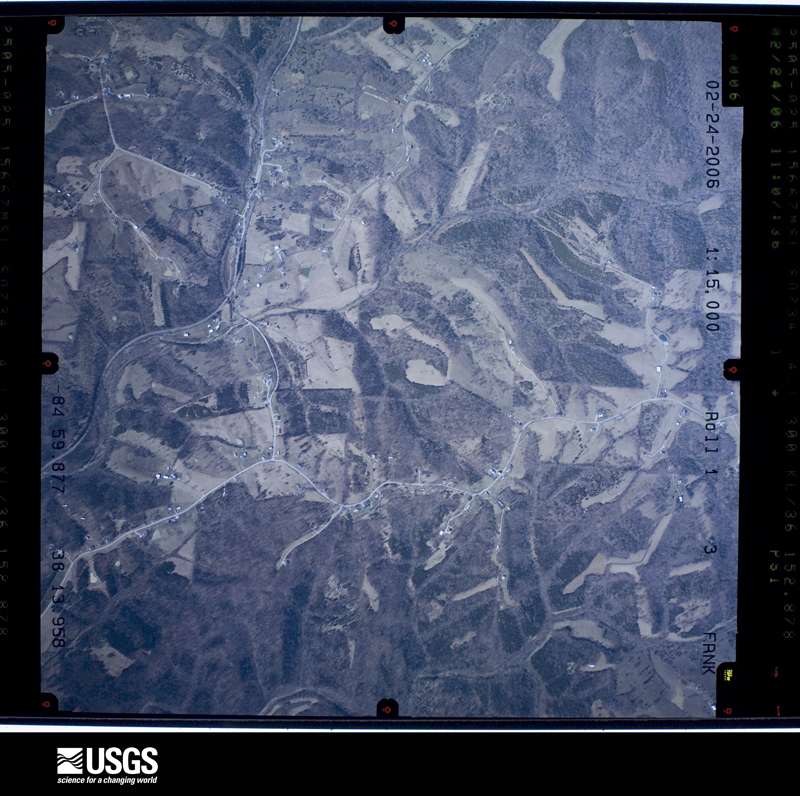
Flown by the U.S. Geological Survey between 1937 and 1989, the Aerial Photo Single Frames collection is the definitive mid-century view of the land: fields, roads and rivers as the camera saw them. The Survey holds 707 frames inside the rectangle that bounds this county; the 32 frames below were taken over the county itself, chosen across the decades of flights (at most four a year from that rectangle), so one flight cannot crowd out the rest. The full set is free to browse and download at EarthExplorer under the dataset Aerial Photo Single Frames.








The thermometers that kept this county's weather, and the gages that measured the flow of its streams, as the federal records hold them. The extremes below are measured values from those records, not estimates.
Who lived here in 1950, one enumeration district at a time, as the Census Bureau described each district. Each row opens its official National Archives result, with Population Schedules and ED Maps available there.
Every wildfire the federal occurrence database records inside this county: 11 of them, burning about 47 acres. 1 started naturally and none was recorded as arson. Each settlement page carries the fires within five miles of it.
| Reported cause | Fires |
|---|---|
| Debris and open burning | 4 |
| Missing data/not specified/undetermined | 3 |
| Recreation and ceremony | 2 |
| Natural | 1 |
| Railroad operations and maintenance | 1 |
The five largest, by the area the report gives. None of them was recorded as arson.
| Date | Cause | Size | Reported by | Name on the report |
|---|---|---|---|---|
| 1 April 2014 | Recreation and ceremony | 10 acres | Kentucky Division of Forestry | COW PIE |
| 6 July 2007 | Natural | 6.0 acres | Kentucky Division of Forestry | not named |
| 4 February 2001 | Missing data/not specified/undetermined | 6.0 acres | Kentucky Division of Forestry | not named |
| 25 February 2006 | Missing data/not specified/undetermined | 6.0 acres | Kentucky Division of Forestry | not named |
| 4 November 1999 | Debris and open burning | 5.0 acres | Kentucky Division of Forestry | not named |
| 23 October 2010 | Railroad operations and maintenance | 5.0 acres | Kentucky Division of Forestry | SPLITTER FIRE |
| 7 April 2000 | Debris and open burning | 3.0 acres | Kentucky Division of Forestry | not named |
| 18 March 2010 | Debris and open burning | 2.0 acres | Kentucky Division of Forestry | not named |
Every settlement page carries the fires within five miles of it - see the settlement index below.
The NOAA Storm Events Database holds 252 reports for this county, causing 9 deaths, 86 injuries and about $13,834,250 in recorded property damage. Each settlement page carries the reports that name it.
| Kind of event | Reports |
|---|---|
| Thunderstorm Wind | 146 |
| Hail | 42 |
| Flash Flood | 36 |
| Flood | 13 |
| Tornado | 10 |
| Lightning | 3 |
| Heavy Rain | 2 |
The most serious of them, by death, then injury, then recorded damage. The accounts are quoted exactly as the forecast office filed them.
| When | Event | Place named | Harm | What the report says |
|---|---|---|---|---|
| April 1974 | Tornado (F4) | not stated | 4 killed, 85 hurt, $250,000 | no account filed |
| August 2003 | Flash Flood | Harvieland | 2 killed, $3,000,000 | A woman and her son were killed when their home was washed into Stony Creek, a tributary of the Kentucky River. Eight other homes were destroyed, and 32 others were damaged. Of the damaged homes, 21 were uninhabitable. Many vehicles were damaged and moved by the force of the flood waters. Several roads in the Harvieland and Bald Knob area northwest of Frankfort were washed out. Two school buses were trapped by high water in the area, but all aboard were rescued without injury. |
| April 2025 | Flash Flood | Frankfort | 1 killed | A 9 year old boy was on his way to the school bus stop when he was swept away by water. His body was located approximated 2 hours later about half of a mile downstream. |
| December 2021 | Flash Flood | Benson | 1 killed | A 62 year old male on Devils Hollow Road drove his vehicle into high water on his way to work. His body was found three miles downstream in Benson Creek around 10:30 AM the next day. The time of this report was based on nearby home surveillance footage. The cost of damage is unknown. |
| September 2006 | Flash Flood | Frankfort | 1 killed | Several roads were closed due to high water. A female drowned in her vehicle which was found in a creek in the Avenstoke Road area. |
| August 2003 | Lightning | Frankfort | 1 hurt | A Franklin County firefighter was struck by lightning inside the Owenton Road Fire Station. |
| May 1995 | Thunderstorm Wind | Frankfort | $5,000,000 | Twelve small aircraft destroyed by Capital City Airport, reported by Department of Emergency Service, relayed by TV36. |
| March 1982 | Tornado (F2) | not stated | $2,500,000 | no account filed |
| May 2010 | Flood | Frankfort | $1,000,000 | The Kentucky River at Frankfort crested at 42.8 feet around 7 PM EST on May 4. Flood stage at Frankfort is 31 feet. Major flooding occurs at this level with basements of homes and businessed in downtown Frankfort flooded. The Bellepoint area was cut off by high water. |
| May 1995 | Thunderstorm Wind | Graefenburg | $500,000 | Seventy-five mph gust reported by HAM radio operator. Homes and barns were damaged and trees were down. |
| May 1995 | Thunderstorm Wind | Frankfort | $500,000 | Power lines down and damage to Lowe's Hardware store. |
| February 2008 | Tornado (EF1) | Stedmantown | $250,000 | The tornado downed numerous hardwood trees on a steep ridge near Elkhorn Creek. It increased in intensity as it moved to the northeast, and did extensive roof damage to two homes on the west side of Lucas Lane. It destroyed five barns on the east side of the road. |
| March 2017 | Thunderstorm Wind | Peaks Mill | $150,000 | The Franklin County Emergency Manager reported multiple roofs off homes and damage to farm structures in the Peaks Mill Community. |
| March 2011 | Lightning | Harvieland | $100,000 | Lightning struck a tree and a cabin. The cabin was destroyed. |
| April 2008 | Flash Flood | Harvieland | $75,000 | A motorist drove into high water, and was rescued. Other cars were abandoned in high water. Fifteen to twenty roadways were under water in the county. Some locations included Devils Hollow Bridge Road, Wilkinson Boulevard, and sections of Holmes Street. |
| April 2007 | Thunderstorm Wind | Frankfort | $50,000 | Numerous trees and power lines were downed across the city of Frankfort. The exterior wall of an apartment building collapsed. |
| May 1995 | Thunderstorm Wind | Frankfort | $50,000 | Trees and power lines down. House damaged along U.S. 60 in Western Frankfort reported by city police. |
| November 1993 | Thunderstorm Wind | not stated | $50,000 | Strong thunderstorm winds blew out windows in several apartments in the western portion of Frankfort. Trees and power lines were also blown down. |
| July 2018 | Thunderstorm Wind | Cloverdale | $45,000 | The county reported multiple trees were down around the city, as well as some power lines. |
| June 2014 | Thunderstorm Wind | Frankfort | $30,000 | Local law enforcement reported that a tree fell across a house in east Frankfort. Several people sent pictures via social media of trees down in the Silver Lake neighborhood just east of Frankfort. A spotter with a weather station recorded a wind gust of 55 mph. |
| March 2017 | Thunderstorm Wind | Peaks Mill | $25,000 | The Franklin County Emergency Manager reported sheds were blown down due to severe thunderstorm winds. |
| February 2011 | Thunderstorm Wind | Swallowfield | $25,000 | A NWS storm survey confirmed that straight line winds up to 65 mph destroyed a barn near Polsgrove. A large tractor shed was destroyed on Bates Rd. near Swallowfield. Several trees were also downed near Indian Gap Rd. |
| September 1984 | Tornado (F0) | not stated | $25,000 | no account filed |
| April 2016 | Lightning | Bridgeport | $20,000 | The Franklin County emergency manager reported that a lightning strike resulted in numerous power outages on Schofield Lane in southwest Franklin County. |
| September 2016 | Thunderstorm Wind | Frankfort | $20,000 | Officials reported a tree down on the Dollar General store. |
| May 2006 | Thunderstorm Wind | Countywide | $20,000 | Trees were downed countywide. In Frankfort, one was blown on to an apartment building. |
| November 2002 | Thunderstorm Wind | Switzer | $20,000 | A mobile home was blown off its foundation. |
| June 2017 | Thunderstorm Wind | Frankfort | $15,000 | Local broadcast media reported trees and power poles snapped. |
| August 2011 | Thunderstorm Wind | Stedmantown | $15,000 | Downed trees and power lines were reported from near the intersections of Aztec Trail and Schenkel Lane, and of Owenton Road and Royal Parkway. A fallen tree damaged the roof of a home on Country Lane. Kentucky Utilities reported that power outages affected around 2,000 homes across eastern Franklin County. |
| April 2016 | Thunderstorm Wind | Frankft Cptl City Ar | $10,000 | The Franklin County emergency manager reported that severe thunderstorm winds resulted in several locations without power including the western portions of Frankfort. |
| April 2015 | Flash Flood | Harvieland | $10,000 | Department of Highway officials reported that a high water rescue took place on O'nan Bend Rd as a car became submerged in high water. |
| July 2015 | Thunderstorm Wind | Slickway | $10,000 | An amateur radio operator reported power lines down in the area. |
| July 2013 | Flash Flood | Jett | $10,000 | The Frankfort media reported two different water rescues of drivers from their respective vehicles. One car was stalled in about 12 to 18 inches of water across Country Lane. |
| December 2013 | Thunderstorm Wind | Frankfort | $10,000 | Many reports arrived concerning downed trees, power lines and blown transformers south of Wilkinson Road and north of east Main Street in Frankfort. |
| January 2012 | Thunderstorm Wind | Jett | $10,000 | An NWS survey team identified straight line wind damage next to Leestown Road near the intersection of Highways 421 and 60 just east of Frankfort. A power pole was blown down. At a storage unit facility, the roof was removed from three individual storage units. |
| April 2006 | Thunderstorm Wind | Countywide | $10,000 | The Buffalo Trace Distillery suffered moderate roof damage. Trees and power lines were downed. |
| April 2006 | Thunderstorm Wind | Frankfort | $10,000 | There was unspecified damage to a barn due to thunderstorm winds. Large hail also fell, but the size was not reported. |
| October 2014 | Thunderstorm Wind | Switzer | $6,000 | Several trees were downed near Switzer and Bald Knob. Powerlines were downed in Switzer as well. |
| May 2010 | Flash Flood | Frankfort | $5,000 | A couple of county roads were temporarily obstructed by debris and rocks from water flowing over the roads. |
| June 2003 | Flash Flood | Countywide | $5,000 | Several roadways over the northern half of the county were impassable. The roads included parts of Flat Creek Road, Bald Knob Road, and Highway 421. Some vehicles were stalled out in the flood waters. A propane tank dislodged and was floating on Bald Knob Road. |
| March 1964 | Tornado (F1) | not stated | $2,500 | no account filed |
| July 1994 | Thunderstorm Wind | Frankfort | $500 | Numerous power lines were downed by high winds on King's Daughters Drive. |
| June 1979 | Tornado (F2) | not stated | $250 | no account filed |
| May 2025 | Tornado (EF0) | Peaks Mill | - | An NWS Survey confirmed a non-supercell EF0 tornado, with maximum|winds of 80 mph and a path length of approximately 1 mile, occurred near Peaks Mill|on the morning of Saturday, May 3rd. The tornado was on the |ground for about 4 minutes and had a peak width of approximately 30 |yards.||Damage was first observed near John Branch creek near Sullivan |Lane, and the tornado continued across John Branch creek and |followed Sullivan Lane to the northeast. Some large tree branch |damage occurred and some roofing and siding damage to barns and |nearby residences. The tornado continued across Elkhorn creek and|continued to produce damage to barn roofing and trees. The |tornado did some minor damage to a barn across Peaks Mill Road |before lifting. Tree branch damage and uproot damage from drone |footage showed a clear convergence signature along Sullivan Lane. |
| June 2025 | Thunderstorm Wind | Frankft Cptl City Ar | - | A 51 knot thunderstorm wind gust was measured at KFFT Frankfort. |
| June 2025 | Thunderstorm Wind | Frankfort | - | A tree was blown down by strong thunderstorm winds along Wilkinson Boulevard near the Capital Plaza Hotel. |
| May 2024 | Thunderstorm Wind | Kennebec | - | Trees were downed by strong winds along Skyview Drive near Frankfort. |
| August 2024 | Thunderstorm Wind | Cloverdale | - | A tree fell down at the intersection of Cardwell Lane and C Michael Davenport Boulevard in Frankfort. |
| August 2024 | Thunderstorm Wind | Cloverdale | - | Large electrical transmission lines fell down near the intersection of the East West Connector and Limestone Drive in Frankfort. |
| August 2023 | Hail | Elsinore | - | This was an mPing report. |
| May 2022 | Hail | Stedmantown | - | Quarter-sized hail was observed in several locations across southeastern Franklin County. |
| May 2022 | Hail | Choateville | - | Two inch diameter hail was observed in Frankfort. |
| May 2022 | Flash Flood | Frankft Cptl City Ar | - | Heavy Rain forced the partial closure of US 127 near Frankfort. |
| August 2022 | Flash Flood | Frankfort | - | Wilkinson Boulevard at Reilly Road and 1250 Lewis Ferry Road were closed due to flooding. |
| July 2022 | Thunderstorm Wind | Bridgeport | - | Trees were across Evergreen Road near Bridgeport Road. |
| July 2022 | Thunderstorm Wind | Bridgeport | - | Trees were down on the 3600 block of Evergreen Road and at Bridgeport Road. |
| September 2022 | Flash Flood | Benson | - | A portion of Stockton Road washed away immediately south of the bridge over North Benson Creek. The roadway surface was washed away and the road was temporarily closed while repairs were made. A pickup truck was also washed into a tree, with the driver escaping the truck without injury. |
| November 2022 | Hail | Frankfort | - | Quarter sized hail was observed in downtown Frankfort. |
| June 2022 | Thunderstorm Wind | Peaks Mill | - | There was damage to a barn roof. |
| June 2022 | Thunderstorm Wind | Stedmantown | - | Trees were down on the east side of Franklin County. |
The Survey's mineral resources record lists 5 workings inside this county. 1 still produces and 4 are closed or unrecorded. Each settlement page carries the workings within five miles of it.
| Commodity | Workings |
|---|---|
| Lead | 2 |
| Barium-Barite | 2 |
| Stone, Crushed/Broken | 2 |
| Zinc, Strontium | 1 |
| Zinc | 1 |
| Clay | 1 |
The least common of them first, because a county's hundredth gravel pit says nothing its first ten did not.
| Where | Site | Commodity | Status | Recorded |
|---|---|---|---|---|
| Clark Mine | Lead, Barium-Barite, Zinc, Strontium | Past Producer | 1901 | |
| Thorn Hill Clay Bed | Clay | Prospect | ||
| Waits Mine | Lead, Barium-Barite, Zinc | Past Producer | 1904, 1940 | |
| Franklin County Mine | Stone, Crushed/Broken | Past Producer | ||
| Glenns Creek | Stone, Crushed/Broken | Producer |
The part of each published history that is about one town: 1 chapter, each reproduced complete.
| Town | Chapter | From | Length |
|---|---|---|---|
| Frankfort | History | A History of the First Presbyterian Church, Frankfort, Kentucky, Together with the Churches in Franklin County, in Connection with the Presbyterian Church in the United States of America (1901) | 38,843 words in 3 parts |
One book written about this county, cut here where the book itself is cut, at its printed chapters: 15 chapters in all. Every chapter is public domain, machine-read from the scan and reproduced complete. A chapter already given under one of the county's towns is not repeated in this list.
| Chapter | Length |
|---|---|
| Chapter 1 | 2,839 words |
| Chapter 2 | 4,450 words |
| Chapter 4 | 3,900 words |
| Chapter 5 | 4,759 words |
| Chapter 6 | 5,304 words |
| Chapter 7 | 6,870 words |
| Chapter 8 | 12,850 words |
| Chapter 10 | 5,358 words |
| Chapter 11 | 7,649 words |
| Chapter 12 | 7,198 words |
| Chapter 13 | 6,561 words |
| Chapter 14 | 4,903 words |
| Chapter 15 | 4,770 words |
| Chapter 16 | 6,862 words |
| Chapter 17 | 6,810 words |
Named settlements recorded in the Geographic Names Information System, each with the topographic sheets covering it. Villages, hamlets and abandoned places alike. Each is shown with the nearest named watercourse or landform and the survey quadrangle it falls on. The 1 place that was also surveyed for fire insurance comes first, with the number of atlases and photographs held for them.
Frankfort census division · 40601 · Near Fort Hill · Frankfort East quadrangle
17 sheets, 1922 to 1996
Fire insurance: 8 atlases
Frankfort census division · 40601 · On North Benson Creek · Frankfort West quadrangle
16 sheets, 1922 to 1997
Frankfort census division · 40601 · On Vaughn Branch · Frankfort East quadrangle
17 sheets, 1922 to 1996
Frankfort census division · 40601 · On Armstrong Branch · Frankfort West quadrangle
16 sheets, 1922 to 1997
Frankfort census division · 40601 · Near Pea Ridge · Frankfort West quadrangle
16 sheets, 1922 to 1997
Frankfort census division · 40601 · On Bark Branch · Frankfort West quadrangle
16 sheets, 1922 to 1997
Frankfort census division · 40601 · Near Buttimer Hill · Frankfort West quadrangle
16 sheets, 1922 to 1997
Peaks Mill census division · 40379 · On Oakland Branch · Switzer quadrangle
13 sheets, 1906 to 1986
Frankfort census division · 40601 · On North Elkhorn Creek · Frankfort East quadrangle
17 sheets, 1922 to 1996
Frankfort census division · 40601 · On Boone Branch · Alton Station quadrangle
14 sheets, 1922 to 1986
Bald Knob census division · 40601 · Near Bald Knob · Polsgrove quadrangle
13 sheets, 1906 to 1986
Frankfort census division · 40601 · On North Elkhorn Creek · Frankfort East quadrangle
17 sheets, 1922 to 1996
Frankfort census division · 40601 · On Cedar Run · Frankfort West quadrangle
16 sheets, 1922 to 1997
No longer a settlement
Frankfort census division · 40076 · Waddy quadrangle
13 sheets, 1923 to 1986
No longer a settlement
Frankfort census division · 40601 · On Brighton Branch · Frankfort West quadrangle
16 sheets, 1922 to 1997
No longer a settlement
Peaks Mill census division · 40601 · Near Indian Gap Hill · Switzer quadrangle
13 sheets, 1906 to 1986
No longer a settlement
Bald Knob census division · 40601 · On Marshall Branch · Polsgrove quadrangle
13 sheets, 1906 to 1986
No longer a settlement
Bald Knob census division · 40601 · Near Stoney Creek Hill · Polsgrove quadrangle
13 sheets, 1906 to 1986
Frankfort census division · 40601 · Switzer quadrangle
13 sheets, 1906 to 1986
No longer a settlement
Bald Knob census division · 40601 · On Bark Branch · Frankfort West quadrangle
16 sheets, 1922 to 1997
No longer a settlement
Frankfort census division · 40601 · Near The Backbone · Frankfort East quadrangle
17 sheets, 1922 to 1996
Frankfort census division · 40601 · Near Locust Hill · Frankfort East quadrangle
17 sheets, 1922 to 1996
Frankfort census division · 40601 · On Brighton Branch · Frankfort West quadrangle
16 sheets, 1922 to 1997
Frankfort census division · 40601 · On Rocky Branch · Switzer quadrangle
13 sheets, 1906 to 1986
No longer a settlement
Frankfort census division · 40601 · Switzer quadrangle
13 sheets, 1906 to 1986
No longer a settlement
Bald Knob census division · 40601 · On Dutch Fork · Frankfort West quadrangle
16 sheets, 1922 to 1997
No longer a settlement
Bald Knob census division · 40601 · On Parks Branch Flat Creek · Polsgrove quadrangle
13 sheets, 1906 to 1986
Peaks Mill census division · 40601 · On Big John Branch · Switzer quadrangle
13 sheets, 1906 to 1986
Bald Knob census division · 40601 · On Flat Creek · Polsgrove quadrangle
13 sheets, 1906 to 1986
Frankfort census division · 40601 · On Taylor Branch · Waddy quadrangle
13 sheets, 1923 to 1986
No longer a settlement
Frankfort census division · 40601 · On Taylor Branch · Waddy quadrangle
13 sheets, 1923 to 1986
No longer a settlement
Frankfort census division · 40601 · Frankfort West quadrangle
16 sheets, 1922 to 1997
No longer a settlement
Frankfort census division · 40601 · On Stony Creek · Polsgrove quadrangle
13 sheets, 1906 to 1986
No longer a settlement
Frankfort census division · 40601 · Near Locust Hill · Frankfort East quadrangle
17 sheets, 1922 to 1996
Peaks Mill census division · 40601 · On Gregory Branch · Switzer quadrangle
13 sheets, 1906 to 1986
Frankfort census division · 40601 · On Jones Lane Branch · Switzer quadrangle
13 sheets, 1906 to 1986
Frankfort census division · 40601 · On Buck Run · Frankfort East quadrangle
17 sheets, 1922 to 1996
The vanished settlements of Franklin County: the places named above that are no longer on the map.
17 topographic sheets and 8 fire insurance atlases, 1886 to 1943
The complete index, with nothing left out. Each of these is a separate record with its own page: a federal survey report, or the case file that argued a property on to the National Register. Both are public domain and reproduced word for word.
The vanished settlements of Franklin County, the places these records name that are no longer on the map.