 Block
Four Corners, Kentucky
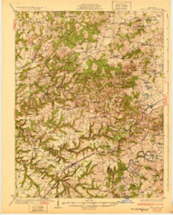
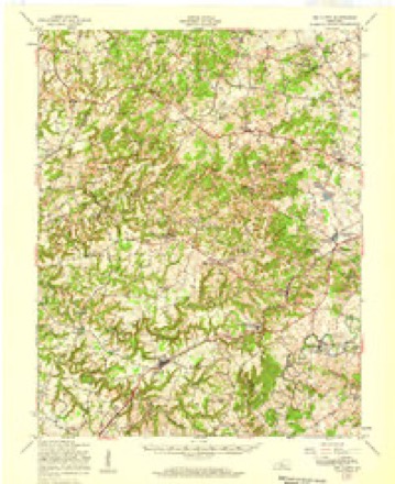
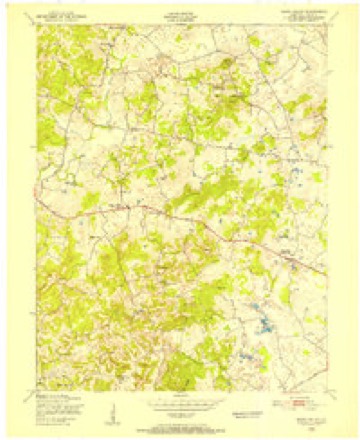
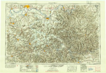
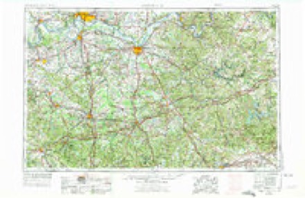
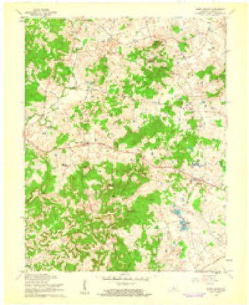
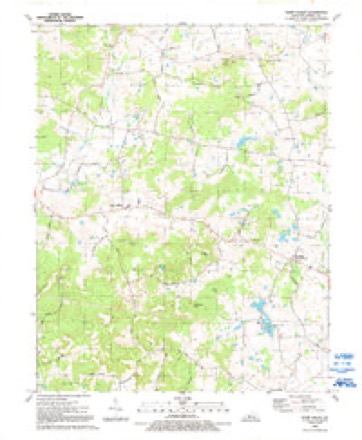
17 topographic sheets cover this place, the earliest surveyed in 1932 and the latest in 1991. It stands in the Radcliff census division. It lies in ZIP code area 40162. The Survey maps it on the Howe Valley quadrangle.
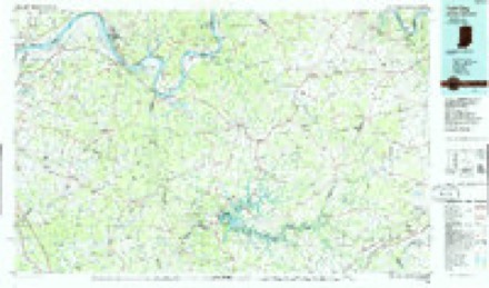
Topographic sheets covering this place
10 surveys from 17 printed sheetsMatched by testing this settlement's coordinate against the published boundary of every sheet in the United States Geological Survey's historical collection. Each opens the scanned sheet at the Survey.
- 1932 USGS Big Clifty quadrangle1:62500, 5 printings
- 1949 USGS Big Clifty quadrangle1:62500
- 1949 USGS Howe Valley quadrangle1:24000
- 1954 USGS Evansville quadrangle1:250000
- 1957 USGS Evansville quadrangle1:250000, 3 printings
- 1960 USGS Howe Valley quadrangle1:24000
- 1961 USGS Evansville quadrangle1:250000, 2 printings
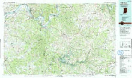
- 1986 USGS Tell City quadrangle1:100000
- 1991 USGS Howe Valley quadrangle1:24000
- 1991 USGS Tell City quadrangle1:100000
Fires near this place
20 since 2000Regional context, not property-specific evidence. The federal wildfire occurrence database lists 20 fires within 5 miles of Four Corners between 2000 and 2014, burning about 129 acres in total. None started naturally. None was recorded as arson. Distance is straight-line from the map coordinates, so a fire counted here may appear on a neighbouring settlement's page as well.
| Reported cause | Fires |
|---|---|
| Recreation and ceremony | 10 |
| Missing data/not specified/undetermined | 6 |
| Railroad operations and maintenance | 2 |
| Debris and open burning | 2 |
The most recent of them, most recent first, with the day each was reported and the service that recorded it.
| Date | Cause | Size | Reported by | Name on the report |
|---|---|---|---|---|
| 29 September 2010 | Recreation and ceremony | 1.0 acres | Kentucky Division of Forestry | SMALLWOOD RD. |
| 2 May 2001 | Debris and open burning | under an acre | Kentucky Division of Forestry | not named |
| 6 April 2013 | Recreation and ceremony | 4.0 acres | Kentucky Division of Forestry | ST. JOHNS FIRE |
| 2 April 2010 | Recreation and ceremony | 5.0 acres | Kentucky Division of Forestry | not named |
| 2 April 2009 | Recreation and ceremony | 2.0 acres | Kentucky Division of Forestry | not named |
| 16 April 2008 | Recreation and ceremony | 1.0 acres | Kentucky Division of Forestry | not named |
| 13 April 2014 | Recreation and ceremony | 12 acres | Kentucky Division of Forestry | SAINT JOHN'S |
| 8 March 2009 | Recreation and ceremony | 2.0 acres | Kentucky Division of Forestry | not named |
Settlements close enough to share some of these fires:
Storms near this place
6 since 2010Regional context, not property-specific evidence. The National Weather Service names Four Corners in 6 storm reports between 2010 and 2026: 2 tornado, 2 hail, 2 thunderstorm wind. No death or injury is recorded in these reports. Each account below is quoted exactly as the forecast office filed it, from the NOAA Storm Events Database, and each date opens the federal record of that event.
| When | Event | Place named | Harm | What the report says |
|---|---|---|---|---|
| May 2010 | Tornado (EF0) | North Four Corners | $10,000 | An NWS storm survey and interviews with residents confirmed a tornado touched down at approximately 828 PM EDT just west of Big Springs. A large barn suffered significant roof and wall damage resulting in the tornado to be rated EF-1 here with 85-90 mph winds. Additional damage to hardwood trees was noted along Highway 333 south. The tornado appeared to be skipping along the path at this time. The tornado lifted above the community of Big Springs, then touched down again along High Plains Road before lifting again. It then touched down again along Rineyville-Big Springs road in Harding county where it damaged a double wide mobile home. The damage at this location was consistent with EF-0 tornado damage with winds of 80-85 mph. |
| March 2026 | Thunderstorm Wind | North Four Corners | - | Radar data indicated a large area of strong inbound velocity along a path east of the couplet that caused the third tornado along that storm's path. Damage first was noted to an open small barn along Salt River Rd, just south of Four Corners. High resolution satellite imagery indicated a large incoherent patch of trees damaged just west of Salt River Rd south of Berrytown Rd. Additional trees were noted on ground survey damage along Salt River Rd just south of New Salem Church Rd. Another barn and silo were damaged near the intersection of Berrytown Rd and DeWitt Ln. Damage continued upstream along Rineyville Rd where a larger outdoor garage had its roof peeled off before the tornado entered into Meade County. |
| February 2024 | Hail | North Four Corners | - | This report came from mPing. |
| December 2021 | Thunderstorm Wind | North Four Corners | - | A few trees and power poles were down on Salt River Road. |
| December 2021 | Tornado (EF1) | North Four Corners | - | An EF-1 tornado touched down near Long Hollow Road and snapped or uprooted several trees which resulted in the road being blocked and powerlines coming down. The tornado continued to the northeast and did sporadic wind damage. It approached Rineyville-Big Springs Road where it hit a couple of farm buildings and resulted in wall and roof damage. The width of the tornado was fairly narrow as a nearby farm building was untouched/unharmed. The tornado continued to race off to the northeast and caused sporadic tree damage. The tornado eventually lifted in a heavily wooded area near the Cochran family farm. |
| May 2016 | Hail | North Four Corners | - | no account filed |
Nearest settlements
The eight closest, with where each one stands in the county. Distances are straight-line, computed from the Geographic Names Information System coordinates.
| Map | Place | Distance | Sheets |
|---|---|---|---|
| Perryville | 2.5 miles | 17 | |
| Howe Valley | 4.3 miles | 17 | |
| Vertrees | 4.4 miles | 18 | |
| Rineyville | 6.3 miles | 17 | |
| Kraft | 6.6 miles | 17 | |
| Franklin Cross Roads | 6.7 miles | 17 | |
| Vine Grove | 7.1 miles | 15 | |
| Saint John | 7.3 miles | 17 |
Provenance
This settlement is recorded in the Geographic Names Information System as feature 508027. The sheet list is computed by point-in-boundary test against the United States Geological Survey's historical topographic inventory. Both are works of the United States government and carry no copyright under 17 U.S.C. 105.
Wildfire. Short, Karen C. 2022. Spatial wildfire occurrence data for the United States, 1992-2020 [FPA_FOD_20221014]. 6th Edition. Fort Collins, CO: Forest Service Research Data Archive. https://doi.org/10.2737/RDS-2013-0009.6 Collected with United States Government funding and usable without additional permissions or fees.
Storms. NOAA National Centers for Environmental Information, Storm Events Database https://www.ncei.noaa.gov/stormevents/ A work of the United States government, no copyright under 17 U.S.C. 105. Narratives are quoted verbatim from the National Weather Service report and are not edited or summarised.