BlockBefore

Hardin County, Kentucky

104 topographic sheets and 11 fire insurance atlases across 2 places.

Research this county

From the record

89 National Register listings published here.

Sources: the county history on the Internet Archive · the National Register database, National Park Service

Kentucky within the United States
Hardin County within Kentucky

What the record shows

  • 2 places in this county were surveyed for fire insurance: Elizabethtown, West Point, between 1886 and 1942.
  • 11 fire insurance atlases survive for the county. Topographic coverage is national; fire insurance survey reached only incorporated places with something worth insuring.
  • 786 topographic sheet readings cover the county's settlements.
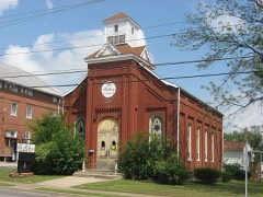
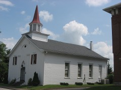
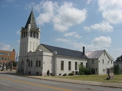
  • 89 properties here are on the National Register of Historic Places: 75 buildings, 11 districts, 2 sites and 1 structure.
  • 5 of the 89 listings were added during the 1970s.
  • The Geographic Names Information System records 51 populated places in this county; 51 are covered by at least one topographic sheet.

Photographs

39 photographs, 1935 to 2020

Taken for the Office of War Information and the Farm Security Administration, who photographed the country between 1935 and 1944. Works of United States government photographers, with no known restriction on use. Each opens its catalogue record.
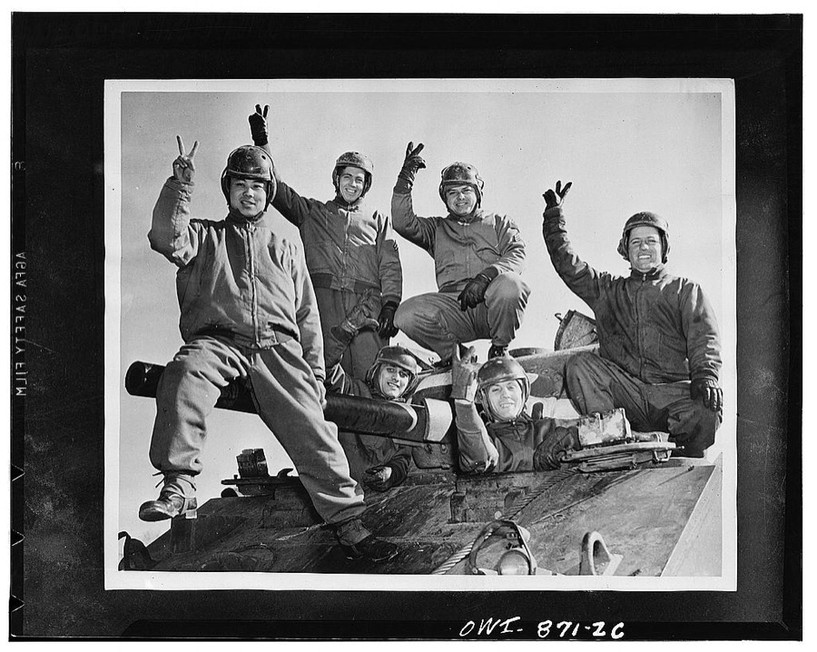
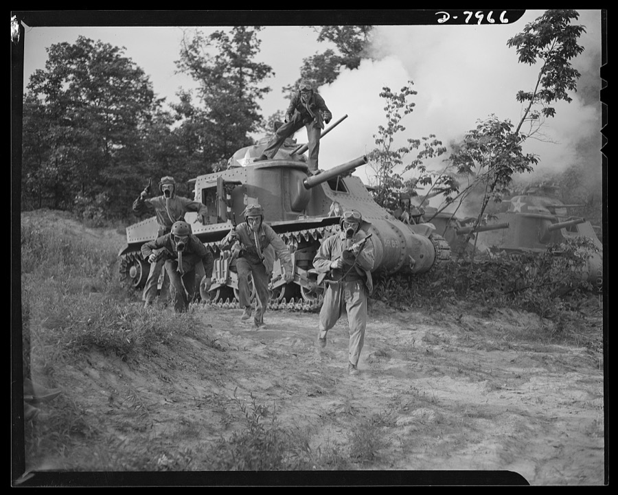
Fort Knox, Kentucky. Armoraiders symbolizing six nations atop a powerful medium tank: Private Richard Do Yee of China; Corporal Austin Chamberlain of England; Sergeant John Evans of Russia; Private Alexander Scourles, a revengeful Greek, and driver Henri de Charmont of the Fighting French. The tankman on the right is Private Johnny Smith of the United States
Photographer not recorded, 1942. Library of Congress
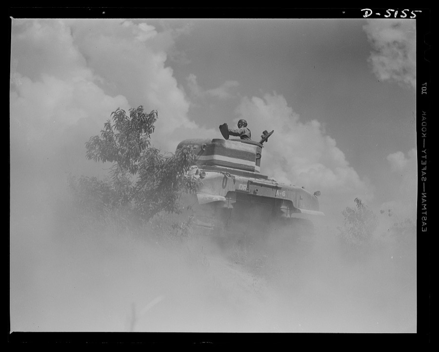
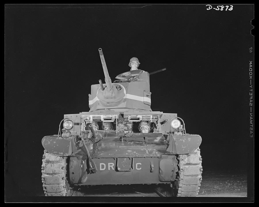
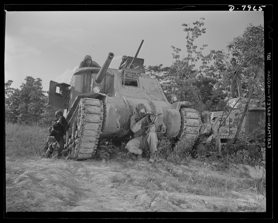
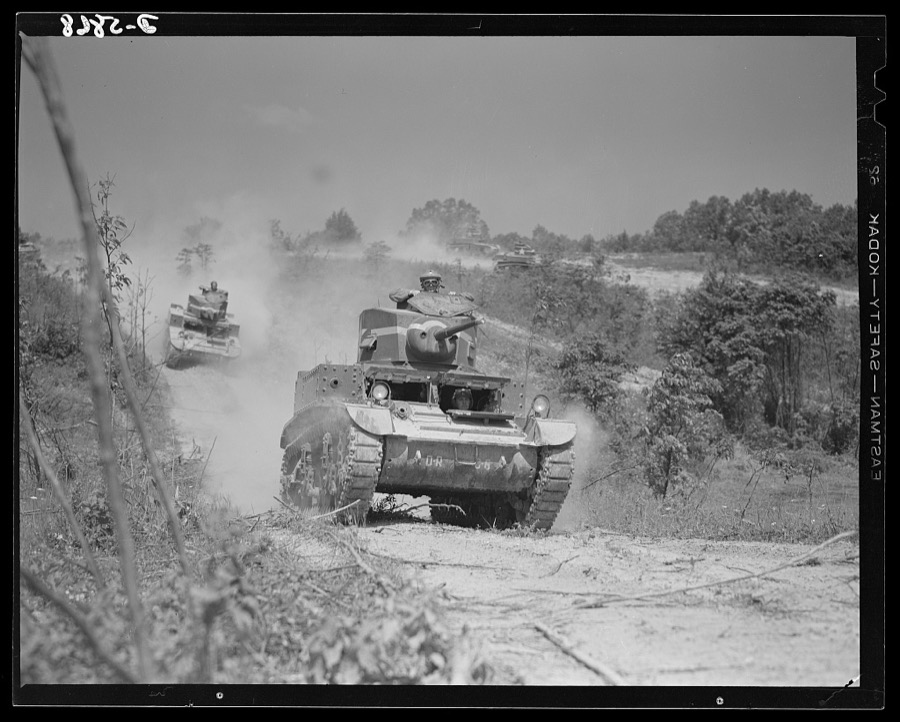
Fort Knox, Kentucky. Light tanks. The light tanks used at Fort Knox, Kentucky, for training and hardening crews for our armored forces, are graduating tough, competent "tankers" who will soon be giving the Axis some pointers on modern warfare
Palmer, Alfred T., photographer, 1942. Library of Congress
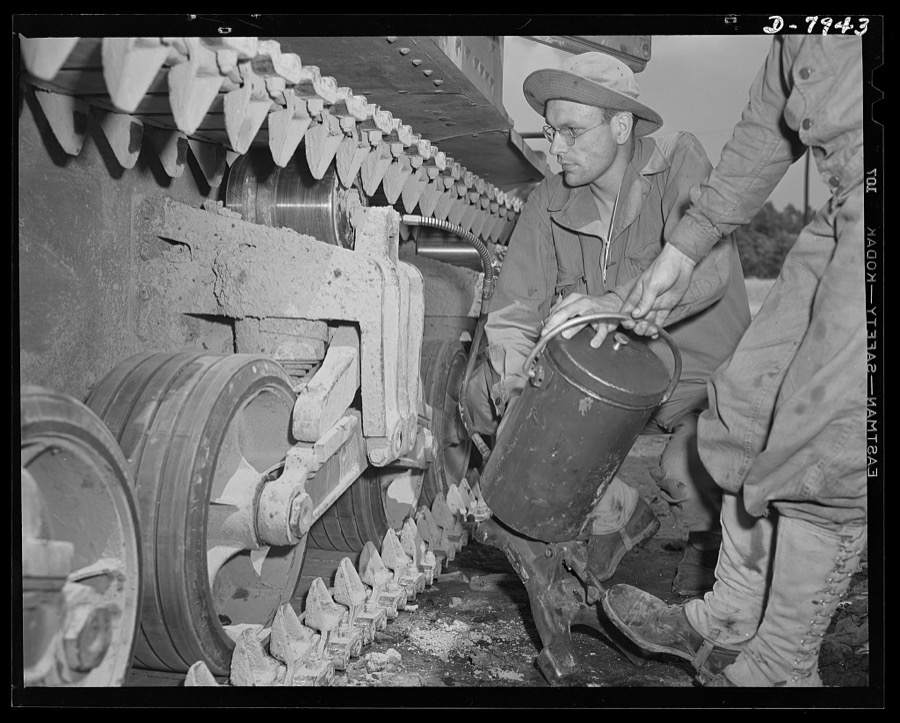
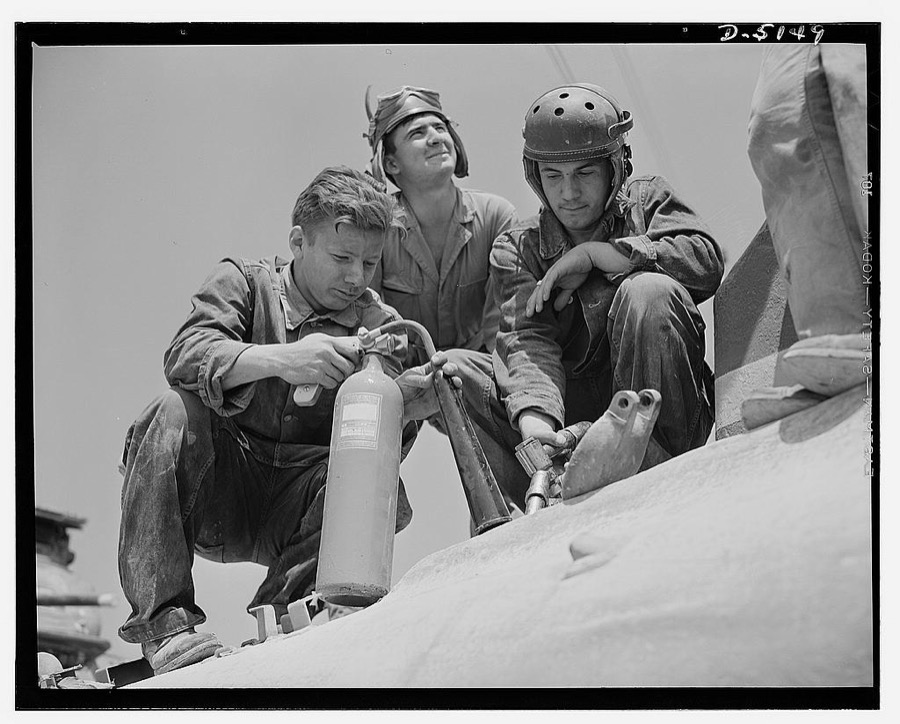
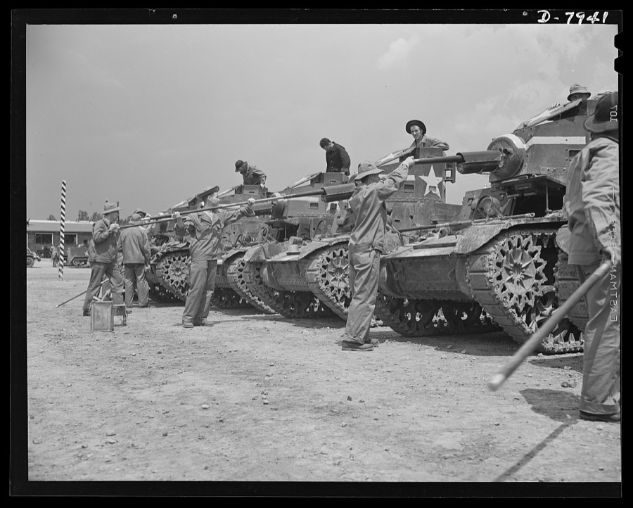
Fort Knox. Maintenance of mechanized equipment. Lubricating the bogie wheels of an M-3 tank at Fort Knox, Kentucky. The Army is very particular about its equipment and one of the first lessons the recruit learns is to give each vehicle the attention it requires
Palmer, Alfred T., photographer, 1942. Library of Congress
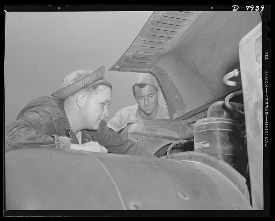
Fort Knox. Maintenance of mechanized equipment. Army trucks and other vehicles at Fort Knox, Kentucky, are checked thoroughly, and at regular intervals. Wherever possible, motorized military equipment is maintained in constant tip top shape, instantly ready for strenuous action
Palmer, Alfred T., photographer, 1942. Library of Congress
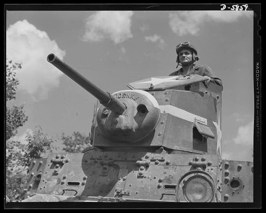
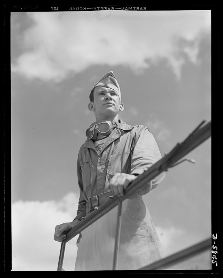
Fort Knox, Kentucky. Light tanks. The Axis is not going to like the American fighting men it will soon be meeting on the battlefronts of the world. A good example of a man becoming unpopular in Japanese circles is this hardened "tanker," in training with light equipment at Fort Knox, Kentucky
Palmer, Alfred T., photographer, 1942. Library of Congress
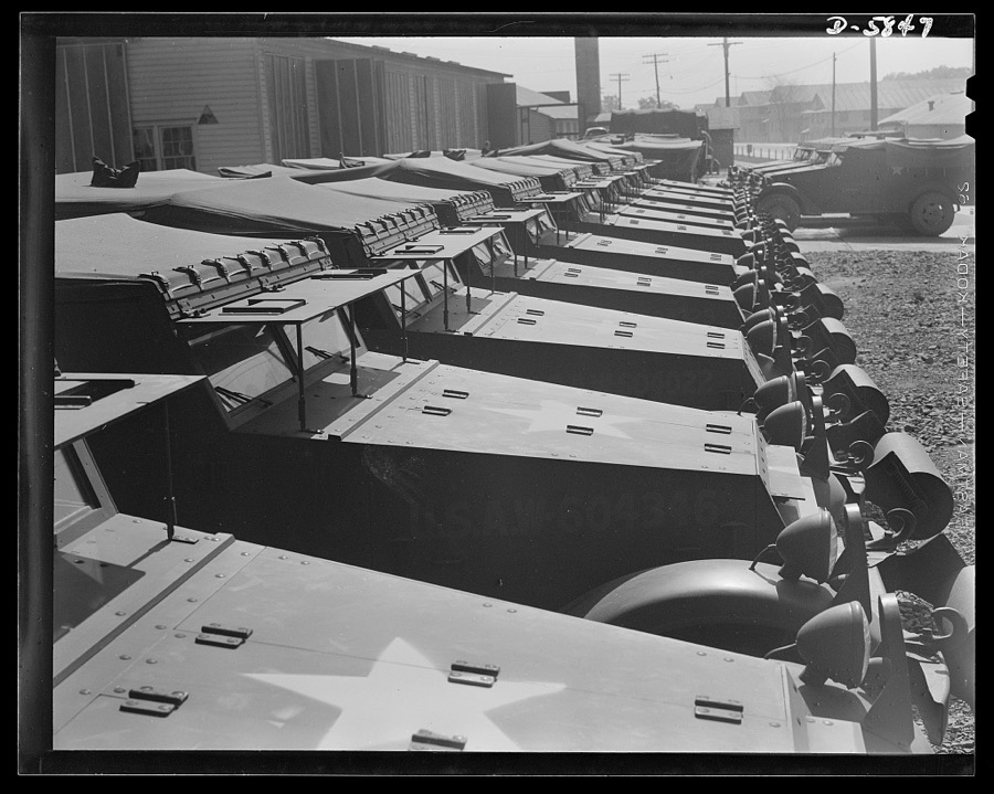
Fort Knox, Kentucky. Scout cars. "All present and correct." Scout cars, in which soldiers of the armored forces are training, lined up for inspection at Fort Knox, Kentucky
Palmer, Alfred T., photographer, 1942. Library of Congress
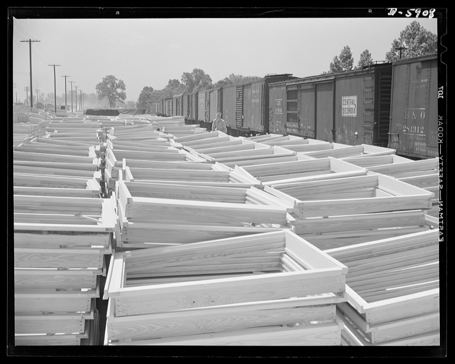
Fort Knox. Army cantonment construction. Window frames at a siding near Fort Knox, Kentucky. These will be used in the building of barracks and other structures needed by the Army in the training of soldiers for combat duty
Palmer, Alfred T., photographer, 1942. Library of Congress
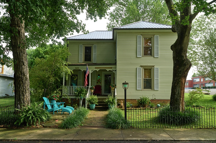
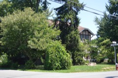
Genteel home in tiny Glendale, Kentucky, a somewhat unchanged town full of late-19th and early-20th Century homes and small businesses
Highsmith, Carol M, 2020. Library of Congress
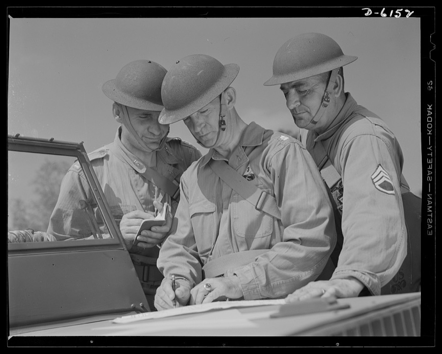
Fort Knox. Armored force personnel. A captain, a lieutenant-colonel and a staff sergeant of the armored forces discuss tactical problems during war games at Fort Knox, Kentucky, where soldiers in training are learning the most up-to-date methods of fighting a mechanized war
Palmer, Alfred T., photographer, 1942. Library of Congress
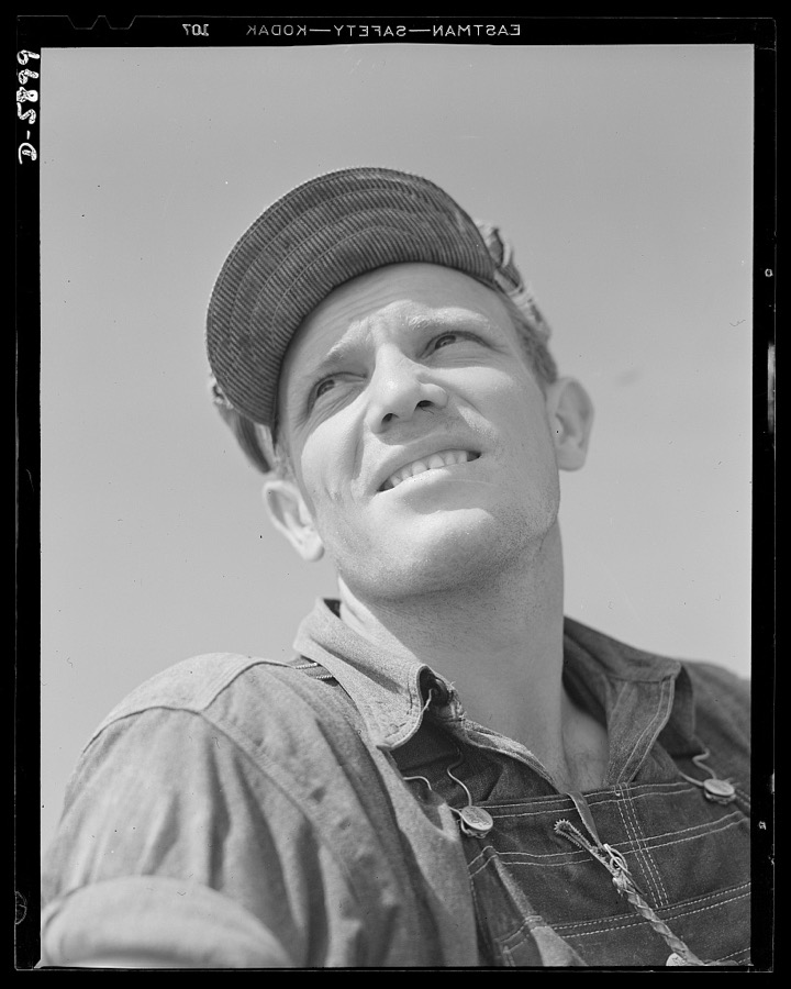
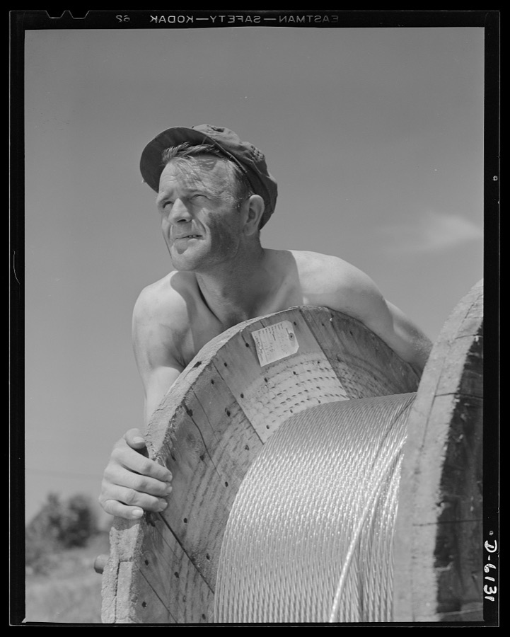
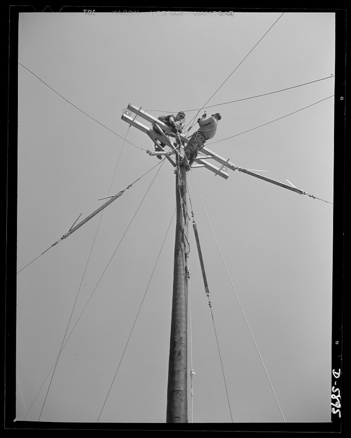
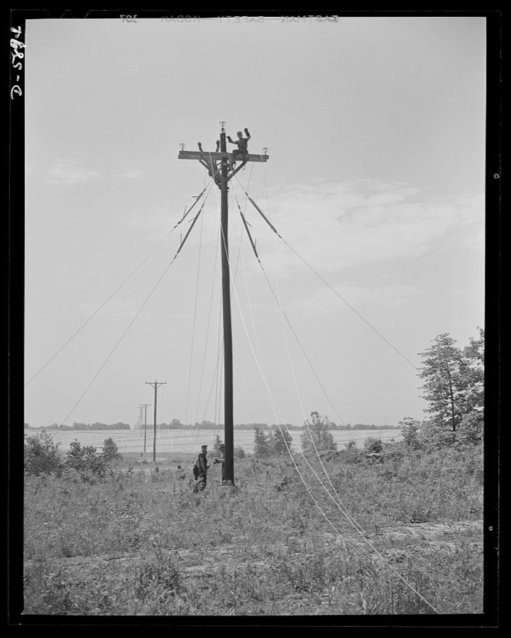
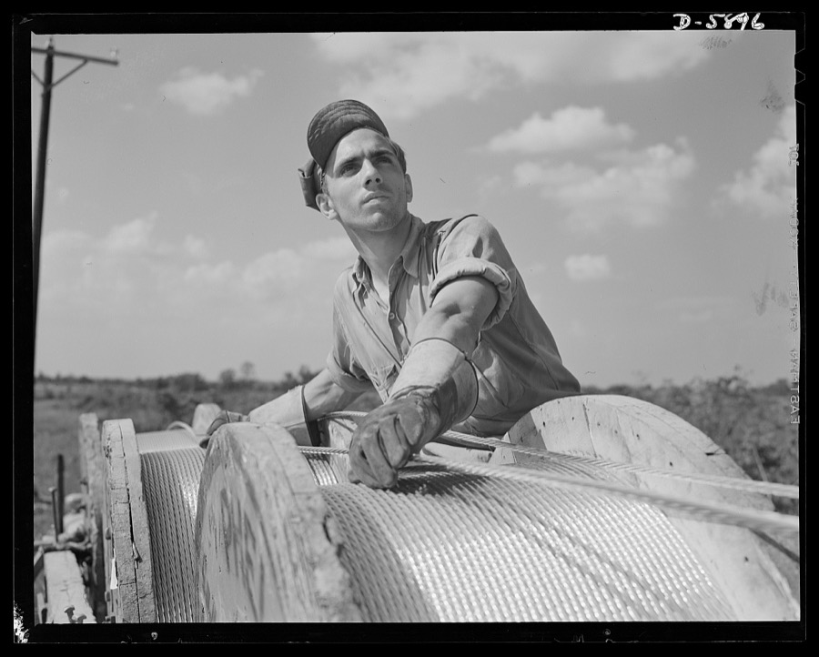
Fort Knox. Electric power line construction. The electrical industry of America relies largely on the "broadback" or lineman, to bring its power to the places where it is needed. This man is working on the construction of a transmission line to Fort Knox, Kentucky, where American soldiers are training for the battles of democracy
Palmer, Alfred T., photographer, 1942. Library of Congress
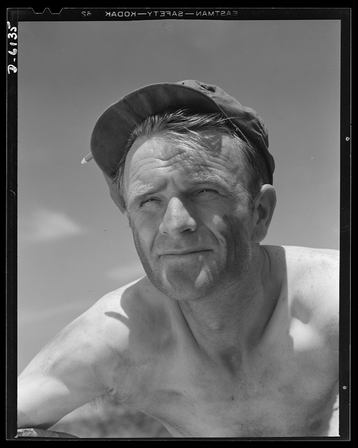
Fort Knox. Power line construction. This husky member of a construction crew, building a new 33,000 volt electric power line into Fort Knox, Kentucky, is performing an important war service. Thousands of soldiers are in training at Fort Knox, and the new line from a hydroelectric plant at Louisville is needed to supplement the existing power supply
Palmer, Alfred T., photographer, 1942. Library of Congress
Fort Knox. Power line construction. This husky member of a construction crew, building a new 33,000-volt electric power line into Fort Knox, Kentucky, is performing an important war service. Thousands of soldiers are in training at Fort Knox, and the new line from a hydroelectric plant at Louisville is needed to supplement the existing power supply
Palmer, Alfred T., photographer, 1942. Library of Congress
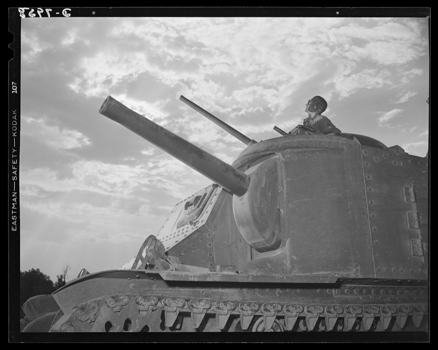
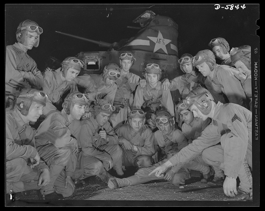
Fort Knox. M-3 tank crews. The crew of an M-3 tank at Fort Knox, Kentucky, learn all the ways of causing trouble for the Axis with a 75mm gun, a 37mm gun and four machine guns. The Fort Knox school for tank crews has graduated many men who are now ready to meet the enemy on our far-flung battle lines and on more than equal terms
Palmer, Alfred T., photographer, 1942. Library of Congress
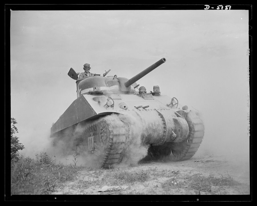
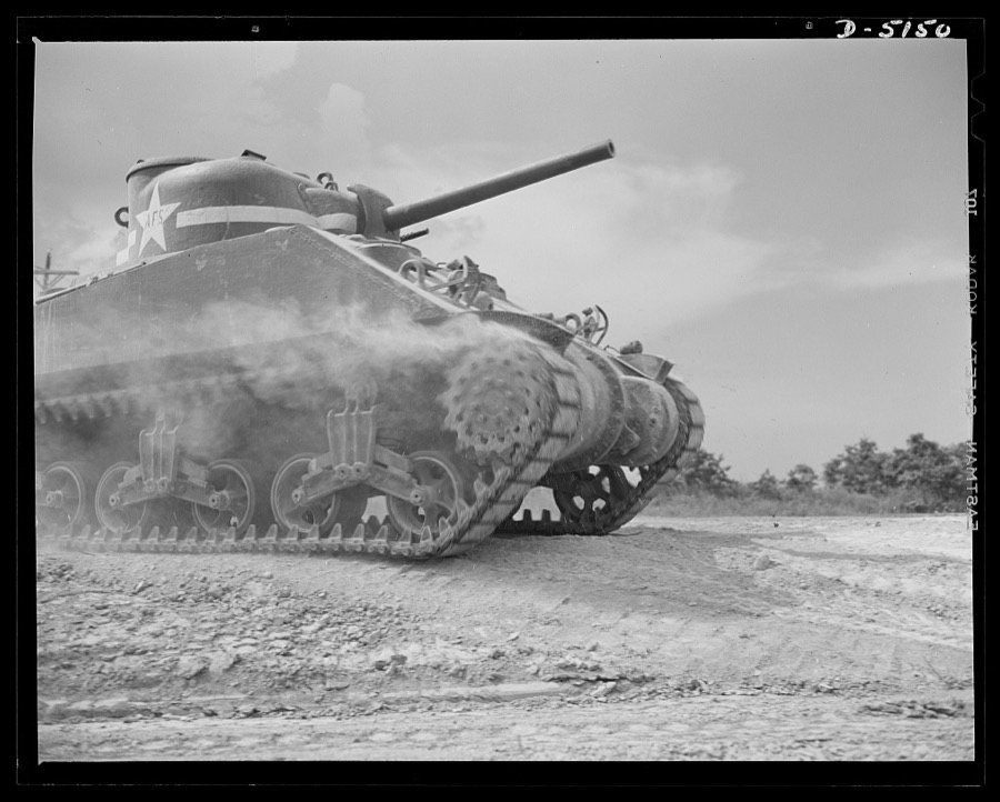
In the massive cast-steel hull of this M-4 tank, a crew of hard-bitten "tankers" is rehearsing a few fighting tricks at a training school of the armored forces at Fort Knox, Kentucky
Palmer, Alfred T., photographer, 1942. Library of Congress
Fort Knox, Kentucky. Armored force personnel. "Tankers," as crewmen of the tank corps are called. These capable soldiers are just finishing advanced courses in armored force operations at Fort Knox, Kentucky
Palmer, Alfred T., photographer, 1942. Library of Congress
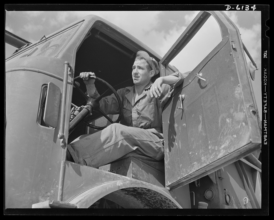
Fort Knox. Bridge construction trucks. Driver of a special bridge truck used by engineer units attached to the armored forces. Equipped with winches and crane members, these trucks make short work of transporting treadway bridge sections and laying them on pontoons. This particular truck is in use at Fort Knox, Kentucky, where soldiers are being trained in the use of armored equipment
Palmer, Alfred T., photographer, 1942. Library of Congress
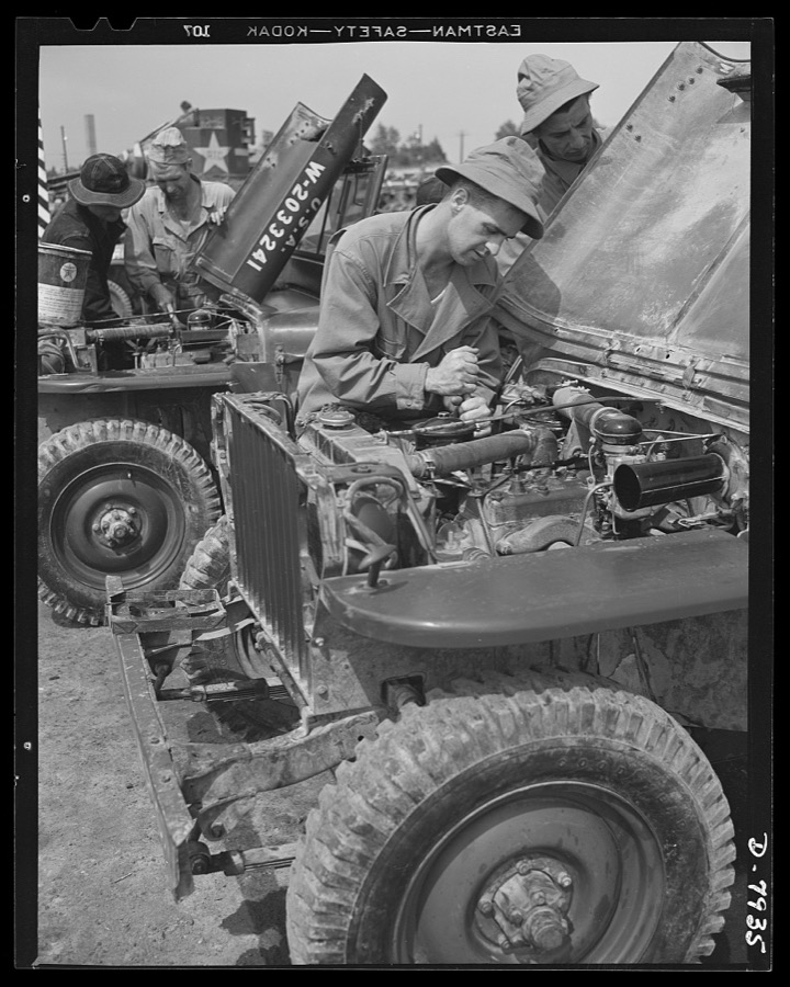
Fort Knox. Maintenance of mechanized equipment. Mechanics at Fort Knox, Kentucky, check jeeps and other motor vehicles thoroughly and at regular intervals. Attention that was once given to the Army mule of days gone by now falls to the tough little "blitz buggy" or our modern mechanized forces
Palmer, Alfred T., photographer, 1942. Library of Congress
One of Uncle Sam's new M-4 tanks is fueled for a training cruise at Fort Knox, Kentucky, where men of the armored forces are developed into hard-bitten "tankers"
Palmer, Alfred T., photographer, 1942. Library of Congress
Fort Knox. M-3 tank crews. M-3 tank crew members, in training at Fort Knox, Kentucky, get intensive practice in meeting every situation that may arise on the battlefield. The Fort Knox school for tank crews has graduated many men who are now ready to meet the Axis on our far-flung battle lines and on more than equal terms
Palmer, Alfred T., photographer, 1942. Library of Congress
Fort Knox, Kentucky. Light tanks. The Axis is not going to like the American fighting men it will soon be meeting on the battlefronts of the world. A good example of a man becoming unpopular in Japanese circles is this hardened "tanker," in training with light equipment at Fort Knox, Kentucky
Palmer, Alfred T., photographer, 1942. Library of Congress
Fort Knox. Electric power line construction. Linemen, the "broadbacks" of the electrical industry, extend a new power line to Fort Knox, Kentucky, where American soldiers are training and hardening for the battles of democracy
Palmer, Alfred T., photographer, 1942. Library of Congress
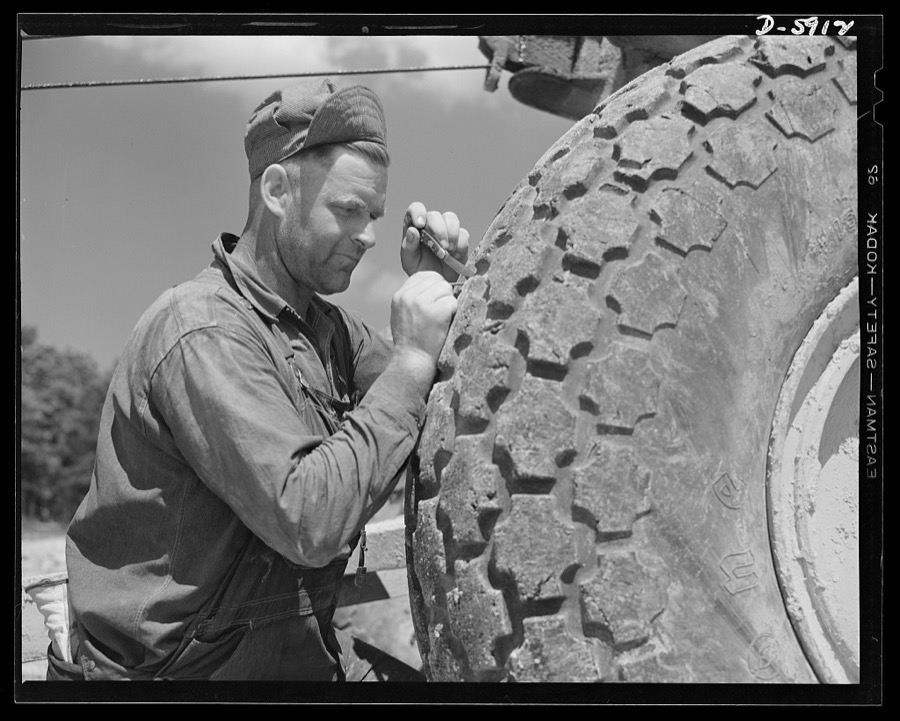
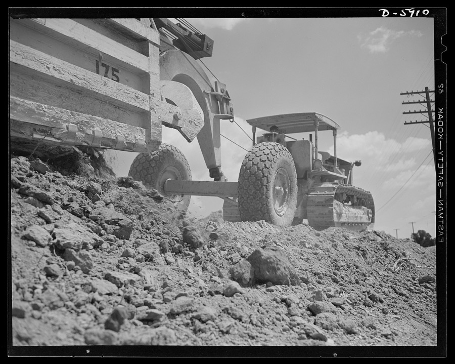
Fort Knox. Earth moving equipment. The big "shoes" of a carryall scraper, working on a new access road at Fort Knox, Kentucky, are given the best of care. A mechanic removes nails and bits of glass and metal from a costly tire that must give many more miles of service
Palmer, Alfred T., photographer, 1942. Library of Congress
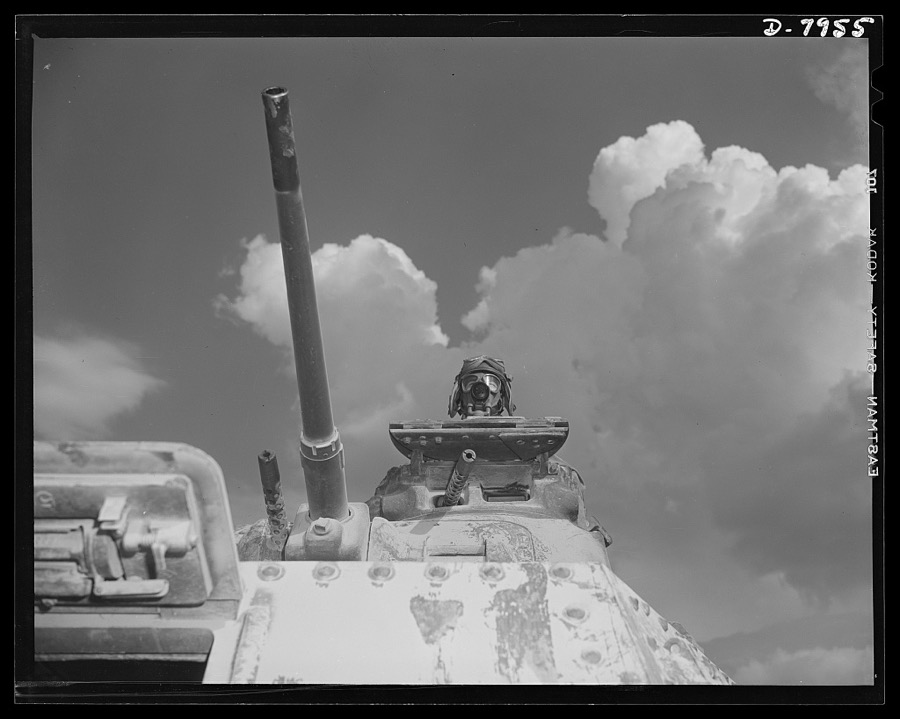
Fort Knox. M-4 tanks and crews. A new member of our armored forces, an M-4 tank meets an older M-3 at a fueling point at Fort Knox, Kentucky. With its superior construction and increased firepower, the M-4 (shown at the left) is very popular with the hard-bitten "tankers" who man it
Palmer, Alfred T., photographer, 1942. Library of Congress
Fort Knox, Kentucky. Armored force personnel. The armored forces get a good type of soldier. This capable looking lieutenant, in training with his men at Fort Knox, Kentucky, is just finishing a course that will make him quite a problem for the Axis
Palmer, Alfred T., photographer, 1942. Library of Congress
Fort Knox, Kentucky. Light tanks. Tough soldiers all. The men of this light tank crew, in training near Fort Knox, Kentucky, are getting the experience and the hardening needed to break the Axis
Palmer, Alfred T., photographer, 1942. Library of Congress
Fort Knox, Kentucky. Light tanks. The Axis is not going to like the American fighting men it will soon be meeting on the battlefronts of the world. Good example of a man becoming unpopular in Japanese circles is this hardened "tanker," in training with light equipment at Fort Knox, Kentucky
Palmer, Alfred T., photographer, 1942. Library of Congress
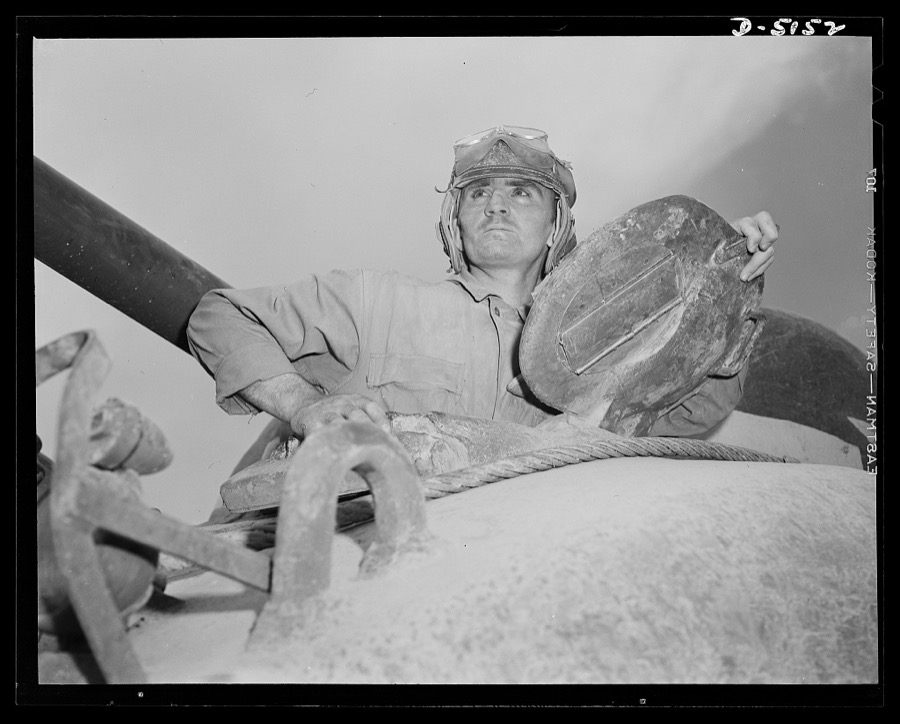
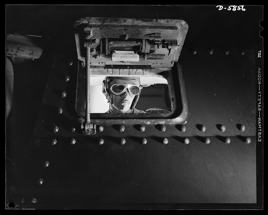
Fort Knox. M-4 tanks and crews. A hard-boiled "tanker" looks things over from one of the hatches of an M-4 tank. This man, with thousands of others, is brushing up on the latest tank-fighting technique at Fort Knox
Palmer, Alfred T., photographer, 1942. Library of Congress
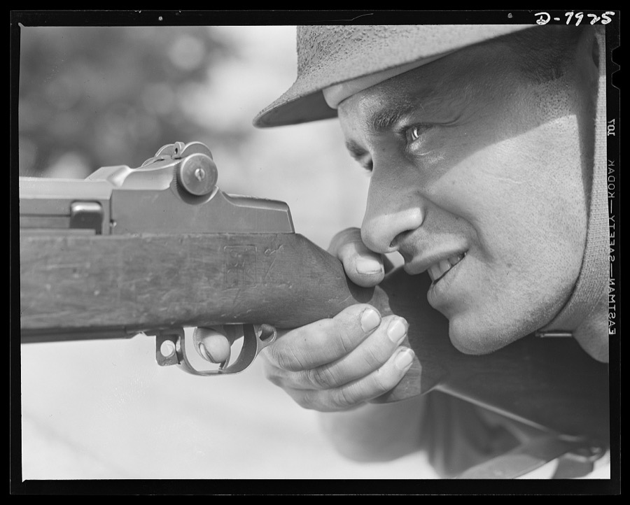
Fort Knox. Garand rifle. An American "ace in the hole" in this global war is our ability to furnish an unbearable combination of good men and good weapon. This infantry man, in training a Fort Knox, Kentucky, has learned that his M-1 (Garand) rifle is a weapon without peer. He can be depended on to perform notable with it
Palmer, Alfred T., photographer, 1942. Library of Congress
Fort Knox. Maintenance of mechanized equipment. Soldiers in training at Fort Knox, Kentucky, clean the guns of their light tanks. The Army is very particular about its weapons and other equipment, and one of the first lessons the recruits learned is to give them the attention they require
Palmer, Alfred T., photographer, 1942. Library of Congress
Fort Knox. Electric power line construction. Linemen, the "broadbacks" of the electrical industry, extend a new power line to Fort Knox, Kentucky, where American soldiers are training and hardening for the battles of democracy
Palmer, Alfred T., photographer, 1942. Library of Congress
Fort Knox. M-3 tank crews. M-3 tank crew members, in training at Fort Knox, Kentucky, get intensive practice in meeting every situation that may arise on the battlefield. The Fort Knox school for tank crews has graduated many men who are now ready to meet the Axis on our far-flung battle lines and on more than equal terms
Palmer, Alfred T., photographer, 1942. Library of Congress
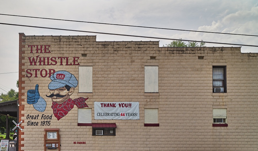
Sign for the Whistle Stop Cafe, just around the corner from the railroad tracks in tiny Glendale, Kentucky, a somewhat unchanged town full of late-19th and early-20th Century homes and small businesses
Highsmith, Carol M, 2020. Library of Congress
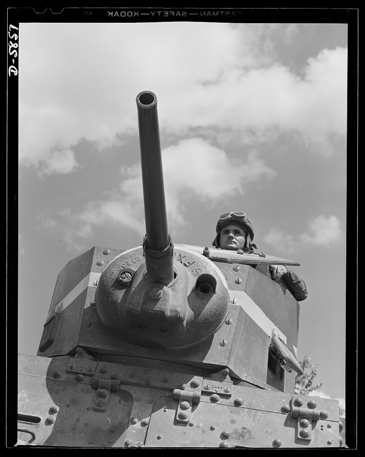
Fort Knox, Kentucky. M-3 tanks. A hard-boiled American "tanker" in an M-3 tank means a lot of bad luck for the Axis. He's training now at Fort Knox, Kentucky. Some time soon he'll be the cause of plenty of headaches for Hitler, Hirohito and Mussolini
Palmer, Alfred T., photographer, 1942. Library of Congress
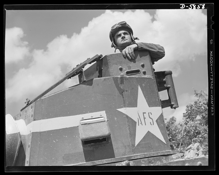
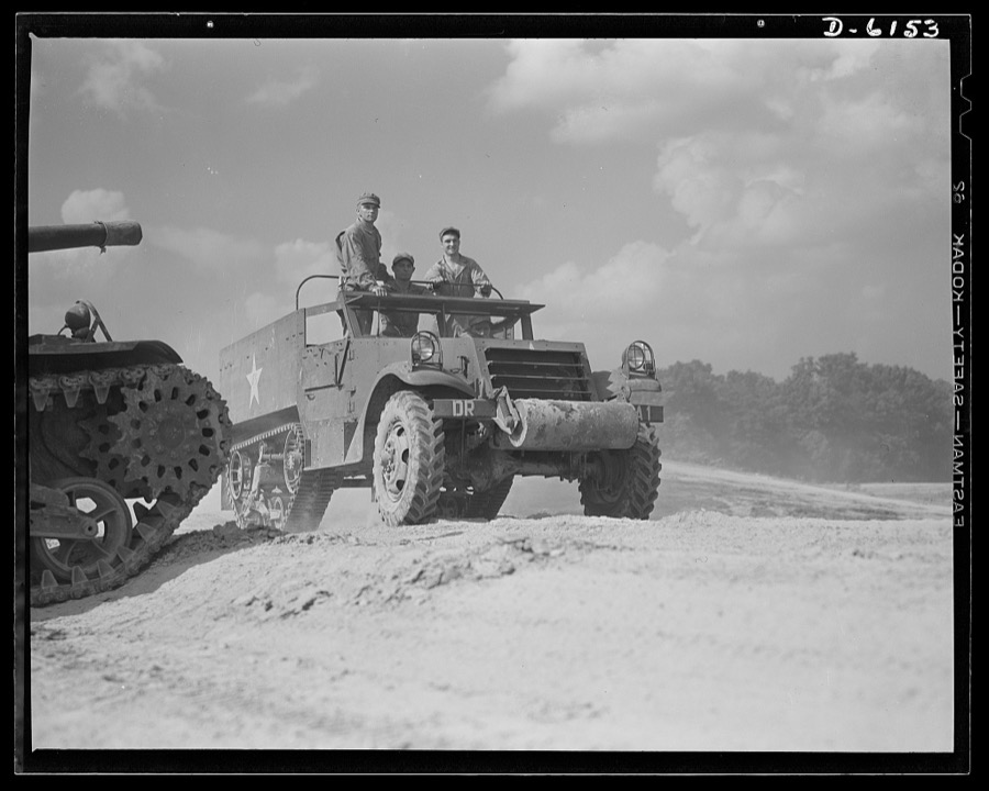
Fort Knox. Halftrac armored cars. The halftrac armored car has many important duties in our modern mechanized army. It is very useful as a carrier of men and equipment, and may be armed in various ways to give it great striking power. This car, in use at Fort Knox, Kentucky, by soldiers of the armored forces, is capable of rapid travel over difficult terrain
Palmer, Alfred T., photographer, 1942. Library of Congress
Fort Knox. M-3 tank crews. A good type of soldier mans the M-3 tanks at Fort Knox, Kentucky. The Fort Knox school for tank crews has graduated many men who are now ready to meet the Axis on our far-flung battle lines and on more than equal terms
Palmer, Alfred T., photographer, 1942. Library of Congress
Fort Knox. Earth moving equipment. A huge carryall scraper and a powerful tractor work on a cut-and-fill job as a new access road is built at Fort Knox, Kentucky
Palmer, Alfred T., photographer, 1942. Library of Congress
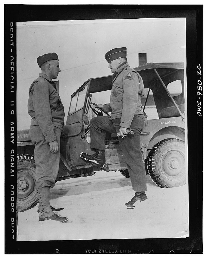
Fort Knox, Kentucky. Every record of the classification section of the Armored Force Replacement Training Center tumbled when Private Preston G. Redd, of 4829-Fourth Avenue, Los Angeles, scored 159 on the general intelligence test out of the yet unattained 160 maximum possible. He also scored 141 in mechanical aptitude, 125 in radio aptitude, and 165 in clerical aptitude. He is approaching his 19th birthday, and when inducted was a pre-medical student. He is being welcomed into the Armored by Brigadier General Henry C. Newton
Photographer not recorded, 1935. Library of Congress
Fort Knox. Electric power line construction. The electrical industry of America relies largely on the "broadback" or lineman, to bring its power to the places where it is needed. This man is working on the construction of a transmission line to Fort Knox, Kentucky, where American soldiers are training for the battles of democracy
Palmer, Alfred T., photographer, 1942. Library of Congress
Fort Knox. M-4 tanks and crews. One of our new battleships of the land, a mighty M-4 tank that will disturb a lot of Axis plans. In the welded hulls of these massive machines are armament that ensures tremendous firepower in the hands of tough, resourceful "tankers." Location: Fort Knox, Kentucky
Palmer, Alfred T., photographer, 1942. Library of Congress

Places on the National Register

89

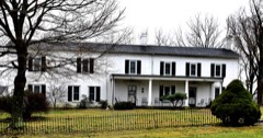
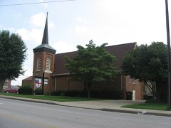
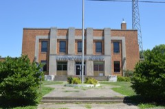
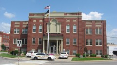
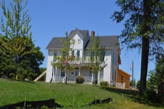
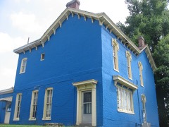
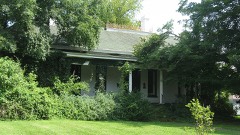
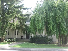
Every property in this county listed on the National Register of Historic Places, with the year it was listed and the federal nomination document.

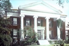
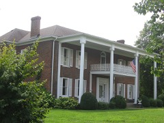
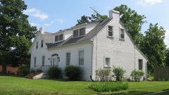
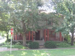
Photograph PropertyType ListedReference
Dr. Abel Housebuilding198888001768
Applegate-Fisher Housebuilding198888001787
Philip Arnold Housebuilding198888001798
Ashe Housebuilding198888001755
Bethlehem Academy Historic Districtdistrict198888001813
John D. Bland Housebuilding198888001729
William Bland Housebuilding198888001734
Bland-Overall Housebuilding198888001728
Blue Ball Churchbuilding198888001727
J. Roy Bond Housebuilding198888001811
Daniel Brackett Housebuilding198888001752
Brown Pusey House Community Centerbuilding197474000878
William Bush Housebuilding198888001807
Dr. Clyde Carroll Housebuilding198888001764
Chenault Housebuilding198888001781
Chestnut Grovebuilding198888001731
Christ Episcopal Churchbuilding198888001792
Abraham Ditto Housebuilding198888001789
Ditto-Prewitt Housebuilding198888001786
Elizabethtown Armorybuilding200202000921
Elizabethtown City Cemeterysite199797000872
Elizabethtown Courthouse Square and Commercial Districtdistrict198080001535
Embry Chapel Churchbuilding198888001803
First Baptist Churchbuilding197474000879
First Presbyterian Churchbuilding198888001802
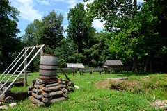
Fort Duffieldsite199493001584
Fort Sandsdistrict199494001379
Glendale Historic Districtdistrict198888001816
Hagan Housebuilding198888001760
Hance Hamilton Housebuilding198888001741
Hardin Springs Schoolbuilding198888001783
Hatfield Hotelbuilding198888001763
Haycraft Innbuilding198888001742
Hazel Hilldistrict198888001744
Heller Hotelbuilding198888001756
Helm Placebuilding197676000895
Benjamin Helm Housebuilding198888001801
John B. Helm Housebuilding198888001800
Jonathan Hills Housebuilding200909001139
Kentucky and Indiana Bankbuilding198888001788
W. T. Kerrick Housebuilding198888001808
Larue-Layman Housebuilding198888001794
Lincoln Heritage Housebuilding197373000805
Louisville-Nashville Turnpike Segmentstructure199696000790
Maple Hillbuilding198888001735
Maplehurstbuilding198888001732
Haynes Mason Housebuilding198888001782
David L. May Housebuilding198888001805
Stiles McDougal Housebuilding198888001740
McKinney-Helm Housebuilding198888001795
Melton Housebuilding198888001769
Adam Monin Housebuilding198888001745
Montgomery Avenue Historic Districtdistrict198888001814
William Montgomery Housebuilding198888001806
Morrison Lodgebuilding198888001804
Nall Housebuilding198888001784
Nolin Banking Companybuilding198888001749
Penniston Housebuilding198888001785
Josiah Phillips Housedistrict198888001747
Dr. Robert B. Pusey Housebuilding198988001793
John Raine Housebuilding198888001748
Stephen Rawlings Housebuilding198888001791
Richards-Hamm Housebuilding198888001766
Richards-Murray Housedistrict198888001767
Richardson Hotelbuilding198888001762
Zachariah Riney Housebuilding198888001758
Samuel Robertson Housebuilding198888001812
Richard Skees Housebuilding198888001780
William Skees Housebuilding198888001757
George W. Smith Housebuilding198888001738
William Sprigg Housebuilding198988001736
Stader Hoteldistrict198888001751
Stark Housebuilding198888001725
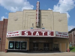
State Theatrebuilding199898001492
John Stuart Housebuilding198888001765
Samuel B. Thomas Housebuilding198888001797
William Tichenor Housebuilding198888001753
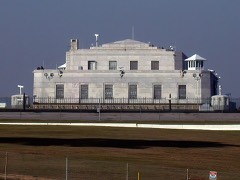
Fort Knox US Bullion Depository Kentuckybuilding198888000056
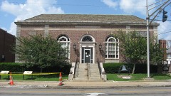
US Post Office-Elizabethtownbuilding198888001810
Jacob Van Meter Housebuilding198888001746
Eliza Vertrees Housebuilding198888001809
Vine Grove Historic Districtdistrict198888001815
West Point Historic Districtdistrict199696001344
West Point Hotelbuilding198888001790
White Millbuilding198888001761
William Wilson Housebuilding198888001799
Horatio Wintersmith Housebuilding198888001796
George Woodard Housebuilding200302001467
James Young House and Innbuilding197878001336

Photographs from libraries nationwide

13 of 15 shown

Selected from the Digital Public Library of America's 15 image records catalogued for this county. Every one shown here carries a public-domain status or a licence that permits reuse on a site that carries advertising; non-commercial, share-alike and restricted images are excluded. The selection is spread across the county's towns (at most eight per town), so no single institution's bulk upload crowds out the rest. Each opens the holding library's record, and the complete set at the Digital Public Library of America is one click away.

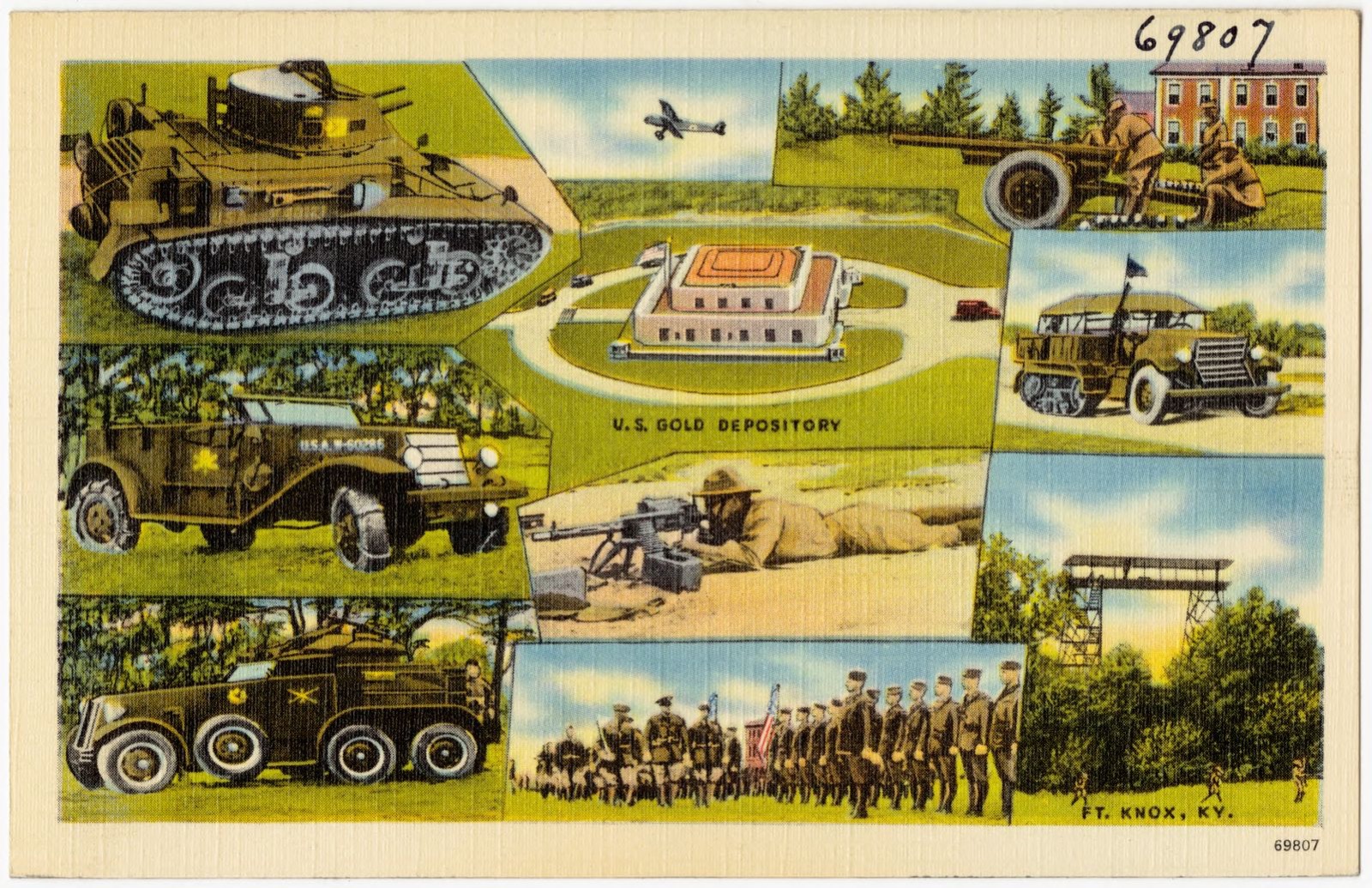
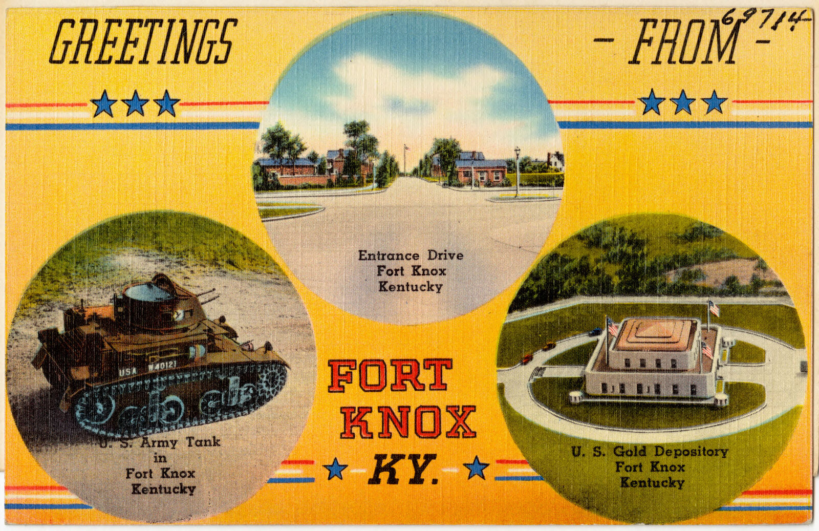
U. S. Gold Depository, Ft. Knox, KY., Boston Public Library - undated
U. S. Gold Depository, Ft. Knox, KY.. Boston Public Library, via the Digital Public Library of America.
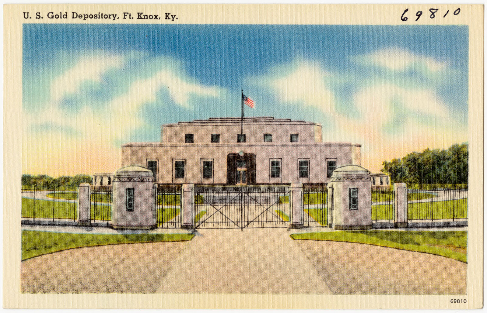
U. S. Gold Depository, Ft. Knox, KY., Boston Public Library - undated
U. S. Gold Depository, Ft. Knox, KY.. Boston Public Library, via the Digital Public Library of America.
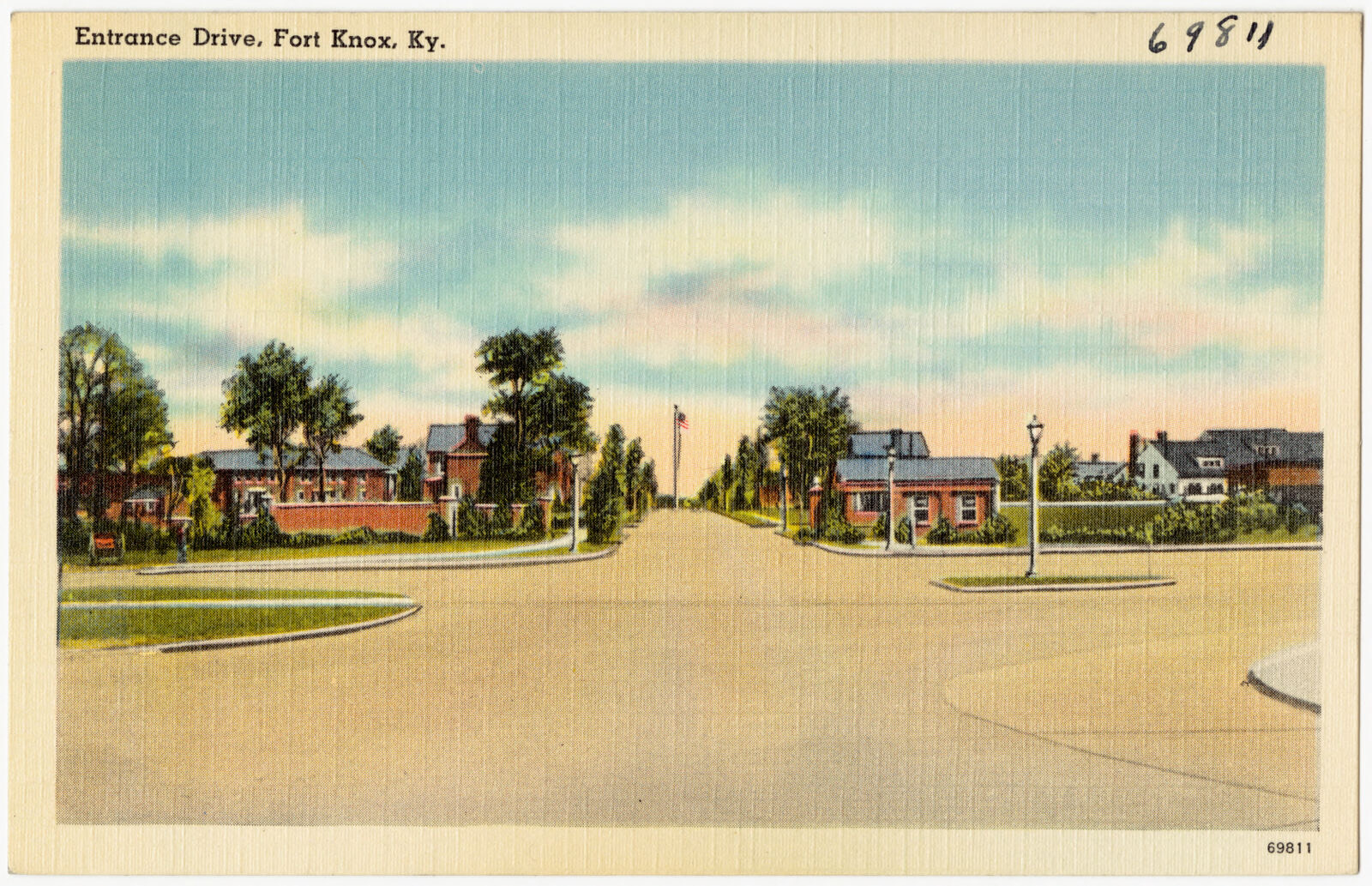
Entrance Drive, Fort Knox, Ky., Boston Public Library - undated
Entrance Drive, Fort Knox, Ky.. Boston Public Library, via the Digital Public Library of America.
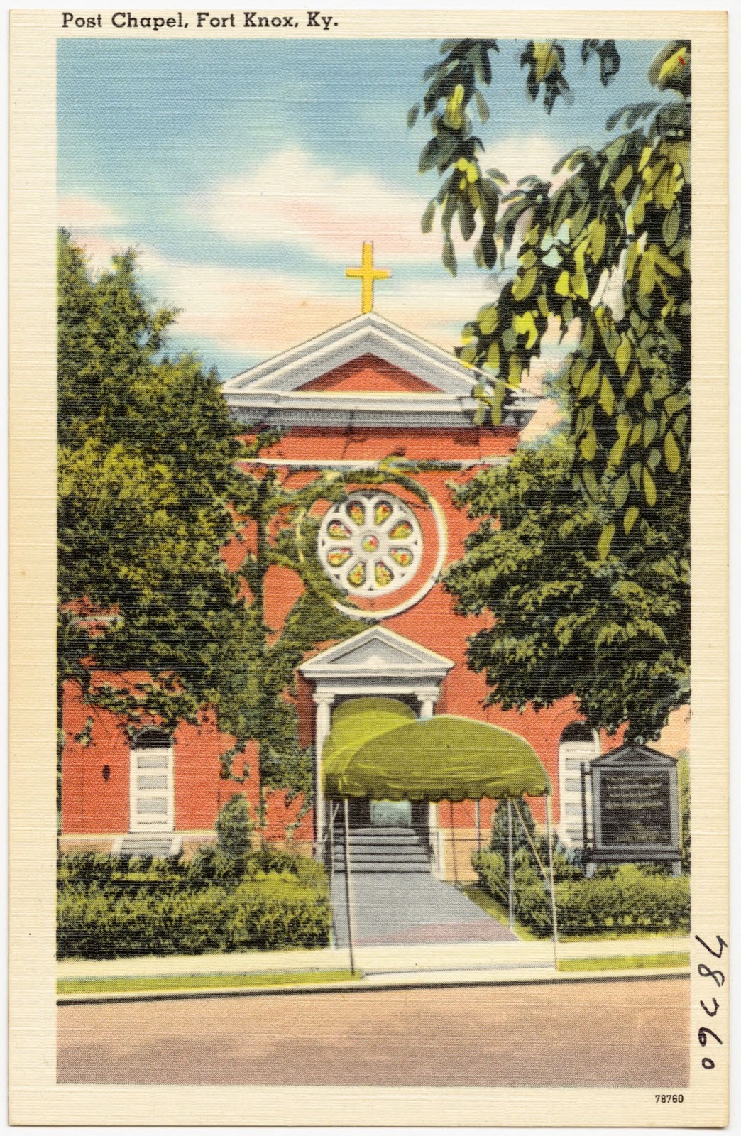
Post Chapel, Fort Knox, Ky., Boston Public Library - undated
Post Chapel, Fort Knox, Ky.. Boston Public Library, via the Digital Public Library of America.
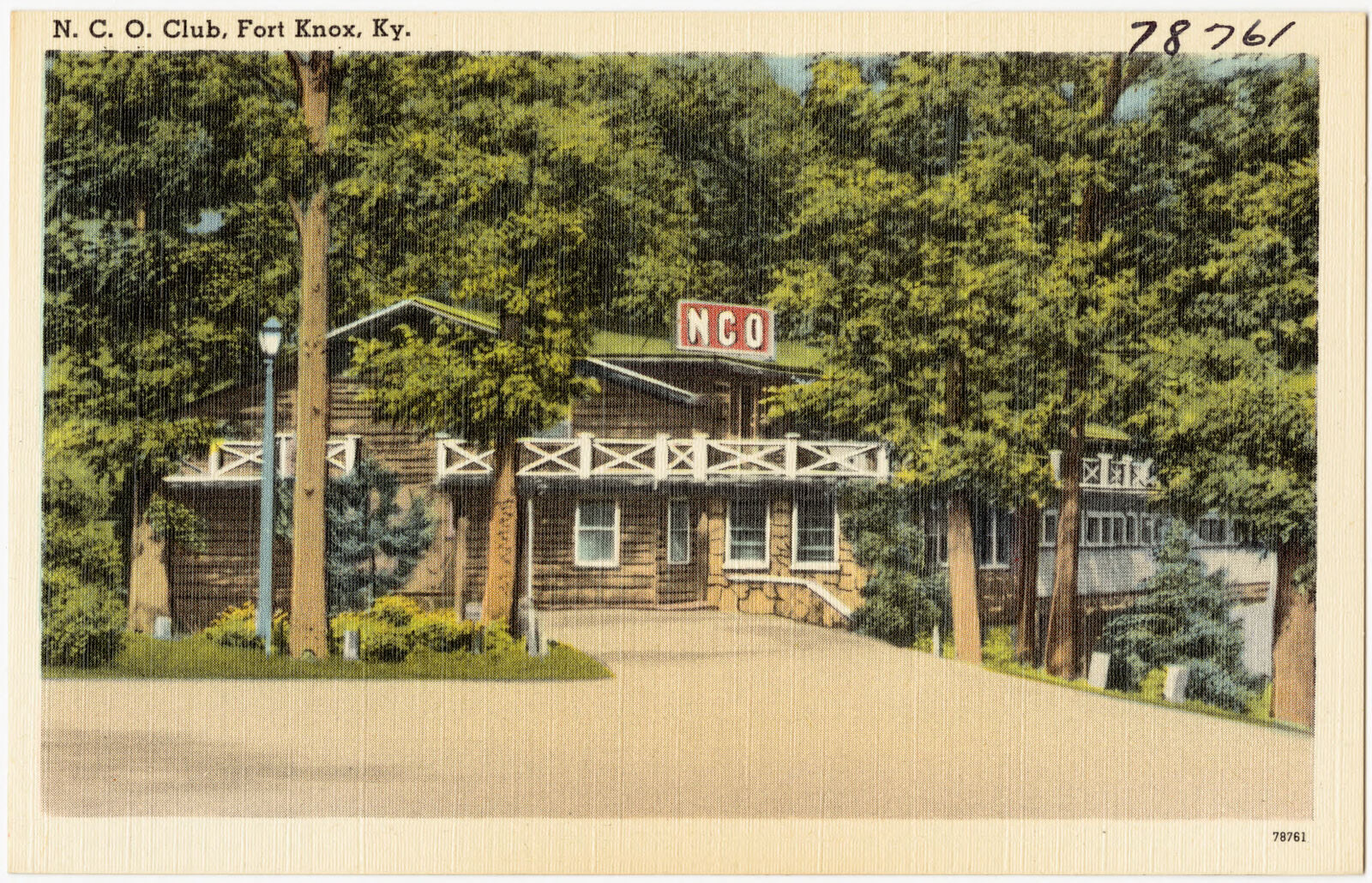
N. C. O. Club, Fort Knox, Ky., Boston Public Library - undated
N. C. O. Club, Fort Knox, Ky.. Boston Public Library, via the Digital Public Library of America.
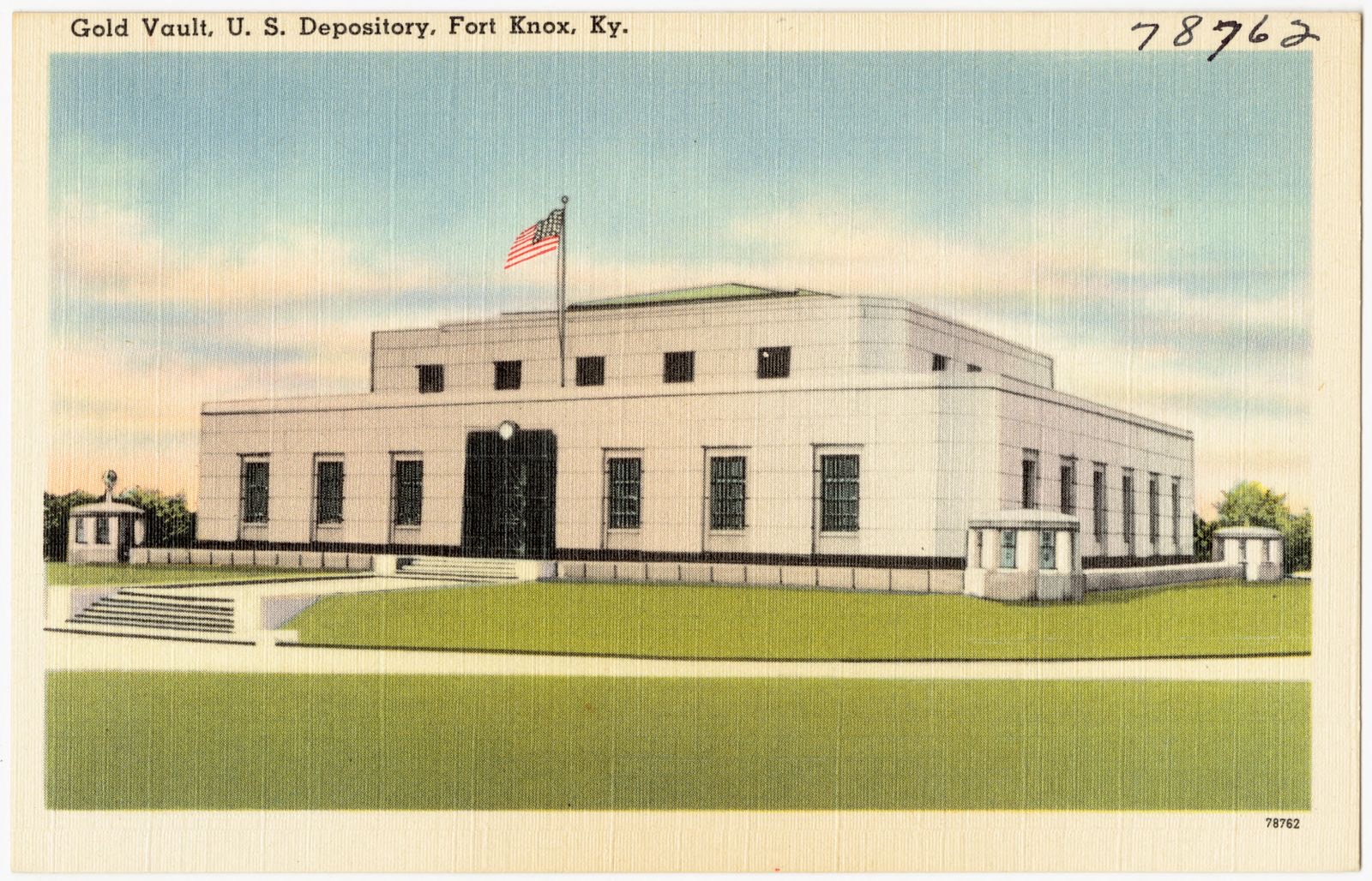
Gold Vault, U. S. Depository, Fort Knox, Ky., Boston Public Library - undated
Gold Vault, U. S. Depository, Fort Knox, Ky.. Boston Public Library, via the Digital Public Library of America.
Greetings from Fort Knox, KY., Boston Public Library - undated
Greetings from Fort Knox, KY.. Boston Public Library, via the Digital Public Library of America.
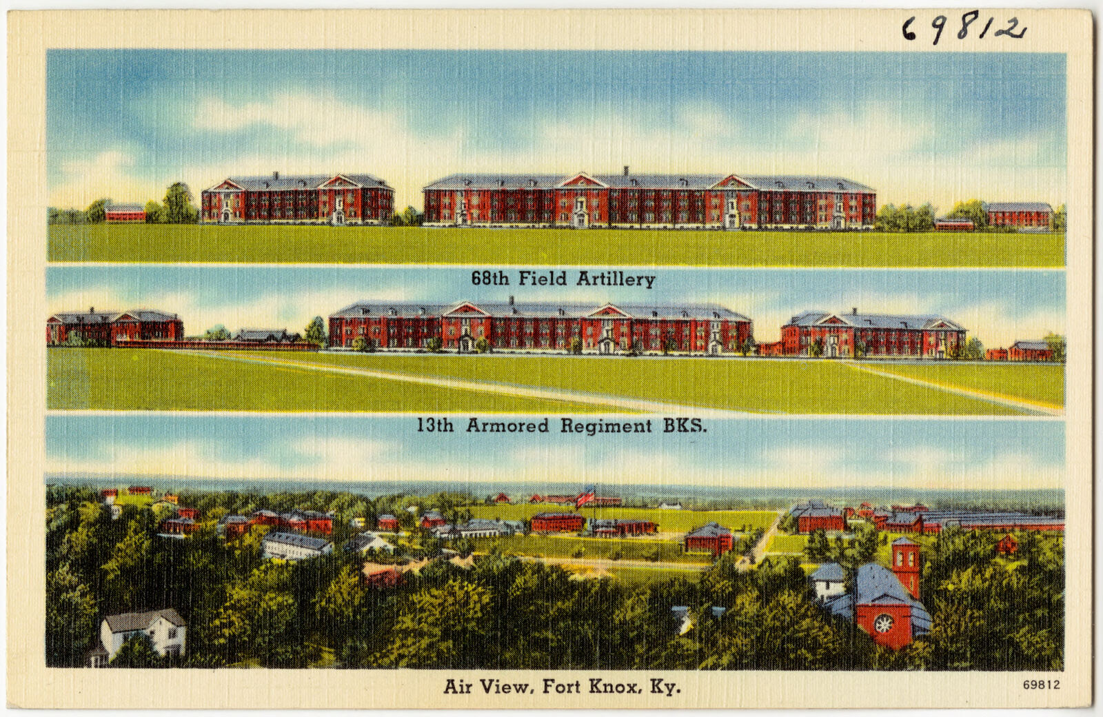
Air view, Fort Knox, Ky., Boston Public Library - undated
Air view, Fort Knox, Ky.. Boston Public Library, via the Digital Public Library of America.
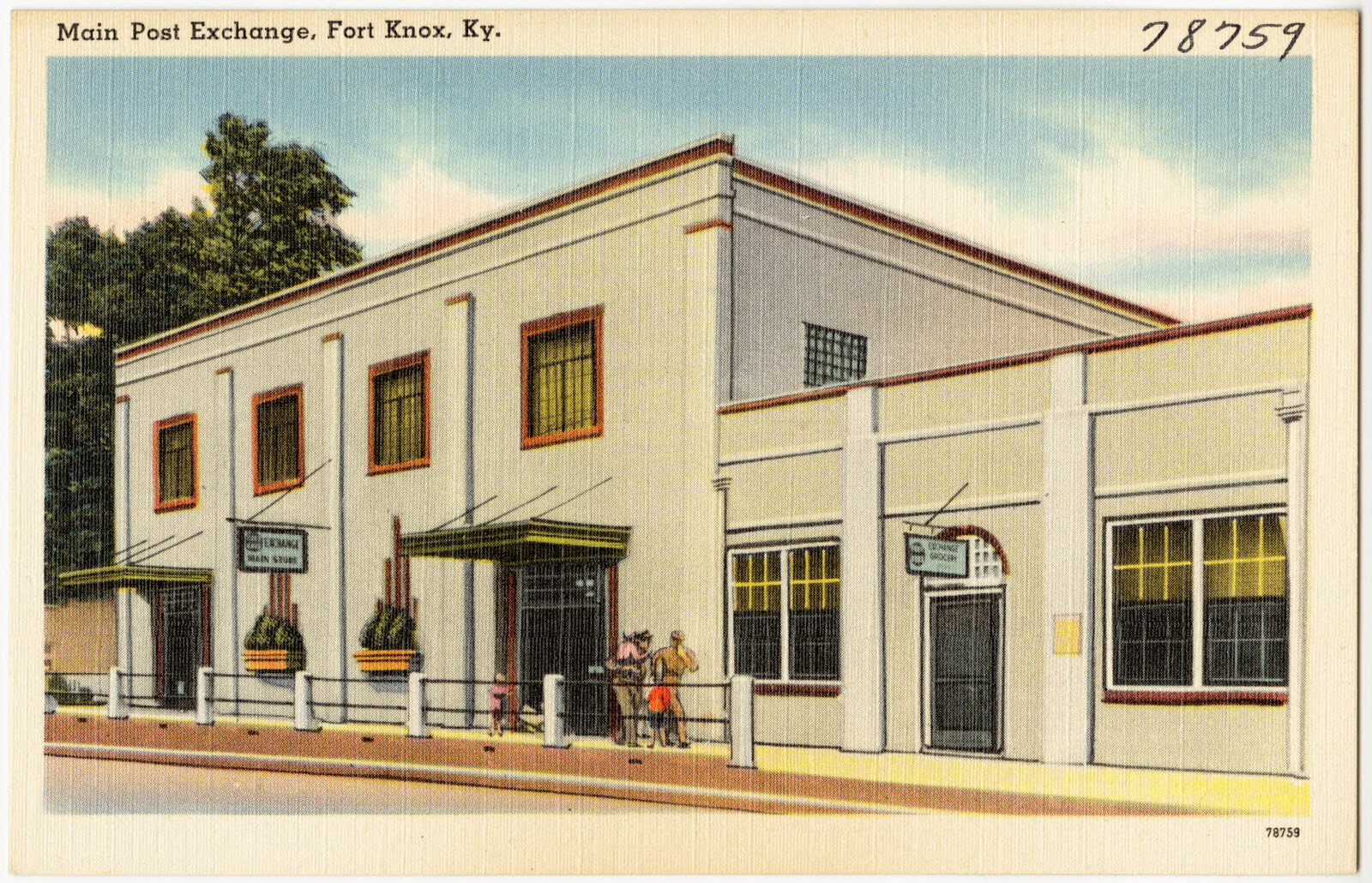
Main Post Exchange, Fort Knox, Ky., Boston Public Library - undated
Main Post Exchange, Fort Knox, Ky.. Boston Public Library, via the Digital Public Library of America.
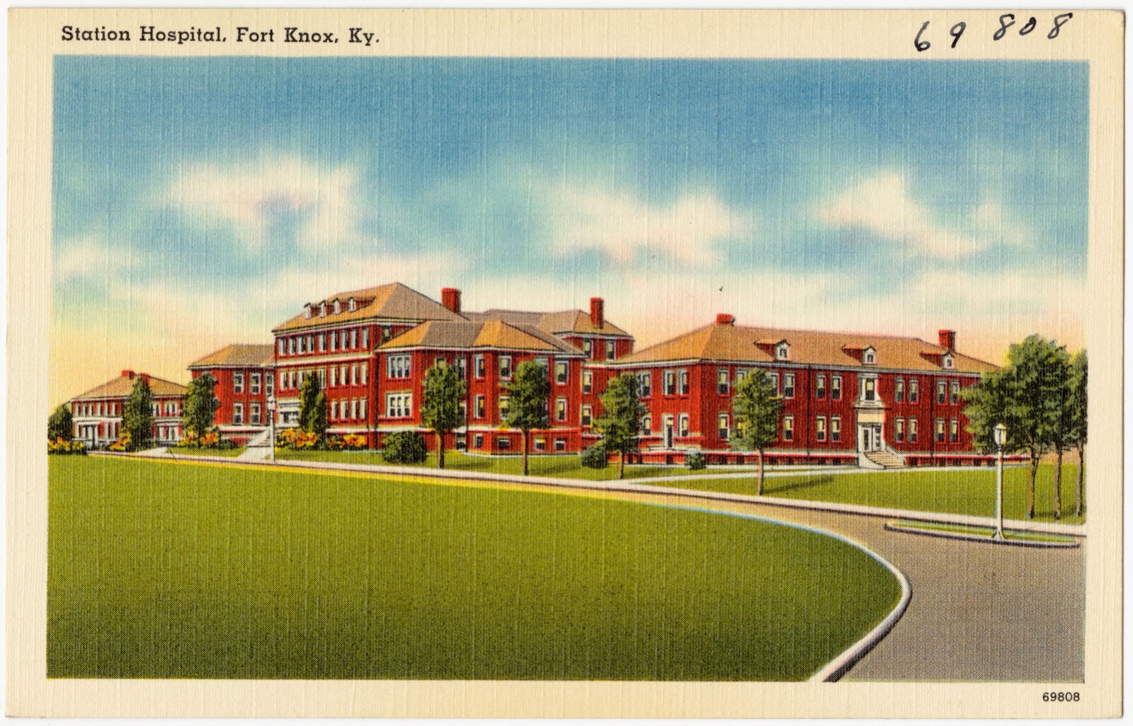
Station Hospital, Fort Knox, Ky., Boston Public Library - undated
Station Hospital, Fort Knox, Ky.. Boston Public Library, via the Digital Public Library of America.
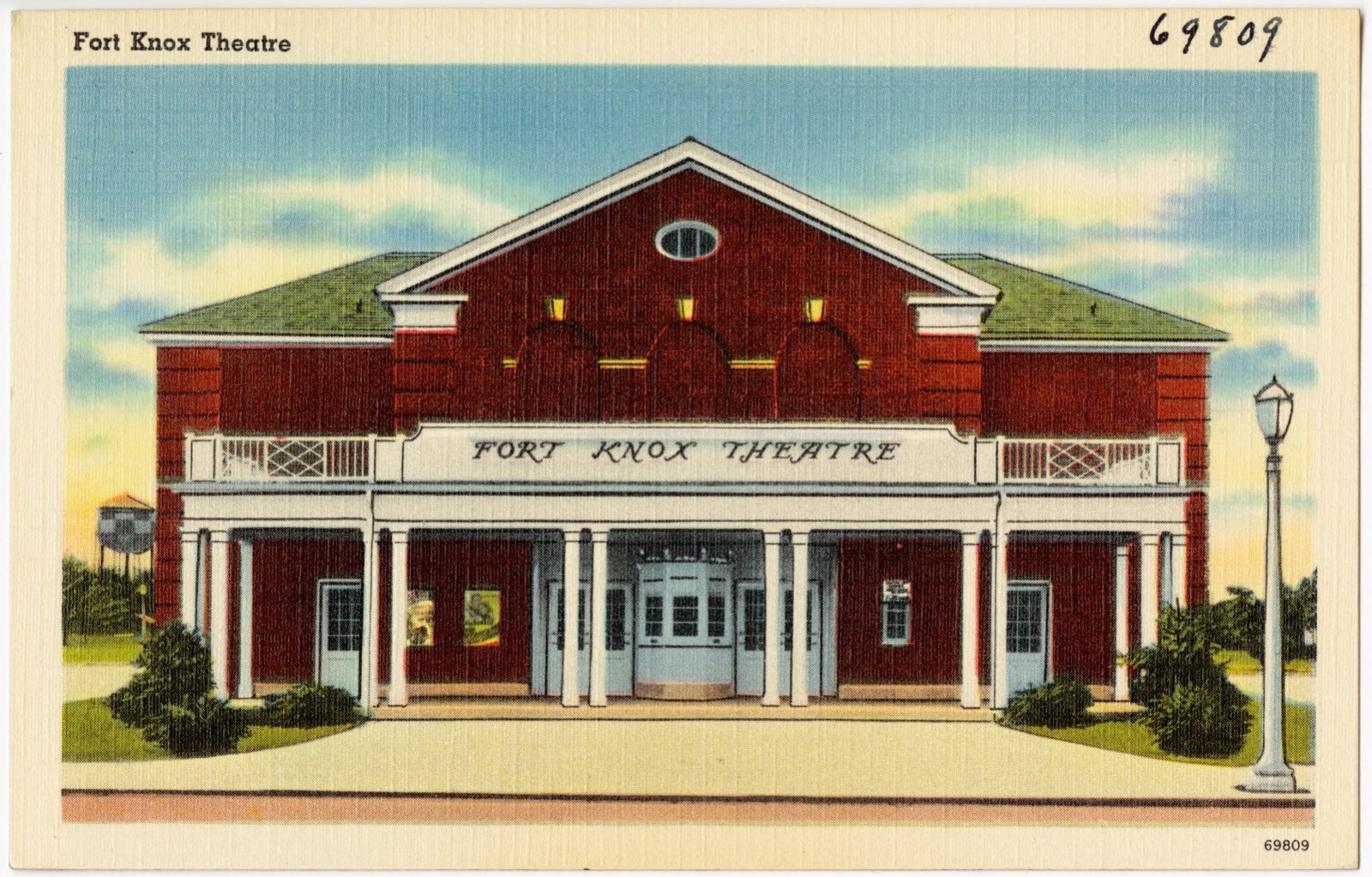
Fort Knox Theatre, Boston Public Library - undated
Fort Knox Theatre. Boston Public Library, via the Digital Public Library of America.
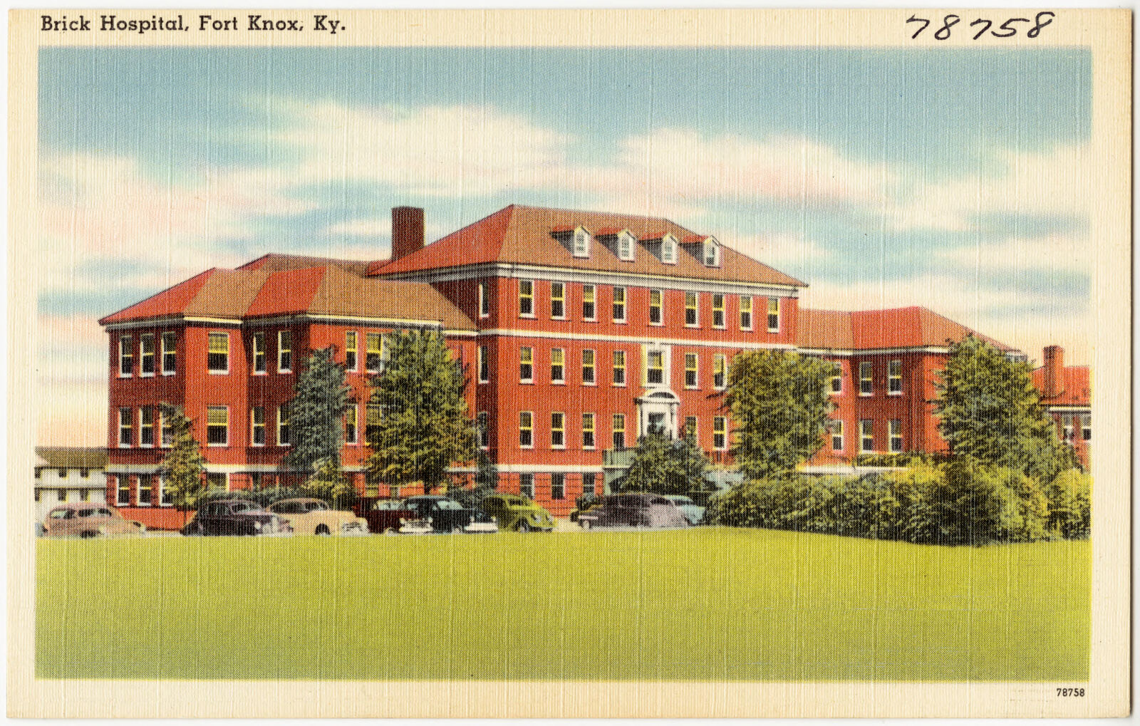
Brick Hospital, Fort Knox, Ky., Boston Public Library - undated
Brick Hospital, Fort Knox, Ky.. Boston Public Library, via the Digital Public Library of America.
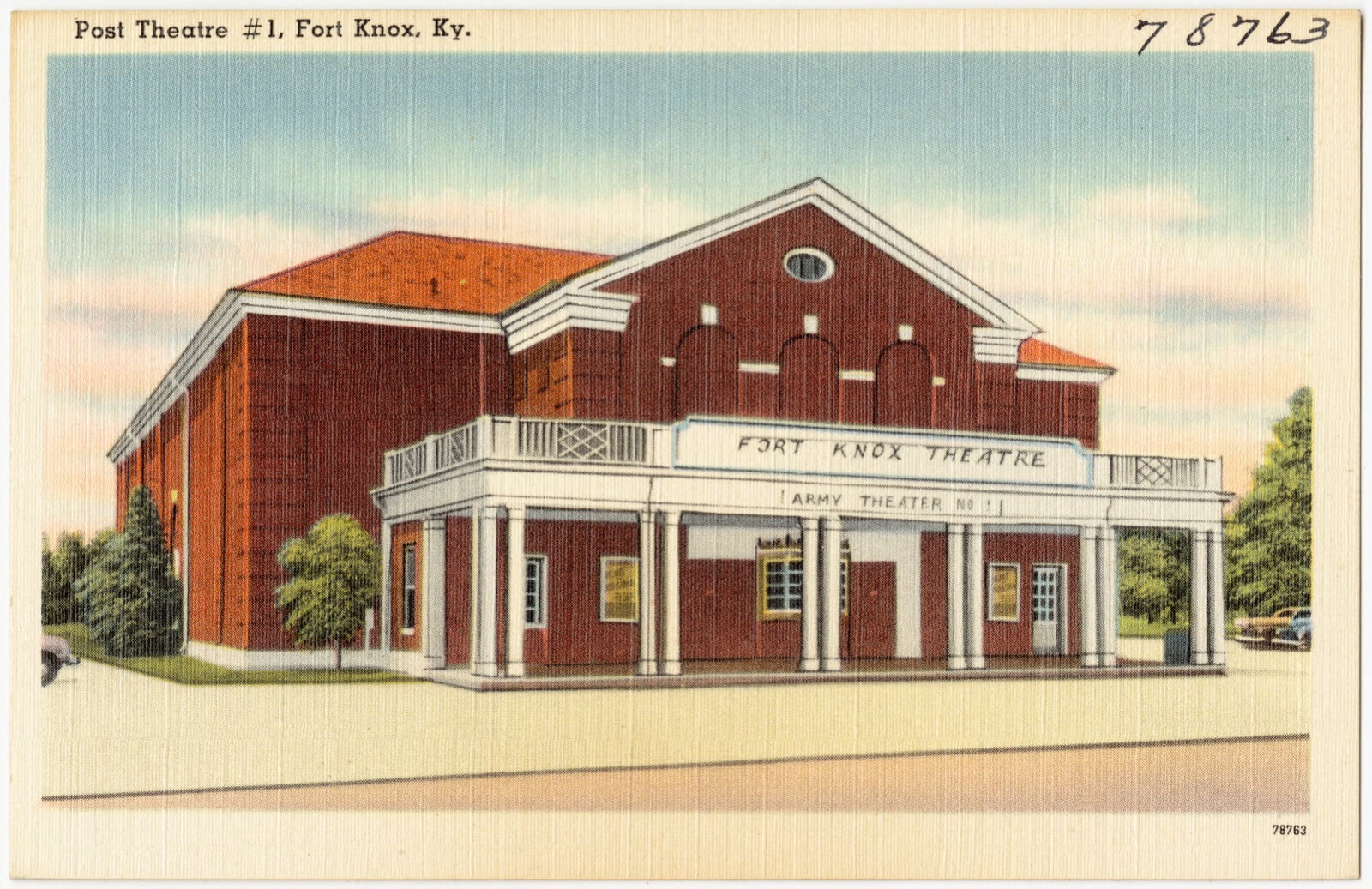
Post Theatre #1, Fort Knox, Ky., Boston Public Library - undated
Post Theatre #1, Fort Knox, Ky.. Boston Public Library, via the Digital Public Library of America.

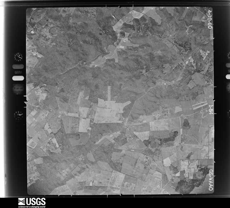
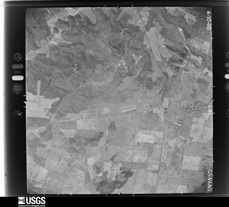
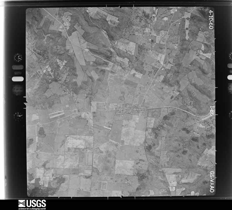
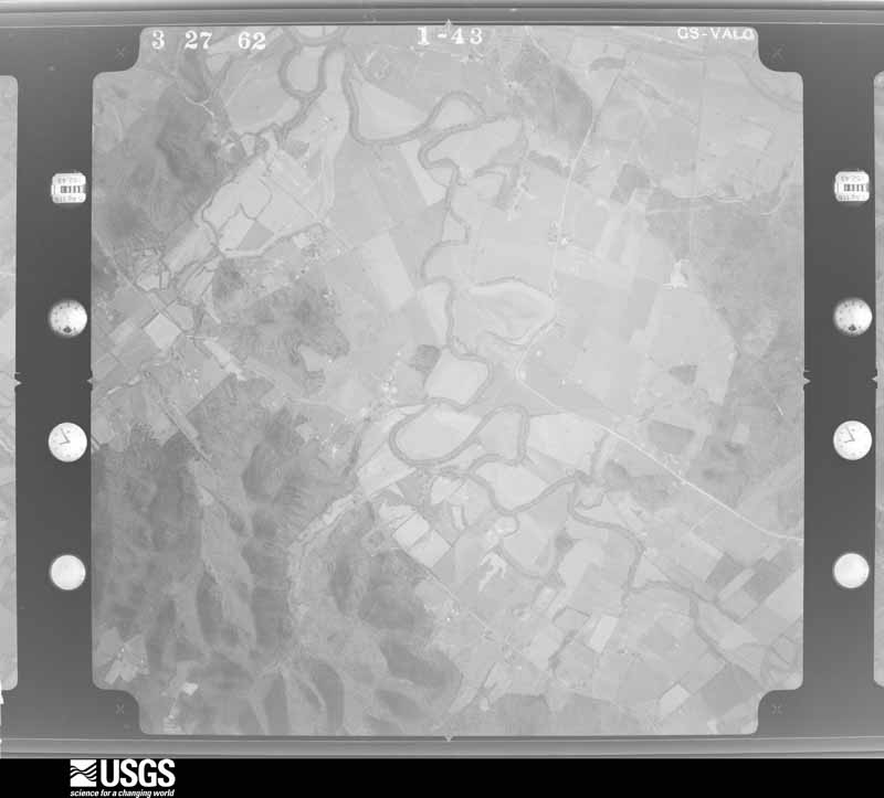
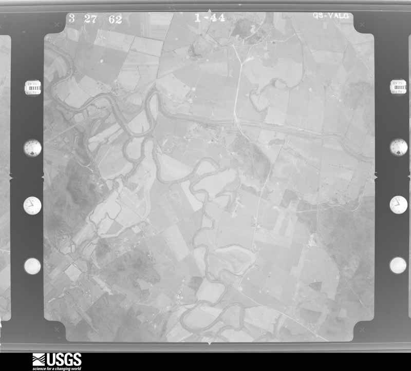
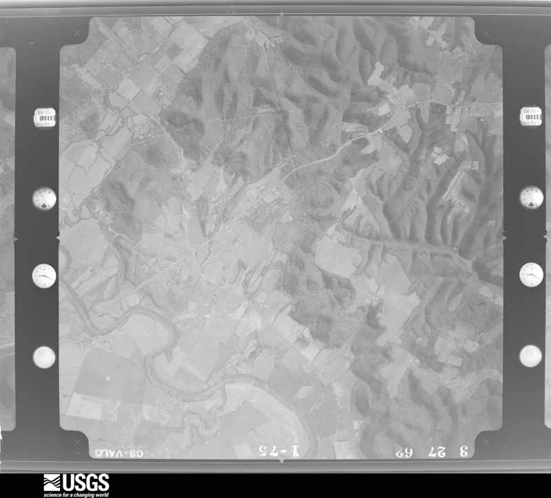
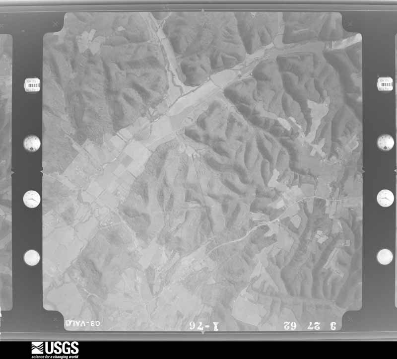
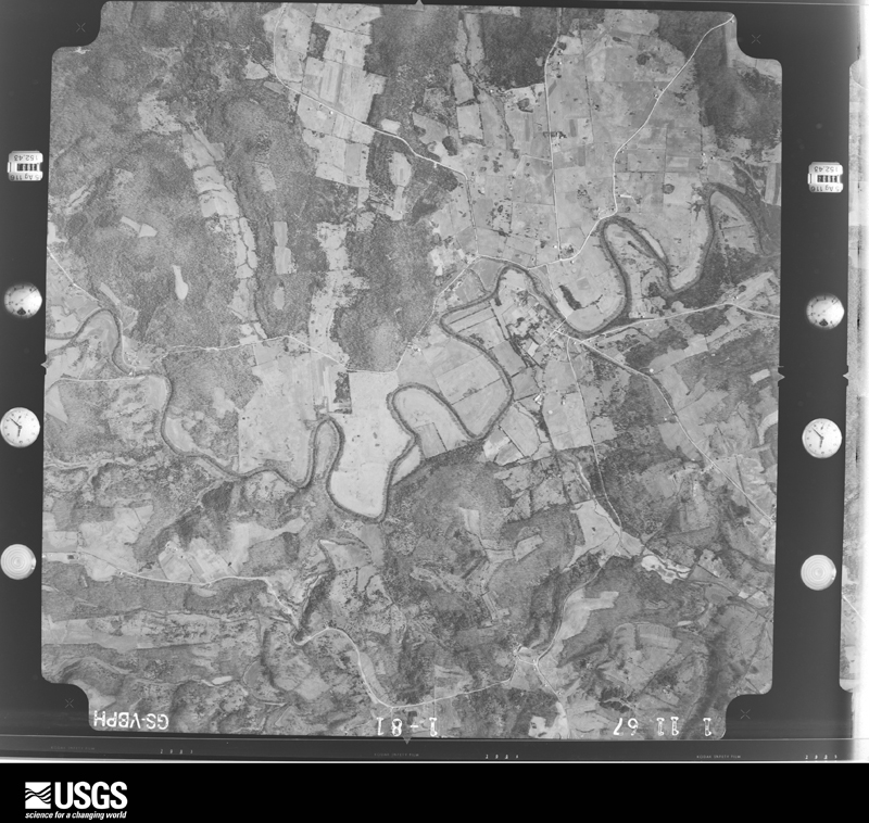
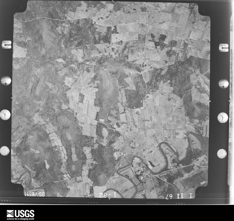
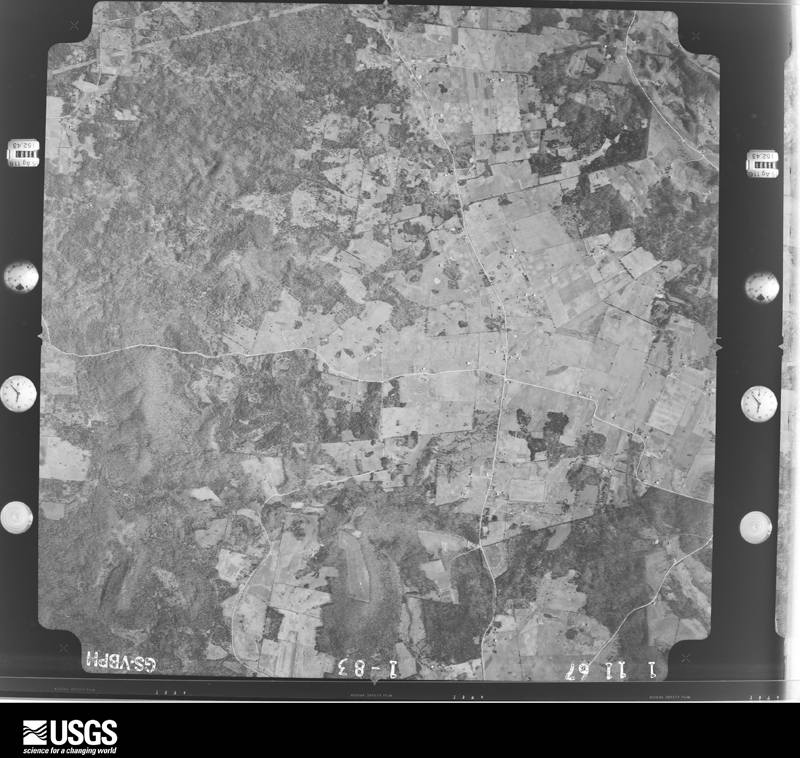
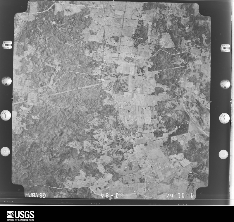
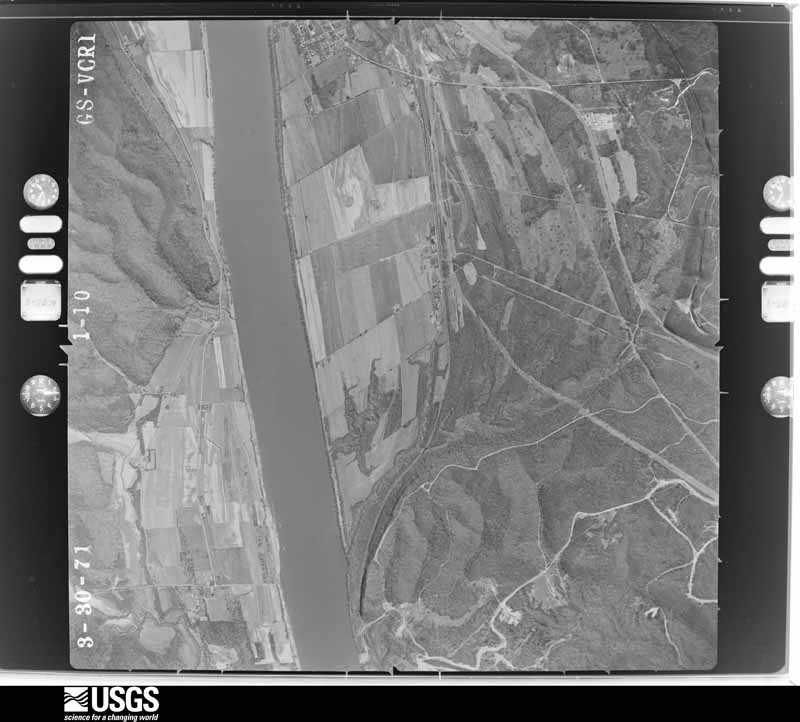
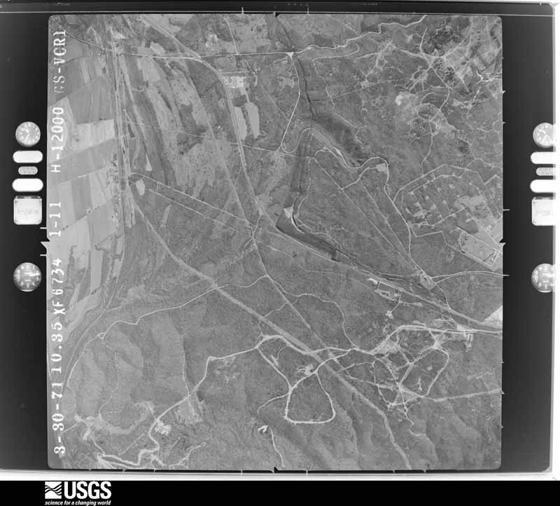
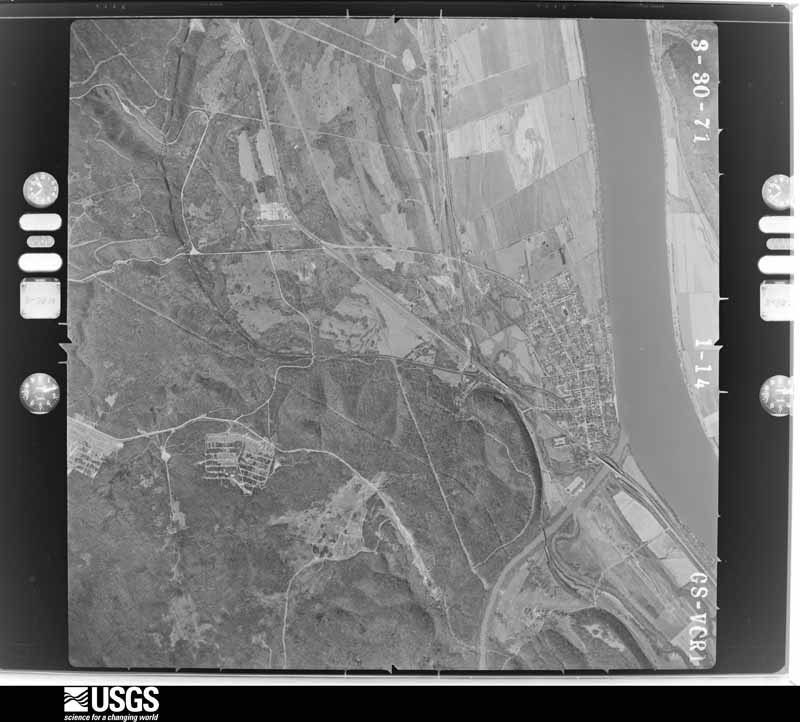
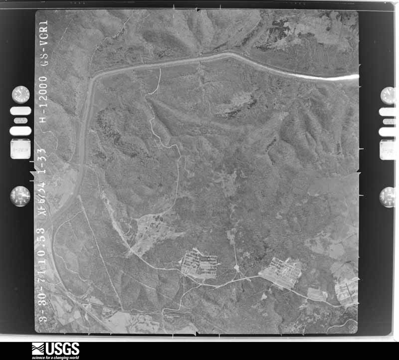
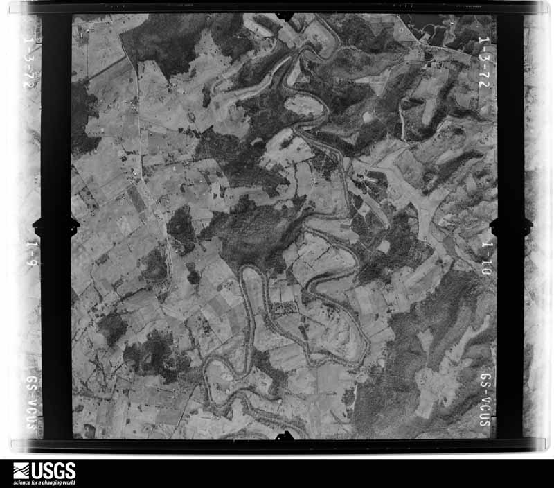
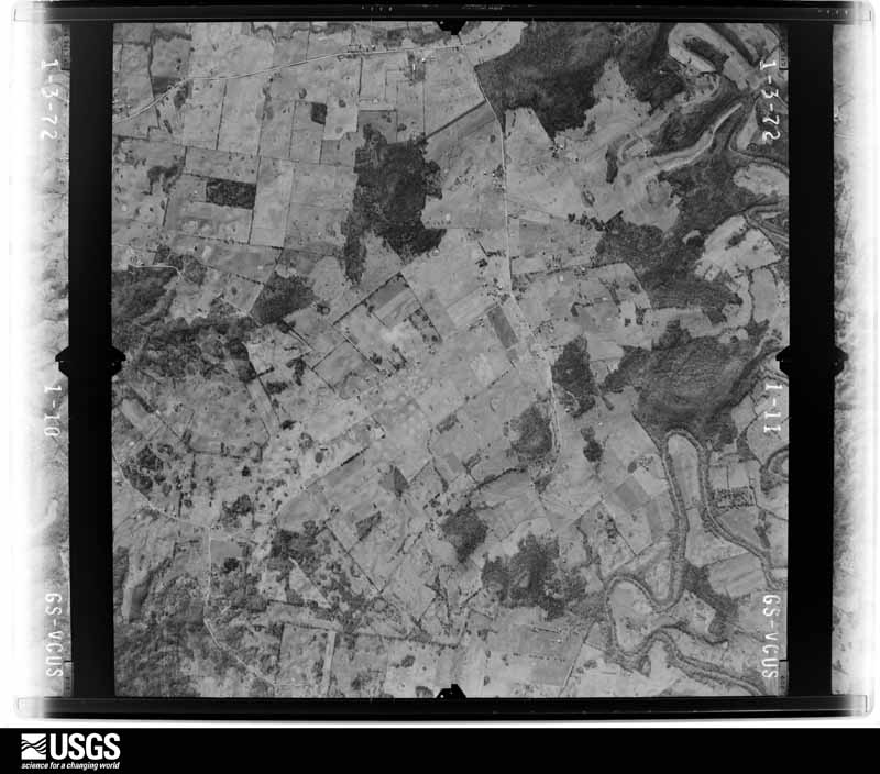
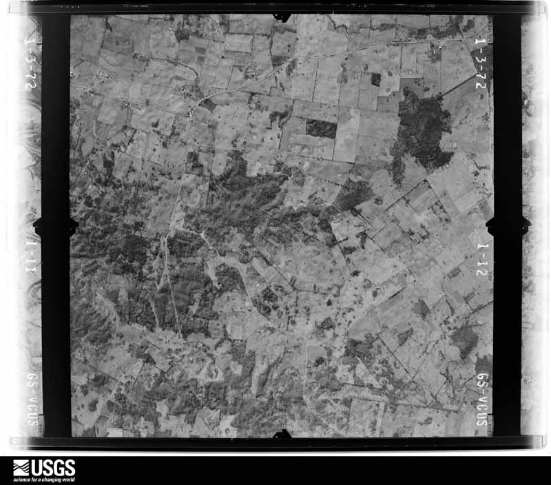
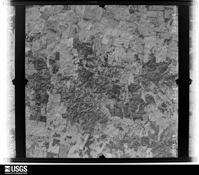
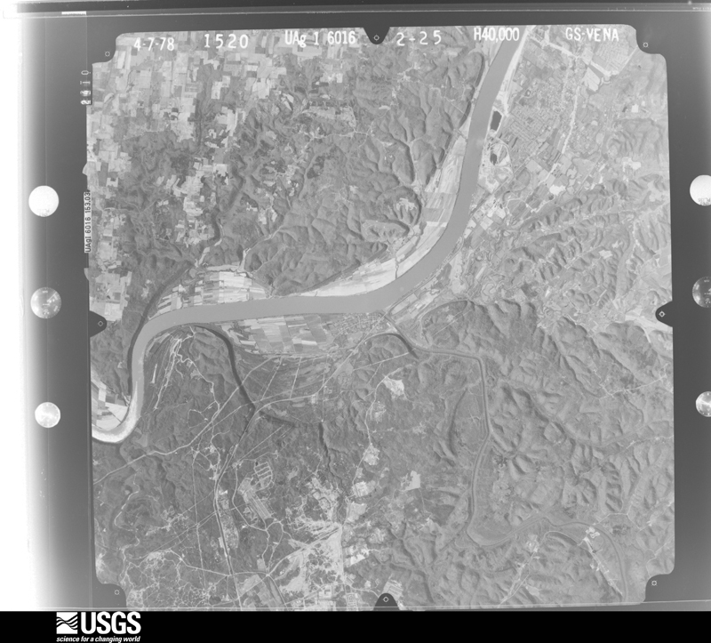
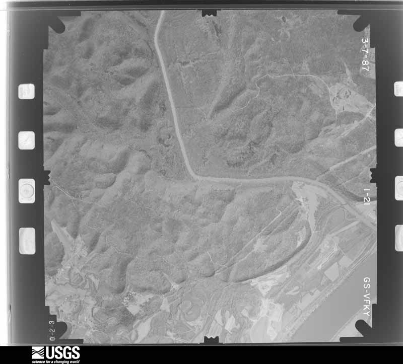
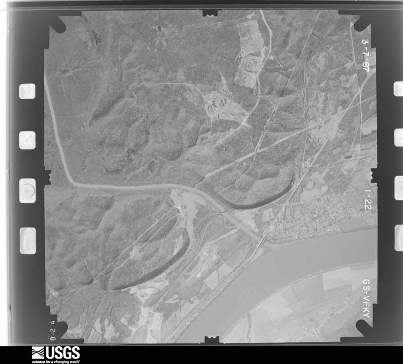
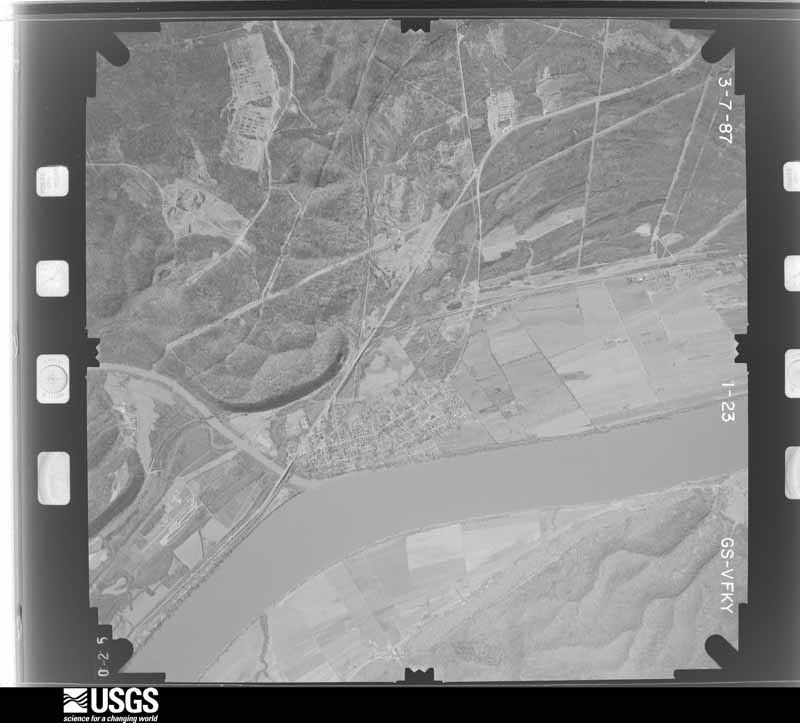
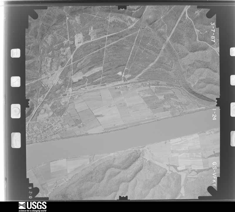
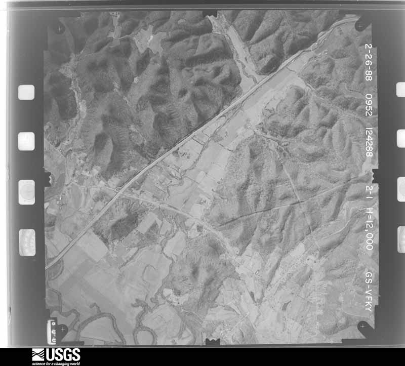
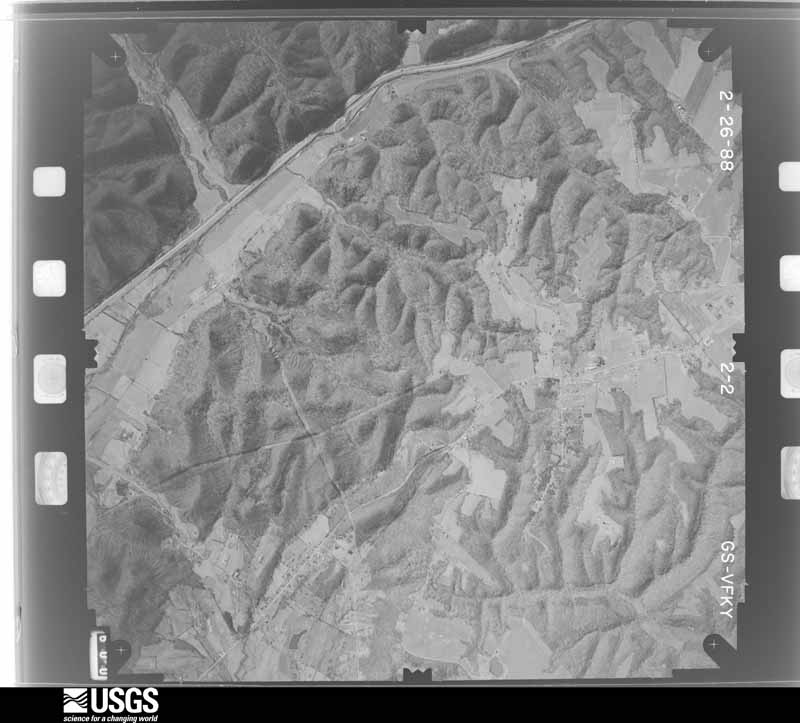
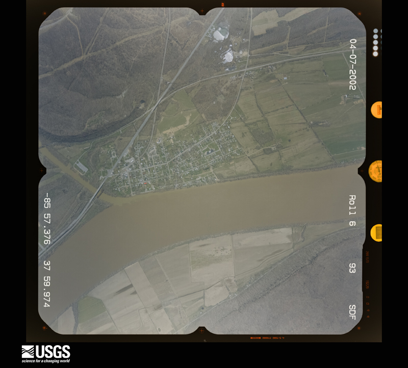
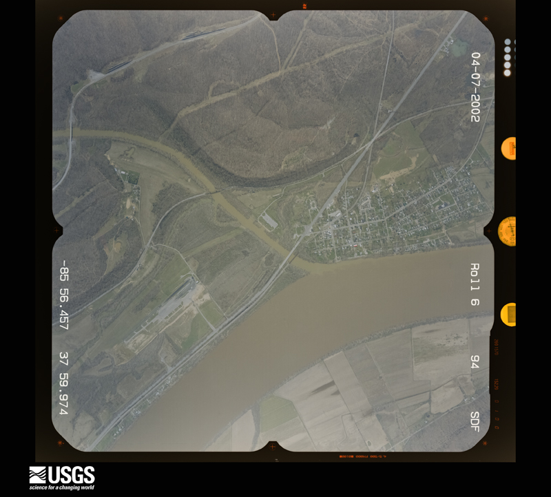
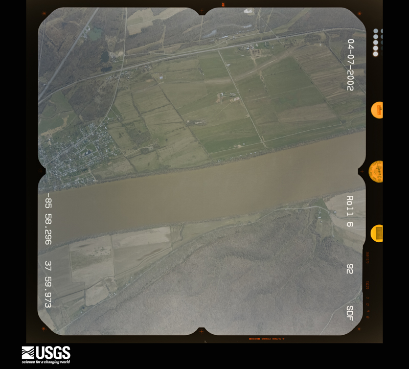
The county from the air

41 shown

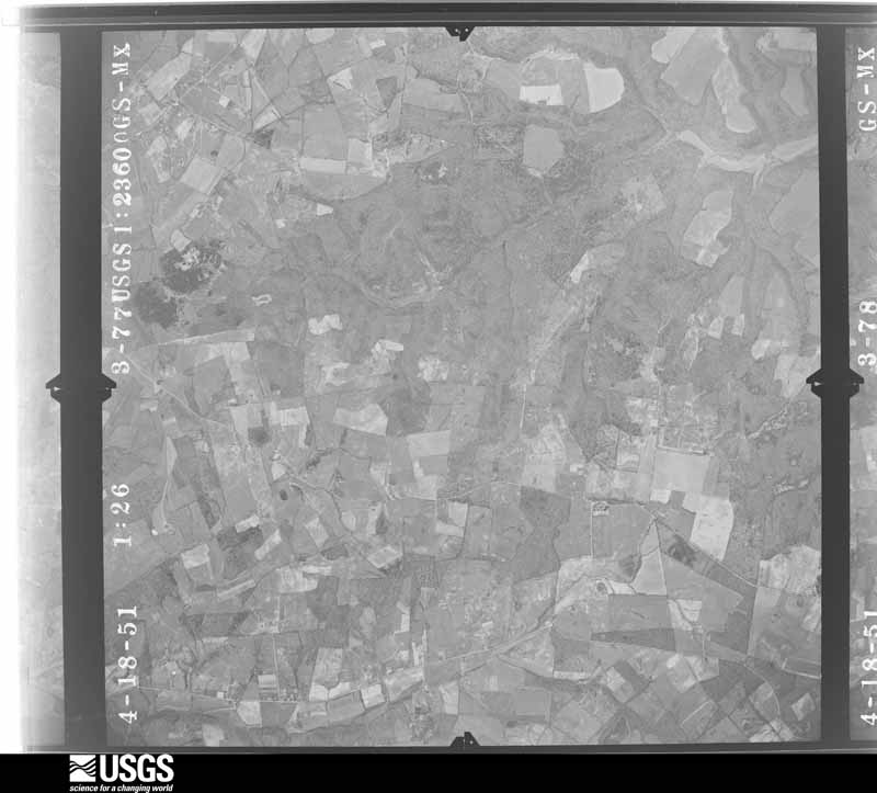
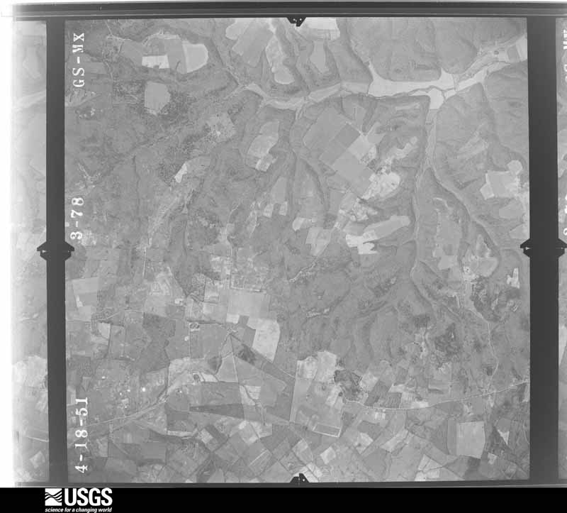
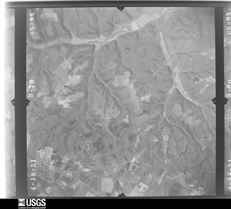
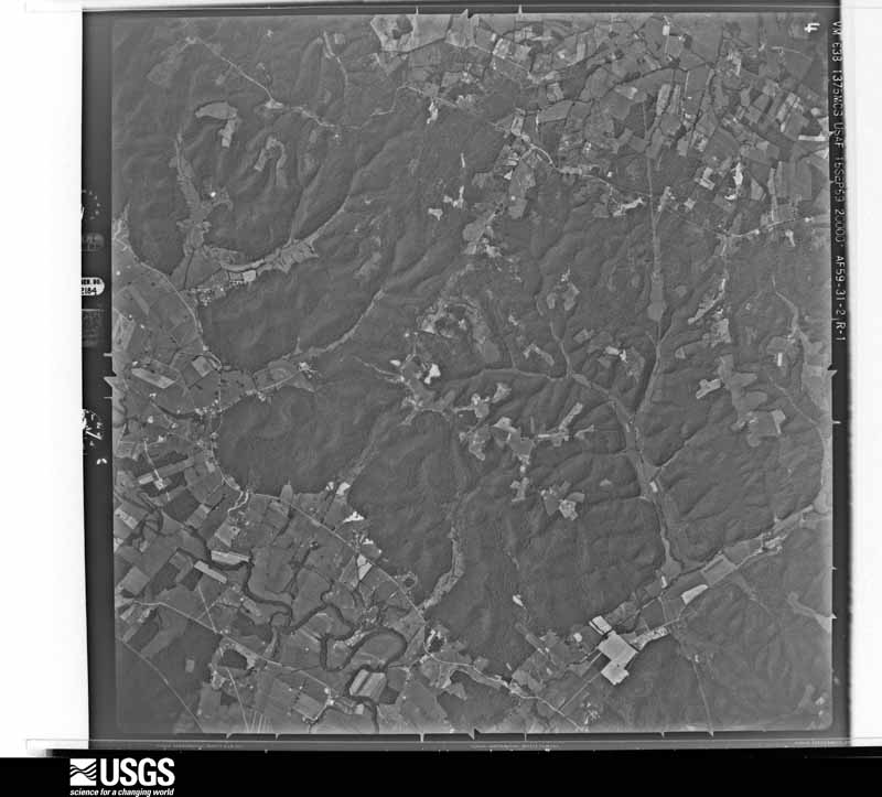
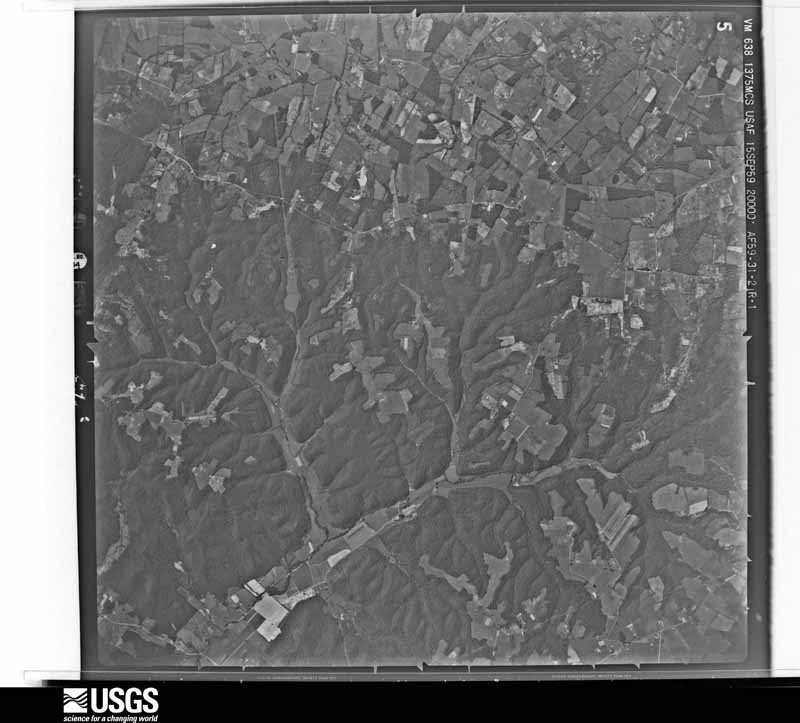
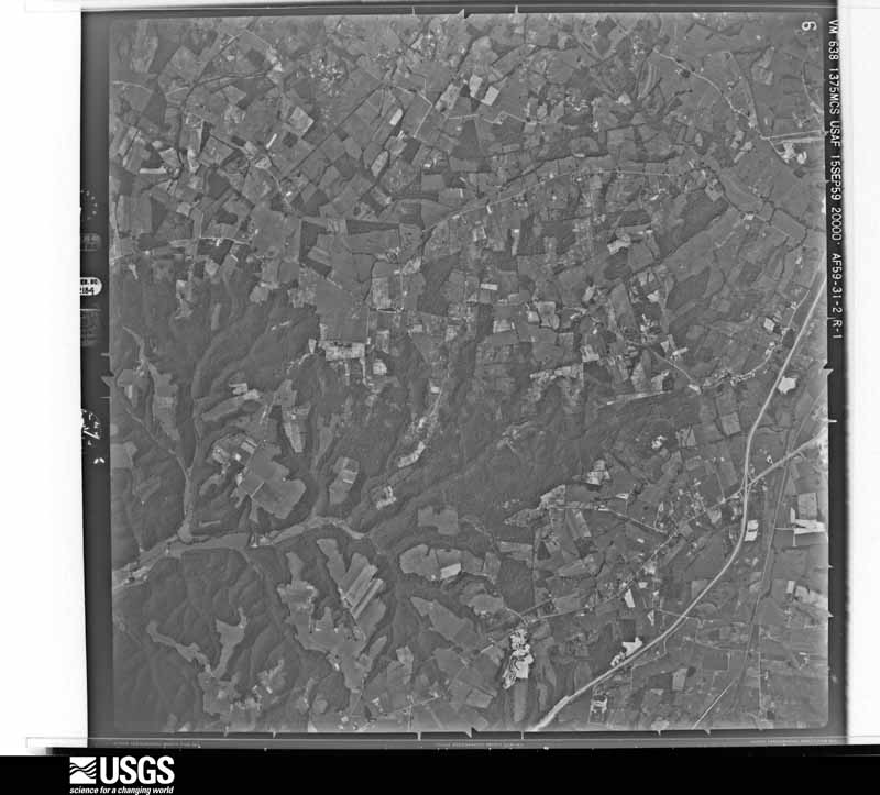
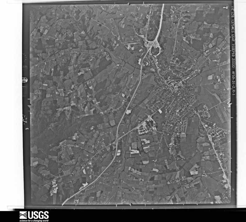
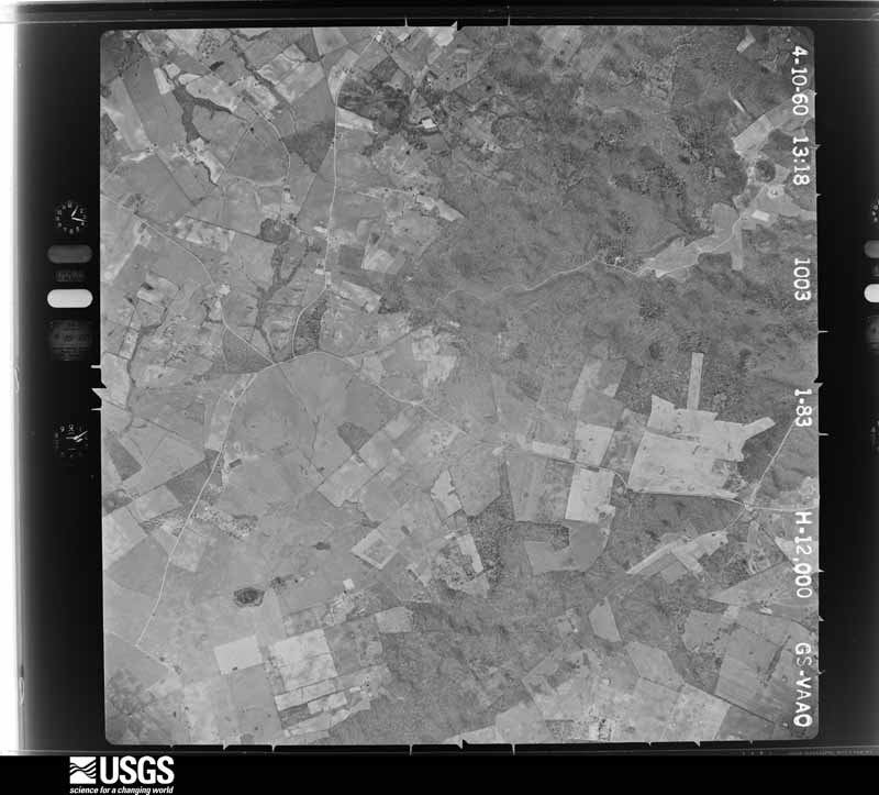
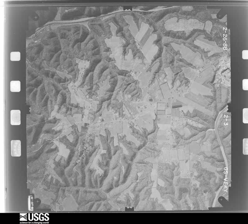
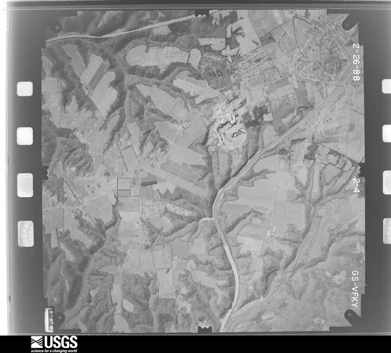
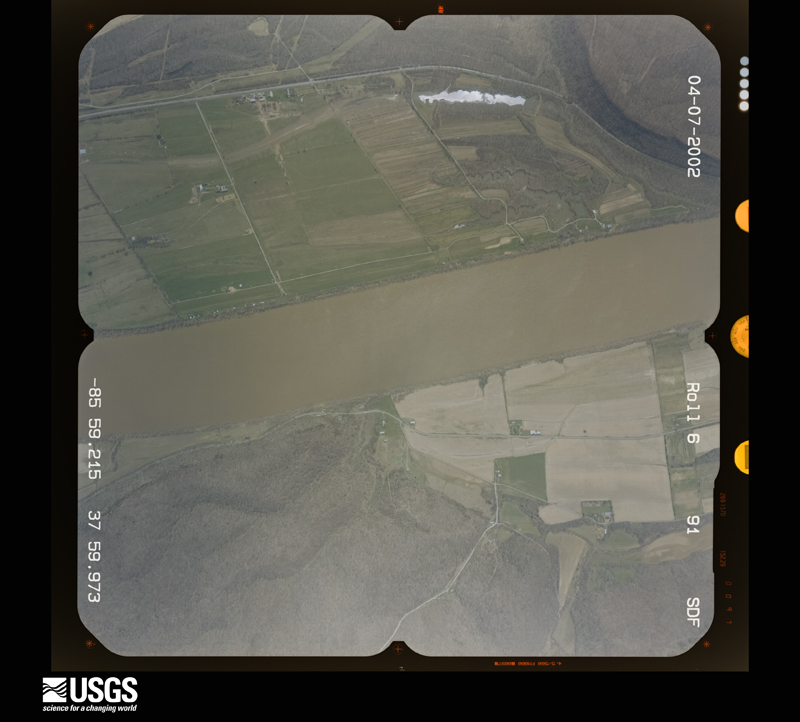
Flown by the U.S. Geological Survey between 1937 and 1989, the Aerial Photo Single Frames collection is the definitive mid-century view of the land: fields, roads and rivers as the camera saw them. The Survey holds 1,718 frames inside the rectangle that bounds this county; the 41 frames below were taken over the county itself, chosen across the decades of flights (at most four a year from that rectangle), so one flight cannot crowd out the rest. The full set is free to browse and download at EarthExplorer under the dataset Aerial Photo Single Frames.

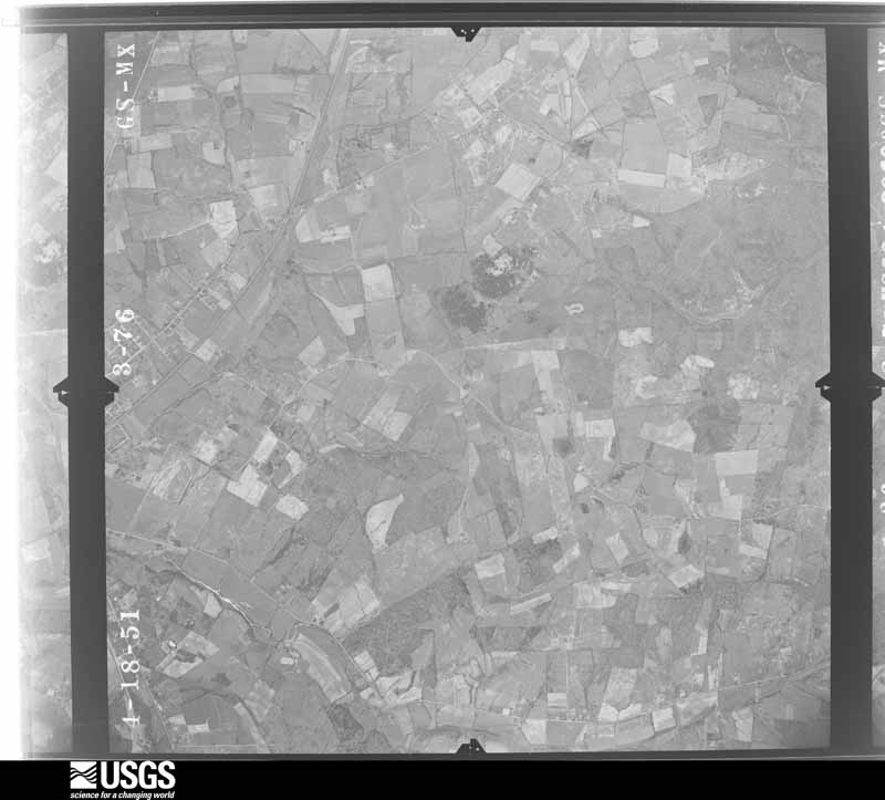
U.S. Geological Survey aerial photograph, 1951-04-01, scale 1:23600
1951-04-01, scale 1:23600. U.S. Geological Survey aerial photograph.
U.S. Geological Survey aerial photograph, 1951-04-01, scale 1:23600
1951-04-01, scale 1:23600. U.S. Geological Survey aerial photograph.
U.S. Geological Survey aerial photograph, 1951-04-01, scale 1:23600
1951-04-01, scale 1:23600. U.S. Geological Survey aerial photograph.
U.S. Geological Survey aerial photograph, 1951-04-01, scale 1:23600
1951-04-01, scale 1:23600. U.S. Geological Survey aerial photograph.
U.S. Geological Survey aerial photograph, 1959-09-15, scale 1:40000
1959-09-15, scale 1:40000. U.S. Geological Survey aerial photograph.
U.S. Geological Survey aerial photograph, 1959-09-15, scale 1:40000
1959-09-15, scale 1:40000. U.S. Geological Survey aerial photograph.
U.S. Geological Survey aerial photograph, 1959-09-15, scale 1:40000
1959-09-15, scale 1:40000. U.S. Geological Survey aerial photograph.
U.S. Geological Survey aerial photograph, 1959-09-15, scale 1:40000
1959-09-15, scale 1:40000. U.S. Geological Survey aerial photograph.
U.S. Geological Survey aerial photograph, 1960-04-13, scale 1:24000
1960-04-13, scale 1:24000. U.S. Geological Survey aerial photograph.
U.S. Geological Survey aerial photograph, 1960-04-13, scale 1:24000
1960-04-13, scale 1:24000. U.S. Geological Survey aerial photograph.
U.S. Geological Survey aerial photograph, 1960-04-13, scale 1:24000
1960-04-13, scale 1:24000. U.S. Geological Survey aerial photograph.
U.S. Geological Survey aerial photograph, 1960-04-13, scale 1:24000
1960-04-13, scale 1:24000. U.S. Geological Survey aerial photograph.
U.S. Geological Survey aerial photograph, 1962-03-24, scale 1:24000
1962-03-24, scale 1:24000. U.S. Geological Survey aerial photograph.
U.S. Geological Survey aerial photograph, 1962-03-24, scale 1:24000
1962-03-24, scale 1:24000. U.S. Geological Survey aerial photograph.
U.S. Geological Survey aerial photograph, 1962-03-24, scale 1:24000
1962-03-24, scale 1:24000. U.S. Geological Survey aerial photograph.
U.S. Geological Survey aerial photograph, 1962-03-24, scale 1:24000
1962-03-24, scale 1:24000. U.S. Geological Survey aerial photograph.
U.S. Geological Survey aerial photograph, 1967-01-19, scale 1:24000
1967-01-19, scale 1:24000. U.S. Geological Survey aerial photograph.
U.S. Geological Survey aerial photograph, 1967-01-19, scale 1:24000
1967-01-19, scale 1:24000. U.S. Geological Survey aerial photograph.
U.S. Geological Survey aerial photograph, 1967-01-19, scale 1:24000
1967-01-19, scale 1:24000. U.S. Geological Survey aerial photograph.
U.S. Geological Survey aerial photograph, 1967-01-19, scale 1:24000
1967-01-19, scale 1:24000. U.S. Geological Survey aerial photograph.
U.S. Geological Survey aerial photograph, 1971-04-15, scale 1:24000
1971-04-15, scale 1:24000. U.S. Geological Survey aerial photograph.
U.S. Geological Survey aerial photograph, 1971-04-15, scale 1:24000
1971-04-15, scale 1:24000. U.S. Geological Survey aerial photograph.
U.S. Geological Survey aerial photograph, 1971-04-15, scale 1:24000
1971-04-15, scale 1:24000. U.S. Geological Survey aerial photograph.
U.S. Geological Survey aerial photograph, 1971-04-15, scale 1:24000
1971-04-15, scale 1:24000. U.S. Geological Survey aerial photograph.
U.S. Geological Survey aerial photograph, 1972-01-03, scale 1:24000
1972-01-03, scale 1:24000. U.S. Geological Survey aerial photograph.
U.S. Geological Survey aerial photograph, 1972-01-03, scale 1:24000
1972-01-03, scale 1:24000. U.S. Geological Survey aerial photograph.
U.S. Geological Survey aerial photograph, 1972-01-03, scale 1:24000
1972-01-03, scale 1:24000. U.S. Geological Survey aerial photograph.
U.S. Geological Survey aerial photograph, 1972-01-03, scale 1:24000
1972-01-03, scale 1:24000. U.S. Geological Survey aerial photograph.
U.S. Geological Survey aerial photograph, 1978-04-01, scale 1:80000
1978-04-01, scale 1:80000. U.S. Geological Survey aerial photograph.
U.S. Geological Survey aerial photograph, 1987-03-01, scale 1:24000
1987-03-01, scale 1:24000. U.S. Geological Survey aerial photograph.
U.S. Geological Survey aerial photograph, 1987-03-01, scale 1:24000
1987-03-01, scale 1:24000. U.S. Geological Survey aerial photograph.
U.S. Geological Survey aerial photograph, 1987-03-01, scale 1:24000
1987-03-01, scale 1:24000. U.S. Geological Survey aerial photograph.
U.S. Geological Survey aerial photograph, 1987-03-01, scale 1:24000
1987-03-01, scale 1:24000. U.S. Geological Survey aerial photograph.
U.S. Geological Survey aerial photograph, 1988-02-01, scale 1:24000
1988-02-01, scale 1:24000. U.S. Geological Survey aerial photograph.
U.S. Geological Survey aerial photograph, 1988-02-01, scale 1:24000
1988-02-01, scale 1:24000. U.S. Geological Survey aerial photograph.
U.S. Geological Survey aerial photograph, 1988-02-01, scale 1:24000
1988-02-01, scale 1:24000. U.S. Geological Survey aerial photograph.
U.S. Geological Survey aerial photograph, 1988-02-01, scale 1:24000
1988-02-01, scale 1:24000. U.S. Geological Survey aerial photograph.
U.S. Geological Survey aerial photograph, 2002-04-07, scale 1:15000
2002-04-07, scale 1:15000. U.S. Geological Survey aerial photograph.
U.S. Geological Survey aerial photograph, 2002-04-07, scale 1:15000
2002-04-07, scale 1:15000. U.S. Geological Survey aerial photograph.
U.S. Geological Survey aerial photograph, 2002-04-07, scale 1:15000
2002-04-07, scale 1:15000. U.S. Geological Survey aerial photograph.
U.S. Geological Survey aerial photograph, 2002-04-07, scale 1:15000
2002-04-07, scale 1:15000. U.S. Geological Survey aerial photograph.

Weather records

22 stations, 3 gages

The thermometers that kept this county's weather, and the gages that measured the flow of its streams, as the federal records hold them. The extremes below are measured values from those records, not estimates.

The 1950 census, district by district

40 districts

Who lived here in 1950, one enumeration district at a time, as the Census Bureau described each district. Each row opens its official National Archives result, with Population Schedules and ED Maps available there.

  • 47-1Elizabethtown city, comprising parts of Magisterial Districts 1 and 6: Elizabethtown city - That part in Magisterial District 1 Bounded by City limits; City limits; E. Poplar; N. Main, U.S. Hwy. 62
  • 47-2Elizabethtown city - That part in Magisterial District 1 Bounded by E. Poplar; City limits; City limits; S. Mulberry, W. Dixie Ave., N. Main
  • 47-3Elizabethtown city - That part in Magisterial District 1 Bounded by Helm; S. Mulberry; City limits; Magisterial District line
  • 47-4Elizabethtown city - That part in Magisterial District 6 Bounded by City limits; U.S. Hwy. 62, N. Main; W. Dixie Ave., S. Mulberry, Helm; N. Miles
  • 47-5Elizabethtown city - That part in Magisterial District 6 Bounded by City limits; N. Miles; W. Dixie (U.S. Hwy. 31 West), Old Dixie Ave.; City limits
  • 47-6Elizabethtown city - That part in Magisterial District 6 Bounded by Old Dixie Ave., W. Dixie Ave. (U.S. Hwy. 31 West) N. Miles; Helm, Magisterial District line; City limits
  • 47-7Magisterial District 1, outside Elizabethtown city: Magisterial District 1 - That part northeast of Illinois Central Railroad, outside Elizabethtown city
  • 47-8Magisterial District 1 - That part southwest of Illinois Central Railroad , east of U.S. Hwy. 31 West, south of State Hwy. 222, east of Louisiana and Nashville Railroad, outside Elizabethtown city
  • 47-9Magisterial District 1 - That part west of U.S. Hwy. 31 West, north of State Hwy. 222, west of Louisiana and Nashville Railroad, outside Elizabethtown city, excluding Kentucky Baptist Childrens' Home
  • 47-10Kentucky Baptist Childrens' Home (In Magisterial District 1) (Remainder of Magisterial District 1 is in Elizabethtown city)
  • 47-11Magisterial District 2: Sonora town
  • 47-12Upton town - That part in Hardin County comprising part of Magisterial District 2 (Remainder of Upton town is in Magisterial District 4, Larue County)
  • 47-13Magisterial District 2 - That part east of Glendale - Upton Rd. via Sandy School, outside Sonora and Upton towns
  • 47-14Magisterial District 2 - That part west of Glendale - Sandy School Rd., northeast of State Hwy. 84 and White Mills - Upton Rd. via Flint Hill School
  • 47-15Magisterial District 2 - That part southwest of State Hwy. 84 and White Mills - Upton Rd. via Flint Hill School and Sandy School, outside Upton town
  • 47-16Magisterial District 3: Magisterial District 3 - That part east of Illinois Central Railroad
  • 47-17Magisterial District 3 - That part west of Illinois Central Railroad, northwest of State Hwy. 84, east of road from Big Clifty to north district line near Buzzard Cliff via Cann School
  • 47-18Magisterial District 3 - That part west of road from Big Clifty to north district line near Buzzard Cliff via Cann School, northwest of Rough Creek and north of Linders Creek
  • 47-19Magisterial District 3 - That part southeast of Rough Creek, north of Linders Creek, west of road from Big Clifty to north district line near Buzzard Cliff via Burkhead School
  • 47-20Magisterial District 3 - That part southeast of State Hwy. 84, west of Illinois Central Railroad, east of road from Big Clifty to north district line near Buzzard Cliff via Burkhead and Cann Schools
  • 47-21Magisterial District 4: Magisterial District 4 - That part east of Illinois Central Railroad , south of Elizabethtown - Custer Rd. via St. John, east of State Hwy. 253 and south of State Hwy. 86
  • 47-22Magisterial District 4 - That part west of Illinois Central Railroad, north of Elizabethtown - Custer Rd. via St. John, west of State Hwy. 253, north of State Hwy. 86, east of Howe Valley - Pleasant View Church Rd. via Mays Grove Church and north of Elizabethtown - Custer Rd. via St. John
  • 47-23Magisterial District 4 - That part south of Elizabethtown - Custer Rd. via St. John, west of Howe Valley - Pleasant View Church Rd. via Mays Grove Church and south of State Hwy. 86
  • 47-24Magisterial District 5: Vine Grove town: Vine Grove town - That part north of State Hwy. 64
  • 47-25Vine Grove town - That part south of State Hwy. 64
  • 47-26West Point town
  • 47-27Magisterial District 5 - That part north of Illinois Central Railroad and Louisiana and Nashville Railroad, outside West Point town, excluding Fort Knox (part)
  • 47-28AN/A
  • 47-28BN/A
  • 47-29Fort Knox - That part in Magisterial District 5 which is in three pieces (Remainder of Fort Knox comprises part of Magisterial District 6, that part of the county not in any Magisterial District, Magisterial District 1, Shepherdsville, and Magisterial District 4, Pine Tavern, Bullitt County, Kentucky and Magisterial District 1, Meade County, Kentucky)
  • 47-30Magisterial District 5 - That part southwest of State Hwy. 64, southeast of Vine Grove - Elizabethtown Rd., northeast of Flaherty - Elizabethtown Rd. via Rineyville, outside Vine Grove town
  • 47-31Magisterial District 5 - That part southwest of Flaherty - Elizabethtown Rd. via Rineyville
  • 47-32Magisterial District 6, outside Elizabethtown city: Magisterial District 6 - That part southeast of Louisiana and Nashville Railroad
  • 47-33Magisterial District 6 - That part northwest of Louisiana and Nashville Railroad, north of State Hwy. 434, east of State Hwy. 251, outside Elizabethtown city, excluding Fort Knox (part)
  • 47-34Fort Knox - That part in Magisterial District 6 (Remainder of Fort Knox comprises part of Magisterial District 5, that part of the county not in any Magisterial District, Magisterial District 1, Shepherdsville, and Magisterial District 4, Pine Tavern, Bullitt County, Kentucky and Magisterial District 1, Meade County, Kentucky)
  • 47-35Magisterial District 6 - That part south of State Hwy. 434 and west of State Hwy. 251, outside Elizabethtown city
  • 47-36AFort Knox - That part not in any Magisterial District Bounded by Magisterial District line; Salt River (County line); Porter River Rd., Wilson Rd., Vine Grove Rd.; County line
  • 47-36BFort Knox - That part not in any Magisterial District Bounded by Porter River Rd.; County line; Magisterial District line; Wilson Rd.
  • 47-36CFort Knox - That part not in any Magisterial District Bounded by Vine Grove Rd.; Wilson Rd.; Magisterial District line; County line
  • 47-36DN/A

Wildfire, 1999 to 2020

116 fires

Every wildfire the federal occurrence database records inside this county: 116 of them, burning about 1,282 acres. None started naturally and 4 were recorded as arson. Each settlement page carries the fires within five miles of it.

Reported cause Fires
Missing data/not specified/undetermined49
Recreation and ceremony30
Debris and open burning15
Railroad operations and maintenance9
Smoking5
Arson/incendiarism4
Equipment and vehicle use3
Misuse of fire by a minor1

The five largest, by the area the report gives. None of them was recorded as arson.

DateCause SizeReported by Name on the report
6 September 1999Smoking201 acresKentucky Division of Forestrynot named
23 October 2010Missing data/not specified/undetermined144 acresKentucky Division of ForestryFORT DUFFIELD FIRE
20 September 2007Railroad operations and maintenance117 acresKentucky Division of Forestrynot named
13 April 2014Debris and open burning95 acresKentucky Division of ForestryWEST RHUDES CREEK
28 September 2008Railroad operations and maintenance94 acresKentucky Division of Forestrynot named
25 April 2009Recreation and ceremony65 acresKentucky Division of Forestrynot named
28 February 2004Missing data/not specified/undetermined60 acresKentucky Division of Forestrynot named
1 March 2002Railroad operations and maintenance45 acresKentucky Division of Forestrynot named

Every settlement page carries the fires within five miles of it - see the settlement index below.

Storms, 1956 to 2026

60 of 479 shown

The NOAA Storm Events Database holds 479 reports for this county, causing 4 deaths, 130 injuries and about $70,222,000 in recorded property damage. Each settlement page carries the reports that name it.

Kind of event Reports
Thunderstorm Wind266
Hail100
Flash Flood57
Tornado34
Flood11
Heavy Rain7
Lightning4

The most serious of them, by death, then injury, then recorded damage. The accounts are quoted exactly as the forecast office filed them.

WhenEvent Place namedHarm What the report says
April 1974Tornado (F4)Elizabethtown2 killed, 57 hurt, $250,000no account filed
July 2010Lightning(Ftk)Godman Aaf Ft K1 killed, 2 hurtTwo soldiers at Fort Knox were struck by lightning while doing training outside. They were airlifted to the hospital where an 18 year old female eventually died from the injuries she sustained. The time is approximate.
February 2025Flash FloodGlendale Jct1 killed, $20,000At approximately 8 PM, a 63 year old male was driving on Gilead Church Road when he drove into water over the roadway. He left his vehicle and drown. His body was found a short distance from his vehicle. The value of damage to the vehicle is unknown.
May 1995Thunderstorm WindRadcliff46 hurt, $5,000,000Department of Emergency Service reports three mobile home parks received substantial damage. Forty-six minor injuries were also reported throughout the county. In all, 421 homes were damaged and 100 destroyed across the county. Damage was estimated at $10.9 million across the county including $6 million in Vine Grove and $3.5 million in Radcliff. The damage was attributed to downburst winds up to 120 mph with embedded weak F1 tornadoes not out of the question.
March 1974Tornado (F2)not stated8 hurt, $250,000no account filed
May 2003Tornado (F2)Rineyville5 hurt, $1,000,000The tornado formed southwest of Rineyville near Highway 1375. It then skipped across the countryside and reached the town of Rineyville. The tornado then moved about 3 miles northeast of Rineyville and dissipated. It did not appear to be on the ground for the entire duration. Embedded in the tornado path was significant straight line wind damage. An estimated 40 homes were damaged or destroyed. Many of the heavily damaged structures were mobile homes.
May 1990Thunderstorm Windnot stated5 hurtno account filed
November 1989Thunderstorm Windnot stated4 hurtno account filed
July 1986Tornado (F1)not stated1 hurt, $25,000no account filed
April 2018Thunderstorm WindNolin1 hurt, $20,000A truck with a male driver was blown off the road of the 2300 block of Sonora Hardin Springs Road and into a barn. The driver was taken to Hardin Memorial Hospital with minor injuries.
November 2000Thunderstorm WindRineyville1 hurt, $15,000One person was injured as a tree was blown on to a mobile home.
May 1995Thunderstorm WindVine Grove$50,000,000Numerous trees and power lines reported down by Vine Grove police. Hundreds of homes and businesses damaged. Damage estimate at $6 million.
February 2008Tornado (EF2)Franklin Xrds$3,000,000The tornado destroyed a trailer and an outbuilding along Hansborough Road. It caused major roof damage along Bethlehem Academy Road, with one home losing the roof completely. Several boats were flipped over, and a large bus was pushed two feet. The tornado pushed in garage doors at an industrial building along Ring Road. This building also suffered significant roof damage. At Central Hardin High School, the tornado snapped concrete pillar stadium lights at the football stadium. The press box was thrown on to the playing field and destroyed. The basketball gym and a wing of the school suffered roof damage consistent with an EF2 tornado. Along Black Branch Road just east of the school complex, the tornado caused some structural damage to homes.
January 2006Tornado (F2)Cecilia$2,000,000no account filed
March 1997Tornado (F1)Rineyville$2,000,000no account filed
February 2018FloodWest Pt$1,250,000Many areas in and around West Point experienced significant river and areal flooding due to excessive rainfall. Multiple roads were washed out, eroded or severely flooded. Many bridges had cracks or broken joints.
October 2018Tornado (EF1)Kraft$500,000This brief, skipping tornado touched down initially as an EF-0 near the east end of Labrador Way, in a subdivision 1.5 miles south of the Rineyville Elementary School. It did minor roof damage to two homes, tossed a trampoline into a neighboring home, causing siding damage, and pushed a large travel trailer onto a minivan, heavily damaging both. Mud was spattered onto the north-facing front of the home, where a porch column support was also moved slightly. From here it traveled east-northeast, snapping tree limbs as it skipped over mainly open pastureland until it reached Thomas Rd. ||On the west side of Thomas Road, the tornado reached its greatest intensities and size, with winds of 100 mph and a path width of 80 yards. Here it damaged four outbuildings, completely destroying two - the largest being a 30 x 50 structure. The debris pattern from the four outbuildings and nearby trees with snapped trunks and limbs showed clear cyclonic rotation. Metal roofing and siding material was scattered nearly a quarter of a mile to the east- northeast, with some of it lofted into the trees of a heavily wooded area. Other building debris from the largest structure was blown to the northwest, and the south and east-facing walls of a number of structures were spattered with leaves and other ground-based vegetation. Three east-facing garage doors of one of the outbuildings were blown in, and damage sustained to the vehicles in the driveway from downed tree limbs. Three homes in the area sustained roof and siding damage, including a 2x4 from one of the outbuildings blown through an exterior wall. ||The tornado became elevated as it continued east-northeast from Thomas Rd, snapping a few tree limbs in a wooded area before briefly touching down one last time on Rineyville Rd, where it littered the highway with tree limbs and tore the front porch off a home, vaulting the roof over the house into the back yard. Security cameras from a business next door captured the damage occurring as a wall of wind and water that occurred in less than half a minute. No further damage occurred to the east of this location as the tornado dissipated. NWS was assisted in the storm survey by Hardin County Emergency Management.
September 2006Flash FloodCountywide$500,000Water was reported in some homes and businesses in Elizabethtown and Radcliff. Ring Road in Elizabethtown was closed due to high water, and a vehicle was submerged. Dixie Highway north of Elizabethtown was closed. Valley Creek was out of its banks. A telephone switching center was flooded out, which knocked out telephone and internet communications for a large section of central and south central Kentucky. The Red Cross opened a shelter in Elizabethtown, which was occupied by up to two dozen residents. Numerous water rescues were performed. Parts of Interstate 65 were shut down for a time due to high water.
May 1995Tornado (F2)Radcliff$500,000Tornado sighted at Fort Knox. Several buildings damaged.
June 1994Thunderstorm Windnot stated$500,000Strong winds caused damage to hangars and airplanes at Vine Grove Airport.
July 2012LightningSummit$300,000Local media reported that lightning struck the Summit Methodist Church, starting a fire. The church was a total loss.
April 2008Flash FloodVine Grove$250,000Numerous county roads and streets in Vine Grove and Radcliff were closed due to high water. Water got into homes on Frontier Court in Radcliff. A motorist drove into high water on Highway 144 near the Creekvale Subdivision, and a water rescue was performed. Water backed up into businesses and apartments in both Radcliff and Vine Grove.
July 2004Thunderstorm WindCecilia$250,000Numerous trees were blown down, some were blown on to mobile homes. Power lines were downed. A cell tower was blown over.
March 1986Tornado (F1)not stated$250,000no account filed
October 1977Tornado (F2)not stated$250,000no account filed
February 2012Tornado (EF2)Glendale$200,000A survey determined that an EF-2 tornado with estimated winds of 125 to 130 mph touched down near 4510 Gaither Station Road and traveled 5 miles northeast while crossing Interstate 65. After damaging a barn near its initial touchdown point, the tornado damaged some homes and knocked down many trees and fences while crossing New Glendale and Overall Phillips Roads. After crossing the interstate, it then lifted the roofs off of several homes along Wildwood Drive and Sportmans Lake Road. The tornado attained its maximum width of 250 yards while striking a trucking company. Here, it buckled many roof trusses and spread significant debris over the Lincoln Parkway into a mobile home park. Finally, the tornado destroyed a garage and damaged 3 roofs along Hodgenville Road before lifting several hundred yards east of the road.
May 2014Thunderstorm WindRed Hill$150,000A storm survey confirmed damage from a wet microburst that damaged many trees and several buildings just northwest of Ratcliff. The area surveyed covered an area roughly one half mile wide and 2 to 3 miles in length. Based on damage, northwest winds gusted as high as 70 to 75 mph. Along with many downed trees, two homes on Kingswood Road near Hillcrest Road had large sections of their roof taken off and thrown several hundred yards to the southwest. Several homes on Scenic Drive has substantial garage and siding damage. Two businesses at a strip mall just off of Highway 31W had sections of their roof damaged. Hail up to penny size fell for 20 minutes and produced some drifts up to one foot high.
February 2008Tornado (EF2)Tunnel Hill$150,000The tornado knocked a trailer off its foundation at the intersection of Miller Road and Porter Lane. Another trailer near this location was completely destroyed. Another trailer along Miller Road was turned on to its roof.
April 2002Tornado (F1)Radcliff$150,000Two homes had their roofs torn off. There was minor structural damage to 24 other homes. Numerous trees were uprooted. Tornado intensity was estimated at F1 with spots of F2 damage.
July 2020FloodElizabeth Town Arpt$100,000A shopping plaza parking lot was flooded, and water was completely above the car tires and almost up to door handles.
June 2018Thunderstorm WindMartin Box$100,000AGC Automotive Americas had mechanical units blown off of their roof and metal wall panels blown approximately 1,000 to 1,500 feet downwind.
January 2002LightningRadcliff$100,000Lightning struck a home along Wintergreen Road in Radcliff. The home was totally destroyed by fire. There were no injuries.
April 2018Thunderstorm WindSonora$75,000Amateur radio operators reported power lines and structural damage in the area.
April 2018Thunderstorm WindGlendale Jct$75,000Amateur radio operators reported that a workshop was leveled and farm machinery was damaged on Gilead Church Road.
August 2007Thunderstorm WindSonora$75,000A barn was destroyed.
August 2000Flash FloodElizabeth Town$75,000Nearly three inches of rain fell over parts of Hardin and Larue Counties over an hour and a half time period. The Elizabethtown City Springs Water Treatment Plant received 2.8 inches of rain through 430 PM EST. Several roads and highways in Hardin County and in Elizabethtown were closed due to high waters. Flood waters got into some basements and storage sheds in Elizabethtown.
April 2018Thunderstorm WindNolin$50,000Amateur radio operators reported that a 2 story building was leveled with debris scattered into the road.
March 2017Thunderstorm WindVine Grove$50,000An off duty NWS employee reported 3 telephone poles snapped along Crume Road.
March 2016Thunderstorm WindRineyville$50,000There was a public report of shingle and roof damage to several residences just north of Rineyville.
October 2016Thunderstorm WindPerryville$50,000An amateur radio operator reported several barns and wooden fences destroyed by thunderstorm winds.
March 2006Thunderstorm WindElizabeth Town$50,000The roof was blown off a house in the St. John's Road area.
June 2001Thunderstorm WindRadcliff$50,000A roof was blown off a dental office building. The roof landed on a car in an adjacent parking lot. Trees were uprooted, and power lines were downed.
July 2001Flash FloodElizabeth Town$50,000Cardinal and Shaw Creeks were out of their banks. Water was in the basements of several homes in the Cardinal Creek Subdivision.
May 1995Thunderstorm WindGlendale$50,000A roof was blown off a barn onto a mobile home reported by Elizabethtown Department of Emergency Service. Also, many trees were down. A steeple from a church was blown off.
February 1993Thunderstorm Windnot stated$50,000Trees and power lines were blown down in the city of Elizabethtown.
April 2003Thunderstorm WindElizabeth Town$30,000A mobile home was overturned. Also, several trees were downed.
April 2018Thunderstorm WindGlendale$25,000Amateur radio operators reported power lines down at the corner of Main Street and Glendale.
April 2017Thunderstorm WindElizabeth Town$25,000A trained spotter reported a mobile home was blown over due to severe thunderstorm winds.
April 2017Thunderstorm WindElizabeth Town$25,000A tree was uprooted due to severe thunderstorm winds and fell onto a mobile home.
July 2015Tornado (EF0)Prichard Place$25,000This is the continuation of the weak, skipping tornado that began just west of the boundary of Ft. Knox in Meade County, KY. This tornado passed into Hardin County 0.7 miles WSW of the U.S. Gold Depository on Ft. Knox, traveled east for approximately 0.5 miles, then turned northeast over the PX and commissary complex before lifting 0.6 miles ENE of the base High School near Wilson Rd. Several large Hackberry and Oak trees were uprooted and snapped between the PX and Scott Middle School. There was also some shingle damage to some of the buildings near the high school track. The tornado also caused significant tree damage from the middle school north/northeast across a remote area of the northeast part of the post.
January 1964Tornado (F1)not stated$25,000no account filed
April 2018Thunderstorm WindEastview$20,000The public reported structural damage at Highway 62 in Eastview.
January 1999Thunderstorm WindCountywide$20,000Trailer destroyed, trees and power lines down
November 2019Flash FloodGaithers$15,000The Elizabethtown Fire Department responded to a water rescue under a bridge on Interstate 65 South at mile marker 87. A man and three children were rescued with no injuries.
June 2019Thunderstorm WindVertrees$15,000A large tree fell on power lines and completely blocked Hardinsburg Road near the 12000 block.
April 2017Thunderstorm WindElizabeth Town$15,000An amateur radio operator reported that a tree was blown onto a mobile home in the Woodland mobile home park.
July 2016Thunderstorm WindCecilia$15,000Local broadcast media reported power outages due to severe thunderstorm winds.
March 2016Thunderstorm WindVine Grove$10,000An off-duty NWS employee reported shingle damage to homes around the area.
July 2015Thunderstorm WindRineyville$10,000A broadcast meteorologist relayed a report that severe thunderstorm winds brought down portions of a fence as well as several trees.

Mines and quarries

12 recorded

The Survey's mineral resources record lists 12 workings inside this county. 4 still produce and 8 are closed or unrecorded. Each settlement page carries the workings within five miles of it.

Commodity Workings
Stone, Crushed/Broken5
Silica4
Clay3

The least common of them first, because a county's hundredth gravel pit says nothing its first ten did not.

Where SiteCommodity StatusRecorded
Highway Clay BedClayProspect
Rolling Fork ShaleClayProspect
West Point Brick and Clay PitClayPast Producer
Big Clifty Sandstone ExposureSilicaProspect
Eastview Abandoned Sandstone PitSilicaPast Producer
Railroad Overpass Sandstone OutcropSilicaProspect
Sandstone RoadcutSilicaProspect
Cen-Ken Stone Plant No. 2Stone, Crushed/BrokenProducer
Fort Knox QuarryStone, Crushed/BrokenPast Producer
No. 1 Fort Knox QuarryStone, Crushed/BrokenProducer
No. 3 QuarryStone, Crushed/BrokenProducer
Upton QuarryStone, Crushed/BrokenProducer

Town by town, in the county's histories

66,921 words

The part of each published history that is about one town: 1 chapter, each reproduced complete.

TownChapter FromLength
ElizabethtownHistoryA History of Elizabethtown, Kentucky, and Its Surroundings (1921)66,921 words in 5 parts

Every populated place in the county

51

Named settlements recorded in the Geographic Names Information System, each with the topographic sheets covering it. Villages, hamlets and abandoned places alike. Each is shown with the nearest named watercourse or landform and the survey quadrangle it falls on. The 2 places that were also surveyed for fire insurance come first, with the number of atlases and photographs held for them.

Recorded here

Elizabethtown, Kentucky

18 topographic sheets and 9 fire insurance atlases, 1886 to 1942

West Point, Kentucky

14 topographic sheets and 2 fire insurance atlases, 1928

Provenance

  • Topographic sheets. USGS Historical Topographic Map Collection, county index, measured from the bulk metadata.
  • Fire insurance maps. Library of Congress Sanborn collection, faceted to this county.
  • Photographs. Each place queried individually against the Library of Congress Prints and Photographs search.
  • Wildfire. Short, Karen C. 2022. Spatial wildfire occurrence data for the United States, 1992-2020 [FPA_FOD_20221014]. 6th Edition. Fort Collins, CO: Forest Service Research Data Archive. https://doi.org/10.2737/RDS-2013-0009.6 Collected with United States Government funding and usable without additional permissions or fees.
  • Mines and quarries. USGS Mineral Resources Data System (MRDS) https://mrdata.usgs.gov/mrds/ A work of the United States government, no copyright under 17 U.S.C. 105.
  • Storms. NOAA National Centers for Environmental Information, Storm Events Database https://www.ncei.noaa.gov/stormevents/ A work of the United States government, no copyright under 17 U.S.C. 105. Narratives are quoted verbatim from the National Weather Service report and are not edited or summarised.