 Block
Kraft, Kentucky
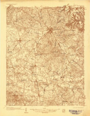
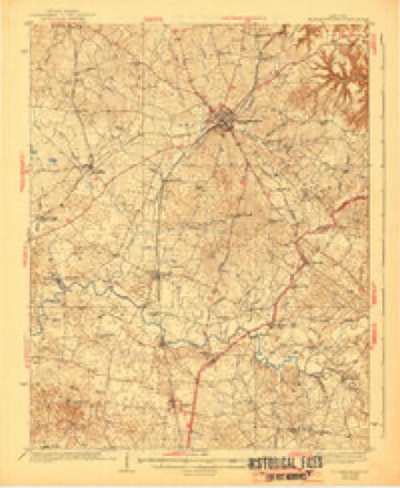
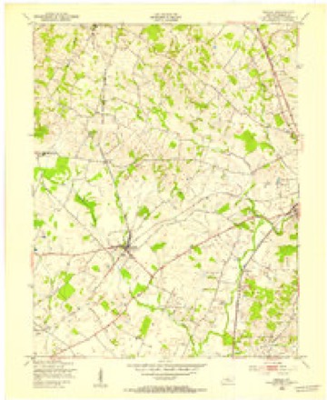
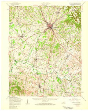
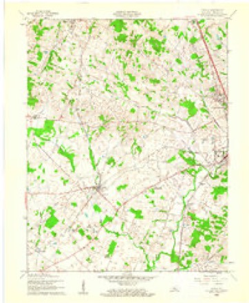
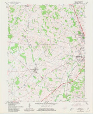
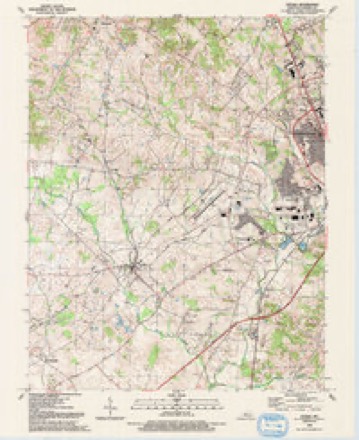
17 topographic sheets cover this place, the earliest surveyed in 1935 and the latest in 1992. It stands in the Radcliff census division. It lies in ZIP code area 42701. The Survey maps it on the Cecilia quadrangle.
Topographic sheets covering this place
10 surveys from 17 printed sheetsMatched by testing this settlement's coordinate against the published boundary of every sheet in the United States Geological Survey's historical collection. Each opens the scanned sheet at the Survey.
- 1935 USGS Elizabethtown quadrangle1:48000
- 1938 USGS Elizabethtown quadrangle1:62500, 3 printings
- 1948 USGS Cecilia quadrangle1:24000
- 1949 USGS Elizabethtown quadrangle1:62500
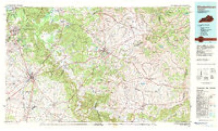
- 1957 USGS Winchester quadrangle1:250000, 3 printings
- 1960 USGS Cecilia quadrangle1:24000
- 1960 USGS Winchester quadrangle1:250000
- 1967 USGS Cecilia quadrangle1:24000, 4 printings
- 1981 USGS Elizabethtown quadrangle1:100000
- 1992 USGS Cecilia quadrangle1:24000


Fires near this place
10 since 2001Regional context, not property-specific evidence. The federal wildfire occurrence database lists 10 fires within 5 miles of Kraft between 2001 and 2012, burning about 70 acres in total. None started naturally. None was recorded as arson. Distance is straight-line from the map coordinates, so a fire counted here may appear on a neighbouring settlement's page as well.
| Reported cause | Fires |
|---|---|
| Missing data/not specified/undetermined | 4 |
| Recreation and ceremony | 3 |
| Railroad operations and maintenance | 2 |
| Debris and open burning | 1 |
The most recent of them, most recent first, with the day each was reported and the service that recorded it.
| Date | Cause | Size | Reported by | Name on the report |
|---|---|---|---|---|
| 6 September 2010 | Railroad operations and maintenance | 5.0 acres | Kentucky Division of Forestry | MOBLEY |
| 25 June 2012 | Missing data/not specified/undetermined | under an acre | Kentucky Division of Forestry | CUSTER FIR |
| 4 April 2010 | Missing data/not specified/undetermined | 1.0 acres | Kentucky Division of Forestry | not named |
| 22 April 2010 | Recreation and ceremony | 1.0 acres | Kentucky Division of Forestry | not named |
| 2 April 2010 | Recreation and ceremony | 5.0 acres | Kentucky Division of Forestry | not named |
| 28 March 2004 | Missing data/not specified/undetermined | 2.2 acres | Kentucky Division of Forestry | not named |
| 26 March 2001 | Debris and open burning | under an acre | Kentucky Division of Forestry | not named |
| 19 March 2011 | Missing data/not specified/undetermined | 10 acres | Kentucky Division of Forestry | JAMES DUVALL FIRE |
Settlements close enough to share some of these fires:
Storms near this place
2 since 2016Regional context, not property-specific evidence. The National Weather Service names Kraft in 2 storm reports between 2016 and 2018: 1 hail, 1 tornado. No death or injury is recorded in these reports. Each account below is quoted exactly as the forecast office filed it, from the NOAA Storm Events Database, and each date opens the federal record of that event.
| When | Event | Place named | Harm | What the report says |
|---|---|---|---|---|
| October 2018 | Tornado (EF1) | Kraft | $500,000 | This brief, skipping tornado touched down initially as an EF-0 near the east end of Labrador Way, in a subdivision 1.5 miles south of the Rineyville Elementary School. It did minor roof damage to two homes, tossed a trampoline into a neighboring home, causing siding damage, and pushed a large travel trailer onto a minivan, heavily damaging both. Mud was spattered onto the north-facing front of the home, where a porch column support was also moved slightly. From here it traveled east-northeast, snapping tree limbs as it skipped over mainly open pastureland until it reached Thomas Rd. ||On the west side of Thomas Road, the tornado reached its greatest intensities and size, with winds of 100 mph and a path width of 80 yards. Here it damaged four outbuildings, completely destroying two - the largest being a 30 x 50 structure. The debris pattern from the four outbuildings and nearby trees with snapped trunks and limbs showed clear cyclonic rotation. Metal roofing and siding material was scattered nearly a quarter of a mile to the east- northeast, with some of it lofted into the trees of a heavily wooded area. Other building debris from the largest structure was blown to the northwest, and the south and east-facing walls of a number of structures were spattered with leaves and other ground-based vegetation. Three east-facing garage doors of one of the outbuildings were blown in, and damage sustained to the vehicles in the driveway from downed tree limbs. Three homes in the area sustained roof and siding damage, including a 2x4 from one of the outbuildings blown through an exterior wall. ||The tornado became elevated as it continued east-northeast from Thomas Rd, snapping a few tree limbs in a wooded area before briefly touching down one last time on Rineyville Rd, where it littered the highway with tree limbs and tore the front porch off a home, vaulting the roof over the house into the back yard. Security cameras from a business next door captured the damage occurring as a wall of wind and water that occurred in less than half a minute. No further damage occurred to the east of this location as the tornado dissipated. NWS was assisted in the storm survey by Hardin County Emergency Management. |
| May 2016 | Hail | Kraft | - | no account filed |
Nearest settlements
The eight closest, with where each one stands in the county. Distances are straight-line, computed from the Geographic Names Information System coordinates.
| Map | Place | Distance | Sheets |
|---|---|---|---|
| Saint John | 1.3 miles | 17 | |
| Rineyville | 2.2 miles | 17 | |
| Cecilia | 3.6 miles | 17 | |
| Franklin Cross Roads | 4.0 miles | 17 | |
| Perryville | 4.2 miles | 17 | |
| Gaithers | 5.6 miles | 17 | |
| Hansbrough | 5.8 miles | 17 | |
| Long View | 5.9 miles | 15 |
Provenance
This settlement is recorded in the Geographic Names Information System as feature 508408. The sheet list is computed by point-in-boundary test against the United States Geological Survey's historical topographic inventory. Both are works of the United States government and carry no copyright under 17 U.S.C. 105.
Wildfire. Short, Karen C. 2022. Spatial wildfire occurrence data for the United States, 1992-2020 [FPA_FOD_20221014]. 6th Edition. Fort Collins, CO: Forest Service Research Data Archive. https://doi.org/10.2737/RDS-2013-0009.6 Collected with United States Government funding and usable without additional permissions or fees.
Storms. NOAA National Centers for Environmental Information, Storm Events Database https://www.ncei.noaa.gov/stormevents/ A work of the United States government, no copyright under 17 U.S.C. 105. Narratives are quoted verbatim from the National Weather Service report and are not edited or summarised.