 Block
Georgetown, Kentucky
12 topographic sheets cover this place, the earliest surveyed in 1906 and the latest in 1986. It stands in the Georgetown census division. It lies in ZIP code area 40324. It stands on Dry Run. The Survey maps it on the Georgetown quadrangle. 37,086 people lived here at the 2020 count. It stands 846 feet above sea level.
Research this city
On record in Georgetown
Buildings and businesses the archive holds for this place. Each opens its own page, with the source record it came from.
On the National Register 12 of 68 shown
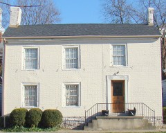 Branham Houselisted 1973
 Cantrill Houselisted 1973
 Cardomelisted 1975
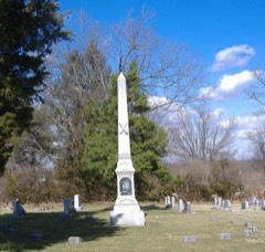 Confederate Monument in Georgetownlisted 1997
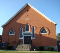 First African Baptist Church and Parsonagelisted 1984
 Garth Schoollisted 1988
 Georgetown College Historic Buildingslisted 1979
 Georgetown East Main Street Residential Districtlisted 1978
 Giddings Hall, Georgetown Collegelisted 1973
 Holy Trinity Episcopal Churchlisted 1973
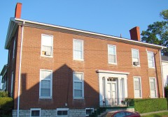 Johnston-Jacobs Houselisted 1973
 McFarland Houselisted 1973
Surveyed buildings and structures 11 records
- Claiborne Robinson House, 113 North Mulberry Street, Georgetownfederal building survey, 12 photographs
- Ed Robinson House, 214 Oregon Street, Georgetownfederal building survey, 3 photographs
- J. W. & Maggie Haywood House, 135 North Mulberry Street, Georgetownfederal building survey, 4 photographs
- Manlius Thomas House, 125 North Mulberry Street, Georgetownfederal building survey, 11 photographs
- Mary Cecil Cantrill No. 2 House, 117 North Mulberry Street, Georgetownfederal building survey, 8 photographs
- Mary Cecil Cantrill No. 3 House, 121 North Mulberry Street, Georgetownfederal building survey, 3 photographs
- Mary Cecil Cantrill No. 4 House, 218 Oregon Street, Georgetownfederal building survey, 2 photographs
- Mary Cecil Cantrill No. 5 House, 216 Oregon Street, Georgetownfederal building survey, 4 photographs
- Mary Cecil Cantrill No. 6 House, 107-108 Post Office Alley, Georgetownfederal building survey, 5 photographs
- Mary Cecil Cantrill No. 7 House, 109 Post Office Alley, Georgetownfederal building survey, 3 photographs
- North Mulberry-Oregon Street Neighborhood, 113-135 North Mulberry Street, 214-218 Oregon Street, 107-109 Post Office Alley, Georgetownfederal building survey, 1 photograph
Population over time
2 figuresGeorgetown grew from 29,098 to 37,086 between 2010 and 2020. These are the recorded population figures Wikidata holds for this place, reached through the Geographic Names Information System number this page is keyed on rather than by name, so they belong to this place and not to another of the same name. Most are census counts, but not all are: an early figure may be a founding or settlement estimate, and an estimate published within five years of a census is left out. The change column is computed, and is left blank where more than 20 years separate a figure from the one before it, because a gap that long is not a change between two counts.
| Year | People | Change |
|---|---|---|
| 2010 | 29,098 | |
| 2020 | 37,086 | +7,988 (+27%) |
Topographic sheets covering this place
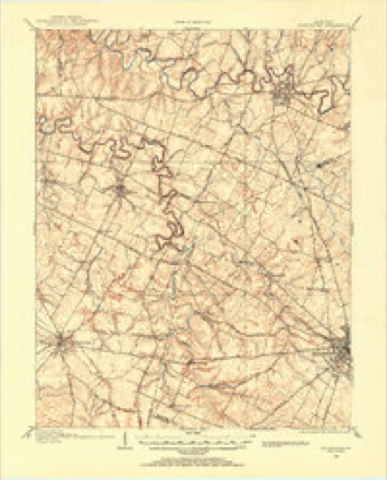
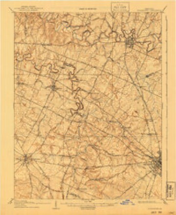
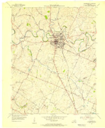
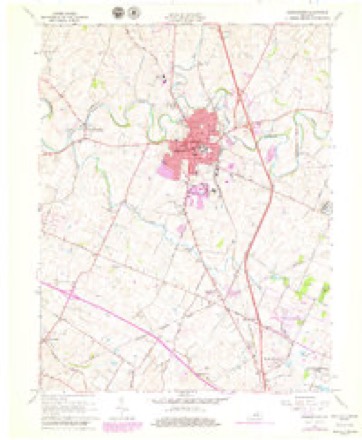
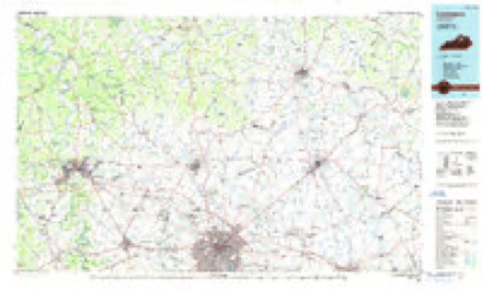
7 surveys from 12 printed sheetsMatched by testing this settlement's coordinate against the published boundary of every sheet in the United States Geological Survey's historical collection. Each opens the scanned sheet at the Survey.
- 1906 USGS Georgetown quadrangle1:62500
- 1908 USGS Georgetown quadrangle1:62500, 2 printings
- 1954 USGS Georgetown quadrangle1:24000
- 1956 USGS Louisville quadrangle1:250000, 2 printings
- 1964 USGS Louisville quadrangle1:250000
- 1965 USGS Georgetown quadrangle1:24000, 4 printings
- 1986 USGS Lexington quadrangle1:100000


What the histories say of this town
39,955 words1 chapter about Georgetown from the published histories of the county, public domain and reproduced complete.
| Chapter | From | Length |
|---|---|---|
| The B.O. Gaines History of Scott County | The B.O. Gaines History of Scott County (1905) | 39,955 words in 3 parts |
Photographs
8 of 17 photographs shown, 2020Taken for the Office of War Information and the Farm Security Administration, who photographed the country between 1935 and 1944. Works of United States government photographers, with no known restriction on use. Each opens its catalogue record.

Highsmith, Carol M, 2020. Library of Congress

Highsmith, Carol M, 2020. Library of Congress

Highsmith, Carol M, 2020. Library of Congress

Highsmith, Carol M, 2020. Library of Congress
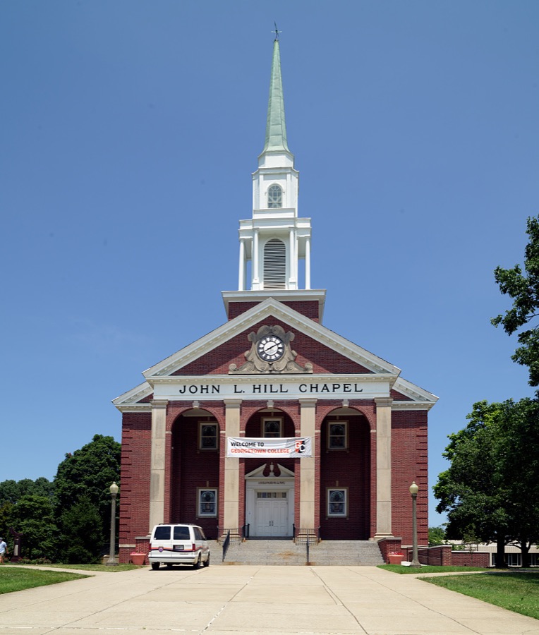
Highsmith, Carol M, 2020. Library of Congress
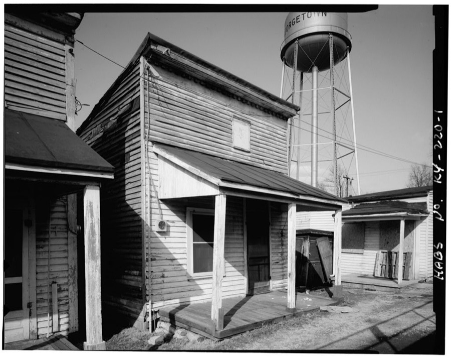
Photographer not recorded. Library of Congress
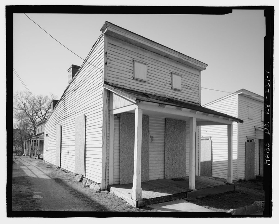
Photographer not recorded. Library of Congress
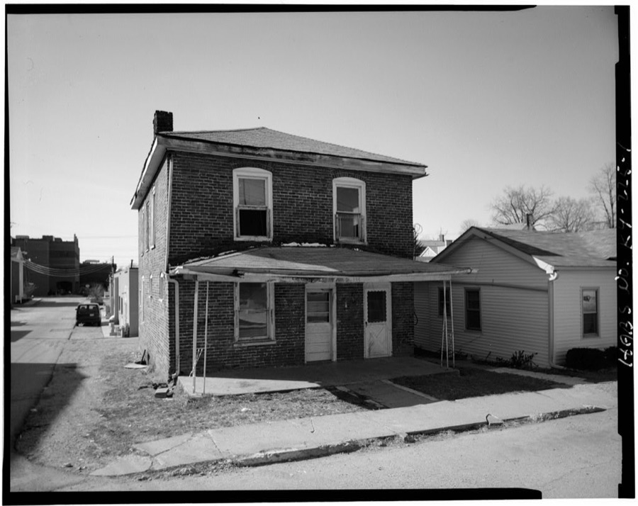
Photographer not recorded. Library of Congress
Every photograph of Scott County
Fires near this place
1 since 2010Regional context, not property-specific evidence. The federal wildfire occurrence database lists 1 fire within 5 miles of Georgetown in 2010, burning about 25 acres in total. None started naturally. None was recorded as arson. Distance is straight-line from the map coordinates, so a fire counted here may appear on a neighbouring settlement's page as well.
| Reported cause | Fires |
|---|---|
| Missing data/not specified/undetermined | 1 |
The most recent of them, most recent first, with the day each was reported and the service that recorded it.
| Date | Cause | Size | Reported by | Name on the report |
|---|---|---|---|---|
| 15 September 2010 | Missing data/not specified/undetermined | 25 acres | Kentucky Division of Forestry | CORN HOLE FIRE |
Settlements close enough to share some of these fires:
Mines and quarries near this place
3 within 5 milesRegional context, not property-specific evidence. The federal mineral resources record lists 3 workings within 5 miles of Georgetown: 2 past producers, 1 producer. 1 still produces. What was taken out: Barium-Barite, Lead, Zinc, Iron, Strontium, Sulfur. Distance is straight-line from the map coordinates, so a quarry counted here may appear on a neighbouring settlement's page as well.
| Where | Site | Commodity | Status | Recorded |
|---|---|---|---|---|
| Johnson Vein | Barium-Barite, Lead, Zinc | Past Producer | Barite, Galena, Sphalerite | |
| Nally and Gibson | Stone, Crushed/Broken | Producer | ||
| Wm. Davis Vein | Barium-Barite, Iron, Strontium, Sulfur | Past Producer | 1908 |
Storms near this place
60 of 79 shownRegional context, not property-specific evidence. The National Weather Service names Georgetown in 79 storm reports between 1995 and 2025: 46 thunderstorm wind, 15 hail, 12 flash flood, 3 lightning. No death or injury is recorded in these reports. Each account below is quoted exactly as the forecast office filed it, from the NOAA Storm Events Database, and each date opens the federal record of that event.
| When | Event | Place named | Harm | What the report says |
|---|---|---|---|---|
| May 1995 | Thunderstorm Wind | Georgetown | $500,000 | A mobile home was blown into two cars. No injuries reported by resident. |
| July 2018 | Thunderstorm Wind | Georgetown | $100,000 | A tree was blown down, a large secured outdoor tent flattened, and a metal roof peeled partially off from a hotel in Georgetown. |
| April 1996 | Thunderstorm Wind | Georgetown | $80,000 | no account filed |
| April 2007 | Thunderstorm Wind | Georgetown | $50,000 | A hotel under construction sustained some roof damage. Trees and power lines were downed county wide. |
| May 2004 | Flash Flood | Georgetown | $50,000 | Numerous streets in the city were flooded. Some homes were flooded in the Bradford subdivision. |
| May 1995 | Thunderstorm Wind | Georgetown | $50,000 | Spotter reports overturned mobile home. Also, mobile homes and cars were damaged. |
| May 2010 | Lightning | Georgetown | $20,000 | Multiple power outages were reported in the area due to lightning. |
| June 2009 | Thunderstorm Wind | Georgetown | $5,000 | A tree fell on a residence in the Georgetown area and several trees were downed throughout the county. |
| August 2006 | Thunderstorm Wind | Georgetown | $5,000 | A few trees were downed and some fences were damaged. |
| November 2000 | Thunderstorm Wind | Georgetown | $5,000 | no account filed |
| May 2014 | Lightning | Georgetown | $3,000 | The Lexington media reported that lightning struck a church steeple in Georgetown, starting a small roof fire. |
| August 2014 | Lightning | Georgetown | $2,000 | Local law enforcement reported that two houses were struck by lightning near Georgetown. The amount of any damage was unknown. |
| March 2025 | Thunderstorm Wind | Georgetown | - | A tree was down on Towson Road. |
| March 2025 | Thunderstorm Wind | Georgetown | - | The front of the Faith Baptist Church was damaged. |
| April 2025 | Flash Flood | Georgetown | - | A driver was stranded due to flooding. |
| May 2024 | Thunderstorm Wind | Georgetown | - | A tree was brought down by strong winds in Georgetown at the intersection of East Main Street and Chambers Avenue. The tree fell on power lines and across the roadway, resulting in the temporary closure of the road. |
| May 2024 | Thunderstorm Wind | Georgetown | - | Large tree limbs were brought down by strong winds on the south side of Georgetown. |
| January 2023 | Hail | Georgetown | - | Hail reported near Georgetown. Most hailstones were one-half inch in diameter, with the largest hailstones around nickel size. |
| August 2023 | Thunderstorm Wind | Georgetown | - | There were multiple reports of trees down across Georgetown and Scott County. |
| July 2022 | Thunderstorm Wind | Georgetown | - | The facade of a building collapsed downtown. |
| June 2022 | Thunderstorm Wind | Georgetown | - | A tree was down. |
| June 2022 | Thunderstorm Wind | Georgetown | - | There were trees down at a residence. |
| March 2021 | Thunderstorm Wind | Georgetown | - | There was a large tree down across Warrendale Avenue. |
| May 2020 | Hail | Georgetown | - | The media relayed a picture showing quarter sized hail. |
| August 2019 | Hail | Georgetown | - | The state agriculture commissioner reported quarter size hail. |
| August 2019 | Thunderstorm Wind | Georgetown | - | A tree was reported down at East Jackson and Cincinnati Road. |
| May 2018 | Flash Flood | Georgetown | - | Broadcast media reported that high water covered Broadway near Rucker Avenue in Georgetown, Kentucky. |
| September 2018 | Flash Flood | Georgetown | - | The road near Garth Elementary was reported flooded by a ham radio operator. |
| April 2017 | Thunderstorm Wind | Georgetown | - | State officials reported small tree limbs down. |
| June 2017 | Flash Flood | Georgetown | - | Lisle Road was flooded by at least 12 inches of water between US 25 and the railroad tracks. |
| June 2017 | Flash Flood | Georgetown | - | US Highway 460 was flooded by at least 4 feet of high water. |
| July 2015 | Thunderstorm Wind | Georgetown | - | A picture from the public was received that showed a large tree down in the Georgetown area as a result of severe thunderstorm winds. |
| August 2014 | Flash Flood | Georgetown | - | A spotter reported deep fast flowing water across divided U.S. Highway 25 along both the north and south directions south of Georgetown. |
| June 2014 | Thunderstorm Wind | Georgetown | - | The Georgetown police reported several trees down in the Georgetown area. |
| October 2014 | Hail | Georgetown | - | Baseball sized hail fell in Georgetown. |
| May 2014 | Thunderstorm Wind | Georgetown | - | A spotter reported a tree down near 1004 Lloyd Road. |
| August 2013 | Thunderstorm Wind | Georgetown | - | Several trees were downed just to the east of Georgetown. |
| January 2012 | Thunderstorm Wind | Georgetown | - | Local broadcast media reported some roof damage to a building in Georgetown. Water then damaged the interior. |
| July 2012 | Thunderstorm Wind | Georgetown | - | The public reported that some trees fell in the Bradford Place neighborhood near Georgetown. |
| July 2012 | Thunderstorm Wind | Georgetown | - | A tree was toppled by thunderstorm winds along Coleman Lane. |
| April 2011 | Heavy Rain | Georgetown | - | A CoCoRaHS spotter reported 2.83 inches of rain with 0.51 inches falling within 20 minutes. |
| April 2011 | Heavy Rain | Georgetown | - | A trained spotter reported yards in the Mallard Point neighborhood were underwater with over 3 inches of rain in the previous 24 hours. |
| April 2011 | Thunderstorm Wind | Georgetown | - | Trees were down on Paris Pike and on Newtown Pike near county fire number 4. |
| April 2011 | Thunderstorm Wind | Georgetown | - | Four trees and a power line were blown down. A trampoline was blown into a roadway. |
| April 2011 | Hail | Georgetown | - | Quarter size hail was reported on Hwy. 25 south. |
| May 2011 | Flood | Georgetown | - | Several roads were closed due to high water. |
| May 2011 | Thunderstorm Wind | Georgetown | - | Several downed trees blocked roads across the city. |
| August 2011 | Thunderstorm Wind | Georgetown | - | The public reported numerous trees down near Georgetown. A power pole was reported snapped in half. The Scott County Emergency Management reported that as many as 7000 customers were without power during the early evening hours. |
| October 2010 | Thunderstorm Wind | Georgetown | - | A tree was blown down on a house. |
| February 2009 | Thunderstorm Wind | Georgetown | - | Several buildings were reported to have had roof damage. |
| August 2009 | Flash Flood | Georgetown | - | Several roads were impassable with one to two feet of flowing water over them just north of Georgetown. |
| June 2008 | Thunderstorm Wind | Georgetown | - | A few trees reported down on Newton Pike. |
| July 2008 | Thunderstorm Wind | Georgetown | - | Trees and power lines were downed all over Scott County. |
| August 2007 | Thunderstorm Wind | Georgetown | - | Trees were downed across the county. |
| June 2007 | Thunderstorm Wind | Georgetown | - | Downed trees were blocking several roads. |
| August 2007 | Thunderstorm Wind | Georgetown | - | Trees and power lines were downed. |
| April 2006 | Thunderstorm Wind | Georgetown | - | A storm spotter estimated a 70 MPH wind gust. |
| July 2006 | Flash Flood | Georgetown | - | High water was reported on North Broadway near Payne, and on South Broadway near Garth. |
| September 2006 | Flash Flood | Georgetown | - | Several roads were closed due to high water. |
| June 2003 | Flash Flood | Georgetown | - | Parts of Sims Road were impassable due to high water. |
Nearest settlements
The eight closest, with where each one stands in the county. Distances are straight-line, computed from the Geographic Names Information System coordinates.
| Map | Place | Distance | Sheets |
|---|---|---|---|
| Indian Hills | 0.7 miles | 12 | |
| Clabber Bottom | 2.1 miles | 12 | |
| Great Crossing | 2.5 miles | 12 | |
| Stone Hedge Estates | 2.7 miles | 12 | |
| Herdon | 2.9 miles | 12 | |
| Shiff | 2.9 miles | 12 | |
| Peak | 3.6 miles | 12 | |
| Lancelot Estates | 3.9 miles | 12 |
Elsewhere
Matched on this settlement's Geographic Names Information System number rather than its name, so it cannot be a different place of the same name in another state.
| Wikipedia article on Georgetown | An encyclopaedic summary. Its text is share-alike, so it is linked here rather than copied. |
| Wikidata item Q877247 | The structured record the population and elevation above come from. Public domain (CC0). |
Provenance
This settlement is recorded in the Geographic Names Information System as feature 492790. The sheet list is computed by point-in-boundary test against the United States Geological Survey's historical topographic inventory. Both are works of the United States government and carry no copyright under 17 U.S.C. 105.
Wildfire. Short, Karen C. 2022. Spatial wildfire occurrence data for the United States, 1992-2020 [FPA_FOD_20221014]. 6th Edition. Fort Collins, CO: Forest Service Research Data Archive. https://doi.org/10.2737/RDS-2013-0009.6 Collected with United States Government funding and usable without additional permissions or fees.
Mines and quarries. USGS Mineral Resources Data System (MRDS) https://mrdata.usgs.gov/mrds/ A work of the United States government, no copyright under 17 U.S.C. 105.
Storms. NOAA National Centers for Environmental Information, Storm Events Database https://www.ncei.noaa.gov/stormevents/ A work of the United States government, no copyright under 17 U.S.C. 105. Narratives are quoted verbatim from the National Weather Service report and are not edited or summarised.