83 National Register listings published here · the county-history sources tell 2 stories and name 20 people · people the book names include Thos. S. Barkley (Georgetown, 1905) · Thos. J. Burgess (Sadieville, 1905) (machine-read).
Kentucky within the United StatesScott County within Kentucky
What the record shows
3 places in this county were surveyed for fire insurance: Georgetown, Sadieville, Stamping Ground, between 1886 and 1945.
15 fire insurance atlases survive for the county. Topographic coverage is national; fire insurance survey reached only incorporated places with something worth insuring.
401 topographic sheet readings cover the county's settlements.
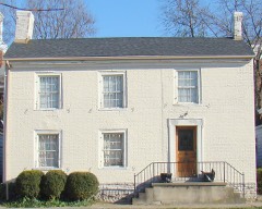
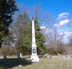
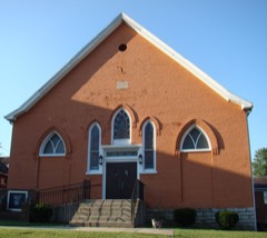
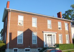
83 properties here are on the National Register of Historic Places: 67 buildings, 14 districts, 1 object and 1 site.
52 of the 83 listings were added during the 1970s.
The Geographic Names Information System records 38 populated places in this county; 38 are covered by at least one topographic sheet.
What happened here
2 accounts
Among them: The First Druggist The Merchants Of 1846; Able Lawyers Become Distinguished. These passages come from the
identified county-history source books. Each inset names its own source
and opens the exact section it comes from.
The scare of smallpox fifty-eight years ago in Georgetown was as great, if not greater, than it is now. The Frankfort Yeoman reported that all the stores of Georgetown were closed on account of the prevailing dreadful disease. The Herald denies this, but admits that the majority of the women and children had removed from town.
Hmt devout Baptist divine, Silas M. Noel, each began life as members of this bar along back in the early part of this century. To this era may also be added the Flourneys (Notley and General Thomas C.) the latter famous in murder trials, and, if living now, would be an ardent Prohibitionist, as he was then a temperance orator.
Taken for the Office of War Information and
the Farm Security Administration, who photographed the country between
1935 and 1944. Works of United States government photographers, with no
known restriction on use. Each opens its catalogue record.
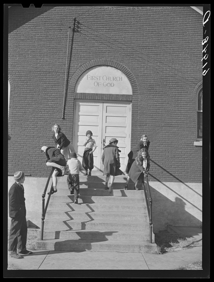
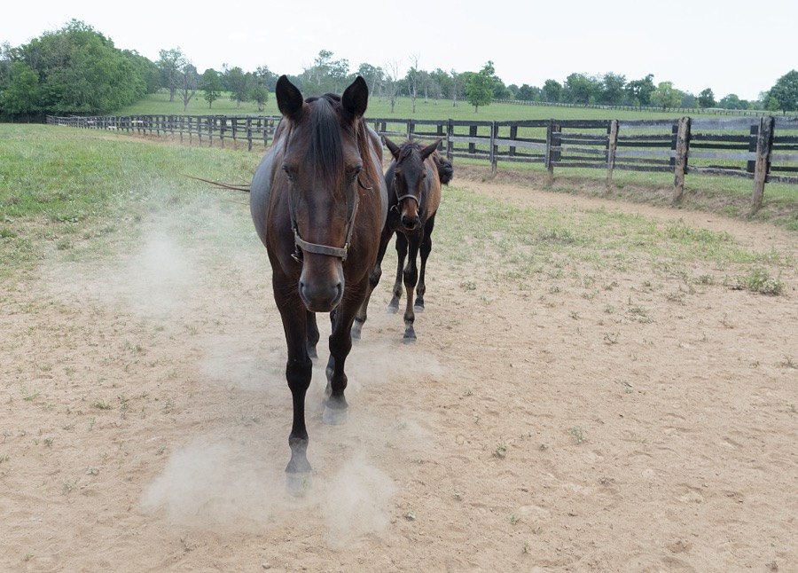
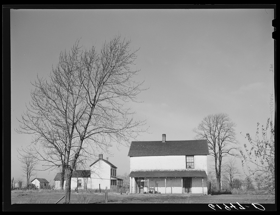
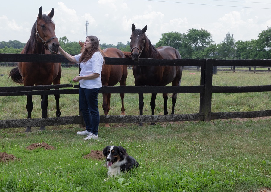
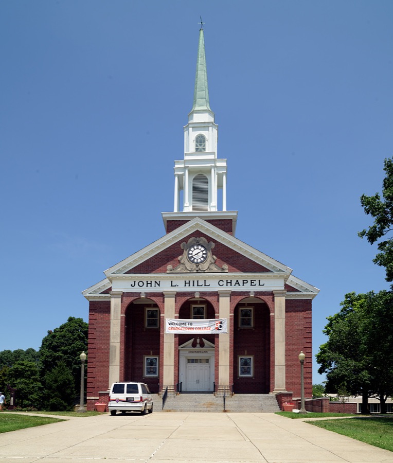
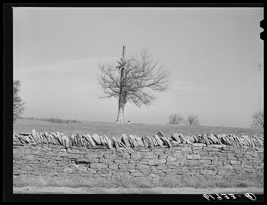
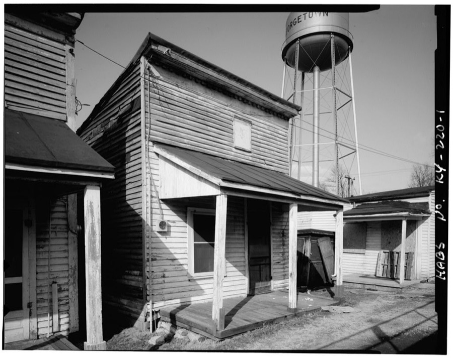
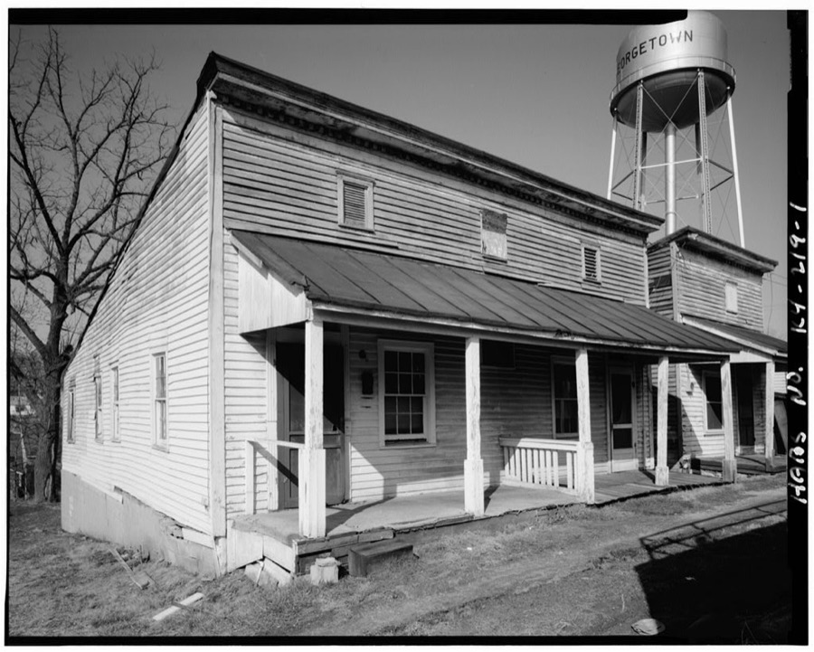
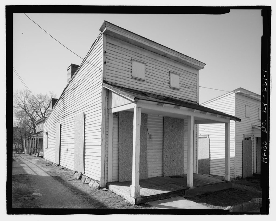
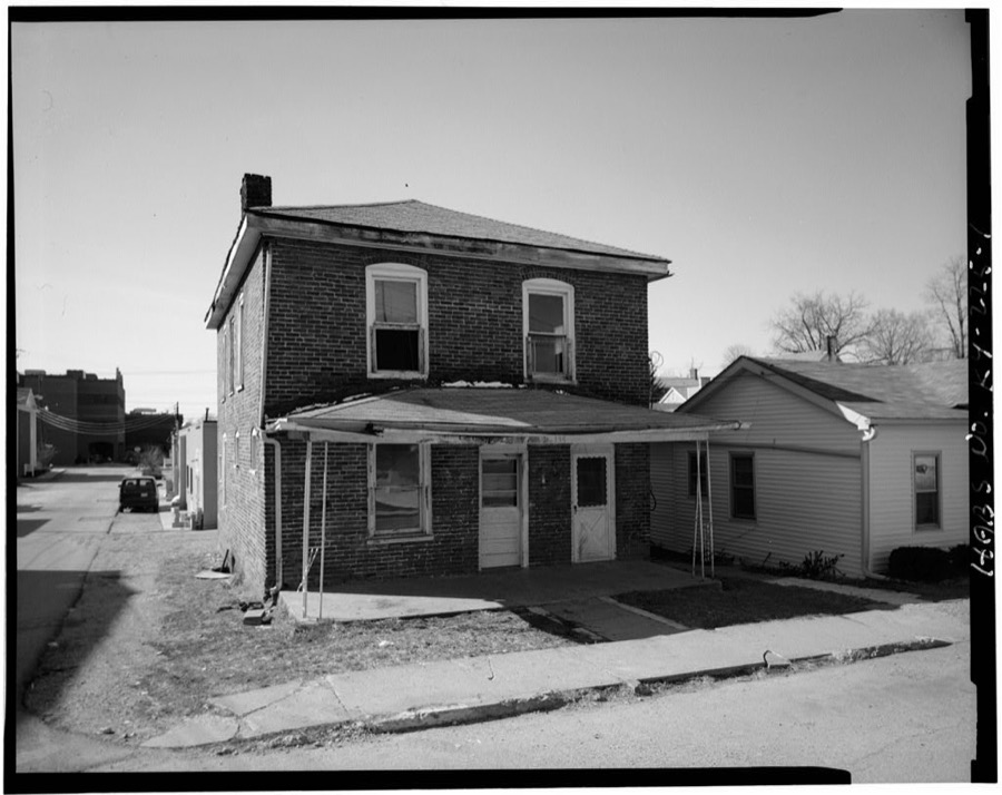
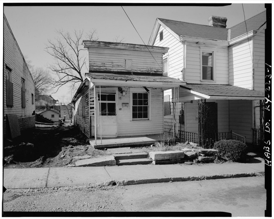
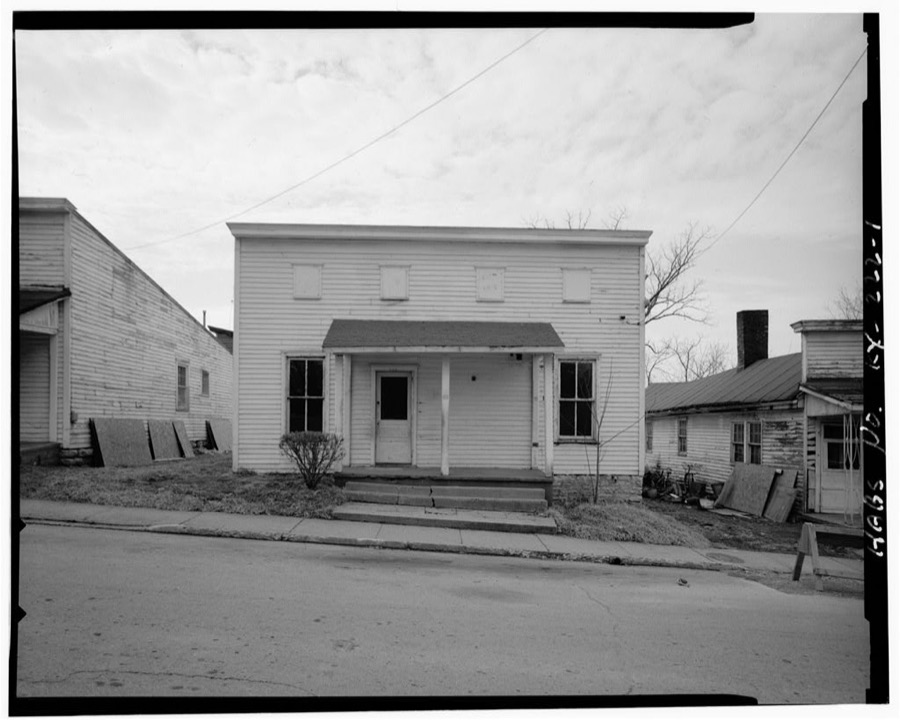
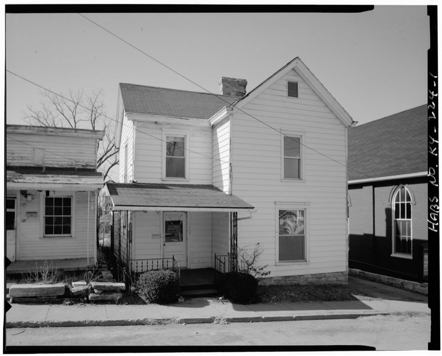
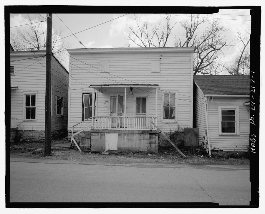
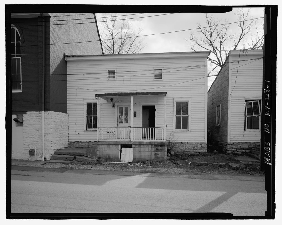
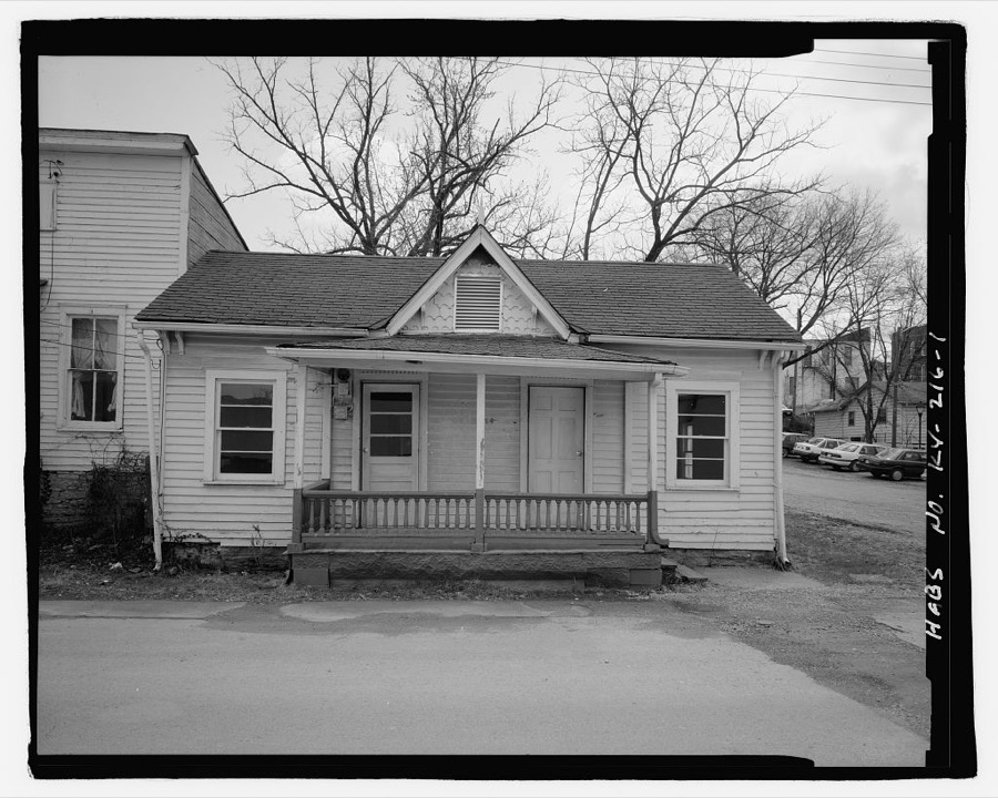
Lexington, Kentucky Vachon, John, 1940. Library of CongressA figure of the allegorical Lady Justice above the entrance to the Scott County Courthouse in Georgetown, Kentucky Highsmith, Carol M, 2020. Library of CongressStandardbred horses at Cane Run Farm, a breeding farm for Standardbred horses near Georgetown, Kentucky Highsmith, Carol M, 2020. Library of CongressStandardbred horses at Cane Run Farm, a breeding farm for Standardbred horses near Georgetown, Kentucky Highsmith, Carol M, 2020. Library of CongressThe Slainte Public House, built in 1797 as a private dwelling and converted to a public house, or tavern, in 1837 in Georgetown, Kentucky Highsmith, Carol M, 2020. Library of CongressOld farmhouses. Scott County, Kentucky Vachon, John, 1940. Library of CongressOwner Fredericka Van Lennep Caldwell nuzzles a mare at Cane Run Farm, a breeding farm for Standardbred horses near Georgetown, Kentucky, while her Australian shepherd, Scout, takes a break Highsmith, Carol M, 2020. Library of CongressThe John L. Hill Chapel on the campus of Georgetown College in Georgetown, Kentucky Highsmith, Carol M, 2020. Library of CongressStandardbred horses at Cane Run Farm, a breeding farm for Standardbred horses near Georgetown, Kentucky Highsmith, Carol M, 2020. Library of CongressStone fence. Scott County, Kentucky Vachon, John, 1940. Library of CongressMary Cecil Cantrill No. 7 House, 109 Post Office Alley, Georgetown, Scott County, KY Photographer not recorded. Library of CongressMary Cecil Cantrill No. 6 House, 107-108 Post Office Alley, Georgetown, Scott County, KY Photographer not recorded. Library of CongressClaiborne Robinson House, 113 North Mulberry Street, Georgetown, Scott County, KY Photographer not recorded. Library of CongressJ. W. & Maggie Haywood House, 135 North Mulberry Street, Georgetown, Scott County, KY Photographer not recorded. Library of CongressMary Cecil Cantrill No. 3 House, 121 North Mulberry Street, Georgetown, Scott County, KY Photographer not recorded. Library of CongressMary Cecil Cantrill No. 2 House, 117 North Mulberry Street, Georgetown, Scott County, KY Photographer not recorded. Library of CongressManlius Thomas House, 125 North Mulberry Street, Georgetown, Scott County, KY Photographer not recorded. Library of CongressMary Cecil Cantrill No. 5 House, 216 Oregon Street, Georgetown, Scott County, KY Photographer not recorded. Library of CongressMary Cecil Cantrill No. 4 House, 218 Oregon Street, Georgetown, Scott County, KY Photographer not recorded. Library of CongressEd Robinson House, 214 Oregon Street, Georgetown, Scott County, KY Photographer not recorded. Library of Congress
Places on the National Register
83
Every property in this county listed on the
National Register of Historic Places, with the year it was listed and the
federal nomination document.
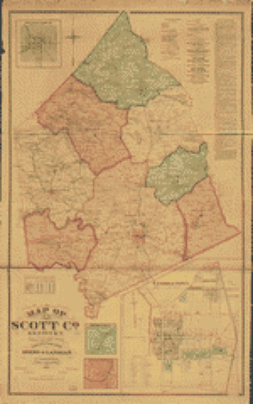
Drawn when these were printed as
single large sheets: the town seen from the air, and the county
divided into its farms with every owner named. Each opens the
original at the Library of Congress.
Land ownership map (1879) - Map of Scott Co., Kentucky. Library of Congress.
Photographs from libraries nationwide
2 shown
Selected from the Digital Public Library
of America's 2 image records catalogued for this county. Every
one shown here carries a public-domain status or a licence that permits
reuse on a site that carries advertising; non-commercial, share-alike
and restricted images are excluded. The selection is spread across the
county's towns (at most eight per town), so no single institution's
bulk upload crowds out the rest. Each opens the holding library's
record, and
the complete set at the
Digital Public Library of America is one click away.
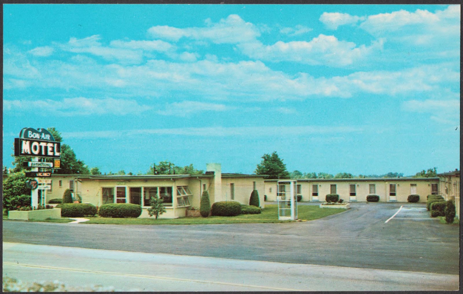
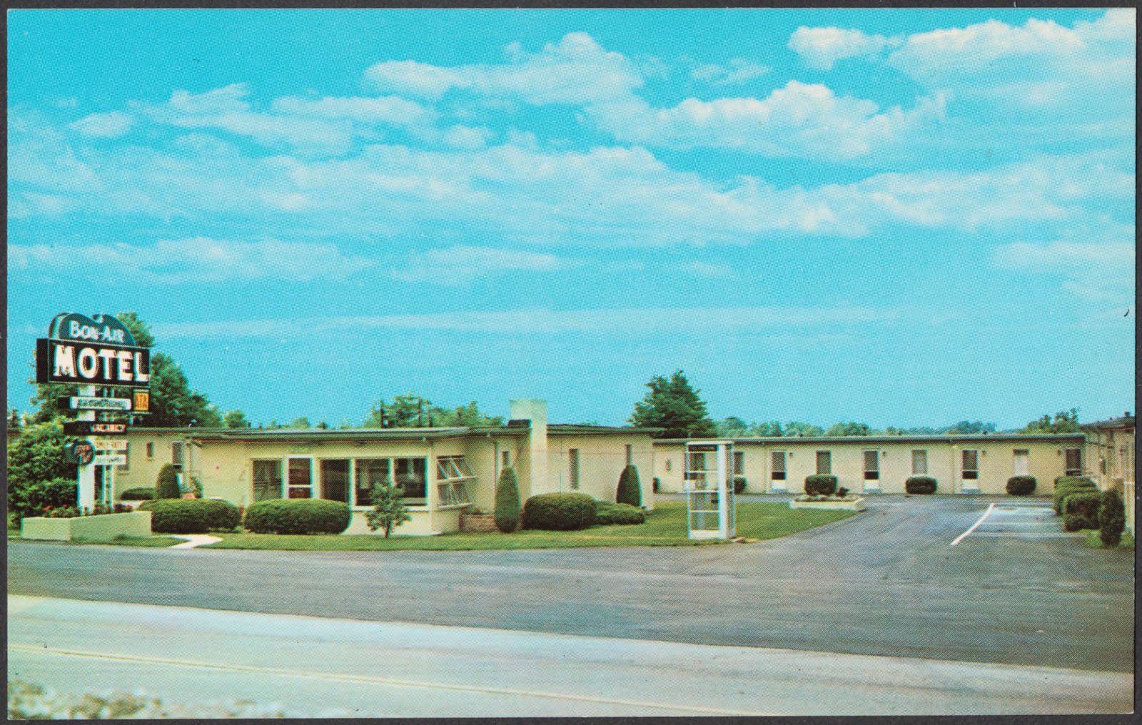
Bon Air Motel 1/2 mile south of Georgetown, Ky. on U.S. Route 25. Boston Public Library, via the Digital Public Library of America.Bon Air Motel 1/2 mile south of Georgetown, Ky. on U.S. Route 25. Boston Public Library, via the Digital Public Library of America.
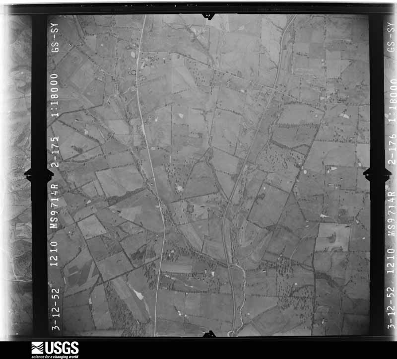
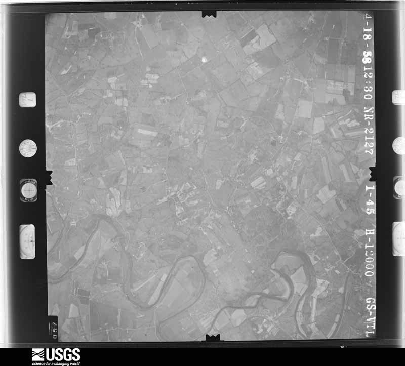
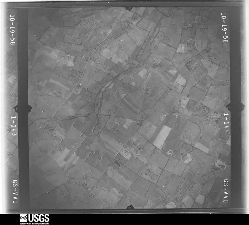
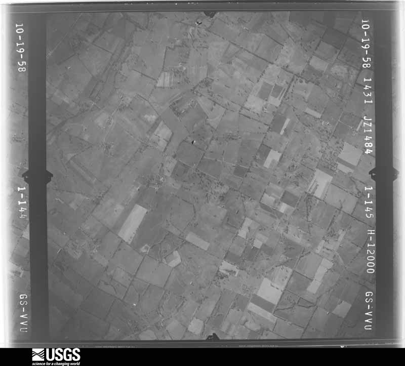
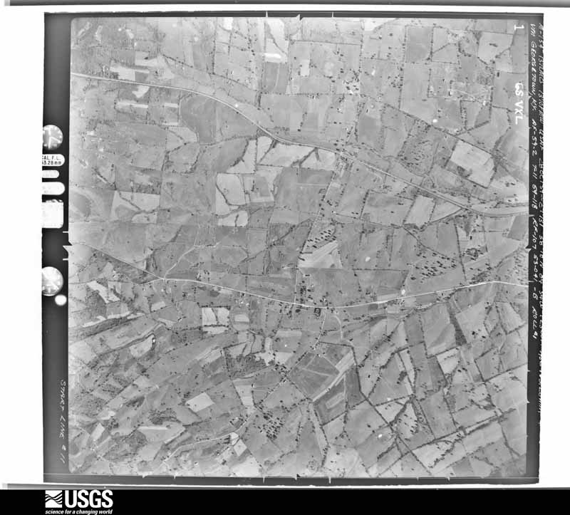
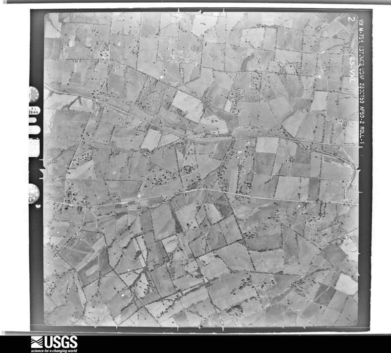
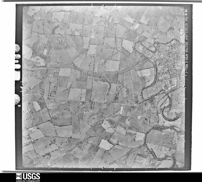
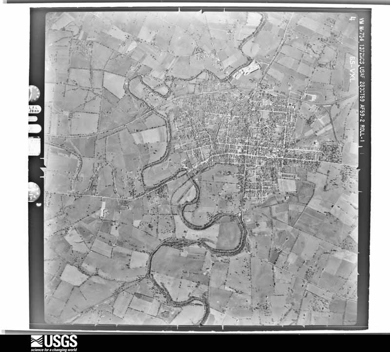
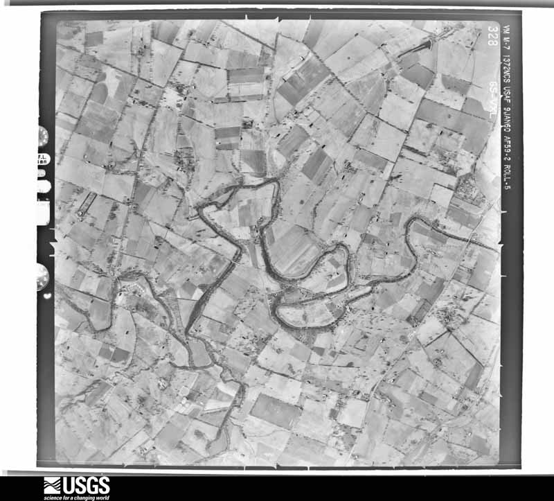
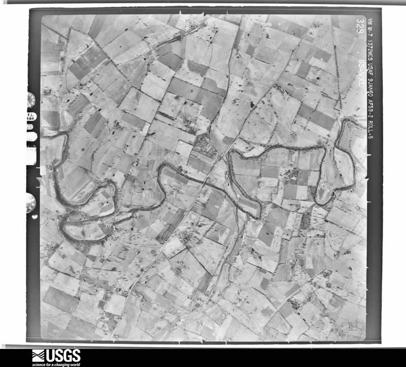
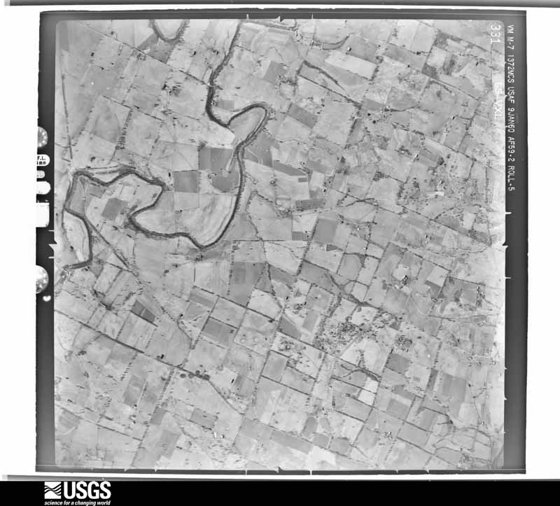
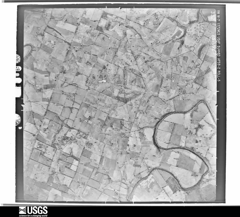
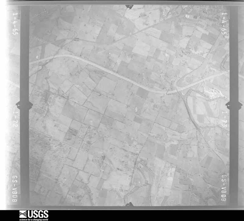
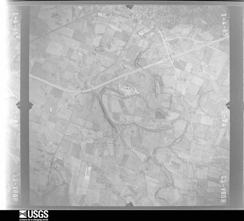
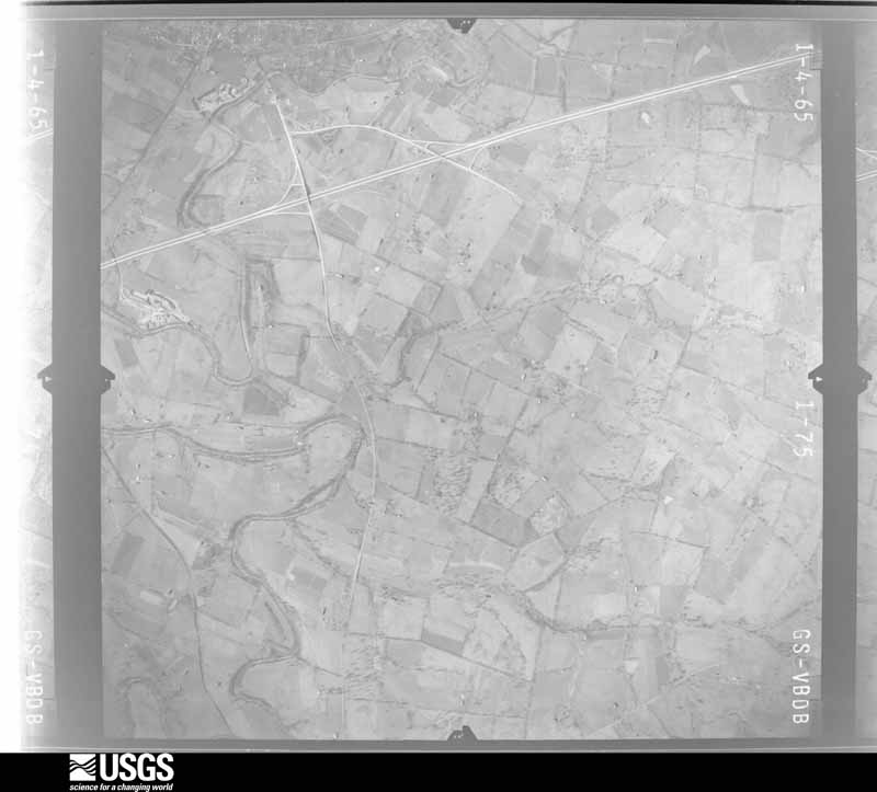
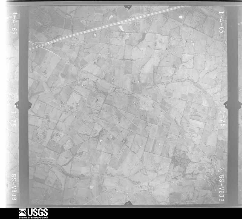
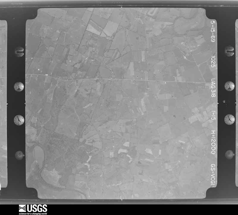
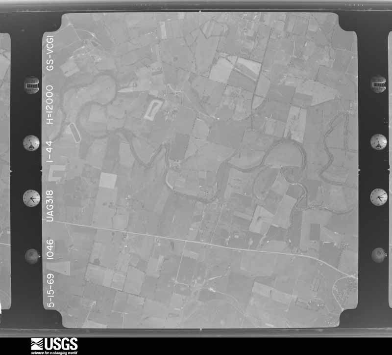
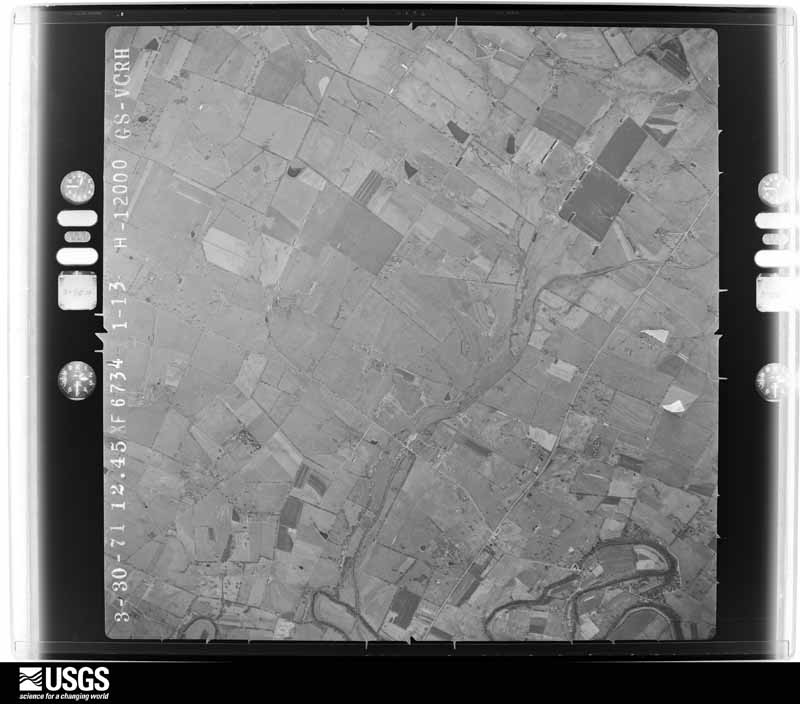
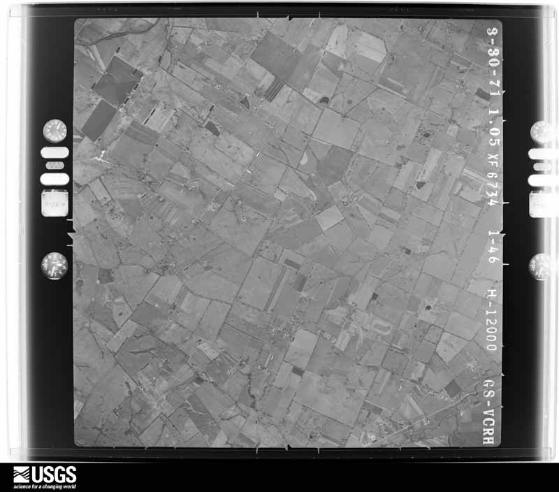
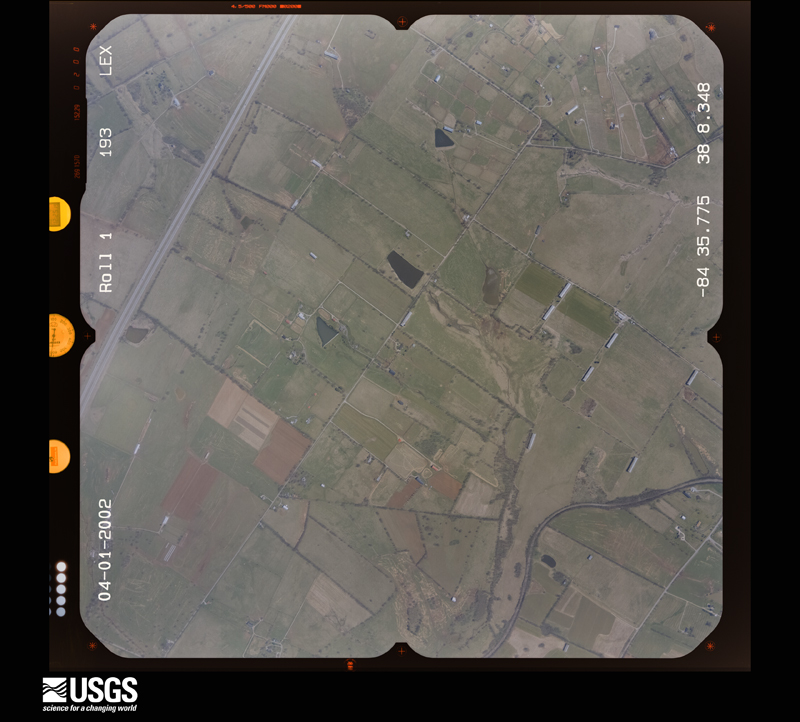
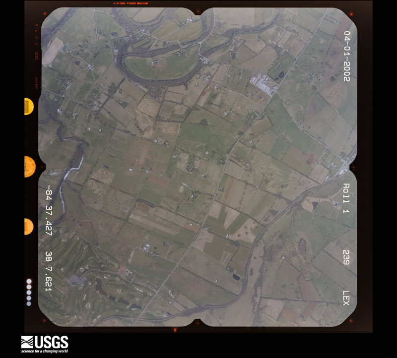
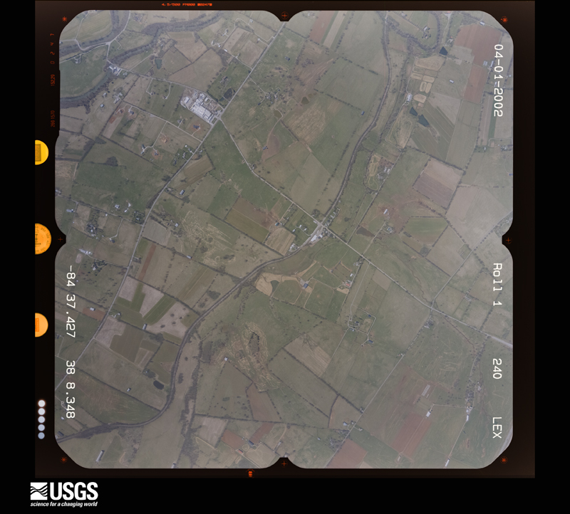
The county from the air
28 shown
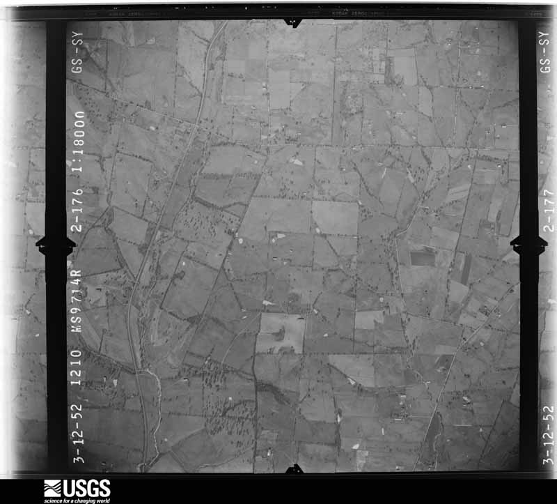
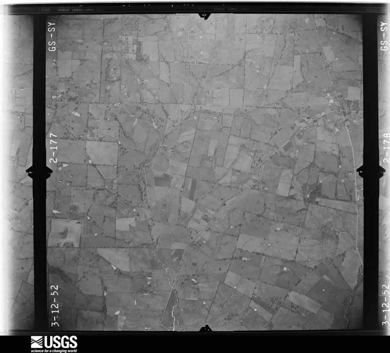
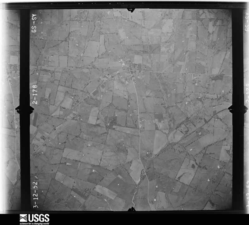
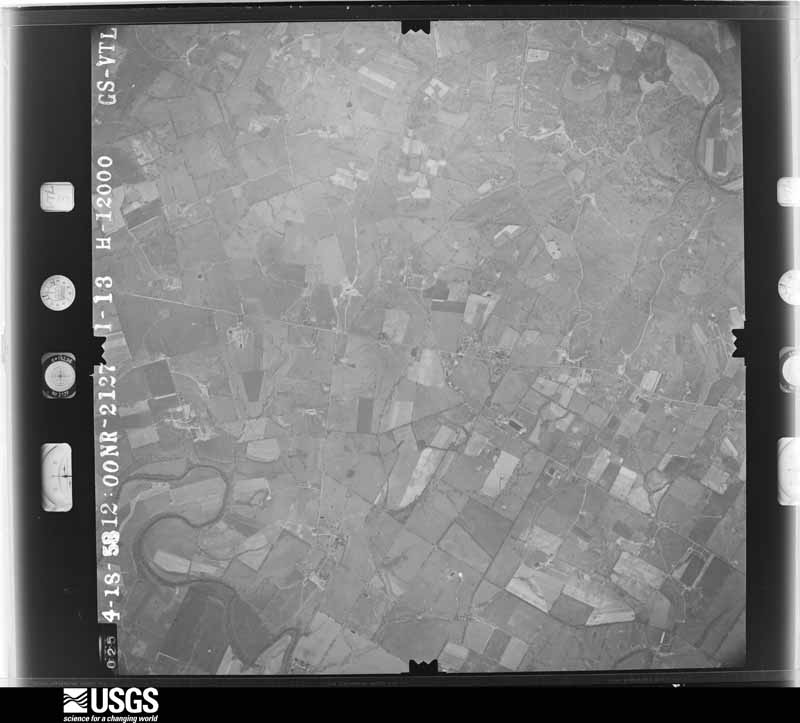
Flown by the U.S. Geological Survey
between 1937 and 1989, the Aerial Photo Single Frames collection is
the definitive mid-century view of the land: fields, roads and rivers
as the camera saw them. The Survey holds 859 frames inside the
rectangle that bounds this county; the 28 frames below were taken over
the county itself, chosen across the decades of flights (at most four
a year from that rectangle), so one flight cannot crowd out the rest.
The full set is free to browse and download at
EarthExplorer under the dataset Aerial Photo Single
Frames.
1952-03-01, scale 1:18000. U.S. Geological Survey aerial photograph.1952-03-01, scale 1:18000. U.S. Geological Survey aerial photograph.1952-03-01, scale 1:18000. U.S. Geological Survey aerial photograph.1952-03-01, scale 1:18000. U.S. Geological Survey aerial photograph.1958-04-01, scale 1:24000. U.S. Geological Survey aerial photograph.1958-04-01, scale 1:24000. U.S. Geological Survey aerial photograph.1958-10-01, scale 1:24000. U.S. Geological Survey aerial photograph.1958-10-01, scale 1:24000. U.S. Geological Survey aerial photograph.1959-10-28, scale 1:24000. U.S. Geological Survey aerial photograph.1959-10-28, scale 1:24000. U.S. Geological Survey aerial photograph.1959-10-28, scale 1:24000. U.S. Geological Survey aerial photograph.1959-10-28, scale 1:24000. U.S. Geological Survey aerial photograph.1960-01-09, scale 1:24000. U.S. Geological Survey aerial photograph.1960-01-09, scale 1:24000. U.S. Geological Survey aerial photograph.1960-01-09, scale 1:24000. U.S. Geological Survey aerial photograph.1960-01-09, scale 1:24000. U.S. Geological Survey aerial photograph.1965-02-15, scale 1:24000. U.S. Geological Survey aerial photograph.1965-02-15, scale 1:24000. U.S. Geological Survey aerial photograph.1965-02-15, scale 1:24000. U.S. Geological Survey aerial photograph.1965-02-15, scale 1:24000. U.S. Geological Survey aerial photograph.1969-06-17, scale 1:24000. U.S. Geological Survey aerial photograph.1969-06-17, scale 1:24000. U.S. Geological Survey aerial photograph.1969-06-17, scale 1:24000. U.S. Geological Survey aerial photograph.1971-04-30, scale 1:24000. U.S. Geological Survey aerial photograph.1971-04-30, scale 1:24000. U.S. Geological Survey aerial photograph.2002-04-01, scale 1:15000. U.S. Geological Survey aerial photograph.2002-04-01, scale 1:15000. U.S. Geological Survey aerial photograph.2002-04-01, scale 1:15000. U.S. Geological Survey aerial photograph.
Weather records
20 stations, 4 gages
The thermometers that kept this county's weather, and the gages that measured the flow of its streams, as the federal records hold them.
Who lived here in 1950, one enumeration
district at a time, as the Census Bureau described each district.
Each row opens its official National Archives result, with Population
Schedules and ED Maps available there.
105-1Magisterial District 1: Georgetown city: Georgetown city - That part Bounded by City limits; City limits; Main; Chambers Ave.
105-2Georgetown city - That part Bounded by City limits; Chambers Ave.; Main; Hamilton, Delgaris
105-3Georgetown city - That part Bounded by City limits; City limits, Delgaris, Hamilton; Main; Broadway, Cincinnati Pike
105-4Georgetown city - That part Bounded by City limits; Cincinnati Pike, Broadway; Clinton; City limits
105-5Georgetown city - That part Bounded by Clinton; Broadway; City limits; City limits
105-6Georgetown city - That part Bounded by Main; Giddings Dr., College, Mulberry, Jackson, Dudley Ave., Clayton Ave., Second; City limits; Broadway
105-7Georgetown city - That part Bounded by Main; City limits; City limits; Second, Clayton Ave., Dudley Ave., Jackson, Mulberry, College Giddings Dr.
105-8Magisterial District 1 - That part northwest of U.S. Hwy. 62 and north of U.S. Hwy. 227 and State Hwy. 40, outside Georgetown city, excluding Cardome, Academy of the Visitation (Sisters of the Visitation of Holy Mary)
105-9Cardome, Academy of the Visitation (Sisters of the Visitation of Holy Mary) (In Magisterial District 1)
105-10Magisterial District 1 - That part south of U.S. Hwy. 227 and State Hwy. 40, west of U.S. Hwy. 25, outside Georgetown city
105-11Magisterial District 1 - That part southeast of U.S. Hwy. 62 and east of U.S. Hwy. 25, outside Georgetown city
105-22Magisterial District 7: Magisterial District 7 - That part north of U.S. Hwy. 62
105-23Magisterial District 7 - That part south of U.S. Hwy. 62
Wildfire,
1999 to 2010
11 fires
Every wildfire the federal occurrence
database records inside this county: 11 of them, burning
about 95 acres. None started naturally and 1 was recorded as arson. Each settlement page carries the fires within
five miles of it.
Reported cause
Fires
Missing data/not specified/undetermined
5
Debris and open burning
3
Arson/incendiarism
1
Recreation and ceremony
1
Railroad operations and maintenance
1
The five largest, by the area the report
gives. One of them was set deliberately.
Date
Cause
Size
Reported by
Name on the report
15 September 2010
Missing data/not specified/undetermined
25 acres
Kentucky Division of Forestry
CORN HOLE FIRE
8 March 2006
Missing data/not specified/undetermined
21 acres
Kentucky Division of Forestry
not named
8 March 2009
Debris and open burning
20 acres
Kentucky Division of Forestry
not named
6 September 2010
Debris and open burning
9.0 acres
Kentucky Division of Forestry
BARN BURNER FIRE
29 February 2004
Missing data/not specified/undetermined
7.0 acres
Kentucky Division of Forestry
not named
10 November 1999
Missing data/not specified/undetermined
4.0 acres
Kentucky Division of Forestry
not named
18 March 2009
Debris and open burning
3.0 acres
Kentucky Division of Forestry
not named
9 February 2001
Arson/incendiarism
2.0 acres
Kentucky Division of Forestry
not named
Every settlement page carries the fires within five
miles of it - see the settlement index below.
Storms,
1950 to 2026
60 of 296 shown
The
NOAA Storm Events Database holds
296 reports for this county, causing 1 death, 70 injuries and about $7,993,000 in recorded property damage.
Each settlement page carries the reports that name it.
Kind of event
Reports
Thunderstorm Wind
171
Flash Flood
53
Hail
35
Tornado
16
Flood
13
Lightning
5
Heavy Rain
3
The most serious of them, by death, then
injury, then recorded damage. The accounts are quoted exactly as the
forecast office filed them.
On February 17, a man was found deceased in his truck off of Davis Road, near Sadieville. It is believed by the coroner's office that the man's truck was washed off the road and into a ravine by floodwater late on February 15, but the exact time is unknown. Value and damage to vehicle is unknown.
The National Weather Service in Louisville, Kentucky conducted a storm survey in Scott County, Kentucky of storm damage that occurred early Monday morning.||The survey team determined that a tornado touched down just southwest of the Parkers Mobile Home Park in Stamping Ground. The initial touchdown was in a wooden fenced area with uprooted trees and significant damage to the wooden fence. Wind speeds were estimated to be between 80 and 85 mph initially.||The tornado increased in speed and diameter, striking the mobile home park causing|significant damage. Trailers were lifted off their foundation, some trailers were flipped|over and or turned in a different direction. Insulation and metal siding from the trailers|were thrown up into the trees. Deck pieces were thrown and impaled into the ground, trees were twisted and snapped, and numerous air conditioner units were thrown several feet. The tornado increased to around 95 mph with a width of 60 yards.||The most obvious signs of a tornado were outbuildings were picked up and thrown upwind, with insulation on both sides of the buildings.||The damage direction from the trees, and insulation from mobile homes ranged north to southeasterly.||The tornado became more of a skipping tornado as it moved to the east with the last damage being some power poles and trees at the corner of Edgewood Way and 227.||Just east of Stamping Ground, the survey team found a significant area of straight line winds along Duvall Station Road. A third of a mile swath of concentrated wind damage occurred 2 miles east of Stamping Ground.||It started out in a grove of trees with large branches and trees knocked down all facing from the southwesterly to the east northeast direction. Wind speeds were estimated initially to be 65 to 70 mph. A well constructed barn had its roof panels ripped off and doors blown in. Metal sheeting from the barn was thrown up to 500 yards down wind. Two other barns on the other side of the road had similar damage. Shingles from two family homes were thrown a hundred yards. Wind speeds from the well constructed barn, were determined to be 80 mph. The damage area was about a quarter mile by a third of a mile.||The National Weather Service would like to thank Scott county emergency manager Mike Hennigan for his assistance with the survey.
The NWS in conjunction with Scott County Emergency Management found significant straight line wind damage 2 miles northeast of Stamping Ground. Maximum estimated winds were 80 mph. A large 100 foot by 100 foot well built barn was picked up and destroyed. The sheet metal from the barn was thrown nearly half a mile downwind to the east. Several trees were snapped or uprooted, especially at Long Lick Road. Several wood pieces of the barn were thrown several hundred yards and impaled the ground. The survey continued into Georgetown to Tripoint Road. A factory warehouse had significant roof and siding damage from 65 to 70 mph. Overall path length was 1 mile and the maximum width was a third of a mile.
The Scott County Emergency Manager reported that severe thunderstorm winds turned over a semi truck on Interstate 75. Also, multiple outbuildings were flattened along with several trees down.
This rural EF-1 tornado touched down around one quarter of a mile northwest of the intersection of Glass and Sulphur Wells Road where it snapped several hardwood trees. Winds with this initial damage ranged from 70-107 mph. The tornado then moved southeast where more trees were snapped and an outbuilding was destroyed. As the tornado neared the end of its path a couple of small barns were destroyed with winds estimated from from 90 and 107 mph. At the end of the path, a couple of homes sustained roof damage, in addition to continued tree damage. The tornado lifted just east of Cincinnati Road, about 4 miles NNW of|Georgetown.
Straight line winds around 70 mph downed large trees, destroyed a barn, damaged tractors, and a home located at 2823 Stamping Ground Road.||On White Oak Road, numerous trees were blown down and one fell on a house. Power lines and some fencing were also knocked down and a barn was blown over.||Numerous buildings were damaged with trees and power lined downed near the intersection of Seebee Road and HWY 227.
An NWS storm survey confirmed an EF-1 tornado with winds up to 95 mph touched down in an open field northeast of Georgetown and moved quickly east, overturning a tied-down trailer and destroying or damaging several outbuildings. After passing over Leesburg Road, the tornado buckled the brick garage wall of a well built home and snapped several tres along a fence line before dissipating.
The tornado touched down at 338 Soards Road and moved east, lifting as it began to cross a pond. A well-anchored 50 by 20 three bay barn was destroyed and scattered in three directions. Another small barn was destroyed, with damage to a third structure. Numerous trees were blown down, snapped or uprooted. Fences were blown over.
Up to 8 inches of rain fell over Scott County in about a three and a half hour period. Highway 32 in and around Sadieville was flooded at 0900 EST. Oxford had flooding around 1000 EST. Most roads in Eastern Scott County were flooded around 1030 EST. At least five homes in the county were flooded. Five people were evacuated from homes and several more were evacuated from vehicles.
A NWS Storm Survey team found barn and tree damage due to severe thunderstorm winds. The metal sheeting was blown away 400 yards. Winds were estimated to be around 70 mph.
The tornado touched down in Owen County south of the|intersection of Leaning Oak Road and Dudley Pike. The storm quickly|crossed into Scott County and struck North Rays Fork Road where it|snapped and uprooted trees. The tornado had a total path length of 4.1 miles, of which 3.6 miles lay in Scott County. Moving to the east southeast, tree|damage was found along South Rays Fork Road east of Stonewall. The|tornado lifted just west of the Harrison County line. The only|structural damage along the path was to a home near the top of a|small hill close to the end of the path. The porch roof was ripped|from the home and thrown over the building, with significant roof|damage. Also, an above-ground pool was destroyed.
The supercell storm that later dumped large hail across northern Lexington downed trees and partially tore a roof off of a home 4 miles east of Midway.
Windows were blown out of buildings in the Georgetown area. An 80 foot tall restaurant sign was blown down near Interstate 75 at mile marker 126. Trees were downed countywide.
Mines and
quarries
3 recorded
The Survey's mineral resources record
lists 3 workings inside this county. 1 still produces and 2 are closed or unrecorded. Each
settlement page carries the workings within five miles of it.
Commodity
Workings
Barium-Barite
2
Lead
1
Zinc
1
Iron, Strontium, Sulfur
1
Stone, Crushed/Broken
1
The least common of them first, because a
county's hundredth gravel pit says nothing its first ten did not.
One book written about this county, cut here
where the book itself is cut, at its printed chapters: 1 chapter in all.
Every chapter is public domain, machine-read from the scan and
reproduced complete. A chapter already given under one of the county's
towns is not repeated in this list.
Everyone The B.O. Gaines History of Scott County stops to write about, with
the section that describes them. Among them are the men who founded the
place and governed the Territory. Each name opens the passage itself, in
the words of 1905.
Named settlements recorded in the Geographic Names
Information System, each with the topographic sheets covering it. Villages,
hamlets and abandoned places alike. Each is shown with the nearest named
watercourse or landform and the survey quadrangle it falls on. The 3 places that were also surveyed for fire insurance come first, with the number of atlases and photographs held for them.
The complete index, with nothing left out.
Each of these is a separate record with its own page: a federal survey
report, or the case file that argued a property on to the National
Register. Both are public domain and reproduced word for word.
Topographic sheets. USGS Historical Topographic Map Collection, county index, measured from the bulk metadata.
Fire insurance maps. Library of Congress Sanborn collection, faceted to this county.
Photographs. Each place queried individually against the Library of Congress Prints and Photographs search.
Wildfire. Short, Karen C. 2022. Spatial wildfire occurrence data for the United States, 1992-2020 [FPA_FOD_20221014]. 6th Edition. Fort Collins, CO: Forest Service Research Data Archive. https://doi.org/10.2737/RDS-2013-0009.6 Collected with United States Government funding and usable without additional permissions or fees.
Mines and quarries. USGS Mineral Resources Data System (MRDS) https://mrdata.usgs.gov/mrds/ A work of the United States government, no copyright under 17 U.S.C. 105.
Storms. NOAA National Centers for Environmental Information, Storm Events Database https://www.ncei.noaa.gov/stormevents/ A work of the United States government, no copyright under 17 U.S.C. 105. Narratives are quoted verbatim from the National Weather Service report and are not edited or summarised.
 Block