 Block
Great Crossing, Kentucky
12 topographic sheets cover this place, the earliest surveyed in 1906 and the latest in 1986. It stands in the Georgetown census division. It lies in ZIP code area 40324. It stands on Cane Run. The Survey maps it on the Georgetown quadrangle. It stands 810 feet above sea level.
On record in Great Crossing
Buildings and businesses the archive holds for this place. Each opens its own page, with the source record it came from.
On the National Register within a mile 5 records
The National Register names another town for these. They stand within one mile of this settlement's coordinate.
- Dr. H. C. Herndon Houselisted 1980 · 0.3 miles away
- James Johnson Quarterslisted 1983 · 0.5 miles away
- William Suggett Agricultural and Industrial Districtlisted 1988 · 0.7 miles away
- Gen. John Payne Houselisted 1975 · 0.9 miles away
- Elkwoodlisted 1978 · 1.0 miles away
Topographic sheets covering this place
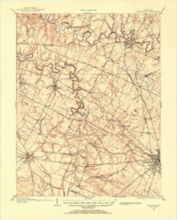
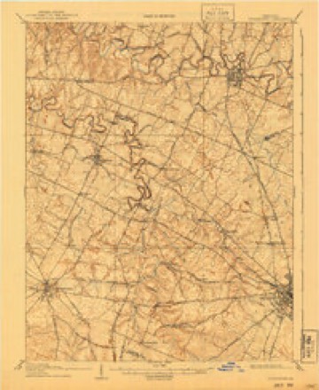
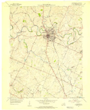
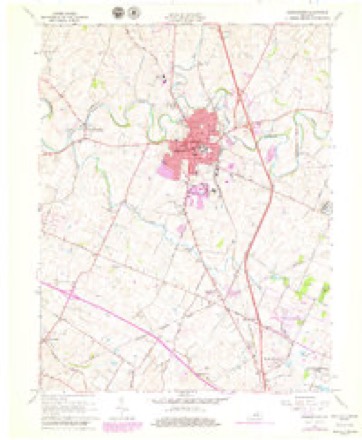
7 surveys from 12 printed sheetsMatched by testing this settlement's coordinate against the published boundary of every sheet in the United States Geological Survey's historical collection. Each opens the scanned sheet at the Survey.
- 1906 USGS Georgetown quadrangle1:62500
- 1908 USGS Georgetown quadrangle1:62500, 2 printings
- 1954 USGS Georgetown quadrangle1:24000
- 1956 USGS Louisville quadrangle1:250000, 2 printings
- 1964 USGS Louisville quadrangle1:250000
- 1965 USGS Georgetown quadrangle1:24000, 4 printings
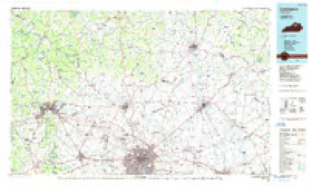
- 1986 USGS Lexington quadrangle1:100000


Mines and quarries near this place
3 within 5 milesRegional context, not property-specific evidence. The federal mineral resources record lists 3 workings within 5 miles of Great Crossing: 2 past producers, 1 producer. 1 still produces. What was taken out: Barium-Barite, Lead, Zinc, Iron, Strontium, Sulfur. Distance is straight-line from the map coordinates, so a quarry counted here may appear on a neighbouring settlement's page as well.
| Where | Site | Commodity | Status | Recorded |
|---|---|---|---|---|
| Johnson Vein | Barium-Barite, Lead, Zinc | Past Producer | Barite, Galena, Sphalerite | |
| Nally and Gibson | Stone, Crushed/Broken | Producer | ||
| Wm. Davis Vein | Barium-Barite, Iron, Strontium, Sulfur | Past Producer | 1908 |
Storms near this place
21 since 2008Regional context, not property-specific evidence. The National Weather Service names Great Crossing in 21 storm reports between 2008 and 2026: 12 thunderstorm wind, 6 flash flood, 2 hail, 1 flood. No death or injury is recorded in these reports. Each account below is quoted exactly as the forecast office filed it, from the NOAA Storm Events Database, and each date opens the federal record of that event.
| When | Event | Place named | Harm | What the report says |
|---|---|---|---|---|
| May 2010 | Flood | Great Crossing | $75,000 | Three to six inches of rain across Scott county May 1-2 led to areal flooding in spots across the county on the 2nd. |
| April 2017 | Thunderstorm Wind | Great Crossing | $50,000 | The Scott County emergency manager reported roof damage to Scott County High School. |
| March 2026 | Thunderstorm Wind | Great Crossing | - | Multiple trees were blown down on Stamping Ground Road near Great Crossing High School. |
| March 2026 | Thunderstorm Wind | Great Crossing | - | A tree was down on McClelland Circle near Scott County High School. |
| June 2025 | Thunderstorm Wind | Great Crossing | - | Multiple large limbs and small trees were blown down along Cane Run Rd between Old Farm Rd and US 460. Additional minor damage was also reported in the area. |
| July 2022 | Thunderstorm Wind | Great Crossing | - | Large tree branches, greater than a foot in diameter, were blown down. |
| June 2021 | Flash Flood | Great Crossing | - | Scott County Fire reported that Frankfort Pike (US 460) & Gallow Road were underwater. |
| May 2020 | Thunderstorm Wind | Great Crossing | - | The media relayed a photo showing trees snapped and one uprooted on Cane Run Road. |
| June 2019 | Thunderstorm Wind | Great Crossing | - | A large tree was reported down in the roadway in the 600 block of Cane Run. |
| July 2017 | Thunderstorm Wind | Great Crossing | - | A tree across KY 227. |
| June 2015 | Flash Flood | Great Crossing | - | A trained spotter reported that vehicles were stuck and unable to pass through on Long Lick Pike due to intense and torrential rainfall. |
| October 2014 | Hail | Great Crossing | - | A second supercell storm moved over Georgetown one hour after an initial storm brought baseball sized hail. This second storm brought 1.75 inch hail. |
| September 2014 | Flash Flood | Great Crossing | - | Water overflowed a creek and covered Lloyd Road. High water also covered Long Lick Road nearby. |
| July 2013 | Flash Flood | Great Crossing | - | A nearby creek overflowed its banks, flooding and briefly closing Robinson Lane, which is just west of Georgetown. |
| December 2013 | Thunderstorm Wind | Great Crossing | - | The public reported via Twitter that two barns were destroyed near Western Elementary School. Several signs were twisted as well. |
| March 2012 | Hail | Great Crossing | - | A spotter reported nickle to quarter sized hail with wind gusts up to 50 mph. |
| March 2012 | Thunderstorm Wind | Great Crossing | - | Several trees were downed along with minor property damage at the intersection of Belvedere and Frankfort Pike. Local emergency management also reported several trees downed across other portions of the county. |
| March 2012 | Flash Flood | Great Crossing | - | A trained spotter reported water over Highway 460 between Great Crossing and the Franklin county line. A mud slide occurred along this stretch of highway. |
| July 2011 | Flash Flood | Great Crossing | - | A spotter reported 2.5 inches of rain within one hour in Georgetown. Elkhorn Creek flooded one lane of State Highway 460 just west of Georgetown. |
| August 2011 | Thunderstorm Wind | Great Crossing | - | Local Emergency Management reported several trees down along Paynes Depot Road near McClelland Circle. |
| July 2008 | Thunderstorm Wind | Great Crossing | - | Power lines were reported down at State Route 227 and Kentucky Highway 460. |
Nearest settlements
The eight closest, with where each one stands in the county. Distances are straight-line, computed from the Geographic Names Information System coordinates.
| Map | Place | Distance | Sheets |
|---|---|---|---|
| Shiff | 1.9 miles | 12 | |
| Indian Hills | 2.1 miles | 12 | |
| Lancelot Estates | 2.4 miles | 12 | |
| Georgetown | 2.5 miles | 12 | |
| Herdon | 2.6 miles | 12 | |
| Peak | 2.7 miles | 12 | |
| Duval | 2.9 miles | 12 | |
| Stone Hedge Estates | 3.0 miles | 12 |
Elsewhere
Matched on this settlement's Geographic Names Information System number rather than its name, so it cannot be a different place of the same name in another state.
| Wikipedia article on Great Crossing | An encyclopaedic summary. Its text is share-alike, so it is linked here rather than copied. |
| Wikidata item Q15222062 | The structured record the population and elevation above come from. Public domain (CC0). |
Provenance
This settlement is recorded in the Geographic Names Information System as feature 493245. The sheet list is computed by point-in-boundary test against the United States Geological Survey's historical topographic inventory. Both are works of the United States government and carry no copyright under 17 U.S.C. 105.
Mines and quarries. USGS Mineral Resources Data System (MRDS) https://mrdata.usgs.gov/mrds/ A work of the United States government, no copyright under 17 U.S.C. 105.
Storms. NOAA National Centers for Environmental Information, Storm Events Database https://www.ncei.noaa.gov/stormevents/ A work of the United States government, no copyright under 17 U.S.C. 105. Narratives are quoted verbatim from the National Weather Service report and are not edited or summarised.