 Block
Jeffersontown, Kentucky
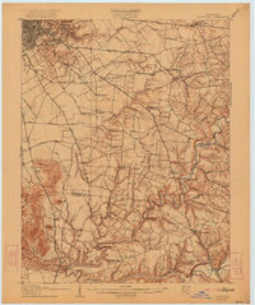
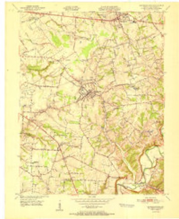
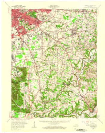
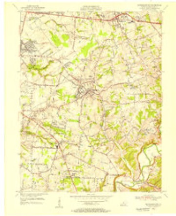
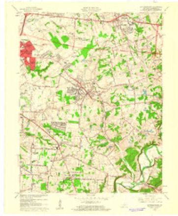
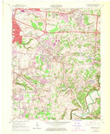
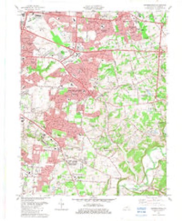
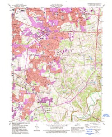
17 topographic sheets cover this place, the earliest surveyed in 1907 and the latest in 1986. It stands in the Southeast Jefferson census division. It lies in ZIP code area 40299. The Survey maps it on the Jeffersontown quadrangle. 28,474 people lived here at the 2020 count. It stands 702 feet above sea level.
On record in Jeffersontown
Buildings and businesses the archive holds for this place. Each opens its own page, with the source record it came from.
On the National Register 12 of 23 shown
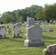 Confederate Martyrs Monument in Jeffersontownlisted 1997
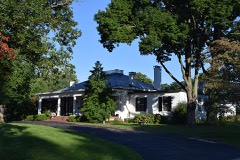 Harriet Funk Houselisted 1980
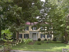 Tyler Settlement Rural Historic Districtlisted 1986
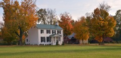 Yenowine-Kennedy Houselisted 1983
- Beech Lawnlisted 1980
- Beechlandlisted 1983
- Diamond Fruit Farmlisted 1983
- Diamond Fruit Farm (Boundary Increase)listed 1990
- James H. Funk Houselisted 1980
- Andrew Hoke Houselisted 1983
- Jeffersontown Colored Schoollisted 1985
- Judge Kirby Houselisted 1983
Population over time
2 figuresJeffersontown grew from 26,595 to 28,474 between 2010 and 2020. These are the recorded population figures Wikidata holds for this place, reached through the Geographic Names Information System number this page is keyed on rather than by name, so they belong to this place and not to another of the same name. Most are census counts, but not all are: an early figure may be a founding or settlement estimate, and an estimate published within five years of a census is left out. The change column is computed, and is left blank where more than 20 years separate a figure from the one before it, because a gap that long is not a change between two counts.
| Year | People | Change |
|---|---|---|
| 2010 | 26,595 | |
| 2020 | 28,474 | +1,879 (+7%) |
Topographic sheets covering this place
11 surveys from 17 printed sheetsMatched by testing this settlement's coordinate against the published boundary of every sheet in the United States Geological Survey's historical collection. Each opens the scanned sheet at the Survey.
- 1907 USGS Louisville quadrangle1:62500, 3 printings
- 1951 USGS Jeffersontown quadrangle1:24000
- 1951 USGS Louisville quadrangle1:62500
- 1955 USGS Jeffersontown quadrangle1:24000
- 1956 USGS Louisville quadrangle1:250000, 2 printings
- 1960 USGS Jeffersontown quadrangle1:24000
- 1964 USGS Jeffersontown quadrangle1:24000, 2 printings
- 1964 USGS Louisville quadrangle1:250000
- 1982 USGS Jeffersontown quadrangle1:24000
- 1984 USGS Jeffersontown quadrangle1:24000, 2 printings
- 1986 USGS Louisville quadrangle1:100000, 2 printings


Photographs
4 photographs, 1943Taken for the Office of War Information and the Farm Security Administration, who photographed the country between 1935 and 1944. Works of United States government photographers, with no known restriction on use. Each opens its catalogue record.
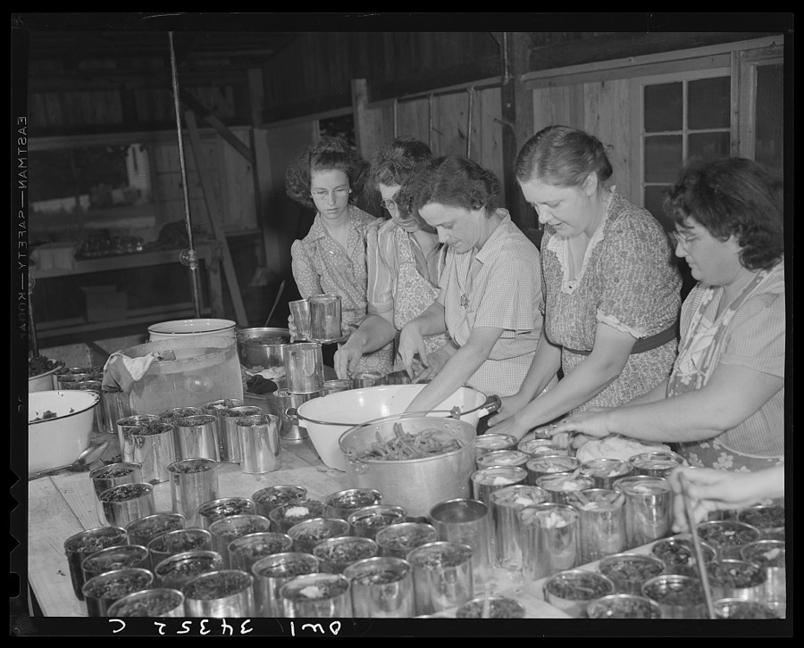
Hollem, Howard R., photographer, 1943. Library of Congress
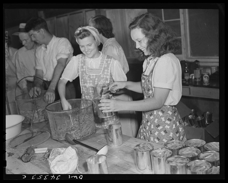
Hollem, Howard R., photographer, 1943. Library of Congress
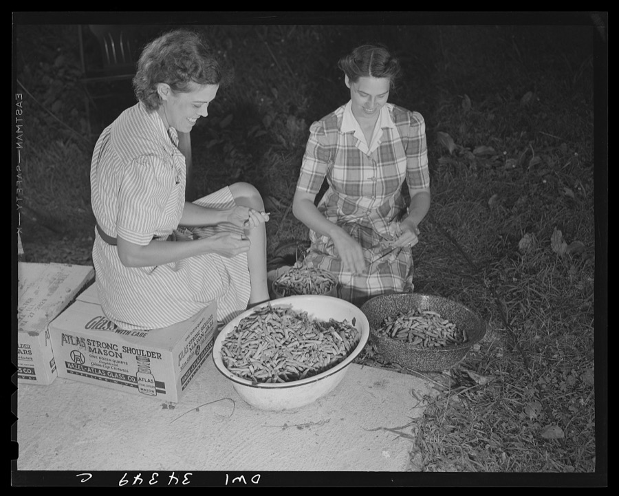
Hollem, Howard R., photographer, 1943. Library of Congress
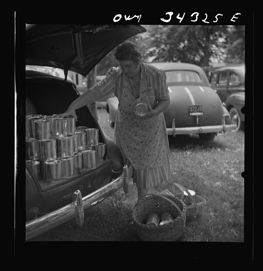
Hollem, Howard R., photographer, 1943. Library of Congress
Storms near this place
39 since 1997Regional context, not property-specific evidence. The National Weather Service names Jeffersontown in 39 storm reports between 1997 and 2025: 18 thunderstorm wind, 11 hail, 5 flash flood, 3 tornado. No death or injury is recorded in these reports. Each account below is quoted exactly as the forecast office filed it, from the NOAA Storm Events Database, and each date opens the federal record of that event.
| When | Event | Place named | Harm | What the report says |
|---|---|---|---|---|
| September 2020 | Flash Flood | Jeffersontown | $250,000 | A culvert under the 10200 block of Bunsen Way washed away. Cost of damage estimated. |
| June 2011 | Tornado (EF2) | Jeffersontown | $175,000 | The public reported a second tornado touchdown near the same time and location where the first one ended. After touching down just east of Saint Edward Catholic Church on Sue Helen Drive, this tornado uprooted trees and damaged the roofs of around one dozen homes along Saint Edwards Drive. Damage also was surveyed along Charlane Parkway and Dell Road. At the corner of Maple Road and Galene Drive, a large section of an oak tree split and was driven into a wall at Tully School. Low end EF-2 structural and roof damage was also noted at at the Good Samaritan Society Nursing Home. Two vehicles in a parking lot were flipped and moved 25 feet. After briefly lifting, this tornado then damaged both Dillard's and Machinery Specialty's warehouses along Electron Drive. The brick facades of both building were pushed out. After throwing a small shed 30 yards near the Dillard's Warehouse, the twister lifted just near the intersection of Electron Drive and Ampere Drive. |
| December 2021 | Lightning | Jeffersontown | $10,000 | Lightning struck a house which caused a fire on the 4500 block of Chenwood Lane. The cost of damage is unknown. |
| August 2007 | Lightning | Jeffersontown | $10,000 | Lightning started a house fire in the Jeffersontown area. The extent of damage is unknown. |
| May 2016 | Thunderstorm Wind | Jeffersontown | $6,000 | The public reported trees down in the area, one of which fell on a car. |
| June 2015 | Thunderstorm Wind | Jeffersontown | $5,000 | A broadcast meteorologist relayed a report of a large tree limb down on Cochrane Elementary. |
| May 2015 | Thunderstorm Wind | Jeffersontown | $1,000 | A broadcast media meteorologist relayed a report of a falling tree that damaged a garage on Harmony Drive in Jeffersontown. |
| May 2025 | Thunderstorm Wind | Jeffersontown | - | Trees and power lines were blown down near the 3100 block of Lynnwood Way in Jeffersontown. |
| April 2025 | Tornado (EF3) | Jeffersontown | - | A tornado touched down, beginning along Watterson Trail and Rivanna Dr, continuing into a heavily industrial section west of Blankenbaker Dr, crossing near the cloverleaf of I-265 and I-64, and then continuing into some residential areas along Beckley |Station Road, crossing Shelbyville Rd, and then lifting near Long Run Rd and Pope Dale Rd. It was on the ground for just under 10 miles and lasted 10 minutes. Its widest point is estimated at 350 yards and peak winds of 145 mph, or an EF3 tornado.||A few trees were uprooted as the tornado first touched down near Rivanna Dr. and Watterson Trail. It was mostly elevated as it continued to near the Jeffersontown municipal building, where it peeled back roofing on a metal warehouse and topped a few trees and one uprooted tree. The tornado moved east northeast peeling back the roof of a tall metal warehouse building just off Electron Dr. ||The tornado intensified along Ampere Court and Ampere Drive. The northeast side of a brick institutional building was completely blown out. Trees were uprooted and insulation was thrown in multiple directions. A large metal building had a failure of |X-braces in the lateral load resisting system. Metal pieces and insulation were thrown into trees and road signs. Immediately next-door, at KEP electric there was a complete destruction of another building, which had a brick bottom half and a metal top |half, and the metal and insulation was thrown in every direction, some of which traveled close to a mile. This was the strongest part of the tornado, and it only maintained this strength briefly. Tornado wind speeds were between 140 and 145 mph, EF3, with a width of 200 yards in this area. Some very subtle terrain is noted on topographic maps just west southwest of this area as well as a relative clearing of buildings, and these factors may briefly have influenced the strength of the tornado. ||A concrete warehouse building along Technology Drive had the walls blown down and roofing material lifted up and twisted in many directions. There was a collapse of pre-cast concrete tilt-up panels. There were several collapsed light poles as well. This |was the widest part of the tornado, an estimated 350 yards. At J & J, Transportation on Plantside Drive, a metal warehouse, had a failure of X-braces in the lateral load resisting system. Debris from the building was thrown at least a half a mile. At the Chick-fil-A across the street, bricks were peeled off the building, a large amount of roofing material was twisted and lifted. At 11900 Plantside Dr. (next door to Chick-fil-A) the metal roof of a brick building was peeled and thrown, and an extremely large air |conditioning unit was thrown off the roof to a distance of 75 yards, weighing several hundred pounds. Farther east on Plantside Drive behind the Interstate Battery building, at Creation Kingdom, a large section of the metal building was opened up, and metal support beams were twisted and bent. At Warren Technology at Campus Place, two brick walls were knocked out. The metal roof was peeled off, windows blown out, trees were uprooted, and many vehicles were moved and windows all blown out. Papa Johns |headquarters building had some windows blown out, and some HVAC units damaged on the roof, but overall the building fared very well. ||On Pope Lick Road, trees were twisted and topped, power poles were snapped. At Interstate 64 at English Station Road, signs were twisted and damaged and numerous trees were topped, twisted, and uprooted. The Stables Apartments had roof damage, |windows blown out, and car windows blown out. At Beckley Hills Drive at Beckley Hills Road, there were multiple homes with siding off, shingles off, blue tarps on roofs, gutter damage, and many missing shingles. There were several areas in Floyd s Fork Park |that had trees topped and uprooted. The last damage point was off of Flat Rock Road at 1710 Pope Dale Rd, where there were a few top trees and a couple of uprooted trees in a forested area. |
| July 2025 | Flash Flood | Jeffersontown | - | Video was showing water flowing over roadway at Watterson Trail and Mansfield Estates Drive. |
| May 2024 | Thunderstorm Wind | Jeffersontown | - | Large trees were downed by strong winds at the intersection of Narwood Drive and Gateway Drive. |
| August 2024 | Thunderstorm Wind | Jeffersontown | - | A large tree fell onto a garage in Jeffersontown and it was tangled in power lines. |
| August 2024 | Thunderstorm Wind | Jeffersontown | - | A tree fell through the roof of a house on Lynnwood Way in Jeffersontown. |
| June 2023 | Hail | Jeffersontown | - | Quarter sized hail was observed in Jeffersontown. |
| August 2023 | Thunderstorm Wind | Jeffersontown | - | Multiple large trees were down on Arlington Court. |
| September 2020 | Flash Flood | Jeffersontown | - | Taylorsville Road near Merioneth Drive was closed due to high water. |
| June 2020 | Flash Flood | Jeffersontown | - | There was water over Taylorsville Road at Chenoweth Run. |
| May 2016 | Hail | Jeffersontown | - | The public reported hail around the size of a penny. |
| April 2015 | Hail | Jeffersontown | - | An off-duty NWS employee reported quarter size hail near Jeffersontown. |
| May 2015 | Thunderstorm Wind | Jeffersontown | - | A law enforcement official reported multiple trees down across the city. |
| July 2015 | Thunderstorm Wind | Jeffersontown | - | A Kentucky state official reported that several trees were down in the eastern partof Jefferson County including on Stony Brook Drive and Hustbourne Parkway. |
| July 2015 | Thunderstorm Wind | Jeffersontown | - | A public report was received of numerous trees down due to severe thunderstorm winds. |
| June 2013 | Thunderstorm Wind | Jeffersontown | - | The public reported a large tree down in Jeffersontown, on the east side of Louisville Metro. |
| April 2013 | Hail | Jeffersontown | - | A NWS employee located in Jeffersontown reported 1 inch hail that covered a deck. |
| April 2013 | Hail | Jeffersontown | - | A spotter reported 1.25 inch hail near Jeffersontown. |
| October 2013 | Thunderstorm Wind | Jeffersontown | - | Local media reported several trees downed near Jeffersontown High School. These trees were toppled by a strong convective line of showers. |
| June 2008 | Thunderstorm Wind | Jeffersontown | - | Trees reported down in Jeffersontown. |
| January 2000 | Thunderstorm Wind | Jeffersontown | - | Very large limbs down onto house |
| June 2000 | Thunderstorm Wind | Jeffersontown | - | Trees were downed. |
| April 1999 | Flash Flood | Jeffersontown | - | 2 inches of rain fell in 40 minutes causing small streams to flood and flooding several roads |
| July 1997 | Tornado (F0) | Jeffersontown | - | The Jeffersontown police and many people witnessed a brief tornado touchdown 2 mile s southeast of Jeffersontown and just south of the Gene Snyder Freeway. Only trees were were effected as it touched down in a wooded area. |
| June 1997 | Thunderstorm Wind | Jeffersontown | - | Several trees were blown down. |
| July 2018 | Hail | Jeffersontown | - | no account filed |
| March 2012 | Hail | Jeffersontown | - | no account filed |
| April 2011 | Hail | Jeffersontown | - | no account filed |
| August 2007 | Hail | Jeffersontown | - | no account filed |
| April 2006 | Hail | Jeffersontown | - | no account filed |
| February 2002 | Hail | Jeffersontown | - | no account filed |
| November 2000 | Thunderstorm Wind | Jeffersontown | - | no account filed |
Nearest settlements
The eight closest, with where each one stands in the county. Distances are straight-line, computed from the Geographic Names Information System coordinates.
| Map | Place | Distance | Sheets |
|---|---|---|---|
| Watterson Woods | 0.9 miles | 17 | |
| Mansfield Estates | 1.0 miles | 17 | |
| Forest Hills | 1.8 miles | 17 | |
| Tucker Station | 1.9 miles | 17 | |
| Bryan (historical) | 2.0 miles | 17 | |
| Hurstbourne Acres | 2.3 miles | 17 | |
| Dravo | 2.5 miles | 17 | |
| Fern Creek | 2.7 miles | 17 |
Elsewhere
Matched on this settlement's Geographic Names Information System number rather than its name, so it cannot be a different place of the same name in another state.
| Wikipedia article on Jeffersontown | An encyclopaedic summary. Its text is share-alike, so it is linked here rather than copied. |
| Wikidata item Q2018277 | The structured record the population and elevation above come from. Public domain (CC0). |
Provenance
This settlement is recorded in the Geographic Names Information System as feature 495196. The sheet list is computed by point-in-boundary test against the United States Geological Survey's historical topographic inventory. Both are works of the United States government and carry no copyright under 17 U.S.C. 105.
Storms. NOAA National Centers for Environmental Information, Storm Events Database https://www.ncei.noaa.gov/stormevents/ A work of the United States government, no copyright under 17 U.S.C. 105. Narratives are quoted verbatim from the National Weather Service report and are not edited or summarised.