 Block
Tucker Station, Kentucky
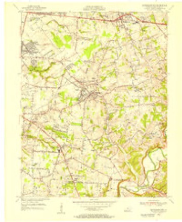
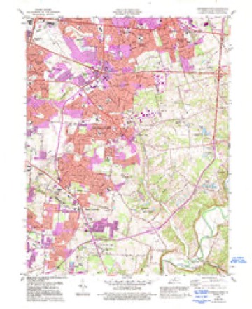
17 topographic sheets cover this place, the earliest surveyed in 1907 and the latest in 1986. It stands in the Southeast Jefferson census division. It lies in ZIP code area 40299. The Survey maps it on the Jeffersontown quadrangle.
On record in Tucker Station
Buildings and businesses the archive holds for this place. Each opens its own page, with the source record it came from.
On the National Register within a mile 5 records
The National Register names another town for these. They stand within one mile of this settlement's coordinate.
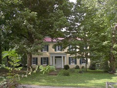 Tyler Settlement Rural Historic Districtlisted 1986 · 0.5 miles away
- Rockdalelisted 1983 · 0.4 miles away
- Moses Tyler Houselisted 1983 · 0.4 miles away
- Hazael Tucker Farm (Boundary Increase)listed 1986 · 0.4 miles away
- Robert Tylor Placelisted 1983 · 0.8 miles away
Topographic sheets covering this place
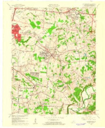
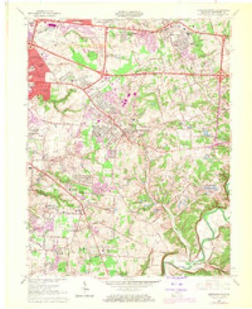
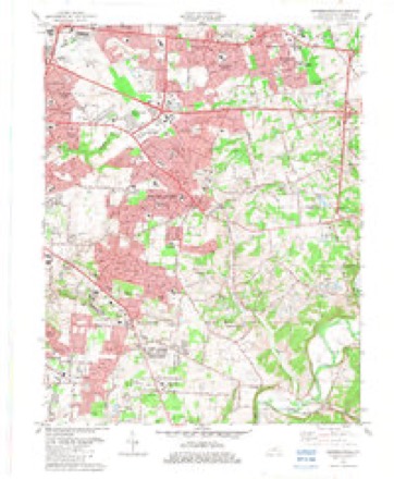
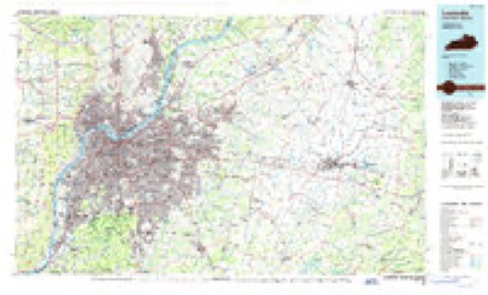
11 surveys from 17 printed sheetsMatched by testing this settlement's coordinate against the published boundary of every sheet in the United States Geological Survey's historical collection. Each opens the scanned sheet at the Survey.
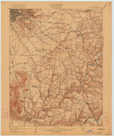
- 1907 USGS Louisville quadrangle1:62500, 3 printings
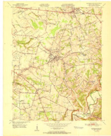
- 1951 USGS Jeffersontown quadrangle1:24000
- 1951 USGS Louisville quadrangle1:62500
- 1955 USGS Jeffersontown quadrangle1:24000
- 1956 USGS Louisville quadrangle1:250000, 2 printings
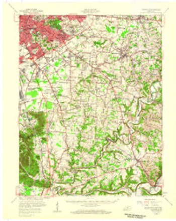
- 1960 USGS Jeffersontown quadrangle1:24000
- 1964 USGS Jeffersontown quadrangle1:24000, 2 printings
- 1964 USGS Louisville quadrangle1:250000
- 1982 USGS Jeffersontown quadrangle1:24000
- 1984 USGS Jeffersontown quadrangle1:24000, 2 printings
- 1986 USGS Louisville quadrangle1:100000, 2 printings


Mines and quarries near this place
1 within 5 milesRegional context, not property-specific evidence. The federal mineral resources record lists 1 working within 5 miles of Tucker Station: 1 producer. All of them still produce. What was taken out: Stone, Crushed/Broken. Distance is straight-line from the map coordinates, so a quarry counted here may appear on a neighbouring settlement's page as well.
| Where | Site | Commodity | Status | Recorded |
|---|---|---|---|---|
| Avoca Quarry | Stone, Crushed/Broken | Producer |
Storms near this place
5 since 2010Regional context, not property-specific evidence. The National Weather Service names Tucker Station in 5 storm reports between 2010 and 2024: 4 thunderstorm wind, 1 tornado. No death or injury is recorded in these reports. Each account below is quoted exactly as the forecast office filed it, from the NOAA Storm Events Database, and each date opens the federal record of that event.
| When | Event | Place named | Harm | What the report says |
|---|---|---|---|---|
| June 2011 | Tornado (EF1) | Tucker Station | $75,000 | The last in a series of tornadoes spawned by the same storm touched down near the intersection of Electron and Ampere Drives, near the same location that the second twister lifted. This tornado was intermittently on the ground for 3.5 miles, crossing Interstate 265 and lifting just east of 1600 South English Station Road. Near the touchdown point, an air-conditioning unit was blown off the roof of JCK Enterprises. Several corporate buildings and warehouses on Electron Drive had roof and siding damage. EF-1 damage to some steel framing and stucco was noted at the Oxmoor Collision Center and the RBI Corporation. More than one dozen trees were uprooted around the Tucker House Bed and Breakfast on Tucker Station Road. The public reported a rope like tornado lifting just west of Interstate 265 and touching down again near 1600 South English Station Road. EF-0 damage was noted to several trees and a satellite dish at this location. |
| June 2024 | Thunderstorm Wind | Tucker Station | - | A gas station canopy blew over on Taylorsville Road. |
| June 2016 | Thunderstorm Wind | Tucker Station | - | Local broadcast media reported trees and power lines down in the area. Some minor roof damage occurred as well. |
| April 2011 | Thunderstorm Wind | Tucker Station | - | Sheet metal on a building was damaged at Blankenbaker and Electron Dr. |
| August 2010 | Thunderstorm Wind | Tucker Station | - | A tree was blown down in the 900 block of Blankenbaker Pkwy. |
Nearest settlements
The eight closest, with where each one stands in the county. Distances are straight-line, computed from the Geographic Names Information System coordinates.
| Map | Place | Distance | Sheets |
|---|---|---|---|
| Jeffersontown | 1.9 miles | 17 | |
| Hopewell | 2.1 miles | 17 | |
| Woodland Hills | 2.8 miles | 17 | |
| Watterson Woods | 2.8 miles | 17 | |
| Douglass Hills | 2.9 miles | 17 | |
| Douglas Hills East | 2.9 miles | 17 | |
| Mansfield Estates | 3.0 miles | 17 | |
| Middletown | 3.2 miles | 17 |
Provenance
This settlement is recorded in the Geographic Names Information System as feature 505547. The sheet list is computed by point-in-boundary test against the United States Geological Survey's historical topographic inventory. Both are works of the United States government and carry no copyright under 17 U.S.C. 105.
Mines and quarries. USGS Mineral Resources Data System (MRDS) https://mrdata.usgs.gov/mrds/ A work of the United States government, no copyright under 17 U.S.C. 105.
Storms. NOAA National Centers for Environmental Information, Storm Events Database https://www.ncei.noaa.gov/stormevents/ A work of the United States government, no copyright under 17 U.S.C. 105. Narratives are quoted verbatim from the National Weather Service report and are not edited or summarised.