 Block
Jonestown, Kentucky
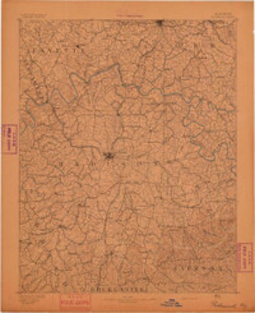
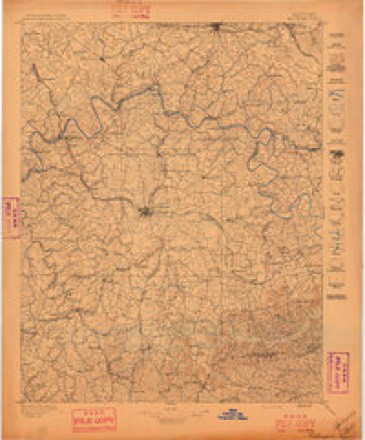
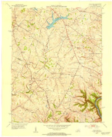
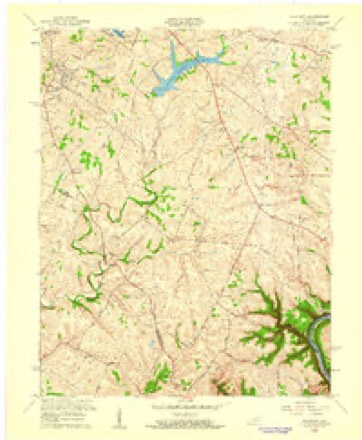
19 topographic sheets cover this place, the earliest surveyed in 1892 and the latest in 1991. It stands in the Lexington-Fayette Southeast census division. It lies in ZIP code area 40517. The Survey maps it on the Coletown quadrangle.
Topographic sheets covering this place
9 surveys from 19 printed sheetsMatched by testing this settlement's coordinate against the published boundary of every sheet in the United States Geological Survey's historical collection. Each opens the scanned sheet at the Survey.
- 1892 USGS Richmond quadrangle1:125000
- 1897 USGS Richmond quadrangle1:125000, 5 printings
- 1952 USGS Coletown quadrangle1:24000
- 1957 USGS Winchester quadrangle1:250000, 3 printings
- 1959 USGS Coletown quadrangle1:24000
- 1960 USGS Winchester quadrangle1:250000
- 1965 USGS Coletown quadrangle1:24000, 5 printings
- 1986 USGS Harrodsburg quadrangle1:100000
- 1991 USGS Harrodsburg quadrangle1:100000


Fires near this place
1 since 2014Regional context, not property-specific evidence. The federal wildfire occurrence database lists 1 fire within 5 miles of Jonestown in 2014, burning about 3 acres in total. None started naturally. None was recorded as arson. Distance is straight-line from the map coordinates, so a fire counted here may appear on a neighbouring settlement's page as well.
| Reported cause | Fires |
|---|---|
| Recreation and ceremony | 1 |
The most recent of them, most recent first, with the day each was reported and the service that recorded it.
| Date | Cause | Size | Reported by | Name on the report |
|---|---|---|---|---|
| 27 March 2014 | Recreation and ceremony | 3.0 acres | Kentucky Division of Forestry | NEELY |
Settlements close enough to share some of these fires:
Mines and quarries near this place
3 within 5 milesRegional context, not property-specific evidence. The federal mineral resources record lists 3 workings within 5 miles of Jonestown: 2 producers, 1 plant. All of them still produce. What was taken out: Zinc, Stone, Crushed/Broken, Sand and Gravel, Construction, Tungsten. Distance is straight-line from the map coordinates, so a quarry counted here may appear on a neighbouring settlement's page as well.
| Where | Site | Commodity | Status | Recorded |
|---|---|---|---|---|
| Lexington Quarry Company | Stone, Crushed/Broken, Zinc | Producer | ||
| Miss Kate | Sand and Gravel, Construction, Zinc | Plant | ||
| Semicon Assoc./ Lexington, Ky. | Tungsten | Producer |
Storms near this place
41 since 2007Regional context, not property-specific evidence. The National Weather Service names Jonestown in 41 storm reports between 2007 and 2025: 29 thunderstorm wind, 5 flash flood, 3 flood, 3 hail. The reports record 2 injuries. Each account below is quoted exactly as the forecast office filed it, from the NOAA Storm Events Database, and each date opens the federal record of that event.
| When | Event | Place named | Harm | What the report says |
|---|---|---|---|---|
| August 2023 | Lightning | Jonestown | 2 hurt | Two boys sustained injuries from a lightning strike on Meadowbrook Golf Course in Lexington. |
| August 2017 | Thunderstorm Wind | Jonestown | $30,000 | Trained spotters reported limbs down up to 4 inches in diameter on 4 different vehicles. |
| June 2015 | Thunderstorm Wind | Jonestown | $15,000 | A broadcast meteorologist relayed a report that a tree fell on a house. |
| April 2017 | Thunderstorm Wind | Jonestown | $5,000 | The public reported shingles were blown off a home. |
| February 2025 | Flood | Jonestown | - | A small creek between Laredo Drive and Wilson Downing Road was out of its banks, with about one foot of water spilling into an adjacent parking lot. Water approached a nearby apartment complex as well. |
| August 2024 | Thunderstorm Wind | Jonestown | - | A large tree branch snapped and fell onto a home in South Lexington. |
| August 2024 | Thunderstorm Wind | Jonestown | - | There were multiple reports of tree damage and power lines down in south Lexington, including on Jairus Drive. |
| July 2023 | Thunderstorm Wind | Jonestown | - | There was an uprooted tree. |
| July 2023 | Thunderstorm Wind | Jonestown | - | There were multiple trees down on a road. |
| July 2023 | Thunderstorm Wind | Jonestown | - | There were trees down on Nicholasville Road. |
| July 2023 | Thunderstorm Wind | Jonestown | - | There were trees down on Tates Creek Road. |
| July 2023 | Thunderstorm Wind | Jonestown | - | Trees were blown down across the south side of Lexington. |
| July 2023 | Thunderstorm Wind | Jonestown | - | A tree was blown down near Tates Creek Road in Lexington. |
| July 2023 | Thunderstorm Wind | Jonestown | - | A tree was blown down near Man O War Boulevard on the southeast side of Lexington. |
| July 2023 | Thunderstorm Wind | Jonestown | - | A tree was blown down near Nicholasville Road. |
| April 2022 | Thunderstorm Wind | Jonestown | - | Trees were down on Lansdowne Drive. |
| July 2021 | Flash Flood | Jonestown | - | There was water over River Park Drive. |
| June 2021 | Thunderstorm Wind | Jonestown | - | A tree fell on the road. |
| June 2021 | Thunderstorm Wind | Jonestown | - | A tree was down blocking Lansdowne Drive and Nantucket Drive. |
| June 2020 | Thunderstorm Wind | Jonestown | - | There were multiple trees and power lines down along Aberdeen Drive. |
| May 2018 | Flash Flood | Jonestown | - | Broadcast media reported that water was flowing over Tates Creek Road and Gainesway Drive. |
| May 2018 | Flash Flood | Jonestown | - | Broadcast media reported flooding at Veterans Park. West Hickman creek was rising quickly. |
| July 2018 | Thunderstorm Wind | Jonestown | - | There was a tree down on Malabu Drive. |
| March 2017 | Thunderstorm Wind | Jonestown | - | The public reported a large tree down due to severe thunderstorm winds. |
| August 2017 | Thunderstorm Wind | Jonestown | - | Trees down in the area. |
| May 2016 | Hail | Jonestown | - | A broadcast meteorologist relayed a report of quarter size hail and strong winds in the Veterans Park area. |
| May 2016 | Hail | Jonestown | - | A broadcast meteorologist relayed a picture via Twitter of quarter sized hail in the Salon Drive area. |
| September 2016 | Thunderstorm Wind | Jonestown | - | The public reported several 3 to 4 inch diameter branches snapped. |
| July 2015 | Thunderstorm Wind | Jonestown | - | A Kentucky state official reported that severe thunderstorm winds brought down trees in the area. |
| August 2014 | Flood | Jonestown | - | West Hickman Creek exceeded bankfull and inundated its floodplain near Veterans Park. |
| June 2014 | Thunderstorm Wind | Jonestown | - | Lexington media reported a large tree down in the Harrods View Subdivision. |
| July 2013 | Thunderstorm Wind | Jonestown | - | Law enforcement reported a tree downed along Buckhorn Drive. |
| October 2013 | Thunderstorm Wind | Jonestown | - | The Lexington Emergency Dispatch reported large tree limbs downed near the intersection of Alumni Drive and Turkey Foot Road. |
| August 2013 | Flash Flood | Jonestown | - | A second round of afternoon thunderstorms brought additional heavy rain to Lexington. Local law enforcement reported that two intersections were closed due to high water. These intersections included River Park and Buelah Roads, and also Leestown and Dolan Roads. Several reports of high water were noted on other portions of Fayette County. |
| August 2012 | Hail | Jonestown | - | The Lexington broadcast media reported one inch hail near Southland Drive. Smaller, nickle-sized hail fell at several other locations around the city. |
| June 2011 | Thunderstorm Wind | Jonestown | - | Three trees were downed in the Stone Creek Subdivision in the south side of Lexington. |
| July 2011 | Thunderstorm Wind | Jonestown | - | A wet microburst brought localized wind damage to the south side of Lexington. A nearby Kentucky Mesonet site measured a wind gust of 45 mph. Several trees were downed. |
| August 2009 | Flash Flood | Jonestown | - | Three to six inches of water was flowing over Man O War Blvd and Clearwater Way. |
| December 2007 | Flood | Jonestown | - | Portions of Todds Road, Liberty Road, and New Circle Road were closed due to high water. |
| June 2008 | Thunderstorm Wind | Jonestown | - | no account filed |
| October 2007 | Thunderstorm Wind | Jonestown | - | no account filed |
Nearest settlements
The eight closest, with where each one stands in the county. Distances are straight-line, computed from the Geographic Names Information System coordinates.
| Map | Place | Distance | Sheets |
|---|---|---|---|
| Southeastern Hills | 0.8 miles | 19 | |
| Gainesway | 1.0 miles | 19 | |
| Baralto | 1.0 miles | 15 | |
| Stoneybrook | 1.1 miles | 15 | |
| Lexington | 1.3 miles | 19 | |
| Brigadoon | 1.3 miles | 15 | |
| Blueberry Hill | 1.4 miles | 15 | |
| Lansdowne | 1.5 miles | 15 |
Provenance
This settlement is recorded in the Geographic Names Information System as feature 508356. The sheet list is computed by point-in-boundary test against the United States Geological Survey's historical topographic inventory. Both are works of the United States government and carry no copyright under 17 U.S.C. 105.
Wildfire. Short, Karen C. 2022. Spatial wildfire occurrence data for the United States, 1992-2020 [FPA_FOD_20221014]. 6th Edition. Fort Collins, CO: Forest Service Research Data Archive. https://doi.org/10.2737/RDS-2013-0009.6 Collected with United States Government funding and usable without additional permissions or fees.
Mines and quarries. USGS Mineral Resources Data System (MRDS) https://mrdata.usgs.gov/mrds/ A work of the United States government, no copyright under 17 U.S.C. 105.
Storms. NOAA National Centers for Environmental Information, Storm Events Database https://www.ncei.noaa.gov/stormevents/ A work of the United States government, no copyright under 17 U.S.C. 105. Narratives are quoted verbatim from the National Weather Service report and are not edited or summarised.