 Block
La Center, Kentucky
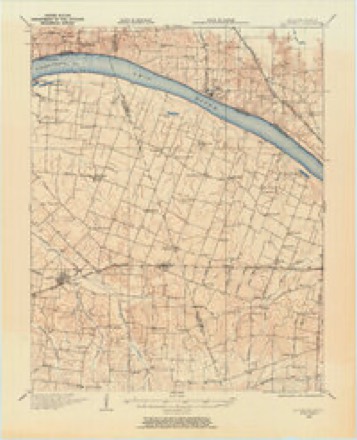
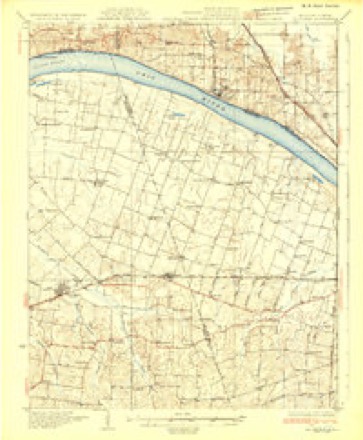
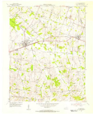
16 topographic sheets cover this place, the earliest surveyed in 1928 and the latest in 1987. It stands in the La Center census division. It lies in ZIP code area 42056. It stands on Little Humphrey Creek. The Survey maps it on the La Center quadrangle. 872 people lived here at the 2020 count. It stands 367 feet above sea level.
Population over time
2 figuresLa Center fell from 1,009 to 872 between 2010 and 2020. These are the recorded population figures Wikidata holds for this place, reached through the Geographic Names Information System number this page is keyed on rather than by name, so they belong to this place and not to another of the same name. Most are census counts, but not all are: an early figure may be a founding or settlement estimate, and an estimate published within five years of a census is left out. The change column is computed, and is left blank where more than 20 years separate a figure from the one before it, because a gap that long is not a change between two counts.
| Year | People | Change |
|---|---|---|
| 2010 | 1,009 | |
| 2020 | 872 | -137 (-14%) |
Topographic sheets covering this place
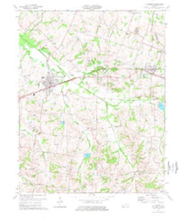
12 surveys from 16 printed sheetsMatched by testing this settlement's coordinate against the published boundary of every sheet in the United States Geological Survey's historical collection. Each opens the scanned sheet at the Survey.
- 1928 USGS La Center quadrangle1:62500
- 1932 USGS La Center quadrangle1:62500
- 1949 USGS Paducah quadrangle1:250000, 2 printings
- 1950 USGS Paducah quadrangle1:250000
- 1954 USGS La Center quadrangle1:24000
- 1954 USGS Paducah quadrangle1:250000, 2 printings
- 1961 USGS Paducah quadrangle1:250000, 2 printings
- 1964 USGS Paducah quadrangle1:250000, 2 printings
- 1975 USGS La Center quadrangle1:24000
- 1984 USGS Paducah quadrangle1:100000
- 1986 USGS Paducah quadrangle1:100000
- 1987 USGS Paducah quadrangle1:250000
Fires near this place
6 since 1999Regional context, not property-specific evidence. The federal wildfire occurrence database lists 6 fires within 5 miles of La Center between 1999 and 2012, burning about 18 acres in total. None started naturally. None was recorded as arson. Distance is straight-line from the map coordinates, so a fire counted here may appear on a neighbouring settlement's page as well.
| Reported cause | Fires |
|---|---|
| Missing data/not specified/undetermined | 3 |
| Recreation and ceremony | 2 |
| Debris and open burning | 1 |
The most recent of them, most recent first, with the day each was reported and the service that recorded it.
| Date | Cause | Size | Reported by | Name on the report |
|---|---|---|---|---|
| 20 August 1999 | Debris and open burning | 1.0 acres | Kentucky Division of Forestry | not named |
| 24 February 2012 | Recreation and ceremony | under an acre | Kentucky Division of Forestry | JIM ARLIN |
| 20 February 2011 | Recreation and ceremony | 5.0 acres | Kentucky Division of Forestry | TURNER LANDING RD. |
| 25 November 2005 | Missing data/not specified/undetermined | 1.0 acres | Kentucky Division of Forestry | not named |
| 5 October 2004 | Missing data/not specified/undetermined | under an acre | Kentucky Division of Forestry | not named |
| 30 October 2004 | Missing data/not specified/undetermined | 11 acres | Kentucky Division of Forestry | not named |
Settlements close enough to share some of these fires:
Storms near this place
33 since 1996Regional context, not property-specific evidence. The National Weather Service names La Center in 33 storm reports between 1996 and 2025: 17 thunderstorm wind, 8 hail, 3 flash flood, 2 funnel cloud. The reports record 3 injuries. Each account below is quoted exactly as the forecast office filed it, from the NOAA Storm Events Database, and each date opens the federal record of that event.
| When | Event | Place named | Harm | What the report says |
|---|---|---|---|---|
| January 1999 | Thunderstorm Wind | La Center | 3 hurt, $200,000 | An intense thunderstorm microburst overturned and destroyed a mobile home. Three occupants were injured. Workers had trouble reaching the residence due to downed trees. The mobile home flipped over several times before coming to a stop on top of a van and truck. One of the injured persons required surgery for a severe cut on the arm. Nearby, a machine shop was destroyed, and a barn with over 20,000 bushels of grain was blown away. |
| June 2018 | Thunderstorm Wind | La Center | $40,000 | Widespread damaging winds occurred across much of Ballard County. Numerous large trees were blown down, resulting in widespread power outages. A tree landed on a car. Another tree landed on a house. |
| August 2016 | Flash Flood | La Center | $40,000 | Numerous roads were covered with up to a foot of water. Multiple vehicles were stranded in the rising water, mostly north of Kevil through the Bandana area. There was a report of over six inches of rain near Bandana during the morning storm. The rain gage overflowed, so the exact amount was undetermined. |
| May 2019 | Tornado (EF1) | La Center | $35,000 | A National Weather Service damage survey determined EF-1 tornado damage occurred near La Center, with maximum peak winds of 105 mph. The tornado began about one-half mile south-southwest of La Center along Kentucky Highway 802. Several trees lost large limbs, and a few large trees were snapped along the path. A 20-by-25 foot section of roof on a home on Kentucky Highway 358 was lifted and thrown about 150 feet. A nearby storage building had its doors blown in, and the base of an exterior wall was shifted by a couple of feet. A few other homes in the vicinity received minor shingle damage. The tornado lifted shortly after crossing Highway 358, about half a mile southeast of La Center. |
| May 2025 | Hail | La Center | $30,000 | Hailstones up to baseball size occurred on KC Dunn Rd on the northeast side of Barlow, two miles south of La Center, and in La Center with damage to windows as a potent supercell storm moved through Ballard County. |
| January 2013 | Thunderstorm Wind | La Center | $20,000 | Trees were blown down. There was slight structural damage. |
| July 1996 | Flash Flood | La Center | $20,000 | no account filed |
| September 1996 | Thunderstorm Wind | La Center | $20,000 | no account filed |
| August 2016 | Thunderstorm Wind | La Center | $14,000 | A large tree fell through a home in La Center. Tree limbs were down in Kevil. |
| October 2014 | Thunderstorm Wind | La Center | $10,000 | Downed trees and power lines were reported in the community. |
| February 2012 | Thunderstorm Wind | La Center | $10,000 | A power pole was snapped and laying across a mobile home. The occupants were trapped inside. |
| May 1999 | Thunderstorm Wind | La Center | $10,000 | Power lines and trees were downed by wind. A large tree fell on a house, causing significant damage. |
| January 1999 | Thunderstorm Wind | La Center | $8,000 | A double wide mobile home was moved 5 feet off its foundation. |
| June 2010 | Thunderstorm Wind | La Center | $6,000 | Trees were down over a city street. |
| June 2019 | Thunderstorm Wind | La Center | $5,000 | Trees were down west and northwest of La Center. |
| May 2007 | Thunderstorm Wind | La Center | $5,000 | A barn was heavily damaged. At least one tree was down in the area. |
| January 1996 | Thunderstorm Wind | La Center | $3,000 | no account filed |
| July 2023 | Thunderstorm Wind | La Center | $2,000 | Large tree limbs were blown down. |
| May 2024 | Thunderstorm Wind | La Center | $1,000 | Wind gusts in La Center were estimated at 60 mph. |
| January 2025 | Flood | La Center | - | Ponding of water occurred on some roadways in Ballard County, including Hinkleville Rd. |
| February 2023 | Thunderstorm Wind | La Center | - | The Kentucky mesonet site measured a gust to 59 mph. |
| March 2020 | Hail | La Center | - | A swath of large hail accompanied a supercell thunderstorm across Ballard County, roughly along U.S. Highway 60. |
| April 2014 | Heavy Rain | La Center | - | A trained spotter measured just over 2.5 inches of rain in four hours. |
| June 2014 | Funnel Cloud | La Center | - | A trained spotter observed a funnel cloud. This cold-air funnel cloud was associated with a shower or weak thunderstorm. These types of funnel clouds are usually very brief and rarely touch the ground. |
| November 2013 | Funnel Cloud | La Center | - | A funnel cloud was reported over Ballard County in the La Center area. |
| July 2006 | Thunderstorm Wind | La Center | - | Three trees up to a foot in diameter were blown down. |
| April 2000 | Flash Flood | La Center | - | Persistent thunderstorms dumped at least two inches of rain over parts of the county. Water was reported over U.S. Highway 60 near La Center, as well as U.S. 62. On Stanford Road at Hinckleville, 6 to 8 inches of water was over the road. |
| June 2011 | Hail | La Center | - | no account filed |
| September 2006 | Hail | La Center | - | no account filed |
| April 2004 | Hail | La Center | - | no account filed |
| April 2003 | Hail | La Center | - | no account filed |
| March 2002 | Hail | La Center | - | no account filed |
| May 1998 | Hail | La Center | - | no account filed |
Newspapers printed here
8 digitised pages1 paper published in this town, digitised by the Library of Congress and free to read: 1 issue, 8 pages. Every page is searchable, so a name or a street can be looked for directly in what the town printed about itself at the time.
| Newspaper | Published |
|---|---|
| Liberty | 19?? |
What the paper printed
2,836 wordsFront pages of the local paper, read from the Library of Congress scans: 1 issue from 1910, 2,836 words in total. Each is reproduced on its own page, exactly as the recogniser returned it.
These pages read less well than anything else here, and the number is worth stating: about three words in four come through cleanly, against nine in ten for the building records. An 1896 broadsheet sets eight-point type in seven columns on microfilm, which is the hardest thing in this archive to read by machine. We tested our own recognisers against the Library's and they were not better, so the Library's text is what appears, with the wholly unreadable columns removed. Read it as a guide to what the paper covered, and follow the link to the scan before quoting anything.
| Issue | Paper | Length |
|---|---|---|
| 1910-02-16 | Liberty | 2,836 words |
Nearest settlements
The eight closest, with where each one stands in the county. Distances are straight-line, computed from the Geographic Names Information System coordinates.
Elsewhere
Matched on this settlement's Geographic Names Information System number rather than its name, so it cannot be a different place of the same name in another state.
| Wikipedia article on La Center | An encyclopaedic summary. Its text is share-alike, so it is linked here rather than copied. |
| Wikidata item Q2522082 | The structured record the population and elevation above come from. Public domain (CC0). |
Provenance
This settlement is recorded in the Geographic Names Information System as feature 495882. The sheet list is computed by point-in-boundary test against the United States Geological Survey's historical topographic inventory. Both are works of the United States government and carry no copyright under 17 U.S.C. 105.
Wildfire. Short, Karen C. 2022. Spatial wildfire occurrence data for the United States, 1992-2020 [FPA_FOD_20221014]. 6th Edition. Fort Collins, CO: Forest Service Research Data Archive. https://doi.org/10.2737/RDS-2013-0009.6 Collected with United States Government funding and usable without additional permissions or fees.
Storms. NOAA National Centers for Environmental Information, Storm Events Database https://www.ncei.noaa.gov/stormevents/ A work of the United States government, no copyright under 17 U.S.C. 105. Narratives are quoted verbatim from the National Weather Service report and are not edited or summarised.