 Block
Oscar, Kentucky
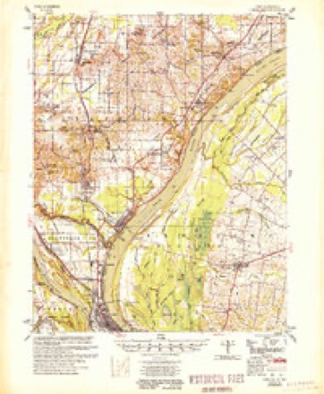
25 topographic sheets cover this place, the earliest surveyed in 1931 and the latest in 1987. It stands in the La Center census division. It lies in ZIP code area 42056. The Survey maps it on the Olmsted quadrangle. It stands 364 feet above sea level.
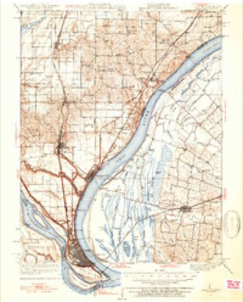
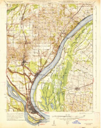
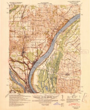
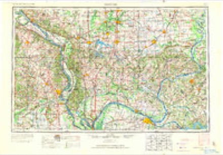
Topographic sheets covering this place
15 surveys from 25 printed sheetsMatched by testing this settlement's coordinate against the published boundary of every sheet in the United States Geological Survey's historical collection. Each opens the scanned sheet at the Survey.
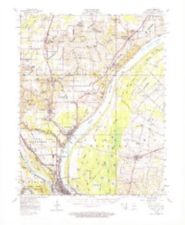
- 1931 USGS Cairo quadrangle1:62500, 2 printings
- 1933 USGS Cairo quadrangle1:62500, 3 printings
- 1939 USGS Cairo quadrangle1:62500
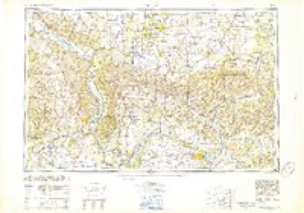
- 1949 USGS Paducah quadrangle1:250000, 2 printings
- 1950 USGS Paducah quadrangle1:250000
- 1953 USGS Cairo quadrangle1:62500, 3 printings
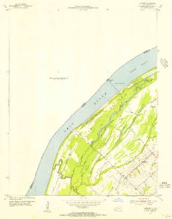
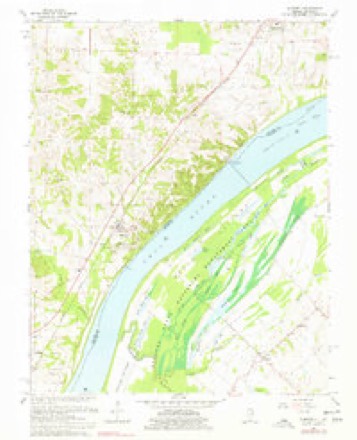
- 1954 USGS Olmsted quadrangle1:24000
- 1954 USGS Paducah quadrangle1:250000, 2 printings
- 1955 USGS Cairo quadrangle1:62500
- 1961 USGS Paducah quadrangle1:250000, 2 printings
- 1964 USGS Paducah quadrangle1:250000, 2 printings
- 1967 USGS Olmsted quadrangle1:24000, 2 printings
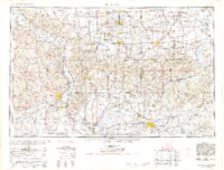
- 1984 USGS Cape Girardeau quadrangle1:100000
- 1986 USGS Cape Girardeau quadrangle1:100000
- 1987 USGS Paducah quadrangle1:250000
Fires near this place
5 since 1999Regional context, not property-specific evidence. The federal wildfire occurrence database lists 5 fires within 5 miles of Oscar between 1999 and 2012, burning about 18 acres in total. None started naturally. None was recorded as arson. Distance is straight-line from the map coordinates, so a fire counted here may appear on a neighbouring settlement's page as well.
| Reported cause | Fires |
|---|---|
| Recreation and ceremony | 2 |
| Missing data/not specified/undetermined | 2 |
| Debris and open burning | 1 |
The most recent of them, most recent first, with the day each was reported and the service that recorded it.
| Date | Cause | Size | Reported by | Name on the report |
|---|---|---|---|---|
| 20 August 1999 | Debris and open burning | 1.0 acres | Kentucky Division of Forestry | not named |
| 24 February 2012 | Recreation and ceremony | under an acre | Kentucky Division of Forestry | JIM ARLIN |
| 20 February 2011 | Recreation and ceremony | 5.0 acres | Kentucky Division of Forestry | TURNER LANDING RD. |
| 25 November 2005 | Missing data/not specified/undetermined | 1.0 acres | Kentucky Division of Forestry | not named |
| 30 October 2004 | Missing data/not specified/undetermined | 11 acres | Kentucky Division of Forestry | not named |
Settlements close enough to share some of these fires:
Mines and quarries near this place
1 within 5 milesRegional context, not property-specific evidence. The federal mineral resources record lists 1 working within 5 miles of Oscar: 1 producer. All of them still produce. What was taken out: Clay. Distance is straight-line from the map coordinates, so a quarry counted here may appear on a neighbouring settlement's page as well.
| Where | Site | Commodity | Status | Recorded |
|---|---|---|---|---|
| Southern Clay, Inc. Pit | Clay | Producer |
Storms near this place
22 since 1996Regional context, not property-specific evidence. The National Weather Service names Oscar in 22 storm reports between 1996 and 2025: 12 flood, 4 thunderstorm wind, 2 tornado, 2 hail. The reports record 1 death. Each account below is quoted exactly as the forecast office filed it, from the NOAA Storm Events Database, and each date opens the federal record of that event.
| When | Event | Place named | Harm | What the report says |
|---|---|---|---|---|
| December 2013 | Flash Flood | Oscar | 1 killed, $10,000 | Major flash flooding prompted a declaration of a state of emergency for Ballard County. Numerous roads were flooded across the county, including at least 16 that were impassable. A 54-year-old man was killed near Barlow when he was swept away by floodwaters after trying to get out of his car. His body was washed one-quarter to one-half mile off the small county road into a wooded area. An elderly woman was rescued from a stranded vehicle near a bridge on State Highway 725 near Kevil. Flooding of Clayton Creek impacted a road near Bandana such that only the top of the bridge was visible. An emergency management official in La Center measured 9.12 inches of rain, most of which fell in 15 hours. |
| May 2011 | Flood | Oscar | $500,000 | Major flooding continued on the Ohio River from April. At the Grand Chain, Illinois river gage, the flood crest of 62.20 feet on the evening of May 2 came within two feet of the record of 64.00 feet set in 1937. The activation of the New Madrid Floodway by the U.S. Army Corps of Engineers spared Ballard County from an even higher crest. With the detonation of the Mississippi River levee at Birds Point, Missouri, the Ohio River dropped suddenly at Grand Chain. Grand Chain is located across from Ballard County. Some homes were evacuated, primarily in areas around Oscar. The total number of flooded homes was likely between 20 and 30. |
| January 2016 | Flood | Oscar | $100,000 | Major flooding of the Ohio River continued into January. At the Cairo, Illinois river gage, the river crested at 56.14 feet on the 4th. Flood stage there is 40 feet. This flood crest at Cairo was close to the crest of 56.20 feet in the March, 1997 flood. A state of emergency was declared by the county government. The Ohio River bridge connecting Cairo, Illinois with Ballard County remained closed for a week as floodwaters covered the bridge approach on the Kentucky side. A small number of homes were evacuated in Ballard County, numbering about a dozen. Sandbagging operations were conducted around vulnerable structures. U.S. Highway 51 was flooded and closed near the Carlisle County line. There was considerable flooding of low-lying fields and woodlands. Parts of a wildlife management area and some river access roads were underwater. |
| February 2012 | Tornado (EF2) | Oscar | $100,000 | The tornado crossed the Ohio River from Pulaski County, IL into the Ballard State Waterfowl Management Area along the river in Ballard County. Near Oscar, a few barns and a machine shed were blown down. A porch was blown off a home. The tornado carved a damage path near Bandana and Oscar. One mobile home and one farm was destroyed near Bandana. Hundreds of trees were uprooted or snapped. Some homes sustained minor to moderate roof damage. Other homes received siding and gutter damage. Several power poles were snapped. Several chicken houses were damaged or destroyed. Peak winds were estimated near 120 mph. The average path width was 125 yards. The tornado continued into McCracken County. |
| November 2013 | Thunderstorm Wind | Oscar | $60,000 | Several barns and several trees were blown down in eastern Ballard County. The damage extended from Highway 310 between La Center and Oscar to Kevil. |
| January 2008 | Thunderstorm Wind | Oscar | $50,000 | Large limbs and trees were down throughout the county. About three miles south of LaCenter, part of a roof was blown off a house. A barn was blown onto a roadway about three miles south of Kevil. Most of the tree and power line damage was reported from 3 miles northwest of LaCenter to 8 miles southwest of LaCenter. |
| March 2011 | Flood | Oscar | $50,000 | no account filed |
| September 2006 | Tornado (F1) | Oscar | $40,000 | Damage indications as well as eyewitness accounts indicated multiple touchdowns of the funnel. The damage path was not continuous. One house received roof damage, and a tree limb fell on the porch. Two empty grain bins were blown away. One empty bin was blown a quarter mile. An auger was damaged. A nearly full propane tank was rolled off its blocks. A damage path was visible through a soybean field. Two large pecan trees were snapped at ground level. Sporadic tree damage was seen further down the path of the tornado. Peak winds were estimated near 85 MPH. |
| February 2025 | Flood | Oscar | - | Minor to moderate flooding of bottomland and other low-lying areas occurred near the Olmsted Lock and Dam. The river crested at 42.94' on the 19th. The moderate flood level is 42 feet. Minor flooding continued into early March. |
| May 2024 | Flood | Oscar | - | Minor flooding occurred across from Olmsted mid-month in low-lying areas. |
| March 2020 | Flood | Oscar | - | Moderate flooding occurred on the Ohio River. There was considerable flooding of low-lying areas near the river, including a wildlife refuge and lots of farmland. Most main roads remained open, though some lightly travelled county roads were closed. |
| May 2018 | Thunderstorm Wind | Oscar | - | The public reported damaging winds with power outages in the community. The type of damage was not specified. |
| December 2018 | Flood | Oscar | - | The Ohio River rose above flood stage. Minor flooding caused officials to close the Ballard Wildlife Management Area, which consists of large tracts of wetland formed by Ohio River sloughs. |
| March 2015 | Flood | Oscar | - | Moderate flooding occurred along the Ohio River. There was considerable flooding of low-lying woods and fields in bottomland areas. This included a large part of a state wildlife management area. Some river access roads were flooded. |
| December 2015 | Flood | Oscar | - | The Ohio River began its rise above flood stage late in the month. The flooding in December was relatively insignificant compared to the major flooding in January. The Ohio River bridge connecting Cairo, Illinois with Ballard County was closed as floodwaters covered the bridge approach on the Kentucky side. There was considerable flooding of low-lying fields and woodlands. Parts of a wildlife management area and some river access roads were underwater. |
| June 2011 | Hail | Oscar | - | Hailstones ranged from half-dollar size to nearly the size of golf balls. |
| May 2009 | Flood | Oscar | - | Moderate flooding of the Ohio River occurred. At the Grand Chain, Illinois gage, where flood stage is 42 feet, the river crested at 51.60 feet on the 12th. Agricultural bottomland and low-lying areas were flooded. |
| June 2009 | Heavy Rain | Oscar | - | State police reported flooding on Highway 1105. |
| March 2008 | Flood | Oscar | - | Major flooding of the Ohio River occurred. At the Grand Chain, IL gage, the river crested at 54.40 feet on March 26. Flood stage there is 42 feet, and major flooding begins at 53 feet. Floodwaters approached several homes between Oscar and Bandana, where sandbagging was done as a precaution. Large areas of agricultural land were flooded. Spring planting was not yet underway, so crop losses were negligible. Floodwaters came to the edge of U.S. Highway 51 near the approach to the Ohio River bridge. Floodwaters covered one lane of U.S. Highway 51 south of Wickliffe near a paper mill. |
| April 2008 | Flood | Oscar | - | Minor flooding of the Ohio River occurred. The river remained above flood stage from early March through late April. On the Grand Chain, Illinois gage, the crest in April was 53.20 feet on the 12th. Flood stage at Grand Chain is 42 feet. Many low-lying areas were flooded, primarily farm fields. Crop damage was still negligible, since the flooding started before planting season. |
| February 2007 | Hail | Oscar | - | no account filed |
| March 1996 | Thunderstorm Wind | Oscar | - | no account filed |
Nearest settlements
The eight closest, with where each one stands in the county. Distances are straight-line, computed from the Geographic Names Information System coordinates.
| Map | Place | Distance | Sheets |
|---|---|---|---|
| Turner Landing | 3.2 miles | 25 | |
| Monkeys Eyebrow | 4.0 miles | 17 | |
| Bandana | 4.4 miles | 17 | |
| La Center | 5.0 miles | 16 | |
| Needmore | 5.3 miles | 17 | |
| Barlow | 5.9 miles | 24 | |
| Ingleside | 6.7 miles | 16 | |
| Hinkleville | 8.1 miles | 16 |
Elsewhere
Matched on this settlement's Geographic Names Information System number rather than its name, so it cannot be a different place of the same name in another state.
| Wikipedia article on Oscar | An encyclopaedic summary. Its text is share-alike, so it is linked here rather than copied. |
| Wikidata item Q7105832 | The structured record the population and elevation above come from. Public domain (CC0). |
Provenance
This settlement is recorded in the Geographic Names Information System as feature 500013. The sheet list is computed by point-in-boundary test against the United States Geological Survey's historical topographic inventory. Both are works of the United States government and carry no copyright under 17 U.S.C. 105.
Wildfire. Short, Karen C. 2022. Spatial wildfire occurrence data for the United States, 1992-2020 [FPA_FOD_20221014]. 6th Edition. Fort Collins, CO: Forest Service Research Data Archive. https://doi.org/10.2737/RDS-2013-0009.6 Collected with United States Government funding and usable without additional permissions or fees.
Mines and quarries. USGS Mineral Resources Data System (MRDS) https://mrdata.usgs.gov/mrds/ A work of the United States government, no copyright under 17 U.S.C. 105.
Storms. NOAA National Centers for Environmental Information, Storm Events Database https://www.ncei.noaa.gov/stormevents/ A work of the United States government, no copyright under 17 U.S.C. 105. Narratives are quoted verbatim from the National Weather Service report and are not edited or summarised.