 Block
Maxon, Kentucky
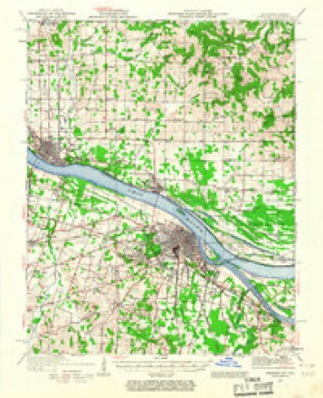
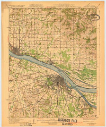
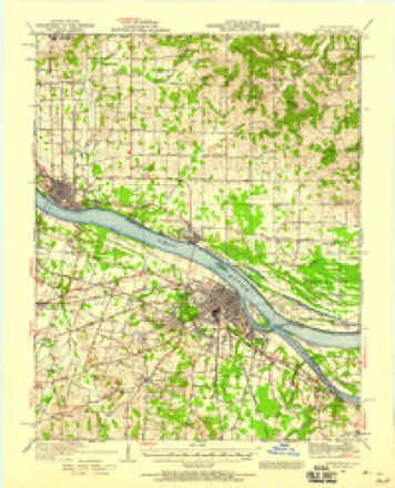
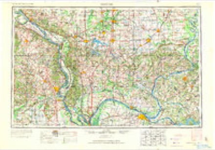
22 topographic sheets cover this place, the earliest surveyed in 1926 and the latest in 1987. It stands in the Paducah census division. It lies in ZIP code area 42086. It stands on West Fork Massac Creek. The Survey maps it on the Paducah West quadrangle.
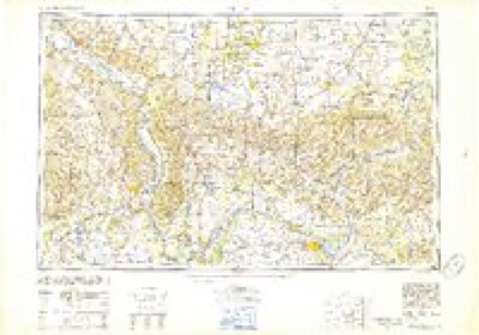
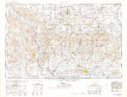
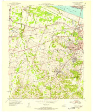
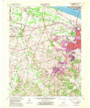
Topographic sheets covering this place
14 surveys from 22 printed sheetsMatched by testing this settlement's coordinate against the published boundary of every sheet in the United States Geological Survey's historical collection. Each opens the scanned sheet at the Survey.
- 1926 USGS Paducah quadrangle1:62500
- 1929 USGS Paducah quadrangle1:62500, 4 printings
- 1940 USGS Paducah quadrangle1:62500
- 1949 USGS Paducah quadrangle1:250000, 2 printings
- 1950 USGS Paducah quadrangle1:250000
- 1954 USGS Paducah quadrangle1:250000, 2 printings
- 1954 USGS Paducah West quadrangle1:24000
- 1958 USGS Paducah West quadrangle1:24000, 2 printings
- 1961 USGS Paducah quadrangle1:250000, 2 printings
- 1964 USGS Paducah quadrangle1:250000, 2 printings
- 1982 USGS Paducah West quadrangle1:24000
- 1984 USGS Paducah quadrangle1:100000
- 1986 USGS Paducah quadrangle1:100000
- 1987 USGS Paducah quadrangle1:250000
Fires near this place
33 since 1997Regional context, not property-specific evidence. The federal wildfire occurrence database lists 33 fires within 5 miles of Maxon between 1997 and 2016, burning about 401 acres in total. None started naturally. 1 was recorded as arson. Distance is straight-line from the map coordinates, so a fire counted here may appear on a neighbouring settlement's page as well.
| Reported cause | Fires |
|---|---|
| Missing data/not specified/undetermined | 17 |
| Recreation and ceremony | 9 |
| Railroad operations and maintenance | 3 |
| Smoking | 1 |
| Equipment and vehicle use | 1 |
| Debris and open burning | 1 |
| Arson/incendiarism | 1 |
The most recent of them, most recent first, with the day each was reported and the service that recorded it.
| Date | Cause | Size | Reported by | Name on the report |
|---|---|---|---|---|
| 29 September 2008 | Recreation and ceremony | 1.0 acres | Kentucky Division of Forestry | not named |
| 25 September 1999 | Missing data/not specified/undetermined | 5.0 acres | Kentucky Division of Forestry | not named |
| 23 September 1999 | Smoking | 3.0 acres | Kentucky Division of Forestry | not named |
| 20 September 2004 | Missing data/not specified/undetermined | 2.0 acres | Kentucky Division of Forestry | not named |
| 20 September 2004 | Missing data/not specified/undetermined | 1.0 acres | Kentucky Division of Forestry | not named |
| 30 August 1999 | Missing data/not specified/undetermined | 5.0 acres | Kentucky Division of Forestry | not named |
| 6 July 2012 | Missing data/not specified/undetermined | 1.0 acres | Kentucky Division of Forestry | FRIENDSHIP |
| 2 April 2009 | Recreation and ceremony | 1.0 acres | Kentucky Division of Forestry | not named |
Settlements close enough to share some of these fires:
Mines and quarries near this place
3 within 5 milesRegional context, not property-specific evidence. The federal mineral resources record lists 3 workings within 5 miles of Maxon: 3 past producers. None of them still produces. What was taken out: Sand and Gravel, Construction, Stone. Distance is straight-line from the map coordinates, so a quarry counted here may appear on a neighbouring settlement's page as well.
| Where | Site | Commodity | Status | Recorded |
|---|---|---|---|---|
| Massac County Pit | Stone, Sand and Gravel, Construction | Past Producer | ||
| Federal Sand & Gravel Dredge | Sand and Gravel, Construction | Past Producer | ||
| Metropolis Pit | Sand and Gravel, Construction | Past Producer |
Storms near this place
13 since 2009Regional context, not property-specific evidence. The National Weather Service names Maxon in 13 storm reports between 2009 and 2025: 6 thunderstorm wind, 3 flash flood, 1 heavy rain, 1 lightning. The reports record 1 injury. Each account below is quoted exactly as the forecast office filed it, from the NOAA Storm Events Database, and each date opens the federal record of that event.
| When | Event | Place named | Harm | What the report says |
|---|---|---|---|---|
| April 2011 | Lightning | Maxon | 1 hurt, $10,000 | A trained spotter was taking shelter during a tornado warning with two other individuals. After the storm, while coming out of their place of shelter, lightning struck a few feet above her. The lightning sent showers of sparks and burned a hole in the building she was standing beside. The lightning threw her ten feet from a sidewalk onto a gravel drive, causing some scratches and bruises. |
| June 2011 | Thunderstorm Wind | Maxon | $70,000 | A National Weather Service employee estimated a wind gust to 60 mph along U.S. Highway 60 just west of Paducah. At least a dozen trees were blown down in the Paducah area. One tree landed across a roadway. Another tree landed on a house in Paducah. Large tree limbs were blown down on the south side of Paducah. Some limbs were down on cars. Widespread power outages were reported. At the Paducah high school, a fence was damaged at the tennis courts. Track and field equipment was damaged. |
| March 2012 | Thunderstorm Wind | Maxon | $30,000 | A roof was blown off a home and onto Highway 268, just west of the highway 62 intersection. |
| June 2014 | Flash Flood | Maxon | $20,000 | Numerous roads in Paducah were flooded. Water was over bumper height. Several creeks and ditches were out of their banks, including Champion Creek. A vehicle was driven into Champion Creek floodwaters on Highway 994, causing a crash that injured the driver. Rainfall was measured at 2.58 inches in 80 minutes at the Paducah airport. An emergency management official reported 4 inches of rain about a mile south of Lone Oak. |
| August 2024 | Thunderstorm Wind | Maxon | $15,000 | Trees and powerlines were downed by thunderstorm winds near and along Carneal Rd, Noble Rd, and Bobo Rd. |
| August 2016 | Thunderstorm Wind | Maxon | $10,000 | Several trees were blown down. One tree landed on a house, causing minor damage. The damage occurred just south of Kentucky Highway 305 and west of Highway 998, west of the Paducah city limits. |
| March 2025 | Thunderstorm Wind | Maxon | $2,000 | Several large tree limbs were blown down and one tree was uprooted near Maxon Road and Keaton Road west of Paducah. |
| February 2025 | Flood | Maxon | - | Flooding along Massac Creek closed a portion of Highways 305 and 1585. |
| May 2016 | Flash Flood | Maxon | - | Just west of Paducah, flash flooding of a tributary of Massac Creek affected a county road. At least a foot of water was flowing over the road. |
| July 2016 | Flash Flood | Maxon | - | High water was over a county road just west of Paducah. |
| May 2013 | Hail | Maxon | - | Quarter-size hail occurred on the western edge of Paducah. |
| March 2012 | Thunderstorm Wind | Maxon | - | A 51 knot wind gust was measured at the Barkley Regional Airport. |
| September 2009 | Heavy Rain | Maxon | - | Minor flooding occurred in the usual problem areas on Kentucky Highways 998 and 1565 west of Paducah. |
Nearest settlements
The eight closest, with where each one stands in the county. Distances are straight-line, computed from the Geographic Names Information System coordinates.
| Map | Place | Distance | Sheets |
|---|---|---|---|
| West Paducah | 0.8 miles | 22 | |
| Palestine (historical) | 1.1 miles | 22 | |
| Maxon Crossing | 1.2 miles | 16 | |
| High Point | 1.9 miles | 22 | |
| Chiles | 2.0 miles | 22 | |
| Concord | 2.0 miles | 22 | |
| Futrell | 2.2 miles | 22 | |
| Grahamville | 2.9 miles | 16 |
Provenance
This settlement is recorded in the Geographic Names Information System as feature 508566. The sheet list is computed by point-in-boundary test against the United States Geological Survey's historical topographic inventory. Both are works of the United States government and carry no copyright under 17 U.S.C. 105.
Wildfire. Short, Karen C. 2022. Spatial wildfire occurrence data for the United States, 1992-2020 [FPA_FOD_20221014]. 6th Edition. Fort Collins, CO: Forest Service Research Data Archive. https://doi.org/10.2737/RDS-2013-0009.6 Collected with United States Government funding and usable without additional permissions or fees.
Mines and quarries. USGS Mineral Resources Data System (MRDS) https://mrdata.usgs.gov/mrds/ A work of the United States government, no copyright under 17 U.S.C. 105.
Storms. NOAA National Centers for Environmental Information, Storm Events Database https://www.ncei.noaa.gov/stormevents/ A work of the United States government, no copyright under 17 U.S.C. 105. Narratives are quoted verbatim from the National Weather Service report and are not edited or summarised.