 Block
West Paducah, Kentucky
22 topographic sheets cover this place, the earliest surveyed in 1926 and the latest in 1987. It stands in the Grahamville-Heath census division. It lies in ZIP code area 42086. It stands on Black Branch. The Survey maps it on the Paducah West quadrangle. It stands 361 feet above sea level.
On record in West Paducah
Buildings and businesses the archive holds for this place. Each opens its own page, with the source record it came from.
On the National Register 1 record
- Shawnee Steam Plantlisted 2016
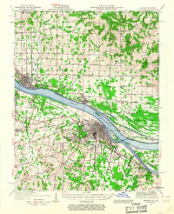
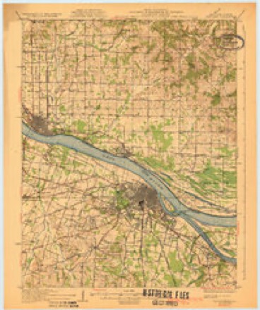
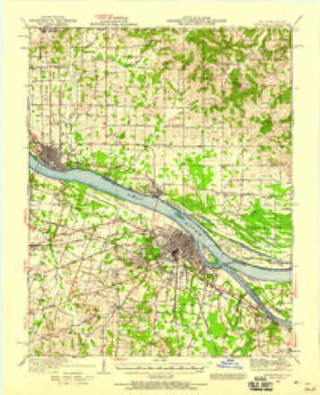
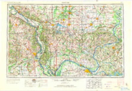
Topographic sheets covering this place
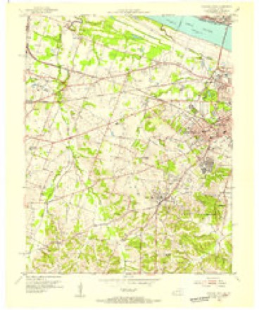
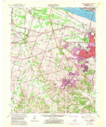
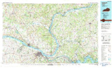
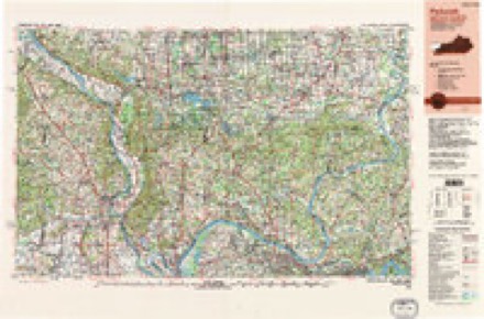
14 surveys from 22 printed sheetsMatched by testing this settlement's coordinate against the published boundary of every sheet in the United States Geological Survey's historical collection. Each opens the scanned sheet at the Survey.
- 1926 USGS Paducah quadrangle1:62500
- 1929 USGS Paducah quadrangle1:62500, 4 printings
- 1940 USGS Paducah quadrangle1:62500
- 1949 USGS Paducah quadrangle1:250000, 2 printings
- 1950 USGS Paducah quadrangle1:250000
- 1954 USGS Paducah quadrangle1:250000, 2 printings
- 1954 USGS Paducah West quadrangle1:24000
- 1958 USGS Paducah West quadrangle1:24000, 2 printings
- 1961 USGS Paducah quadrangle1:250000, 2 printings
- 1964 USGS Paducah quadrangle1:250000, 2 printings
- 1982 USGS Paducah West quadrangle1:24000
- 1984 USGS Paducah quadrangle1:100000
- 1986 USGS Paducah quadrangle1:100000
- 1987 USGS Paducah quadrangle1:250000
Fires near this place
33 since 1997Regional context, not property-specific evidence. The federal wildfire occurrence database lists 33 fires within 5 miles of West Paducah between 1997 and 2016, burning about 400 acres in total. None started naturally. 1 was recorded as arson. Distance is straight-line from the map coordinates, so a fire counted here may appear on a neighbouring settlement's page as well.
| Reported cause | Fires |
|---|---|
| Missing data/not specified/undetermined | 16 |
| Recreation and ceremony | 10 |
| Railroad operations and maintenance | 3 |
| Smoking | 1 |
| Equipment and vehicle use | 1 |
| Debris and open burning | 1 |
| Arson/incendiarism | 1 |
The most recent of them, most recent first, with the day each was reported and the service that recorded it.
| Date | Cause | Size | Reported by | Name on the report |
|---|---|---|---|---|
| 29 September 2008 | Recreation and ceremony | 1.0 acres | Kentucky Division of Forestry | not named |
| 25 September 1999 | Missing data/not specified/undetermined | 5.0 acres | Kentucky Division of Forestry | not named |
| 23 September 1999 | Smoking | 3.0 acres | Kentucky Division of Forestry | not named |
| 20 September 2004 | Missing data/not specified/undetermined | 2.0 acres | Kentucky Division of Forestry | not named |
| 20 September 2004 | Missing data/not specified/undetermined | 1.0 acres | Kentucky Division of Forestry | not named |
| 30 August 1999 | Missing data/not specified/undetermined | 5.0 acres | Kentucky Division of Forestry | not named |
| 22 August 2012 | Recreation and ceremony | under an acre | Kentucky Division of Forestry | MT. ZION C |
| 6 July 2012 | Missing data/not specified/undetermined | 1.0 acres | Kentucky Division of Forestry | FRIENDSHIP |
Settlements close enough to share some of these fires:
Mines and quarries near this place
3 within 5 milesRegional context, not property-specific evidence. The federal mineral resources record lists 3 workings within 5 miles of West Paducah: 3 past producers. None of them still produces. What was taken out: Sand and Gravel, Construction, Stone. Distance is straight-line from the map coordinates, so a quarry counted here may appear on a neighbouring settlement's page as well.
| Where | Site | Commodity | Status | Recorded |
|---|---|---|---|---|
| Massac County Pit | Stone, Sand and Gravel, Construction | Past Producer | ||
| Federal Sand & Gravel Dredge | Sand and Gravel, Construction | Past Producer | ||
| Metropolis Pit | Sand and Gravel, Construction | Past Producer |
Storms near this place
15 since 1996Regional context, not property-specific evidence. The National Weather Service names West Paducah in 15 storm reports between 1996 and 2018: 9 thunderstorm wind, 2 flood, 2 flash flood, 1 heavy rain. No death or injury is recorded in these reports. Each account below is quoted exactly as the forecast office filed it, from the NOAA Storm Events Database, and each date opens the federal record of that event.
| When | Event | Place named | Harm | What the report says |
|---|---|---|---|---|
| June 2014 | Flash Flood | West Paducah | $150,000 | Widespread flash flooding occurred in Paducah. Between 4.8 and 5.5 inches of rain was measured in less than two hours. Numerous vehicles were stranded on flooded streets. Some people were rescued from stranded cars by police and fire personnel. A railroad underpass on a major city street was impassable. Garages and basements were flooded. Several apartments and at least one home were flooded. In the downtown Paducah area, the courthouse and jail were flooded. |
| June 2004 | Thunderstorm Wind | West Paducah | $100,000 | A microburst with winds up to 75 MPH affected an area on the west side of Paducah 1.8 miles long and 0.7 mile wide. The damage path was entirely along Kentucky Highway 305, beginning about 2 miles west of Interstate 24 and ending about 100 yards west of exit 3 on the interstate. Small sheds and outbuildings were destroyed, siding and roofs were damaged, and trees were uprooted or snapped. A pontoon boat was blown into a motor home, damaging both. A flatbed trailer was extensively damaged by a tree that fell on it. Three utility poles were broken, and 10 spans of wire between poles were knocked down by trees. Kentucky Highway 305 and a set of railroad tracks were closed due to trees and power lines down. |
| May 1996 | Thunderstorm Wind | West Paducah | $75,000 | no account filed |
| August 2012 | Thunderstorm Wind | West Paducah | $20,000 | A wind gust to 59 mph was measured at Barkley Regional Airport, four miles west of Paducah. Numerous tree limbs and a few small trees were blown down about a mile north of the airport. A tree fell on a house in the city of Paducah. |
| August 1997 | Thunderstorm Wind | West Paducah | $10,000 | Numerous trees were blown down in a small area south of Barkley Regional Airport. The microburst brought down some large trees up to 70 feet tall. At least one road was blocked by fallen trees. |
| August 2016 | Thunderstorm Wind | West Paducah | $7,000 | In West Paducah, a large tree was down on a house. A couple miles southwest of West Paducah, a tree was down on a road. |
| November 2017 | Thunderstorm Wind | West Paducah | $5,000 | On the west side of Paducah, a few downed trees were photographed and posted on social media. One of the trees fell over Highway 305. A highway sign along Interstate 24 near exit 4 was damaged. Power outages were reported. |
| July 2006 | Thunderstorm Wind | West Paducah | $3,000 | Trees were down in Lone Oak. Power lines were down in West Paducah. |
| June 2007 | Flash Flood | West Paducah | $2,000 | The automated observing system at the National Weather Service office at Barkley Regional Airport measured about 2.65 inches of rain in one hour. Extensive street flooding was reported countywide. Water crept into the county courthouse basement, wetting some carpet. Four people were injured in a rear-end collision on Interstate 24 when several vehicles slowed in the heavy rain. Standing water on U.S. Highway 60 near the Ballard County line contributed to an accident. |
| October 2001 | Thunderstorm Wind | West Paducah | $2,000 | Five tree tops, up to 20 inches in diameter, were blown down. Along the Ballard County line, a 40-foot television tower and a tree limb fell on a roof, causing minor damage. |
| March 2008 | Flood | West Paducah | - | A few roads were covered by water. West of Paducah, a pickup truck ran off a road into a flooded creek. The occupants of the truck were found standing on top of the vehicle, which was almost entirely under water. Swift water divers from the county rescue squad went out about 30 feet into the water and got the men into an inflatable boat. Both victims were treated for mild hypothermia. |
| April 2008 | Heavy Rain | West Paducah | - | Water was over eight roads, mainly lesser travelled secondary roads. No closures were reported. Massac Creek was three to four inches over Old Cairo Road at Maxon Road. |
| December 2007 | Flood | West Paducah | - | Massac Creek was out of its banks near Highway 305. Highway 1565 was flooded at the 5 mile marker. |
| May 2018 | Hail | West Paducah | - | no account filed |
| March 1996 | Thunderstorm Wind | West Paducah | - | no account filed |
Nearest settlements
The eight closest, with where each one stands in the county. Distances are straight-line, computed from the Geographic Names Information System coordinates.
| Map | Place | Distance | Sheets |
|---|---|---|---|
| Maxon Crossing | 0.4 miles | 16 | |
| Maxon | 0.8 miles | 22 | |
| Palestine (historical) | 1.1 miles | 22 | |
| Chiles | 2.1 miles | 22 | |
| Heath | 2.4 miles | 16 | |
| Concord | 2.5 miles | 22 | |
| Milburn Chapel (historical) | 2.5 miles | 16 | |
| Grahamville | 2.5 miles | 16 |
Elsewhere
Matched on this settlement's Geographic Names Information System number rather than its name, so it cannot be a different place of the same name in another state.
| Wikipedia article on West Paducah | An encyclopaedic summary. Its text is share-alike, so it is linked here rather than copied. |
| Wikidata item Q7986136 | The structured record the population and elevation above come from. Public domain (CC0). |
Provenance
This settlement is recorded in the Geographic Names Information System as feature 506464. The sheet list is computed by point-in-boundary test against the United States Geological Survey's historical topographic inventory. Both are works of the United States government and carry no copyright under 17 U.S.C. 105.
Wildfire. Short, Karen C. 2022. Spatial wildfire occurrence data for the United States, 1992-2020 [FPA_FOD_20221014]. 6th Edition. Fort Collins, CO: Forest Service Research Data Archive. https://doi.org/10.2737/RDS-2013-0009.6 Collected with United States Government funding and usable without additional permissions or fees.
Mines and quarries. USGS Mineral Resources Data System (MRDS) https://mrdata.usgs.gov/mrds/ A work of the United States government, no copyright under 17 U.S.C. 105.
Storms. NOAA National Centers for Environmental Information, Storm Events Database https://www.ncei.noaa.gov/stormevents/ A work of the United States government, no copyright under 17 U.S.C. 105. Narratives are quoted verbatim from the National Weather Service report and are not edited or summarised.