 Block
Newport, Kentucky
19 topographic sheets cover this place, the earliest surveyed in 1898 and the latest in 1986. It stands in the Newport-Fort Thomas census division. It lies in ZIP code area 41071. The Survey maps it on the Newport quadrangle. 14,150 people lived here at the 2020 count. It stands 512 feet above sea level.
On record in Newport
Buildings and businesses the archive holds for this place. Each opens its own page, with the source record it came from.
On the National Register 12 of 19 shown
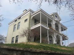 Bellevuelisted 1976
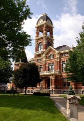 Campbell County Courthouse at Newportlisted 1988
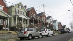 Cote Brillante Historic Districtlisted 2005
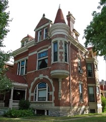 Mansion Hill Historic Districtlisted 1980
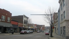 Monmouth Street Historic Districtlisted 1996
 Newport and Cincinnati Bridgelisted 2001
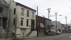 Newport Courthouse Square Historic Districtlisted 2010
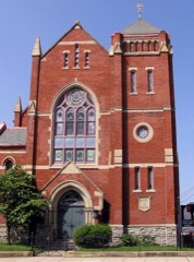 Salem Methodist Episcopal Church and Parsonagelisted 1986
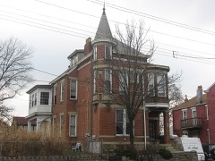 August Sauer Houselisted 1997
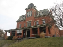 Southgate-Parker-Maddux Houselisted 1977
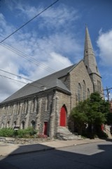 St. Paul's Episcopal Churchlisted 1980
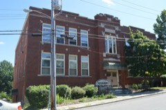 St. Vincent de Paul Schoollisted 1989
Every listing in Campbell County
Surveyed buildings and structures 11 records
- George Wiedemann Brewery Complex, #7 Bottling Shop, Sixth & Columbia Streets, Newportfederal building survey, 8 photographs
- George Wiedemann Brewery Complex, #7A Bottling Shop, Sixth & Columbia Streets, Newportfederal building survey, 2 photographs
- George Wiedemann Brewery Complex, Boiler Room, Sixth & Columbia Streets, Newportfederal building survey, 2 photographs
- George Wiedemann Brewery Complex, Brew House, Sixth & Columbia Streets, Newportfederal building survey, 2 photographs
- George Wiedemann Brewery Complex, Case Warehouse, Sixth & Columbia Streets, Newportfederal building survey, 2 photographs
- George Wiedemann Brewery Complex, Engine Room, Sixth & Columbia Streets, Newportfederal building survey, 2 photographs
- George Wiedemann Brewery Complex, Main Office, Sixth & Columbia Streets, Newportfederal building survey, 5 photographs
- George Wiedemann Brewery Complex, Racking & Wash House, Sixth & Columbia Streets, Newportfederal building survey, 1 photograph
- George Wiedemann Brewery Complex, Sixth & Columbia Streets, Newportfederal building survey, 9 photographs
- Palm Beach Building, 501 Washington Street, Newportfederal building survey, 17 photographs
- U.S. Route 27 Central Bridge, Spanning Ohio River, Newportfederal building survey, 34 photographs
Population over time
2 figuresNewport fell from 15,273 to 14,150 between 2010 and 2020. These are the recorded population figures Wikidata holds for this place, reached through the Geographic Names Information System number this page is keyed on rather than by name, so they belong to this place and not to another of the same name. Most are census counts, but not all are: an early figure may be a founding or settlement estimate, and an estimate published within five years of a census is left out. The change column is computed, and is left blank where more than 20 years separate a figure from the one before it, because a gap that long is not a change between two counts.
| Year | People | Change |
|---|---|---|
| 2010 | 15,273 | |
| 2020 | 14,150 | -1,123 (-7%) |
Topographic sheets covering this place
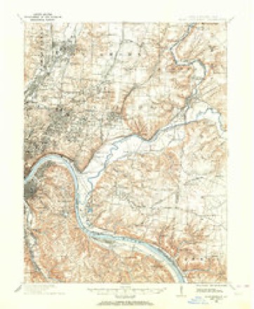
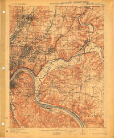
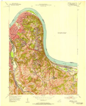
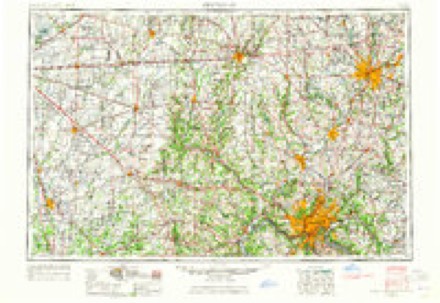
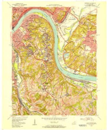
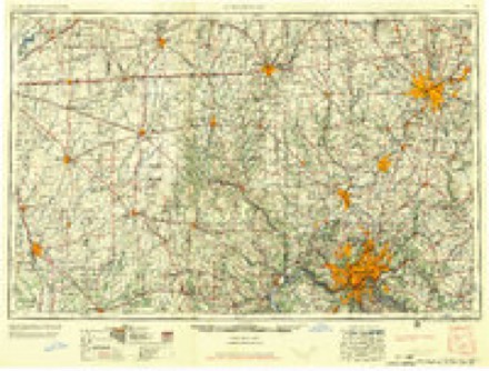
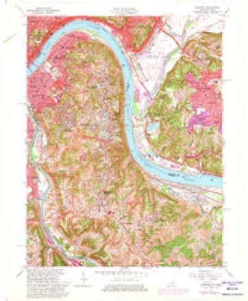
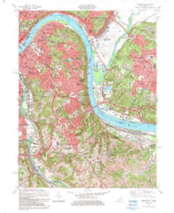
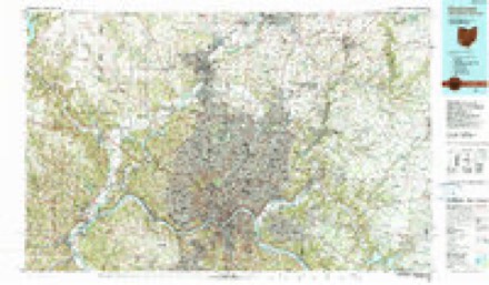
9 surveys from 19 printed sheetsMatched by testing this settlement's coordinate against the published boundary of every sheet in the United States Geological Survey's historical collection. Each opens the scanned sheet at the Survey.
- 1898 USGS East Cincinnati quadrangle1:62500
- 1914 USGS East Cincinnati quadrangle1:62500, 4 printings
- 1952 USGS Newport quadrangle1:24000
- 1953 USGS Cincinnati quadrangle1:250000, 3 printings
- 1955 USGS Newport quadrangle1:24000
- 1957 USGS Cincinnati quadrangle1:250000
- 1961 USGS Newport quadrangle1:24000, 3 printings
- 1983 USGS Newport quadrangle1:24000, 2 printings
- 1986 USGS Cincinnati quadrangle1:100000, 3 printings
Photographs
8 of 10 photographs shown, 2020Taken for the Office of War Information and the Farm Security Administration, who photographed the country between 1935 and 1944. Works of United States government photographers, with no known restriction on use. Each opens its catalogue record.
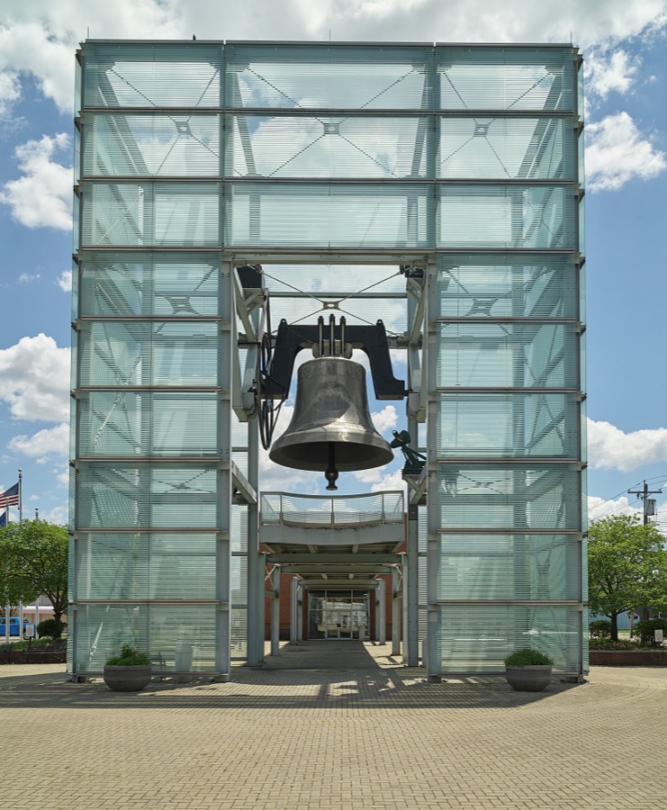
Highsmith, Carol M, 2020. Library of Congress
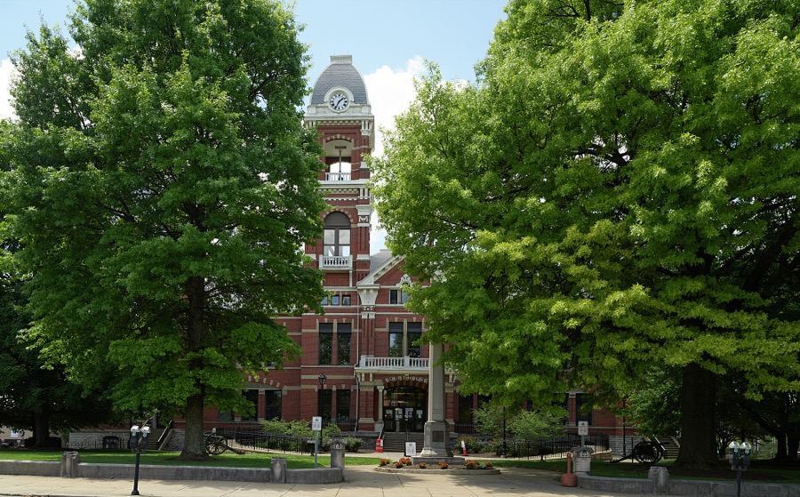
Highsmith, Carol M, 2020. Library of Congress
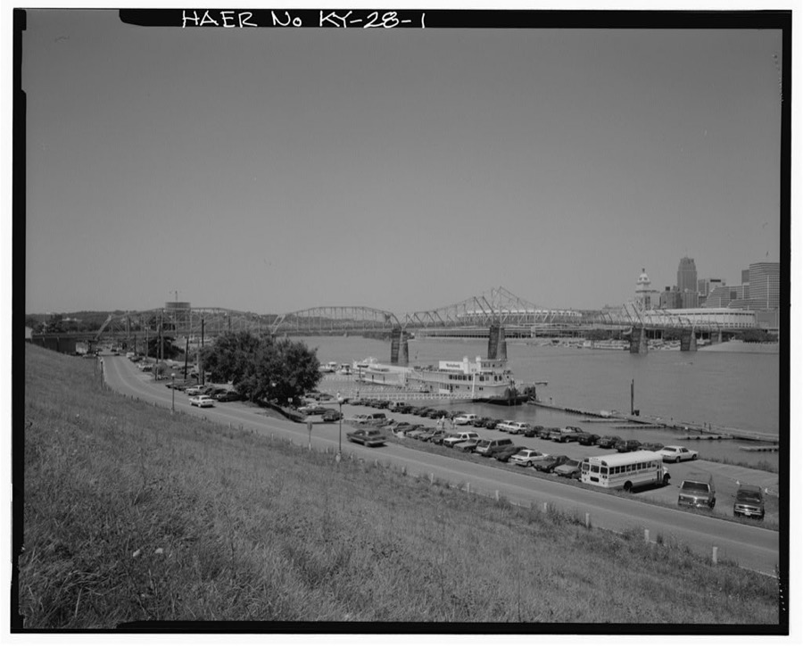
Photographer not recorded. Library of Congress
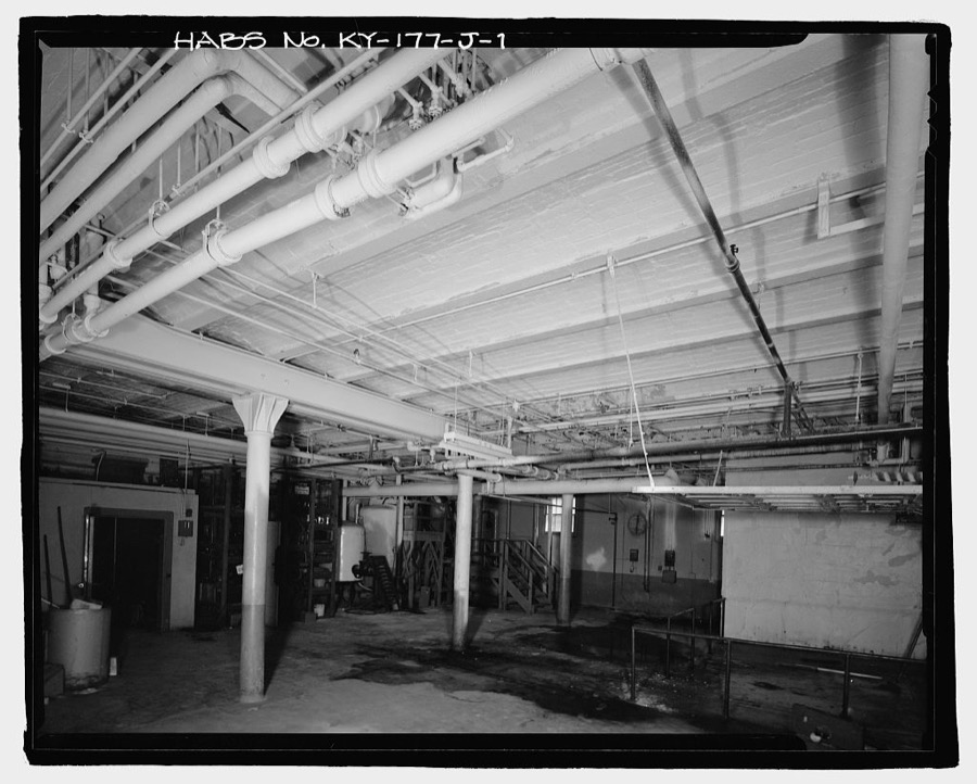
Photographer not recorded. Library of Congress
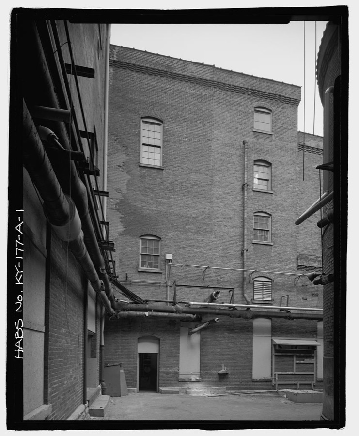
Photographer not recorded. Library of Congress
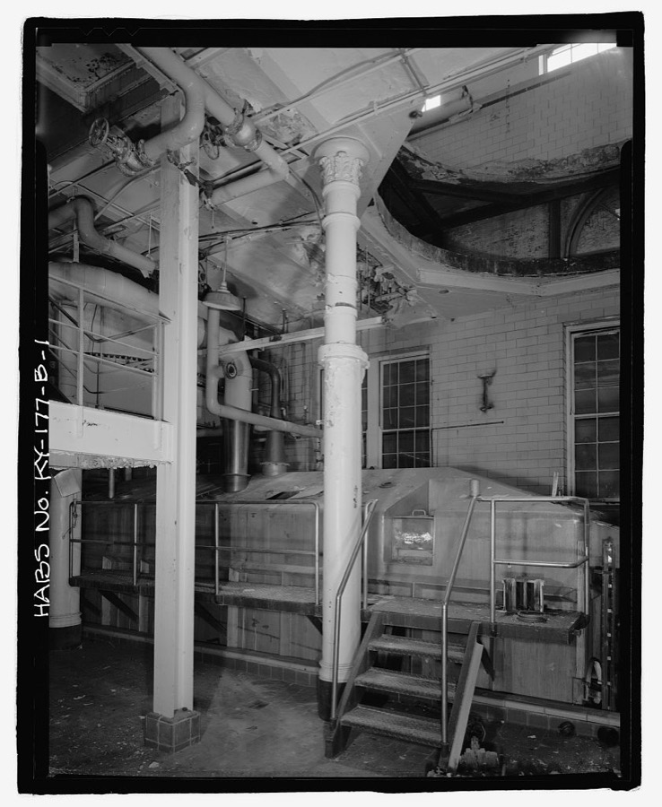
Photographer not recorded. Library of Congress
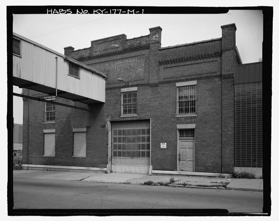
Photographer not recorded. Library of Congress
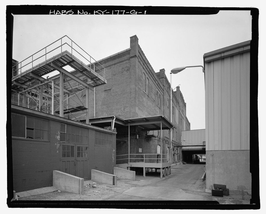
Photographer not recorded. Library of Congress
Every photograph of Campbell County
Mines and quarries near this place
2 within 5 milesRegional context, not property-specific evidence. The federal mineral resources record lists 2 workings within 5 miles of Newport: 2 unknowns. None of them still produces. What was taken out: Tin, Lead, Antimony, Zirconium. Distance is straight-line from the map coordinates, so a quarry counted here may appear on a neighbouring settlement's page as well.
| Where | Site | Commodity | Status | Recorded |
|---|---|---|---|---|
| Avril Co/ Cincinnati, Ohio | Tin, Lead, Antimony | Unknown | ||
| N L Industries/ Cincinnati, Ohio | Zirconium | Unknown |
Storms near this place
28 since 1995Regional context, not property-specific evidence. The National Weather Service names Newport in 28 storm reports between 1995 and 2025: 13 thunderstorm wind, 6 flash flood, 5 hail, 3 flood. No death or injury is recorded in these reports. Each account below is quoted exactly as the forecast office filed it, from the NOAA Storm Events Database, and each date opens the federal record of that event.
| When | Event | Place named | Harm | What the report says |
|---|---|---|---|---|
| May 2020 | Flash Flood | Newport | $50,000 | State Route 9 was closed due to a landslide near the Wilder/Newport border. |
| July 2016 | Flash Flood | Newport | $50,000 | Over 20 homes were flooded, with up to 6 feet of water in more than a dozen of the homes. |
| July 2013 | Flood | Newport | $50,000 | Several basements of homes on Riddle Place in Newport were flooded due to heavy rainfall. |
| November 2013 | Thunderstorm Wind | Newport | $20,000 | Roof and fascia damage occurred to a shopping plaza due to thunderstorm winds. |
| July 1998 | Thunderstorm Wind | Newport | $20,000 | Strong winds caused a roof to be blown off a structure. |
| March 2025 | Thunderstorm Wind | Newport | $10,000 | A large tree was downed onto a residence. |
| July 2019 | Thunderstorm Wind | Newport | $10,000 | Several trees and power lines were downed in the Newport area, including on 4th Avenue, in the 100 block of Covert Run Pike and near the intersection of Waterworks Road and Taylor Avenue. |
| August 2018 | Thunderstorm Wind | Newport | $5,000 | Several trees were reported knocked down on cars. |
| July 2015 | Thunderstorm Wind | Newport | $5,000 | A large tree fell onto a car on 4th Street in Newport. |
| July 2007 | Thunderstorm Wind | Newport | $5,000 | Numerous trees were knocked down across the northern part of the county. |
| September 2016 | Thunderstorm Wind | Newport | $4,000 | Several trees were downed in the Newport area. |
| July 2015 | Thunderstorm Wind | Newport | $3,000 | A few trees were downed in Dayton. |
| September 2015 | Thunderstorm Wind | Newport | $3,000 | Several trees and power lines were downed. |
| July 2025 | Thunderstorm Wind | Newport | $2,000 | Two trees were downed along Isabella Street in Newport, between 7th and 8th Streets. |
| June 2012 | Thunderstorm Wind | Newport | $2,000 | Trees were reported down in the Newport area due to damaging thunderstorm winds. |
| April 2017 | Thunderstorm Wind | Newport | $1,000 | A tree was reported knocked down in the 800 block of Lincoln Road. |
| July 2013 | Flash Flood | Newport | $1,000 | Roads were closed from 11th Street and Monmouth Street to 18th Street and Monmouth Street due to heavy rainfall. |
| July 2010 | Flash Flood | Newport | $1,000 | Roads were impassible due to heavy rainfall that caused flash flooding. |
| May 2009 | Hail | Newport | $1,000 | no account filed |
| April 2024 | Flood | Newport | - | High water was reported on Moock Road at Woodland Hills Drive. |
| July 2019 | Flood | Newport | - | High water was reported on several streets in Newport. |
| August 2016 | Flash Flood | Newport | - | Several streets were flooded by over one foot of water. |
| April 2014 | Heavy Rain | Newport | - | High water due to poor drainage was reported on Highway 27 in Newport. |
| August 2003 | Flash Flood | Newport | - | Numerous roads were flooded and closed across the southern Cincinnati suburbs. Several homes had flooded basements. |
| May 2018 | Hail | Newport | - | no account filed |
| September 2018 | Hail | Newport | - | no account filed |
| June 2005 | Hail | Newport | - | no account filed |
| June 1995 | Hail | Newport | - | no account filed |
Nearest settlements
The eight closest, with where each one stands in the county. Distances are straight-line, computed from the Geographic Names Information System coordinates.
| Map | Place | Distance | Sheets |
|---|---|---|---|
| The Estates At Wiedemann Mansion | 0.7 miles | 19 | |
| Clifton | 0.8 miles | 19 | |
| Cote Brilliant | 1.0 miles | 19 | |
| Woodlawn | 1.1 miles | 19 | |
| Bellevue | 1.4 miles | 19 | |
| Southgate | 1.8 miles | 19 | |
| Dayton | 1.9 miles | 19 | |
| Rossford | 2.4 miles | 19 |
Elsewhere
Matched on this settlement's Geographic Names Information System number rather than its name, so it cannot be a different place of the same name in another state.
| Wikipedia article on Newport | An encyclopaedic summary. Its text is share-alike, so it is linked here rather than copied. |
| Wikidata item Q1762809 | The structured record the population and elevation above come from. Public domain (CC0). |
Provenance
This settlement is recorded in the Geographic Names Information System as feature 499438. The sheet list is computed by point-in-boundary test against the United States Geological Survey's historical topographic inventory. Both are works of the United States government and carry no copyright under 17 U.S.C. 105.
Mines and quarries. USGS Mineral Resources Data System (MRDS) https://mrdata.usgs.gov/mrds/ A work of the United States government, no copyright under 17 U.S.C. 105.
Storms. NOAA National Centers for Environmental Information, Storm Events Database https://www.ncei.noaa.gov/stormevents/ A work of the United States government, no copyright under 17 U.S.C. 105. Narratives are quoted verbatim from the National Weather Service report and are not edited or summarised.