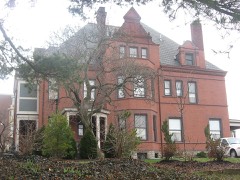
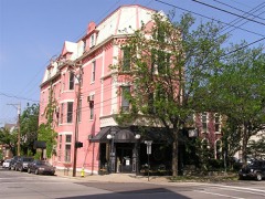
BlockBefore

Campbell County, Kentucky

58 topographic sheets and 6 fire insurance atlases across 2 places.

Research this county

From the record

72 National Register listings published here.

Sources: the National Register database, National Park Service

Kentucky within the United States
Campbell County within Kentucky

What the record shows

  • 2 places in this county were surveyed for fire insurance: Newport, Dayton, between 1886 and 1953.
  • 6 fire insurance atlases survive for the county. Topographic coverage is national; fire insurance survey reached only incorporated places with something worth insuring.
  • 869 topographic sheet readings cover the county's settlements.
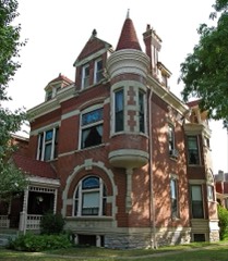
  • 72 properties here are on the National Register of Historic Places: 54 buildings, 15 districts, 2 structures and 1 site.
  • 3 of the 72 listings were added during the 1970s.
  • The Geographic Names Information System records 57 populated places in this county; 57 are covered by at least one topographic sheet.

Photographs

36 photographs, 1942 to 2020

Taken for the Office of War Information and the Farm Security Administration, who photographed the country between 1935 and 1944. Works of United States government photographers, with no known restriction on use. Each opens its catalogue record.
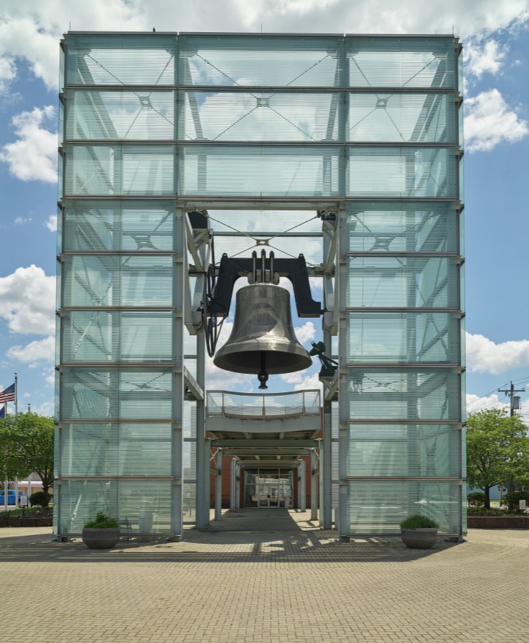
The Newport, Kentucky, World Peace Bell was, for a period of six years from 2000 to 2006, the largest swinging bell in the world
Highsmith, Carol M, 2020. Library of Congress
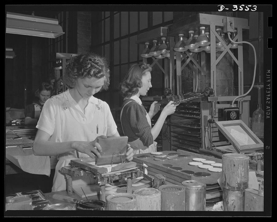
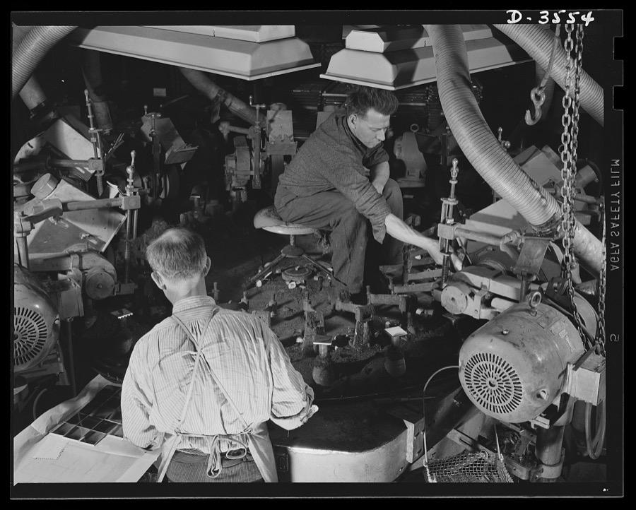
Conversion. Watch cases to war production. Milad's compact goes to war  as a compass case. When operators at a Kentucky watch case factory ran the last batch of compacts through the automatic polishing machine, they immediately began work on war essentials. Wadsworth Watch Company, Louisville, Kentucky
Conversion. Watch cases to war production. Milad's compact goes to war as a compass case. When operators at a Kentucky watch case factory ran the last batch of compacts through the automatic polishing machine, they immediately began work on war essentials. Wadsworth Watch Company, Louisville, Kentucky
Palmer, Alfred T., photographer, 1942. Library of Congress
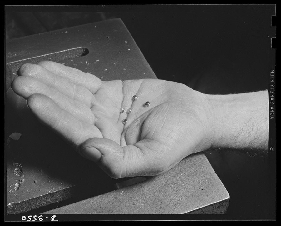
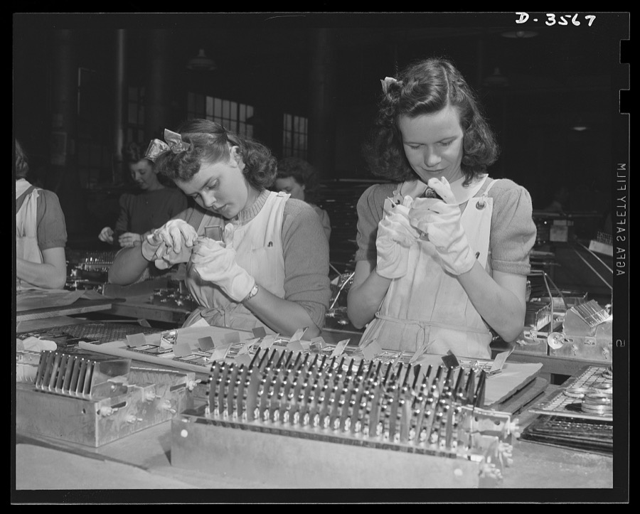
Conversion. Watch cases to war production. Little giants. Tiny fuse baffles, vital to victory, are produced for the Picatinny Arsenal in a Kentucky plant that formerly made watch cases. Wadsworth Watch Company, Louisville, Kentucky
Palmer, Alfred T., photographer, 1942. Library of Congress
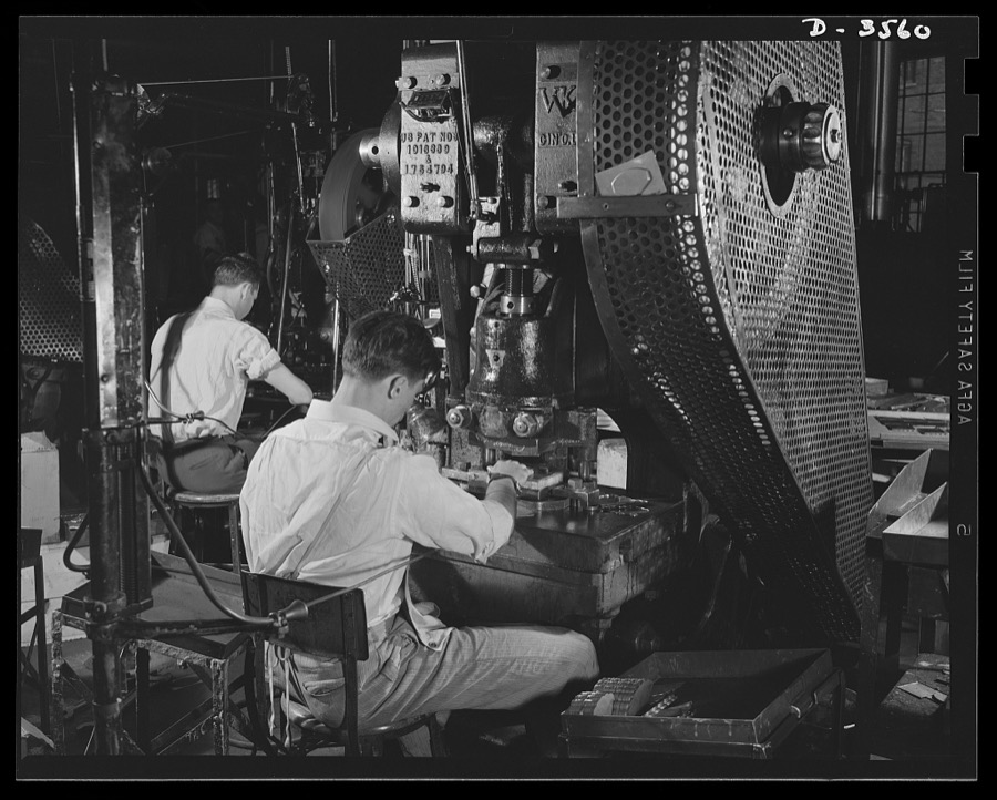
Conversion. Watch cases to war production. Last of the old order. A half-emptied box at a punch press holds the final batch of brass parts for women's compacts to be processed in a Kentucky watch case factory before complete conversion to war prodution. Note safety cords attached to operator's arms. Wadsworth Watch Company, Louisville, Kentucky
Palmer, Alfred T., photographer, 1942. Library of Congress
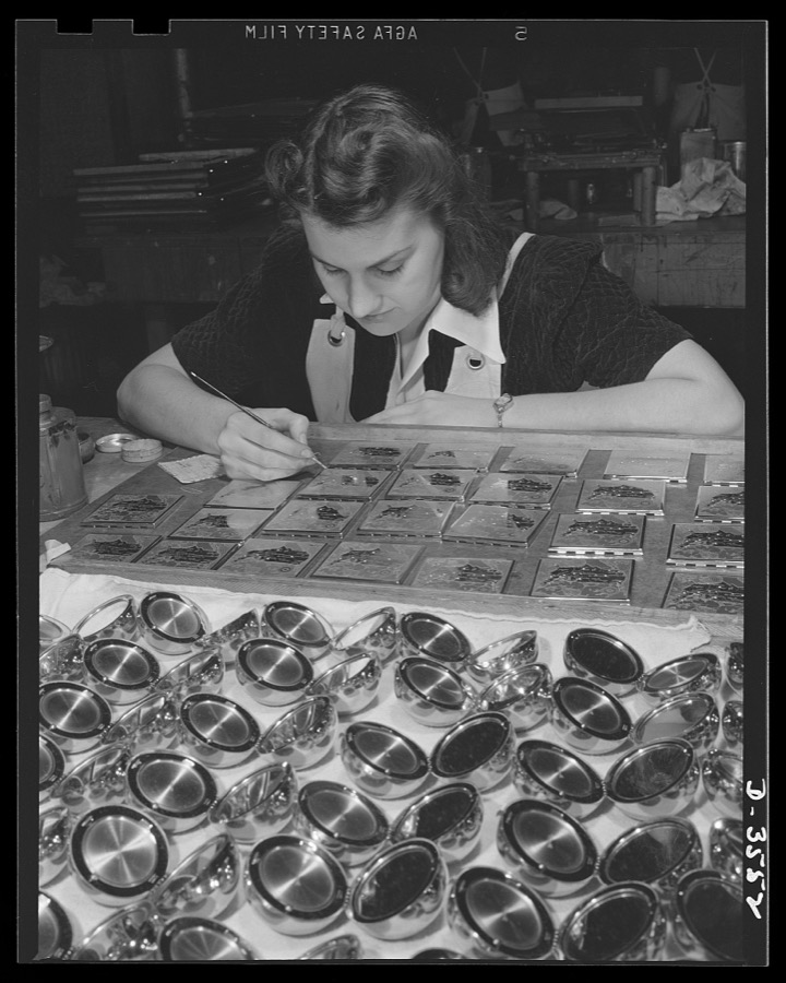
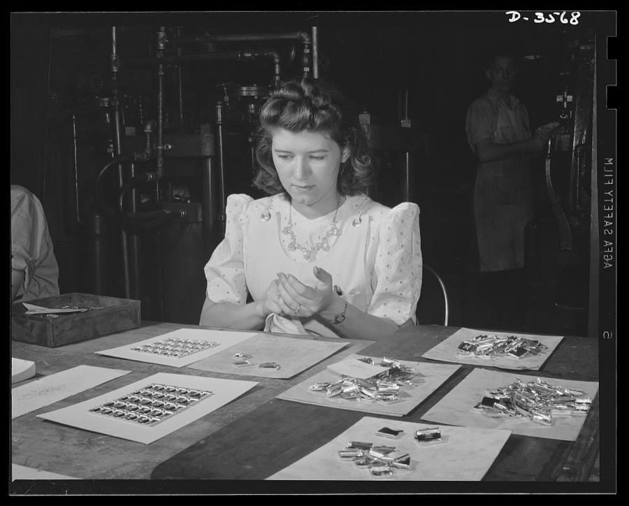
Conversion. Watch cases to war production. The last of the compacts. When the operator has finished decorating the last batch of novelty compacts going through a converted watch case factory, she'll help the plant turn out war essentials. Wadsworth Watch Company, Louisville, Kentucky
Palmer, Alfred T., photographer, 1942. Library of Congress
Conversion. Watch cases to war production. Squaring away for war Production. When the last batch of watch cases goes down the line of punch presses at a Kentucky factory, the trained operator will begin turning out compass cases, radio parts and small carbine machine gun parts for our armed forces. Note safety cords on all except second worker. He's die maker seting up a new job. Wadsworth Watch Company, Louisville, Kentucky
Palmer, Alfred T., photographer, 1942. Library of Congress
Conversion. Watch cases to war production. Converted for victory. The same machine and operator that were producing watches not long ago are now making precision radio parts for our armed forces
Palmer, Alfred T., photographer, 1942. Library of Congress
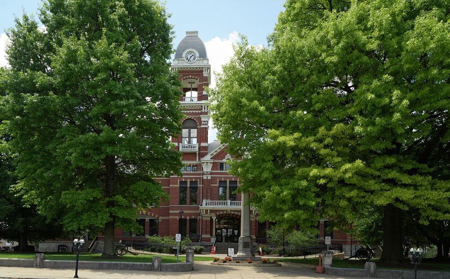
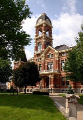
The Campbell County Courthouse in the Ohio River city of Newport, Kentucky, was completed in 1884
Highsmith, Carol M, 2020. Library of Congress
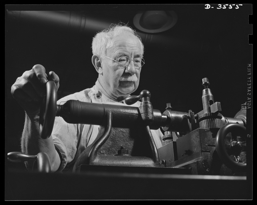
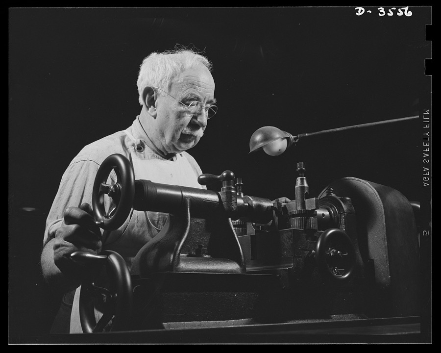
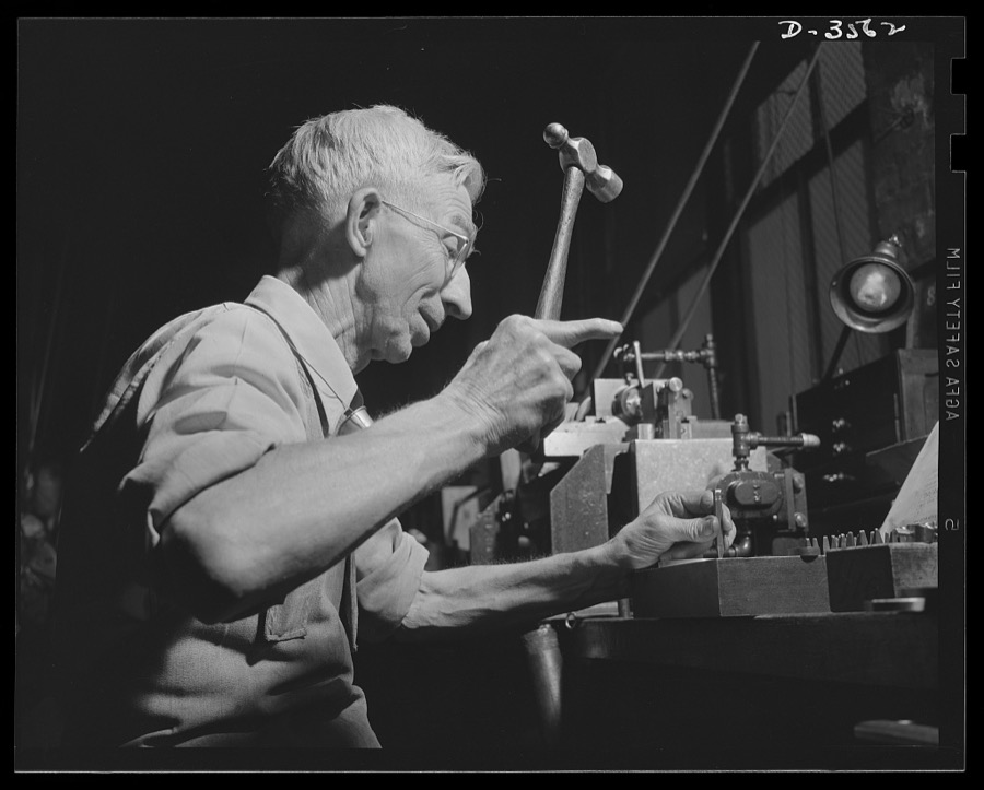
Conversion. Watch cases to war production. His hair is white, but his eye is keen. Fifty years of precision work for a Kentucky watch-case manufacturer, now converted to war production, gave this artisan rare skill in developing fine dies for the arsenal of democracy. Wadsworth Watch Company, Louisville, Kentucky
Palmer, Alfred T., photographer, 1942. Library of Congress
Conversion. Watch cases to war production. His hair is white, but his eye is keen. Fifty years of precision work for a Kentucky watch case manufacturer, now converted to war production, gave this aritsan rare skill in developing fine dies for the arsenal of democracy. Wadsworth Watch Company, Louisville, Kentucky
Palmer, Alfred T., photographer, 1942. Library of Congress
Conversion. Watch cases to war production. Compacts out, war production in. One of the last batches of luxury items is put through a Kentucky watch case plant now engaged in the production of gun parts, fuse baffles, compass cases and other essentials for our fighters. Wadsworth Watch Company, Louisville, Kentucky
Palmer, Alfred T., photographer, 1942. Library of Congress
Conversion. Watch cases to war production. Clearing away for war production. The last batch of watch case backs will soon be cleaned and another skilled operator at a large Kentucky plant will work on the production of compass cases, bomb fuse baffles and parts for carbine and machine guns. Wadsworth Watch Company, Louisville, Kentucky
Palmer, Alfred T., photographer, 1942. Library of Congress
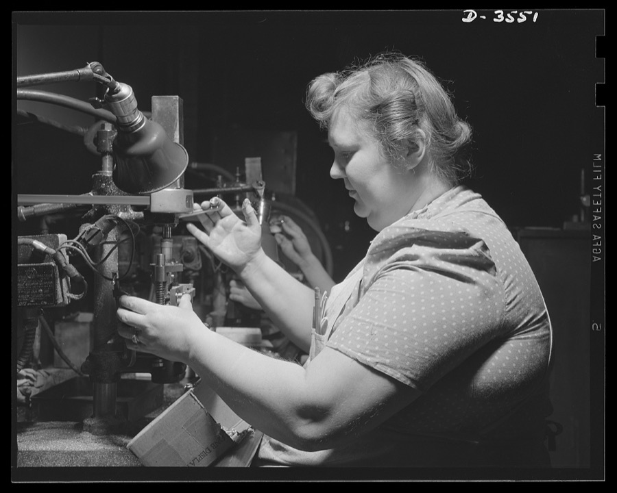
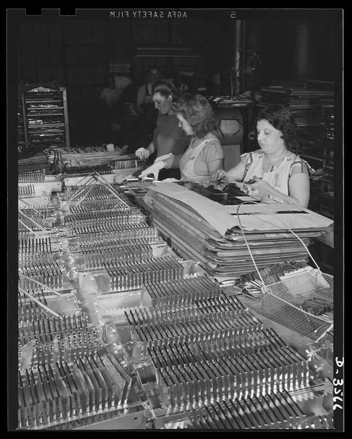
Conversion. Watch cases to war production. They'll be doing war work soon. When the last batch of ladies' compacts is cleaned at a converted Kentucky plant, these girls will use their skill in the prduction of bomb fuse baffles, compass cases and parts for carbine and machine guns. Wadsworth Watch Company, Louisville, Kentucky
Palmer, Alfred T., photographer, 1942. Library of Congress
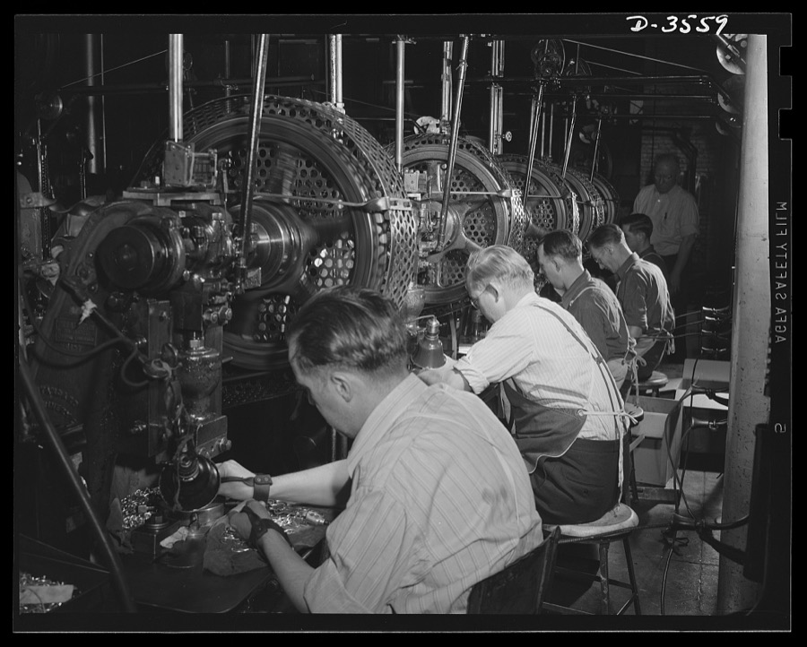
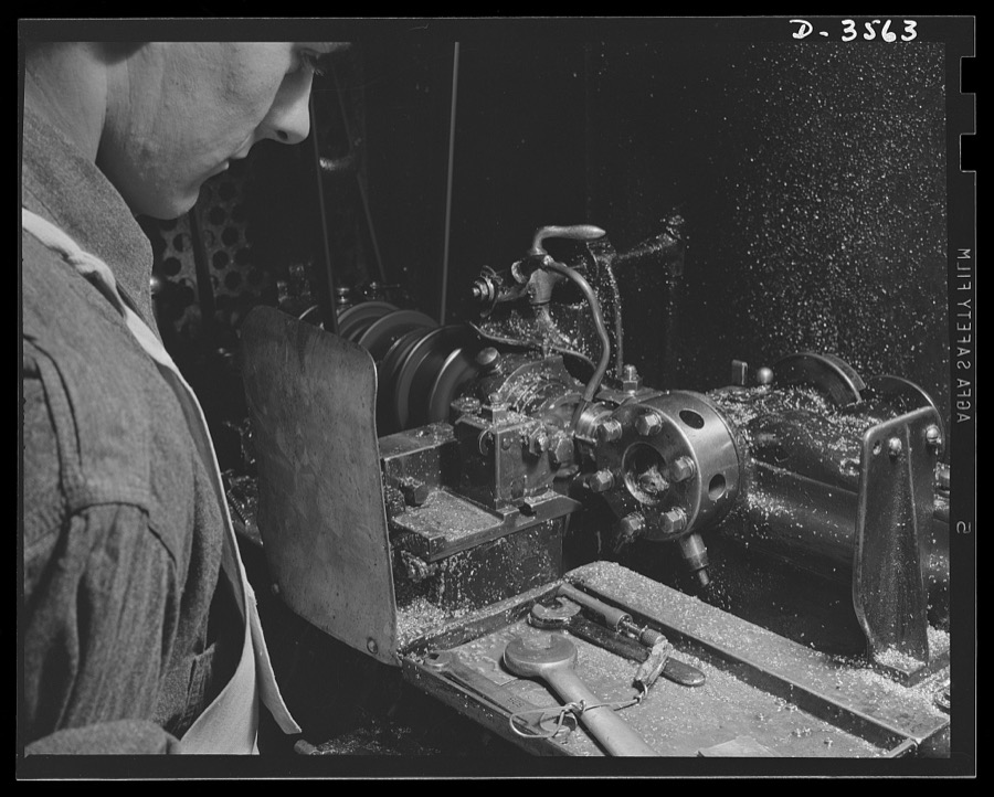
Conversion. Watch cases to war production. Keeping the chips flying. An automatic screw machine that was turning watch case crowns a year ago now works on bomb fuse baffles as a large Kentucky factory goes entirely on war Production. Wadsworth Watch Company, Louisville, Kentucky
Palmer, Alfred T., photographer, 1942. Library of Congress
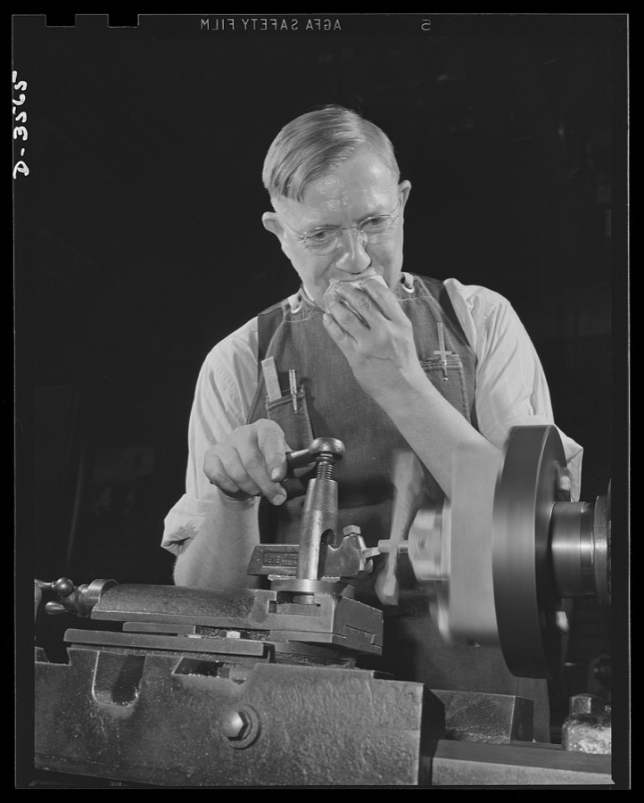
Conversion. Watch cases to war production. No time out for eating on an overtime job. Making bomb sights comes easy to him, for he has had long experience in precision work at a commercial Kentucky watch case factory now entirely on a war production basis. Wadsworth Watch Company, Louisville, Kentucky
Palmer, Alfred T., photographer, 1942. Library of Congress
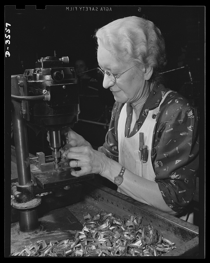
Conversion. Watch cases to war production. Another skilled worker "enlists" for the duration. When the Kentucky watch case factory for whom she has worked twenty years converted to war production, this lady was ready to join the procession of war workers. Wadsworth Watch Company, Louisville, Kentucky
Palmer, Alfred T., photographer, 1942. Library of Congress
Conversion. Watch cases to war production. Luxury production gives way to war Production. Preparing the last batch of ladies' compacts for the plating room in a large Kentucky plant now converted to the manufacture of machine gun and carbine parts, bomb fuse baffles, compass cases and other essentials for war. Wadsworth Watch Company, Louisville, Kentucky
Palmer, Alfred T., photographer, 1942. Library of Congress
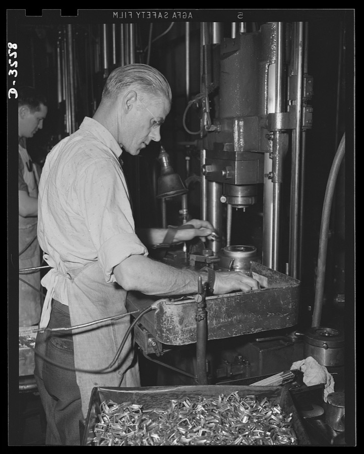
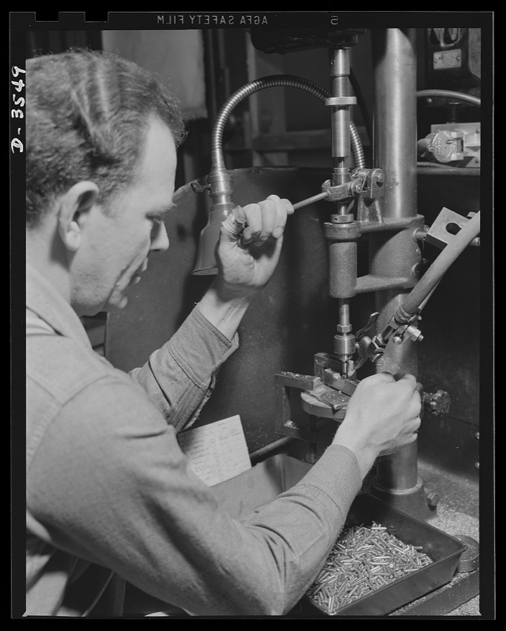
Conversion. Watch cases to war production. Volume for victory. His skill in the making of luxury items is an asset for a Kentucky watch case factory now producing compass cases, fuse baffles, gun parts and other war essentials. Wadsworth Watch Company, Louisville, Kentucky
Palmer, Alfred T., photographer, 1942. Library of Congress
Conversion. Watch cases to war production. Skill and experience back the production drive. A die maker in a converted Kentucky watch case factory brings rare ability to the plant's new job of making compass cases, fuse baffles, machine gun parts and other war essentials. Wadsworth Watch Company, Louisville, Kentucky
Palmer, Alfred T., photographer, 1942. Library of Congress
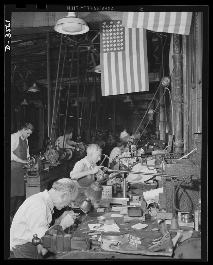
Conversion. Watch cases to war production. Conversion, all the day. The fourty-five star flag above a worker in a converted watch case factory marks a soldier of the firing line of '98, now a soldier of the production line of '42. The plant makes small carbine and machine gun parts, compass cases and radio parts for our armed forces. Wadsworth Watch Company, Louisville, Kentucky
Palmer, Alfred T., photographer, 1942. Library of Congress
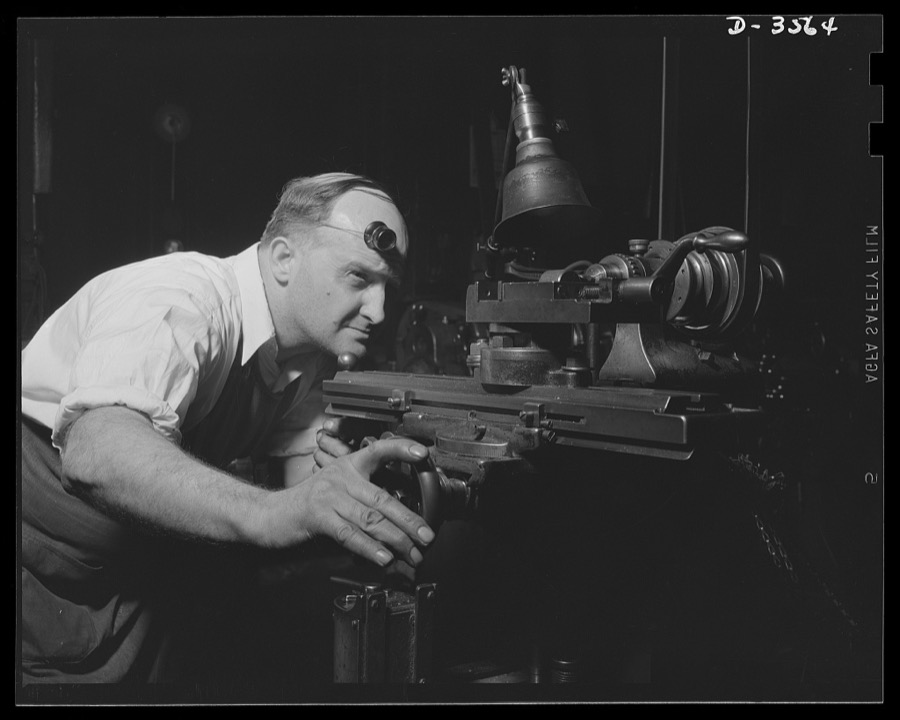
Conversion. Watch cases to war production. Sighting one of the "guns" of production. A diemaker in a converted Kentucky watch case factory sets his machine for the production of fine parts for carbines, machine guns and military radios. Wadsworth Watch Company, Louisville, Kentucky
Palmer, Alfred T., photographer, 1942. Library of Congress
Conversion. Watch cases to war production. Volunteers for Victory. The fine machinery and skilled operators of a commercial watch case factory are now producing precision radio parts for the armed forces. Wadsworth Watch Company, Louisville, Kentucky
Palmer, Alfred T., photographer, 1942. Library of Congress
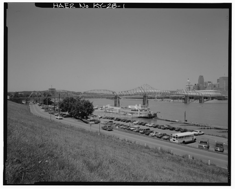
U.S. Route 27 Central Bridge, Spanning Ohio River, Newport, Campbell County, KY
Photographer not recorded. Library of Congress
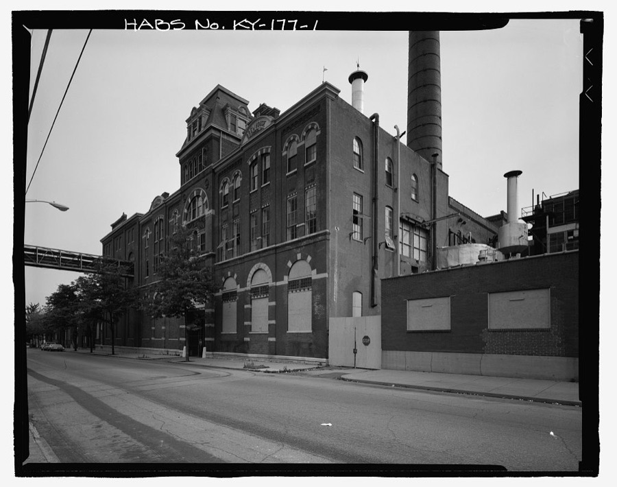
George Wiedemann Brewery Complex, #7A Bottling Shop, Sixth & Columbia Streets, Newport, Campbell County, KY
Photographer not recorded. Library of Congress
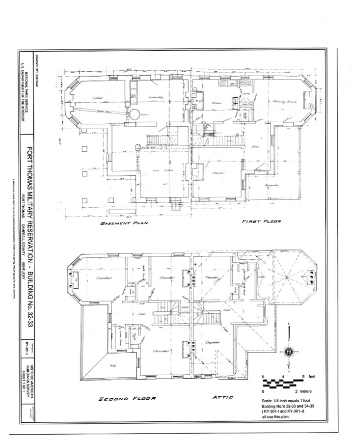
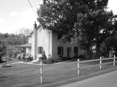
Fort Thomas Military Reservation Administrative Officers' Quarters, Building No. 32-33, 32-33 Cochran Avenue, Fort Thomas, Campbell County, KY
Photographer not recorded. Library of Congress
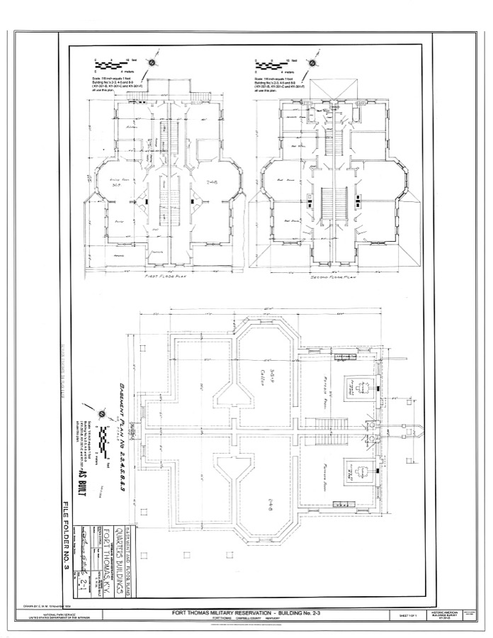
Fort Thomas Military Reservation Administrative Officers' Quarters, Building No. 2-3, 2-3 Alexander Circle, Fort Thomas, Campbell County, KY
Photographer not recorded. Library of Congress
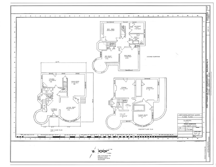
Fort Thomas Military Reservation Administrative Officers' Quarters, Building No. 6, 6 Alexander Circle, Fort Thomas, Campbell County, KY
Photographer not recorded. Library of Congress
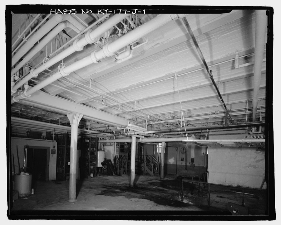
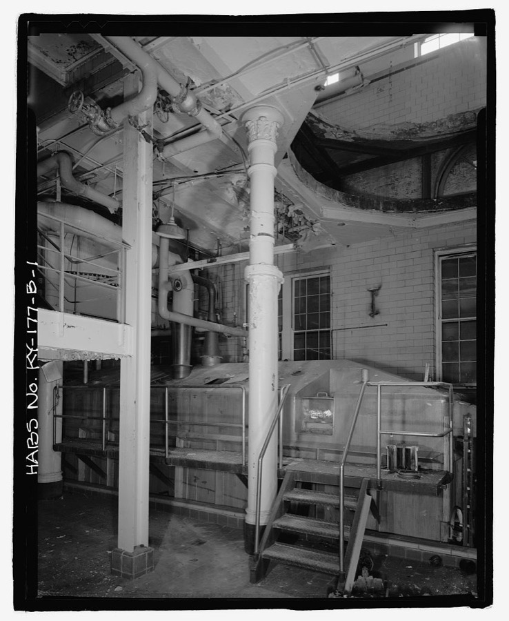
George Wiedemann Brewery Complex, Boiler Room, Sixth & Columbia Streets, Newport, Campbell County, KY
Photographer not recorded. Library of Congress
George Wiedemann Brewery Complex, Brew House, Sixth & Columbia Streets, Newport, Campbell County, KY
Photographer not recorded. Library of Congress
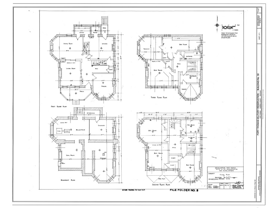
Fort Thomas Military Reservation Administrative Officers' Quarters, Building No. 30, 30 Alexander Circle, Fort Thomas, Campbell County, KY
Photographer not recorded. Library of Congress
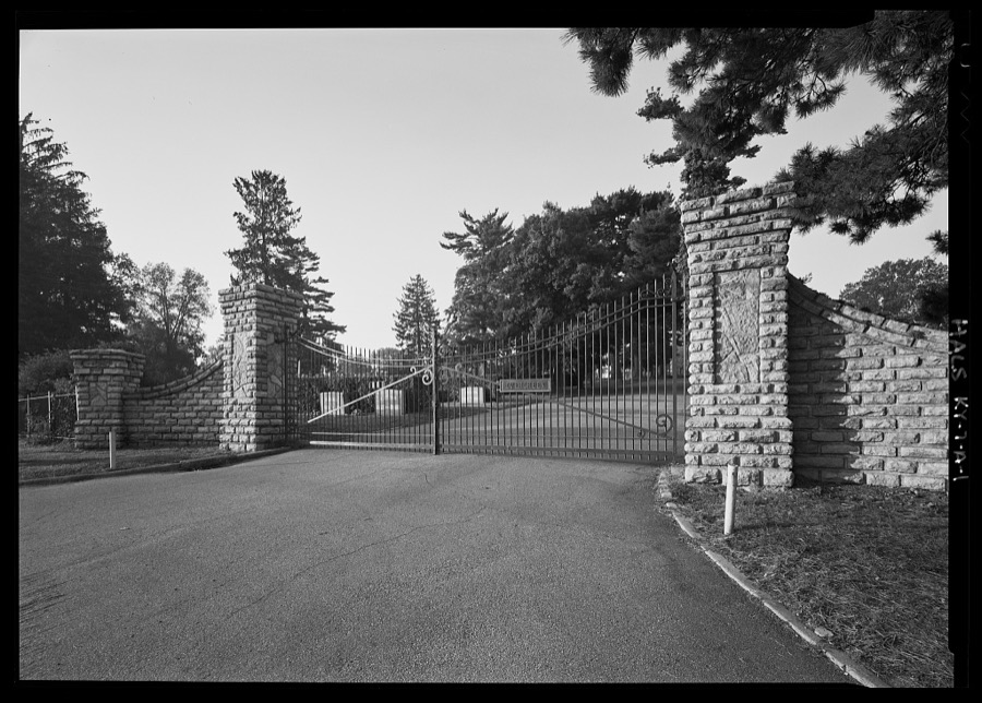
Evergreen Cemetery, Soldiers' Lot, 25 South Alexandria Pike, Southgate, Campbell County, KY
Photographer not recorded. Library of Congress
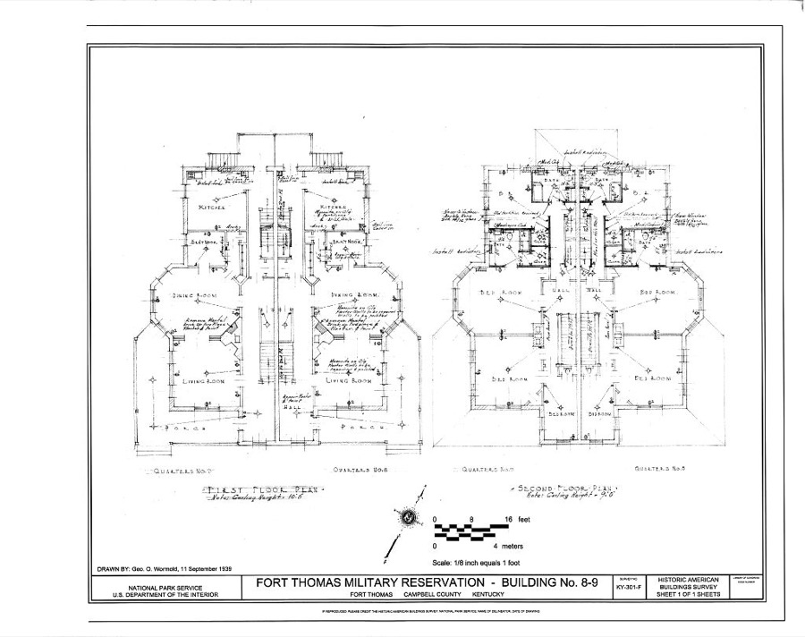
Fort Thomas Military Reservation Administrative Officers' Quarters, Building No. 8-9, 8-9 Alexander Circle, Fort Thomas, Campbell County, KY
Photographer not recorded. Library of Congress
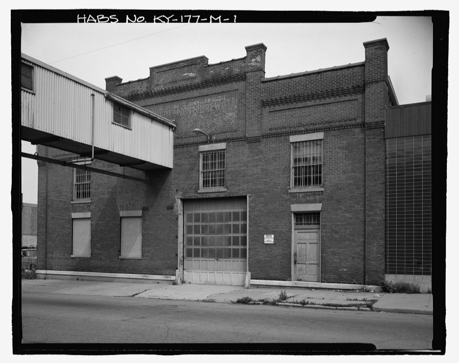
George Wiedemann Brewery Complex, Case Warehouse, Sixth & Columbia Streets, Newport, Campbell County, KY
Photographer not recorded. Library of Congress
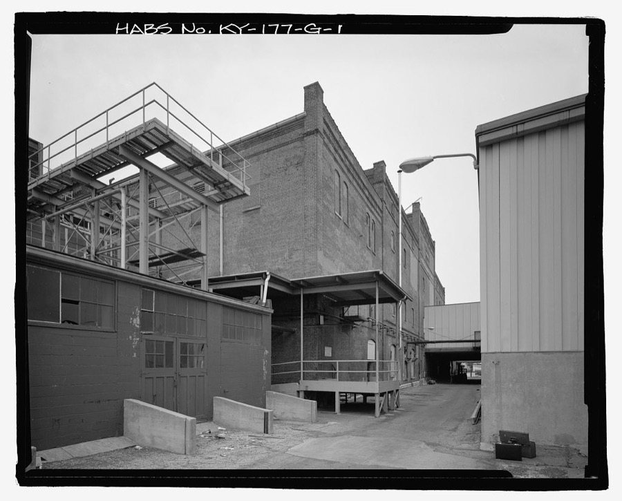
George Wiedemann Brewery Complex, Racking & Wash House, Sixth & Columbia Streets, Newport, Campbell County, KY
Photographer not recorded. Library of Congress
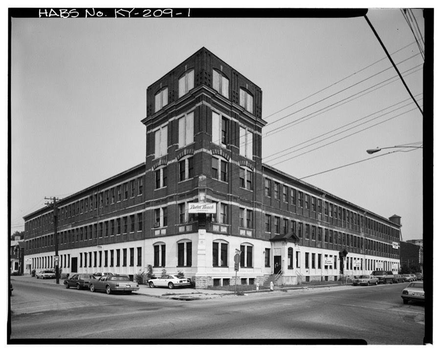
Palm Beach Building, 501 Washington Street, Newport, Campbell County, KY
Photographer not recorded. Library of Congress
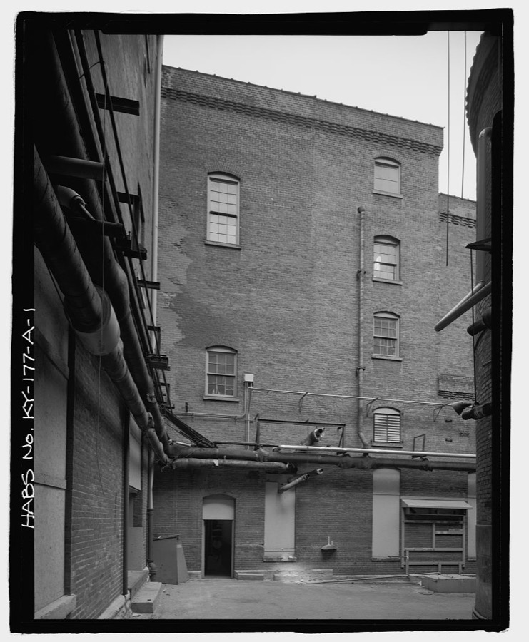
George Wiedemann Brewery Complex, Sixth & Columbia Streets, Newport, Campbell County, KY
Photographer not recorded. Library of Congress

Places on the National Register

72

Every property in this county listed on the National Register of Historic Places, with the year it was listed and the federal nomination document.

Photograph PropertyType ListedReference
Peter Barth Farmbuilding198383002594
Baumann Housebuilding198383002595
Bellevuebuilding197676000857
Bellevue High Schoolbuilding198686000026
Bishoff Housebuilding198383002622
Blau's Four Mile Housebuilding198383002596
Blenk Housebuilding198383002597
Bonnie Leslie Historic Districtbuilding2018100002153
John Braun Housebuilding198383002598
Buena Vista Historic Districtdistrict2020100004978
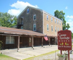
Camp Spring Housebuilding198383002599
Campbell County Courthouse at Newportbuilding198888000181
Cote Brillante Historic Districtdistrict200505000791
Dayton City Hallbuilding2022100007373
Dayton High Schoolbuilding198585001579
Doyle Country Clubdistrict2017100000735
East Newport Historic Districtdistrict198383002600
John Faha Housebuilding198383002601
Fairfield Avenue Historic Districtdistrict198888000100
Foote-Fister Mansionbuilding198888000099
Fort Thomas Commercial Districtdistrict200808000003
Fort Thomas Military Reservation Districtdistrict198686001103
Fort Thomas Women's Clubbuilding2023100008738
Grote Manufacturing Company Building (CP337)building2019100003473
Gubser-Schuchter Farmbuilding198383002602
Heiert Farmbuilding198383002603
Elijah Herndon Housebuilding198383002604
Highland Country Clubdistrict2024100010708
Hilbert Farmbuilding198383002605
Harlan Hubbard Studiobuilding201616000493
Kort Grocerybuilding198383002606
Frederich Kremer Housebuilding198383002607
Matthias Kremer Housebuilding198383002608
Nicholas Kremer Housebuilding198383002609
Leick Housebuilding198383002610
Mansion Hill Historic Districtdistrict198080001493
Mansion Hill Historic District (Boundary Increase)district198585001678
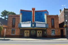
Marianne Theaterbuilding201515000081
Monmouth Street Historic Districtdistrict199696000794
Newport Courthouse Square Historic Districtdistrict201009001306
Newport and Cincinnati Bridgestructure200101000363
Ort-Heeb Farmbuilding198383002611
Posey Flatsbuilding198786003730
Reitman Housebuilding198383002612
Reitman's St.Joseph Housebuilding198383002613
Andrew Ritter Farmbuilding198383002614
E.O. Robinson Housebuilding2017100001420
Roth Farmbuilding198383002615
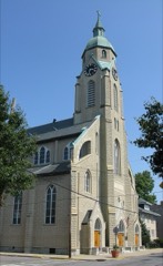
Sacred Heart Churchbuilding197474000856
Salem Methodist Episcopal Church and Parsonagebuilding198686000608
August Sauer Housebuilding199797000873
Sauser Farmbuilding198383002616
Joseph Seiter Housebuilding198686000617
Southgate-Parker-Maddux Housebuilding197777000605
St John's Lutheran Cemeterysite198383002617
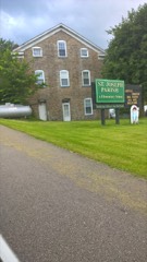
St. John the Baptist Roman Catholic Churchdistrict198080001495
St. Joseph's Catholic Church and Cemeterybuilding198383002618
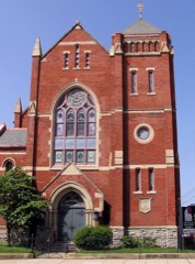
St. Paul's Episcopal Churchbuilding198080001494
St. Vincent de Paul Schoolbuilding198989001598
John Stevens Housebuilding2024100010707
Taylor's Daughters Historic Districtdistrict198888000101
Terrace Gardensbuilding2023100009534
Third Street Motor Car Company Buildingbuilding200202001465
Tiemeyer Housebuilding198383002619
Trutschell Housebuilding198383002620
U.S. Army Fort Thomas Mess Hallbuilding198080001492
Uebel Housebuilding198383002621
Walter Housebuilding200783004584
John Weber Farmbuilding200707000672
Charles Wiedemann Housebuilding198484001401
York Street Historic Districtdistrict202495000640

Photographs from libraries nationwide

30 of 32 shown

Selected from the Digital Public Library of America's 32 image records catalogued for this county. Every one shown here carries a public-domain status or a licence that permits reuse on a site that carries advertising; non-commercial, share-alike and restricted images are excluded. The selection is spread across the county's towns (at most eight per town), so no single institution's bulk upload crowds out the rest. Each opens the holding library's record, and the complete set at the Digital Public Library of America is one click away.

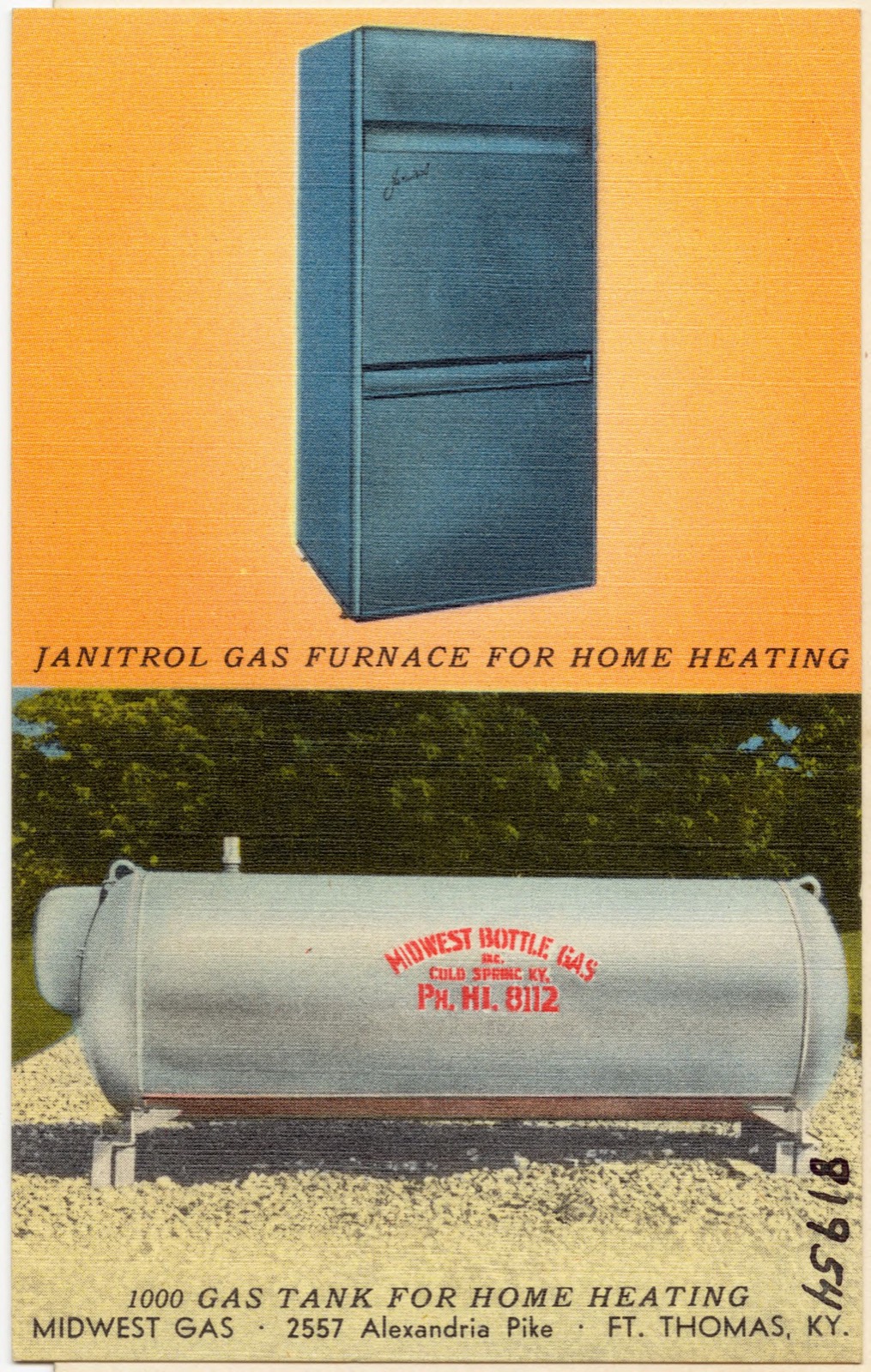
Midwest Gas, 2557 Alexandria Pike, Ft. Thomas, KY., Boston Public Library - undated
Midwest Gas, 2557 Alexandria Pike, Ft. Thomas, KY.. Boston Public Library, via the Digital Public Library of America.
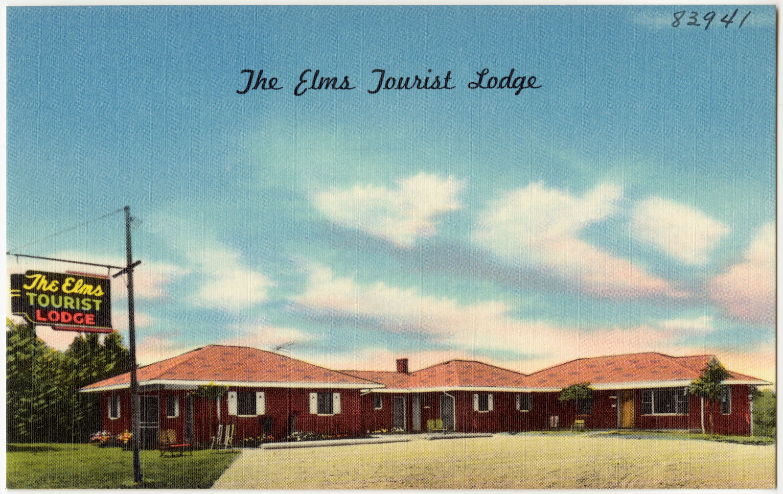
The Elms Tourist Lodge, Boston Public Library - undated
The Elms Tourist Lodge. Boston Public Library, via the Digital Public Library of America.
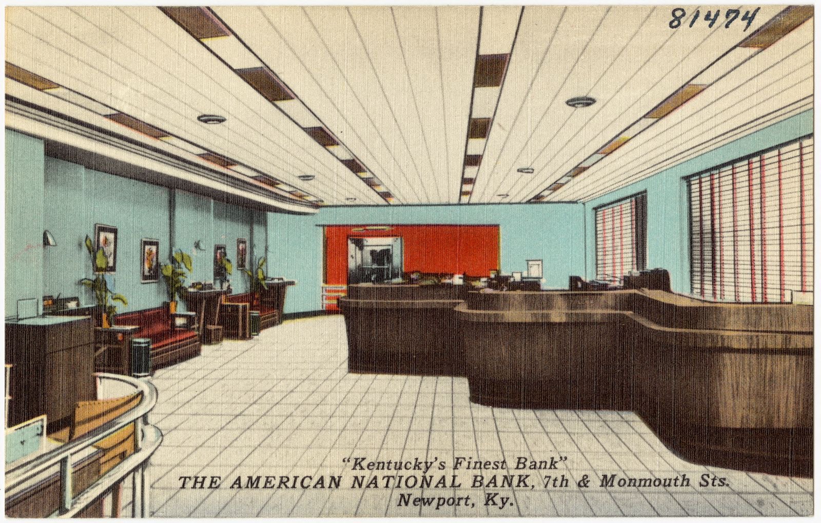
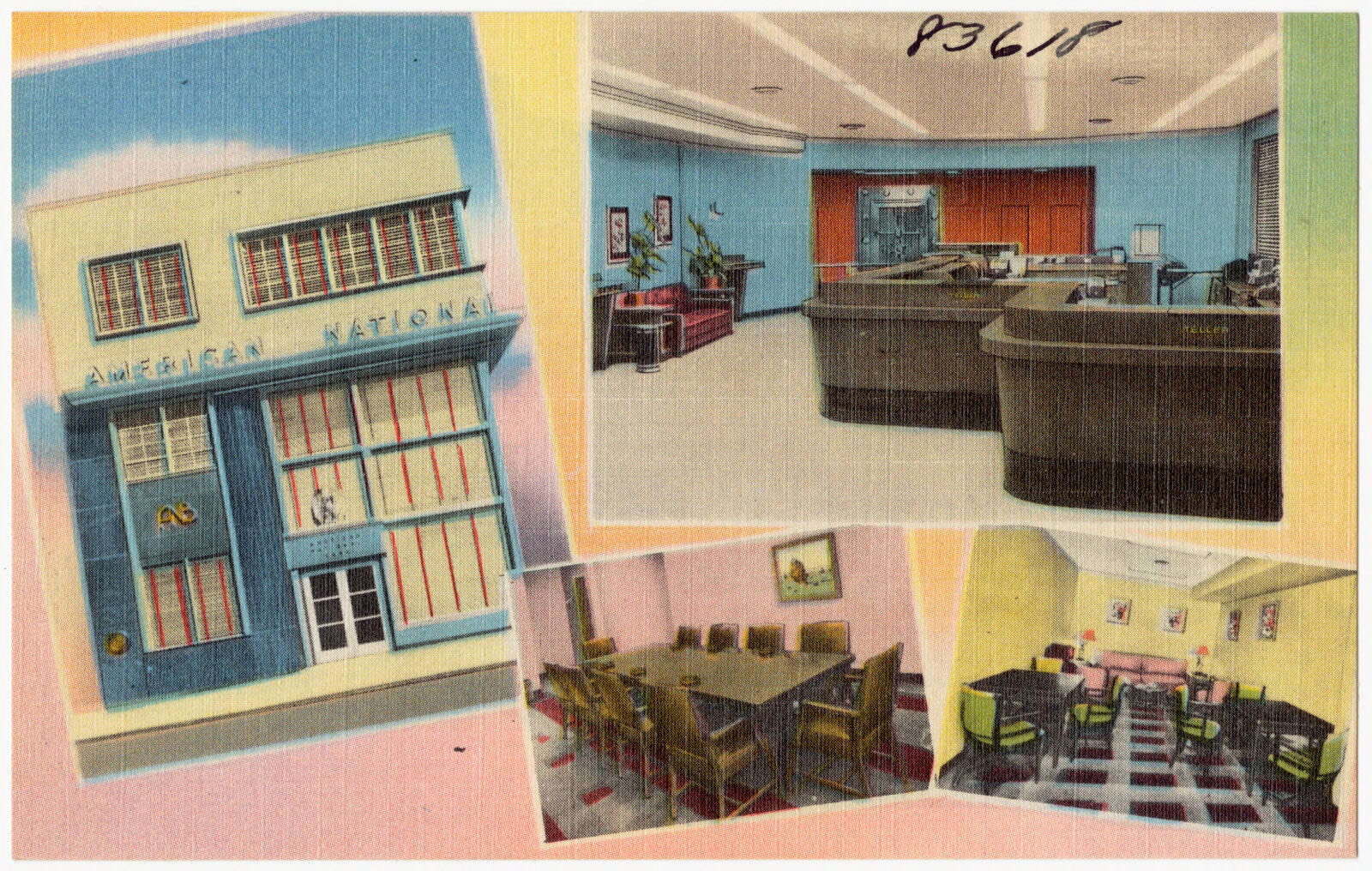
The American National Bank, 7th & Monmouth Sts., Newport, Ky. "Kentucky's Finest Bank", Boston Public Library - undated
The American National Bank, 7th & Monmouth Sts., Newport, Ky. "Kentucky's Finest Bank". Boston Public Library, via the Digital Public Library of America.
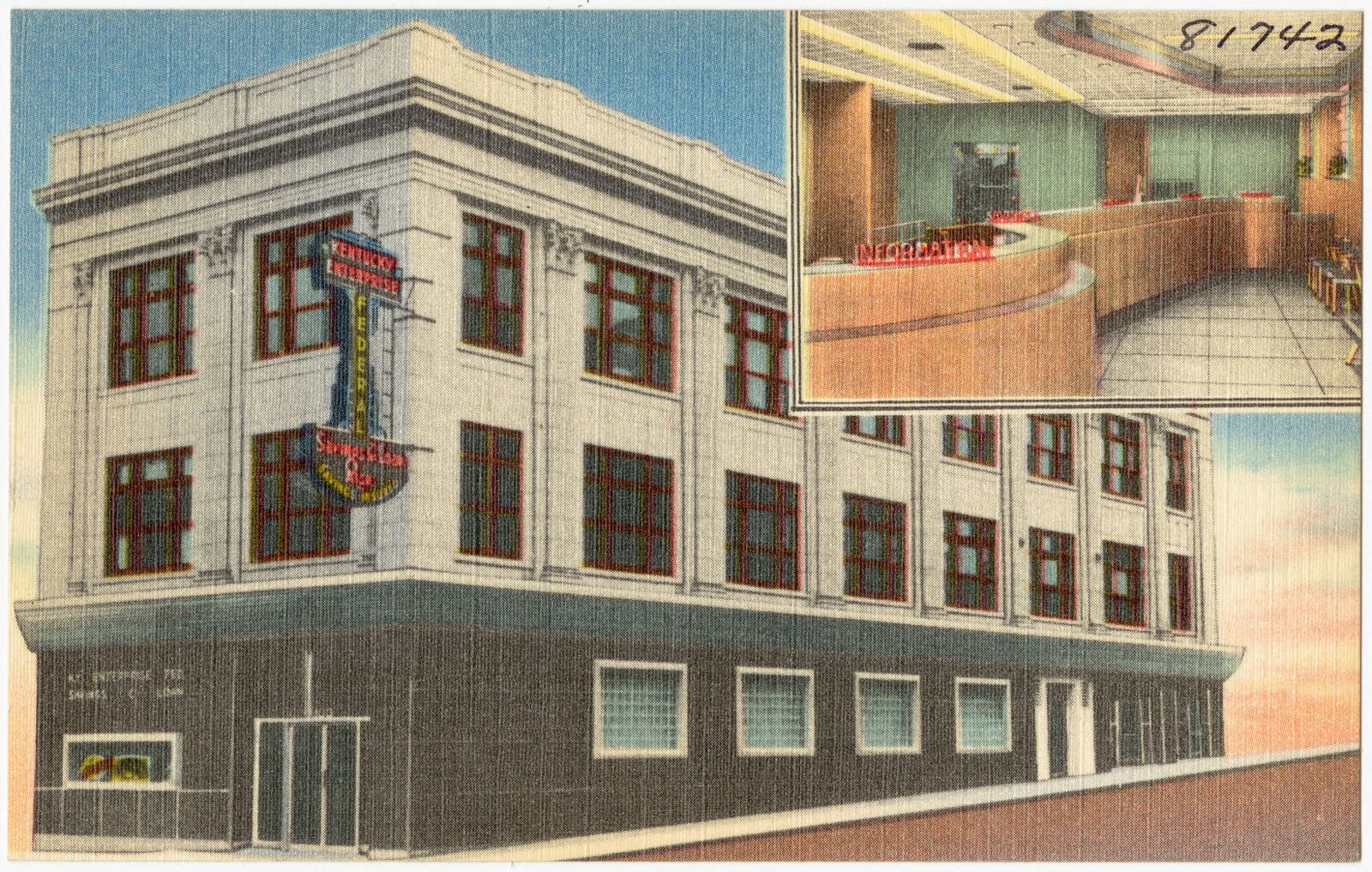
The home of Kentucky Enterprise Federal Savings and Loan Association, 800 Monmouth St., Newport, Ky., Boston Public Library - undated
The home of Kentucky Enterprise Federal Savings and Loan Association, 800 Monmouth St., Newport, Ky.. Boston Public Library, via the Digital Public Library of America.
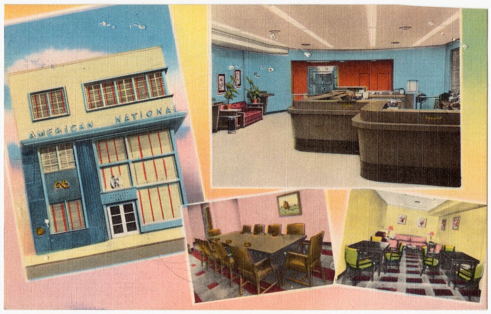
American National Bank, Newport, Kentucky, Boston Public Library - undated
American National Bank, Newport, Kentucky. Boston Public Library, via the Digital Public Library of America.
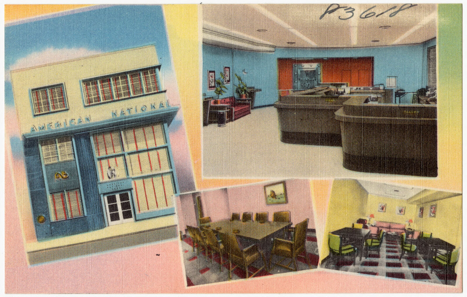
American National Bank, Newport, Kentucky, Boston Public Library - undated
American National Bank, Newport, Kentucky. Boston Public Library, via the Digital Public Library of America.
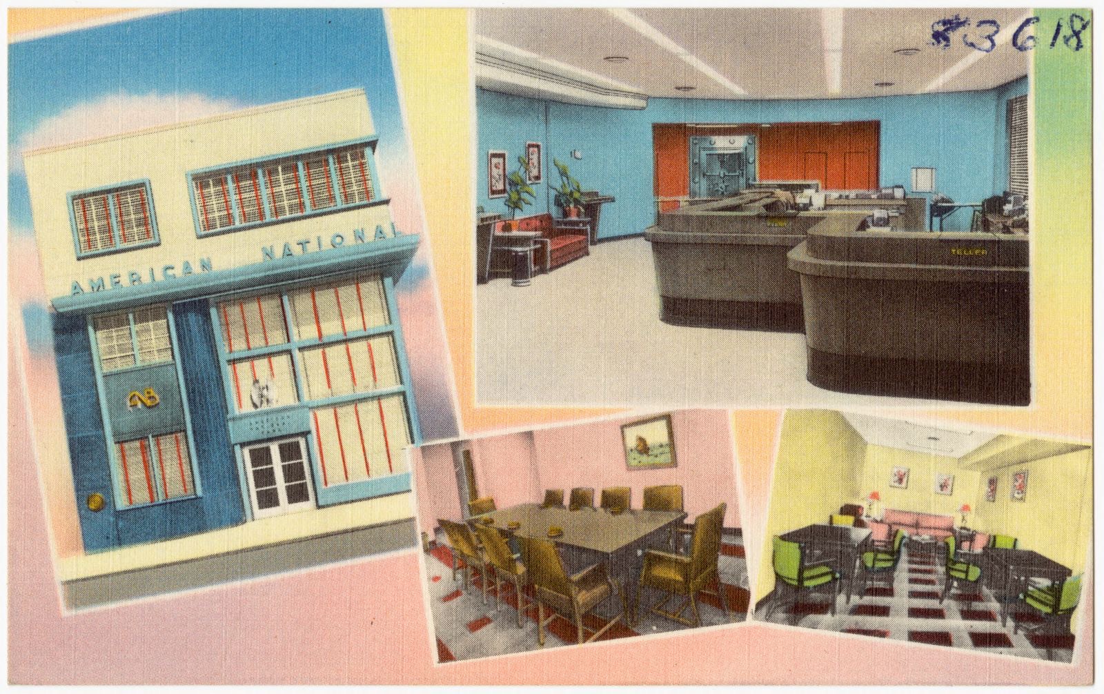
American National Bank, Newport, Kentucky, Boston Public Library - undated
American National Bank, Newport, Kentucky. Boston Public Library, via the Digital Public Library of America.
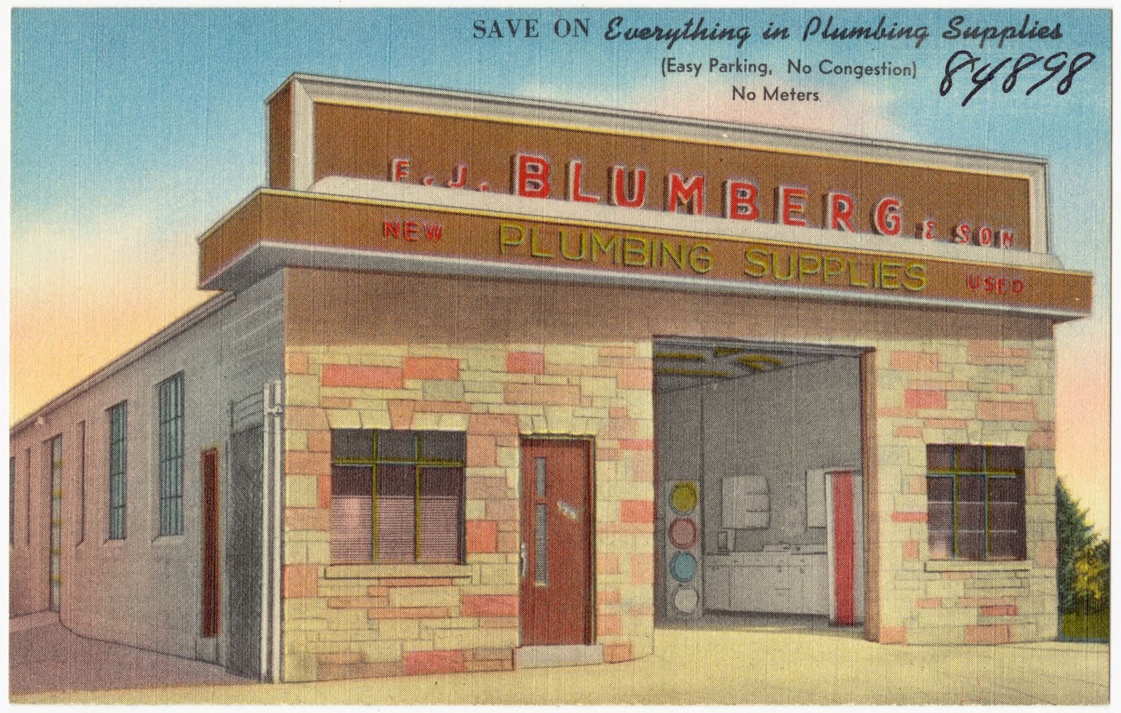
F. J. Blumberg Plumbing Supplies, 12th St. & Licking Pike, Newport, Kentucky, Boston Public Library - undated
F. J. Blumberg Plumbing Supplies, 12th St. & Licking Pike, Newport, Kentucky. Boston Public Library, via the Digital Public Library of America.
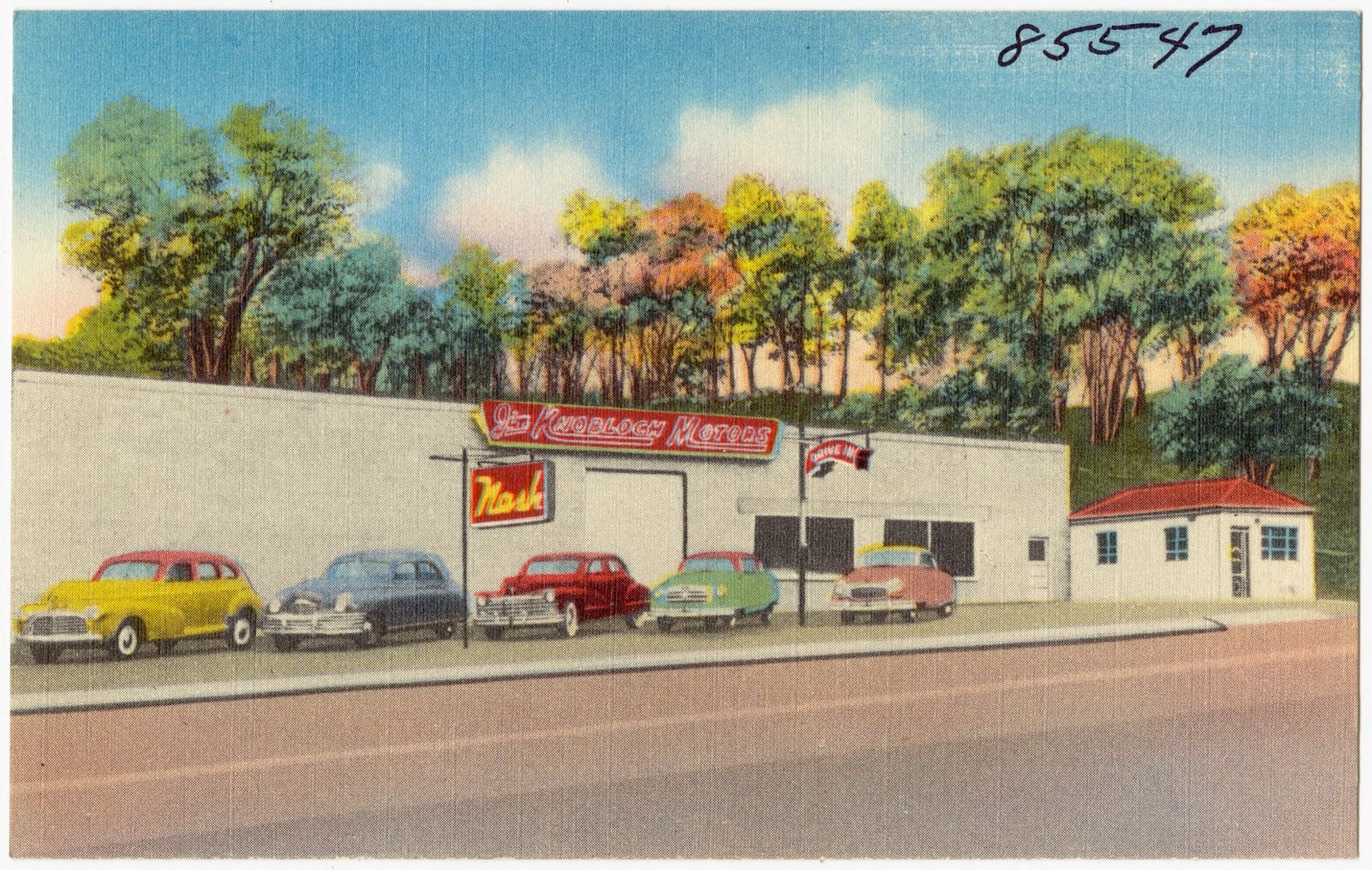
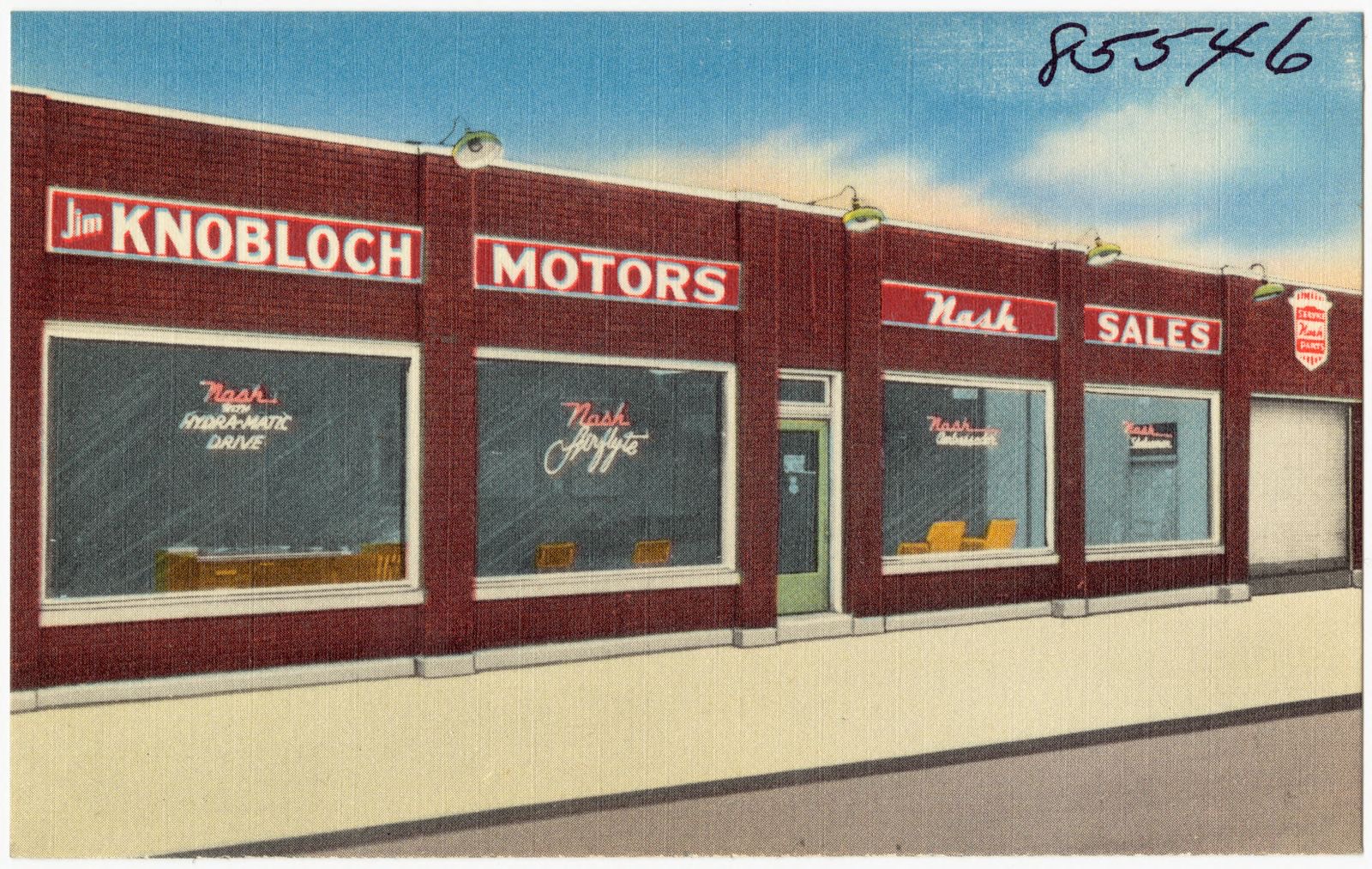
Jim Knobloch Motors, 2301 Alexandria Pike, Newport, Kentucky, Boston Public Library - undated
Jim Knobloch Motors, 2301 Alexandria Pike, Newport, Kentucky. Boston Public Library, via the Digital Public Library of America.
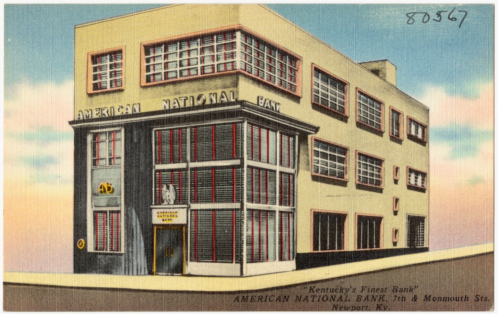
American National Bank, 7th & Monmouth Sts., Newport, Ky. "Kentucky's Finest Bank", Boston Public Library - undated
American National Bank, 7th & Monmouth Sts., Newport, Ky. "Kentucky's Finest Bank". Boston Public Library, via the Digital Public Library of America.
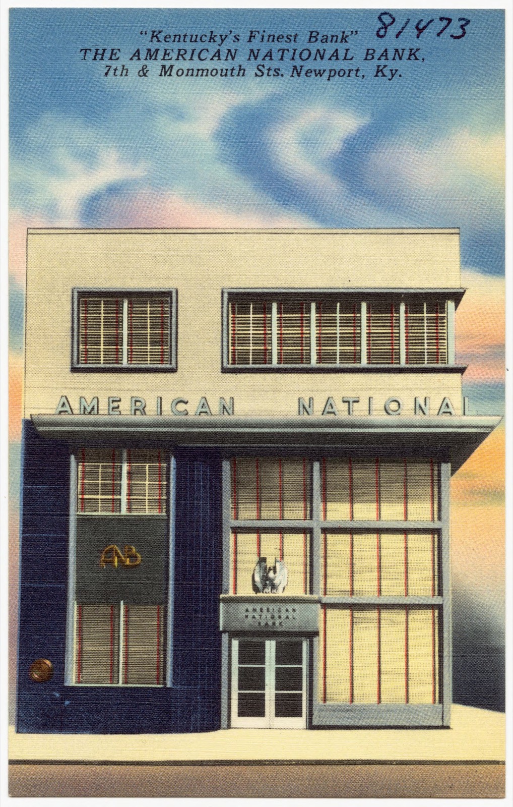
The American National Bank, 7th & Monmouth Sts., Newport, Ky. "Kentucky's Finest Bank", Boston Public Library - undated
The American National Bank, 7th & Monmouth Sts., Newport, Ky. "Kentucky's Finest Bank". Boston Public Library, via the Digital Public Library of America.
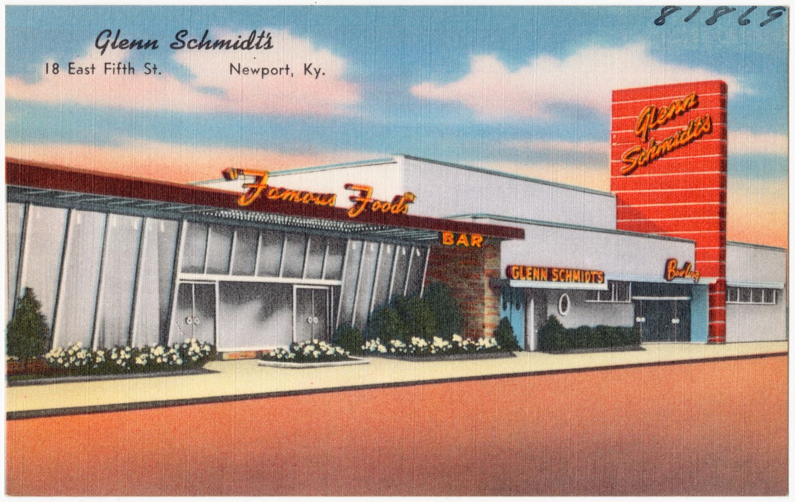
Glenn Schmidt's, 18 East Fifth St., Newport, Ky., Boston Public Library - undated
Glenn Schmidt's, 18 East Fifth St., Newport, Ky.. Boston Public Library, via the Digital Public Library of America.
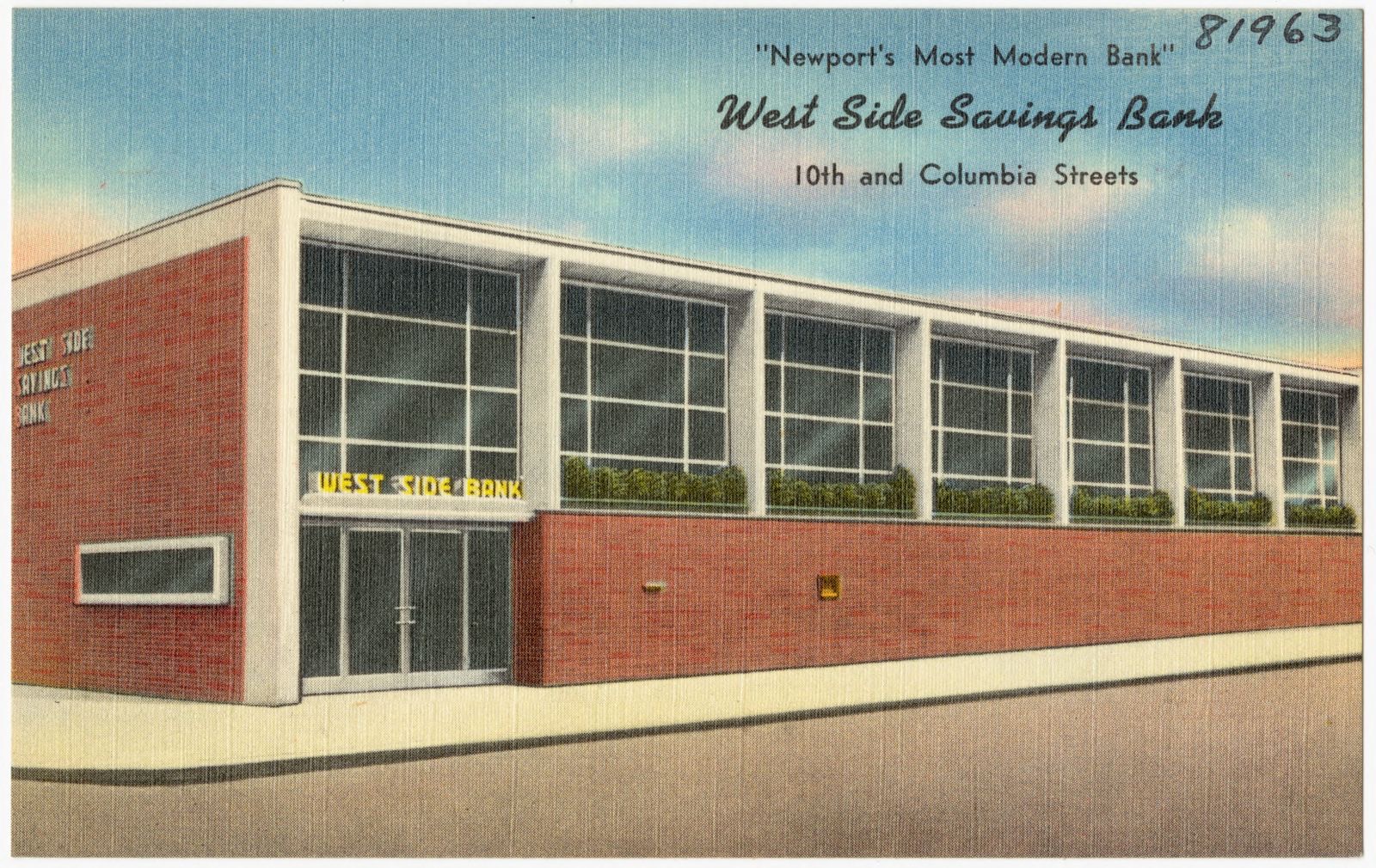
West Side Savings Bank, 10th and Columbia Streets, "Newport's Most Modern Bank", Boston Public Library - undated
West Side Savings Bank, 10th and Columbia Streets, "Newport's Most Modern Bank". Boston Public Library, via the Digital Public Library of America.
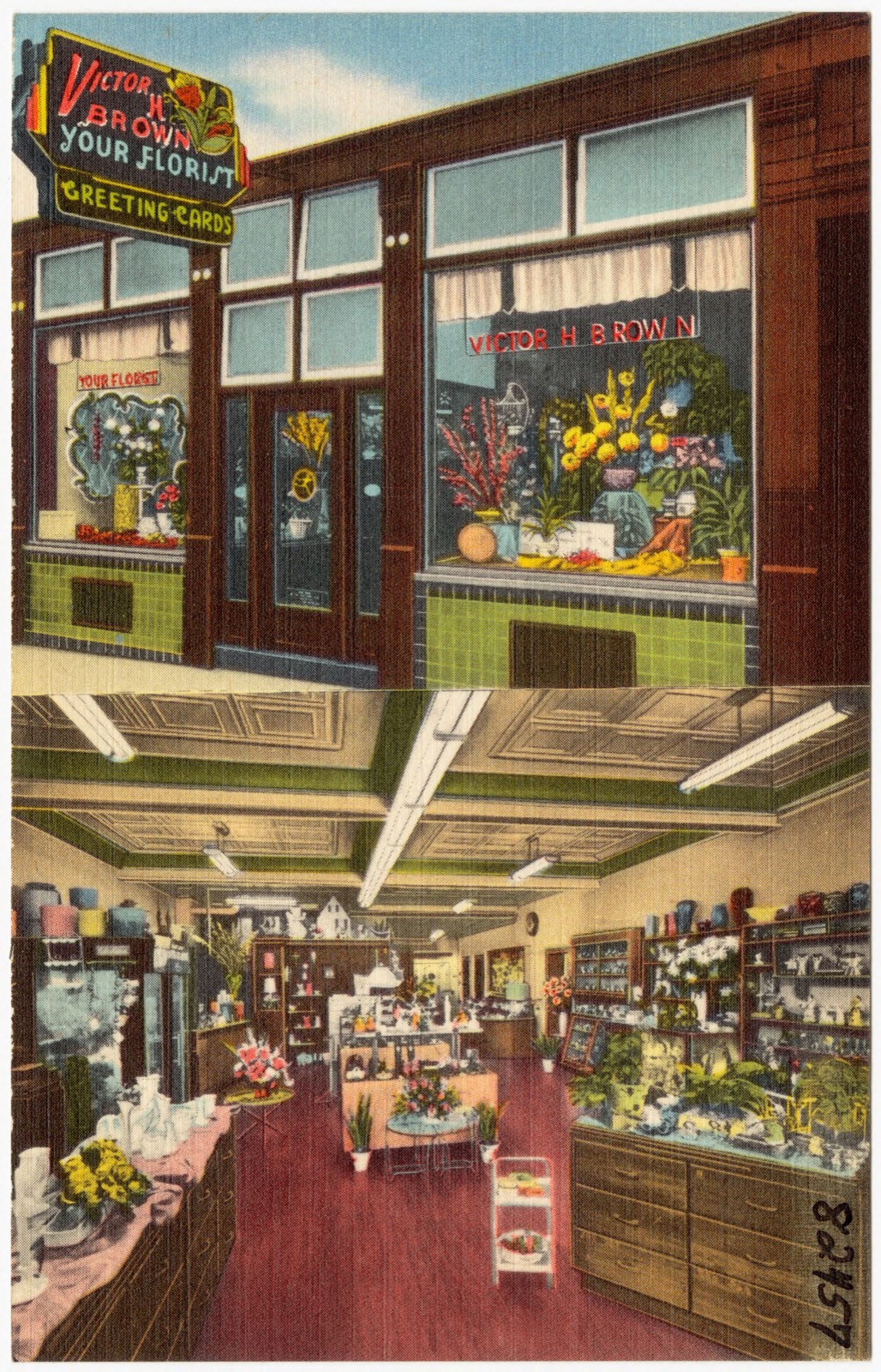
Your Florist - Victor H. Brown, Northern Kentucky's Largest Florist, Boston Public Library - undated
Your Florist - Victor H. Brown, Northern Kentucky's Largest Florist. Boston Public Library, via the Digital Public Library of America.
American National Bank, Newport, Kentucky, Boston Public Library - undated
American National Bank, Newport, Kentucky. Boston Public Library, via the Digital Public Library of America.
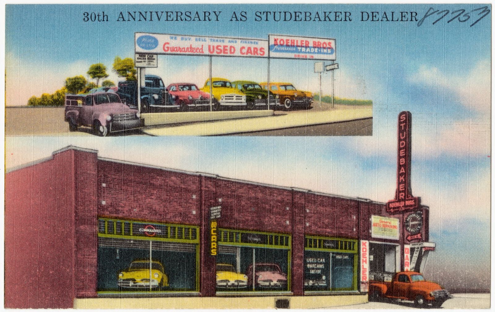
Koehler Brothers Auto Sales and Service Co., 3 minutes from Fountain Square, 1 block from end of Free Bridge, 231 Monmouth St. -- Newport, Ky., Boston Public Library - undated
Koehler Brothers Auto Sales and Service Co., 3 minutes from Fountain Square, 1 block from end of Free Bridge, 231 Monmouth St. -- Newport, Ky.. Boston Public Library, via the Digital Public Library of America.
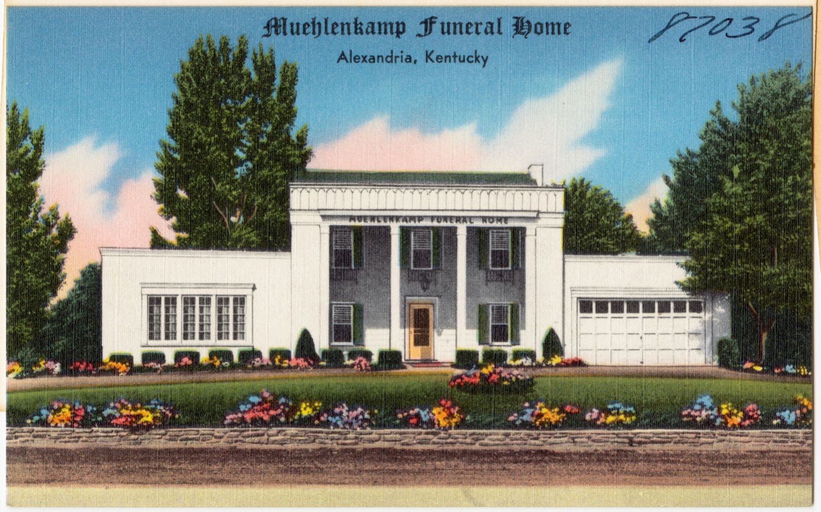
Muehlenkamp Funeral Home, Alexandria, Kentucky, Boston Public Library - undated
Muehlenkamp Funeral Home, Alexandria, Kentucky. Boston Public Library, via the Digital Public Library of America.
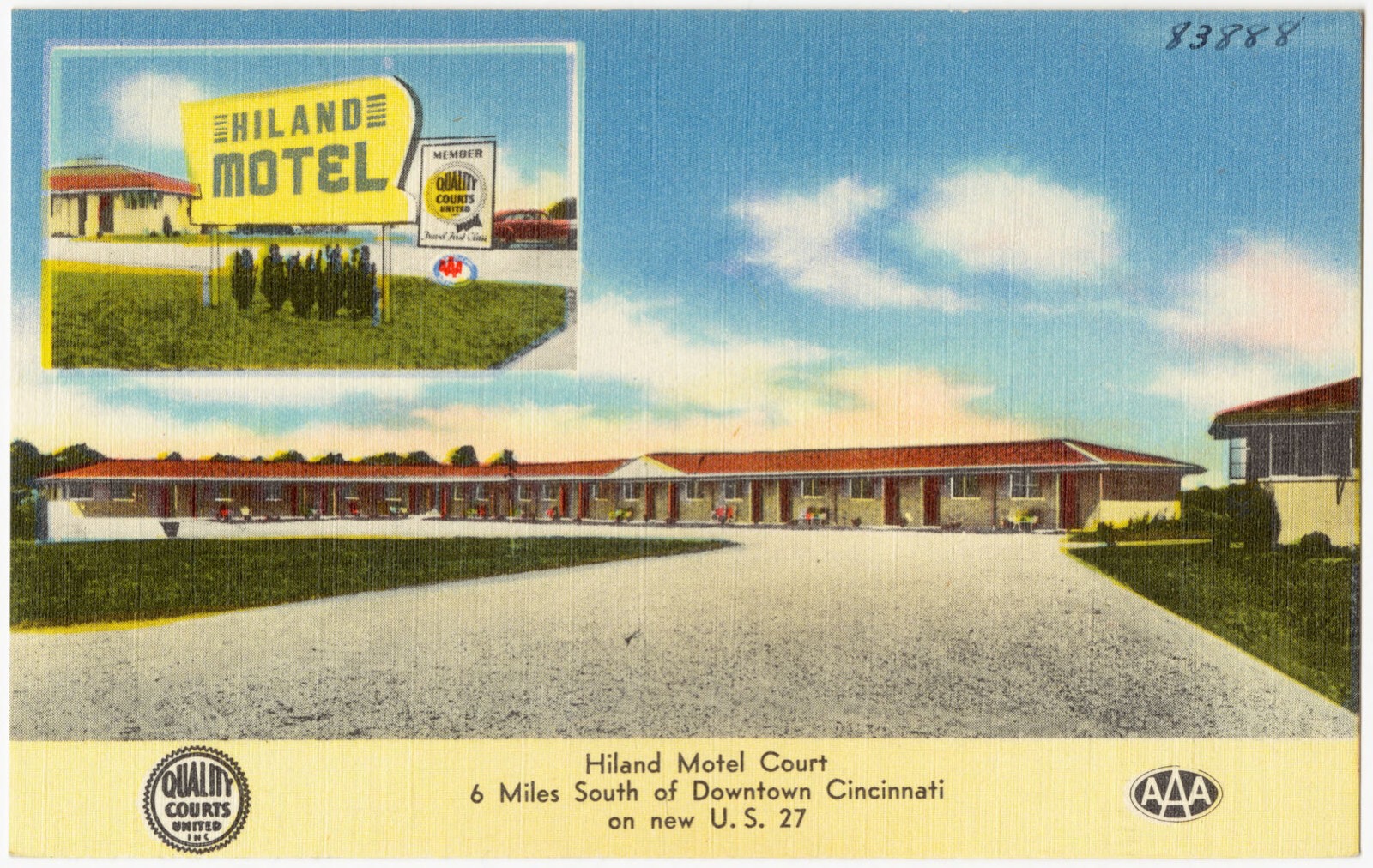
Hiland Motel Court, 6 miles south of downtown Cincinnati on new U. S. 27, Boston Public Library - undated
Hiland Motel Court, 6 miles south of downtown Cincinnati on new U. S. 27. Boston Public Library, via the Digital Public Library of America.
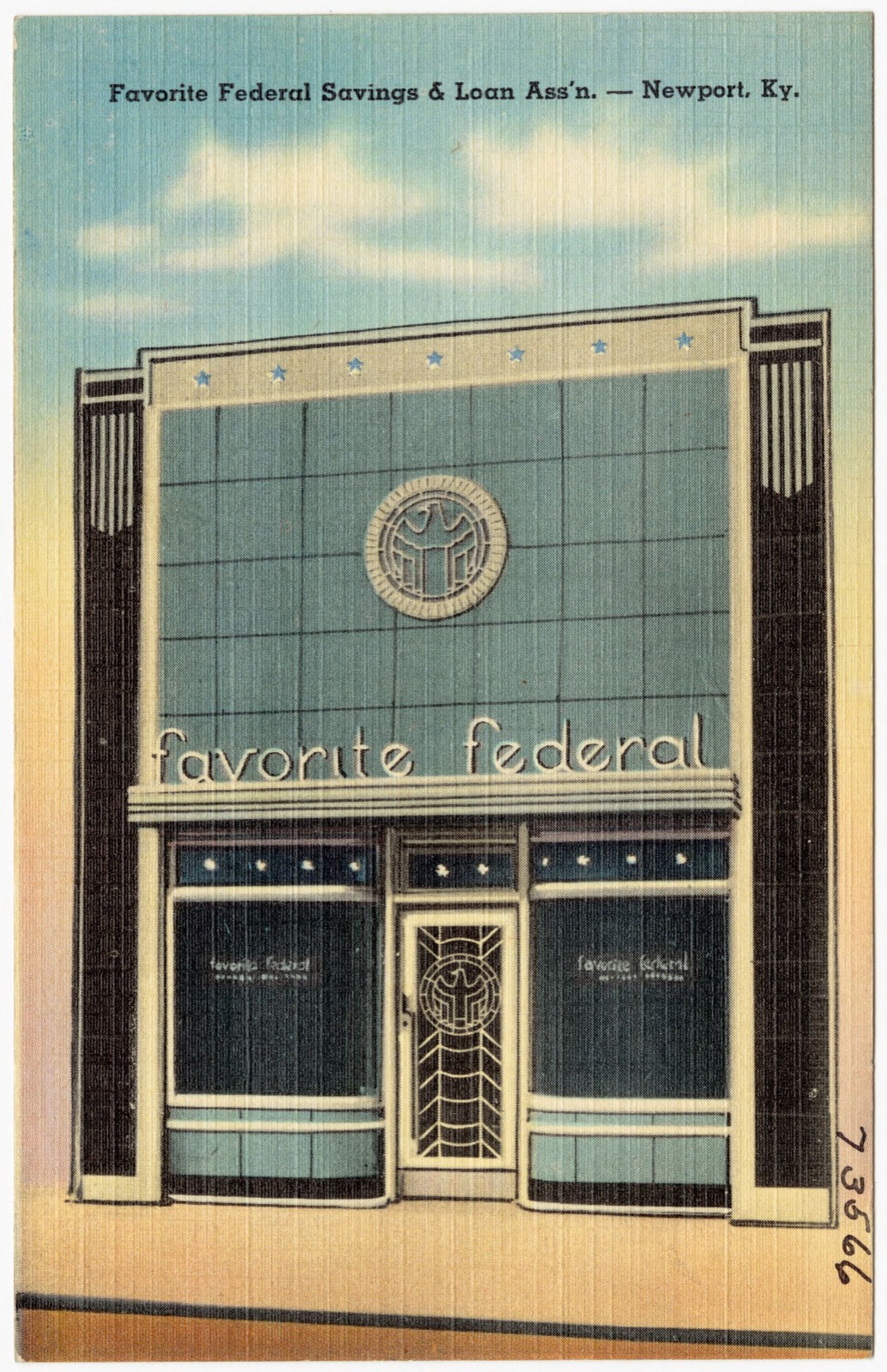
Favorite Federal Savings & Loan Ass'n -- Newport, Ky., Boston Public Library - undated
Favorite Federal Savings & Loan Ass'n -- Newport, Ky.. Boston Public Library, via the Digital Public Library of America.
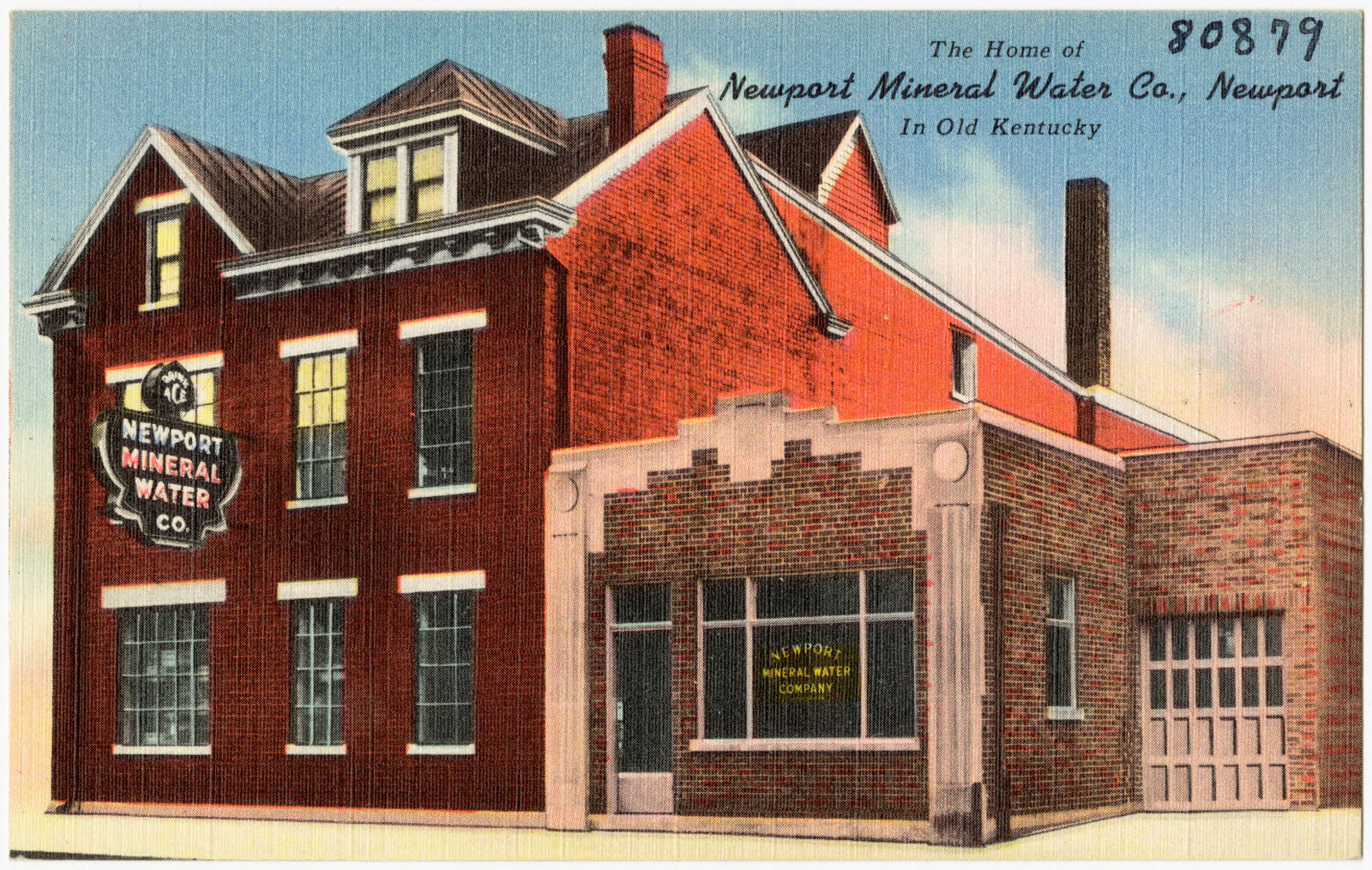
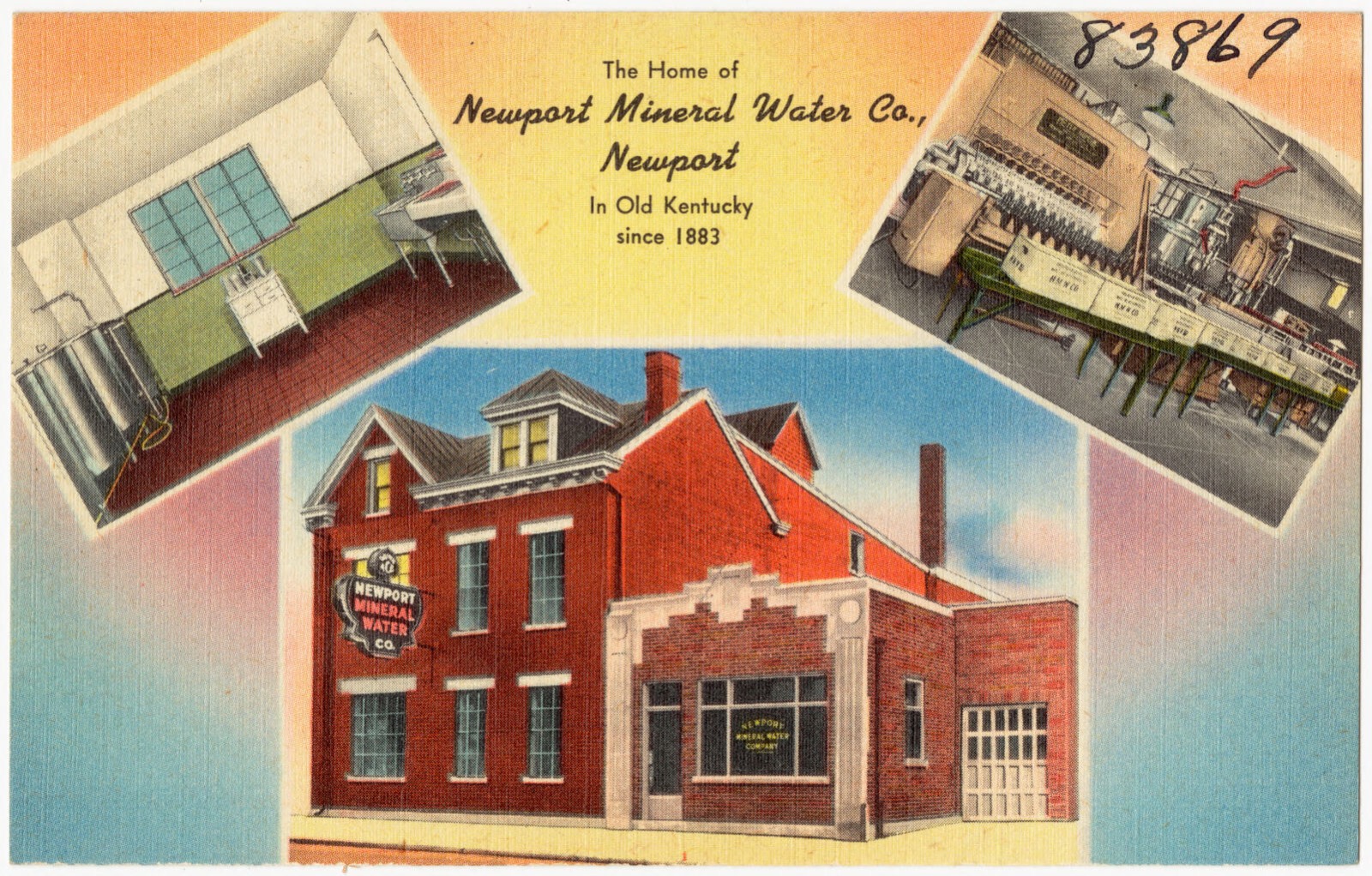
The home of Newport Mineral Water Co., Newport in Old Kentucky, Boston Public Library - undated
The home of Newport Mineral Water Co., Newport in Old Kentucky. Boston Public Library, via the Digital Public Library of America.
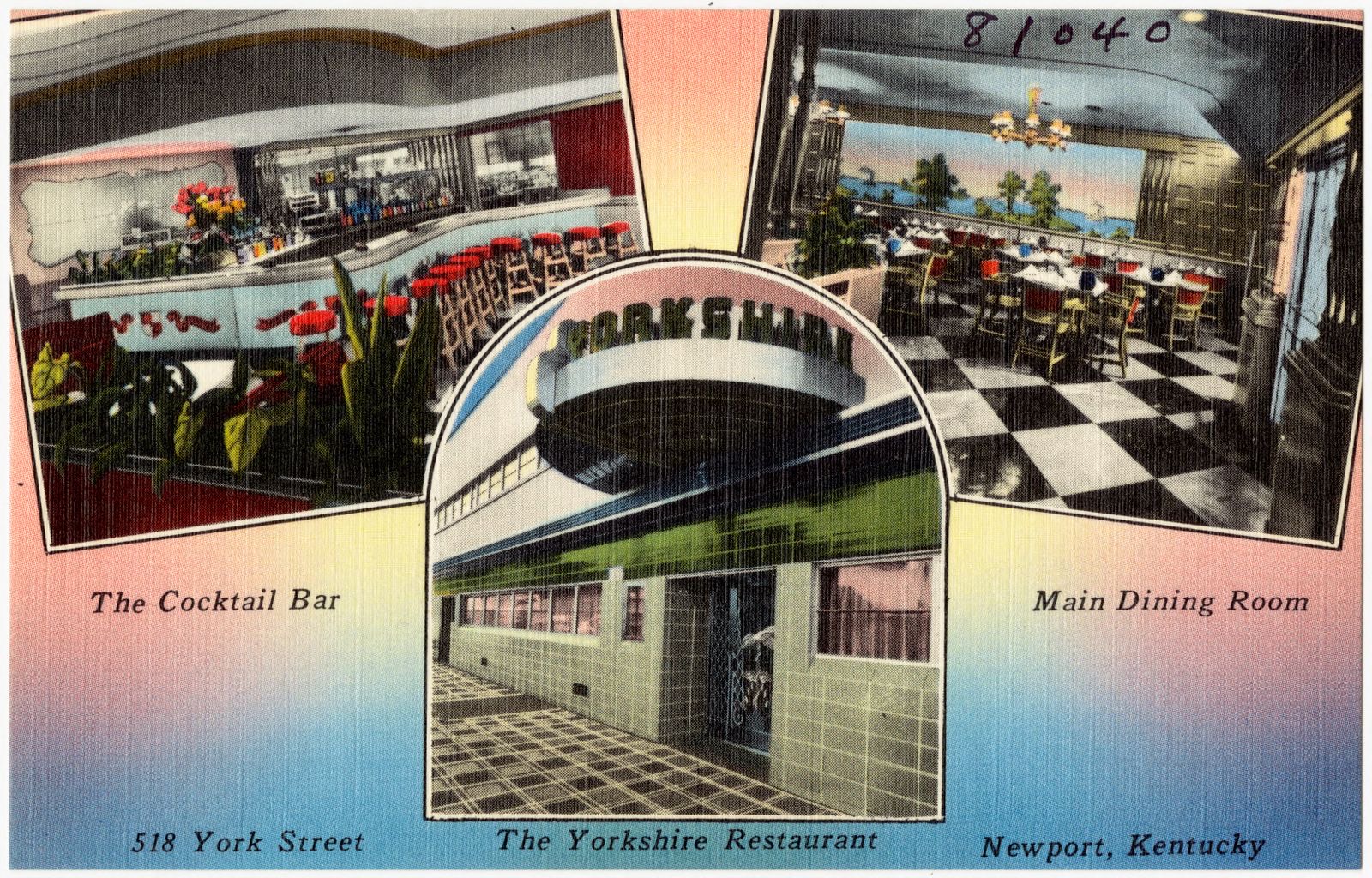
The Yorkshire Restaurant, 518 York Street, Newport, Kentucky, Boston Public Library - undated
The Yorkshire Restaurant, 518 York Street, Newport, Kentucky. Boston Public Library, via the Digital Public Library of America.
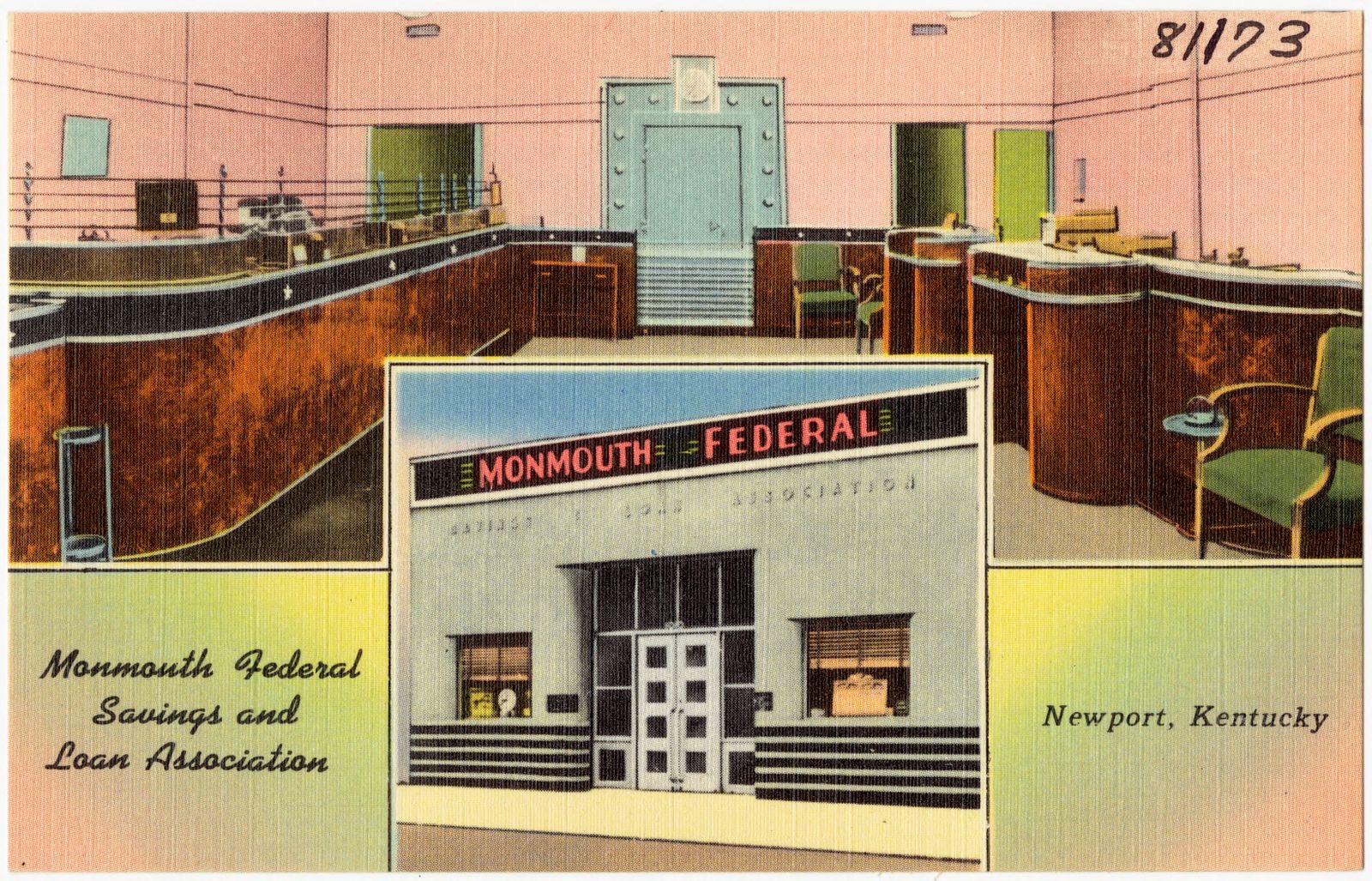
Monmouth Federal Savings and Loan Association, Newport, Kentucky, Boston Public Library - undated
Monmouth Federal Savings and Loan Association, Newport, Kentucky. Boston Public Library, via the Digital Public Library of America.
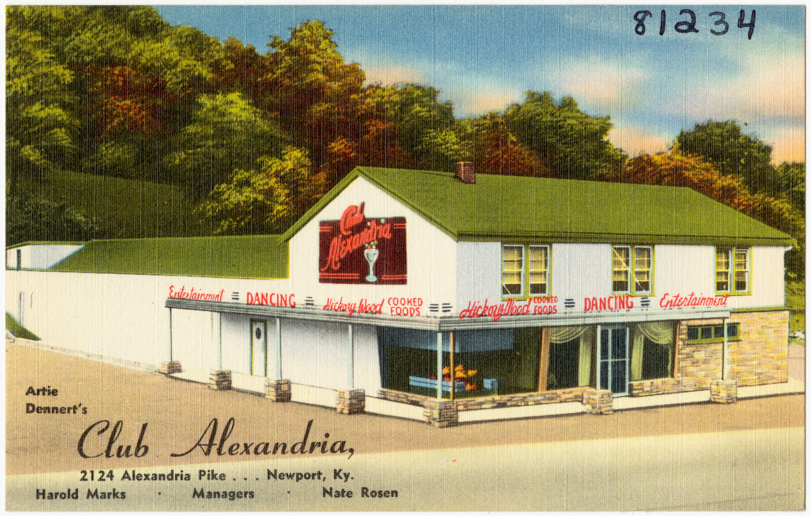
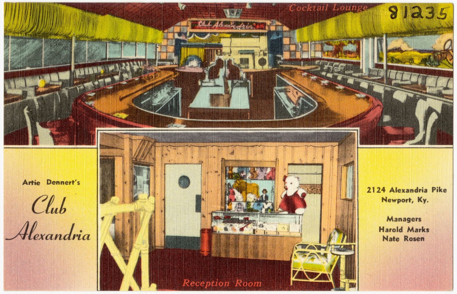
Artie Dennert's Club Alexandria, 2124 Alexandria Pike... Newport, Ky., Boston Public Library - undated
Artie Dennert's Club Alexandria, 2124 Alexandria Pike... Newport, Ky.. Boston Public Library, via the Digital Public Library of America.
Artie Dennert's Club Alexandria, 2124 Alexandria Pike... Newport, Ky., Boston Public Library - undated
Artie Dennert's Club Alexandria, 2124 Alexandria Pike... Newport, Ky.. Boston Public Library, via the Digital Public Library of America.
The home of Newport Mineral Water Co., Newport in Old Kentucky since 1883, Boston Public Library - undated
The home of Newport Mineral Water Co., Newport in Old Kentucky since 1883. Boston Public Library, via the Digital Public Library of America.
Jim Knobloch Motors, 114 Ea. Sixth Street, Newport, Kentucky, Boston Public Library - undated
Jim Knobloch Motors, 114 Ea. Sixth Street, Newport, Kentucky. Boston Public Library, via the Digital Public Library of America.
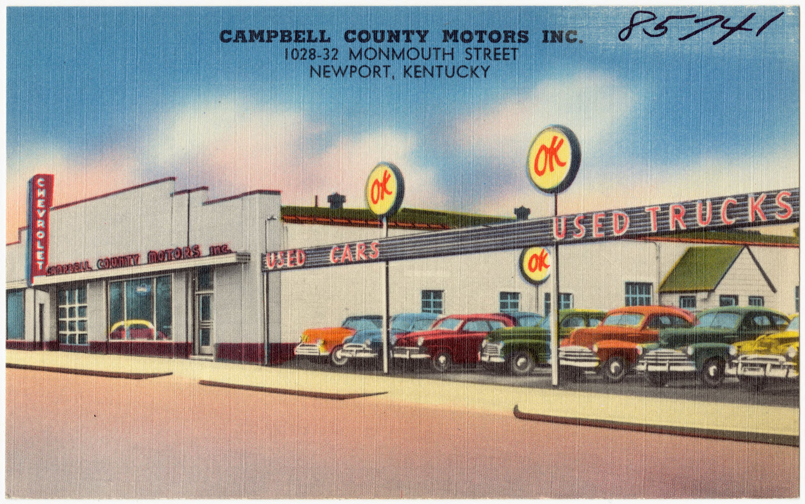
Campbell County Motors Inc., 1028-32 Monmouth Street, Newport, Kentucky, Boston Public Library - undated
Campbell County Motors Inc., 1028-32 Monmouth Street, Newport, Kentucky. Boston Public Library, via the Digital Public Library of America.
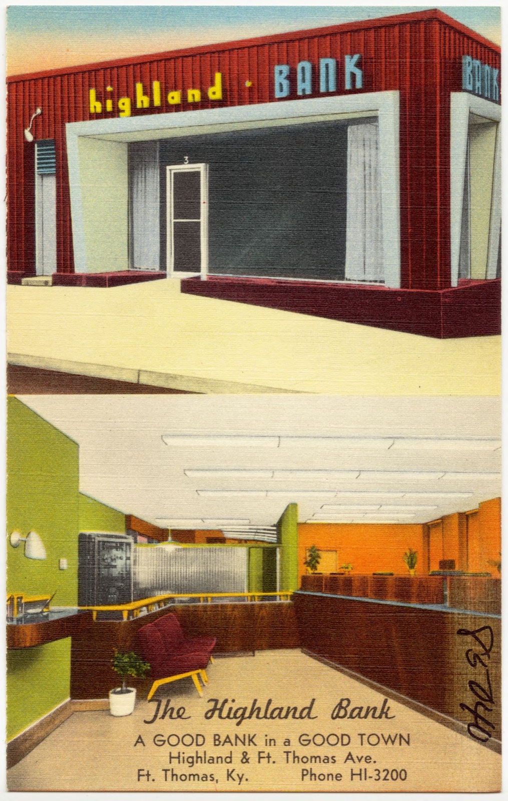
The Highland Bank, a good bank in a good town, Highland & Ft. Thomas Ave., Ft. Thomas, Ky., Boston Public Library - undated
The Highland Bank, a good bank in a good town, Highland & Ft. Thomas Ave., Ft. Thomas, Ky.. Boston Public Library, via the Digital Public Library of America.
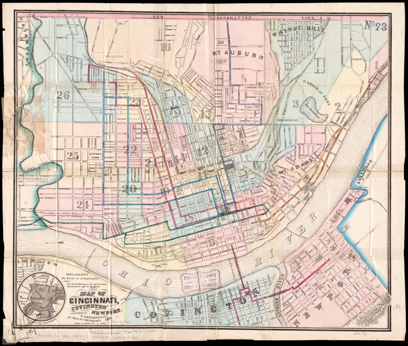
Map of Cincinnati, Covington and Newport, Boston Public Library - undated
Map of Cincinnati, Covington and Newport. Boston Public Library, via the Digital Public Library of America.
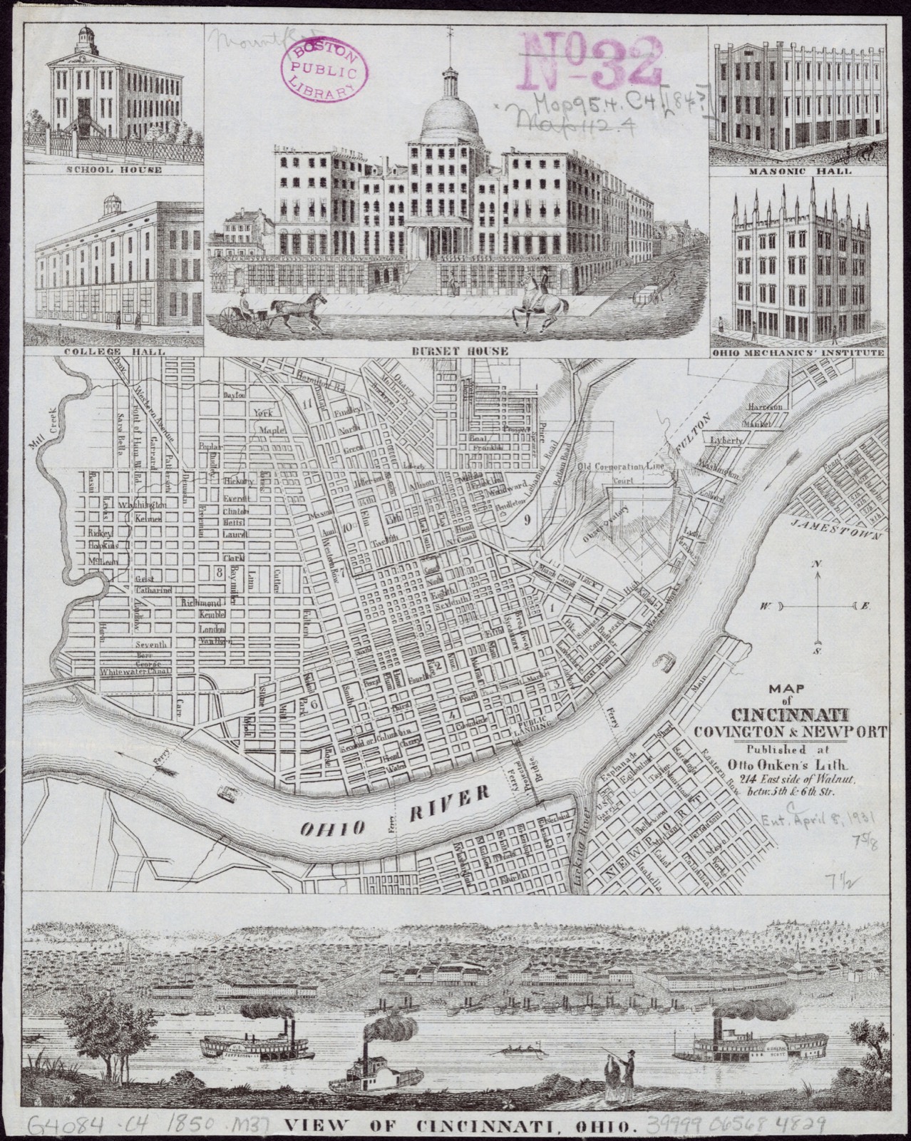
Map of Cincinnati, Covington & Newport, Boston Public Library - undated
Map of Cincinnati, Covington & Newport. Onken, Otto, 1814 or 1815-1897, Boston Public Library, via the Digital Public Library of America.

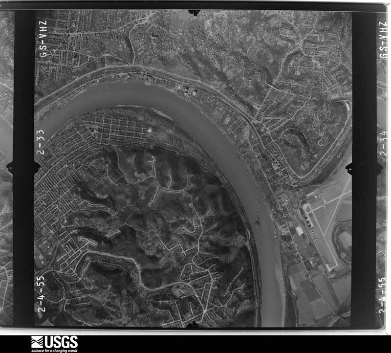
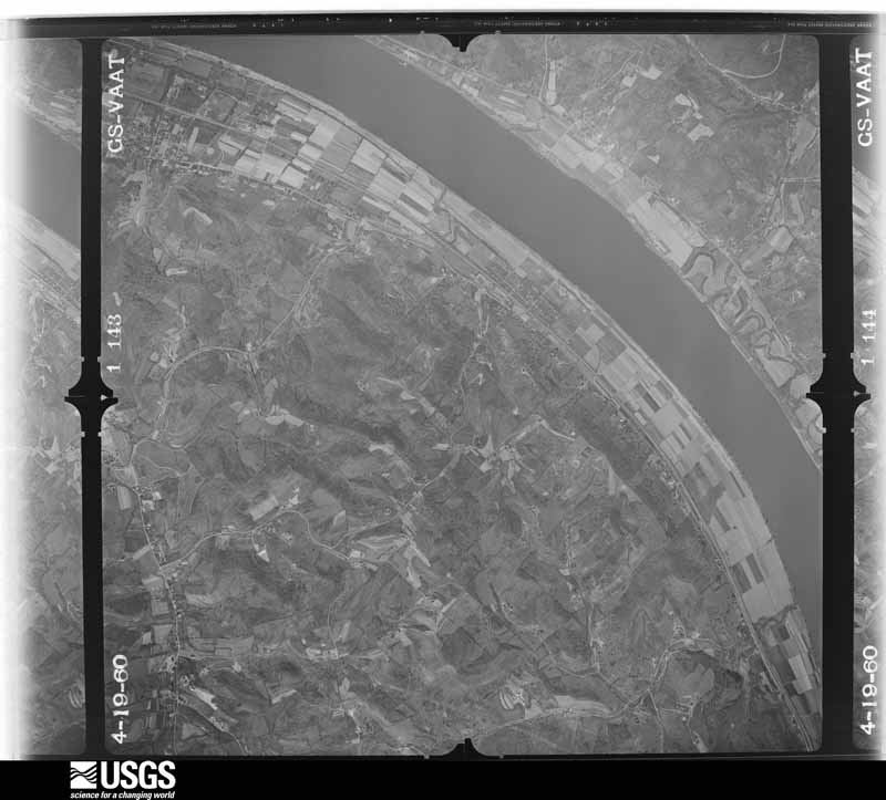
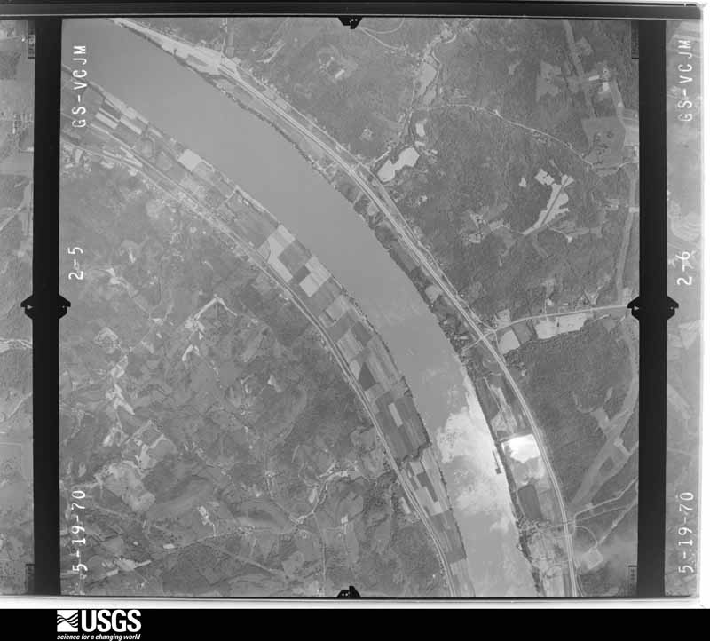
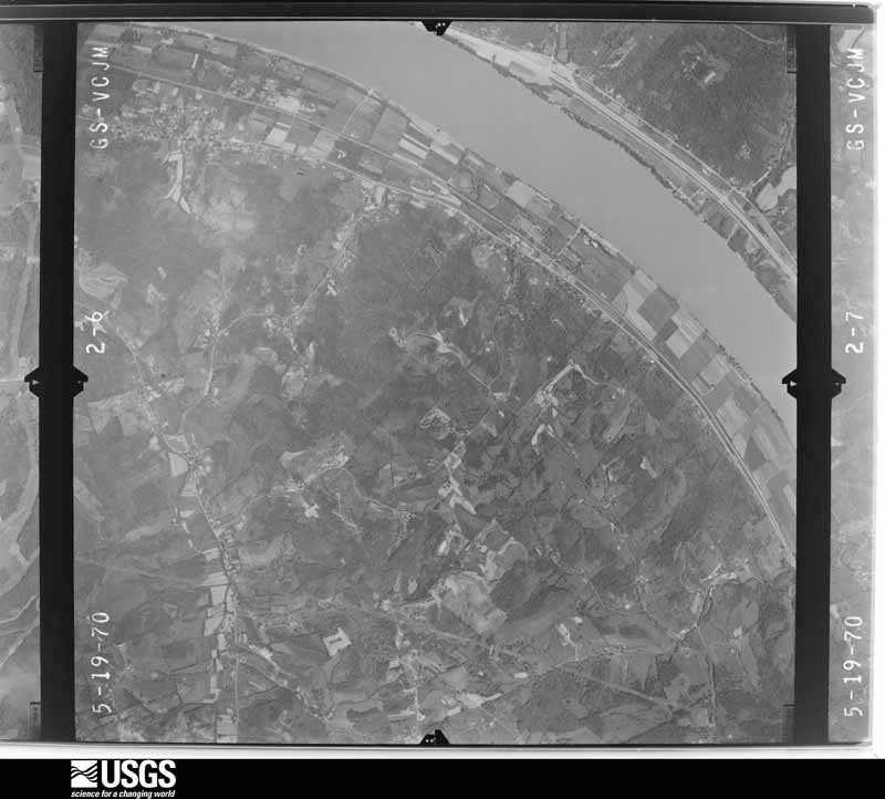
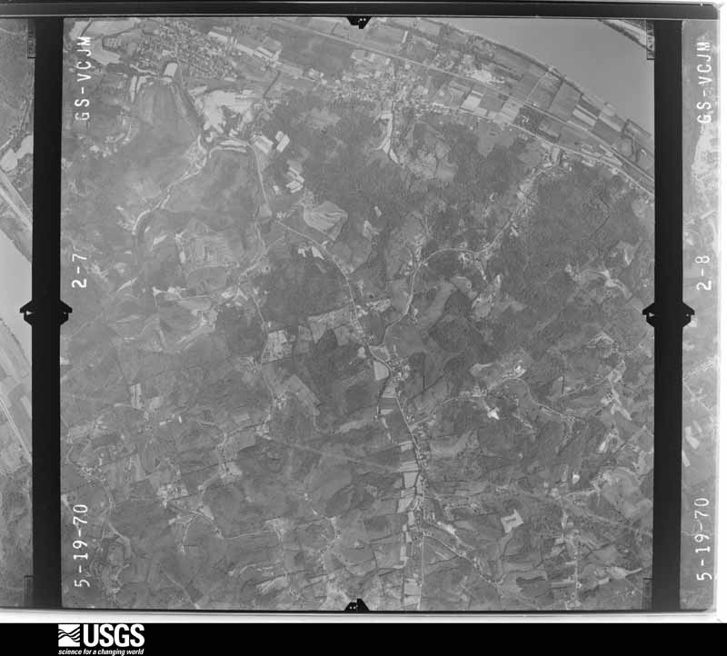
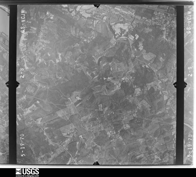
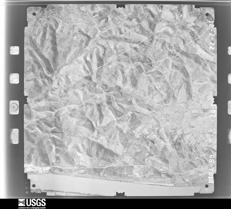
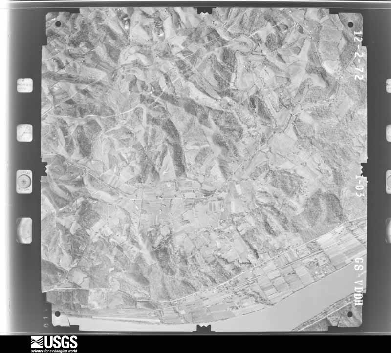
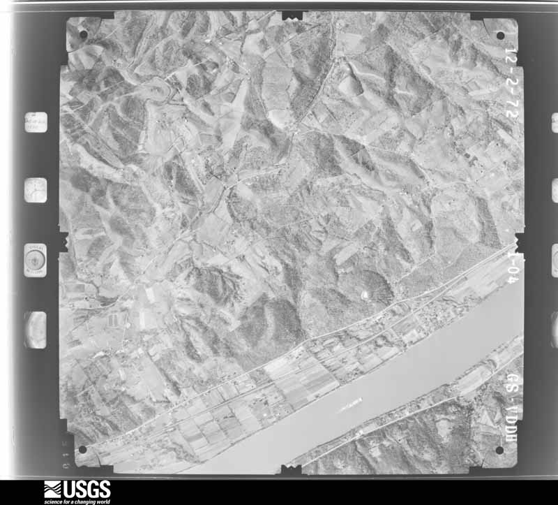
The county from the air

34 shown

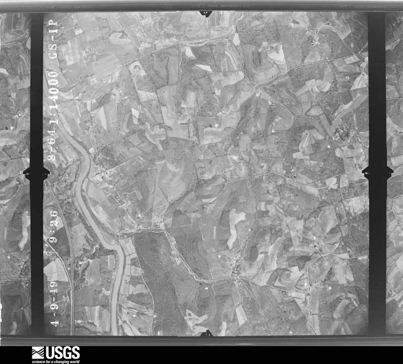
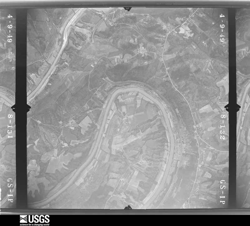
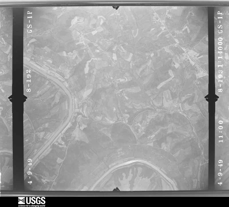
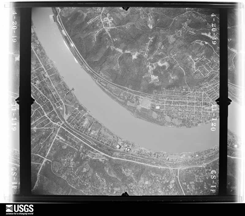
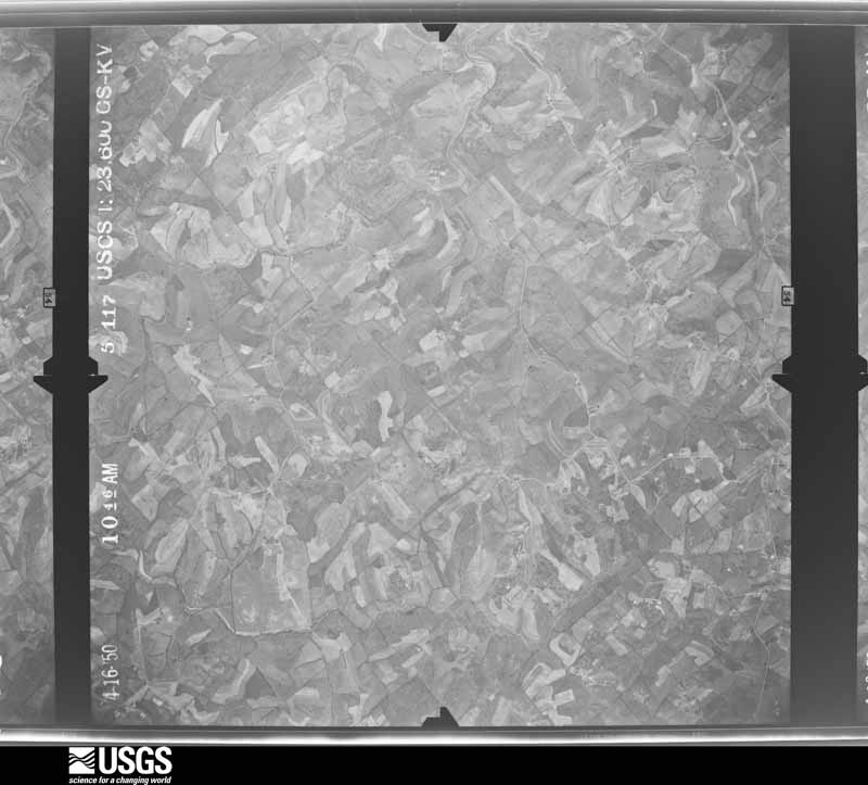
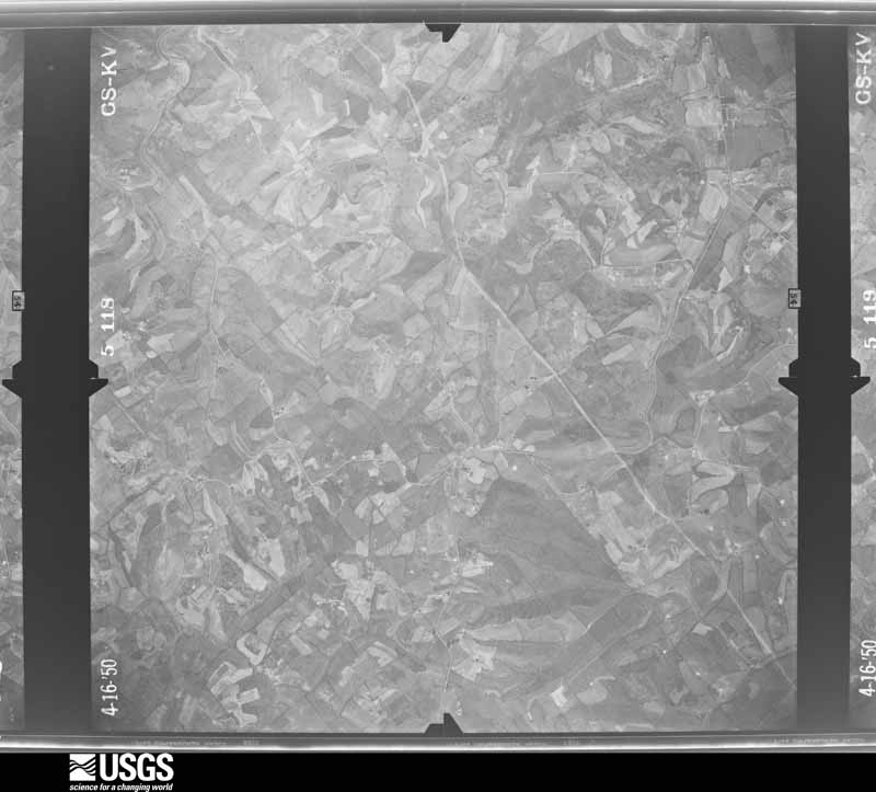
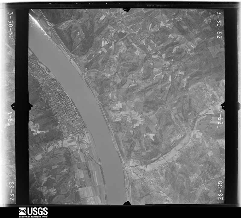
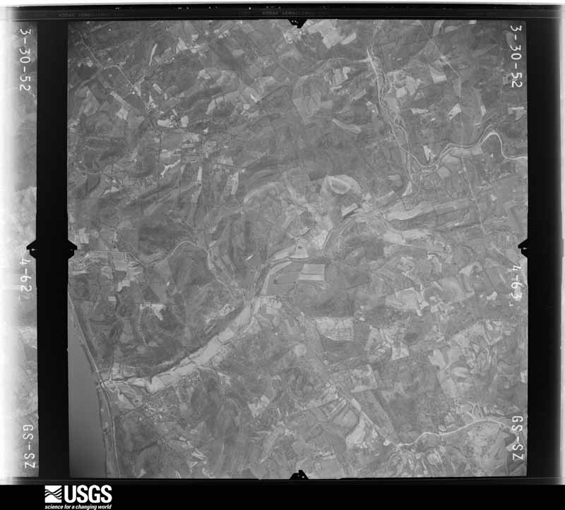
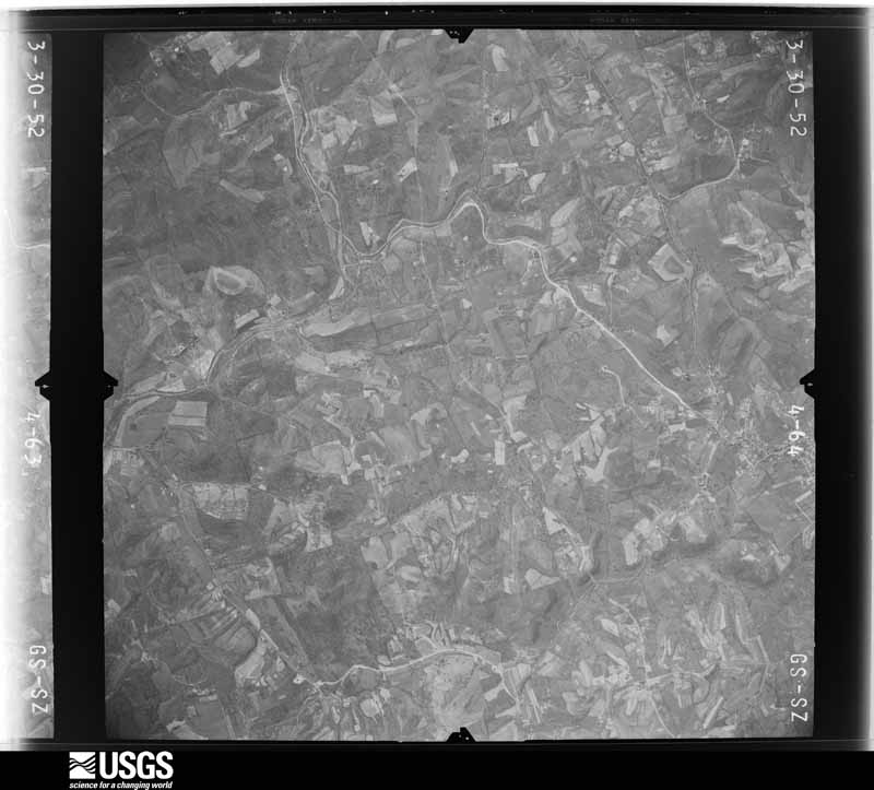
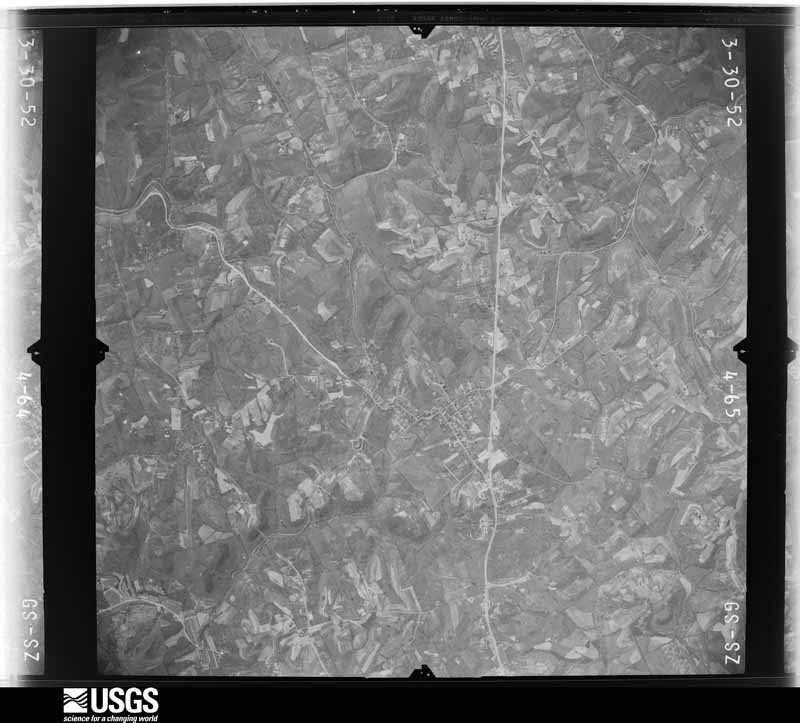
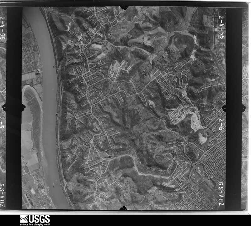
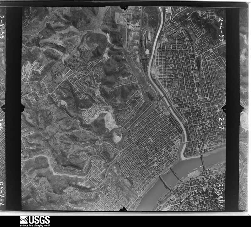
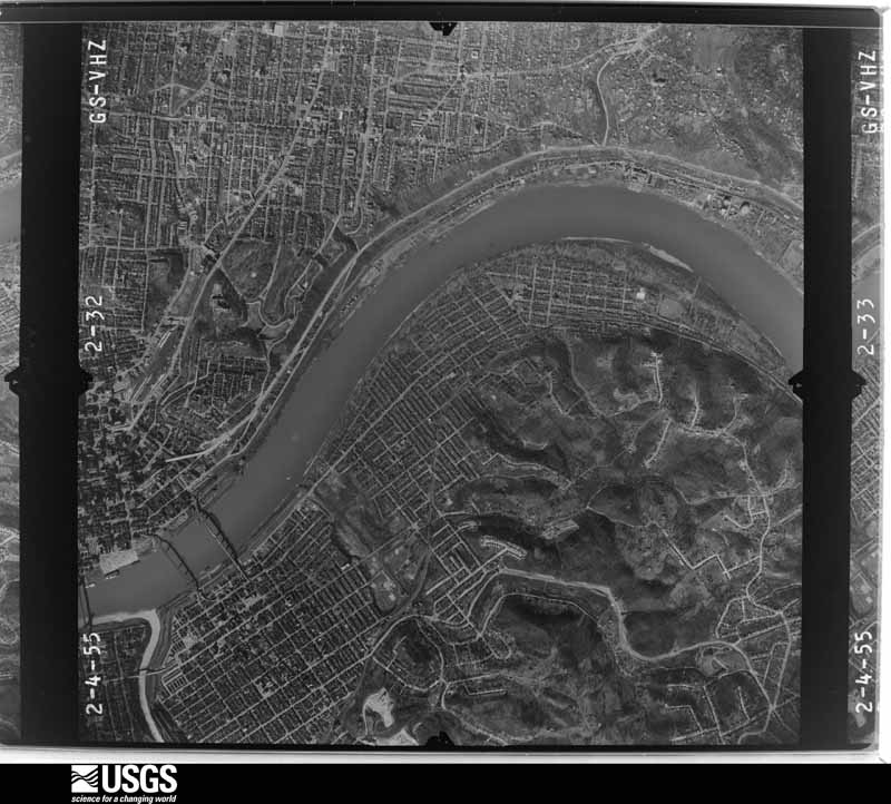
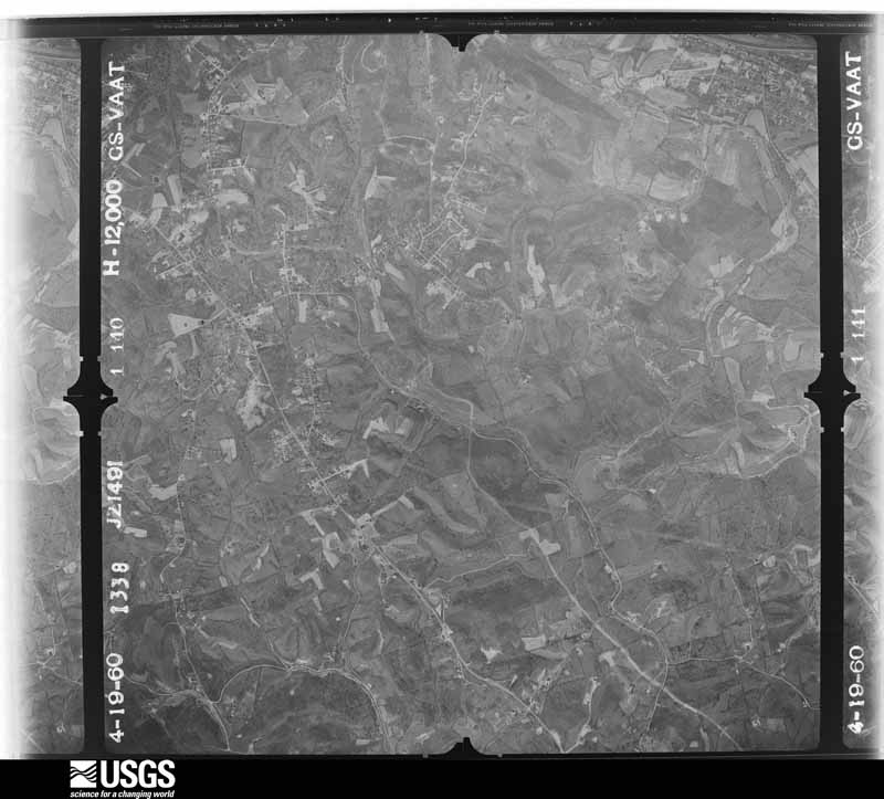
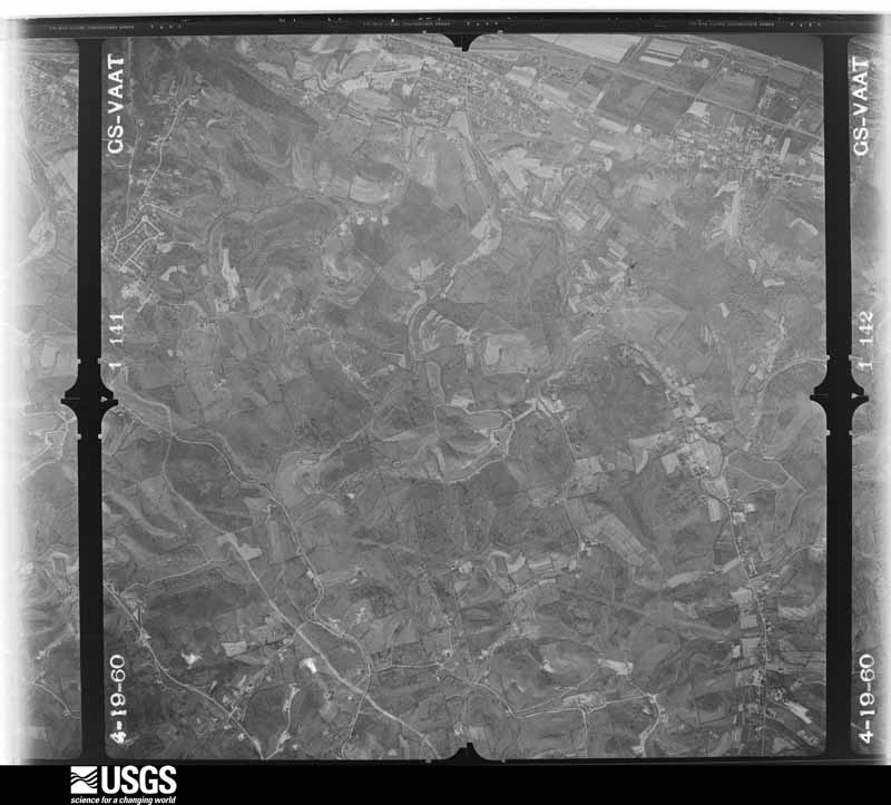
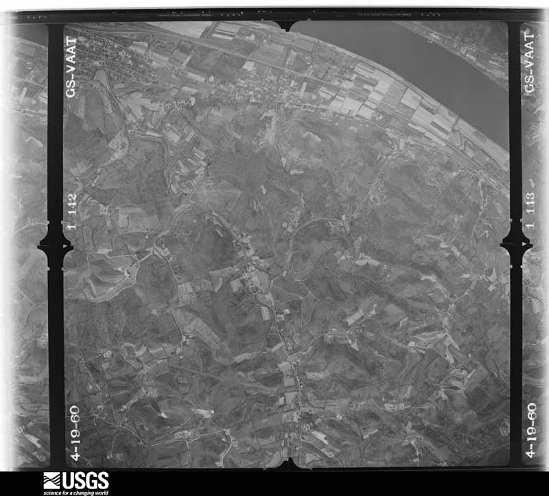
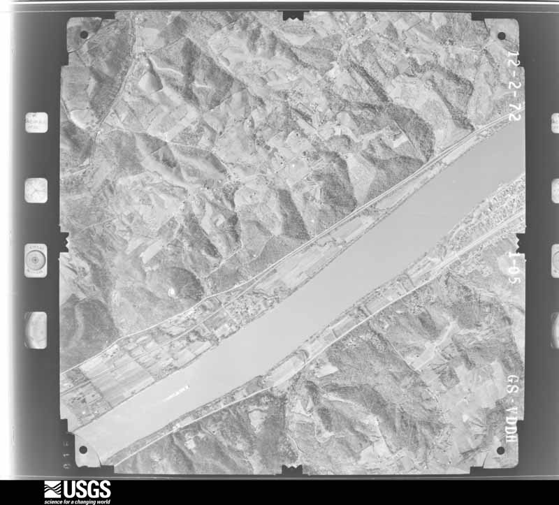
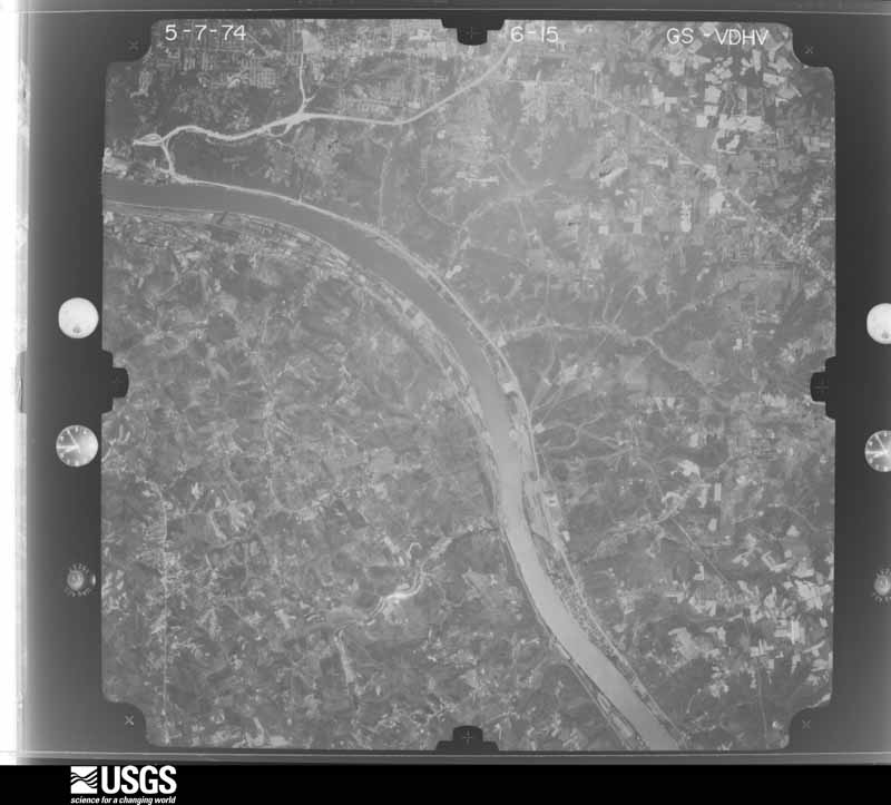
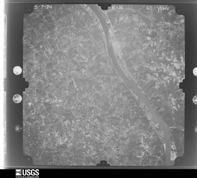
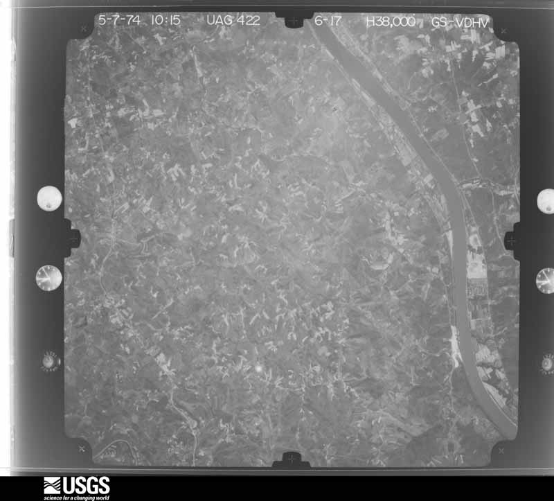
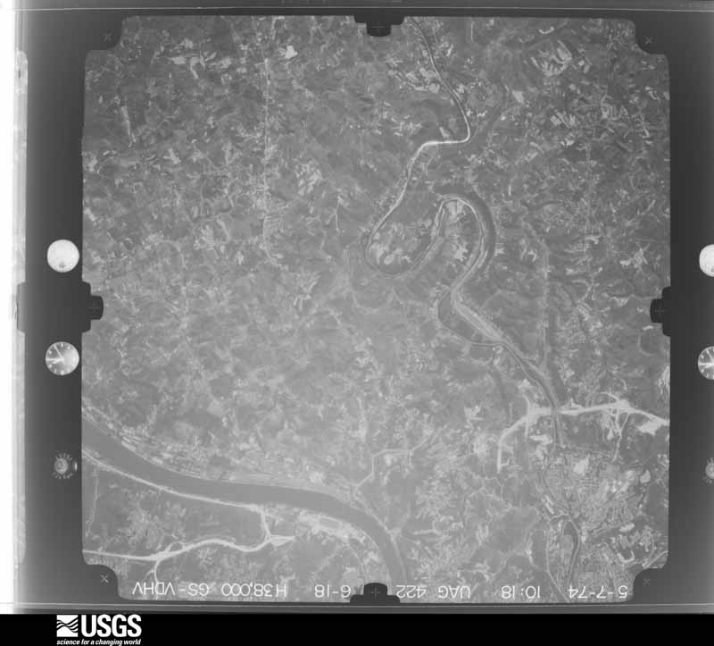
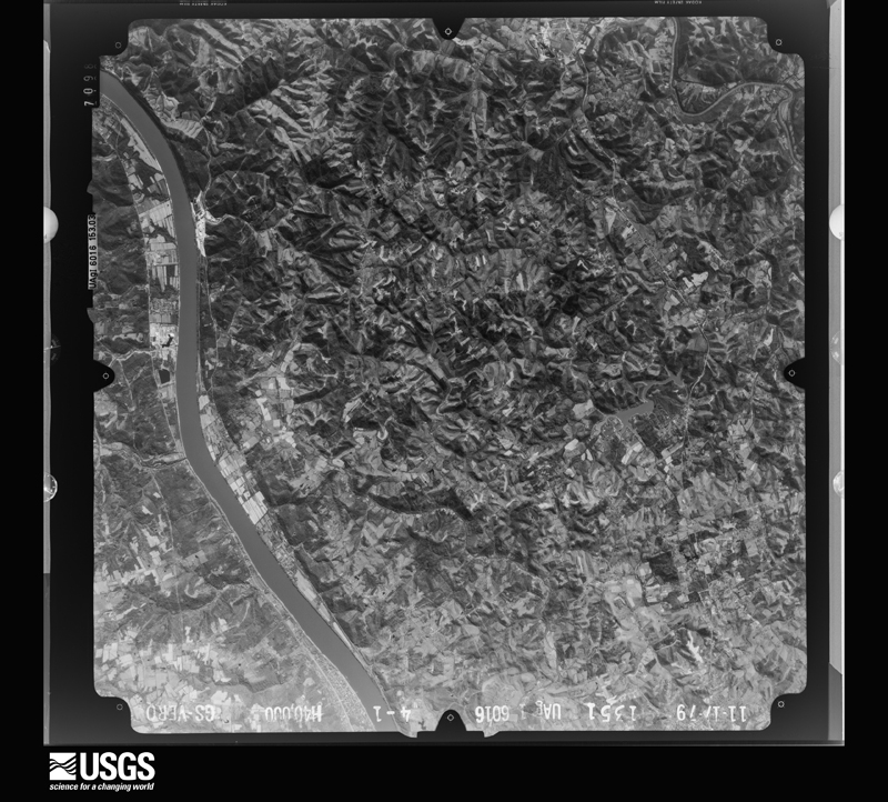
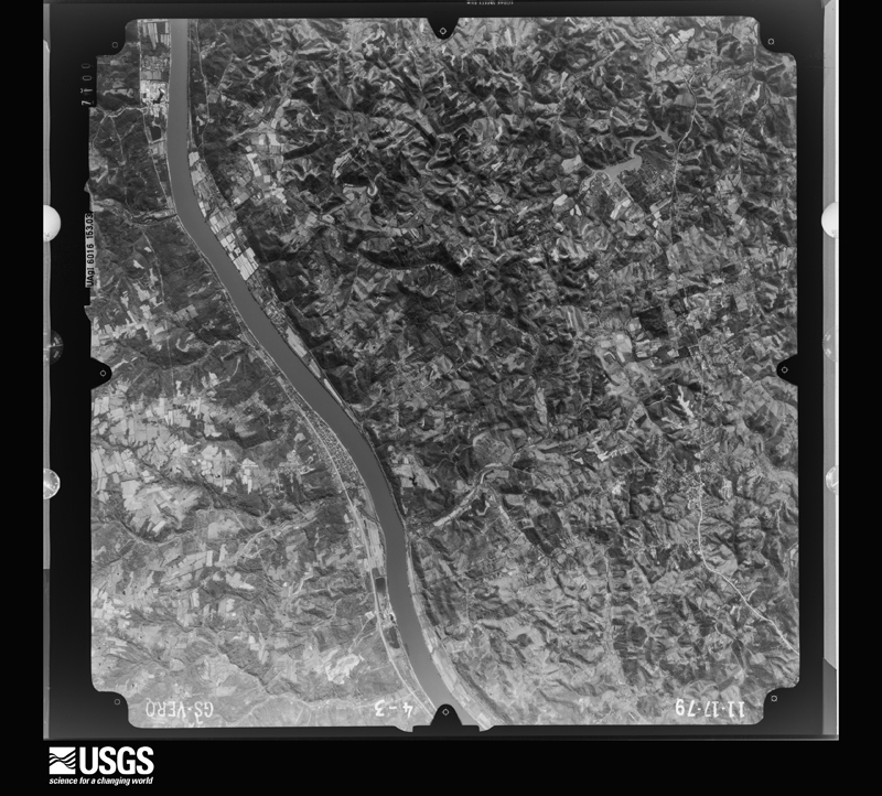
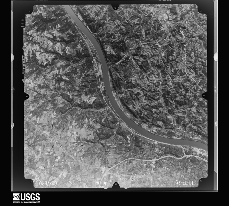
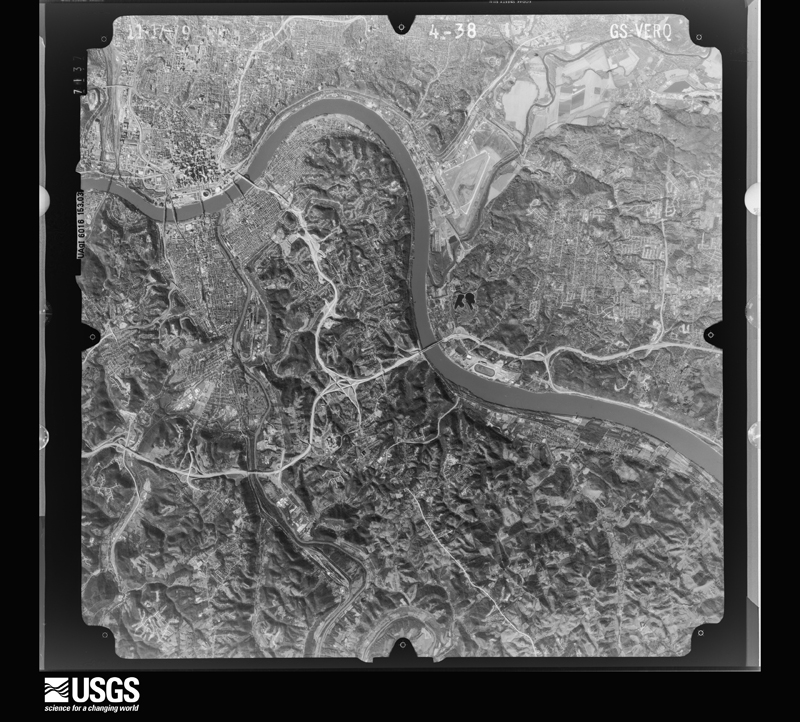
Flown by the U.S. Geological Survey between 1937 and 1989, the Aerial Photo Single Frames collection is the definitive mid-century view of the land: fields, roads and rivers as the camera saw them. The Survey holds 862 frames inside the rectangle that bounds this county; the 34 frames below were taken over the county itself, chosen across the decades of flights (at most four a year from that rectangle), so one flight cannot crowd out the rest. The full set is free to browse and download at EarthExplorer under the dataset Aerial Photo Single Frames.

U.S. Geological Survey aerial photograph, 1949-05-03, scale 1:14000
1949-05-03, scale 1:14000. U.S. Geological Survey aerial photograph.
U.S. Geological Survey aerial photograph, 1949-05-03, scale 1:14000
1949-05-03, scale 1:14000. U.S. Geological Survey aerial photograph.
U.S. Geological Survey aerial photograph, 1949-05-03, scale 1:14000
1949-05-03, scale 1:14000. U.S. Geological Survey aerial photograph.
U.S. Geological Survey aerial photograph, 1949-05-03, scale 1:14000
1949-05-03, scale 1:14000. U.S. Geological Survey aerial photograph.
U.S. Geological Survey aerial photograph, 1950-06-01, scale 1:23600
1950-06-01, scale 1:23600. U.S. Geological Survey aerial photograph.
U.S. Geological Survey aerial photograph, 1950-06-01, scale 1:23600
1950-06-01, scale 1:23600. U.S. Geological Survey aerial photograph.
U.S. Geological Survey aerial photograph, 1952-04-01, scale 1:23600
1952-04-01, scale 1:23600. U.S. Geological Survey aerial photograph.
U.S. Geological Survey aerial photograph, 1952-04-01, scale 1:23600
1952-04-01, scale 1:23600. U.S. Geological Survey aerial photograph.
U.S. Geological Survey aerial photograph, 1952-04-01, scale 1:23600
1952-04-01, scale 1:23600. U.S. Geological Survey aerial photograph.
U.S. Geological Survey aerial photograph, 1952-04-01, scale 1:23600
1952-04-01, scale 1:23600. U.S. Geological Survey aerial photograph.
U.S. Geological Survey aerial photograph, 1955-01-01, scale 1:24000
1955-01-01, scale 1:24000. U.S. Geological Survey aerial photograph.
U.S. Geological Survey aerial photograph, 1955-01-01, scale 1:24000
1955-01-01, scale 1:24000. U.S. Geological Survey aerial photograph.
U.S. Geological Survey aerial photograph, 1955-01-01, scale 1:24000
1955-01-01, scale 1:24000. U.S. Geological Survey aerial photograph.
U.S. Geological Survey aerial photograph, 1955-01-01, scale 1:24000
1955-01-01, scale 1:24000. U.S. Geological Survey aerial photograph.
U.S. Geological Survey aerial photograph, 1960-04-01, scale 1:24000
1960-04-01, scale 1:24000. U.S. Geological Survey aerial photograph.
U.S. Geological Survey aerial photograph, 1960-04-01, scale 1:24000
1960-04-01, scale 1:24000. U.S. Geological Survey aerial photograph.
U.S. Geological Survey aerial photograph, 1960-04-01, scale 1:24000
1960-04-01, scale 1:24000. U.S. Geological Survey aerial photograph.
U.S. Geological Survey aerial photograph, 1960-04-01, scale 1:24000
1960-04-01, scale 1:24000. U.S. Geological Survey aerial photograph.
U.S. Geological Survey aerial photograph, 1970-05-19, scale 1:24000
1970-05-19, scale 1:24000. U.S. Geological Survey aerial photograph.
U.S. Geological Survey aerial photograph, 1970-05-19, scale 1:24000
1970-05-19, scale 1:24000. U.S. Geological Survey aerial photograph.
U.S. Geological Survey aerial photograph, 1970-05-19, scale 1:24000
1970-05-19, scale 1:24000. U.S. Geological Survey aerial photograph.
U.S. Geological Survey aerial photograph, 1970-05-19, scale 1:24000
1970-05-19, scale 1:24000. U.S. Geological Survey aerial photograph.
U.S. Geological Survey aerial photograph, 1972-12-02, scale 1:24000
1972-12-02, scale 1:24000. U.S. Geological Survey aerial photograph.
U.S. Geological Survey aerial photograph, 1972-12-02, scale 1:24000
1972-12-02, scale 1:24000. U.S. Geological Survey aerial photograph.
U.S. Geological Survey aerial photograph, 1972-12-02, scale 1:24000
1972-12-02, scale 1:24000. U.S. Geological Survey aerial photograph.
U.S. Geological Survey aerial photograph, 1972-12-02, scale 1:24000
1972-12-02, scale 1:24000. U.S. Geological Survey aerial photograph.
U.S. Geological Survey aerial photograph, 1974-05-01, scale 1:76000
1974-05-01, scale 1:76000. U.S. Geological Survey aerial photograph.
U.S. Geological Survey aerial photograph, 1974-05-01, scale 1:76000
1974-05-01, scale 1:76000. U.S. Geological Survey aerial photograph.
U.S. Geological Survey aerial photograph, 1974-05-01, scale 1:76000
1974-05-01, scale 1:76000. U.S. Geological Survey aerial photograph.
U.S. Geological Survey aerial photograph, 1974-05-01, scale 1:76000
1974-05-01, scale 1:76000. U.S. Geological Survey aerial photograph.
U.S. Geological Survey aerial photograph, 1979-11-17, scale 1:80000
1979-11-17, scale 1:80000. U.S. Geological Survey aerial photograph.
U.S. Geological Survey aerial photograph, 1979-11-17, scale 1:80000
1979-11-17, scale 1:80000. U.S. Geological Survey aerial photograph.
U.S. Geological Survey aerial photograph, 1979-11-17, scale 1:80000
1979-11-17, scale 1:80000. U.S. Geological Survey aerial photograph.
U.S. Geological Survey aerial photograph, 1979-11-17, scale 1:80000
1979-11-17, scale 1:80000. U.S. Geological Survey aerial photograph.

Weather records

12 stations, 7 gages

The thermometers that kept this county's weather, and the gages that measured the flow of its streams, as the federal records hold them.

The 1950 census, district by district

105 districts

Who lived here in 1950, one enumeration district at a time, as the Census Bureau described each district. Each row opens its official National Archives result, with Population Schedules and ED Maps available there.

  • 19-1Newport city comprising parts of Magisterial Districts 1 and 2: Newport city - That part of Ward 2 in Magisterial District 1 Bounded by City limits; York; 3rd, Isabella, 4th, Unnamed street, 4th St. Hwy. Bridge; City limits
  • 19-2Newport city - That part of Ward 2 in Magisterial District 1 Bounded by 4th St. Hwy. Bridge, Unnamed street, 4th, Isabella, 3rd; Central Ave.; 6th; City limits
  • 19-3Newport city - That part of Ward 2 in Magisterial District 1 Bounded by 3rd; York; 6th, Columbia, 6th; Central Ave.
  • 19-4Newport city - That part of Ward 4 in Magisterial District 1 Bounded by 6th, Columbia, 6th; York; 9th; Columbia, 7th, Central Ave.
  • 19-5Newport city - That part of Ward 4 in Magisterial District 1 Bounded by 6th; Central Ave., 7th, Columbia; 9th; Central Ave., 8th, Isabella
  • 19-6Newport city - That part of Ward 4 in Magisterial District 1 Bounded by 6th; Isabella; 8th; Brighton
  • 19-7Newport city - That part of Ward 4 in Magisterial District 1 Bounded by 6th; Brighton, Keturah, Patterson; 9th; City limits
  • 19-8Newport city - That part of Ward 4 in Magisterial District 1 Bounded by 8th, Isabella, 8th; Central Ave.; 9th; Patterson, Keturah, Brighton
  • 19-9Newport city - That part of Ward 4 in Magisterial District 1 Bounded by 9th; York; 11th; Ann
  • 19-10Newport city - That part of Ward 4 in Magisterial District 1 Bounded by 11th; York; 14th; Central Ave., 12th, Ann
  • 19-11Newport city - That part of Ward 4 in Magisterial District 1 Bounded by 9th; Ann; 10th; Patterson
  • 19-12Newport city - That part of Ward 4 in Magisterial District 1 Bounded by 9th; Patterson; 11th, Cincinnati Newport Covington Street Railway Bridge; City limits
  • 19-13Newport city - That part of Ward 4 in Magisterial District 1 Bounded by Cincinnati Newport Covington Street Railway Bridge, 11th, Patterson, 10th; Ann, 12th, Central Ave.; Chesapeake and Ohio Railroad, City limits; City limits
  • 19-14Newport city - That part of Ward 6 in dagisterial District 1 Bounded by 14th, Magisterial District line; Monmouth, Alexandria Pike; 19th; Home
  • 19-15Newport city - That part of Ward 6 in Magisterial District 1 Bounded by Chesapeake and Ohio Railroad; Central Ave., 14th, Home; Amelia, Widrig, Amelia, Grandview Ave., City limits; City limits
  • 19-16Newport city - That part of Ward 6 in Magisterial District 1 Bounded by Amelia, Widrig, Amelia, Home, 19th; Alexandria Pike; Kentucky Dr.; Grandview Ave.
  • 19-17Newport city - That part of Ward 6 in Magisterial District 1 Bounded by Kentucky Dr.; Alexandria Pike; City limits; Grandview Ave.
  • 19-18Newport city - That part of Ward 1 in Magisterial District 2 Bounded by City limits; City limits; Riverside Dr., Beech, 2nd, Washington Ave., 2nd; Saratoga
  • 19-19Newport city - That part of Ward 1 in Magisterial District 2 Bounded by City limits; Saratoga; 4th; York
  • 19-20Newport city - That part of Ward 1 in Magisterial District 2 Bounded by 2nd, Washington Ave., 2nd; Park Ave.; 6th, Overton, 4th; Saratoga
  • 19-21Newport city - That part of Ward 1 in Magisterial District 2 Bounded by 2nd; Linden Ave., Nelson Pl., Linden Ave.; 6th; Park Ave.
  • 19-22Newport city - That part of Ward 1 in Magisterial District 2 Bounded by 2nd, Beech, Riverside Dr.; City limits; 6th; Linden Ave., Nelson Pl., Linden Ave.
  • 19-23Newport city - That part of Ward 1 in Magisterial District 2 Bounded by 4th; Overton; 6th; York
  • 19-24Newport city - That part of Ward 3 in Magisterial District 2 Bounded by 6th; City limits; 9th; Maple Ave.
  • 19-25Newport city - That part of Ward 3 in Magisterial District 2 Bounded by 6th; Maple Ave.; 9th; Monroe
  • 19-26Newport city - That part of Ward 3 in Magisterial District 2 Bounded by 6th; Monroe; 9th; Washington Ave.
  • 19-27Newport city - That part of Ward 3 in Magisterial District 2 Bounded by 6th; Washington Ave., 7th, Robert; 8th; Dayton
  • 19-28Newport city - That part of Ward 3 in Magisterial District 2 Bounded by 6th; Dayton; 9th; York
  • 19-29Newport city - That part of Ward 3 in Magisterial District 2 Bounded by 8th, Robert, 7th; Washington Ave.; 9th; Dayton
  • 19-30Newport city - That part of Ward 5 in Magisterial District 2 Bounded by 9th, City limits; City limits; Glazier Ave., Waterworks Rd., 10th; Monroe
  • 19-31Newport city - That part of Ward 5 in Magisterial District 2 Bounded by 9th; Monroe; 10th; York
  • 19-32Newport city - That part of Ward 5 in Magisterial District 2 Bounded by 10th; Chesapeake and Ohio Railroad; York
  • 19-33Newport city - That part of Ward 5 in Magisterial District 2 Bounded by Waterworks Rd., Glazier Ave., City limits; City limits; City limits; Grand Ave., Park Ave.
  • 19-34Newport city - That part of Ward 5 in Magisterial District 2, excluding Mt. St. Martin Home Bounded by Chesapeake and Ohio Railroad; Park Ave., Grand Ave.; City limits; Alexandria Pike, Monmouth, Magisterial District line
  • 19-35Mt. St. Martin Home (In Newport city Ward 5, Magisterial District 2)
  • 19-36Magisterial District 1, outside Newport city: Southgate city: Southgate city - That part Bounded by City limits; City limits; Orchard, Alexandria Pike, Orchard, Evergreen Ave., Walnut; City limits
  • 19-37Southgate city - That part Bounded by Walnut, Evergreen Ave., Orchard, Alexandria Pike, Orchard; City limits; City limits; City limits
  • 19-38Magisterial District 1, outside Newport city: Wilders town
  • 19-39Magisterial District 1 - That part outside Newport and Southgate cities and Wilders town (Remainder of Magisterial District 1, is in Newport city)
  • 19-40Woodlawn town, comprising that part of Magisterial District 2 outside Newport city (Remainder of Magisterial District 2, is in Newport city)
  • 19-41Magisterial District 3, Cutlying: Bellevue city: Bellevue city - That part of Ward 1 Bounded by City limits; Lafayette Ave.; Fairfield Ave.; City limits
  • 19-42Bellevue city - That part of Ward 1 Bounded by Fairfield Ave.; Lafayette Ave.; Center, Ward line; City limits
  • 19-43Bellevue city - That part of Ward 2 Bounded by City limits; Washington Ave.; Prospect; Lafayette Ave.
  • 19-44Bellevue city - That part of Ward 2 Bounded by Prospect; Washington Ave.; Center; Lafayette Ave.
  • 19-45Bellevue city - That part of Ward 3 Bounded by City limits; City limits; Fairfield Ave.; Washington Ave.
  • 19-46Bellevue city - That part of Ward 3 Bounded by Fairfield Ave.; City limits; Poplar; Washington Ave.
  • 19-47Bellevue city - That part of Ward 3 Bounded by Poplar; City limits; Center; Washington Ave.
  • 19-48Bellevue city - That part of Ward 4 Bounded by City limits; City limits; City limits; O'Fallon Ave.
  • 19-49Bellevue city - That part of Ward 4 Bounded by Center; City limits, O'Fallon Ave.; Covert Run Pike; Washington Ave.
  • 19-50Bellevue city - That part of Ward 4 Bounded by Center; Washington Ave.; Covert Run Pike; Berry, City limits, Lafayette Ave.
  • 19-51Bellevue city - That part of Ward 4 Bounded by Ward line, Center; Lafayette; City limits; City limits
  • 19-52Bellevue city - That part of Ward 4 Bounded by City limits, Berry, Covert Run Pike; City limits; City limits; City limits
  • 19-53Dayton city: Dayton city - That part of Ward 1 Bounded by City limits; City limits; 4th; Boone
  • 19-54Dayton city - That part of Ward 1 Bounded by 4th; City limits; City limits; Boone
  • 19-55Dayton city - That part of Ward 2 Bounded by City limits; Boone; 4th; Berry Ave.
  • 19-56Dayton city - That part of Ward 2 Bounded by 4th; Boone; City limits; Berry Ave.
  • 19-57Dayton city - That part of Ward 3 Bounded by City limits; Berry Ave.; 4th Ave.; McKinney
  • 19-58Dayton city - That part of Ward 3 Bounded by 4th Ave.; Berry Ave.; 7th Ave.; McKinney
  • 19-59Dayton city - That part of Ward 3 Bounded by 7th Ave.; Berry Ave., City limits; City limits; City limits, Blackburn Ave., Ward line, McKinney
  • 19-60Dayton city - That part of Ward 4 Bounded by City limits; McKinney; 4th Ave.; Vine
  • 19-61Dayton city - That part of Ward 4 Bounded by 4th Ave.; McKinney Ave.; 8th Ave.; Vine
  • 19-62Dayton city - That part of Ward 4 Bounded by 8th Ave.; McKinney, Ward line, Blackburn Ave.; City limits; Ward line, Vine
  • 19-63Dayton city - That part of Ward 5 Bounded by City limits; Vine; 6th Ave.; City limits
  • 19-64Dayton city - That part of Ward 5 Bounded by 6th Ave.; Vine; 9th Ave.; City limits
  • 19-65Dayton city - That part of Ward 5 Bounded by 9th Ave.; Vine, Ward line; City limits; City limits
  • 19-66Magisterial District 3, Outlying - That part Bounded by County line; Fort Thomas city limits; Dayton city limits; Dayton city limits
  • 19-67Magisterial District 3, Outlying - That part Bounded by Dayton city limits, Fort Thomas city limits; Fort Thomas city limits; Newport city limits; Bellevue city limits
  • 19-68Magisterial District 3, Outlying - That part Bounded by Newport city limits; Fort Thomas city limits; Newport city limits; Newport city limits, Woodlawn town limits
  • 19-69Magisterial District 3, Outlying - That part Bounded by Newport city limits; Fort Thomas city limits; Fort Thomas city limits; Southgate city limits, Newport city limits
  • 19-70Magisterial District 4, Cold Springs: Cold Spring town
  • 19-71Fort Thomas city: Fort Thomas city - That part excluding Veterans Administration Hospital (TB) Bounded by City limits; Mary Inglis Hwy.; Tower Hill Rd.; North Fort Thomas Ave., City limits
  • 19-72Veterans Administration Hospital (TB) (In Fort Thomas city, Magisterial District 4, Cold Springs)
  • 19-73Fort Thomas city - That part Bounded by City limits, North Fort Thomas Ave.; North Fort Thomas Ave.; Waterworks Rd., Cincinnati Newport Covington Railway.; City limits
  • 19-74CFort Thomas city - That part excluding Fort Thomas Military Reservation Bounded by Bivouac Ave., Rossmore Ave., Rossmore Ave. extended, U. S. Government Post property line to City limits; City limits; River Rd., Garrison Rd., South Fort Thomas Ave.
  • 19-74BFort Thomas city - That part Bounded by Tower Hill Rd., Mary Inglis Hwy., City limits; City limits; Lumley Ave. extended, Lumley Ave.; North Fort Thomas Ave., S. Montrose, Orinoco Ave., Burnett Ridge, North Fort Thomas Ave. cannot insertitutal for ED 74A,B. ***
  • 19-74AFort Thomas city - That part Bounded by Lumley Ave., Lumley Ave. extended to City limits; City limits; U. S. Government Post property line; Rossmore Ave. extended, Rossmore Ave., Bivouac Ave., South Fort Thomas Ave.
  • 19-75Fort Thomas Military Reservation (In Fort Thomas city Magisterial District 4, Cold Springs)
  • 19-76Fort Thomas city - That part Bounded by Cincinnati Newport Covington Railway; Water Works Rd., Burnett Ridge; Orinoco Ave., S. Montrose; North Fort Thomas Ave., Taylor Ave., Wilson Rd., Taylor Mill Rd., Maine Ave., City limits
  • 19-77Fort Thomas city - That part Bounded by Taylor Mill Rd., Wilson Rd.; Taylor Ave., North Fort Thomas Ave.; Highland Ave.; James Ave., Highland Hills Park line, Maine Ave.
  • 19-78Fort Thomas city - That part Bounded by City limits, Maine Ave.; Highland Hills Park line, James Ave.; Highland Ave.; City limits
  • 19-79Fort Thomas city - That part Bounded by Highland Ave.; South Fort Thomas Ave.; Tremont Ave.; Grand Ave.
  • 19-80Fort Thomas city - That part Bounded by Tremont Ave.; South Fort Thomas Ave.; Military Pkwy.; Robson Ave., Beechwood Ave., Robson Ave., Grand Ave.
  • 19-81Fort Thomas city - That part excluding Convent of the Good Shepherd Bounded by Grand Ave., Robson Ave., Beechwood Ave., Robson Ave., Military Pkwy.; South Fort Thomas Ave.; Alexandria Pike, City limits; Highland Ave.
  • 19-82Convent of the Good Shepherd (In Fort Thomas city, Magisterial District 4, Cold Springs)
  • 19-83Fort Thomas city - That part Bounded by South Fort Thomas Ave.; Garrison Ave., River Rd.; City limits; City limits, Alexandria Pike
  • 19-84Fort Thomas city - That part Bounded by City limits, Alexandria Pike; Alexandria Pike; City limits; City limits
  • 19-85Highland Heights city: Highland Heights city - That part Bounded by City limits; City limits; Steelman Ave., Alexandria Pike, Renshaw Rd., Miller Ave.; City limits
  • 19-86Highland Heights city - That part Bounded by Miller Ave., Renshaw Rd., Alexandria Pike, Steelman Ave.; City limits; City limits; City limits
  • 19-87Magisterial District 4, Cold Springs - That part Bounded by South Gate city limits, Fort Thomas city limits; Fort Thomas city limits; Fort Thomas city limits, Southgate city limits; Southgate city limits
  • 19-88Magisterial District 4, Cold Springs - That part east of U.S. Hwy. 27, outside Fort Thomas and Highland Heights cities, excluding St. Joseph Diocesan Orphan Asylum)
  • 19-89St. Joseph Diocesan Orphan Asylum (In Magisterial District 4, Cold Springs)
  • 19-90Magisterial District 4, Cold Springs - That part west of U.S. Hwy. 27, east of State Hwy. 9, outside Cold Springs town, Fort Thomas and Highland Heights cities
  • 19-91Magisterial District 4, Cold Springs - That part west of State Hwy. 9
  • 19-92Magisterial District 5, Alexandria: Alexandria town
  • 19-93Magisterial District 5, Alexandria - That part Bounded by Magisterial District line; County line; Magisterial District line; State Hwy. 8
  • 19-94Magisterial District 5, Alexandria - That part Bounded by State Hwy. 8; Magisterial District line; Silver Grove-New Richmond Rd.
  • 19-95Magisterial District 5, Alexandria - That part Bounded by Magisterial District line; State Hwy. 8, Silver Grove-Alexandria Rd.; Silver Grove-Alexandria Rd., Alexandria town limits; U.S. Hwy. 27, Magisterial District line
  • 19-96N/A
  • 19-97Magisterial District 5, Alexandria - That part Bounded by Silver Grove - New Richmond Rd.; Magisterial District line; Magisterial District line; U.S. Hwy. 27, Alexandria town limits, Silver Grove - Alexandria Rd.
  • 19-98Magisterial District 6, Gubser: California town
  • 19-99Magisterial District 6, Gubser - That part northeast of State Hwy. 10, outside California town
  • 19-100Magisterial District 6, Gubser - That part southwest of State Hwy. 10
  • 19-101Magisterial District 7, Grants Lick Magisterial District 7, Grants Lick - That part east of U.S. Hwy. 27
  • 19-102Magisterial District 7, Grants Lick - That part west of U.S. Hwy. 27
  • 19-103Magisterial District 3, Outlying - That part situated between Bellevue and Fort Thomas cities Bounded by Bellevue city limits; Bellevue city limits; Bellevue city limits; Magisterial District line

Storms, 1958 to 2025

60 of 253 shown

The NOAA Storm Events Database holds 253 reports for this county, causing no deaths, 50 injuries and about $2,354,500 in recorded property damage. Each settlement page carries the reports that name it.

Kind of event Reports
Thunderstorm Wind126
Hail61
Flash Flood41
Flood18
Tornado3
Heavy Rain3
Lightning1

The most serious of them, by death, then injury, then recorded damage. The accounts are quoted exactly as the forecast office filed them.

WhenEvent Place namedHarm What the report says
March 1986Thunderstorm Windnot stated40 hurtno account filed
July 1958Tornado (F2)not stated8 hurt, $250,000no account filed
November 1973Tornado (F1)not stated2 hurt, $25,000no account filed
March 2012Tornado (EF3)Grants Lick$1,000,000The tornado initially touched down in south central Campbell County at 1639 EST near Peach Grove Road and crossed Fisher Road northwest of Peach Grove. The tornado then crossed into Pendleton County at 1641 EST after producing high end EF3 damage along Reid Ridge Road near the Campbell and Pendleton County line. The tornado then moved across Mays Road producing significant and widespread EF2 to low end EF3 damage. The tornado then crossed AA highway and eventually the Ohio River, after crossing Kentucky Highway 8. Based on the damage surveyed, the maximum wind speed of the tornado was estimated to be 160 miles per hour in Campbell County and 140 miles per hour in Pendleton County. The tornado traveled a total of 2.68 miles in Campbell County, and 4 miles in Pendleton County. The tornado then moved into Clermont County Ohio at 1646 EST, where it hit the town of Moscow, causing EF3 damage. The tornado continued on the ground across Clermont County, crossing into Brown County at 1658 EST. The tornado then lifted south of Hamersville in western Brown County at 1702 EST. This tornado caused extensive damage to structures and trees along its entire path on both sides of the Ohio River. Numerous homes were very heavily damaged or destroyed. Many homes lost their roofs, having complete exterior wall failure. Some modular homes were completely removed from their foundations, lifted, and thrown in excess of 100 yards where they were destroyed. The damage in Ohio from this tornado was consistent with maximum winds estimated at 160 miles per hour in Clermont County, and 100 miles per hour in Brown County. The tornado traveled a total of 11.04 miles in Clermont County, and 2.69 miles in Brown County.
August 2024Thunderstorm WindHawthorne$50,000Numerous trees were downed along Backus Drive. A few houses sustained damage from the fallen trees.
May 2020Flash FloodNewport$50,000State Route 9 was closed due to a landslide near the Wilder/Newport border.
July 2016Flash FloodNewport$50,000Over 20 homes were flooded, with up to 6 feet of water in more than a dozen of the homes.
July 2013FloodNewport$50,000Several basements of homes on Riddle Place in Newport were flooded due to heavy rainfall.
May 2003Flash FloodDayton$50,000Fifty homes were flooded with two determined to be uninhabitable. Numerous roads were closed due to high water.
July 1994Thunderstorm Windnot stated$50,000Numerous trees down, including some on homes, in the Dayton and Bellevue area.
April 2020Thunderstorm WindHighland Hgts$40,000Multiple homes on Johns Hill Road received damage to their roofs in the form of shingle loss.
October 2016Thunderstorm WindGrants Lick$25,000Twenty-nine trees of various sizes were knocked down at a residence on Lees Rd. Some were snapped and some were uprooted.
June 2008Thunderstorm WindGrants Lick$25,000Several homes and structures in Grants Lick sustained minor damage. A barn was destroyed along US Route 27.
April 2002Thunderstorm WindCountywide$25,000Thunderstorm winds dropped trees across the county.
July 1998LightningHighland Hgts$25,000Lightning struck an apartment building, causing the roof and top floor to catch on fire.
April 2024FloodCold Spg$20,000A vehicle lost control on the AA highway due to ponding of water on the roadway, resulting in a fatality (indirect).
July 2023Flash FloodOneonta$20,000Flash flooding caused damage to a roadway and a culvert.
June 2022Thunderstorm WindSouthgate$20,000A few trees were downed near the I-275/I-471 interchange. The winds also pushed cars into other lanes, causing some accidents.
November 2013Thunderstorm WindNewport$20,000Roof and fascia damage occurred to a shopping plaza due to thunderstorm winds.
May 2011Thunderstorm WindAlexandria$20,000Heavy tree damage occurred in a cemetery. Most of these trees were snapped off and uprooted. There was minor structural damage to roofs and shingles on a few residences. Damaging thunderstorms winds were determined to be the cause.
July 1998Thunderstorm WindNewport$20,000Strong winds caused a roof to be blown off a structure.
December 2015Thunderstorm WindMantor$17,500A barn was blown over near Lanes End Rd. Also numerous trees were blown down throughout the county.
February 2000Flash FloodCountywide$15,000Several roads were closed due to flooded creeks.
November 2000Thunderstorm WindFt Thomas$15,000Thunderstorm winds downed numerous trees and power lines. One tree fell on a house.
March 2025Thunderstorm WindNewport$10,000A large tree was downed onto a residence.
July 2019Thunderstorm WindNewport$10,000Several trees and power lines were downed in the Newport area, including on 4th Avenue, in the 100 block of Covert Run Pike and near the intersection of Waterworks Road and Taylor Avenue.
September 2018Flash FloodSouthgate$10,000Portions of pavement along Three Mile Road were washed away.
December 2013Thunderstorm WindAlexandria$10,000Numerous large trees were down in Alexandria and surrounding areas due to thunderstorm winds.
August 2013Thunderstorm WindAlexandria$10,000A tree fell on a house near Alexandria due to thunderstorm winds.
June 2012Thunderstorm WindAlexandria$10,000Numerous trees were reported down due to damaging thunderstorm winds.
July 2012Thunderstorm WindClaryville$10,000Numerous trees were reported down throughout the southern portions of the county due to thunderstorm winds.
September 2009FloodSouthgate$10,000Roads were flooded in addition to basements due to the heavy rains.
June 2008Flash FloodAlexandria$10,000A road near State Route 10 was washed out. High water closed several other roads throughout the county.
March 2008FloodAlexandria$10,000Several roads were flooded and closed, including Dodsworth Lane at State Routes 8 and 1998, Twelvemile Road in Oneonta, and State Route 9 at Interstate 275 in Highland Heights.
April 2006Thunderstorm WindCountywide$10,000Trees were downed across the county.
December 2006Thunderstorm WindCold Spg$10,000Trees and power lines were downed across the northern part of the county.
May 2002Thunderstorm WindCountywide$10,000Numerous trees were knocked down across the county.
January 2000Flash FloodCountywide$10,000Roads were flooded by heavy rainfall.
August 2000Thunderstorm WindCountywide$10,000Numerous trees downed across the county.
June 1998Flash FloodCountywide$10,000Numerous roads closed due to heavy rainfall.
June 1998Thunderstorm WindCountywide$10,000Several trees down.
July 1997Thunderstorm WindAlexandria$10,000Trees downed.
May 1997Flash FloodCountywide$10,000Persistent heavy rainfall caused may roads to be flooded by area creeks. The heavy rainfall and flooding continued into June 1st.
June 1997Flash FloodCountywide$10,000Persistent heavy rainfall caused many roads and creeks to be flooded.
June 2008Thunderstorm WindAlexandria$8,000Trees were knocked down across the county.
July 2002Thunderstorm WindDayton$8,000A few trees were blown down.
May 2022Thunderstorm WindAlexandria$5,000Several trees were downed in the Alexandria area.
April 2020Thunderstorm WindAlexandria$5,000Numerous trees with 6 inch diameter trunks were knocked down.
July 2019Thunderstorm WindAlexandria$5,000Numerous trees were downed in the Alexandria area.
August 2018Thunderstorm WindNewport$5,000Several trees were reported knocked down on cars.
March 2017Thunderstorm WindAlexandria$5,000A large tree was downed and a porch was uplifted and blown downwind several hundred feet.
July 2015Thunderstorm WindNewport$5,000A large tree fell onto a car on 4th Street in Newport.
August 2013Thunderstorm WindGrants Lick$5,000Several trees were reported down in the southern portions of Campbell County due to thunderstorm winds.
July 2010Flash FloodAlexandria$5,000Part of Lower Tug Fork Road was washed away by flood waters.
July 2007Thunderstorm WindNewport$5,000Numerous trees were knocked down across the northern part of the county.
July 2006Thunderstorm WindFt Thomas$5,000Trees were downed across the northern part of the county.
June 2005Thunderstorm WindAlexandria$5,000Trees were knocked down.
July 2003Thunderstorm WindCold Spg$5,000Several trees and powerlines were downed.
July 2003Thunderstorm WindCountywide$5,000Trees were knocked down.
July 2001Flash FloodCountywide$5,000Numerous roads closed across the county including Route 10.

Mines and quarries

2 recorded

The Survey's mineral resources record lists 2 workings inside this county. None of them still produces: all are closed or unrecorded. Each settlement page carries the workings within five miles of it.

Commodity Workings
Clay1
Sand and Gravel, Construction1

The least common of them first, because a county's hundredth gravel pit says nothing its first ten did not.

Where SiteCommodity StatusRecorded
Brush Creek ClayClayProspect
Silver Grove YardSand and Gravel, ConstructionPast Producer

Every populated place in the county

57

Named settlements recorded in the Geographic Names Information System, each with the topographic sheets covering it. Villages, hamlets and abandoned places alike. Each is shown with the nearest named watercourse or landform and the survey quadrangle it falls on. The 2 places that were also surveyed for fire insurance come first, with the number of atlases and photographs held for them.

The vanished settlements of Campbell County: the places named above that are no longer on the map.

Recorded here

Newport, Kentucky

19 topographic sheets and 5 fire insurance atlases, 1886 to 1953

Dayton, Kentucky

19 topographic sheets and 1 fire insurance atlases, 1886

Everything this county holds

The complete index, with nothing left out. Each of these is a separate record with its own page: a federal survey report, or the case file that argued a property on to the National Register. Both are public domain and reproduced word for word.
Surveyed structures

27 structures

The vanished settlements of Campbell County, the places these records name that are no longer on the map.
Provenance

  • Topographic sheets. USGS Historical Topographic Map Collection, county index, measured from the bulk metadata.
  • Fire insurance maps. Library of Congress Sanborn collection, faceted to this county.
  • Photographs. Each place queried individually against the Library of Congress Prints and Photographs search.
  • Wildfire. Short, Karen C. 2022. Spatial wildfire occurrence data for the United States, 1992-2020 [FPA_FOD_20221014]. 6th Edition. Fort Collins, CO: Forest Service Research Data Archive. https://doi.org/10.2737/RDS-2013-0009.6 Collected with United States Government funding and usable without additional permissions or fees.
  • Mines and quarries. USGS Mineral Resources Data System (MRDS) https://mrdata.usgs.gov/mrds/ A work of the United States government, no copyright under 17 U.S.C. 105.
  • Storms. NOAA National Centers for Environmental Information, Storm Events Database https://www.ncei.noaa.gov/stormevents/ A work of the United States government, no copyright under 17 U.S.C. 105. Narratives are quoted verbatim from the National Weather Service report and are not edited or summarised.