 Block
Rome, Kentucky
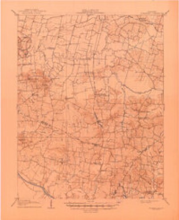
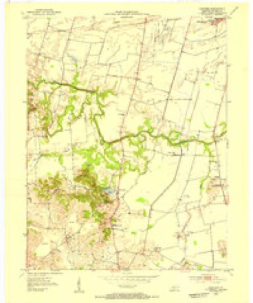
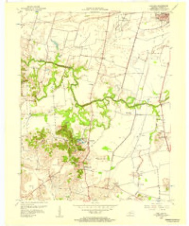
15 topographic sheets cover this place, the earliest surveyed in 1906 and the latest in 1991. It stands in the Utica-Stanley census division. It lies in ZIP code area 42301. The Survey maps it on the Panther quadrangle. It stands 404 feet above sea level.
Topographic sheets covering this place
9 surveys from 15 printed sheetsMatched by testing this settlement's coordinate against the published boundary of every sheet in the United States Geological Survey's historical collection. Each opens the scanned sheet at the Survey.
- 1906 USGS Sutherland quadrangle1:62500, 3 printings
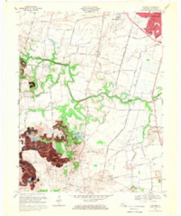
- 1953 USGS Panther quadrangle1:24000
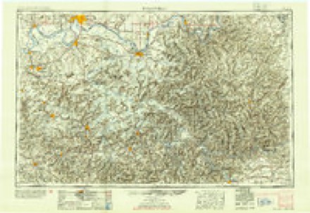
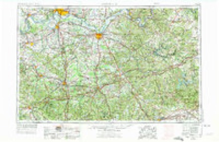
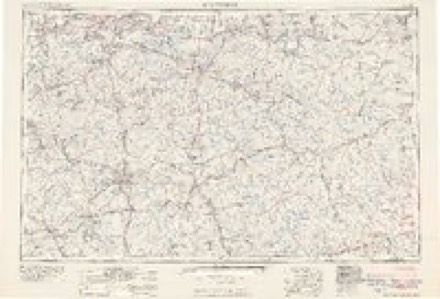
- 1954 USGS Evansville quadrangle1:250000
- 1956 USGS Panther quadrangle1:24000
- 1957 USGS Evansville quadrangle1:250000, 3 printings
- 1961 USGS Evansville quadrangle1:250000, 2 printings
- 1968 USGS Panther quadrangle1:24000, 2 printings
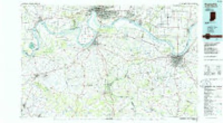
- 1986 USGS Evansville quadrangle1:100000
- 1991 USGS Evansville quadrangle1:100000
Fires near this place
3 since 2001Regional context, not property-specific evidence. The federal wildfire occurrence database lists 3 fires within 5 miles of Rome between 2001 and 2009, burning about 5 acres in total. None started naturally. None was recorded as arson. Distance is straight-line from the map coordinates, so a fire counted here may appear on a neighbouring settlement's page as well.
| Reported cause | Fires |
|---|---|
| Recreation and ceremony | 2 |
| Debris and open burning | 1 |
The most recent of them, most recent first, with the day each was reported and the service that recorded it.
| Date | Cause | Size | Reported by | Name on the report |
|---|---|---|---|---|
| 7 June 2007 | Recreation and ceremony | 1.0 acres | Kentucky Division of Forestry | not named |
| 20 March 2009 | Recreation and ceremony | 4.0 acres | Kentucky Division of Forestry | not named |
| 19 February 2001 | Debris and open burning | under an acre | Kentucky Division of Forestry | not named |
Settlements close enough to share some of these fires:
Storms near this place
6 since 2000Regional context, not property-specific evidence. The National Weather Service names Rome in 6 storm reports between 2000 and 2024: 2 tornado, 2 thunderstorm wind, 1 hail, 1 flood. The reports record 18 injuries. Each account below is quoted exactly as the forecast office filed it, from the NOAA Storm Events Database, and each date opens the federal record of that event.
| When | Event | Place named | Harm | What the report says |
|---|---|---|---|---|
| January 2000 | Tornado (F3) | Rome | 18 hurt, $64,000,000 | The tornado first touched down near the community of Rome, just southwest of Owensboro, and entered the city near the southern boundary of Owensboro Airport. The tornado tracked northeast through the heart of Owensboro before dissipating on the east side of town. Peak winds were estimated at 180 MPH. Since the tornado path was mostly through densely populated residential and commercial areas, damage was in the tens of millions, but injuries were surprisingly few. Of the 18 injuries, one was critical, and the rest were relatively minor. The critically injured person was in a home near the beginning of the damage path. This person sustained broken vertebrae and numerous cuts and bruises. Owensboro landmarks heavily damaged by the tornado included Apollo High School, Kentucky Wesleyan College, and the Winn-Dixie Store. Damage to the 12 buildings at Kentucky Wesleyan College was estimated to be near 5 million dollars. Small to mid size automobiles were tossed about by the wind. Damage to utility lines was extensive, and repairs took about 10 days to complete. Final damage tallies showed about 1200 homes and businesses sustained damage. Of those 1200 structures, 101 were totally destroyed and 573 sustained major damage. Owensboro was declared a federal disaster area. An emergency shelter accomodated roughly 150 persons, including many from local nursing homes. Owensboro schools were closed for a week. |
| April 2023 | Thunderstorm Wind | Rome | $35,000 | A peak wind gust of 66 mph was measured at the Owensboro airport. Highway 81 was closed due to power lines and poles on the highway. |
| May 2024 | Tornado (EF1) | Rome | $30,000 | An EF-1 tornado touched down briefly just north of Rome, KY. One farm outbuilding was severely damaged, with heavy machinery tossed or pushed into nearby open fields. A grain bin and outbuildings were also damaged. Two large trees were snapped at the base, and several large limbs were downed. The estimated peak wind was 95 mph. The path length was under one mile and the maximum path width was 100 yards. |
| May 2024 | Thunderstorm Wind | Rome | $10,000 | Straight-line wind damage occurred on the south side of the Rome, KY tornado track. An outbuilding collapsed and tree limbs were broken. |
| May 2018 | Flood | Rome | $5,000 | Two vehicles were stranded in floodwater in rural areas south of Owensboro. |
| October 2007 | Hail | Rome | - | Large hail fell across the Owensboro area with a supercell thunderstorm. Golf-ball size hail fell in Thurston. Dime-size hail fell in Rome. |
Nearest settlements
The eight closest, with where each one stands in the county. Distances are straight-line, computed from the Geographic Names Information System coordinates.
| Map | Place | Distance | Sheets |
|---|---|---|---|
| Twin Lakes | 1.3 miles | 15 | |
| Broad Acres | 2.2 miles | 19 | |
| Tuck | 3.1 miles | 15 | |
| Parish | 3.2 miles | 19 | |
| Pettit | 3.4 miles | 15 | |
| Saint Raphael (historical) | 3.8 miles | 15 | |
| Moseleyville | 4.1 miles | 15 | |
| Sorgho | 4.2 miles | 19 |
Elsewhere
Matched on this settlement's Geographic Names Information System number rather than its name, so it cannot be a different place of the same name in another state.
| Wikipedia article on Rome | An encyclopaedic summary. Its text is share-alike, so it is linked here rather than copied. |
| Wikidata item Q7362948 | The structured record the population and elevation above come from. Public domain (CC0). |
Provenance
This settlement is recorded in the Geographic Names Information System as feature 502304. The sheet list is computed by point-in-boundary test against the United States Geological Survey's historical topographic inventory. Both are works of the United States government and carry no copyright under 17 U.S.C. 105.
Wildfire. Short, Karen C. 2022. Spatial wildfire occurrence data for the United States, 1992-2020 [FPA_FOD_20221014]. 6th Edition. Fort Collins, CO: Forest Service Research Data Archive. https://doi.org/10.2737/RDS-2013-0009.6 Collected with United States Government funding and usable without additional permissions or fees.
Storms. NOAA National Centers for Environmental Information, Storm Events Database https://www.ncei.noaa.gov/stormevents/ A work of the United States government, no copyright under 17 U.S.C. 105. Narratives are quoted verbatim from the National Weather Service report and are not edited or summarised.