 Block
Sorgho, Kentucky
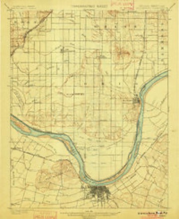
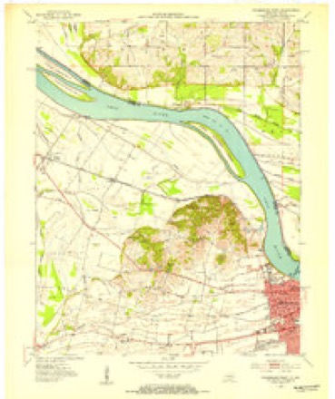
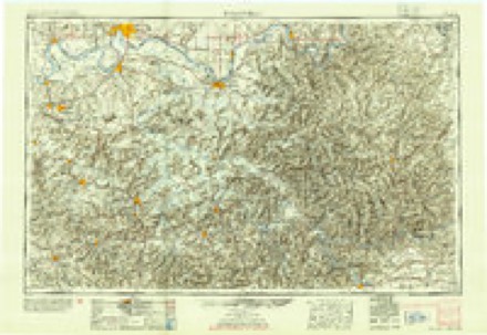
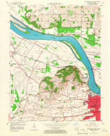
19 topographic sheets cover this place, the earliest surveyed in 1901 and the latest in 1991. It stands in the Utica-Stanley census division. It lies in ZIP code area 42301. It stands on Katie Meadow Slough. The Survey maps it on the Owensboro West quadrangle. 1,972 people lived here at the 2020 count. It stands 397 feet above sea level.
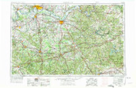
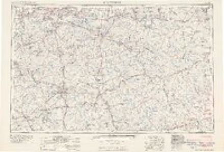
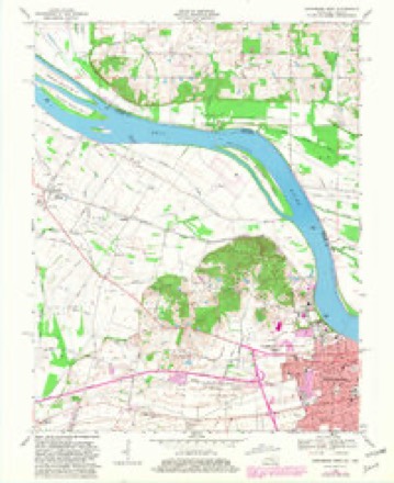
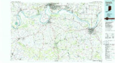
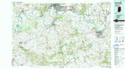
Topographic sheets covering this place
9 surveys from 19 printed sheetsMatched by testing this settlement's coordinate against the published boundary of every sheet in the United States Geological Survey's historical collection. Each opens the scanned sheet at the Survey.
- 1901 USGS Owensboro quadrangle1:62500, 5 printings
- 1952 USGS Owensboro West quadrangle1:24000
- 1954 USGS Evansville quadrangle1:250000
- 1956 USGS Owensboro West quadrangle1:24000, 2 printings
- 1957 USGS Evansville quadrangle1:250000, 3 printings
- 1961 USGS Evansville quadrangle1:250000, 2 printings
- 1968 USGS Owensboro West quadrangle1:24000, 3 printings
- 1986 USGS Evansville quadrangle1:100000
- 1991 USGS Evansville quadrangle1:100000
Storms near this place
8 since 2006Regional context, not property-specific evidence. The National Weather Service names Sorgho in 8 storm reports between 2006 and 2025: 4 hail, 2 flood, 1 heavy rain, 1 tornado. No death or injury is recorded in these reports. Each account below is quoted exactly as the forecast office filed it, from the NOAA Storm Events Database, and each date opens the federal record of that event.
| When | Event | Place named | Harm | What the report says |
|---|---|---|---|---|
| February 2025 | Flood | Sorgho | - | Flash flooding from the evening of the 15th transitioned to areal flooding early on the 16th. Numerous highways and county roads remained closed, mainly to the south and west of Owensboro, as well as near Oklahoma. |
| March 2025 | Hail | Sorgho | - | Ping pong ball size hail occurred near Sorgho. |
| March 2018 | Flood | Sorgho | - | Minor road flooding was reported along portions of Highways 279, 298, and 764. Signs were posted to advise motorists of water on the road. |
| September 2018 | Tornado (EF0) | Sorgho | - | This weak tornado caused no property damage, however a path of crop damage was visible in drone footage. Peak winds were estimated near 80 mph. The tornado touched down on Highway 279 and continued northeast for about 0.6 miles to Highway 56. The tornado track was based on video and drone footage. |
| October 2013 | Heavy Rain | Sorgho | - | A trained spotter reported a calendar day rainfall total of 3.46 inches. |
| September 2006 | Hail | Sorgho | - | A swath of quarter-size hail occurred from Sorgho to the south side of Owensboro. Copious amounts of quarter-size hail fell in Sorgho. Dime to quarter-size hail fell on the south and southeast sides of Owensboro. |
| March 2020 | Hail | Sorgho | - | no account filed |
| October 2007 | Hail | Sorgho | - | no account filed |
Nearest settlements
The eight closest, with where each one stands in the county. Distances are straight-line, computed from the Geographic Names Information System coordinates.
| Map | Place | Distance | Sheets |
|---|---|---|---|
| Parish | 2.9 miles | 19 | |
| Birk City | 3.0 miles | 14 | |
| Broad Acres | 3.1 miles | 19 | |
| Saint Raphael (historical) | 3.4 miles | 15 | |
| Rome | 4.2 miles | 15 | |
| Sauer (historical) | 4.4 miles | 14 | |
| West Louisville | 4.4 miles | 13 | |
| Curdsville | 4.6 miles | 13 |
Elsewhere
Matched on this settlement's Geographic Names Information System number rather than its name, so it cannot be a different place of the same name in another state.
| Wikipedia article on Sorgho | An encyclopaedic summary. Its text is share-alike, so it is linked here rather than copied. |
| Wikidata item Q7563463 | The structured record the population and elevation above come from. Public domain (CC0). |
Provenance
This settlement is recorded in the Geographic Names Information System as feature 503882. The sheet list is computed by point-in-boundary test against the United States Geological Survey's historical topographic inventory. Both are works of the United States government and carry no copyright under 17 U.S.C. 105.
Storms. NOAA National Centers for Environmental Information, Storm Events Database https://www.ncei.noaa.gov/stormevents/ A work of the United States government, no copyright under 17 U.S.C. 105. Narratives are quoted verbatim from the National Weather Service report and are not edited or summarised.