BlockBefore

Daviess County, Kentucky

81 topographic sheets and 9 fire insurance atlases across 1 place.

Research this county

From the record

38 National Register listings published here · the county-history sources name 1 person · people the book names include General Progress (Owensboro, 1883) (machine-read).

Sources: the county history on the Internet Archive · the National Register database, National Park Service

Kentucky within the United States
Daviess County within Kentucky

What the record shows

  • 1 place in this county was surveyed for fire insurance: Owensboro, between 1885 and 1957.
  • 9 fire insurance atlases survive for the county. Topographic coverage is national; fire insurance survey reached only incorporated places with something worth insuring.
  • 1,050 topographic sheet readings cover the county's settlements.
  • 38 properties here are on the National Register of Historic Places: 31 buildings, 5 districts and 2 objects.
  • 6 of the 38 listings were added during the 1970s.
  • The Geographic Names Information System records 66 populated places in this county; 66 are covered by at least one topographic sheet.

Photographs

22 photographs, 2020

Taken for the Office of War Information and the Farm Security Administration, who photographed the country between 1935 and 1944. Works of United States government photographers, with no known restriction on use. Each opens its catalogue record.

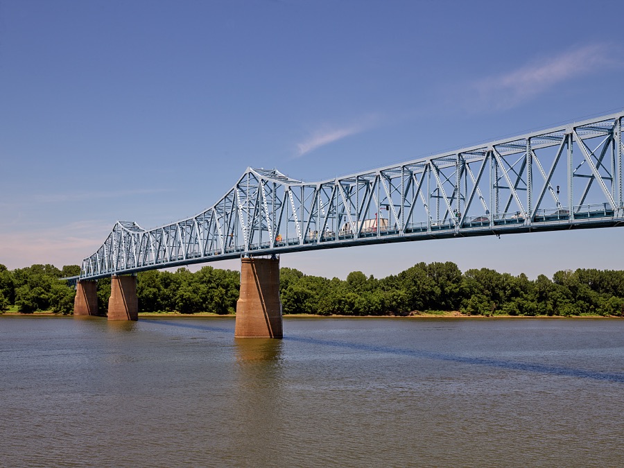
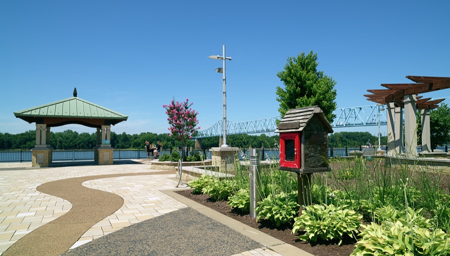
The Owensboro Bridge, a continuous truss span over the Ohio River, connects Owensboro, Kentucky's fourth-largest city, with rural south-central Indiana
Highsmith, Carol M, 2020. Library of Congress
The homemade dessert section of the Moonlite Bar-b-q Inn, a popular barbecue restaurant in the Ohio River city of Owensboro, Kentucky's fourth-largest city
Highsmith, Carol M, 2020. Library of Congress
Entrance to the Daviess County Library in the Ohio River city of Owensboro, Kentucky's fourth-largest city
Highsmith, Carol M, 2020. Library of Congress
Instruments displayed at the Kentucky Bluegrass Museum in the Ohio River city of Owensboro, Kentucky's fourth-largest city
Highsmith, Carol M, 2020. Library of Congress
Just a portion of the legendary Bourbon Bar at the Miller House restaurant and lounge, located in a mansion built in 1905 in the Ohio River city of Owensboro, Kentucky's fourth-largest city
Highsmith, Carol M, 2020. Library of Congress
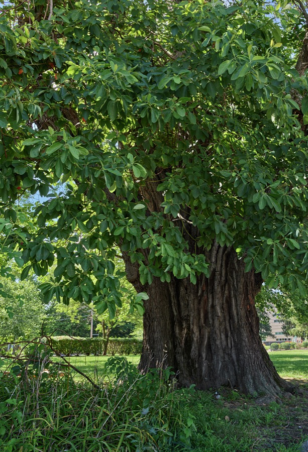
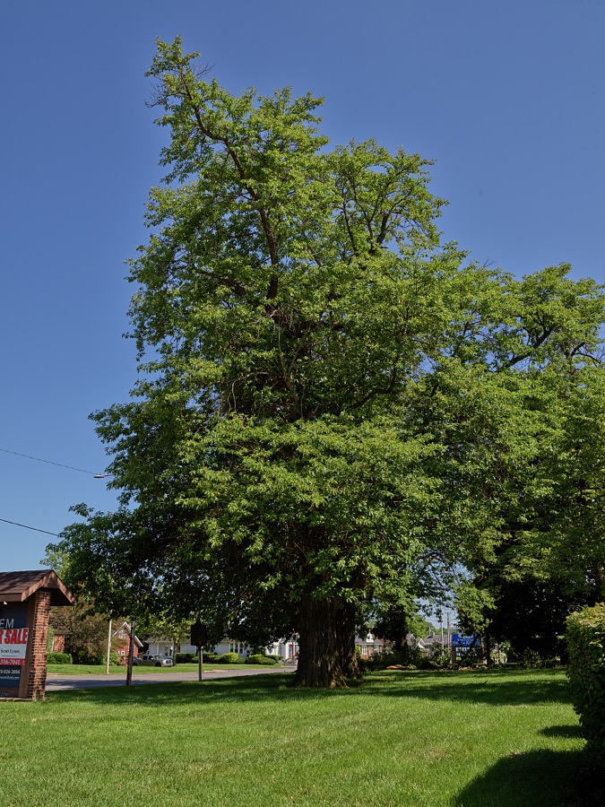
The lower reaches of a 250- to 300-year-old sassafras tree, said locally to, probably be, at more than 100 feet tall, the world's tallest tree of that species, which stands quite tall in the Ohio River city of Owensboro, Kentucky's fourth-largest city
Highsmith, Carol M, 2020. Library of Congress
The Kentucky Bluegrass Museum in the Ohio River city of Owensboro, Kentucky's fourth-largest city
Highsmith, Carol M, 2020. Library of Congress
Display outside the Moonlite Bar-b-q Inn, a popular barbecue restaurant in the Ohio River city of Owensboro, Kentucky's fourth-largest city
Highsmith, Carol M, 2020. Library of Congress
The lower reaches of a 250- to 300-year-old sassafras tree, said locally to, probably be, at more than 100 feet tall, the world's tallest tree of that species, which stands quite tall in the Ohio River city of Owensboro, Kentucky's fourth-largest city
Highsmith, Carol M, 2020. Library of Congress
Display at the Kentucky Bluegrass Museum in the Ohio River city of Owensboro, Kentucky's fourth-largest city
Highsmith, Carol M, 2020. Library of Congress
The Charles E. Shelton Memorial in the Ohio River city of Owensboro, Kentucky's fourth-largest city
Highsmith, Carol M, 2020. Library of Congress
The Smothers Park fountain in the Ohio River city of Owensboro, Kentucky's fourth-largest city
Highsmith, Carol M, 2020. Library of Congress
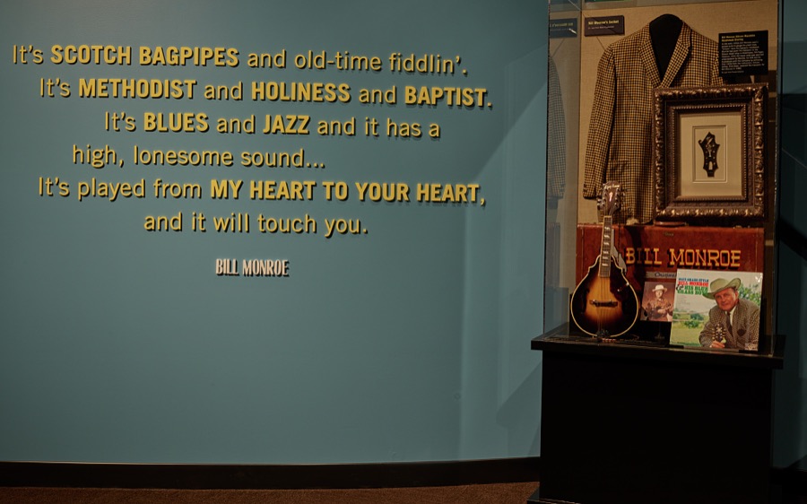
Display honoring the music, and thoughts, of Bill Monroe, remembered as the "Father of Bluegrass" music, at the Kentucky Bluegrass Museum in the Ohio River city of Owensboro, Kentucky's fourth-largest city
Highsmith, Carol M, 2020. Library of Congress
A fun fish at the Lazy Dayz playground in the Ohio River city of Owensboro, Kentucky's fourth-largest city
Highsmith, Carol M, 2020. Library of Congress
Display at the Kentucky Bluegrass Museum in the Ohio River city of Owensboro, Kentucky's fourth-largest city
Highsmith, Carol M, 2020. Library of Congress
Display at the Kentucky Bluegrass Museum in the Ohio River city of Owensboro, Kentucky's fourth-largest city
Highsmith, Carol M, 2020. Library of Congress
Just a portion of the legendary Bourbon Bar at the Miller House restaurant and lounge, located in a mansion built in 1905 in the Ohio River city of Owensboro, Kentucky's fourth-largest city
Highsmith, Carol M, 2020. Library of Congress
A Little Free Libray, sometimes called a "birdhouse library" in the Ohio River city of Owensboro, Kentucky's fourth-largest city
Highsmith, Carol M, 2020. Library of Congress
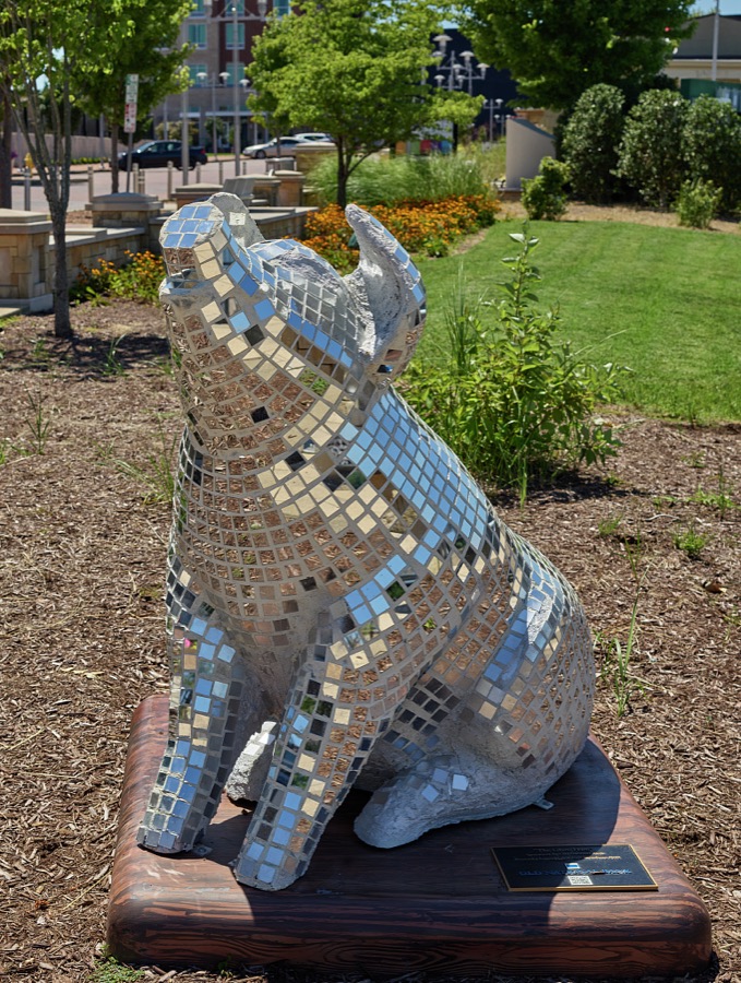
One of several "oink for Owensboro" memorials in the Ohio River city of Owensboro, Kentucky's fourth-largest city
Highsmith, Carol M, 2020. Library of Congress
Artist Austin Casebolt's wall-to-wall mural of a fortunate raptor and an unfortunate fish in the Ohio River city of Owensboro, Kentucky's fourth-largest city
Highsmith, Carol M, 2020. Library of Congress
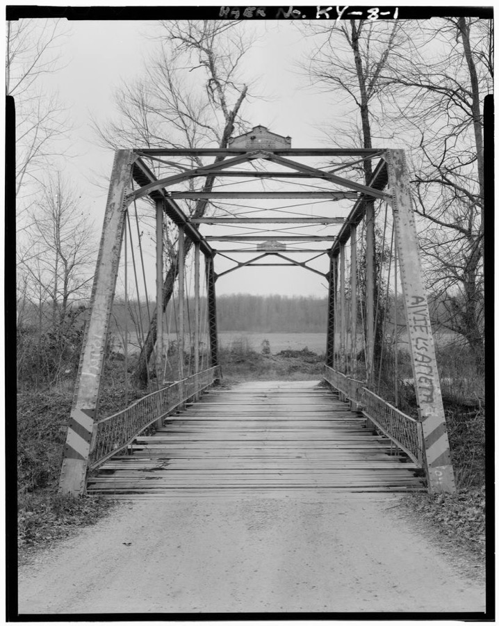
Kentucky Route 762 Bridge, Spanning South Fork of Panther Creek, Owensboro, Daviess County, KY
Photographer not recorded. Library of Congress
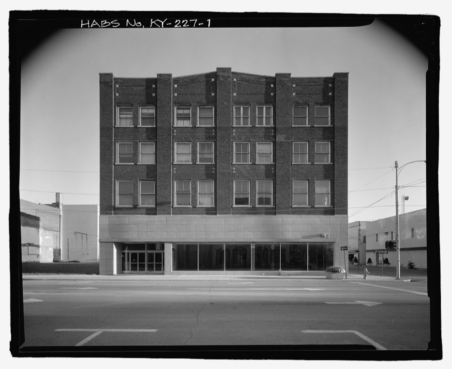
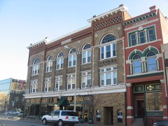
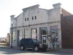
Rugby Building, 100 East Second Street, Owensboro, Daviess County, KY
Photographer not recorded. Library of Congress

Places on the National Register

38

Every property in this county listed on the National Register of Historic Places, with the year it was listed and the federal nomination document.

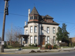
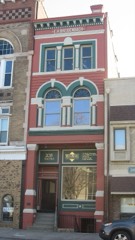
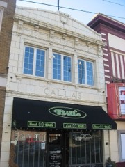
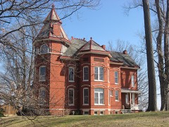
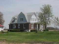
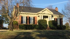
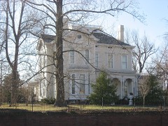
Photograph PropertyType ListedReference
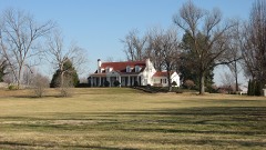
Alexander-Ford Farmhousebuilding2025100012240
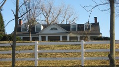
D. D. Bogard Housebuilding198080001503
Breidenbach Buildingbuilding198686000660
Callas Sweet Shopbuilding198686000661
Carnegie Free Public Library (DAOB 41)building198686002234
Le Vega Clements Housebuilding198686000663
Confederate Monument in Owensboroobject199797000708
Howell J. Davis Housebuilding199090001168
Doctors' Row Historic Districtdistrict198686000662
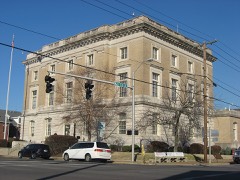
Federal Building and US Post Office-Owensborobuilding198989000295
Gillim Housebuilding198686000664
Felix Grimes Housebuilding197575000746
Haphazardbuilding197575000747
Kentucky Buggy Company Buildingbuilding201515000649
Thomas Krahwinkel Housebuilding201313000556
McKay-Thornberry Housebuilding198484001408
Medley Housebuilding198080001504
George and Sons Mischel Buildingbuilding198686000756
Monarch-Payne Housebuilding198686000757
J. Z. Moore Historic Districtdistrict198686000659
Moorman Housebuilding199292000140
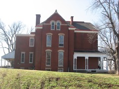
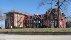
Mount St. Joseph Academybuilding197979000970
Odd Fellows Buildingbuilding198686000758
Owensboro Armorybuilding200202000919
Owensboro Historic Commercial Districtdistrict198383002626
Owensboro Historic Downtown Commercial Districtdistrict200504001251
Phillip's Court Districtdistrict198686000658
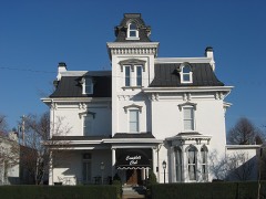
Camden Riley Housebuilding198686000760
Maj. Hampden Smith Housebuilding197676000865
St. Joseph Churchbuilding198383003651
James L. Stinnett Housebuilding2019100004830
James J. Sweeney Housebuilding198080001505
Temple Adath Israelbuilding198686000761
Thompson and Powell Martyrs Monumentobject199797000707
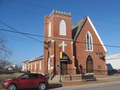
Trinity Episcopal Churchbuilding197272000530
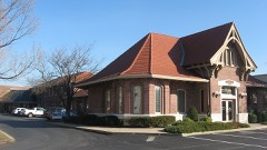
Union Stationbuilding197979000969
Willow Hillbuilding198282004621
Yewell Housebuilding198686000762

Photographs from libraries nationwide

3 of 5 shown

Selected from the Digital Public Library of America's 5 image records catalogued for this county. Every one shown here carries a public-domain status or a licence that permits reuse on a site that carries advertising; non-commercial, share-alike and restricted images are excluded. The selection is spread across the county's towns (at most eight per town), so no single institution's bulk upload crowds out the rest. Each opens the holding library's record, and the complete set at the Digital Public Library of America is one click away.

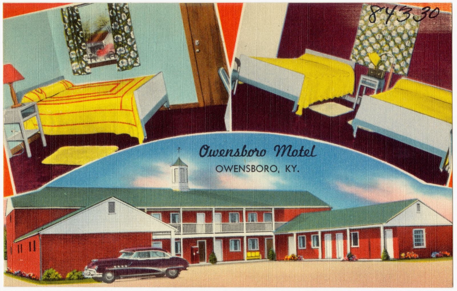
Owensboro Motel, Owensboro, KY., Boston Public Library - undated
Owensboro Motel, Owensboro, KY.. Boston Public Library, via the Digital Public Library of America.
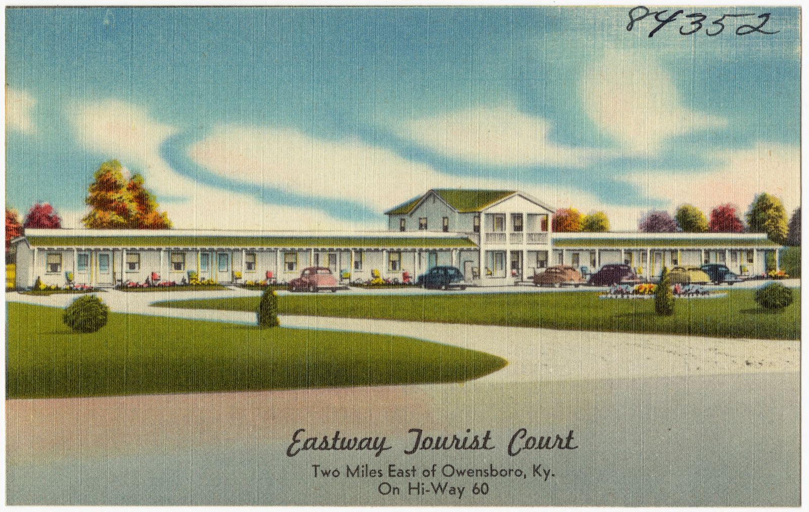
Eastway Tourist Court, two miles east of Owensboro, Ky. On Hi-Way 60, Boston Public Library - undated
Eastway Tourist Court, two miles east of Owensboro, Ky. On Hi-Way 60. Boston Public Library, via the Digital Public Library of America.
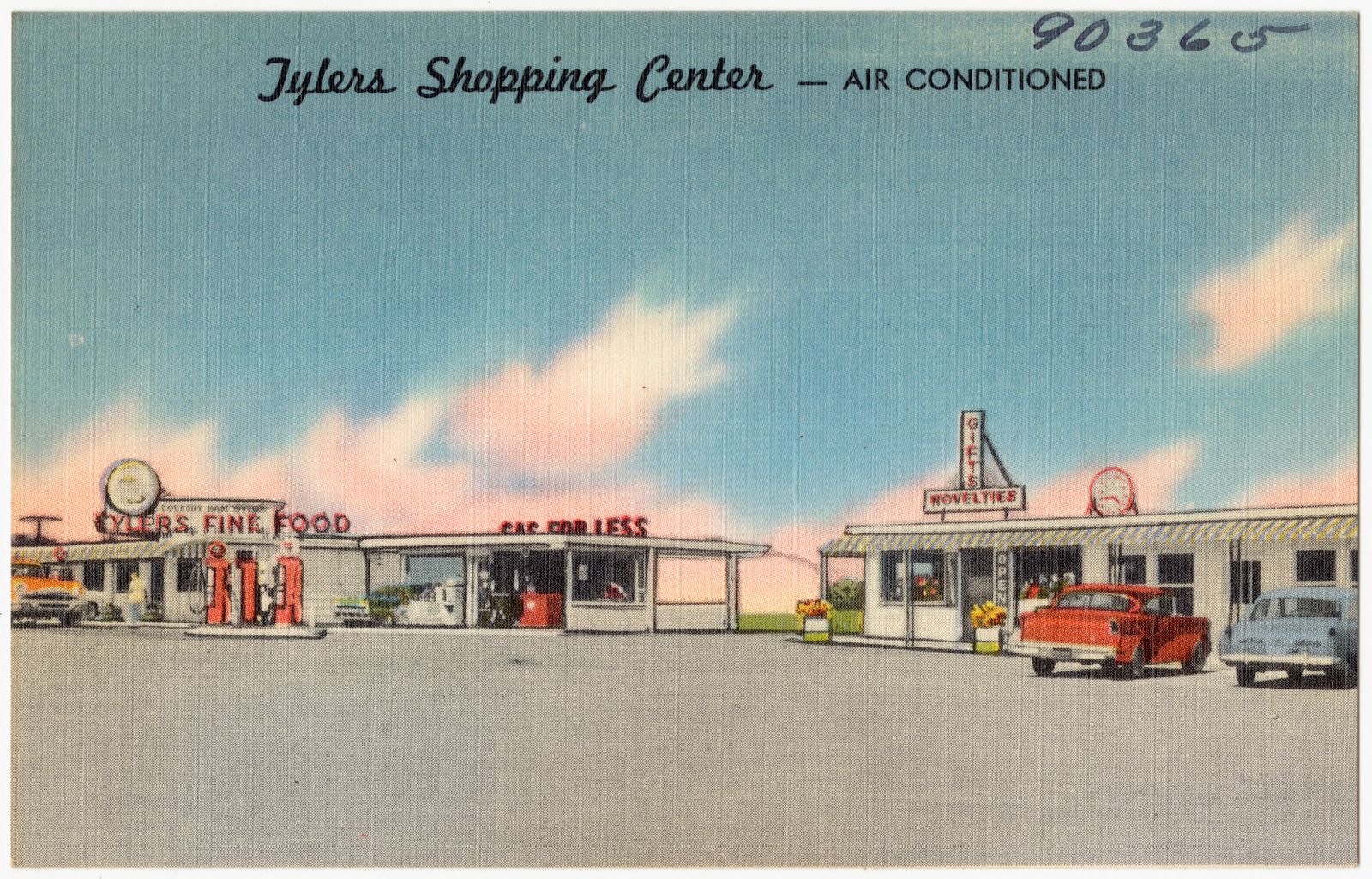
Tylers Shopping Center is located on U. S. 231 4 miles north of Owensboro, Ky., Boston Public Library - undated
Tylers Shopping Center is located on U. S. 231 4 miles north of Owensboro, Ky.. Boston Public Library, via the Digital Public Library of America.

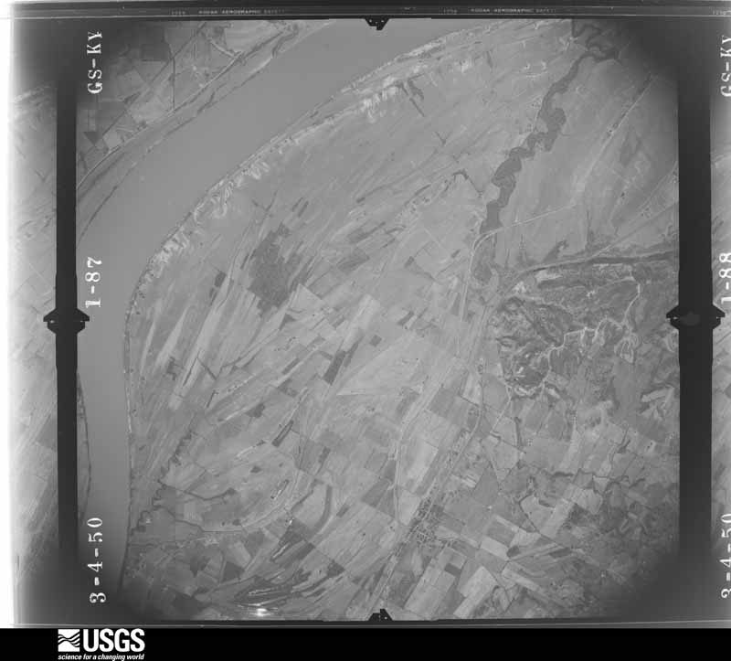
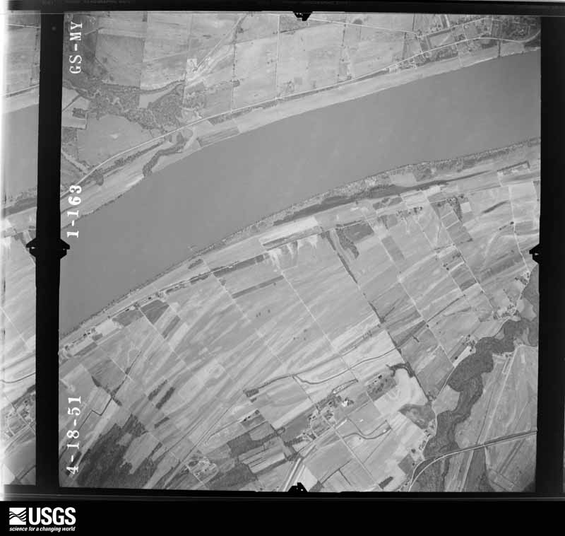
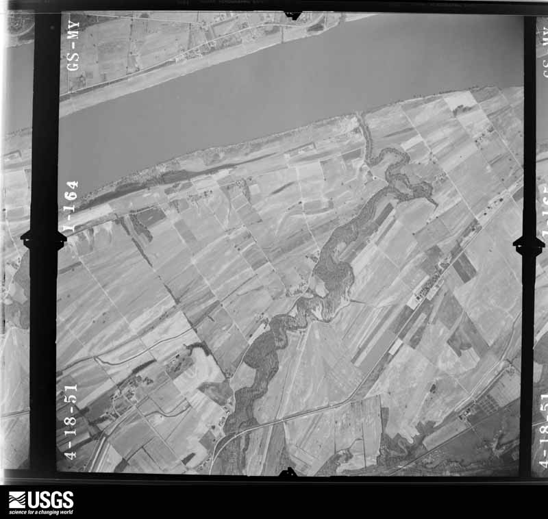
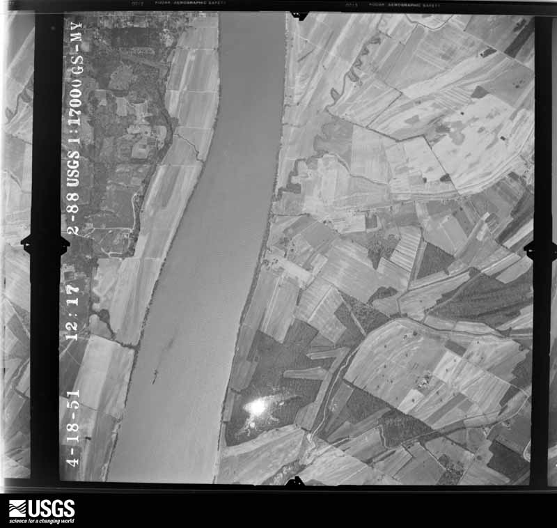
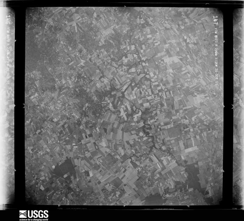
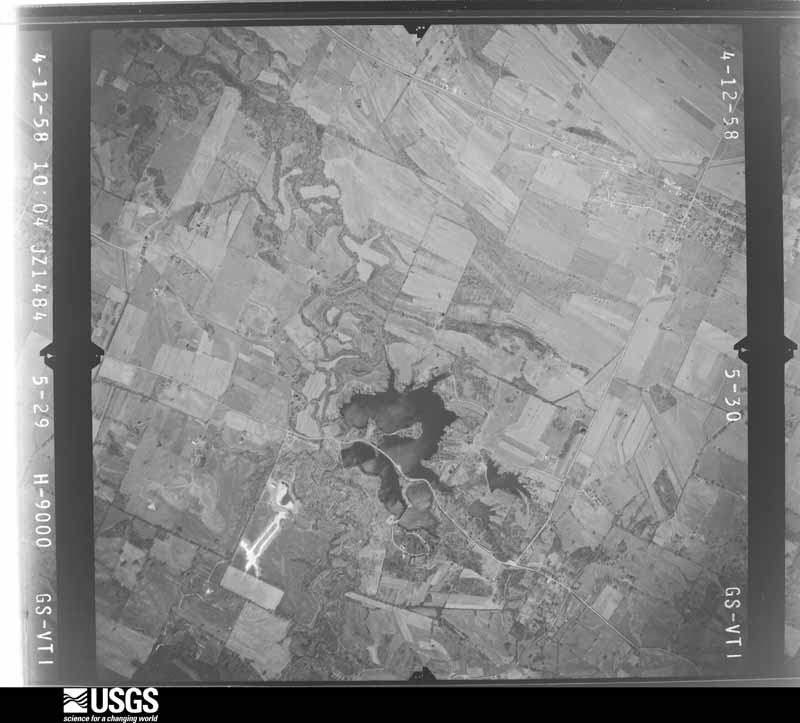
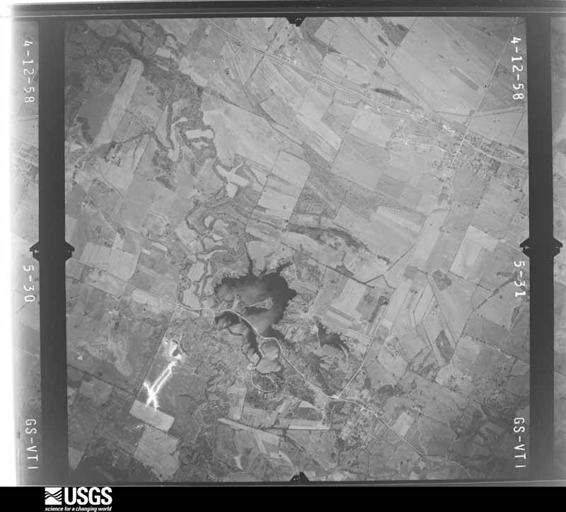
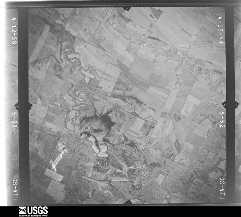
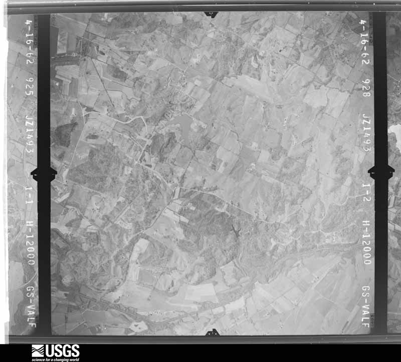
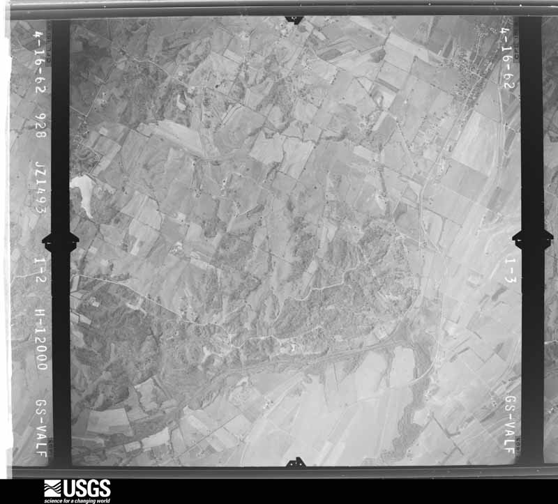
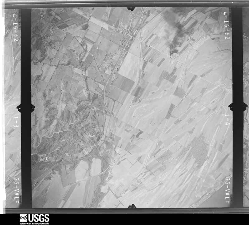
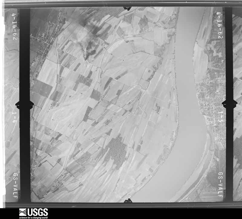
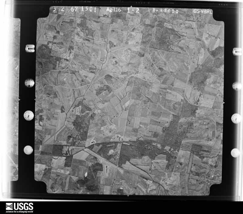
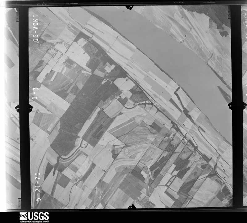
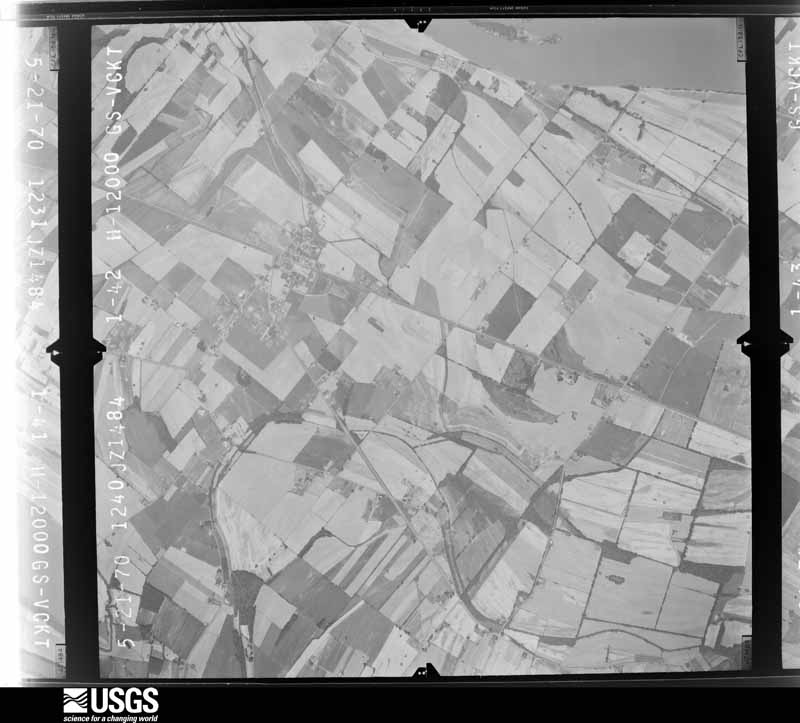
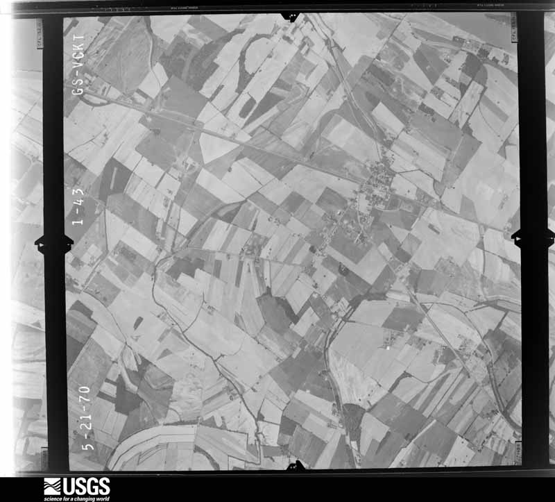
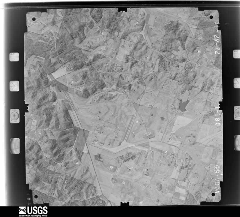
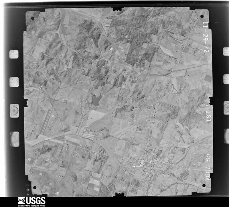
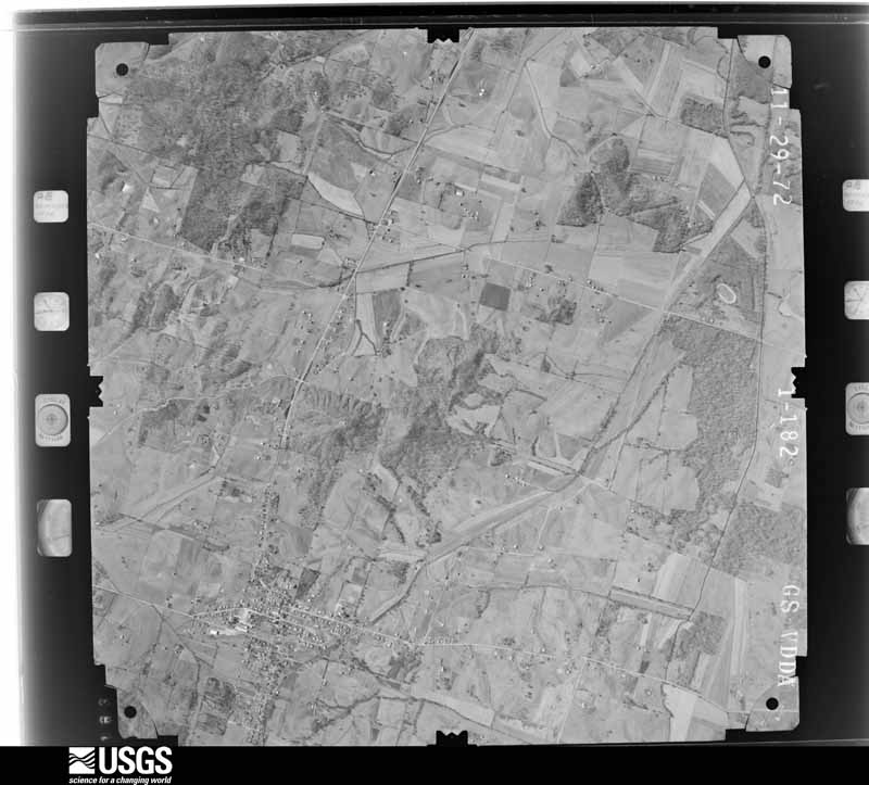
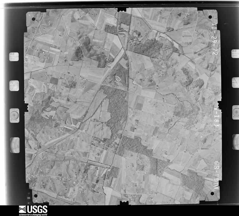
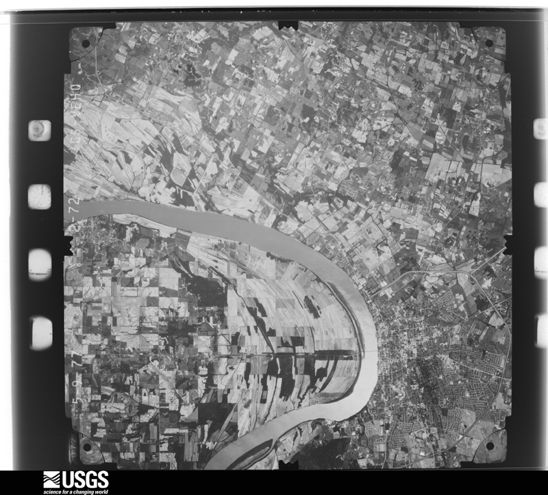
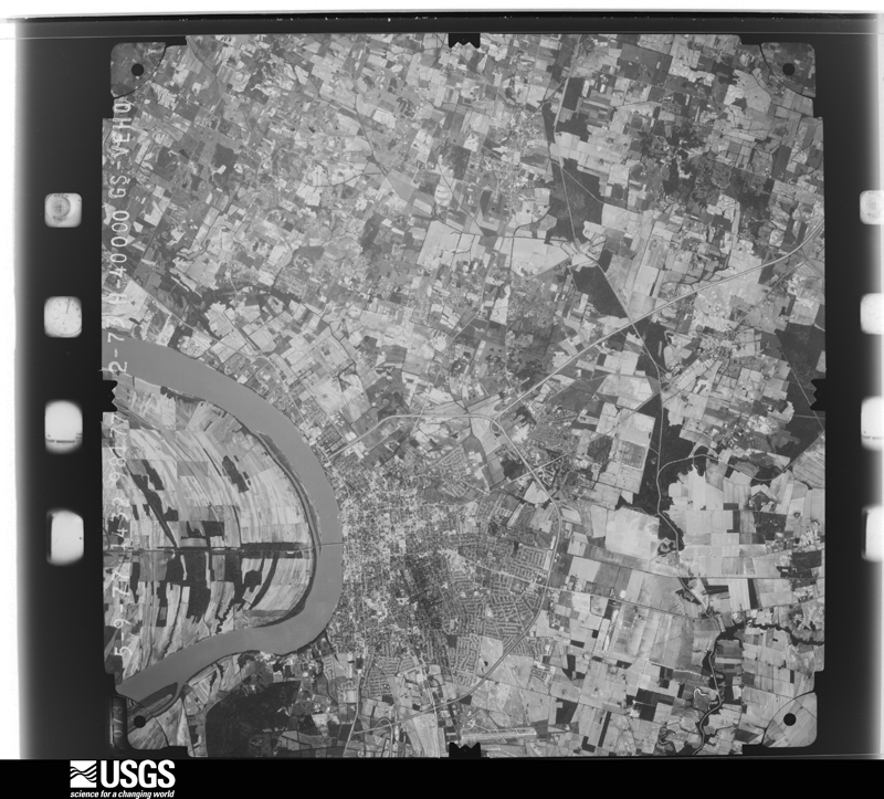
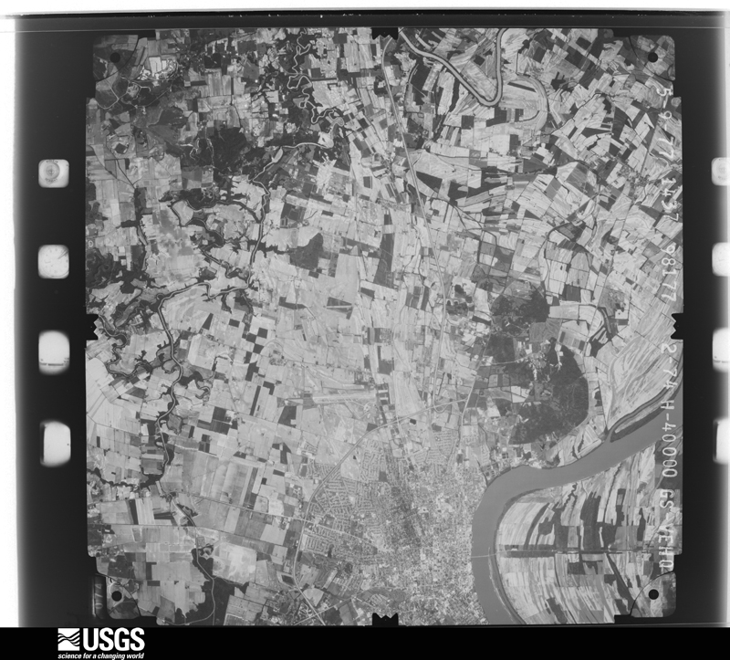
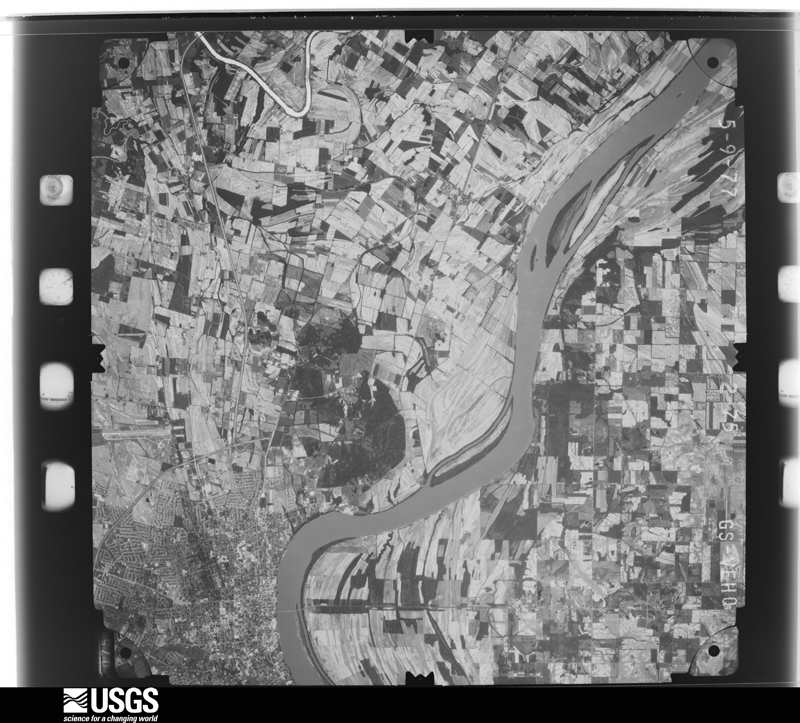
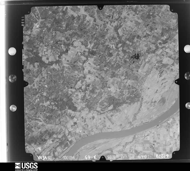
The county from the air

44 shown

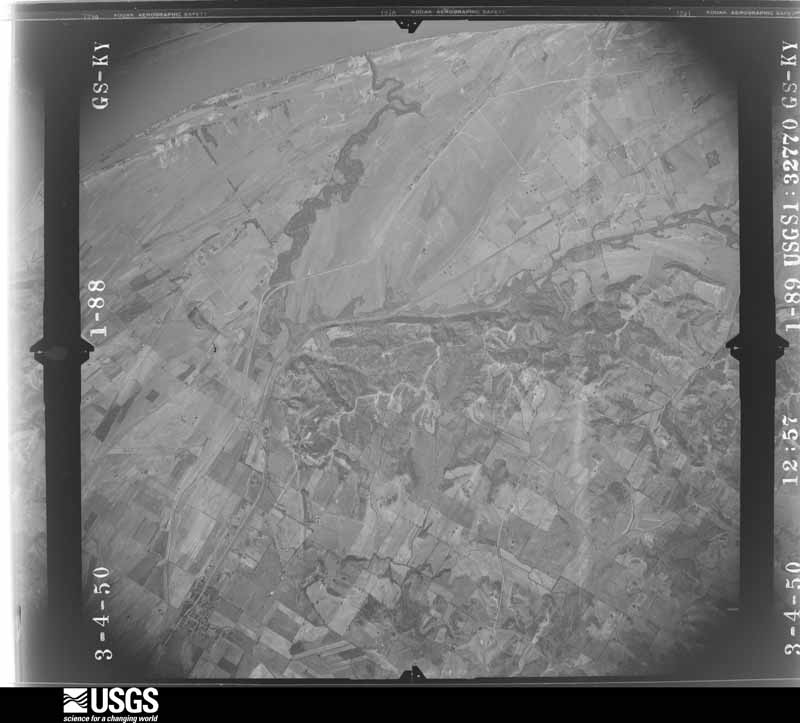
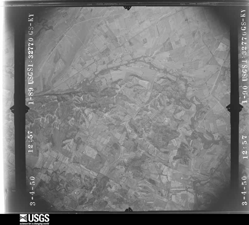
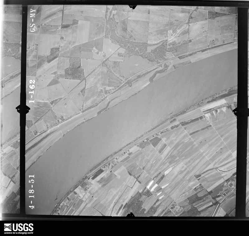
Flown by the U.S. Geological Survey between 1937 and 1989, the Aerial Photo Single Frames collection is the definitive mid-century view of the land: fields, roads and rivers as the camera saw them. The Survey holds 1,221 frames inside the rectangle that bounds this county; the 44 frames below were taken over the county itself, chosen across the decades of flights (at most four a year from that rectangle), so one flight cannot crowd out the rest. The full set is free to browse and download at EarthExplorer under the dataset Aerial Photo Single Frames.

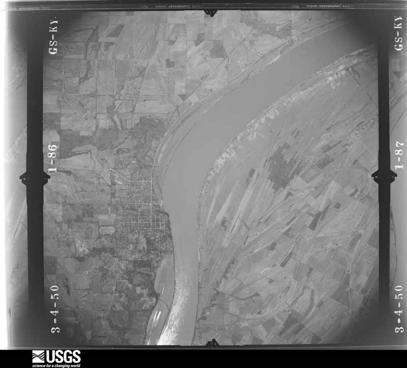
U.S. Geological Survey aerial photograph, 1950-04-01, scale 1:32770
1950-04-01, scale 1:32770. U.S. Geological Survey aerial photograph.
U.S. Geological Survey aerial photograph, 1950-04-01, scale 1:32770
1950-04-01, scale 1:32770. U.S. Geological Survey aerial photograph.
U.S. Geological Survey aerial photograph, 1950-04-01, scale 1:32770
1950-04-01, scale 1:32770. U.S. Geological Survey aerial photograph.
U.S. Geological Survey aerial photograph, 1950-04-01, scale 1:32770
1950-04-01, scale 1:32770. U.S. Geological Survey aerial photograph.
U.S. Geological Survey aerial photograph, 1951-04-23, scale 1:17000
1951-04-23, scale 1:17000. U.S. Geological Survey aerial photograph.
U.S. Geological Survey aerial photograph, 1951-04-23, scale 1:17000
1951-04-23, scale 1:17000. U.S. Geological Survey aerial photograph.
U.S. Geological Survey aerial photograph, 1951-04-23, scale 1:17000
1951-04-23, scale 1:17000. U.S. Geological Survey aerial photograph.
U.S. Geological Survey aerial photograph, 1951-04-23, scale 1:17000
1951-04-23, scale 1:17000. U.S. Geological Survey aerial photograph.
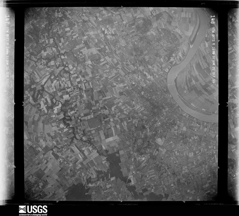
U.S. Geological Survey aerial photograph, 1955-10-22, scale 1:86903
1955-10-22, scale 1:86903. U.S. Geological Survey aerial photograph.
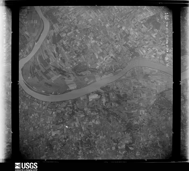
U.S. Geological Survey aerial photograph, 1955-10-22, scale 1:86903
1955-10-22, scale 1:86903. U.S. Geological Survey aerial photograph.
U.S. Geological Survey aerial photograph, 1955-10-22, scale 1:86903
1955-10-22, scale 1:86903. U.S. Geological Survey aerial photograph.
U.S. Geological Survey aerial photograph, 1955-10-22, scale 1:87628
1955-10-22, scale 1:87628. U.S. Geological Survey aerial photograph.
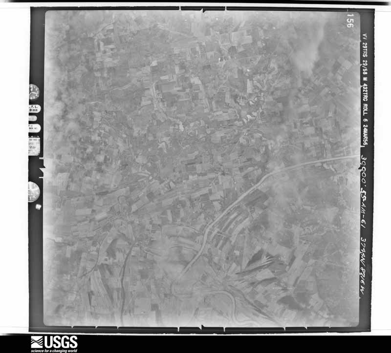
U.S. Geological Survey aerial photograph, 1956-03-24, scale 1:60000
1956-03-24, scale 1:60000. U.S. Geological Survey aerial photograph.
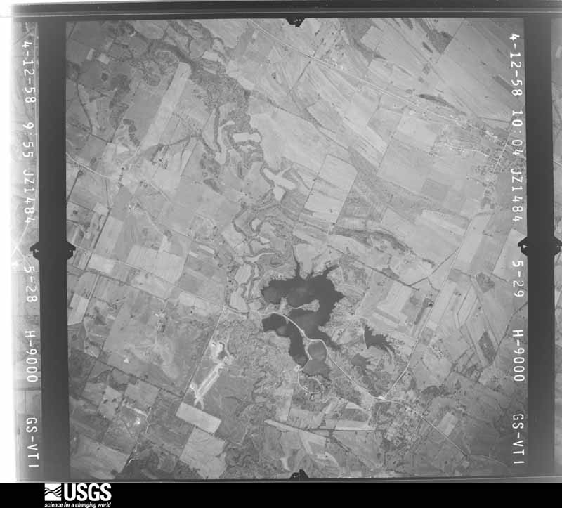
U.S. Geological Survey aerial photograph, 1958-04-12, scale 1:18000
1958-04-12, scale 1:18000. U.S. Geological Survey aerial photograph.
U.S. Geological Survey aerial photograph, 1958-04-12, scale 1:18000
1958-04-12, scale 1:18000. U.S. Geological Survey aerial photograph.
U.S. Geological Survey aerial photograph, 1958-04-12, scale 1:18000
1958-04-12, scale 1:18000. U.S. Geological Survey aerial photograph.
U.S. Geological Survey aerial photograph, 1958-04-12, scale 1:18000
1958-04-12, scale 1:18000. U.S. Geological Survey aerial photograph.
U.S. Geological Survey aerial photograph, 1962-04-16, scale 1:24000
1962-04-16, scale 1:24000. U.S. Geological Survey aerial photograph.
U.S. Geological Survey aerial photograph, 1962-04-16, scale 1:24000
1962-04-16, scale 1:24000. U.S. Geological Survey aerial photograph.
U.S. Geological Survey aerial photograph, 1962-04-16, scale 1:24000
1962-04-16, scale 1:24000. U.S. Geological Survey aerial photograph.
U.S. Geological Survey aerial photograph, 1962-04-16, scale 1:24000
1962-04-16, scale 1:24000. U.S. Geological Survey aerial photograph.
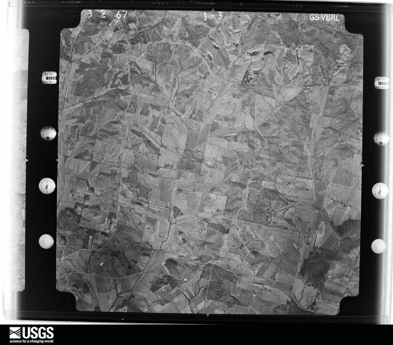
U.S. Geological Survey aerial photograph, 1967-03-02, scale 1:24000
1967-03-02, scale 1:24000. U.S. Geological Survey aerial photograph.
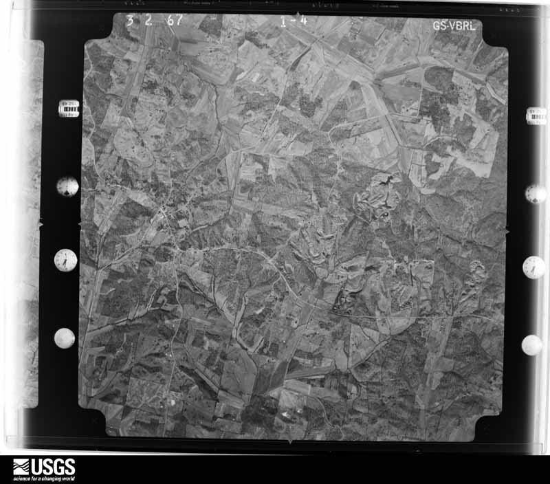
U.S. Geological Survey aerial photograph, 1967-03-02, scale 1:24000
1967-03-02, scale 1:24000. U.S. Geological Survey aerial photograph.
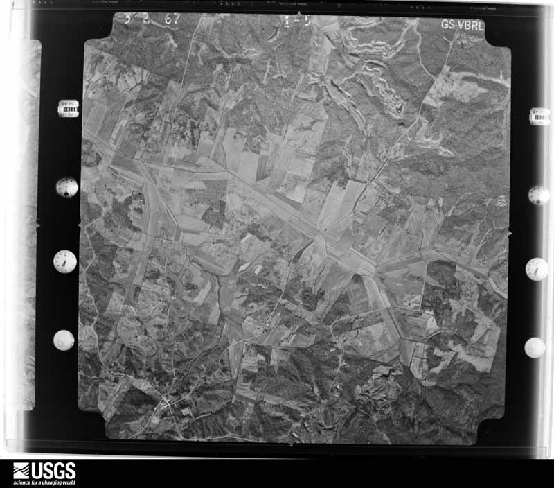
U.S. Geological Survey aerial photograph, 1967-03-02, scale 1:24000
1967-03-02, scale 1:24000. U.S. Geological Survey aerial photograph.
U.S. Geological Survey aerial photograph, 1967-03-02, scale 1:24000
1967-03-02, scale 1:24000. U.S. Geological Survey aerial photograph.
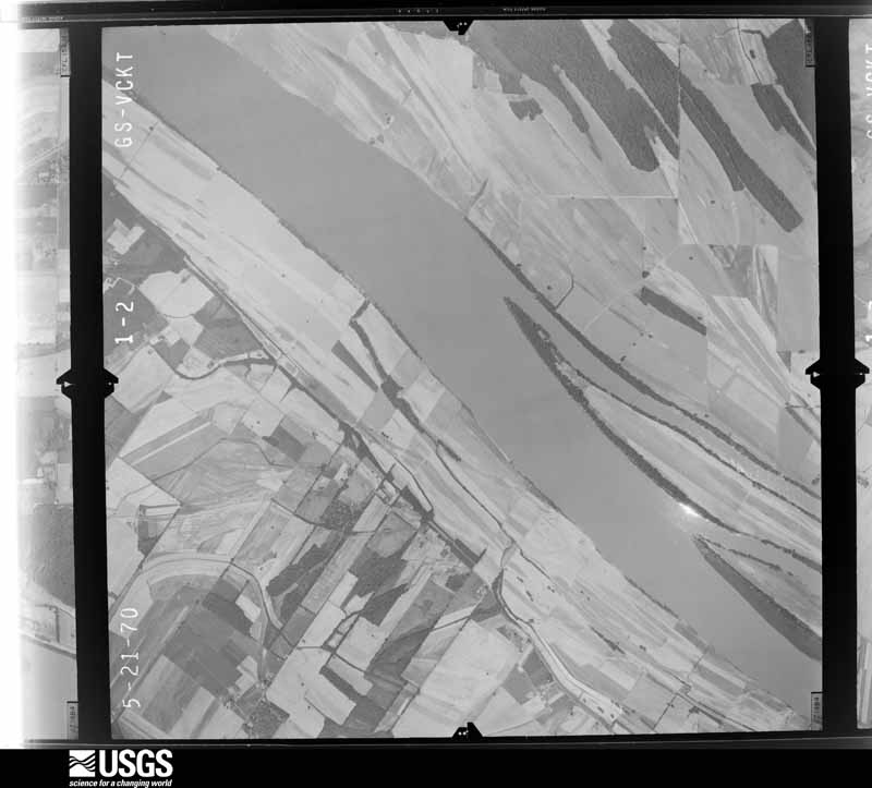
U.S. Geological Survey aerial photograph, 1970-05-21, scale 1:24000
1970-05-21, scale 1:24000. U.S. Geological Survey aerial photograph.
U.S. Geological Survey aerial photograph, 1970-05-21, scale 1:24000
1970-05-21, scale 1:24000. U.S. Geological Survey aerial photograph.
U.S. Geological Survey aerial photograph, 1970-05-21, scale 1:24000
1970-05-21, scale 1:24000. U.S. Geological Survey aerial photograph.
U.S. Geological Survey aerial photograph, 1970-05-21, scale 1:24000
1970-05-21, scale 1:24000. U.S. Geological Survey aerial photograph.
U.S. Geological Survey aerial photograph, 1971-05-14, scale 1:120198
1971-05-14, scale 1:120198. U.S. Geological Survey aerial photograph.
U.S. Geological Survey aerial photograph, 1971-06-30, scale 1:120747
1971-06-30, scale 1:120747. U.S. Geological Survey aerial photograph.
U.S. Geological Survey aerial photograph, 1971-07-02, scale 1:119910
1971-07-02, scale 1:119910. U.S. Geological Survey aerial photograph.
U.S. Geological Survey aerial photograph, 1971-07-12, scale 1:121638
1971-07-12, scale 1:121638. U.S. Geological Survey aerial photograph.
U.S. Geological Survey aerial photograph, 1972-11-29, scale 1:24000
1972-11-29, scale 1:24000. U.S. Geological Survey aerial photograph.
U.S. Geological Survey aerial photograph, 1972-11-29, scale 1:24000
1972-11-29, scale 1:24000. U.S. Geological Survey aerial photograph.
U.S. Geological Survey aerial photograph, 1972-11-29, scale 1:24000
1972-11-29, scale 1:24000. U.S. Geological Survey aerial photograph.
U.S. Geological Survey aerial photograph, 1972-11-29, scale 1:24000
1972-11-29, scale 1:24000. U.S. Geological Survey aerial photograph.
U.S. Geological Survey aerial photograph, 1973-01-24, scale 1:131000
1973-01-24, scale 1:131000. U.S. Geological Survey aerial photograph.
U.S. Geological Survey aerial photograph, 1973-01-24, scale 1:128000
1973-01-24, scale 1:128000. U.S. Geological Survey aerial photograph.
U.S. Geological Survey aerial photograph, 1977-05-01, scale 1:80000
1977-05-01, scale 1:80000. U.S. Geological Survey aerial photograph.
U.S. Geological Survey aerial photograph, 1977-05-01, scale 1:80000
1977-05-01, scale 1:80000. U.S. Geological Survey aerial photograph.
U.S. Geological Survey aerial photograph, 1977-05-01, scale 1:80000
1977-05-01, scale 1:80000. U.S. Geological Survey aerial photograph.
U.S. Geological Survey aerial photograph, 1977-05-01, scale 1:80000
1977-05-01, scale 1:80000. U.S. Geological Survey aerial photograph.
U.S. Geological Survey aerial photograph, 1978-04-01, scale 1:80000
1978-04-01, scale 1:80000. U.S. Geological Survey aerial photograph.

Weather records

33 stations, 2 gages

The thermometers that kept this county's weather, and the gages that measured the flow of its streams, as the federal records hold them. The extremes below are measured values from those records, not estimates.

The 1950 census, district by district

74 districts

Who lived here in 1950, one enumeration district at a time, as the Census Bureau described each district. Each row opens its official National Archives result, with Population Schedules and ED Maps available there.

  • 30-1Magisterial District 1, coextensive with Owensboro city: Owensboro city - That part Bounded by City limits; City limits; Monarch Ave.; Wing Ave., 4th, Pearl
  • 30-2Owensboro city - That part Bounded by 4th, Wing Ave. , Monarch Ave.; City limits; City limits, Louisiana and Nashville Railroad; Leitchfield Rd., 5th, Center
  • 30-3Owensboro city - That part Bounded by 3rd; Pearl, 4th, Center; 5th; Daviess
  • 30-4Owensboro city - That part Bounded by City limits; Pearl; 3rd; Daviess
  • 30-5Owensboro city - That part excluding New Rudd Hotel and Owensboro Hotel Bounded by City limits; Daviess; 5th; Frederica
  • 30-6New Rudd Hotel (In Owensboro city)
  • 30-7Owensboro Hotel (In Owensboro city)
  • 30-8Owensboro city - That part Bounded by City limits; Frederica; 5th; Cedar
  • 30-9Owensboro city - That part Bounded by City limits; Cedar; 5th; Elm
  • 30-10Owensboro city - That part Bounded by City limits; Elm; 5th; Maple
  • 30-11Owensboro city - That part Bounded by City limits; Maple; 5th; Frayser Ave., 2nd, Orchard
  • 30-12Owensboro city - That part Bounded by City limits; Orchard, 2nd, Frayser Ave.; 5th; Castlen, Hanning Lane
  • 30-13Owensboro city - That part Bounded by City limits; Hanning Lane, Castlen 5th; Hale Ave., 2nd, River Rd., City limits
  • 30-14Owensboro city - That part Bounded by 2nd; Hale Ave.; 5th; Lucas Ave.
  • 30-15Owensboro city - That part Bounded by City limits; River Rd., 2nd, Lucas Ave.; 5th; City limits
  • 30-16Owensboro city - That part Bounded by 5th; Crook, 8th, McGill; McClarty Ave., Crabtree Ave., 9th; City limits
  • 30-17Owensboro city - That part Bounded by 9th, Crabtree Ave., McClarty Ave.; McGill, McFarland, Werner Ave.; Parrish Ave., City limits; City limits
  • 30-18Owensboro city - That part Bounded by 5th; Plum, 9th, Moreland Ave.; 11th, Audubon Ave., McFarland; McGill, 8th, Crook
  • 30-19Owensboro city - That part Bounded by McFarland, Audubon Ave., 11th; Moreland Ave.; Parrish Ave.; Werner Ave.
  • 30-20Owensboro city - That part Bounded by 5th; Cedar; 7th; Plum
  • 30-21Owensboro city - That part Bounded by 7th; Cedar; 9th; Plum
  • 30-22Owensboro city - That part Bounded by 9th; Walnut, 11th, Elm; Parrish Ave.; Moreland Ave.
  • 30-23Owensboro city - That part Bounded by 9th; Frederica; Parrish Ave.; Elm, 11th, Walnut
  • 30-24Owensboro city - That part Bounded by 5th; Frederica; 9th; Cedar
  • 30-25Owensboro city - That part excluding St. Francis Academy Bounded by 5th; Daviess; 9th; Frederica
  • 30-26St. Francis Academy (In Owensboro city)
  • 30-27Owensboro city - That part Bounded by 5th; Clay; 9th; Daviess
  • 30-28Owensboro city - That part Bounded by 5th; Center; 9th; Clay
  • 30-29Owensboro city - That part Bounded by 5th; Breckenridge; 9th; Center
  • 30-30Owensboro city - That part Bounded by 5th; Leitchfield Rd.; 9th; Breckenridge
  • 30-31Owensboro city - That part Bounded by Lousiana and Nashville Railroad; City limits; 18th; Bluff Ave., Johnson Ave., Leitchfield Rd.
  • 30-32Owensboro city - That part Bounded by 9th; Leitchfield Rd., Johnson Ave., Bluff Ave.; 18th; Jackson, Johnson Ave., Jackson
  • 30-33Owensboro city - That part Bounded by 15th; Jackson; 18th; Triplett
  • 30-34Owensboro city - That part Bounded by 12th, Breckenridge, 12th, Jackson, Johnson Ave.; Jackson; 15th; Triplett
  • 30-35Owensboro city - That part Bounded by 9th; Jackson; 12th, Breckenridge, 12th; Triplett
  • 30-36Owensboro city - That part Bounded by 9th; Triplett; 12th, Lewis, 12th; Frederica
  • 30-37Owensboro city - That part Bounded by 12th, Lewis, 12th; Triplett; 16th, Lewis, 14th; Frederica
  • 30-38Owensboro city - That part Bounded by 14th, Lewis, 16th; Triplett; 18th; Frederica
  • 30-39Owensboro city - That part excluding county area situated entirely in this Enumeration District Bounded by Parrish Ave.; Frederica; Ford Ave., , Lexington Ave., Griffith Ave.; City limits
  • 30-40Owensboro city - That part Bounded by Griffith Ave., Lexington Ave., Ford Ave.; Frederica; City limits; City limits
  • 30-41Owensboro city - That part including Legion Park Bounded by 18th; Lewis; City limits; Frederica
  • 30-42Owensboro city - That part Bounded by 21st; Triplett, City limits; City limits; Lewis
  • 30-43Owensboro city - That part Bounded by 18th; Hall; City limits, Triplett, 21st; Lewis
  • 30-44Owensboro city - That part Bounded by 18th; City limits; City limits; Hall
  • 30-45Magisterial District 2, Lower Town: Magisterial District 2, Lower Town - That part north of state Hwy. 54, including Little Hurricane Island and all other islands in this enumeration district
  • 30-46Magisterial District 2, Lower Town - That part west of State Hwy. 81 and south of State Hwy. 54
  • 30-47Magisterial District 2, Lower Town - That part east of State Hwy. 81 and south of State Hwy. 54, including that part of Daviess County situated entirely within the coporate limits of Owensboro city
  • 30-48Magisterial District 3, Sorgho: Magisterial District 3, Sorgho - That part northeast of U.S. Hwy. 60, including French Island
  • 30-49Magisterial District 3, Sorgho - That part southwest of U.S. Hwy. 16 and north of Hurricane Slough and Birk - Owensboro Rd.
  • 30-50Magisterial District 3, Sorgho - That part south of Hurricane Slough and Birk - Owensboro Rd. and north and west of State Hwy. 56
  • 30-51Magisterial District 3, Sorgho - That part southeast of State Hwy. 56
  • 30-52Magisterial District 4, West Louisville: Magisterial District 4, West Louisville - That part east of Knoblick Creek and northeast of State Hwy. 56
  • 30-53Magisterial District 4, West Louisville - That part west of Knoblick Creek and north of State Hwy. 258
  • 30-54Magisterial District 4, West Louisville - That part south of State Hwys. 258 and 56, excluding Mt. St. Joseph's Motherhouse and Convent of the Ursuline Sisters of the Congregation of Paris
  • 30-55Mt. St. Joseph's Motherhouse and Convent of the Ursuline Sisters of the Congregation of Paris (In Magisterial District 4, West Louisville)
  • 30-56Magisterial District 5, Vanover: Magisterial District 5, Vanover - That part east of State Hwy. 75, north of Utica - Andersonville Rd. to State Hwy. 71 and east of State Hwy. 71
  • 30-57Magisterial District 5, Vanover - That part east of State Hwy. 75, south of Utica - Andersonville Rd. to State Hwy. 71 and west of State Hwy. 71
  • 30-58Magisterial District 5, Vanover - That part west of State Hwy. 75 and east of Rhodes Creek and State Hwy. 140
  • 30-59Magisterial District 5, Vanover - That part west of Rhodes Creek and State Hwy. 140 and east of State Hwy. 81
  • 30-60Magisterial District 5, Vanover - That part west of State Hwy. 81
  • 30-61Magisterial District 6, Whitesville: Whitesville town
  • 30-62Magisterial District 6, Whitesville - That part east of unnamed road, north from Magisterial District line to Boston, south of State Hwy. 54 and east of Owens - Boston Rd., outside Whitesville town
  • 30-63Magisterial District 6. Whitesville - That part west of unnamed Rd. north from Magisterial District line to Boston Rd. to north of State Hwy. 54 and west of Owens - Boston Rd. and east of State Hwy. 142 and U.S. Hwy. 71
  • 30-64Magisterial District 6, Whitesville - That part west of State Hwy. 142 and U.S. Hwy. 71
  • 30-65Magisterial District 7, Knottsville: Magisterial District 7, Knottsville - That part northwest of U.S. Hwy. 60 and including all islands in this enumeration district
  • 30-66Magisterial District 7, Knottsville - That part southeast of U.S. Hwy. 60 and north and west of Thurston - Yelvington Rd.
  • 30-67Magisterial District 7, Knottsville - That part southeast of Thurston - Yelvington Rd. and north of Spice Knob - Gatewood Rd. via Scythia
  • 30-68Magisterial District 7, Knottsville - That part south of Spice Knob - Gatewood Rd. via Scythia and north of State Hwy. 144 and northwest of Knottsville - Hawesville Rd. via Friendly School
  • 30-69Magisterial District 7, Knottsville - That part south of State Hwy. 144 and southeast of Knotteville - Hamesville Rd. via Friendly School
  • 30-70Magisterial District 8, Upper Town: Magisterial District 8, Upper Town - That part northwest of U.S. Hwy. 60 and north of State Hwy. 144, including Yellow Bank Island, Pup Creek Bar and all other islands in this enumeration district
  • 30-71Magisterial District 8, Upper Town - That part southeast of U.S. Hwy. 60 and State Hwy. 144, northwest of Dermont - Spice Knob Rd. and north of State Hwy. 54
  • 30-72Magisterial District 8, Upper Town - That part south of State Hwy. 144, east of Dermont - Spice Knob Rd. and north of State Hwy. 54
  • 30-73Magisterial District 8, Upper Town - That part southwest of State Hwy. 54 and northeast of State Hwy. 71
  • 30-74Magisterial District 8, Upper Town - That part southwest of State Hwy. 71

Wildfire, 1999 to 2017

39 fires

Every wildfire the federal occurrence database records inside this county: 39 of them, burning about 197 acres. None started naturally and none was recorded as arson. Each settlement page carries the fires within five miles of it.

Reported cause Fires
Debris and open burning13
Missing data/not specified/undetermined13
Recreation and ceremony11
Railroad operations and maintenance1
Equipment and vehicle use1

The five largest, by the area the report gives. None of them was recorded as arson.

DateCause SizeReported by Name on the report
24 February 2017Missing data/not specified/undetermined35 acresKentucky Division of ForestrySHAFER CAMP
10 March 2001Debris and open burning23 acresKentucky Division of Forestrynot named
15 April 2006Missing data/not specified/undetermined15 acresKentucky Division of Forestrynot named
30 March 1999Equipment and vehicle use12 acresKentucky Division of Forestrynot named
23 January 2009Recreation and ceremony10 acresKentucky Division of Forestrynot named
16 September 2008Recreation and ceremony10 acresKentucky Division of Forestrynot named
7 March 2000Debris and open burning8.0 acresKentucky Division of Forestrynot named
11 March 2010Recreation and ceremony8.0 acresKentucky Division of Forestrynot named

Every settlement page carries the fires within five miles of it - see the settlement index below.

Storms, 1952 to 2025

60 of 554 shown

The NOAA Storm Events Database holds 554 reports for this county, causing 1 death, 42 injuries and about $96,214,530 in recorded property damage. Each settlement page carries the reports that name it.

Kind of event Reports
Thunderstorm Wind206
Hail146
Flood54
Flash Flood51
Tornado31
Heavy Rain29
Funnel Cloud25
Lightning12

The most serious of them, by death, then injury, then recorded damage. The accounts are quoted exactly as the forecast office filed them.

WhenEvent Place namedHarm What the report says
July 2015Flash FloodMoseleyville1 killed, $20,000A series of thunderstorms produced rainfall rates estimated by radar up to three inches in two hours. A car was swept off Highway 140 West by rapidly flowing floodwater. The vehicle was found about two hours later, submerged in a deep ditch with rapidly flowing water. The driver was pronounced dead at the scene. Just prior to the fatality, the fire department had assisted another vehicle stranded in floodwaters in the same vicinity. In other parts of Daviess County, sections of U.S. Highway 431 and Kentucky Highway 81 were closed due to high water.
January 2000Tornado (F3)Rome18 hurt, $64,000,000The tornado first touched down near the community of Rome, just southwest of Owensboro, and entered the city near the southern boundary of Owensboro Airport. The tornado tracked northeast through the heart of Owensboro before dissipating on the east side of town. Peak winds were estimated at 180 MPH. Since the tornado path was mostly through densely populated residential and commercial areas, damage was in the tens of millions, but injuries were surprisingly few. Of the 18 injuries, one was critical, and the rest were relatively minor. The critically injured person was in a home near the beginning of the damage path. This person sustained broken vertebrae and numerous cuts and bruises. Owensboro landmarks heavily damaged by the tornado included Apollo High School, Kentucky Wesleyan College, and the Winn-Dixie Store. Damage to the 12 buildings at Kentucky Wesleyan College was estimated to be near 5 million dollars. Small to mid size automobiles were tossed about by the wind. Damage to utility lines was extensive, and repairs took about 10 days to complete. Final damage tallies showed about 1200 homes and businesses sustained damage. Of those 1200 structures, 101 were totally destroyed and 573 sustained major damage. Owensboro was declared a federal disaster area. An emergency shelter accomodated roughly 150 persons, including many from local nursing homes. Owensboro schools were closed for a week.
October 2007Tornado (EF3)Owensboro8 hurt, $11,500,000About a dozen homes were destroyed, and close to 150 others were damaged. An additional 20 public or commercial buildings were destroyed or condemned. Damage to commercial and public buildings, including churches and schools, was estimated near 10.5 million dollars. Residential structures sustained about 1 million dollars in damage. Two historic churches suffered severe damage. The steeple of one church collapsed into the sanctuary. About 125 people were in the church at the time of the collapse, including 25 where the steeple fell into the sanctuary. They all moved to the basement 5 or 10 minutes before the storm hit, sparing anyone from death or serious injury. On the west side of Owensboro, a man was trapped in his overturned mobile home. He received only minor injuries. A motel was heavily damaged, with nearly the entire roof blown off. Several guests at the motel were treated for injuries, mostly abrasions from falling debris. Almost every building at Brescia University was damaged, mostly to the roofs. Windows were blown out of the science building. Elsewhere, a delivery truck was overturned. Piles of debris from collapsed garages, warehouses, and roofs lined downtown streets during the cleanup. Tobacco warehouses downtown were destroyed or heavily damaged. The most serious damage was in a 12 to 15 square block area in and near downtown. Nearly all city streets were reopened and nearly all power was restored within a few days after the tornado. Peak winds were estimated at 155 mph where the EF-3 damage occurred in downtown Owensboro. The damage path began just northeast of the Owensboro-Daviess County Airport, then curved northeast through the riverfront area of downtown Owensboro. The average path width was 300 yards.
October 2007Tornado (EF2)St Joseph4 hurt, $500,000The tornado crossed into Daviess County from Mclean County. Numerous structures were damaged or destroyed, mostly barns and outbuildings. Several residences were destroyed, and about two dozen others were damaged. Four persons were injured in the West Louisville area when their mobile home was destroyed. Their injuries were mostly minor, although a 4-year-old child was hospitalized in fair condition. The peak winds were estimated at 120 mph. The average path width was 300 yards.
December 1952Tornado (F3)not stated3 hurtno account filed
May 2003Tornado (F2)St Joseph2 hurt, $75,000A mobile home was destroyed, injuring two persons. A boy received a broken arm, and a girl suffered a broken back. Several barns and garages were blown down, and a garage was pushed off its foundation. One permanent home received minor damage.
October 2007Thunderstorm WindMasonville2 hurt, $20,000A tree was down on a mobile home. Two other trees were down in the same area, blocking roads. Two adults were briefly trapped in the mobile home. Both adults received minor injuries but refused medical treatment.
May 1990Thunderstorm Windnot stated2 hurtno account filed
May 1989Tornado (F2)not stated1 hurt, $250,000no account filed
January 2012Thunderstorm WindPanther1 hurt, $80,000A large section of roof was blown off a house. The roof was a flat roof with no anchors and a rather large overhang. Debris fell on one occupant of the house, who was treated at a local hospital for minor injuries such as scrapes and bruises. The house was damaged extensively. Nearby, three barns and a large tool shed were damaged or destroyed. Two of the barns were old wooden barns that were pushed and leaning over, but still on their foundations. The third barn was an old wooden barn that was destroyed. The tool shed was a steel-frame structure that was heavily damaged on one end. Beams were bent, and siding was torn off. Several small trees were uprooted along Highway 81, and one tree was snapped. Emergency responders could not reach the damaged house and injured person until debris was cleared from the road. All debris was blown toward the east-northeast. The damage swath was one-half to three-quarters of a mile wide.
June 1998Flash FloodOwensboro1 hurt, $5,000Very heavy rains from a severe thunderstorm filled drainage ditches. An 8-year-old boy was swept into a drainage ditch and rescued by firefighters. He was taken by ambulance to a local hospital.
May 2011FloodOwensboro$5,000,000Moderate flooding occurred on the Ohio River. At the Owensboro river gage, the river continued to fall after cresting at 46.30 feet in late April. A riverside park and parts of Water Street in Owensboro were flooded. At the peak of the flooding, Panther Creek flooded extensively due to backwater from the Ohio River, which forced some evacuations of residents in the Pettit area. Panther Creek covered parts of U.S. Highway 431 and surrounded a few major businesses such a home improvement store. Ohio River backwater worsened flooding of the Green River, flooding a house in Curdsville with a foot of water. The Red Cross opened a shelter. Countywide, 63 county roads and 18 state roads were closed at the peak of the flooding. About a dozen county roads were damaged. The damage consisted mostly of washed out shoulders and bridge approaches.
May 2004Thunderstorm WindCountywide$3,000,000no account filed
May 1982Tornado (F2)not stated$2,500,000no account filed
March 2025HailDoyle$2,000,000A severe storm produced a swath of hail up to the size of baseballs and wind gusts up to 50 mph from near St Joseph through the south and east sides of Owensboro. The area of Cummins Road just south of St Joseph sustained the most significant damage. Several homes sustained broken siding and windows, as well as roof damage. The storm continued to damage roofs and break windows as it passed near Panther Creek Park and through the south and east sides of Owensboro. Scores of vehicles sustained damage.
May 2016HailOwensboro$1,000,000A major hailstorm continued east-northeast across the Owensboro area from western Daviess County. The largest hail fell on the south and southwest sides of the city. Hailstones up to the size of hen eggs fell a couple miles southwest of downtown Owensboro. In Owensboro, there was a report of golf-ball size hail. On the east side of the city, quarter-size hail fell. Many homes and vehicles sustained minor damage.
July 1994Thunderstorm Windnot stated$500,000Strong winds downed numerous trees and power lines. The strong winds also blew down structural steel at a construction site.
May 2024Thunderstorm WindBirk City$250,000Widespread straight-line wind damage occurred in northern Daviess County through the city of Owensboro with several homes damaged, at least a couple dozen trees down, and power poles snapped.
May 2016HailWest Louisville$250,000A severe thunderstorm produced a wide swath of very large hail across western Daviess County. Hailstones the size of hen eggs were reported at West Louisville. The hail swath extended as far north as Sorgho, where half-dollar size hail fell. On the south side of the swath, golf ball size hail was reported on Highway 81 near Panther.
March 2008FloodStanley$250,000Major urban flooding occurred in Owensboro, where the city used all 65 of its high water signs. Water was up to three feet deep in some spots. Wakes caused by vehicles driving through floodwaters aggravated damage to businesses and residential property. County schools were closed. The Red Cross opened a shelter for any evacuees. Due to flooding around gas meters, utilities were turned off to homes on a couple of streets. A landslide occurred along U.S. Highway 60 near Stanley. The road was closed for repairs. Fifteen to 20 roads were under water in the county.
May 1989Tornado (F2)not stated$250,000no account filed
March 2016Thunderstorm WindMasonville$225,000A swath of wind damage 9 miles long and up to 3.5 miles wide was surveyed by a National Weather Service damage survey team. The swath began on the west side of U.S. Highway 231 near Masonville. This is the approximate area where the EF-1 tornado lifted from the same storm. A few utility poles were snapped along U.S. Highway 231. The damage swath continued east to the Whitesville area, where about a dozen more utility poles and trees were snapped. The heaviest damage was on the west side of Whitesville, where metal roof panels were blown off a metal manufacturing building on Highway 54. A small grain bin was blown about 150 feet. A barn and carport were destroyed, and a recreational vehicle about 30 feet long was overturned. A couple of greenhouses were heavily damaged. At least one of the downed trees and utility poles was blown across a roadway. Peak winds were estimated near 90 mph on the northwest side of Whitesville.
May 2019Thunderstorm WindSt Joseph$200,000A National Weather Service damage survey determined that a microburst with peak winds near 90 mph struck the St. Joseph and West Louisville area. The most significant structural damage occurred less than a mile north of St. Joseph, where a storage shed sustained extensive damage. The west-facing wall collapsed inward, despite the presence of hurricane straps. Roofing and roof trusses were blown to the east across County Road 500. A pull-behind covered trailer weighing over 2,000 pounds was pushed about 30 feet. At a house adjacent to the trailer and metal shed, there was partial loss of shingles, along with minor damage to windows, decking, and gutters. Some of the damage appeared to be associated with a short, brief gustnado. Elsewhere across the affected area, most of the damage consisted of scattered snapped and uprooted trees, some of which were several feet in diameter. Several old wooden barns were damaged or destroyed, and a few outbuildings were damaged. A mobile home was unroofed. Over 100 trees were down at a campground on Diamond Lake near West Louisville. A few of the trees landed on campers or vehicles. There were some downed power poles and lines. The total length of the damage area was three miles, and the width was about 2.2 miles.
April 2006Thunderstorm WindOwensboro$200,000Winds from 80 to 90 MPH raked the Owensboro area. Numerous trees were blown down, including one that landed on a trailer. A mobile home was flipped over about a mile north of Thruston on U.S. Highway 60E. Along U.S. Highway 60W, the roof was blown off a cable company and onto a roadway, blocking traffic. In Owensboro, lights were blown off utility poles, and numerous power lines were down. From several miles west of Owensboro to a couple miles east of the city, numerous power lines were downed, including one that landed on an occupied car on the U.S. 60 bypass. All four lanes of the U.S. 60 bypass were blocked by fallen transmission lines. Gas pumps were blown over at a station on Route 54 on the east side of the city.
March 2023Thunderstorm WindOwensboro$150,000Trees were down in Owensboro. Three miles west of Owensboro, a mobile home was lifted and moved about 4 to 5 feet. A nearby carport was moved into a neighbor's yard. Several barns were destroyed in the area.
November 2002Thunderstorm WindOwensboro$150,000A severe thunderstorm moved east northeast from Mclean County, passing directly over Owensboro. Extensive thunderstorm wind damage was reported in the city of Owensboro. A barn was blown down on the west side of Owensboro near the intersection of Highways 56 and 81. Within the city of Owensboro, the roof of an equipment repair shop was blown off, and a church steeple was damaged. Trees and power lines were blown down, knocking out power to about 700 city residences. At least 12 city residences were damaged, with the majority of damage caused by trees falling on houses and vehicles. Damage was reported at Brescia University when roofing from the science building was blown into other buildings on campus. Hundreds of trees were down across the county, including 71 reports of trees blocking roads or falling on power lines or structures. A carport was flipped onto a car at Maceo.
June 2020Flash FloodOwensboro$100,000Numerous water rescues were conducted due to vehicles in floodwaters across the county, including the city of Owensboro. A trained spotter at Utica measured 5.34 inches by mid-morning, with rain still falling.
March 2018FloodOwensboro$100,000Moderate flooding continued along the Ohio River from late February. At the Owensboro river gage, the river crested at 47.3 feet on February 28th. Flood stage there is 40 feet. Panther Creek flooded extensively due to backwater flooding from the Ohio River, which forced isolated evacuations of residents in the area of Pettit. Panther Creek covered parts of U.S. Highway 431 and surrounded a few major businesses such as a home improvement store. Highway 81 was closed at the Panther Creek bridge. A downtown riverside park and parts of Water Street in Owensboro were flooded. Countywide, dozens of county roads and close to 12 state roads were closed. U.S. Highway 60 was closed near the Henderson County line.
September 2018Tornado (EF1)Stanley$100,000Peak winds in this tornado were estimated near 110 mph. The tornado skirted the southern and eastern parts of the small community of Stanley. There were several witnesses to this widely filmed and documented tornado. A well-defined, convergent damage path was evident in drone footage of the area. The east wall of one home was nearly completely destroyed. Roofs were torn off a few barns and sheds. Several homes received light siding and fascia damage. Corn and tobacco crops were flattened. Several dozen trees were uprooted or topped. The tornado reached its strongest point where it crossed U.S. Highway 60 at Stanley. This tornado was the strongest of four tornadoes that were spawned by a cluster of storms in the Owensboro area.
March 2016Tornado (EF1)Sutherland$100,000The tornado began north of Utica on the west side of U.S. Highway 431 and continued east for approximately three miles along a county road. The tornado destroyed a mobile home and two barns and uprooted or snapped a few dozen trees. On U.S. Highway 431, a storm chaser estimated winds of 75 mph, along with a possible rain-wrapped tornado to his northeast. Peak winds based on a National Weather Service damage assessment were estimated near 100 mph. The peak winds occurred near the end of the damage path, where a single-wide mobile home was rolled northward and destroyed. The mobile home was loosely tied down.
April 2016Tornado (EF0)Pettit$100,000This weak tornado touched down on the west side of U.S. Highway 431 near Panther Creek. Dozens of trees or large tree limbs were broken. There was partial shingle loss and other minor damage to several homes. One home had the front porch blown off. A barn had doors blown off. One vehicle was badly damaged. A stand-alone carport was blown about one-tenth of a mile. Several fences were blown over. The damage path ended near the southeast city limits of Owensboro along U.S. Highway 60, near the intersection with U.S. Highway 231. Peak winds were estimated near 80 mph.
May 2016Flash FloodOwensboro$100,000Numerous roads in the city of Owensboro were impassable. Numerous cars were stranded in floodwaters. Storm drains became clogged with hail, which aggravated the flash flooding. At an Owensboro shopping mall, a car was submerged up to the driver's side window. City police advised people to stay off the roads. Some roads were flooded that do not normally flood. At the Owensboro airport, about one inch of rain fell in 25 minutes, and about 1.5 inches fell in an hour. The rainfall total at the Owensboro airport for May 10th was 2.46 inches.
April 2011Flash FloodAndersonville$100,000Three homes were flooding due to excessive rainfall. Unusually major street flooding was reported, with water flowing up through manhole covers.
January 2000Flash FloodCountywide$100,000no account filed
April 2016Tornado (EF1)Doyle$75,000One mobile home was destroyed. At least two dozen other mobile homes were damaged. Mainly minor damage was reported to the mobile homes. Dozens of trees or large limbs were broken. A carport and several privacy fences were blown down. Several homes had partial loss of shingles. The damage path was just south of U.S. Highway 60 between Owensboro and the small community of Thruston. Peak winds were estimated near 90 mph.
September 2006Tornado (F1)Whitesville$75,000The tornado touched down and lifted several times. The tornado skipped along Kentucky Highway 54 through the town of Whitesville. Several small outbuildings were destroyed. Several telephone poles were snapped off. Generally minor roof damage occurred to several houses. A mobile home and a modular home had extensive roof damage. Peak winds were estimated near 80 MPH.
March 2023Thunderstorm WindMoseleyville$70,000Pockets of wind damage occurred in western Daviess County. Two garages collapsed west of Highway 81, a few miles north-northwest of Moseleyville. In and near the small community of Rome, there was considerable wind damage. A pole barn was blown down. A semi was blown off the road on Highway 81. A power line was down. A large pine tree and a weeping willow tree were blown down. A wind gust to 61 mph was measured at the Owensboro airport before the power went out to the system.
July 2004Thunderstorm WindCountywide$70,000Numerous trees were blown down across the county. A wind gust to 55 knots (63 MPH) was measured at the Owensboro Airport. There were 40 separate reports of downed trees, including some blocking roads and others on houses. Shingles were torn off at least one house in Owensboro. A significant amount of the county was without power.
May 2024Tornado (EF0)St Joseph$55,000An EF-0 tornado touched down 2 miles northwest of St. Joseph in western Daviess County, traveled eastward 2.66 miles, and lifted 1 mile northeast of St. Joseph. Numerous large tree limbs were downed along the damage path. A few hog barns suffered roof damage. One house had a small area of shingles removed. The estimated peak wind was 80 mph and the maximum path width was 50 yards.
July 2025Thunderstorm WindThurston$50,000Thunderstorm winds blew down numerous trees and power lines on the east side of Owensboro and to the east of town as well.
September 2020Flash FloodOwensboro$50,000Multiple streets were flooded in the city of Owensboro and outside the city. Manhole covers were lifted off. Vehicles were stranded. One automated rain gage in the Owensboro city limits and a second gage east of the city measured about four inches during the night. Of that rainfall total, about two inches fell in an hour when the flash flooding started.
March 2019Thunderstorm WindStanley$50,000Power poles were blown down on U.S. Highway 60 between Stanley and Owensboro. In Stanley, trees were reported to be down. A barn about 100 feet wide by 50 feet long was leveled on Highway 815 near West Louisville.
February 2018FloodOwensboro$50,000Moderate flooding occurred along the Ohio River. At the Owensboro river gage, the river crested at 47.3 feet on the 28th. Flood stage there is 40 feet. Panther Creek flooded extensively due to backwater flooding from the Ohio River, which forced isolated evacuations of residents in the area of Pettit. Panther Creek covered parts of U.S. Highway 431 and surrounded a few major businesses such as a home improvement store. A downtown riverside park and parts of Water Street in Owensboro were flooded. Countywide, dozens of county roads and close to 20 state roads were closed.
July 2016Thunderstorm WindCurdsville$50,000A severe thunderstorm produced a swath of wind damage from the Henderson County line to the city of Owensboro. Damage to trees and power lines was extensive in the city of Owensboro. Over 10,000 people were without power. A State of Emergency was declared for Daviess County. Close to the Henderson County line, an older wooden barn was blown down in a rural area near the Green River. About nine miles west of Owensboro, a large tree fell, damaging the awning of an apartment building. On the southwest side of Owensboro, the automated observing system at the Owensboro airport measured a wind gust to 61 mph. In the city of Owensboro, widespread tree damage was reported. Some homes were damaged by falling trees.
December 2013Thunderstorm WindOwensboro$50,000Trees and power lines were damaged in Owensboro. A barn collapsed near Utica. The peak wind gust at the Owensboro airport was 58 mph. A trained spotter in Utica measured a wind gust to 58 mph.
December 2013Thunderstorm WindKnottsville$50,000One barn was blown off its foundation. The roof was blown off another barn.
August 2013Thunderstorm WindPanther$50,000Downed trees and snapped power poles were reported. Kentucky Highways 554 and 2156 were closed at the Mclean County line due to a snapped power pole and some downed trees.
April 2011FloodOwensboro$50,000Moderate flooding occurred on the Ohio River. At the Owensboro river gage, the river crested at 46.30 feet on April 28th. Panther Creek flooded extensively due to backwater from the Ohio River, which forced some evacuations of residents in the Pettit area. Firefighters assisted three people out of their homes. Panther Creek covered parts of U.S. Highway 431 and surrounded a few major businesses such a home improvement store. The Red Cross opened a shelter. A riverside park and parts of Water Street in Owensboro were flooded. Countywide, 63 county roads and 18 state roads were closed.
October 2009LightningOwensboro$50,000A lightning strike started a house fire. The lightning struck through a television antenna. The antenna connected to the back of the house had scorch marks, and there were burns in wet grass around its base. The home sustained heavy smoke and fire damage. A pet cat died. There were no injuries.
April 2007Thunderstorm WindStanley$50,000A utility company reported that a meter station, which is a small metal building, was destroyed in Stanley. A semi was overturned on U.S. Highway 231 at Highway 60. There was some sign and window damage at a downtown Owensboro hotel.
October 2007Tornado (EF2)Thurston$50,000Numerous trees and a few structures were damaged. The tornado damage path continued into Hancock County. Peak winds were estimated near 130 mph where the EF-2 damage occurred between Spice Knob and Scythia. The average path width was 150 yards.
October 2007Tornado (EF1)Owensboro$50,000Numerous trees and a few structures were damaged. The average path width was 75 yards. Peak wind speeds were estimated at 95 mph.
May 2006LightningOwensboro$50,000Lightning caused heavy damage to a six-unit apartment complex. The lightning punched a hole in the roof and started a fire. Two apartments were heavily damaged, and at least two others had water damage.
July 2004Thunderstorm WindCountywide$50,000Trees and power lines were blown down across the county. In Owensboro, shingles were blown off homes and large trees were down. About 7,000 Owensboro residences lost power. A business sustained significant roof damage, and a large plate glass window was shattered. A large section of roof at another business was torn apart. A large tree landed on a house in Owensboro, and another tree landed on a vehicle. Some power poles were broken. A spotter estimated wind gusts to 60 MPH.
May 1996Thunderstorm WindOwensboro$50,000no account filed
May 2024Tornado (EF0)St Joseph$45,000An EF-0 tornado touched down 3 miles west-northwest of West Louisville in western Daviess County, traveled 3.11 miles east-southeast, and lifted at West Louisville. A few large barns and outbuildings had portions of their roofs removed with one outbuilding also losing a portion of an exterior wall. A few wooden power poles were damaged or leaning slightly. A carport was lifted and tossed into the top of a nearby tree. Numerous large tree limbs were downed along the damage path, and one tree in very soggy soil was uprooted. The estimated peak wind was 85 mph and the maximum path width was 300 yards.
June 2023Flash FloodDermot$40,000At least one water rescue was conducted on the southeast side of Owensboro. A road was impassable near the Owensboro airport. A family was rescued from high water at their home just northeast of Masonville. A personal weather station in eastern Daviess County measured around 3.5 inches during the morning, much of which fell in 90 minutes.
May 2018Thunderstorm WindOwensboro$40,000A swath of damaging winds extended from the west side of Owensboro to a few miles south of the city. A metal roof was blown off a cable company building on the northwest side of the city. About a mile west of Owensboro, a trained spotter estimated a wind gust to 60 mph. A few miles south of Owensboro, a wind gust to 60 mph was measured by a trained spotter.
June 1999Thunderstorm WindStanley$40,000At Stanley, numerous trees were downed by gusts estimated from 60 to 70 MPH. At least one vehicle and a shed were crushed by falling trees. A barn was destroyed by high winds about 5 miles south of Owensboro. A wind gust to 60 MPH was measured by wind equipment in the city of Owensboro, and many large tree limbs were down.

Mines and quarries

4 recorded

The Survey's mineral resources record lists 4 workings inside this county. All of them still produce. Each settlement page carries the workings within five miles of it.

Commodity Workings
Sand and Gravel, Construction4

The least common of them first, because a county's hundredth gravel pit says nothing its first ten did not.

Where SiteCommodity StatusRecorded
Daviess County DredgeSand and Gravel, ConstructionProducer
Kapco DredgeSand and Gravel, ConstructionProducer
No. 9 DredgeSand and Gravel, ConstructionProducer
W. L. Delker DredgeSand and Gravel, ConstructionProducer

Town by town, in the county's histories

22,009 words

The part of each published history that is about one town: 1 chapter, each reproduced complete.

TownChapter FromLength
OwensboroHistoryHistory of Daviess County, Kentucky, Together with Sketches of Its Cities, Villages, and Townships, Educational Religious, Civil Military, and Political History, Portraits of Prominent Persons, Biographies of Representative Citizens, and an Outline History of Kentucky (1883)22,009 words in 2 parts

The county's history books

284,994 words

One book written about this county, cut here where the book itself is cut, at its printed chapters: 25 chapters in all. Every chapter is public domain, machine-read from the scan and reproduced complete. A chapter already given under one of the county's towns is not repeated in this list.

History of Daviess County, Kentucky, Together with Sketches of Its Cities, Villages, and Townships, Educational Religious, Civil Military, and Political History, Portraits of Prominent Persons, Biographies of Representative Citizens, and an Outline History of Kentucky (1883)

The people it describes

1 named

Everyone History of Daviess County, Kentucky, Together with Sketches of Its Cities, Villages, and Townships, Educational Religious, Civil Military, and Political History, Portraits of Prominent Persons, Biographies of Representative Citizens, and an Outline History of Kentucky stops to write about, with the section that describes them. Among them are the men who founded the place and governed the Territory. Each name opens the passage itself, in the words of 1883.

Every populated place in the county

66

Named settlements recorded in the Geographic Names Information System, each with the topographic sheets covering it. Villages, hamlets and abandoned places alike. Each is shown with the nearest named watercourse or landform and the survey quadrangle it falls on. The 1 place that was also surveyed for fire insurance comes first, with the number of atlases and photographs held for them.

The vanished settlements of Daviess County: the places named above that are no longer on the map.

Recorded here

Owensboro, Kentucky

18 topographic sheets and 9 fire insurance atlases, 1885 to 1957

Everything this county holds

The complete index, with nothing left out. Each of these is a separate record with its own page: a federal survey report, or the case file that argued a property on to the National Register. Both are public domain and reproduced word for word.

Surveyed structures

2 structures

The vanished settlements of Daviess County, the places these records name that are no longer on the map.

Provenance

  • Topographic sheets. USGS Historical Topographic Map Collection, county index, measured from the bulk metadata.
  • Fire insurance maps. Library of Congress Sanborn collection, faceted to this county.
  • Photographs. Each place queried individually against the Library of Congress Prints and Photographs search.
  • Wildfire. Short, Karen C. 2022. Spatial wildfire occurrence data for the United States, 1992-2020 [FPA_FOD_20221014]. 6th Edition. Fort Collins, CO: Forest Service Research Data Archive. https://doi.org/10.2737/RDS-2013-0009.6 Collected with United States Government funding and usable without additional permissions or fees.
  • Mines and quarries. USGS Mineral Resources Data System (MRDS) https://mrdata.usgs.gov/mrds/ A work of the United States government, no copyright under 17 U.S.C. 105.
  • Storms. NOAA National Centers for Environmental Information, Storm Events Database https://www.ncei.noaa.gov/stormevents/ A work of the United States government, no copyright under 17 U.S.C. 105. Narratives are quoted verbatim from the National Weather Service report and are not edited or summarised.