 Block
Stanley, Kentucky
19 topographic sheets cover this place, the earliest surveyed in 1901 and the latest in 1991. It stands in the Utica-Stanley census division. It lies in ZIP code area 42301. It stands on Crane Pond Slough. The Survey maps it on the Owensboro West quadrangle. 309 people lived here at the 2020 count. It stands 390 feet above sea level.
Topographic sheets covering this place
9 surveys from 19 printed sheetsMatched by testing this settlement's coordinate against the published boundary of every sheet in the United States Geological Survey's historical collection. Each opens the scanned sheet at the Survey.
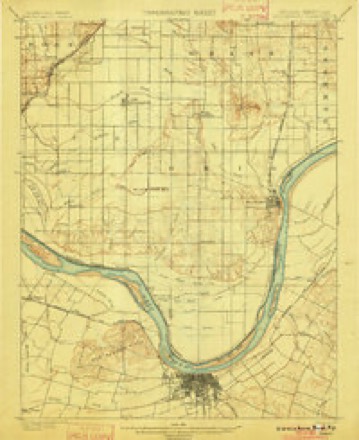
- 1901 USGS Owensboro quadrangle1:62500, 5 printings
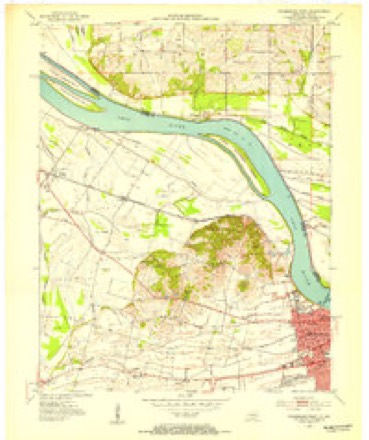
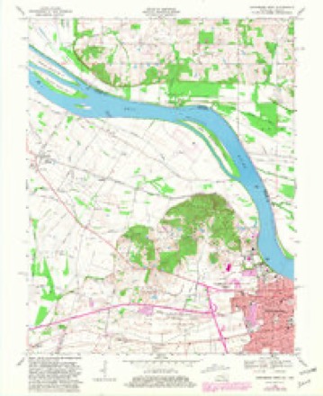
- 1952 USGS Owensboro West quadrangle1:24000
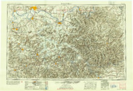
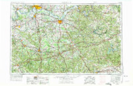
- 1954 USGS Evansville quadrangle1:250000
- 1956 USGS Owensboro West quadrangle1:24000, 2 printings
- 1957 USGS Evansville quadrangle1:250000, 3 printings
- 1961 USGS Evansville quadrangle1:250000, 2 printings
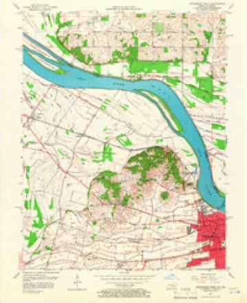
- 1968 USGS Owensboro West quadrangle1:24000, 3 printings
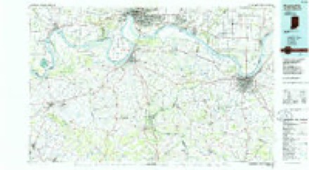
- 1986 USGS Evansville quadrangle1:100000
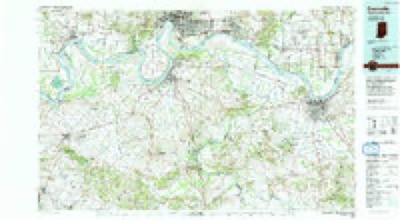
- 1991 USGS Evansville quadrangle1:100000
Fires near this place
1 since 2010Regional context, not property-specific evidence. The federal wildfire occurrence database lists 1 fire within 5 miles of Stanley in 2010, burning about 2 acres in total. None started naturally. None was recorded as arson. Distance is straight-line from the map coordinates, so a fire counted here may appear on a neighbouring settlement's page as well.
| Reported cause | Fires |
|---|---|
| Missing data/not specified/undetermined | 1 |
The most recent of them, most recent first, with the day each was reported and the service that recorded it.
| Date | Cause | Size | Reported by | Name on the report |
|---|---|---|---|---|
| 15 September 2010 | Missing data/not specified/undetermined | 2.0 acres | Kentucky Division of Forestry | DUMP |
Settlements close enough to share some of these fires:
Storms near this place
22 since 1999Regional context, not property-specific evidence. The National Weather Service names Stanley in 22 storm reports between 1999 and 2025: 8 hail, 7 thunderstorm wind, 2 tornado, 2 flash flood. No death or injury is recorded in these reports. Each account below is quoted exactly as the forecast office filed it, from the NOAA Storm Events Database, and each date opens the federal record of that event.
| When | Event | Place named | Harm | What the report says |
|---|---|---|---|---|
| March 2008 | Flood | Stanley | $250,000 | Major urban flooding occurred in Owensboro, where the city used all 65 of its high water signs. Water was up to three feet deep in some spots. Wakes caused by vehicles driving through floodwaters aggravated damage to businesses and residential property. County schools were closed. The Red Cross opened a shelter for any evacuees. Due to flooding around gas meters, utilities were turned off to homes on a couple of streets. A landslide occurred along U.S. Highway 60 near Stanley. The road was closed for repairs. Fifteen to 20 roads were under water in the county. |
| September 2018 | Tornado (EF1) | Stanley | $100,000 | Peak winds in this tornado were estimated near 110 mph. The tornado skirted the southern and eastern parts of the small community of Stanley. There were several witnesses to this widely filmed and documented tornado. A well-defined, convergent damage path was evident in drone footage of the area. The east wall of one home was nearly completely destroyed. Roofs were torn off a few barns and sheds. Several homes received light siding and fascia damage. Corn and tobacco crops were flattened. Several dozen trees were uprooted or topped. The tornado reached its strongest point where it crossed U.S. Highway 60 at Stanley. This tornado was the strongest of four tornadoes that were spawned by a cluster of storms in the Owensboro area. |
| March 2019 | Thunderstorm Wind | Stanley | $50,000 | Power poles were blown down on U.S. Highway 60 between Stanley and Owensboro. In Stanley, trees were reported to be down. A barn about 100 feet wide by 50 feet long was leveled on Highway 815 near West Louisville. |
| April 2007 | Thunderstorm Wind | Stanley | $50,000 | A utility company reported that a meter station, which is a small metal building, was destroyed in Stanley. A semi was overturned on U.S. Highway 231 at Highway 60. There was some sign and window damage at a downtown Owensboro hotel. |
| June 1999 | Thunderstorm Wind | Stanley | $40,000 | At Stanley, numerous trees were downed by gusts estimated from 60 to 70 MPH. At least one vehicle and a shed were crushed by falling trees. A barn was destroyed by high winds about 5 miles south of Owensboro. A wind gust to 60 MPH was measured by wind equipment in the city of Owensboro, and many large tree limbs were down. |
| June 2023 | Thunderstorm Wind | Stanley | $25,000 | Numerous trees were down from Stanley to Owensboro and across much of the rest of the county. |
| May 2014 | Thunderstorm Wind | Stanley | $20,000 | Cross arms were broken off at a railroad crossing. Street signs were blown down. |
| June 2018 | Thunderstorm Wind | Stanley | $15,000 | Near Stanley, a large tree was snapped, and numerous tree limbs were down. A semi truck was blown over on the west side of Owensboro. |
| May 2004 | Lightning | Stanley | $10,000 | Lightning started a barn fire on Kentucky Highway 1554. A gas meter was set on fire by lightning on Kentucky 279 South. |
| June 2018 | Thunderstorm Wind | Stanley | $6,000 | The fire department responded to downed trees and power lines in Stanley. In Sorgho, a tree was snapped and power lines were down. |
| April 2003 | Hail | Stanley | $5,000 | no account filed |
| April 2011 | Tornado (EF0) | Stanley | $3,000 | This brief tornado was witnessed by law enforcement officials. Power lines were down. Peak winds were estimated near 65 mph. |
| May 2025 | Hail | Stanley | - | Penny size hail was measured near Stanley. |
| May 2019 | Hail | Stanley | - | Dime to nickel-size hail was reported in western Daviess County. |
| May 2018 | Hail | Stanley | - | Nickel-size hail was reported, with wind gusts near 50 mph. |
| April 2014 | Flash Flood | Stanley | - | A side street was flooded in Stanley. Cars were turning around. |
| April 2014 | Flash Flood | Stanley | - | Numerous roads were under water throughout the county. |
| June 2011 | Heavy Rain | Stanley | - | Ponding of water was reported on streets in Owensboro. The storm dumped 1.89 inches at Stanley. About two inches was estimated to have fallen at Owensboro. Most of the rain fell within 30 minutes. |
| October 2010 | Hail | Stanley | - | no account filed |
| June 2009 | Hail | Stanley | - | no account filed |
| July 2004 | Hail | Stanley | - | no account filed |
| April 2002 | Hail | Stanley | - | no account filed |
Nearest settlements
The eight closest, with where each one stands in the county. Distances are straight-line, computed from the Geographic Names Information System coordinates.
| Map | Place | Distance | Sheets |
|---|---|---|---|
| Sauer (historical) | 1.0 miles | 14 | |
| Griffith | 1.7 miles | 19 | |
| Newman | 2.9 miles | 14 | |
| Birk City | 3.4 miles | 14 | |
| Parish | 4.7 miles | 19 | |
| Laketown (historical) | 4.8 miles | 17 | |
| Mattingly (historical) | 4.8 miles | 19 | |
| Sorgho | 4.9 miles | 19 |
Elsewhere
Matched on this settlement's Geographic Names Information System number rather than its name, so it cannot be a different place of the same name in another state.
| Wikipedia article on Stanley | An encyclopaedic summary. Its text is share-alike, so it is linked here rather than copied. |
| Wikidata item Q7599395 | The structured record the population and elevation above come from. Public domain (CC0). |
Provenance
This settlement is recorded in the Geographic Names Information System as feature 504258. The sheet list is computed by point-in-boundary test against the United States Geological Survey's historical topographic inventory. Both are works of the United States government and carry no copyright under 17 U.S.C. 105.
Wildfire. Short, Karen C. 2022. Spatial wildfire occurrence data for the United States, 1992-2020 [FPA_FOD_20221014]. 6th Edition. Fort Collins, CO: Forest Service Research Data Archive. https://doi.org/10.2737/RDS-2013-0009.6 Collected with United States Government funding and usable without additional permissions or fees.
Storms. NOAA National Centers for Environmental Information, Storm Events Database https://www.ncei.noaa.gov/stormevents/ A work of the United States government, no copyright under 17 U.S.C. 105. Narratives are quoted verbatim from the National Weather Service report and are not edited or summarised.