 Block
Tonieville, Kentucky
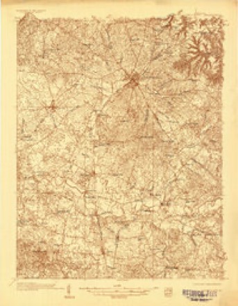
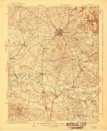
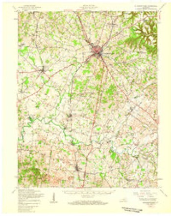
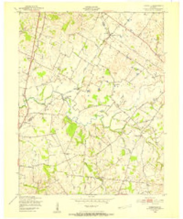
15 topographic sheets cover this place, the earliest surveyed in 1935 and the latest in 1992. It stands in the Hodgenville census division. It lies in ZIP code area 42748. The Survey maps it on the Tonieville quadrangle.
On record in Tonieville
Buildings and businesses the archive holds for this place. Each opens its own page, with the source record it came from.
On the National Register within a mile 2 records
The National Register names another town for these. They stand within one mile of this settlement's coordinate.
- Tonieville Storelisted 1991 · 0.0 miles away
- Albert Goodin Houselisted 1991 · 0.7 miles away
Topographic sheets covering this place
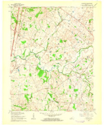
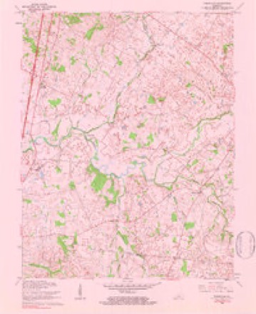
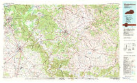
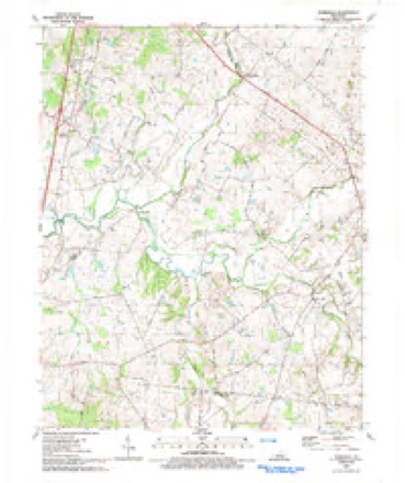
10 surveys from 15 printed sheetsMatched by testing this settlement's coordinate against the published boundary of every sheet in the United States Geological Survey's historical collection. Each opens the scanned sheet at the Survey.
- 1935 USGS Elizabethtown quadrangle1:48000
- 1938 USGS Elizabethtown quadrangle1:62500, 3 printings
- 1949 USGS Elizabethtown quadrangle1:62500
- 1949 USGS Tonieville quadrangle1:24000
- 1957 USGS Winchester quadrangle1:250000, 3 printings
- 1960 USGS Tonieville quadrangle1:24000, 2 printings
- 1960 USGS Winchester quadrangle1:250000
- 1979 USGS Tonieville quadrangle1:24000
- 1981 USGS Elizabethtown quadrangle1:100000
- 1992 USGS Tonieville quadrangle1:24000


Fires near this place
14 since 2000Regional context, not property-specific evidence. The federal wildfire occurrence database lists 14 fires within 5 miles of Tonieville between 2000 and 2017, burning about 204 acres in total. None started naturally. None was recorded as arson. Distance is straight-line from the map coordinates, so a fire counted here may appear on a neighbouring settlement's page as well.
| Reported cause | Fires |
|---|---|
| Missing data/not specified/undetermined | 5 |
| Recreation and ceremony | 4 |
| Debris and open burning | 3 |
| Railroad operations and maintenance | 1 |
| Smoking | 1 |
The most recent of them, most recent first, with the day each was reported and the service that recorded it.
| Date | Cause | Size | Reported by | Name on the report |
|---|---|---|---|---|
| 6 September 2010 | Recreation and ceremony | 1.0 acres | Kentucky Division of Forestry | SOUTH DIXIE |
| 30 September 2007 | Recreation and ceremony | 1.0 acres | Kentucky Division of Forestry | not named |
| 28 September 2008 | Railroad operations and maintenance | 94 acres | Kentucky Division of Forestry | not named |
| 8 April 2002 | Recreation and ceremony | 1.0 acres | Kentucky Division of Forestry | not named |
| 5 April 2005 | Missing data/not specified/undetermined | 1.5 acres | Kentucky Division of Forestry | not named |
| 5 April 2005 | Missing data/not specified/undetermined | 1.5 acres | Kentucky Division of Forestry | not named |
| 13 April 2014 | Debris and open burning | 95 acres | Kentucky Division of Forestry | WEST RHUDES CREEK |
| 12 April 2006 | Missing data/not specified/undetermined | 1.0 acres | Kentucky Division of Forestry | not named |
Settlements close enough to share some of these fires:
Mines and quarries near this place
2 within 5 milesRegional context, not property-specific evidence. The federal mineral resources record lists 2 workings within 5 miles of Tonieville: 1 producer, 1 prospect. 1 still produces. What was taken out: Stone, Crushed/Broken, Clay. Distance is straight-line from the map coordinates, so a quarry counted here may appear on a neighbouring settlement's page as well.
| Where | Site | Commodity | Status | Recorded |
|---|---|---|---|---|
| Cen-Ken Stone Plant No. 2 | Stone, Crushed/Broken | Producer | ||
| Highway Clay Bed | Clay | Prospect |
Storms near this place
7 since 2008Regional context, not property-specific evidence. The National Weather Service names Tonieville in 7 storm reports between 2008 and 2023: 2 flash flood, 2 thunderstorm wind, 2 tornado, 1 hail. No death or injury is recorded in these reports. Each account below is quoted exactly as the forecast office filed it, from the NOAA Storm Events Database, and each date opens the federal record of that event.
| When | Event | Place named | Harm | What the report says |
|---|---|---|---|---|
| June 2013 | Tornado (EF2) | Tonieville | $500,000 | During the late evening hours, a bowing segment embedded within a lengthy line of storms parallel to and south of the Ohio River began to surge southeast. On the northeast section of this segment, a reflectivity notch became apparent. A circulation developed and quickly spawned an EF-2 tornado across northern LaRue County. ||The tornado touched down near the Hardin-LaRue county line between Routes 210 and 61 just northeast of Tonieville. On Castleman Road, just northeast of the Castleman-Carter Brother's Road intersection, a metal shop had its metal sheeting roof removed and thrown downwind around 100 yards. Its garage door was bent and insulation was scattered about. Several trees were uprooted near this location. Damage was estimated as EF-1. ||Downstream, on Carter Brother's Road, a large RV was blown on its side within a mostly destroyed shed. A two story pole tobacco barn was destroyed. Many Red and White Oak trees were either sheared off or had lost many large limbs. Across the road a metal livestock building was destroyed with chaotic damage around a house. Winds here were estimated at around 115 mph, or EF-2.| |Along State Road 1607, not far from the intersection of Salem Church and Dan Dunn Roads, a silo was caved in and a portion of a corn field flattened. ||Considerable damage was surveyed along portions of Slack Road. A one-room schoolhouse was destroyed. A dairy farm had several buildings destroyed, along with many trees uprooted. Based on damage to this dairy farm, tornadic winds up to 130 mph were estimated, near the high end of the EF-2 scale. Also along Slack Road, a two-story house has its entire roof removed. Blown-in insulation was caked on the entire side of a house. A shed was destroyed along with a few trees. The tornado lifted around one fifth of a mile northeast of Nuff Cemetery, near the intersection of Trumbull and Roanoke Roads. |
| January 2023 | Thunderstorm Wind | Tonieville | - | Trees were blown down on Old Elizabethtown Road. |
| March 2021 | Tornado (EF1) | Tonieville | - | The National Weather Service in conjunction with Larue County Emergency Management went on a lengthy storm damage survey across northeast LaRue County. ||A bow echo moving at over 50 mph produced sporadic straight-line wind damage with a distinct tornadic path, primarily along Slack Rd in the Roanoke community. The tornado touched down about a half mile west of 1598 Carter Brothers Road. Aerial photography from a NOAA NWS drone shows distinct swirls along several farmers' properties with damage to a half dozen barns and numerous uprooted and snapped trees. Cedar trees were the most common tree that sustained damage during this tornado. ||At 1598 Carter Brothers Rd, a riding lawn mower was thrown about 50 yards and a garbage can flew 150 yards. There were snapped, twisted, and uprooted trees facing in nearly every direction. Winds at this location were between 90 and 95 miles an hour. ||There were indications that this was an intermittent skipping tornado. Along Dan Dunn Road several barns sustained significant roof and sidewall damage, and a 50 foot by 50 foot chain link fence was bent at 90 degrees along every support post.||The most significant damage of the tornado path was found at 3000 Slack Rd. It destroyed two barns and did significant roof and siding damage to a well-built one-story residential home. Insulation and metal siding were thrown in multiple directions. At the end of the property, aerial drone photography showed trees going in nearly every direction. Wind speeds in this location were estimated to be 100 mph. Residents at the house said they could feel the intense pressure and everything trying to suck out of the house. ||On the way to the next storm damage survey we found sporadic straight line wind damage in Hardin County. This included three mobile homes that sustained roof damage near the Hardin County Fairgrounds. |
| April 2010 | Thunderstorm Wind | Tonieville | - | Barns and small outbuildings were damaged or destroyed along with numerous tree branches blown off. |
| January 2008 | Flash Flood | Tonieville | - | Water covered the intersection of Commerce Parkway and the Lincoln Parkway. |
| April 2008 | Flash Flood | Tonieville | - | Numerous roads in the county were closed due to high water. |
| July 2020 | Hail | Tonieville | - | no account filed |
Nearest settlements
The eight closest, with where each one stands in the county. Distances are straight-line, computed from the Geographic Names Information System coordinates.
| Map | Place | Distance | Sheets |
|---|---|---|---|
| Carter (historical) | 2.6 miles | 18 | |
| Hodgenville | 3.9 miles | 8 | |
| Mathers Mill | 5.0 miles | 15 | |
| Boundary Oak | 6.3 miles | 8 | |
| Roanoke | 6.7 miles | 10 | |
| Tanner | 6.9 miles | 15 | |
| White City (historical) | 7.1 miles | 8 | |
| Leafdale | 7.7 miles | 8 |
Elsewhere
Matched on this settlement's Geographic Names Information System number rather than its name, so it cannot be a different place of the same name in another state.
| Wikipedia article on Tonieville | An encyclopaedic summary. Its text is share-alike, so it is linked here rather than copied. |
| Wikidata item Q7821397 | The structured record the population and elevation above come from. Public domain (CC0). |
Provenance
This settlement is recorded in the Geographic Names Information System as feature 509221. The sheet list is computed by point-in-boundary test against the United States Geological Survey's historical topographic inventory. Both are works of the United States government and carry no copyright under 17 U.S.C. 105.
Wildfire. Short, Karen C. 2022. Spatial wildfire occurrence data for the United States, 1992-2020 [FPA_FOD_20221014]. 6th Edition. Fort Collins, CO: Forest Service Research Data Archive. https://doi.org/10.2737/RDS-2013-0009.6 Collected with United States Government funding and usable without additional permissions or fees.
Mines and quarries. USGS Mineral Resources Data System (MRDS) https://mrdata.usgs.gov/mrds/ A work of the United States government, no copyright under 17 U.S.C. 105.
Storms. NOAA National Centers for Environmental Information, Storm Events Database https://www.ncei.noaa.gov/stormevents/ A work of the United States government, no copyright under 17 U.S.C. 105. Narratives are quoted verbatim from the National Weather Service report and are not edited or summarised.