 Block
Trout, Kentucky
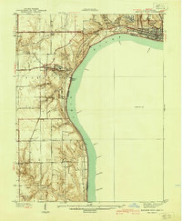
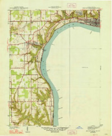
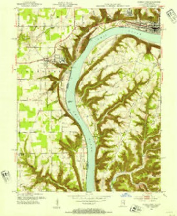
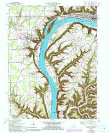
17 topographic sheets cover this place, the earliest surveyed in 1939 and the latest in 1990. It stands in the Milton census division. It lies in ZIP code area 40006. It stands on Pryors Fork. The Survey maps it on the Madison West quadrangle. It stands 479 feet above sea level.
On record in Trout
Buildings and businesses the archive holds for this place. Each opens its own page, with the source record it came from.
On the National Register within a mile 1 record
The National Register names another town for these. They stand within one mile of this settlement's coordinate.
- Preston Houselisted 1983 · 1.0 miles away
Topographic sheets covering this place
8 surveys from 17 printed sheetsMatched by testing this settlement's coordinate against the published boundary of every sheet in the United States Geological Survey's historical collection. Each opens the scanned sheet at the Survey.
- 1939 USGS Madison West quadrangle1:24000, 3 printings
- 1948 USGS Madison West quadrangle1:24000, 2 printings
- 1953 USGS Madison West quadrangle1:24000, 2 printings
- 1956 USGS Louisville quadrangle1:250000, 2 printings
- 1964 USGS Louisville quadrangle1:250000
- 1964 USGS Madison West quadrangle1:24000, 5 printings
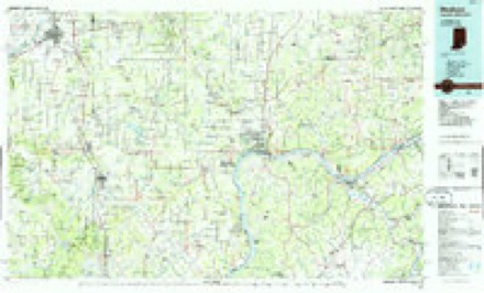
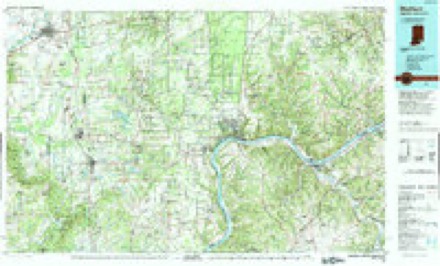
- 1986 USGS Madison quadrangle1:100000
- 1990 USGS Madison quadrangle1:100000


Fires near this place
2 since 2002Regional context, not property-specific evidence. The federal wildfire occurrence database lists 2 fires within 5 miles of Trout between 2002 and 2008, burning about 14 acres in total. None started naturally. None was recorded as arson. Distance is straight-line from the map coordinates, so a fire counted here may appear on a neighbouring settlement's page as well.
| Reported cause | Fires |
|---|---|
| Recreation and ceremony | 2 |
The most recent of them, most recent first, with the day each was reported and the service that recorded it.
| Date | Cause | Size | Reported by | Name on the report |
|---|---|---|---|---|
| 8 March 2002 | Recreation and ceremony | 13 acres | Kentucky Division of Forestry | not named |
| 26 March 2008 | Recreation and ceremony | 1.0 acres | Kentucky Division of Forestry | not named |
Settlements close enough to share some of these fires:
Storms near this place
4 since 2009Regional context, not property-specific evidence. The National Weather Service names Trout in 4 storm reports between 2009 and 2015: 2 flash flood, 1 tornado, 1 hail. No death or injury is recorded in these reports. Each account below is quoted exactly as the forecast office filed it, from the NOAA Storm Events Database, and each date opens the federal record of that event.
| When | Event | Place named | Harm | What the report says |
|---|---|---|---|---|
| July 2015 | Flash Flood | Trout | $75,000 | A trained spotter reported that mobile homes were washed downstream Corn Creek where Joyce Mill Rd and Highway 625 intersect. Several inches of rain fell in the area on top of very saturated ground. |
| March 2012 | Tornado (EF2) | Trout | $75,000 | The massive EF-4 that crossed southern Indiana finally lifted in Trimble County after a solid path length of 49 miles. This tornado crossed the Ohio River as an EF-1 with a 200 yard wide path length. It damaged a home and two barns on Roger's Road. The barns were overturned with several trees damaged in a manner consistent with 105 mph winds. The tornado then crossed a heavily wooded area near the intersection of Routes 625 and 1838 and damaged some garage shingles. At this point, a second satellite vortex developed just to the south of the main circulation. It totally destroyed a barn on Rodgers Road and extensively damaged another. It severely damaged a rugged forested area before merging with the path of the original tornado near the confluence of Corn Creek Road, Highway 625, and Joyce Mill Road. At this point, the tornado was rated an EF2 with 115 mph estimated winds. Three mobile homes near the intersection of Route 625 and Joyce Mill Road were destroyed along with extensive damage to power lines and poles. Farther east, trees were damaged near Rawlett Lane. Before lifting, the twister brought EF-1 damage to two homes and a mobile home on New Hope Ridge Road. It lifted around 2 miles west of Highway 421. |
| July 2015 | Hail | Trout | - | A trained spotter reported hail 1.75 inches in diameter. |
| October 2009 | Flash Flood | Trout | - | Kentucky 625 at Mount Pleasant had four feet of water flowing over the bridge. |
Nearest settlements
The eight closest, with where each one stands in the county. Distances are straight-line, computed from the Geographic Names Information System coordinates.
| Map | Place | Distance | Sheets |
|---|---|---|---|
| Mount Pleasant | 2.2 miles | 15 | |
| Corn Creek (historical) | 3.0 miles | 15 | |
| Poplar Ridge (historical) | 3.1 miles | 8 | |
| Callis Grove | 4.5 miles | 11 | |
| Wises Landing | 4.5 miles | 15 | |
| Barebone (historical) | 5.2 miles | 8 | |
| Bedford | 5.8 miles | 8 | |
| Mount Tabor (historical) | 5.9 miles | 11 |
Elsewhere
Matched on this settlement's Geographic Names Information System number rather than its name, so it cannot be a different place of the same name in another state.
| Wikipedia article on Trout | An encyclopaedic summary. Its text is share-alike, so it is linked here rather than copied. |
| Wikidata item Q7846581 | The structured record the population and elevation above come from. Public domain (CC0). |
Provenance
This settlement is recorded in the Geographic Names Information System as feature 509238. The sheet list is computed by point-in-boundary test against the United States Geological Survey's historical topographic inventory. Both are works of the United States government and carry no copyright under 17 U.S.C. 105.
Wildfire. Short, Karen C. 2022. Spatial wildfire occurrence data for the United States, 1992-2020 [FPA_FOD_20221014]. 6th Edition. Fort Collins, CO: Forest Service Research Data Archive. https://doi.org/10.2737/RDS-2013-0009.6 Collected with United States Government funding and usable without additional permissions or fees.
Storms. NOAA National Centers for Environmental Information, Storm Events Database https://www.ncei.noaa.gov/stormevents/ A work of the United States government, no copyright under 17 U.S.C. 105. Narratives are quoted verbatim from the National Weather Service report and are not edited or summarised.