 Block
Tyler, Kentucky
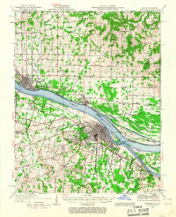
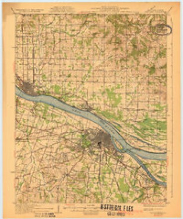
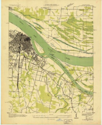
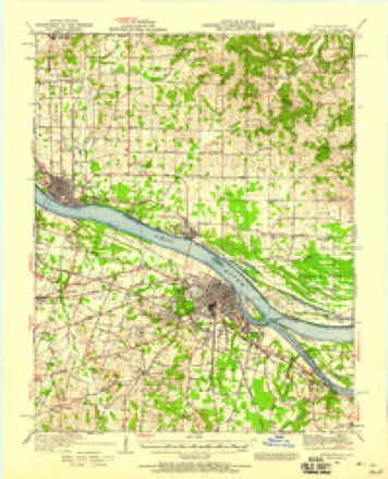
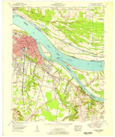
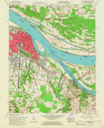
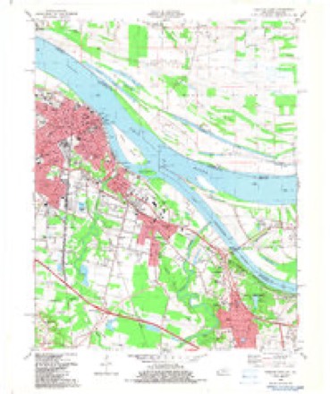
24 topographic sheets cover this place, the earliest surveyed in 1926 and the latest in 1987. It stands in the Paducah census division. It lies in ZIP code area 42003. It lies near Cuba Towhead. The Survey maps it on the Paducah East quadrangle.
On record in Tyler
Buildings and businesses the archive holds for this place. Each opens its own page, with the source record it came from.
On the National Register within a mile 1 record
The National Register names another town for these. They stand within one mile of this settlement's coordinate.
- Artelia Anderson Halllisted 1983 · 0.1 miles away
Topographic sheets covering this place
15 surveys from 24 printed sheetsMatched by testing this settlement's coordinate against the published boundary of every sheet in the United States Geological Survey's historical collection. Each opens the scanned sheet at the Survey.
- 1926 USGS Paducah quadrangle1:62500
- 1929 USGS Paducah quadrangle1:62500, 4 printings
- 1936 USGS Paducah quadrangle1:24000
- 1940 USGS Paducah quadrangle1:62500
- 1949 USGS Paducah quadrangle1:250000, 2 printings
- 1950 USGS Paducah quadrangle1:250000
- 1953 USGS Paducah East quadrangle1:24000
- 1954 USGS Paducah quadrangle1:250000, 2 printings
- 1958 USGS Paducah East quadrangle1:24000, 3 printings
- 1961 USGS Paducah quadrangle1:250000, 2 printings
- 1964 USGS Paducah quadrangle1:250000, 2 printings
- 1982 USGS Paducah East quadrangle1:24000
- 1984 USGS Paducah quadrangle1:100000
- 1986 USGS Paducah quadrangle1:100000
- 1987 USGS Paducah quadrangle1:250000
Fires near this place
22 since 1999Regional context, not property-specific evidence. The federal wildfire occurrence database lists 22 fires within 5 miles of Tyler between 1999 and 2017, burning about 101 acres in total. None started naturally. 1 was recorded as arson. Distance is straight-line from the map coordinates, so a fire counted here may appear on a neighbouring settlement's page as well.
| Reported cause | Fires |
|---|---|
| Missing data/not specified/undetermined | 12 |
| Recreation and ceremony | 4 |
| Debris and open burning | 3 |
| Smoking | 2 |
| Arson/incendiarism | 1 |
The most recent of them, most recent first, with the day each was reported and the service that recorded it.
| Date | Cause | Size | Reported by | Name on the report |
|---|---|---|---|---|
| 25 September 1999 | Missing data/not specified/undetermined | 5.0 acres | Kentucky Division of Forestry | not named |
| 23 September 1999 | Smoking | 3.0 acres | Kentucky Division of Forestry | not named |
| 20 September 2004 | Missing data/not specified/undetermined | 10 acres | Kentucky Division of Forestry | not named |
| 16 August 2004 | Missing data/not specified/undetermined | 2.5 acres | Kentucky Division of Forestry | not named |
| 1 August 2012 | Recreation and ceremony | 2.0 acres | Kentucky Division of Forestry | JOHNY KING |
| 28 July 2005 | Missing data/not specified/undetermined | 2.0 acres | Kentucky Division of Forestry | not named |
| 2 July 2012 | Missing data/not specified/undetermined | 2.0 acres | Illinois Division of Forestry Resources | UNIONVILLE |
| 3 April 2011 | Debris and open burning | 2.0 acres | Illinois Division of Forestry Resources | GRAVEL |
Settlements close enough to share some of these fires:
Mines and quarries near this place
1 within 5 milesRegional context, not property-specific evidence. The federal mineral resources record lists 1 working within 5 miles of Tyler: 1 producer. All of them still produce. What was taken out: Sand and Gravel, Construction. Distance is straight-line from the map coordinates, so a quarry counted here may appear on a neighbouring settlement's page as well.
| Where | Site | Commodity | Status | Recorded |
|---|---|---|---|---|
| Federal Mine Dredge | Sand and Gravel, Construction | Producer |
Storms near this place
9 since 2008Regional context, not property-specific evidence. The National Weather Service names Tyler in 9 storm reports between 2008 and 2024: 4 thunderstorm wind, 2 flood, 1 heavy rain, 1 flash flood. The reports record 1 injury. Each account below is quoted exactly as the forecast office filed it, from the NOAA Storm Events Database, and each date opens the federal record of that event.
| When | Event | Place named | Harm | What the report says |
|---|---|---|---|---|
| January 2022 | Flood | Tyler | 1 hurt | Island Creek rose out of its banks on the south side of Paducah. The flooding was due to a combination of heavy rain on the 9th and backwater from the rising Ohio River. A street intersection in the flood plain was the site of a mishap involving a school bus. The bus drove into the flooded area, possibly due to the removal of barricades by an unauthorized person. The bus listed to one side, and one student was injured. This incident occurred on the 11th. |
| June 2008 | Thunderstorm Wind | Tyler | $50,000 | A dozen trees were down on the south side of Paducah. One house was destroyed and another was heavily damaged when a 4-foot diameter hackberry tree was uprooted. |
| April 2009 | Thunderstorm Wind | Tyler | $40,000 | Large portions of roofing were blown off a church on the southeast outskirts of the city of Paducah. Within one-quarter mile of the church, several homes received shingle damage, a flagpole was snapped, and a barbecue shack was blown down. On Interstate 24 near the 10-mile marker, a bus crash was indirectly blamed on strong winds. A car reportedly blew into a truck, and the truck either struck the bus or caused the bus to crash. The bus driver was critically injured, and about a dozen passengers were taken to a local hospital. |
| May 2018 | Flash Flood | Tyler | $25,000 | In the Hendron community, a basement collapsed due to excessive runoff down a hillside. A vehicle water rescue was conducted in Paducah, within a few miles of the Hendron incident. A Paducah city street intersection was blocked to traffic, and spotty road closures were reported in the county. |
| July 2016 | Thunderstorm Wind | Tyler | $4,000 | A large tree and a power pole was down over Highway 1954 just southeast of Paducah. |
| October 2020 | Thunderstorm Wind | Tyler | $3,000 | A few trees were down on roads in the Reidland-Farley area. |
| May 2024 | Flood | Tyler | - | Flooding occurred at the Jackson Street underpass at the railroad crossing. 6 hour rainfall was a radar estimated 1.5-3 inches over Paducah. |
| May 2024 | Tornado (EFU) | Tyler | - | Several videos and eye witness reports indicate a brief tornado touchdown. The path length and width are estimated from those videos. The tornado caused no damage from which an EF rating could be assigned. |
| July 2009 | Heavy Rain | Tyler | - | Street flooding was reported on the south side of Paducah and near U.S. Highway 62 west of town. |
Nearest settlements
The eight closest, with where each one stands in the county. Distances are straight-line, computed from the Geographic Names Information System coordinates.
| Map | Place | Distance | Sheets |
|---|---|---|---|
| Littleville | 1.1 miles | 24 | |
| Farley | 1.2 miles | 24 | |
| Woodlawn | 1.4 miles | 24 | |
| Paducah | 1.9 miles | 24 | |
| Oakdale | 1.9 miles | 24 | |
| Hovekamp | 2.7 miles | 24 | |
| Hendron | 2.8 miles | 22 | |
| Forest Hill | 3.0 miles | 22 |
Provenance
This settlement is recorded in the Geographic Names Information System as feature 505739. The sheet list is computed by point-in-boundary test against the United States Geological Survey's historical topographic inventory. Both are works of the United States government and carry no copyright under 17 U.S.C. 105.
Wildfire. Short, Karen C. 2022. Spatial wildfire occurrence data for the United States, 1992-2020 [FPA_FOD_20221014]. 6th Edition. Fort Collins, CO: Forest Service Research Data Archive. https://doi.org/10.2737/RDS-2013-0009.6 Collected with United States Government funding and usable without additional permissions or fees.
Mines and quarries. USGS Mineral Resources Data System (MRDS) https://mrdata.usgs.gov/mrds/ A work of the United States government, no copyright under 17 U.S.C. 105.
Storms. NOAA National Centers for Environmental Information, Storm Events Database https://www.ncei.noaa.gov/stormevents/ A work of the United States government, no copyright under 17 U.S.C. 105. Narratives are quoted verbatim from the National Weather Service report and are not edited or summarised.