 Block
Union City, Kentucky
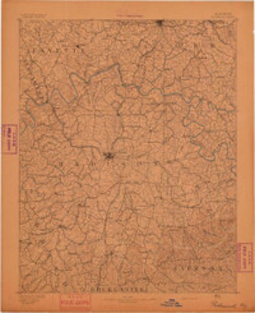
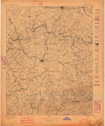
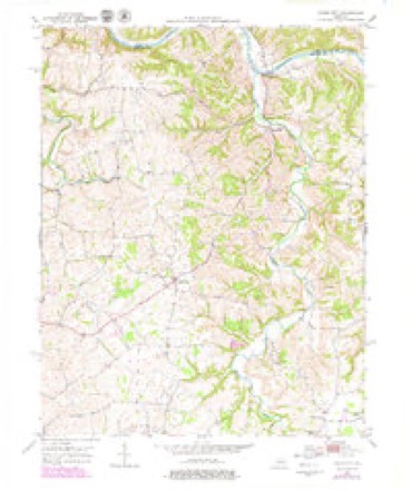
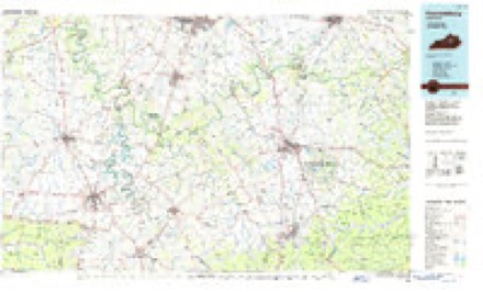
16 topographic sheets cover this place, the earliest surveyed in 1892 and the latest in 1991. It stands in the Boonesborough-White Hall census division. It lies in ZIP code area 40475. The Survey maps it on the Union City quadrangle.
On record in Union City
Buildings and businesses the archive holds for this place. Each opens its own page, with the source record it came from.
On the National Register within a mile 1 record
The National Register names another town for these. They stand within one mile of this settlement's coordinate.
- Shearer Storelisted 1990 · 0.0 miles away
Topographic sheets covering this place
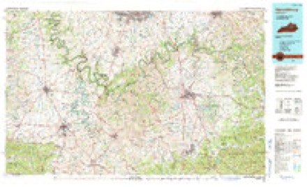
7 surveys from 16 printed sheetsMatched by testing this settlement's coordinate against the published boundary of every sheet in the United States Geological Survey's historical collection. Each opens the scanned sheet at the Survey.
- 1892 USGS Richmond quadrangle1:125000
- 1897 USGS Richmond quadrangle1:125000, 5 printings
- 1952 USGS Union City quadrangle1:24000, 4 printings
- 1957 USGS Winchester quadrangle1:250000, 3 printings
- 1960 USGS Winchester quadrangle1:250000
- 1986 USGS Harrodsburg quadrangle1:100000
- 1991 USGS Harrodsburg quadrangle1:100000


Fires near this place
6 since 1999Regional context, not property-specific evidence. The federal wildfire occurrence database lists 6 fires within 5 miles of Union City between 1999 and 2010, burning about 19 acres in total. None started naturally. 1 was recorded as arson. Distance is straight-line from the map coordinates, so a fire counted here may appear on a neighbouring settlement's page as well.
| Reported cause | Fires |
|---|---|
| Debris and open burning | 2 |
| Recreation and ceremony | 1 |
| Smoking | 1 |
| Arson/incendiarism | 1 |
| Missing data/not specified/undetermined | 1 |
The most recent of them, most recent first, with the day each was reported and the service that recorded it.
| Date | Cause | Size | Reported by | Name on the report |
|---|---|---|---|---|
| 24 September 2002 | Recreation and ceremony | 1.0 acres | Kentucky Division of Forestry | not named |
| 31 August 1999 | Smoking | 10 acres | Kentucky Division of Forestry | not named |
| 20 December 2006 | Missing data/not specified/undetermined | 1.0 acres | Kentucky Division of Forestry | not named |
| 10 November 2010 | Debris and open burning | 1.0 acres | Kentucky Division of Forestry | WEDDLES MILL |
| 31 October 1999 | Debris and open burning | 1.0 acres | Kentucky Division of Forestry | not named |
| 11 January 2001 | Arson/incendiarism | 5.0 acres | Kentucky Division of Forestry | not named |
Settlements close enough to share some of these fires:
Storms near this place
12 since 2011Regional context, not property-specific evidence. The National Weather Service names Union City in 12 storm reports between 2011 and 2023: 6 thunderstorm wind, 2 hail, 2 tornado, 1 flood. The reports record 4 injuries. Each account below is quoted exactly as the forecast office filed it, from the NOAA Storm Events Database, and each date opens the federal record of that event.
| When | Event | Place named | Harm | What the report says |
|---|---|---|---|---|
| January 2020 | Thunderstorm Wind | Union City | 3 hurt | The National Weather Service, in conjunction with Madison County KY EMA, conducted a storm damage survey in eastern Madison County. The most concentrated area of damage was located at 595 Charlie Norris Rd, where several large barns, a greenhouse, and the top of a silo all experienced major structural damage. All of the barn and silo damage was moved from the SW to the NNE at a distance of up to half a mile. The medium sized greenhouse had its entire roof structure destroyed. A single-wide mobile home was turned and rolled once or twice, with three people inside. The three people all sustained bruises and cuts, with the most significant being a female who was thrown into a fish tank and had to go the hospital. An old farmhouse adjacent to the mobile home sustained major roof damage as well. All across the property, there were uprooted and snapped trees. Across the street, on the west side of the road, a medium sized barn was completely destroyed.At 645 Charlie Norris Rd, there was extensive tree damage, especially cedar trees, along with outbuildings and barns. The home owner had recently built a new fence with posts in concrete, and some of these posts were leaning or lifted out of the ground. The owner was putting away a small John Deere tractor about a minute before the storm struck and the winds were so strong, it lifted the tractor almost a foot off the ground and rotated it approximately 60 degrees. A smaller house on the property experienced damage on the front porch, which had its foundation lifted, damaging the roof and gutter. The emergency manager in Clark County KY reported sporadic wind damage across the county, mainly in the form of tree damage. One of the most concentrated areas of damage was 470 Ford Hampton Rd in Winchester. |
| January 2020 | Thunderstorm Wind | Union City | 1 hurt | A mobile home was flipped over on Charlie Norris Road. Two occupants were inside with one person receiving minor injuries. |
| April 2017 | Thunderstorm Wind | Union City | $30,000 | The Madison County emergency manager reported trees down at several locations on Union City Road, including one older tree on the roof of a shed. There was also minor siding and roof damage on Diamond Brook Drive. |
| April 2017 | Thunderstorm Wind | Union City | $10,000 | A NWS Storm Survey team found many shingles off a roof and a garage door caved in on Diamond Brook Drive. |
| January 2023 | Tornado (EF1) | Union City | - | A tornado developed on the backside of a squall line, first touching down just south of Runyon Grove. Near this location the tornado snapped several trees and caused major damage to a hay barn. The tornado continued northeast, where it caused damage to a chicken coop and dog run. The tornado continued into the Braemar subdivision where it caused damage to numerous trees and roof damage to several homes. The tornado lifted a travel trailer over a red sports car. This action resulted in the travel trailer being flipped on its side and rotated 90 degrees from its original orientation. The tornado continued northeast of the subdivision where it lifted shortly thereafter. No downstream damage was found. |
| June 2023 | Hail | Union City | - | Quarter sized hail observed northeast of Richmond. |
| January 2022 | Tornado (EF1) | Union City | - | NWS Storm Survey Teams found EF-1 tornado damage in Madison County. This tornado damage path was embedded within a broader swath of straight line wind damage. Hundreds of trees were uprooted or snapped, and multiple outbuildings were destroyed, but damage to homes in the area was mainly limited to roof, siding, and window damage.||The tornado touched down a half mile west of Union City, initially snapping off multiple cedar trees. Homes along Noland Road sustained roof, siding, and window damage, some of which occurred as a result of flying debris from damaged outbuildings. Nearby, along Union City Road, straight line winds estimated at 80 mph shifted mobile homes off foundations and overturned a small shed.||More extensive damage was observed as the tornado approached Walker Parke Road, where multiple hardwood trees were uprooted or snapped. One home had its chimney collapse, and a brick from the chimney was thrown through the window of a van parked on the south side of the home. A neighboring home lost its entire metal roof.||The most extensive damage occurred east-northeast of Union City along Doylesville Road. Many cedar trees were snapped and the roof of a home was damaged at a farm in a valley area, but the winds strengthened as the tornado reached another farm near the next ridge top. Here, three substantial outbuildings were completely destroyed, and one was shifted far enough off its foundation to be a total loss. Many trees were uprooted or snapped on this property, and the home sustained damage to its roof and gutters. Additional straight line wind damage was found to hardwood and softwood trees on this property. The tornado then lifted approximately 1.3 miles east-northeast of Union City. |
| July 2021 | Thunderstorm Wind | Union City | - | A tree fell down over Hunter Lane. |
| February 2019 | Flash Flood | Union City | - | Water was moving swiftly along Hunter Lane, Union City, Tates Creek Road, and Catalpa Loop in the city of Richmond. |
| December 2015 | Flood | Union City | - | A Madison County official reported to the NWS that heavy rain resulted in the flooding of the Otter Creek bridge on Union City Road. Also, high water was reported on Union City Road and Hunter Lane. |
| August 2011 | Thunderstorm Wind | Union City | - | The local fire department reported that a tree fell across a power line. |
| April 2012 | Hail | Union City | - | no account filed |
Nearest settlements
The eight closest, with where each one stands in the county. Distances are straight-line, computed from the Geographic Names Information System coordinates.
| Map | Place | Distance | Sheets |
|---|---|---|---|
| Doylesville | 3.8 miles | 16 | |
| Moberly | 3.9 miles | 15 | |
| College Hill | 4.0 miles | 15 | |
| Reeds Crossing | 4.2 miles | 15 | |
| Elliston | 4.5 miles | 15 | |
| Redhouse | 4.6 miles | 16 | |
| Waco | 4.7 miles | 15 | |
| Hillcrest | 5.4 miles | 16 |
Provenance
This settlement is recorded in the Geographic Names Information System as feature 505791. The sheet list is computed by point-in-boundary test against the United States Geological Survey's historical topographic inventory. Both are works of the United States government and carry no copyright under 17 U.S.C. 105.
Wildfire. Short, Karen C. 2022. Spatial wildfire occurrence data for the United States, 1992-2020 [FPA_FOD_20221014]. 6th Edition. Fort Collins, CO: Forest Service Research Data Archive. https://doi.org/10.2737/RDS-2013-0009.6 Collected with United States Government funding and usable without additional permissions or fees.
Storms. NOAA National Centers for Environmental Information, Storm Events Database https://www.ncei.noaa.gov/stormevents/ A work of the United States government, no copyright under 17 U.S.C. 105. Narratives are quoted verbatim from the National Weather Service report and are not edited or summarised.