 Block
From the record
75 National Register listings published here, 2 of them National Historic Landmarks.
Sources: the National Register database, National Park Service
53 topographic sheets and 13 fire insurance atlases across 2 places.
75 National Register listings published here, 2 of them National Historic Landmarks.
Sources: the National Register database, National Park Service
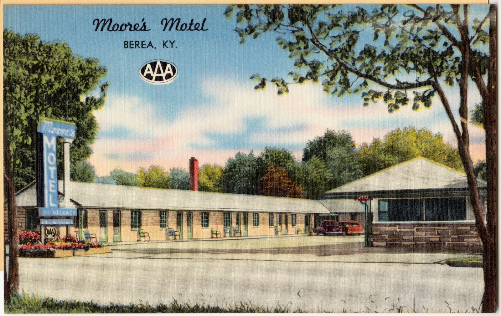
Taken for the Office of War Information and the Farm Security Administration, who photographed the country between 1935 and 1944. Works of United States government photographers, with no known restriction on use. Each opens its catalogue record.
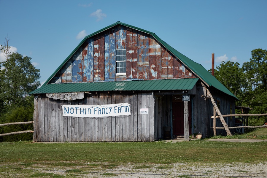

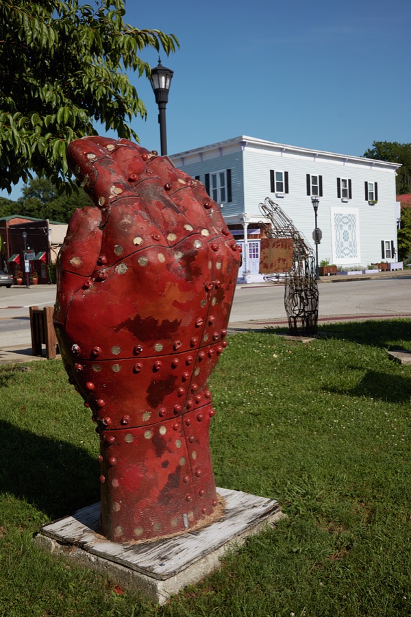

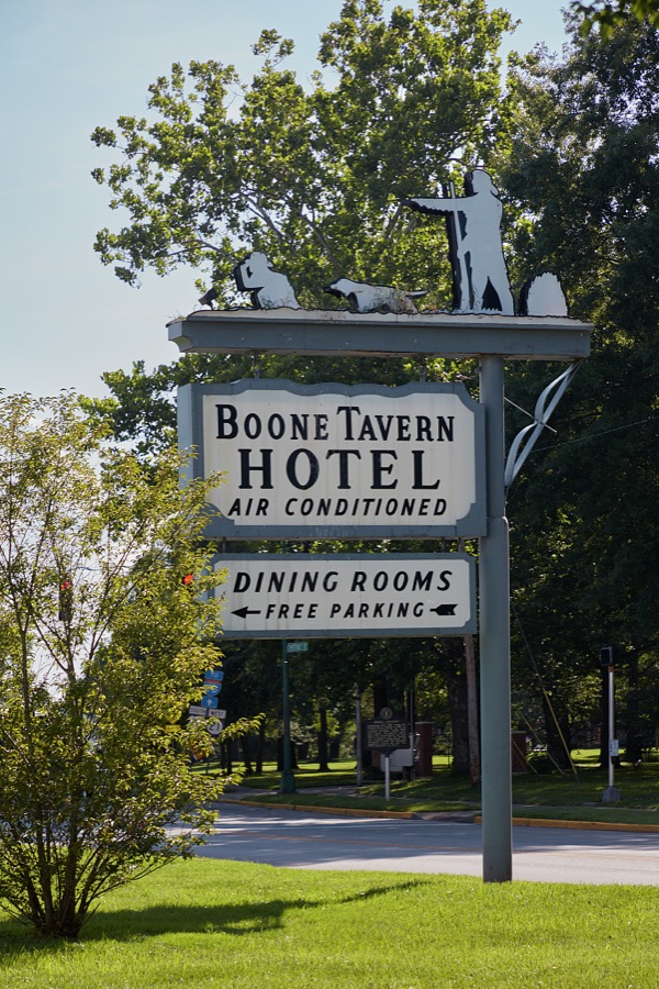
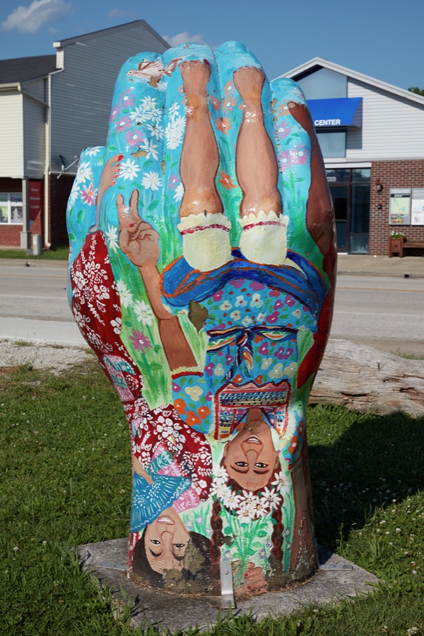
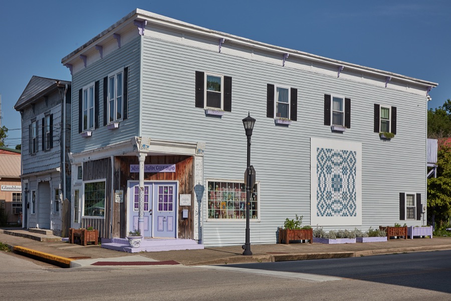
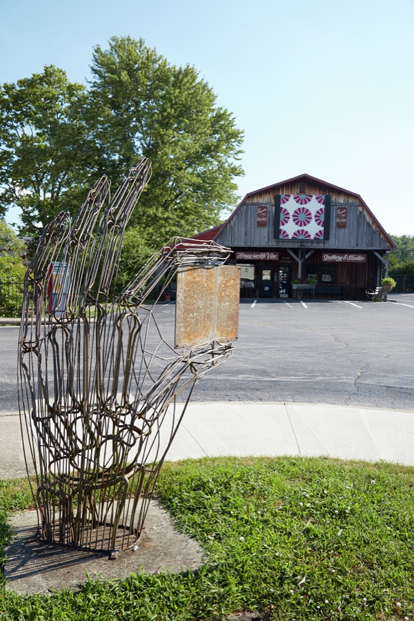
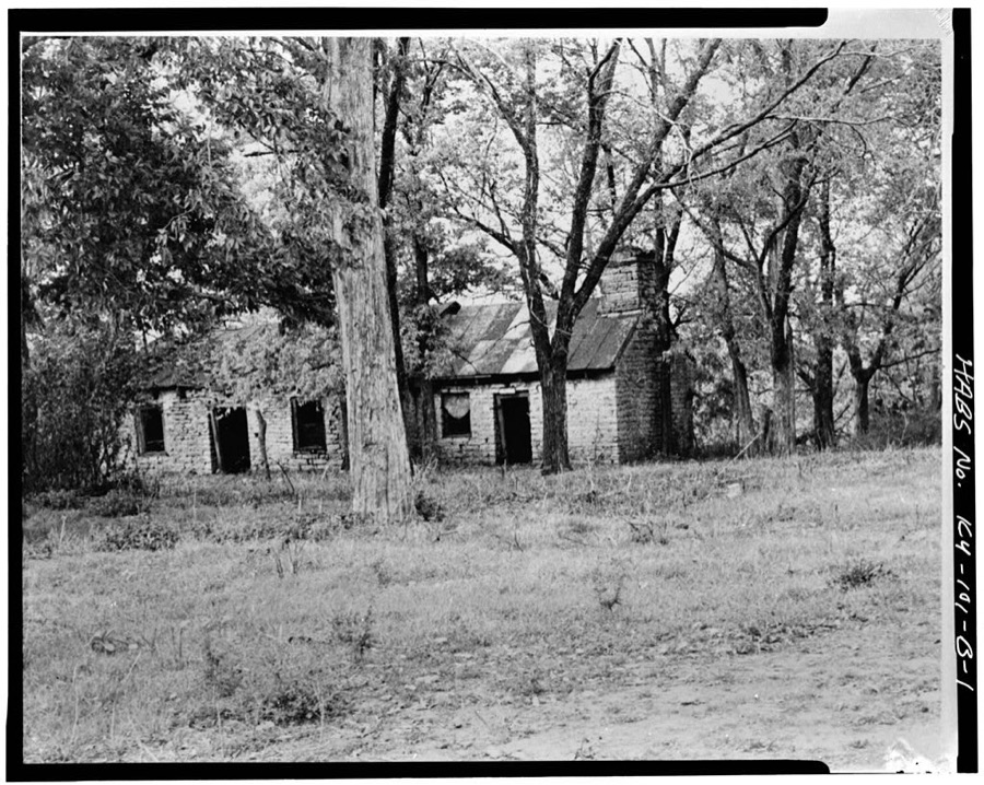
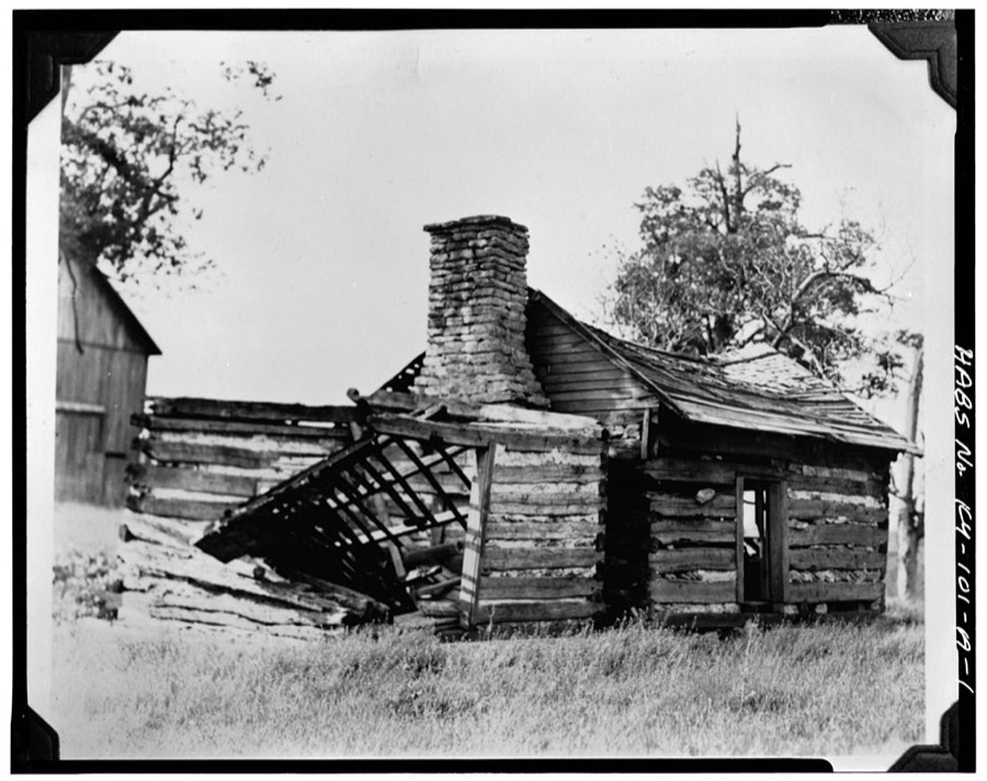
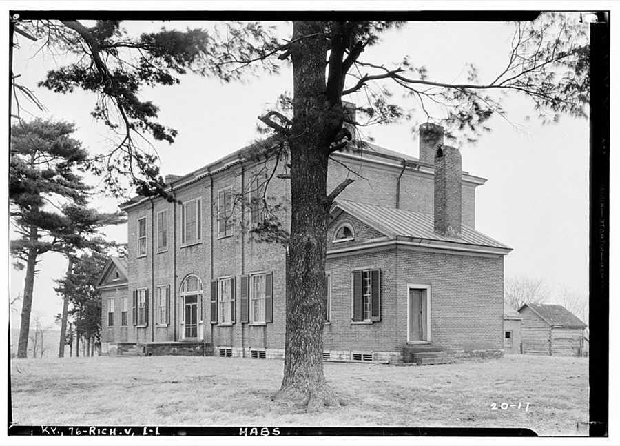
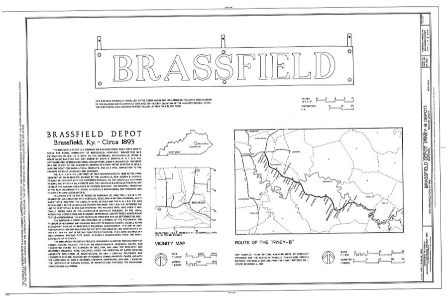
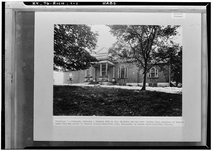
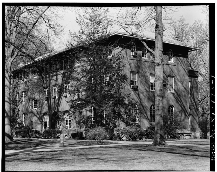
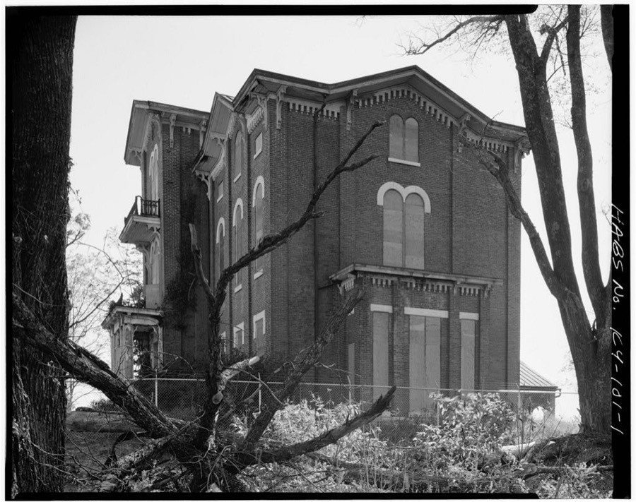
Every property in this county listed on the National Register of Historic Places, with the year it was listed and the federal nomination document.
| Photograph | Property | Type | Listed | Reference |
|---|---|---|---|---|
 | Arlington | building | 1983 | 83003778 |
| Battle of Richmond Historic Areas | district | 1996 | 94000844 | |
| Berea College Forest | site | 2003 | 02000343 | |
| Berea College Square Commercial Historic District | district | 2020 | 100005899 | |
| Berea Downtown Commercial and Residential Historic District | district | 2020 | 100005909 | |
 | Blair Park | building | 1983 | 83003779 |
 | Blythewood | building | 1989 | 88003330 |
| Bogie Houses and Mill Site | district | 1976 | 76000920 | |
 | Boone Tavern Hotel | building | 1996 | 95001527 |
 | Judge Daniel Breck House | building | 1976 | 76000921 |
 | Bronston Place | building | 1983 | 83003781 |
 | Burnawood | building | 1984 | 84001801 |
| Campbell House | building | 1989 | 88003334 | |
| Cane Springs Primitive Baptist Church | building | 1978 | 78001381 | |
| Chenault House | building | 1989 | 88003339 | |
| Churchill Weavers | building | 2014 | 13001054 | |
 | Brutus and Pattie Field Clay House | building | 1990 | 88003341 |
| Whitney Cobb House | building | 1989 | 88003312 | |
 | Cornelison Pottery | building | 1978 | 78001380 |
| Covington House | building | 1989 | 88003329 | |
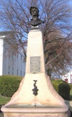 | Downtown Richmond Historic District | district | 1976 | 76000922 |
| Dozier-Guess House | building | 1989 | 88003343 | |
| Duncannon | building | 1980 | 80001650 | |
| Eastern Kentucky University Historic District | district | 1984 | 84001804 | |
| Elk Garden | building | 1989 | 88003326 | |
 | Elmwood | building | 2012 | 84003927 |
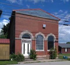 | Farmers Bank of Kirksville | building | 1990 | 88003324 |
 | Fort Boonesborough Townsite Historic District | district | 1994 | 94000303 |
| Griggs House | building | 1989 | 88003316 | |
| Hagan House | building | 1989 | 88003337 | |
| Hakins-Stone-Hagan-Curtis House | building | 1989 | 88003327 | |
| Nathan Hawkins House | building | 1983 | 83002815 | |
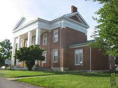 | William Holloway House | building | 1983 | 83003783 |
| Homelands | building | 1989 | 88003332 | |
 | Irvinton | building | 1975 | 75000798 |
| Merritt Jones Tavern | building | 1973 | 73000817 | |
| Karr House | building | 1989 | 88003313 | |
| Kellogg and Company Warehouse | building | 2017 | 100001424 | |
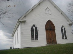 | Kirksville Christian Church | building | 1989 | 88003325 |
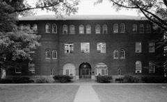 | Lincoln Hall | building | 1974 | 74000892 |
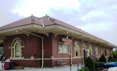 | Louisville and Nashville Railroad Passenger Depot | building | 1975 | 75000797 |
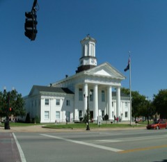 | Madison County Courthouse | building | 1975 | 75000800 |
| Mason House | building | 1989 | 88003320 | |
| Miller, William M., Farm, (Boundary Increase) | district | 2001 | 00001599 | |
| William M. Miller House | building | 1979 | 79003602 | |
| Moberly House | building | 1989 | 88003315 | |
| John Moberly House | building | 1983 | 83002817 | |
| Morrison House | building | 1989 | 88003340 | |
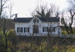 | Mt. Pleasant | building | 1983 | 83003784 |
| Mt. Pleasant Christian Church | building | 1989 | 88003331 | |
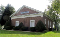 | Mt. Zion Christian Church | building | 1989 | 88003318 |
| Stephen Murphy House | building | 1983 | 83002818 | |
| Newby Country Store | building | 2025 | 100011680 | |
| Isaac Newland House | building | 1983 | 83002819 | |
 | Old Central University | building | 1973 | 73000818 |
| Richmond Armory | building | 2000 | 00000282 | |
| Richmond Cemetery | site | 1983 | 83003785 | |
| Rolling Meadows | building | 1989 | 88003321 | |
| Shearer Store | building | 1990 | 88003314 | |
| Simmons House | building | 1989 | 88003323 | |
 | Squire Turner House | building | 1983 | 83003786 |
| Stephenson House | building | 1989 | 88003322 | |
 | Tate Building | building | 2006 | 06000814 |
| Tates Creek Baptist Church | building | 1989 | 88003333 | |
| Taylor House | building | 1983 | 83003787 | |
| Taylor House | building | 1989 | 88003336 | |
| Tevis House | building | 1989 | 88003335 | |
| Turner House | building | 1989 | 88003338 | |
| Turner-Fitzpatrick House | building | 1989 | 88003328 | |
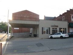 | Union Bus Station | building | 2007 | 07000285 |
| Viney Fork Baptist Church | building | 1989 | 88003317 | |
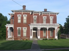 | Walker House | building | 1983 | 83003789 |
| William Walker House | building | 1989 | 88003319 | |
| West Richmond Historic District | district | 1984 | 84001815 | |
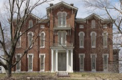 | Whitehall | building | 1971 | 71000352 |
Sampled issues, machine-read from the Library of Congress scan and published page by page, so every headline and column is searchable text.
Berea, Ky., 1899 to 1958. Machine-read from the Library of Congress scan.
Richmond, Madison County, Ky., 1887 to 1897. Machine-read from the Library of Congress scan.
Richmond, Ky., 1897 to 1914. Machine-read from the Library of Congress scan.
Richmond, Ky., 1913 to 1914. Machine-read from the Library of Congress scan.
Richmond, Madison County, Ky., 1914 to 1917. Machine-read from the Library of Congress scan.
Richmond, Madison County, Ky., 1917 to 191?. Machine-read from the Library of Congress scan.
Richmond, Ky., 190? to 1917. Machine-read from the Library of Congress scan.
Richmond, Madison County, Ky., 1917 to 1978. Machine-read from the Library of Congress scan.
Drawn when these were printed as single large sheets: the town seen from the air, and the county divided into its farms with every owner named. Each opens the original at the Library of Congress.
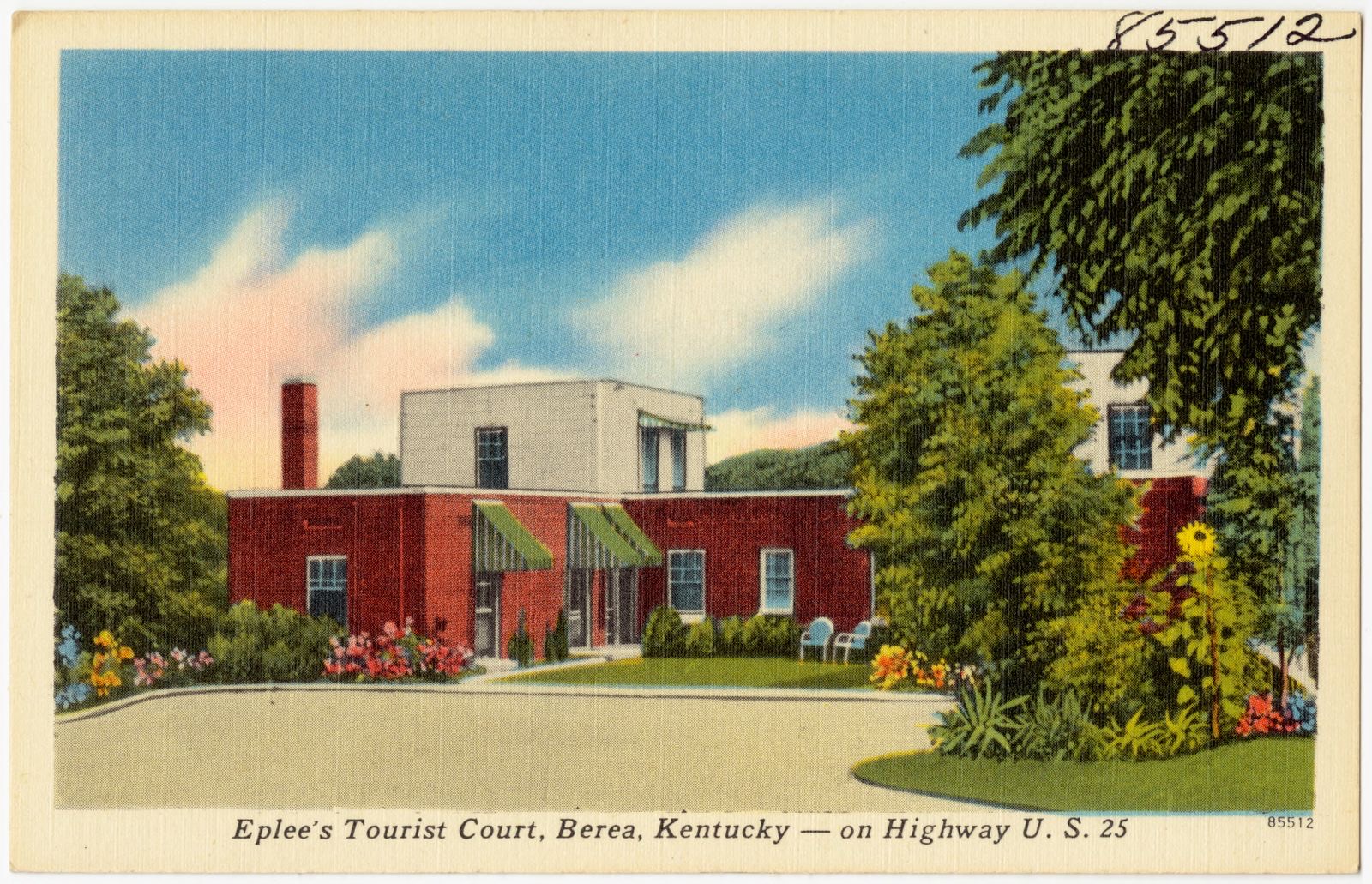
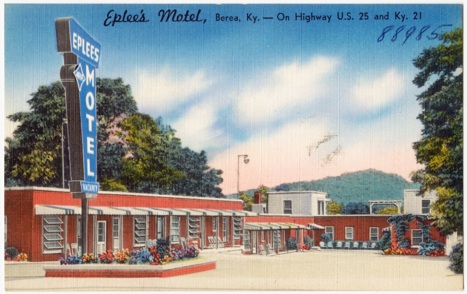
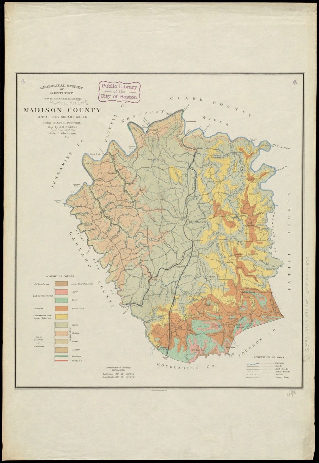
Selected from the Digital Public Library of America's 7 image records catalogued for this county. Every one shown here carries a public-domain status or a licence that permits reuse on a site that carries advertising; non-commercial, share-alike and restricted images are excluded. The selection is spread across the county's towns (at most eight per town), so no single institution's bulk upload crowds out the rest. Each opens the holding library's record, and the complete set at the Digital Public Library of America is one click away.
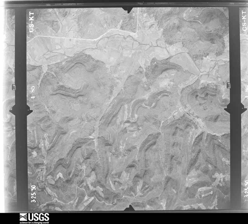
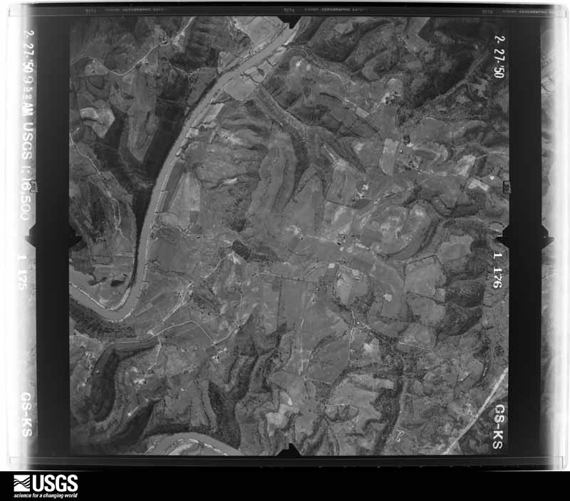
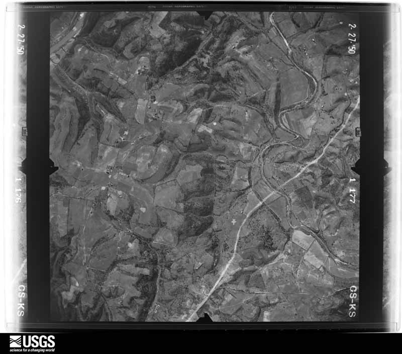
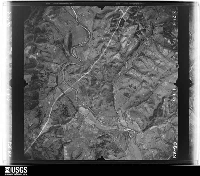
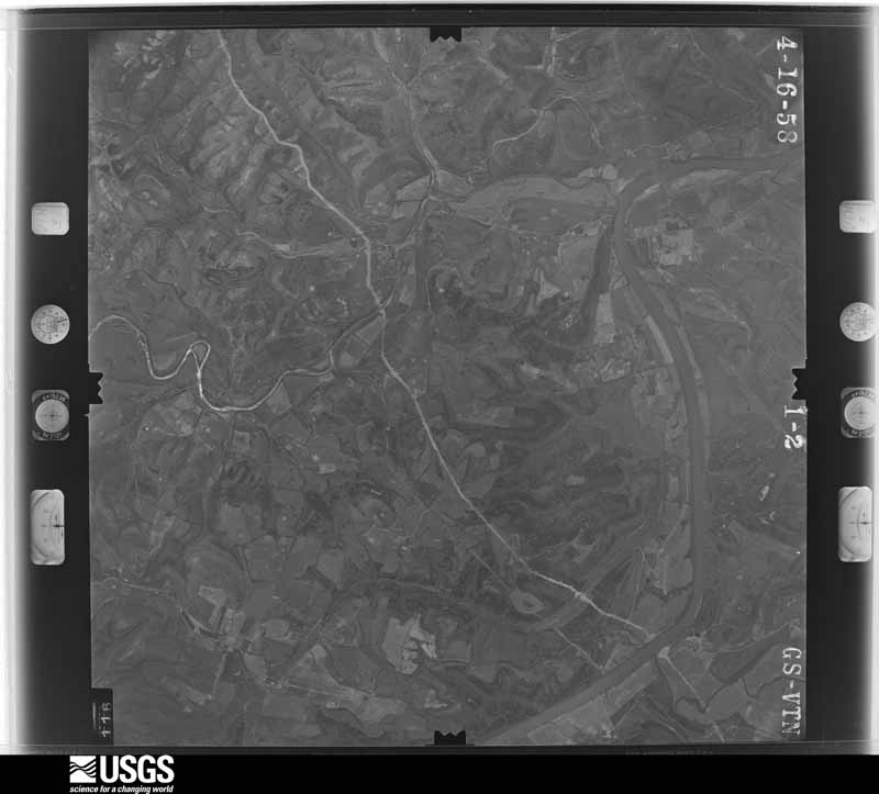
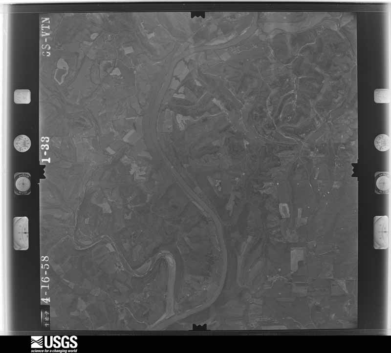
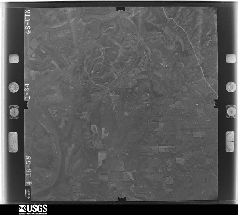
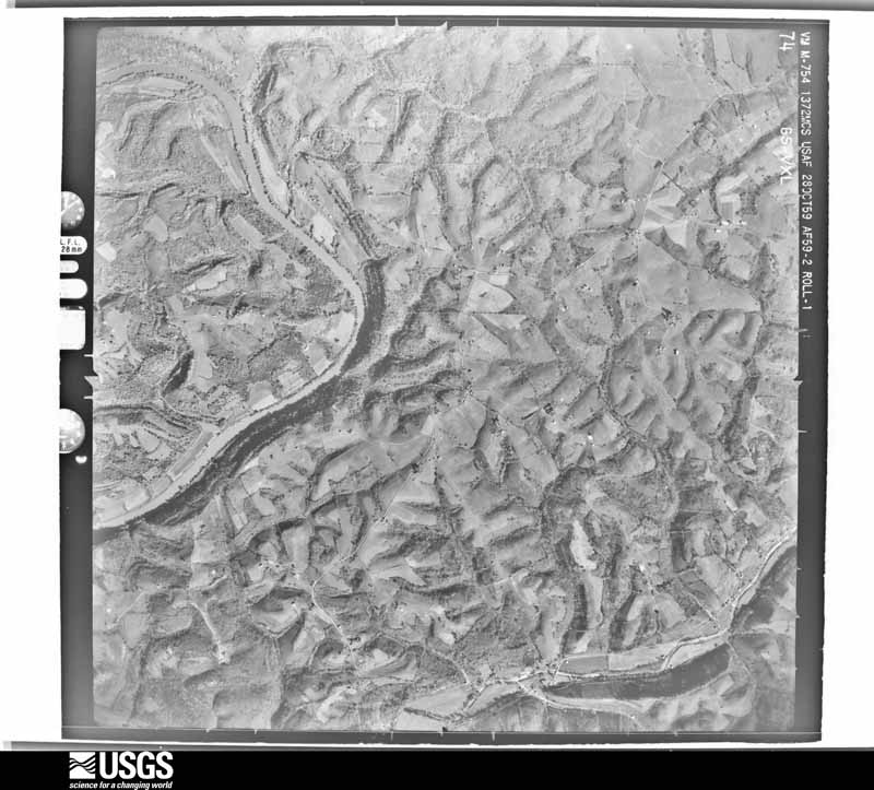
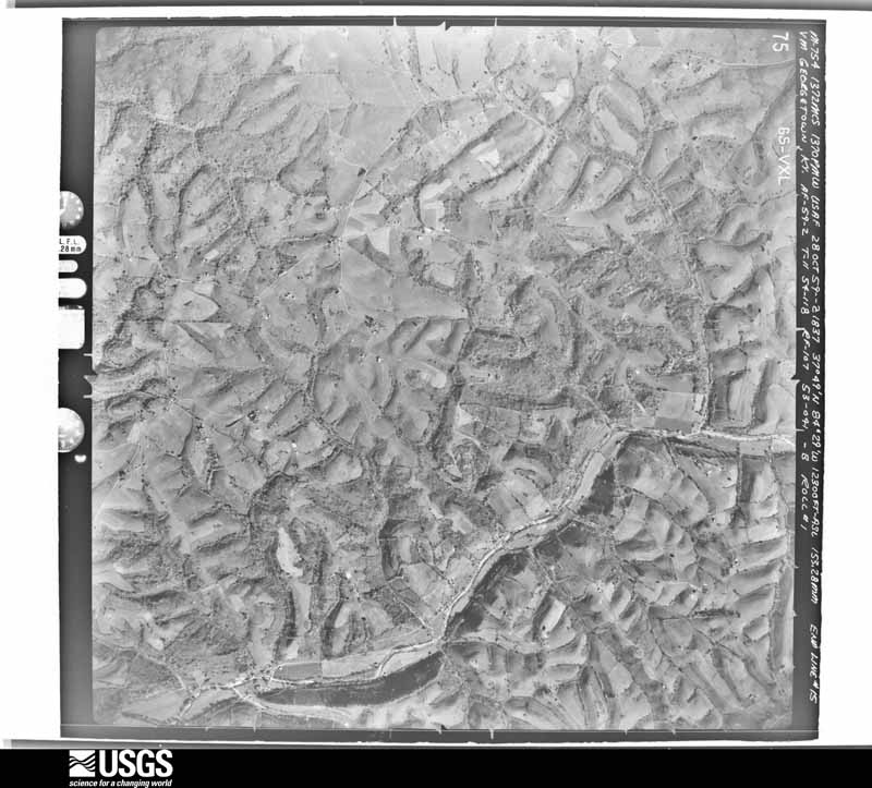
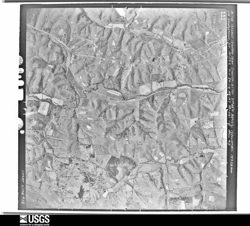
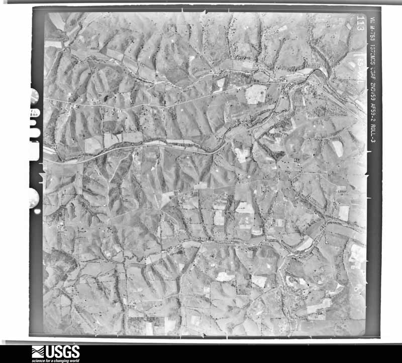
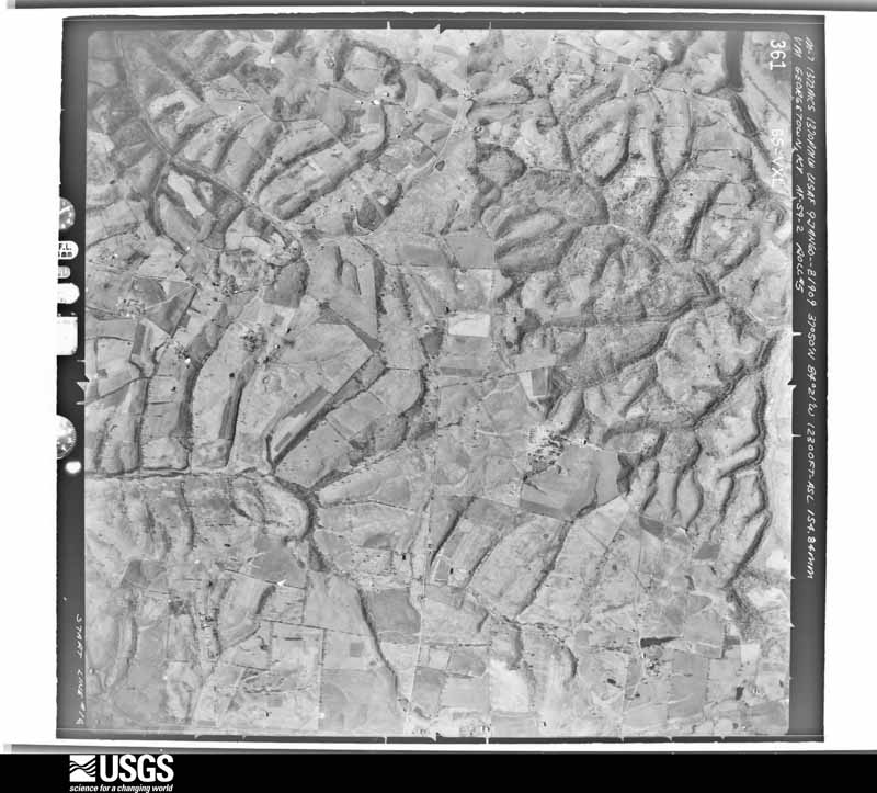
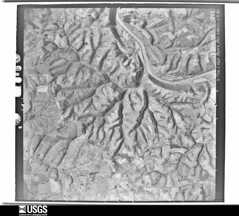
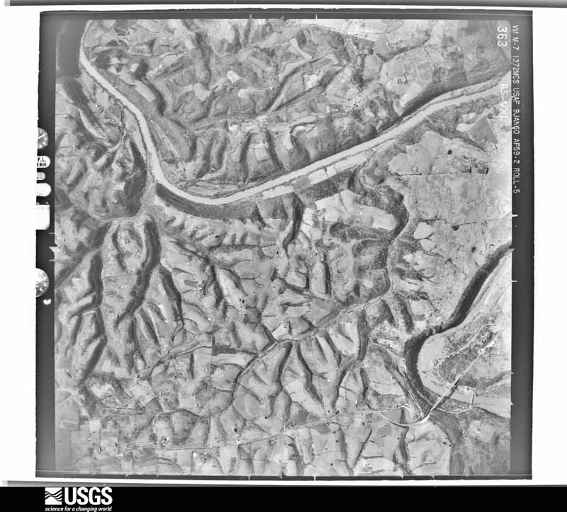
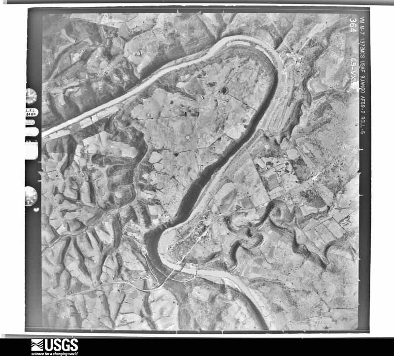
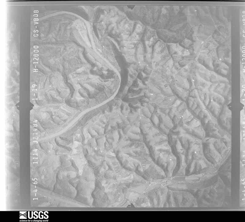
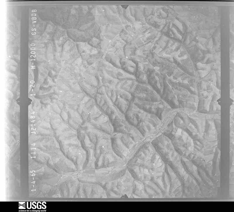
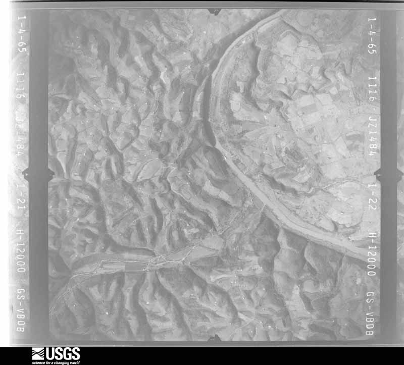
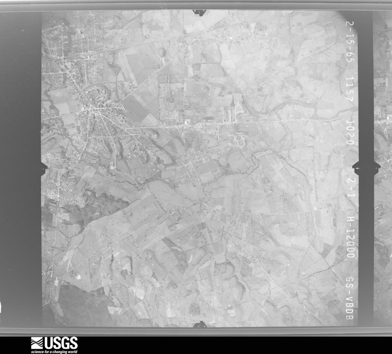
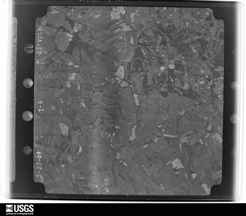
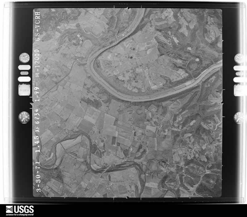
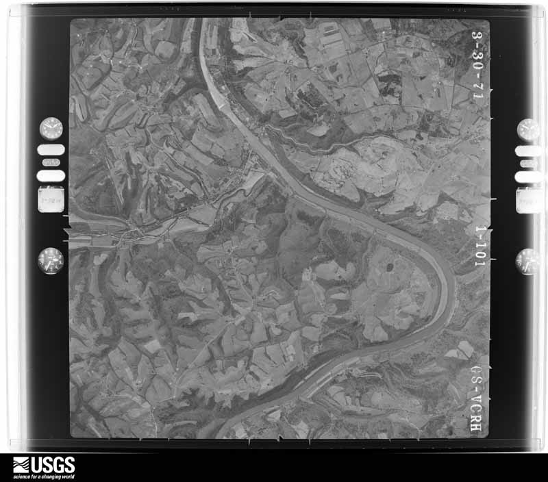
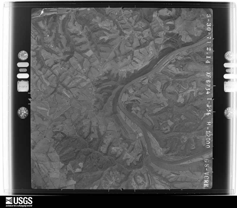
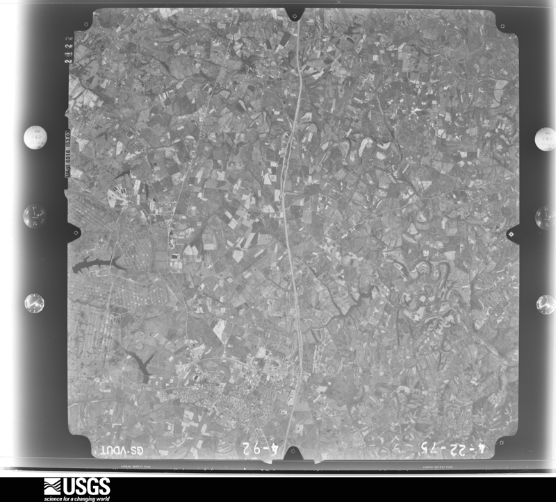
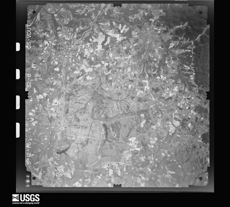
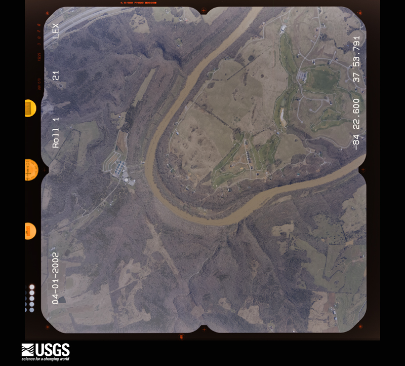
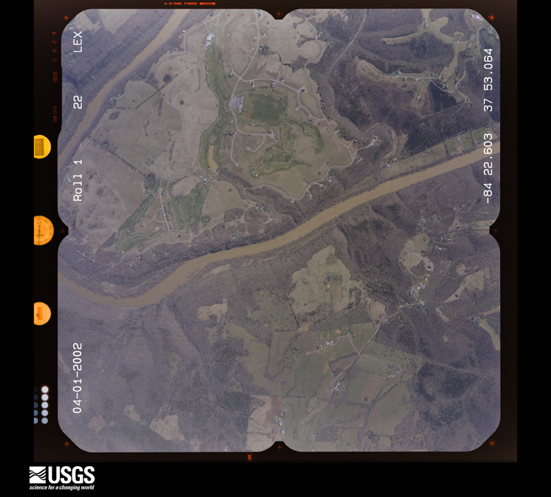
Flown by the U.S. Geological Survey between 1937 and 1989, the Aerial Photo Single Frames collection is the definitive mid-century view of the land: fields, roads and rivers as the camera saw them. The Survey holds 868 frames inside the rectangle that bounds this county; the 41 frames below were taken over the county itself, chosen across the decades of flights (at most four a year from that rectangle), so one flight cannot crowd out the rest. The full set is free to browse and download at EarthExplorer under the dataset Aerial Photo Single Frames.

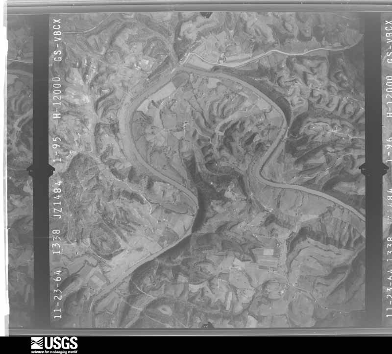
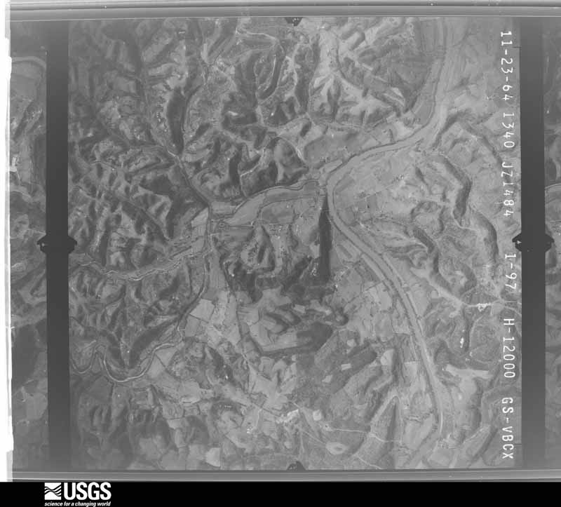
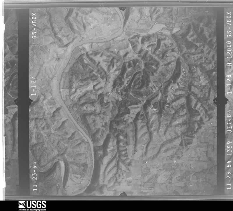
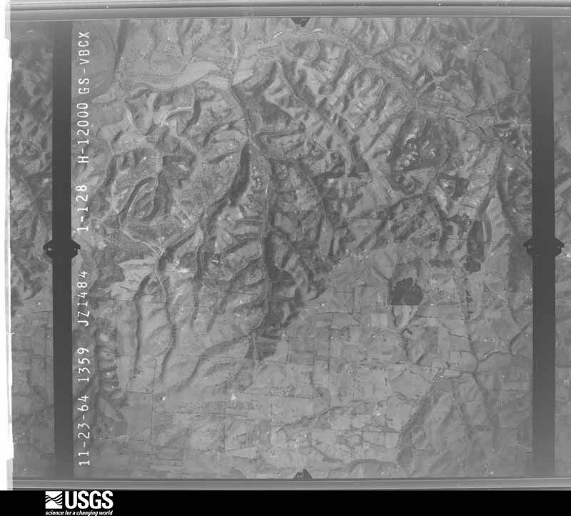









The thermometers that kept this county's weather, and the gages that measured the flow of its streams, as the federal records hold them. The extremes below are measured values from those records, not estimates.
Who lived here in 1950, one enumeration district at a time, as the Census Bureau described each district. Each row opens its official National Archives result, with Population Schedules and ED Maps available there.
Every wildfire the federal occurrence database records inside this county: 141 of them, burning about 1,547 acres. 2 started naturally and 18 were recorded as arson. Each settlement page carries the fires within five miles of it.
| Reported cause | Fires |
|---|---|
| Debris and open burning | 61 |
| Missing data/not specified/undetermined | 37 |
| Arson/incendiarism | 18 |
| Recreation and ceremony | 16 |
| Misuse of fire by a minor | 3 |
| Smoking | 2 |
| Natural | 2 |
| Equipment and vehicle use | 1 |
| Railroad operations and maintenance | 1 |
The five largest, by the area the report gives. Three of them were set deliberately.
| Date | Cause | Size | Reported by | Name on the report |
|---|---|---|---|---|
| 13 November 2010 | Recreation and ceremony | 220 acres | Kentucky Division of Forestry | OWSLEY FORK #1 |
| 12 November 2001 | Arson/incendiarism | 150 acres | Kentucky Division of Forestry | not named |
| 11 April 1997 | Arson/incendiarism | 76 acres | Kentucky Division of Forestry | not named |
| 30 March 2005 | Missing data/not specified/undetermined | 75 acres | Kentucky Division of Forestry | not named |
| 22 November 2010 | Missing data/not specified/undetermined | 70 acres | Kentucky Division of Forestry | LOCUST BRANCH SCHOOL ROAD |
| 3 November 2003 | Missing data/not specified/undetermined | 56 acres | Kentucky Division of Forestry | not named |
| 31 October 2000 | Arson/incendiarism | 50 acres | Kentucky Division of Forestry | not named |
| 27 February 2004 | Missing data/not specified/undetermined | 50 acres | Kentucky Division of Forestry | not named |
Every settlement page carries the fires within five miles of it - see the settlement index below.
The NOAA Storm Events Database holds 401 reports for this county, causing 16 deaths, 66 injuries and about $40,634,000 in recorded property damage. Each settlement page carries the reports that name it.
| Kind of event | Reports |
|---|---|
| Thunderstorm Wind | 216 |
| Hail | 80 |
| Flash Flood | 61 |
| Tornado | 18 |
| Flood | 18 |
| Lightning | 4 |
| Heavy Rain | 3 |
| Debris Flow | 1 |
The most serious of them, by death, then injury, then recorded damage. The accounts are quoted exactly as the forecast office filed them.
| When | Event | Place named | Harm | What the report says |
|---|---|---|---|---|
| April 1974 | Tornado (F4) | not stated | 7 killed, 20 hurt | no account filed |
| May 2009 | Tornado (EF3) | Kirksville | 2 killed, 15 hurt | The tornado first touched down in the Nina Ridge Road area three miles ESE of McCreary in Garrard County. The tornado caused EF-1 damage at this location before strengthening to EF-2 just before entering Madison County. ||Near the intersection of Highways 1295 and 52 in Madison County, the tornado reached EF-3 intensity. Near this intersection, two adults were killed when the mobile home they were in was picked up and thrown by the tornado. The bodies were recovered from a nearby pond. Five other occupants of the mobile home, including three children, were injured. A female relative in a brick home just yards away from the mobile home received only minor injuries despite being pinned under a collapsed wall in the house. ||The tornado weakened and lifted at times as it continued east across the county, but still caused significant damage. It tore much of the roof off a fire station on the south side of Richmond before moving over the Bluegrass Army Depot toward the community of Waco in the eastern part of the county. After doing extensive damage to mainly roofs in a subdivision of brick homes near Waco, the tornado destroyed a mobile home in the area, carrying two teenage male occupants of the home through the air before dropping them near an elementary school 300 yards away. The teens miraculously received only minor injuries. The tornado weakened significantly from this point on, doing only minor roof damage and downing trees as it continued eastward before lifting near the end of Drowning Creek Road. ||The tornado was up to 150 yards wide with maximum estimated wind speeds up to 140 mph. Approximately 150 homes received damage, the most severe being several brick homes where only interior walls remained standing in the wake of the tornado. |
| August 2013 | Lightning | Cottonburg | 2 killed, 3 hurt | Lightning struck a tobacco barn near Buckeye, killing two men and injuring 3 others. The men were hanging tobacco at the time. |
| April 2015 | Flood | Redhouse | 1 killed, $20,000 | The public reported that several homes were surrounded by high water from heavy rainfall. Approximately 3 to 4 inches of rain fell during the morning. Additionally, a 42 year old male lost his life after hydroplaning on Paint Lick Rd during the morning hours. The vehicle then crashed into Paint Lick Creek and became submerged. Rescue workers were able to retrieve his body later in the evening. |
| May 2010 | Flash Flood | Redhouse | 1 killed, $20,000 | The heavy rains over the previous 24 hours caused the creek flowing by a home to flood the house. One person died in the home when they began shaking and collapsed in the water. The cause of death was found to be drowning and electrocution due to submersion. M65PH. |
| February 2000 | Flash Flood | Richmond | 1 killed, $10,000 | A 15 year old boy died after the car in which he was riding was overtaken by flood waters. |
| June 2003 | Flash Flood | Countywide | 1 killed, $2,000 | A vehicle was attempting to cross a low water bridge over Drowning Creek near Panola in eastern Madison County. The creek was well above the bridge and traveling swiftly. The vehicle was swept away by flood waters. The driver and an adult passenger were rescued, but a 6 year old child was missing, and recovered several days later. Elsewhere, there was minor street flooding in the city of Richmond. |
| September 1996 | Lightning | Berea | 1 killed | no account filed |
| April 1996 | Tornado (F2) | Berea | 10 hurt, $12,800,000 | no account filed |
| June 2016 | Lightning | Richmond | 4 hurt | Employees working at the Cabinet for Health and Family Services were shocked when lightning stuck the building. Lightning also sparked a garage fire on Hume Branch Road near Waco. |
| January 2020 | Thunderstorm Wind | Union City | 3 hurt | The National Weather Service, in conjunction with Madison County KY EMA, conducted a storm damage survey in eastern Madison County. The most concentrated area of damage was located at 595 Charlie Norris Rd, where several large barns, a greenhouse, and the top of a silo all experienced major structural damage. All of the barn and silo damage was moved from the SW to the NNE at a distance of up to half a mile. The medium sized greenhouse had its entire roof structure destroyed. A single-wide mobile home was turned and rolled once or twice, with three people inside. The three people all sustained bruises and cuts, with the most significant being a female who was thrown into a fish tank and had to go the hospital. An old farmhouse adjacent to the mobile home sustained major roof damage as well. All across the property, there were uprooted and snapped trees. Across the street, on the west side of the road, a medium sized barn was completely destroyed.At 645 Charlie Norris Rd, there was extensive tree damage, especially cedar trees, along with outbuildings and barns. The home owner had recently built a new fence with posts in concrete, and some of these posts were leaning or lifted out of the ground. The owner was putting away a small John Deere tractor about a minute before the storm struck and the winds were so strong, it lifted the tractor almost a foot off the ground and rotated it approximately 60 degrees. A smaller house on the property experienced damage on the front porch, which had its foundation lifted, damaging the roof and gutter. The emergency manager in Clark County KY reported sporadic wind damage across the county, mainly in the form of tree damage. One of the most concentrated areas of damage was 470 Ford Hampton Rd in Winchester. |
| March 1955 | Tornado (F3) | not stated | 2 hurt, $250,000 | no account filed |
| April 1955 | Tornado (F1) | not stated | 2 hurt, $25,000 | no account filed |
| May 2009 | Thunderstorm Wind | Silver Creek | 2 hurt | A mobile home was blown across Moran Mill Road near KY 52W. |
| May 1990 | Tornado (F2) | not stated | 1 hurt, $25,000,000 | no account filed |
| August 1972 | Tornado (F2) | not stated | 1 hurt, $250,000 | no account filed |
| April 2002 | Thunderstorm Wind | Richmond | 1 hurt, $25,000 | Many trees were downed. A tree fell on a mobile home, injuring an occupant. Another tree fell on a vehicle. A utility pole was blown down. An ATM machine was damaged by wind. |
| August 2006 | Thunderstorm Wind | Countywide | 1 hurt, $5,000 | Trees and power lines were downed countywide. In Richmond on Boggs Lane, a tree was blown on to a moving vehicle. Minor injuries were reported. Also in Richmond, a shed roof was blown off at Westover Avenue and Spring Street. |
| January 2020 | Thunderstorm Wind | Union City | 1 hurt | A mobile home was flipped over on Charlie Norris Road. Two occupants were inside with one person receiving minor injuries. |
| July 2010 | Flash Flood | Farristown | $892,000 | Homes were flooded on Peachtree Dr. near US Hwy 25 and Carpenter Rd. |
| July 2018 | Lightning | Waco | $100,000 | There was a structure fire caused by a lightning strike on Waco Loop. |
| March 2017 | Thunderstorm Wind | Richmond | $100,000 | A storm survey conducted by NWS Jackson concluded that 2 areas of straight line wind damage occurred near Richmond, Kentucky. The most significant damage occurred just south of Richmond where peak winds reached an estimated 80 mph as a mobile home park was damaged. An anchored mobile home was damaged and slid off its foundation. The second area of straight line winds was just north of Richmond and yielded maximum estimated winds of 65 mph. |
| May 2003 | Tornado (F1) | Happy Lndg | $100,000 | A barn was destroyed. Two homes, two greenhouses, and a garage were damaged. The debris pattern indicated a brief tornado touchdown. |
| March 2017 | Thunderstorm Wind | Kirksville | $75,000 | The Madison County emergency manager reported several barns were flattened due to severe thunderstorm winds. |
| March 2017 | Thunderstorm Wind | Richmond | $70,000 | The Madison County emergency manager reported several mobile homes damaged due to severe thunderstorm winds. |
| April 2015 | Tornado (EF0) | Berea Richmond Fld | $60,000 | The tornado first touched down near a ravine just northwest of Jessica Circle where it snapped a few trees. It then moved southeast, destroying two outbuildings. One of the outbuildings was fully packed, weighing several thousand pounds, and another larger outbuilding was pushed off its foundation. The tornado also did some damage to the roof and shingles of a residence at 326 Jessica Circle. The tornado then continued on an intermittent path to the southeast where it did some additional roof damage to another home and snapped several other trees. The tornado lifted just west of Cherokee Lane. |
| May 2010 | Flash Flood | Richmond | $50,000 | The fire department responded to flooded homes and mobile homes where people were trapped due to rising water. Evacuations also took place. |
| April 2008 | Flash Flood | Doylesville | $50,000 | Several basements were flooded. Some county roads were closed due to high water. There was a landslide on Red House Road north of Richmond. |
| December 2007 | Flash Flood | Richmond | $50,000 | Numerous roads in Richmond were under water due to heavy rains. Some roads were covered by as much as four feet of water. Some buildings were flooded. |
| July 2007 | Thunderstorm Wind | Redhouse | $50,000 | A tree was downed on a mobile home. |
| January 2006 | Thunderstorm Wind | Berea | $50,000 | A mobile home was demolished. |
| November 2017 | Thunderstorm Wind | Baldwin | $40,000 | Broadcast media reported numerous trees and farm outbuildings damaged by severe thunderstorm winds in the Baldwin community. |
| July 2010 | Flash Flood | Buggytown | $40,000 | Law enforcement reported that there were two water rescues underway at KY 52 and Peggy Flatts Rd. |
| April 2018 | Thunderstorm Wind | Bybee | $30,000 | State officials reported trees down on power lines on Drowning Creek Road. |
| March 2017 | Thunderstorm Wind | Terrill | $30,000 | The public reported damage to a gas station on Berea Road. |
| April 2017 | Thunderstorm Wind | Union City | $30,000 | The Madison County emergency manager reported trees down at several locations on Union City Road, including one older tree on the roof of a shed. There was also minor siding and roof damage on Diamond Brook Drive. |
| February 2008 | Thunderstorm Wind | White Hall | $30,000 | Straight line winds blew shingles off some homes. Roofs on some homes had structural damage. Several trees were uprooted. Part of the structure of a gas station was blown on to Highway 627 just southwest of the Fort Boonesboro State Park. |
| April 1991 | Tornado (F1) | not stated | $25,000 | no account filed |
| April 1974 | Tornado (F2) | not stated | $25,000 | no account filed |
| June 1966 | Tornado (F2) | not stated | $25,000 | no account filed |
| April 1958 | Tornado (F1) | not stated | $25,000 | no account filed |
| May 2020 | Thunderstorm Wind | Asbury | $20,000 | A tree fell down on a car. Power lines were also down in the area. |
| July 2012 | Thunderstorm Wind | Brassfield | $20,000 | High winds blew down a barn in eastern Madison County. |
| June 2008 | Thunderstorm Wind | Richmond | $20,000 | Tree fell on cars on Ellis Court in Richmond. |
| May 2018 | Thunderstorm Wind | Richmond | $15,000 | There was a tree on a power line on Gibson Lane in Richmond. |
| April 2015 | Tornado (EF1) | Speedwell | $15,000 | The tornado first touched down on a farm at 1235 Crooksville Road where it snapped and uprooted several trees, spreading them in several directions. It then continued southeast across Gumbottom Road, where a large oak tree was uprooted. Sporadic tree damage continued southeast towards Walter Lakes Road. Just before the tornado lifted, it did minor shingle and porch damage to a residence along Walter Lakes Road. |
| August 2013 | Flash Flood | Middletown | $15,000 | Local law enforcement reported that standing water flooded several cars near Berea. |
| February 2008 | Thunderstorm Wind | White Hall | $15,000 | Straight line winds blew a storage shed blown onto the road at the intersection of State Highway 627 and Lost Fork Road. A small construction trailer was destroyed at the intersection of Lower Hines Creek Road and U.S. Highway 25. Winds overturned the ice making machine at a nearby store. |
| July 2001 | Flash Flood | Waco | $15,000 | One road was closed and several homes had water in basements. |
| November 2000 | Thunderstorm Wind | Countywide | $15,000 | no account filed |
| April 2017 | Thunderstorm Wind | Union City | $10,000 | A NWS Storm Survey team found many shingles off a roof and a garage door caved in on Diamond Brook Drive. |
| July 2015 | Thunderstorm Wind | Middletown | $10,000 | The Madison County emergency manager reported power lines down in the Berea area. Power outages due to severe thunderstorm winds were also reported near the intersection of Highway 52W and KY 595. |
| July 2014 | Thunderstorm Wind | Richmond | $10,000 | A tree fell and damaged a truck near the Eastern Kentucky University Campus. |
| August 2012 | Flash Flood | Richmond | $10,000 | The Madison County emergency manager reported a water rescue just west of downtown Richmond within an area that commonly experiences flooding. Several other low water crossings east of Richmond were briefly closed by high water. |
| May 2010 | Flood | Doylesville | $10,000 | The Kentucky River at Ford Lock crested at 32.3 feet around 1015 AM EST on May 3. Flood stage at Ford is 26 feet. At this level, some offices at the Fort Boonesborough State Park are flooded, and some homes along Kentucky Highway 388 are threatened by flood waters. |
| January 2008 | Thunderstorm Wind | Richmond | $10,000 | Thunderstorm winds downed blew a tree and power lines on car on Woodland Avenue. A carport was blown down on Highway 169. Winds downed another tree near White Station. |
| January 2005 | Thunderstorm Wind | Richmond | $10,000 | Trees and fences were blown down. |
| March 2002 | Thunderstorm Wind | Kingston | $10,000 | Trees were downed and a building was destroyed. |
| May 1996 | Thunderstorm Wind | Countywide | $10,000 | no account filed |
| May 2015 | Thunderstorm Wind | Richmond | $5,000 | An amateur radio operator reported trees down in Richmond, one of which fell onto a car on Sunset Avenue. |
The Survey's mineral resources record lists 2 workings inside this county. 1 still produces and 1 is closed or unrecorded. Each settlement page carries the workings within five miles of it.
| Commodity | Workings |
|---|---|
| Stone, Crushed/Broken | 1 |
| Clay | 1 |
The least common of them first, because a county's hundredth gravel pit says nothing its first ten did not.
| Where | Site | Commodity | Status | Recorded |
|---|---|---|---|---|
| Boonesboro Quarry | Stone, Crushed/Broken | Producer | ||
| Portwood Clay | Clay | Prospect |
Named settlements recorded in the Geographic Names Information System, each with the topographic sheets covering it. Villages, hamlets and abandoned places alike. Each is shown with the nearest named watercourse or landform and the survey quadrangle it falls on. The 2 places that were also surveyed for fire insurance come first, with the number of atlases and photographs held for them.
Berea census division · 40403 · Near Welch Mountain · Berea quadrangle
18 sheets, 1892 to 1991
Fire insurance: 5 atlases
Richmond census division · 40475 · Richmond South quadrangle
17 sheets, 1892 to 1997
Fire insurance: 8 atlases
Richmond census division · 40475 · On Irvine Lick · Richmond North quadrangle
16 sheets, 1892 to 1991
Cottonburg-Valley View census division · 40475 · Near Whitlock Hill · Valley View quadrangle
15 sheets, 1892 to 1991
Berea census division · 40403 · On Red Lick Branch · Bighill quadrangle
16 sheets, 1892 to 1991
Boonesborough-White Hall census division · 40475 · Richmond North quadrangle
16 sheets, 1892 to 1991
Berea census division · 40403 · Near Dead Horse Knob · Berea quadrangle
18 sheets, 1892 to 1991
No longer a settlement
Berea census division · 40403 · Near Joe Lick Knob · Bighill quadrangle
16 sheets, 1892 to 1991
Boonesborough-White Hall census division · 40475 · Ford quadrangle
15 sheets, 1892 to 1991
Berea census division · 40461 · On Jones Branch · Richmond South quadrangle
17 sheets, 1892 to 1997
Kirksville census division · 40475 · On Old Town Branch · Richmond South quadrangle
17 sheets, 1892 to 1997
Waco-Bybee census division · 40385 · On Flint Creek · Palmer quadrangle
15 sheets, 1892 to 1991
Cottonburg-Valley View census division · 40475 · On Duck Branch · Kirksville quadrangle
15 sheets, 1892 to 1991
Waco-Bybee census division · 40475 · Moberly quadrangle
15 sheets, 1892 to 1991
No longer a settlement
Cottonburg-Valley View census division · 40475 · On Bogie Branch · Kirksville quadrangle
15 sheets, 1892 to 1991
Cottonburg-Valley View census division · 40475 · Near Crow Hill · Valley View quadrangle
15 sheets, 1892 to 1991
Boonesborough-White Hall census division · 40475 · On Clear Creek · Union City quadrangle
16 sheets, 1892 to 1991
Berea census division · 40385 · Near Hickory Flat Mountain · Bighill quadrangle
16 sheets, 1892 to 1991
Berea census division · 40403 · On Joe Lick Fork · Bighill quadrangle
16 sheets, 1892 to 1991
Kirksville census division · 40475 · On Ballard Branch · Richmond South quadrangle
17 sheets, 1892 to 1997
Cottonburg-Valley View census division · 40475 · On Jackson Branch · Valley View quadrangle
15 sheets, 1892 to 1991
Waco-Bybee census division · 40385 · On Sand Spring Branch · Moberly quadrangle
15 sheets, 1892 to 1991
Berea census division · 40403 · On Walker Branch · Berea quadrangle
18 sheets, 1892 to 1991
Berea census division · 40461 · On Jones Branch · Kirksville quadrangle
15 sheets, 1892 to 1991
Richmond census division · 40403 · On Pleasant Run · Moberly quadrangle
15 sheets, 1892 to 1991
Kirksville census division · 40475 · Near Round Hill · Kirksville quadrangle
15 sheets, 1892 to 1991
Berea census division · 40403 · Near Dead Horse Knob · Berea quadrangle
18 sheets, 1892 to 1991
Cottonburg-Valley View census division · 40475 · On Honest Branch · Valley View quadrangle
15 sheets, 1892 to 1991
Waco-Bybee census division · 40475 · On Sand Spring Branch · Moberly quadrangle
15 sheets, 1892 to 1991
Cottonburg-Valley View census division · 40475 · Near Jolly Ridge · Valley View quadrangle
15 sheets, 1892 to 1991
Kirksville census division · 40475 · On Vaughn Branch · Richmond South quadrangle
17 sheets, 1892 to 1997
Boonesborough-White Hall census division · 40475 · On West Fork Otter Creek · Richmond North quadrangle
16 sheets, 1892 to 1991
Waco-Bybee census division · 40475 · On Webber Sales Branch · Moberly quadrangle
15 sheets, 1892 to 1991
Richmond census division · 40475 · Richmond North quadrangle
16 sheets, 1892 to 1991
No longer a settlement
Kirksville census division · 40475 · On Round Hill · Kirksville quadrangle
15 sheets, 1892 to 1991
Cottonburg-Valley View census division · 40475 · On Tracy Branch · Kirksville quadrangle
15 sheets, 1892 to 1991
Kirksville census division · 40475 · On Elk Garden Branch · Richmond South quadrangle
17 sheets, 1892 to 1997
Berea census division · 40403 · Near Welch Mountain · Berea quadrangle
18 sheets, 1892 to 1991
Cottonburg-Valley View census division · 40475 · On Hills Spring Branch · Valley View quadrangle
15 sheets, 1892 to 1991
Boonesborough-White Hall census division · 40475 · Union City quadrangle
16 sheets, 1892 to 1991
Cottonburg-Valley View census division · 40475 · On Tate Creek · Valley View quadrangle
15 sheets, 1892 to 1991
Waco-Bybee census division · 40385 · On Sand Spring Branch · Moberly quadrangle
15 sheets, 1892 to 1991
Berea census division · 40461 · On Rocky Branch · Berea quadrangle
18 sheets, 1892 to 1991
Berea census division · 40403 · On Walker Branch · Richmond South quadrangle
17 sheets, 1892 to 1997
The vanished settlements of Madison County: the places named above that are no longer on the map.
17 topographic sheets and 8 fire insurance atlases, 1886 to 1949
18 topographic sheets and 5 fire insurance atlases, 1907 to 1942
The complete index, with nothing left out. Each of these is a separate record with its own page: a federal survey report, or the case file that argued a property on to the National Register. Both are public domain and reproduced word for word.
The vanished settlements of Madison County, the places these records name that are no longer on the map.