 Block
Redhouse, Kentucky
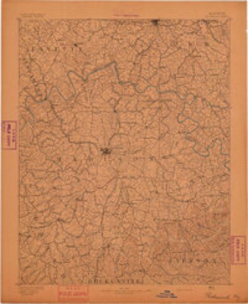
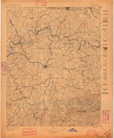
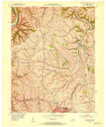
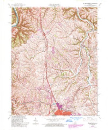
16 topographic sheets cover this place, the earliest surveyed in 1892 and the latest in 1991. It stands in the Boonesborough-White Hall census division. It lies in ZIP code area 40475. It stands on West Fork Otter Creek. The Survey maps it on the Richmond North quadrangle.
On record in Redhouse
Buildings and businesses the archive holds for this place. Each opens its own page, with the source record it came from.
On the National Register within a mile 1 record
The National Register names another town for these. They stand within one mile of this settlement's coordinate.
- Whitney Cobb Houselisted 1989 · 0.8 miles away
Topographic sheets covering this place
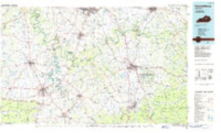
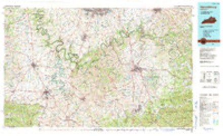
8 surveys from 16 printed sheetsMatched by testing this settlement's coordinate against the published boundary of every sheet in the United States Geological Survey's historical collection. Each opens the scanned sheet at the Survey.
- 1892 USGS Richmond quadrangle1:125000
- 1897 USGS Richmond quadrangle1:125000, 5 printings
- 1952 USGS Richmond North quadrangle1:24000
- 1957 USGS Winchester quadrangle1:250000, 3 printings
- 1960 USGS Winchester quadrangle1:250000
- 1965 USGS Richmond North quadrangle1:24000, 3 printings
- 1986 USGS Harrodsburg quadrangle1:100000
- 1991 USGS Harrodsburg quadrangle1:100000


Fires near this place
11 since 1999Regional context, not property-specific evidence. The federal wildfire occurrence database lists 11 fires within 5 miles of Redhouse between 1999 and 2017, burning about 45 acres in total. 1 started naturally. 1 was recorded as arson. Distance is straight-line from the map coordinates, so a fire counted here may appear on a neighbouring settlement's page as well.
| Reported cause | Fires |
|---|---|
| Missing data/not specified/undetermined | 6 |
| Debris and open burning | 2 |
| Recreation and ceremony | 1 |
| Arson/incendiarism | 1 |
| Natural | 1 |
The most recent of them, most recent first, with the day each was reported and the service that recorded it.
| Date | Cause | Size | Reported by | Name on the report |
|---|---|---|---|---|
| 13 September 2007 | Missing data/not specified/undetermined | 3.0 acres | Kentucky Division of Forestry | not named |
| 13 August 2008 | Recreation and ceremony | 5.0 acres | Kentucky Division of Forestry | not named |
| 7 June 2000 | Natural | 1.0 acres | Kentucky Division of Forestry | not named |
| 25 March 2004 | Missing data/not specified/undetermined | 5.0 acres | Kentucky Division of Forestry | not named |
| 20 December 2006 | Missing data/not specified/undetermined | 1.0 acres | Kentucky Division of Forestry | not named |
| 20 November 2005 | Missing data/not specified/undetermined | 13 acres | Kentucky Division of Forestry | not named |
| 19 November 2017 | Missing data/not specified/undetermined | under an acre | Kentucky Division of Forestry | MT. MORIAH FIRE |
| 10 November 2010 | Missing data/not specified/undetermined | 1.0 acres | Kentucky Division of Forestry | EKU-FM |
Settlements close enough to share some of these fires:
Storms near this place
18 since 2002Regional context, not property-specific evidence. The National Weather Service names Redhouse in 18 storm reports between 2002 and 2025: 10 thunderstorm wind, 4 flash flood, 2 hail, 2 flood. The reports record 2 deaths. Each account below is quoted exactly as the forecast office filed it, from the NOAA Storm Events Database, and each date opens the federal record of that event.
| When | Event | Place named | Harm | What the report says |
|---|---|---|---|---|
| April 2015 | Flood | Redhouse | 1 killed, $20,000 | The public reported that several homes were surrounded by high water from heavy rainfall. Approximately 3 to 4 inches of rain fell during the morning. Additionally, a 42 year old male lost his life after hydroplaning on Paint Lick Rd during the morning hours. The vehicle then crashed into Paint Lick Creek and became submerged. Rescue workers were able to retrieve his body later in the evening. |
| May 2010 | Flash Flood | Redhouse | 1 killed, $20,000 | The heavy rains over the previous 24 hours caused the creek flowing by a home to flood the house. One person died in the home when they began shaking and collapsed in the water. The cause of death was found to be drowning and electrocution due to submersion. M65PH. |
| July 2007 | Thunderstorm Wind | Redhouse | $50,000 | A tree was downed on a mobile home. |
| April 2025 | Flash Flood | Redhouse | - | The Fort Boonesborough State Park campground was completely flooded and evacuated. |
| May 2023 | Thunderstorm Wind | Redhouse | - | A tree fell down on Red House Road. |
| June 2020 | Thunderstorm Wind | Redhouse | - | There were trees down in the the Community of Red House blocking a road near Red House and Peacock Roads. |
| June 2020 | Thunderstorm Wind | Redhouse | - | Trees were downed blocking Lost Fork Road. |
| May 2018 | Thunderstorm Wind | Redhouse | - | Trees were down at Boonesborough Road and the Clark County line. |
| July 2018 | Thunderstorm Wind | Redhouse | - | Trees were reported down. |
| June 2016 | Thunderstorm Wind | Redhouse | - | Trees were reported down blocking Stoney Run Road at Phelps Road. |
| July 2015 | Flood | Redhouse | - | A public report was received of a county road flooded in a low lying area. The report was confirmed by a social media picture. |
| April 2013 | Flash Flood | Redhouse | - | Local media relayed a report of flooding on Union City and Red House Roads near Richmond. The emergency manager reported a road closed in Richmond. |
| July 2011 | Flash Flood | Redhouse | - | Flash flooding due to an estimated 3 to 4 inches of rain closed three separate roads northwest of Richmond. |
| June 2010 | Thunderstorm Wind | Redhouse | - | Several trees were blown down at the intersection of Red House Rd. and East Prong Rd. and were blocking the road. |
| April 2009 | Thunderstorm Wind | Redhouse | - | Several trees were downed near Ford, KY just south of the Madison and Clark County line. |
| March 2002 | Thunderstorm Wind | Redhouse | - | Trees were downed. |
| February 2012 | Hail | Redhouse | - | no account filed |
| March 2002 | Hail | Redhouse | - | no account filed |
Nearest settlements
The eight closest, with where each one stands in the county. Distances are straight-line, computed from the Geographic Names Information System coordinates.
| Map | Place | Distance | Sheets |
|---|---|---|---|
| Blue Grass | 3.5 miles | 16 | |
| Hillcrest | 4.5 miles | 16 | |
| Union City | 4.6 miles | 16 | |
| Boonesborough | 5.3 miles | 15 | |
| Arlington | 5.3 miles | 16 | |
| Rosedale (historical) | 5.6 miles | 16 | |
| Richmond | 5.9 miles | 17 | |
| Doylesville | 6.0 miles | 16 |
Provenance
This settlement is recorded in the Geographic Names Information System as feature 508915. The sheet list is computed by point-in-boundary test against the United States Geological Survey's historical topographic inventory. Both are works of the United States government and carry no copyright under 17 U.S.C. 105.
Wildfire. Short, Karen C. 2022. Spatial wildfire occurrence data for the United States, 1992-2020 [FPA_FOD_20221014]. 6th Edition. Fort Collins, CO: Forest Service Research Data Archive. https://doi.org/10.2737/RDS-2013-0009.6 Collected with United States Government funding and usable without additional permissions or fees.
Storms. NOAA National Centers for Environmental Information, Storm Events Database https://www.ncei.noaa.gov/stormevents/ A work of the United States government, no copyright under 17 U.S.C. 105. Narratives are quoted verbatim from the National Weather Service report and are not edited or summarised.