 Block
Woodville, Kentucky
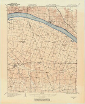
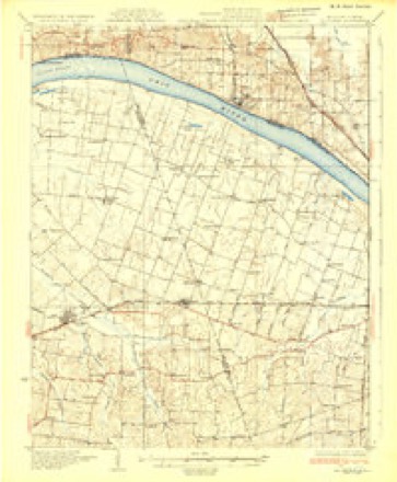
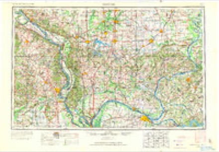
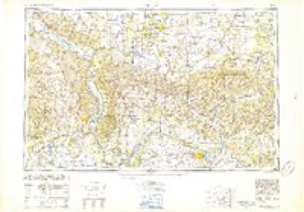
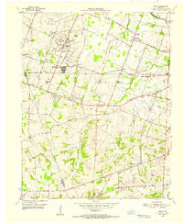
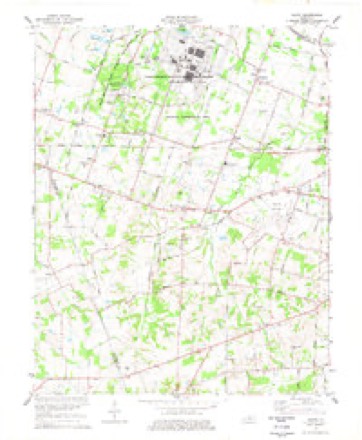
16 topographic sheets cover this place, the earliest surveyed in 1928 and the latest in 1987. It stands in the Grahamville-Heath census division. It lies in ZIP code area 42053. The Survey maps it on the Heath quadrangle.
Topographic sheets covering this place
12 surveys from 16 printed sheetsMatched by testing this settlement's coordinate against the published boundary of every sheet in the United States Geological Survey's historical collection. Each opens the scanned sheet at the Survey.
- 1928 USGS La Center quadrangle1:62500
- 1932 USGS La Center quadrangle1:62500
- 1949 USGS Paducah quadrangle1:250000, 2 printings
- 1950 USGS Paducah quadrangle1:250000
- 1954 USGS Heath quadrangle1:24000
- 1954 USGS Paducah quadrangle1:250000, 2 printings
- 1961 USGS Paducah quadrangle1:250000, 2 printings
- 1964 USGS Paducah quadrangle1:250000, 2 printings
- 1978 USGS Heath quadrangle1:24000
- 1984 USGS Paducah quadrangle1:100000
- 1986 USGS Paducah quadrangle1:100000
- 1987 USGS Paducah quadrangle1:250000
Fires near this place
12 since 1999Regional context, not property-specific evidence. The federal wildfire occurrence database lists 12 fires within 5 miles of Woodville between 1999 and 2016, burning about 130 acres in total. None started naturally. None was recorded as arson. Distance is straight-line from the map coordinates, so a fire counted here may appear on a neighbouring settlement's page as well.
| Reported cause | Fires |
|---|---|
| Missing data/not specified/undetermined | 5 |
| Recreation and ceremony | 2 |
| Debris and open burning | 2 |
| Railroad operations and maintenance | 1 |
| Equipment and vehicle use | 1 |
| Smoking | 1 |
The most recent of them, most recent first, with the day each was reported and the service that recorded it.
| Date | Cause | Size | Reported by | Name on the report |
|---|---|---|---|---|
| 20 September 2004 | Missing data/not specified/undetermined | 2.0 acres | Kentucky Division of Forestry | not named |
| 1 December 1999 | Debris and open burning | 4.0 acres | Kentucky Division of Forestry | not named |
| 6 November 1999 | Missing data/not specified/undetermined | 2.0 acres | Kentucky Division of Forestry | not named |
| 23 November 2008 | Smoking | 5.0 acres | Kentucky Division of Forestry | not named |
| 1 November 2016 | Missing data/not specified/undetermined | 95 acres | Kentucky Division of Forestry | OGDEN LANDING ROAD |
| 5 October 2011 | Recreation and ceremony | 5.0 acres | Kentucky Division of Forestry | BIG BLUESTEM |
| 5 October 2008 | Equipment and vehicle use | 12 acres | Kentucky Division of Forestry | not named |
| 3 October 2008 | Railroad operations and maintenance | 2.0 acres | Kentucky Division of Forestry | not named |
Settlements close enough to share some of these fires:
Storms near this place
14 since 1995Regional context, not property-specific evidence. The National Weather Service names Woodville in 14 storm reports between 1995 and 2024: 9 thunderstorm wind, 2 hail, 2 tornado, 1 flood. The reports record 3 injuries. Each account below is quoted exactly as the forecast office filed it, from the NOAA Storm Events Database, and each date opens the federal record of that event.
| When | Event | Place named | Harm | What the report says |
|---|---|---|---|---|
| April 1995 | Thunderstorm Wind | Woodville | 2 hurt, $200,000 | A severe thunderstorm moving northeast from Ballard County clipped northwest McCracken County. The storm overturned and destroyed a mobile home, causing minor injuries to two of its occupants. Many outbuildings were damaged, roofs were blown off two barns, and some utility poles were snapped or blown over. Several residences sustained minor roof damage. The affected area in McCracken County was about one square mile. |
| November 2013 | Tornado (EF2) | Woodville | 1 hurt, $350,000 | The tornado began very close to the Ballard County line. The most intense damage in McCracken County was rated EF-2 at a uranium enrichment plant just west of Grahamville. At that location, three metal roll-up doors on the main processing building were blown in. Some wall panels on the large processing building were blown out. The tops of three steel power transmission towers within the plant grounds were bent over. A few power lines were snapped. Cooling tower shrouds were blown off. Some siding on a cooling tower was damaged. One sport utility vehicle was shoved 30 yards into a ditch. An off-duty employee of the plant was seriously injured when tornado debris, including another car, was blown into his vehicle. Elsewhere in the county, an abandoned mobile home was demolished, though the undercarriage remained. Many houses had damage to shingles and siding. Some metal roofs were slightly damaged. A wooden fence was ripped from the ground. Chain link fences were blown over. Trees were uprooted or snapped off, some striking homes. A church foyer was destroyed. Road signs were bent. The average path width was 100 yards in McCracken County. The tornado continued east across the Ohio River into Massac County, Illinois, where it strengthened to EF-3 intensity. The total path length of this tornado was 42 miles. The parent supercell tracked from southeast Missouri across the Mississippi River through the Paducah area, then east to the Kentucky Lake area of western Kentucky. |
| April 2009 | Thunderstorm Wind | Woodville | $100,000 | A swath of damaging winds occurred in western McCracken County, from the Ballard County line east to the Paducah city limits. Two storage sheds were destroyed at a farm center on U.S. Route 60 at the Ballard County line. Dog kennels were blown across a field. A power pole was snapped. A few miles west of the Heath community, a 15-by-18 foot section of roof was blown off a church and into a road. A neighboring tobacco barn was destroyed, and shingles were blown off a house roof. Off Highway 358 a couple miles west of Grahamville, a major TVA electrical transmission line went down, along with four large wood electrical towers. An awning in front of a business was destroyed. Numerous tree limbs were blown across roads from the Ballard County line east to near Heath. A wind gust to 60 mph was measured at the National Weather Service office at Barkley Regional Airport. On the west side of the city of Paducah, sheds were blown across a road from a home improvement store. Winds remained strong across the rest of McCracken County, but just below severe levels. A gust to 56 mph was measured in Reidland. |
| April 2024 | Tornado (EF1) | Woodville | $75,000 | A brief EF-1 tornado struck just east of the Woodville community in far Western McCracken County, KY. The tornado moved parallel along the south side of Woodville Road. The most severe damage was to a house that had a portion of its roof removed. A couple more homes suffered facia and siding damage. About a dozen trees had large limbs downed. Peak winds were estimated at 90 mph. |
| March 2007 | Thunderstorm Wind | Woodville | $50,000 | Two vacant single-wide mobile homes were destroyed. Both were blown away from their foundations and overturned. Another mobile home sustained minor damage. A camper was blown a short distance into a boat. Numerous shingles were blown off a house. A flag pole was bent. A few trees were down. Peak winds were estimated near 95 MPH. A National Weather Service damage survey indicated the damage appeared to be caused by a gustnado, a shallow circulation that does not extend to the base of a thunderstorm. The damage pattern was convergent. |
| April 2011 | Thunderstorm Wind | Woodville | $40,000 | Across western McCracken County, a porch roof was blown off, speed limit signs were down, and tree limbs were down. A carport was wrapped around a tree. The damage was mostly north and west of Barkley Regional Airport. |
| May 2011 | Flood | Woodville | $30,000 | no account filed |
| May 1999 | Thunderstorm Wind | Woodville | $10,000 | A number of trees were blown down at several locations in the western part of the county. The control tower at Barkley Regional Airport in West Paducah measured a gust to 60 MPH. Only a few trees were uprooted in the Reidland area of the county. |
| May 2007 | Thunderstorm Wind | Woodville | $7,000 | A power pole was snapped, several trees were blown down, and live power lines were down. A roof was off a kennel. |
| September 2012 | Thunderstorm Wind | Woodville | $5,000 | Scattered areas of damage to tree limbs were reported in northern McCracken County. |
| February 2023 | Thunderstorm Wind | Woodville | $3,000 | A few trees were blown down, blocking roads. Two of the trees were in western McCracken County, and another was in the city of Paducah. |
| April 2009 | Hail | Woodville | - | The hail was reported on U.S. Highway 60 at the McCracken and Ballard County line. |
| June 2011 | Hail | Woodville | - | no account filed |
| April 1995 | Thunderstorm Wind | Woodville | - | no account filed |
Nearest settlements
The eight closest, with where each one stands in the county. Distances are straight-line, computed from the Geographic Names Information System coordinates.
| Map | Place | Distance | Sheets |
|---|---|---|---|
| Cimota City | 1.0 miles | 16 | |
| Bayou Church (historical) | 2.4 miles | 16 | |
| Rossington | 4.1 miles | 19 | |
| West Future City | 4.1 miles | 16 | |
| Ceredo | 4.5 miles | 16 | |
| Heath | 4.5 miles | 16 | |
| Future City | 4.5 miles | 16 | |
| Lamont | 4.6 miles | 16 |
Provenance
This settlement is recorded in the Geographic Names Information System as feature 507127. The sheet list is computed by point-in-boundary test against the United States Geological Survey's historical topographic inventory. Both are works of the United States government and carry no copyright under 17 U.S.C. 105.
Wildfire. Short, Karen C. 2022. Spatial wildfire occurrence data for the United States, 1992-2020 [FPA_FOD_20221014]. 6th Edition. Fort Collins, CO: Forest Service Research Data Archive. https://doi.org/10.2737/RDS-2013-0009.6 Collected with United States Government funding and usable without additional permissions or fees.
Storms. NOAA National Centers for Environmental Information, Storm Events Database https://www.ncei.noaa.gov/stormevents/ A work of the United States government, no copyright under 17 U.S.C. 105. Narratives are quoted verbatim from the National Weather Service report and are not edited or summarised.