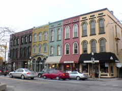
Block
From the record
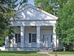
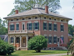
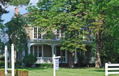
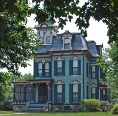
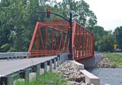
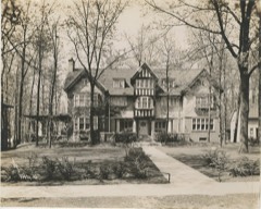
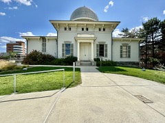
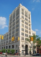
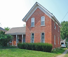
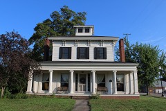
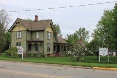
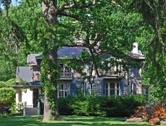
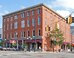
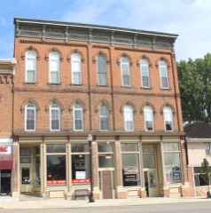
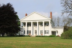
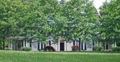
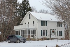
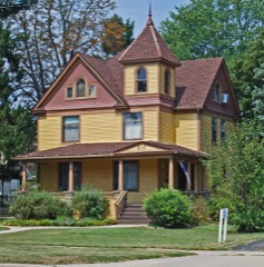
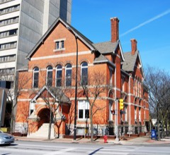
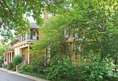
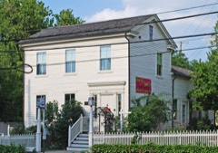
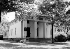
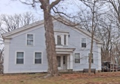
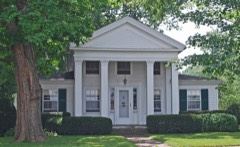
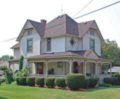
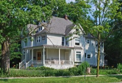
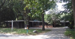
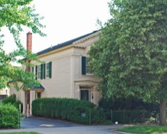
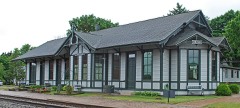
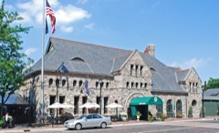
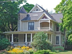
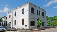
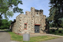
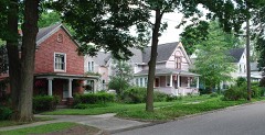
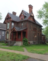
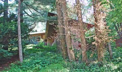
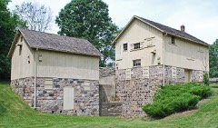
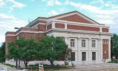
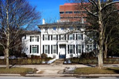
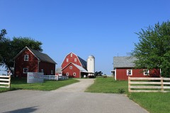
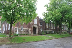
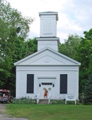
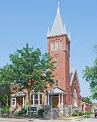
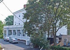
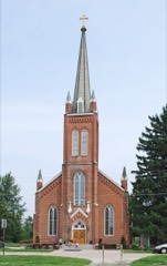
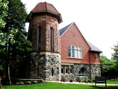
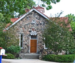
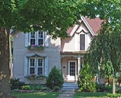
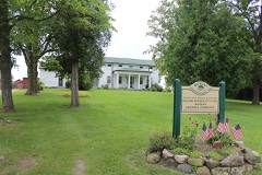
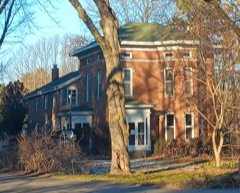
87 National Register listings published here.
Sources: the National Register database, National Park Service
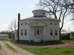
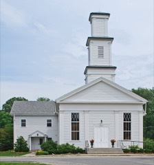
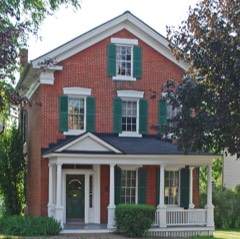
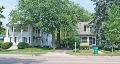
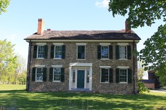
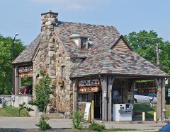
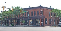
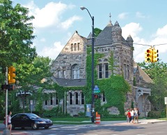
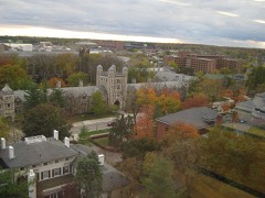
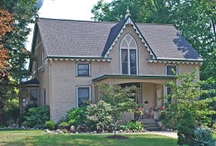
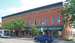
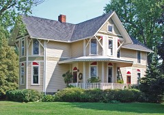
119 topographic sheets cover 47 settlements here, and 87 properties are on the National Register of Historic Places.
87 National Register listings published here.
Sources: the National Register database, National Park Service
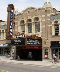
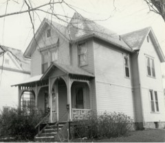
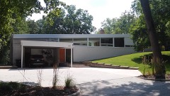
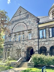
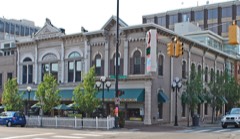
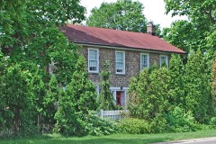
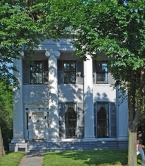
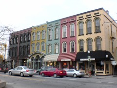
Every property in this county listed on the National Register of Historic Places, with the year it was listed and the federal nomination document.
Every wildfire the federal occurrence database records inside this county: 150 of them, burning about 364 acres. 17 started naturally and 1 was recorded as arson. Each settlement page carries the fires within five miles of it.
| Reported cause | Fires |
|---|---|
| Missing data/not specified/undetermined | 77 |
| Equipment and vehicle use | 42 |
| Natural | 17 |
| Debris and open burning | 4 |
| Smoking | 4 |
| Recreation and ceremony | 3 |
| Power generation/transmission/distribution | 2 |
| Arson/incendiarism | 1 |
The five largest, by the area the report gives. One of them was set deliberately.
| Date | Cause | Size | Reported by | Name on the report |
|---|---|---|---|---|
| 11 April 1996 | Debris and open burning | 98 acres | Michigan Department of Natural Resources | not named |
| 6 April 2019 | Missing data/not specified/undetermined | 25 acres | Michigan Department of Natural Resources | MANCHESTER TOWNSHIP FD 0000133 - 2019 |
| 20 April 2014 | Debris and open burning | 22 acres | Michigan Department of Natural Resources | WASHTENAW 0001 |
| 19 April 2005 | Debris and open burning | 20 acres | Michigan Department of Natural Resources | not named |
| 5 April 2019 | Equipment and vehicle use | 15 acres | Michigan Department of Natural Resources | CHELSEA AREA FIRE AUTHORITY 190477 - 2019 |
| 21 April 2010 | Arson/incendiarism | 12 acres | Michigan Department of Natural Resources | WASHTENAW 01 |
| 13 April 2019 | Equipment and vehicle use | 10 acres | Michigan Department of Natural Resources | DEXTER AREA FD 1900394 - 2019 |
| 2 May 2015 | Missing data/not specified/undetermined | 6.8 acres | Michigan Department of Natural Resources | WASHTENAW 01 |
Every settlement page carries the fires within five miles of it - see the settlement index below.
The NOAA Storm Events Database holds 828 reports for this county, causing 6 deaths, 18 injuries and about $42,865,030 in recorded property damage. Each settlement page carries the reports that name it.
| Kind of event | Reports |
|---|---|
| Thunderstorm Wind | 493 |
| Hail | 261 |
| Tornado | 29 |
| Lightning | 21 |
| Flash Flood | 17 |
| Flood | 7 |
The most serious of them, by death, then injury, then recorded damage. The accounts are quoted exactly as the forecast office filed them.
| When | Event | Place named | Harm | What the report says |
|---|---|---|---|---|
| June 1953 | Tornado (F3) | not stated | 1 killed, 5 hurt, $25,000 | no account filed |
| September 2002 | Lightning | Ann Arbor | 1 killed, 2 hurt | Three men were installing a roof at an apartment complex under construction when they were struck by lightning. Two of the men were injured, while the third was later pronounced dead. |
| May 2000 | Thunderstorm Wind | Salem | 1 killed, $2,000 | no account filed |
| June 2014 | Lightning | Geddes | 1 killed | no account filed |
| May 1991 | Thunderstorm Wind | not stated | 1 killed | no account filed |
| June 1987 | Thunderstorm Wind | not stated | 1 killed | no account filed |
| July 1969 | Tornado (F3) | not stated | 4 hurt, $2,500,000 | no account filed |
| June 1994 | Tornado (F2) | Pleasant Lake | 2 hurt, $5,000,000 | Tornado began near Berry Road and M-106 intersection...moved east-northeast at near 35 miles an hour. Tornado moved along Kennedy Road to just south of Munith...crossed Waterloo-Munith Road...crossed Parks Road...then moved along Tophith Road and entered northwest Washtenaw county...crossing M-52 before lifting north of Chelsea near the Livingston County line. Damage: two modular homes destroyed. A person in the basement of a destroyed home was hit by falling bricks. Another person sustained minor injuries when her pickup truck was blown off M-52 and overturned. Major damage to at least five homes. Roof torn off at least two homes. Attached garages destroyed on two homes. Heaviest damage east of Munith with major damage to farmhouse, with out- buildings destroyed. At least five vehicles damaged, possibly beyond repair. A small airplane and hangar were destroyed. Two barns destroyed in Lyndon Township of Washtenaw County. Heavy tree damage over 16 mile long path was about one mile wide. Many large trees, two feet or greater in diameter, snapped off or uprooted. Many homes damaged by fallen trees. Power and phone lines and poles down over much of the area. Damage estimated at $1.25 million. |
| April 2000 | Lightning | Ann Arbor | 2 hurt | Two 18 year old men were struck by lightning and briefly hospitalized. |
| May 1975 | Tornado (F2) | not stated | 1 hurt, $25,000 | no account filed |
| July 2020 | Thunderstorm Wind | Dover | 1 hurt | Several large trees reported down, including one that fell onto a house. |
| July 2019 | Thunderstorm Wind | Ann Arbor | 1 hurt | Tents were blown down at the Ann Arbor Art Fair which resulted in one injury. |
| March 2012 | Tornado (EF3) | Hudson Mills | $12,000,000 | A National Weather Service Storm Survey confirmed an EF-3 tornado touched down near Dexter, MI with maximum wind speeds of 135-140 mph. The path length was 7.6 miles with a maximum width of 800 yards. The tornado touched down at 5:18 pm just northeast of the intersection of N Territorial and Dexter Townhall Rd. The tornado moved southeast and produced EF-1 damage with winds estimated at 100 mph. Damage was limited to uprooted and snapped trees as well as minor roof damage. The tornado strengthened as it hit the Horseshoe Bend Subdivision with winds estimated at 120 mph and structural damage to the outside of homes. The tornado then continued to track southeast alongside Dexter-Pinckney Rd. and produced EF-3 damage at 5:31pm. Winds estimated at 135-140 mph destroyed one home northwest of Dexter. The tornado then made a left turn and paralleled Huron River Dr. producing EF-2 damage on the north side of Dexter. The tornado then produced EF-3 damage again at 5:49pm in the Huron Farms Subdivision with winds estimated at 135-140 mph. One home was destroyed and another house had only interior rooms left standing. The tornado then weakened as it moved southeast and lifted at 5:56 pm near the intersection of Zeeb Rd. and Ann Arbor-Dexter Rd. In total, 20 homes were severely damaged, with some damage to at least 200 homes. |
| June 2021 | Flash Flood | Lyndon Center | $7,500,000 | Numerous roads became impassable due to flash flooding. Parts of Ann Arbor received around 5.5 inches of rainfall, with Ypsilanti reporting the highest total of 6.76 inches. Around 3 inches of rainfall was reported near Saline and Dexter. Forty-four homes suffered major flood damage, while 127 homes experienced flood damage across the county. |
| July 1998 | Thunderstorm Wind | Ann Arbor | $4,500,000 | no account filed |
| June 1982 | Tornado (F3) | not stated | $2,500,000 | no account filed |
| December 2000 | Lightning | Ann Arbor | $1,100,000 | A lightning strike ignited a large home just northwest of Ann Arbor. The home was destroyed by fire. |
| August 1998 | Flash Flood | Ann Arbor | $800,000 | no account filed |
| May 2000 | Thunderstorm Wind | Milan | $525,000 | no account filed |
| April 2026 | Tornado (EF1) | Ann Arbor | $500,000 | The tornado started in the area of Jackson Ave near Interstate 94. It|moved southeast across the interstate and then over Veterans Memorial|Park where it produced EF-1 damage. This damage included numerous|uprooted and snapped trees, along with snapped stadium light poles.|The greatest concentration of EF-1 damage occurred from Jackson Ave though|Veterans Memorial Park and into the nearby neighborhoods. Peak winds estimated at 110 mph. The tornado continued through residential areas where there were numerous trees snapped and large downed tree limbs. The damage became more sporadic as is continued to the southeast through Virginia Park. A building north of Bach Elementary lost a portion of its roof, before the tornado lifted near W William St and 4th St. Once the tornado had lifted, there was additional damage that occurred from straight line winds at the Yost Ice Arena where the metal roof panels had been pulled from the building. |
| August 2007 | Tornado (EF0) | Salem | $500,000 | This tornado touched down in Salem Township in extreme northeastern Washtenaw County. The initial tornado damage was noted just north of Seven Mile road and just west of Tower road in the area of Salem Farms Drive and Sunset Drive. This damage was primarily to trees, along with some shingle damage to roofs of houses. The damage path continued northeast to the Northville Crossings subdivision where there was damage to roofs and sidings of several homes. Further northeast there was tree damage along Currie Road just south of Eight Mile Road. The damage path weakened and ended along 8 mile and Chubb road in Washtenaw County. Throughout the path of the tornado, damage estimates were consistent with EF0 scale damage, with maximum winds near 70 mph along Sunset Drive and in Northville Crossings. Other damage to trees was more consistent with winds 55 to 60 mph. The average path width was 50 yards. |
| June 2023 | Hail | Hudson Mills | $500,000 | no account filed |
| June 2023 | Hail | Delhi Mills | $500,000 | no account filed |
| June 2015 | Tornado (EF1) | Rowes Corner | $300,000 | A tornado downed down just east of M-52 and North of Bethel Church Road. The tornado tracked toward the east parallel to Bethel Church Road and lifted just east of Lima Center Road. A consistent path of tree damage was identified between homesteads. Damage to roofing and siding material of homes occurred along the path. Peak intensity up to 100 mph occurred at Bethel Church and Ernst Road where the garage of a home was swept from its foundation. |
| June 1990 | Tornado (F2) | not stated | $250,000 | no account filed |
| August 1988 | Tornado (F1) | not stated | $250,000 | no account filed |
| May 1982 | Tornado (F1) | not stated | $250,000 | no account filed |
| June 2006 | Lightning | Ann Arbor | $200,000 | A lightning strike tore a large hole in the roof of an upscale home, causing extensive damage. Much of the upstairs portion of the home was destroyed. Total Property damage was estimated at $200K based on pictures included in the newspaper. |
| September 2008 | Flood | Manchester | $200,000 | no account filed |
| July 1998 | Thunderstorm Wind | Saline | $200,000 | no account filed |
| July 1995 | Thunderstorm Wind | Countywide | $200,000 | no account filed |
| December 1998 | Thunderstorm Wind | Ann Arbor | $175,000 | no account filed |
| July 2002 | Lightning | Saline | $127,000 | A newspaper reported that a lightning strike traveled through the ductwork of four furnaces in the same neighborhood. This started a fire in the basement of each home. Three of the homes suffered only minor damage, but the fire got into the drywall of the fourth home and caused more substantial damage. |
| May 2014 | Thunderstorm Wind | Ann Arbor | $100,000 | Widespread trees down, some of which fell onto homes which caused structural damage. |
| May 2011 | Flood | Lyndon Center | $100,000 | Numerous streets and homes flooded across the county. |
| June 1998 | Lightning | Hudson Mills | $100,000 | no account filed |
| June 2010 | Tornado (EF0) | York | $75,000 | A NWS survey confirmed a tornado touched down near the intersection of Milkey Rd and Saline-Milan Rd, approximately 2 1/2 miles southeast of Saline. The tornado tracked east-northeast and lifted near Carpenter Rd between Judd and Willis Rd, just east of US 23. This tornado was rated an EF0 with winds estimated at 70 MPH. The path length was approximately 3.7 miles and the width was 75 yards. There was tree damage but no significant structural damage. |
| July 2001 | Lightning | Saline | $65,000 | A storage shed and 900 gallons of diesel fuel caught fire when lightning struck the fuel tanks in Pittsfield Township. |
| July 1998 | Thunderstorm Wind | Milan | $65,000 | no account filed |
| July 2020 | Thunderstorm Wind | Rawsonville | $50,000 | Several large trees blown down onto mobile homes. |
| July 2010 | Thunderstorm Wind | Willow Run | $50,000 | A very large tree landed on two cars and a house. |
| June 2007 | Flood | Chelsea | $50,000 | A local newspaper reported basement flooding around a few of the inland lakes in extreme northwest Washtenaw County. Four to six inches of rain fell in just a few short hours on Sunday June 3rd. Inland lake levels slowly rose during the week, and eventually led to some minor flooding by mid-week. Total property damages were estimated at roughly $50K. |
| June 2005 | Thunderstorm Wind | Ypsilanti | $50,000 | Trees and power lines were brought down on the south side of Ypsilanti. Tree damage was heavy along Hawkins, First and Harriet streets. A telephone pole on Armstrong Street was snapped. |
| July 2003 | Thunderstorm Wind | Whitmore Lake | $50,000 | A trained spotter reported a large tree blown onto a house, trapping the residents inside. |
| July 2016 | Flash Flood | Geddes | $40,000 | Numerous streets were closed due to flooding with power lines also brought down. A nursing home roof collapsed due to the weight of the water. Trees were stripped of their leaves indicative of the heavy rainfall rates. The leaves clogged storm drains which exacerbated the flooding. |
| September 2000 | Flash Flood | Ann Arbor | $40,000 | Water levels in Ford Lake, and its inflowing streams, resulted in erosion of the roadway along Ford Lake Dam. In addition, street flooding in the city of Ypsilanti was widespread. Ann Arbor had numerous stalled cars and flooded intersections, including a foot of water over Huron Street and Washtenaw Avenue. The heavy rain indirectly contributed to a fatality, when a female pedestrian was struck and killed by a University of Michigan bus during a blinding downpour. |
| May 2000 | Lightning | Saline | $40,000 | no account filed |
| June 1998 | Thunderstorm Wind | Saline | $40,000 | no account filed |
| June 1998 | Thunderstorm Wind | Sylvan | $40,000 | no account filed |
| June 1998 | Lightning | Pittsfield | $40,000 | no account filed |
| April 2001 | Thunderstorm Wind | Salem | $35,000 | A mobile home was overturned. |
| July 1999 | Thunderstorm Wind | Ann Arbor | $35,000 | no account filed |
| September 2015 | Thunderstorm Wind | Delhi Mills | $30,000 | Wires reported blown down onto house, which caught fire. |
| July 2002 | Thunderstorm Wind | Saline | $30,000 | A newspaper reported that 5 utility poles were blown down in thunderstorm winds along US-12 in Saline. Three of the poles came down onto moving cars. No injuries were reported. |
| May 2000 | Thunderstorm Wind | Ann Arbor | $30,000 | no account filed |
| March 1998 | Thunderstorm Wind | Ypsilanti | $30,000 | no account filed |
| August 2013 | Lightning | Guthrie | $25,000 | Lightning caused a pole barn to catch fire, burning to the ground. The barn was filled with various tools and machinery, which was destroyed. |
| June 2010 | Lightning | Lima | $25,000 | Lightning struck a house in Scio Township, which lead to a fire. |
| June 2010 | Thunderstorm Wind | Dexter | $25,000 | Several trees were reported down, including one which fell onto a road. A car subsequently crashed into the fallen tree, causing 1 fatality. |
| June 2009 | Thunderstorm Wind | Dexter | $25,000 | Numerous trees and powerlines reported down. |
The Survey's mineral resources record lists 32 workings inside this county. 19 still produce and 13 are closed or unrecorded. Each settlement page carries the workings within five miles of it.
| Commodity | Workings |
|---|---|
| Sand and Gravel, Construction | 28 |
| Emery | 2 |
| Fire Clay (Refractory) | 2 |
The least common of them first, because a county's hundredth gravel pit says nothing its first ten did not.
| Where | Site | Commodity | Status | Recorded |
|---|---|---|---|---|
| Detroit Abrasives Co--Chelsea, Mi. | Emery | Producer | ||
| Ervin Indus Inc--Ann Arbor, Mich. | Emery | Producer | ||
| Paint Creek Clay Deposit | Fire Clay (Refractory) | Prospect | ||
| State Portland Cement Plnt Clay Pit | Fire Clay (Refractory) | Past Producer | ||
| Berlin Pit and Mill | Sand and Gravel, Construction | Past Producer | ||
| Dixon Pit and Mill | Sand and Gravel, Construction | Past Producer | ||
| Du-Pine Pit | Sand and Gravel, Construction | Producer | ||
| Dunston Pit No 8 | Sand and Gravel, Construction | Past Producer | ||
| Killins Pit | Sand and Gravel, Construction | Producer | ||
| Kruse Gravel Pit | Sand and Gravel, Construction | Producer | ||
| Liberty Pit and Mill | Sand and Gravel, Construction | Producer | ||
| Maple Pit | Sand and Gravel, Construction | Producer | ||
| O E Gooding & Co. Pit | Sand and Gravel, Construction | Past Producer | ||
| O E Gooding & Co. Pit | Sand and Gravel, Construction | Past Producer | ||
| O E Gooding & Co. Pit | Sand and Gravel, Construction | Past Producer | ||
| O E Gooding & Co. Pit | Sand and Gravel, Construction | Past Producer | ||
| O E Gooding & Co. Pit | Sand and Gravel, Construction | Past Producer | ||
| O E Gooding & Co. Pit | Sand and Gravel, Construction | Past Producer | ||
| O E Gooding & Co. Pit | Sand and Gravel, Construction | Past Producer | ||
| O E Gooding & Co. Pit | Sand and Gravel, Construction | Past Producer | ||
| Pleasant Hills Pit and Mill | Sand and Gravel, Construction | Producer | ||
| Rock Crete Products Pit and Mill | Sand and Gravel, Construction | Producer | ||
| Van Allstine Pit and Mill | Sand and Gravel, Construction | Producer | ||
| Washtenaw County Road Comm. Pit | Sand and Gravel, Construction | Producer | ||
| Washtenaw County Road Comm. Pit | Sand and Gravel, Construction | Producer | ||
| Washtenaw County Road Comm. Pit | Sand and Gravel, Construction | Producer | ||
| Washtenaw County Road Comm. Pit | Sand and Gravel, Construction | Producer | ||
| Washtenaw County Road Comm. Pit | Sand and Gravel, Construction | Producer | ||
| Washtenaw County Road Comm. Pit | Sand and Gravel, Construction | Producer | ||
| Washtenaw County Road Comm. Pit | Sand and Gravel, Construction | Producer | ||
| Washtenaw Pit and Mill | Sand and Gravel, Construction | Producer | ||
| William Brink Sand and Gravel Pit | Sand and Gravel, Construction | Producer |
Named settlements recorded in the Geographic Names Information System, each with the topographic sheets covering it. Villages, hamlets and abandoned places alike. Each is shown with the nearest named watercourse or landform and the survey quadrangle it falls on.
Ann Arbor Charter Township · 48105 · On Honey Creek · Ann Arbor West quadrangle
17 sheets, 1902 to 1989
Scio township · 48103 · On Honey Creek · Ann Arbor West quadrangle
17 sheets, 1902 to 1989
Ann Arbor Charter Township · 48103 · On Honey Creek · Ann Arbor West quadrangle
17 sheets, 1902 to 1989
Ann Arbor Charter Township · 48105 · On Fleming Creek · Ann Arbor East quadrangle
22 sheets, 1902 to 1989
Dexter township · 48130 · Near Peach Mountain · Pinckney quadrangle
19 sheets, 1902 to 1996
Augusta Charter Township · 48197 · On Hewens Drain · Ypsilanti East quadrangle
20 sheets, 1902 to 1996
Lyndon township · 48118 · Near Shanahan Hill · Gregory quadrangle
16 sheets, 1919 to 1996
Augusta Charter Township · 48191 · On Hewens Drain · Ypsilanti East quadrangle
20 sheets, 1902 to 1996
Superior Charter Township · 48198 · On Snidecar Drain · Ann Arbor East quadrangle
22 sheets, 1902 to 1989
Augusta Charter Township · 48191 · On McCarthy Drain · Ypsilanti East quadrangle
20 sheets, 1902 to 1996
Augusta Charter Township · 48191 · On Miller Marsh Drain · Ypsilanti East quadrangle
20 sheets, 1902 to 1996
Ypsilanti city · 48197 · On Superior Number One Drain · Ypsilanti East quadrangle
20 sheets, 1902 to 1996