 Block
Dorr, Michigan
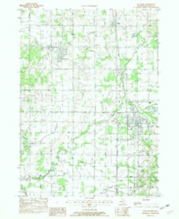
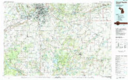
9 topographic sheets cover this place, the earliest surveyed in 1958 and the latest in 1984. It stands in Dorr Township. It lies in ZIP code area 49323. The Survey maps it on the Wayland quadrangle. 3,520 people lived here at the 2020 count. It stands 692 feet above sea level.
Topographic sheets covering this place
6 surveys from 9 printed sheetsMatched by testing this settlement's coordinate against the published boundary of every sheet in the United States Geological Survey's historical collection. Each opens the scanned sheet at the Survey.
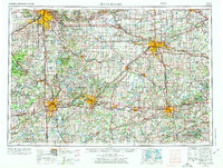
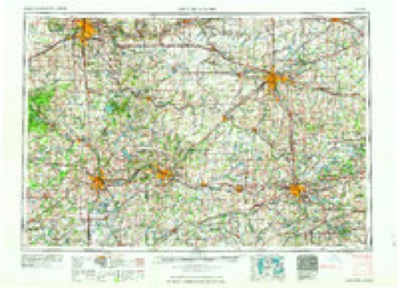
- 1958 USGS Grand Rapids quadrangle1:250000, 2 printings
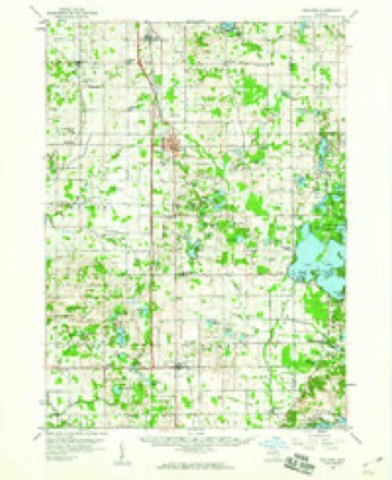
- 1959 USGS Wayland quadrangle1:62500, 2 printings
- 1961 USGS Grand Rapids quadrangle1:250000
- 1962 USGS Grand Rapids quadrangle1:250000, 2 printings
- 1982 USGS Wayland quadrangle1:24000
- 1984 USGS Grand Rapids quadrangle1:100000
What happened here
An account from the chapter on Dorr township. The inset identifies its exact source book and publication year.
Drowned In The Lake
Mention will be made in the history of Saugatuck of a calamity on the Kalamazoo River in 1841 whereby three children of John H. Billings, together with Mrs. Billings, were drowned. Three other children of Mr. Billings, in the boat on that occasion, were saved, but one of them, Ozias by name, seemed born under an adverse star, for he subsequently lost his life in Hutchins' Lake, in Ganges, while crossing on the ice.
In the county-history sources
94,632 words on this townshipHistory of Allegan and Barry Counties, Michigan, published 1880 names this settlement in its chapter on Dorr Township. These are the passages that mention it, exactly as the scans read.
RESIDENTS IN 1853. The following list comprises the names, etc., of all who were assessed as resident tax -payers in June, 1853. This was the first assessment made after the organization of Hopkins, and those here named may be considered the charter members, the real pioneers of the township of Dorr :
Passage source: History of Allegan and Barry Counties, Michigan, published 1880.
Since 1860, and more especially since the close of the war and the completion of the two different lines of railways, population has increased so rapidly that Dorr township of to-day is one of the most populous in Allegan County.
Passage source: History of Allegan and Barry Counties, Michigan, published 1880.
From the 23d of March, 1836, until the spring of 1842, the territory comprised within the present limits of Dorr formed part of Otsego township. Watson was formed in 1842, and included within its boundaries the present townships of Watson, Hopkins, and Dorr.
Passage source: History of Allegan and Barry Counties, Michigan, published 1880.
Machine-read from a century-old scan, so expect the errors a machine makes: misspelled names, dropped words, stray characters.
Read the whole chapter on Dorr Township - it names this place 24 more 24 times.
Fires near this place
19 since 1995Regional context, not property-specific evidence. The federal wildfire occurrence database lists 19 fires within 5 miles of Dorr between 1995 and 2020, burning about 20 acres in total. 1 started naturally. None was recorded as arson. Distance is straight-line from the map coordinates, so a fire counted here may appear on a neighbouring settlement's page as well.
| Reported cause | Fires |
|---|---|
| Missing data/not specified/undetermined | 8 |
| Equipment and vehicle use | 7 |
| Natural | 1 |
| Recreation and ceremony | 1 |
| Debris and open burning | 1 |
| Smoking | 1 |
The most recent of them, most recent first, with the day each was reported and the service that recorded it.
| Date | Cause | Size | Reported by | Name on the report |
|---|---|---|---|---|
| 13 September 1995 | Debris and open burning | under an acre | Michigan Department of Natural Resources | not named |
| 1 September 2019 | Natural | 1.0 acres | Michigan Department of Natural Resources | LEIGHTON TOWNSHIP FD 0000103 - 2019 |
| 13 August 2018 | Equipment and vehicle use | 1.0 acres | Michigan Department of Natural Resources | DORR TOWNSHIP FD 0000107 - 2018 |
| 20 July 2019 | Smoking | 1.0 acres | Michigan Department of Natural Resources | BYRON TOWNSHIP FD 639 - 2019 |
| 8 June 2020 | Missing data/not specified/undetermined | 1.0 acres | Michigan Department of Natural Resources | DORR TOWNSHIP FD 0000070 - 2020 |
| 15 June 2020 | Missing data/not specified/undetermined | 1.0 acres | Michigan Department of Natural Resources | BYRON TOWNSHIP FD 550 - 2020 |
| 5 May 2018 | Missing data/not specified/undetermined | 1.0 acres | Michigan Department of Natural Resources | DORR TOWNSHIP FD 0000067 - 2018 |
| 1 May 2018 | Missing data/not specified/undetermined | 1.0 acres | Michigan Department of Natural Resources | BYRON TOWNSHIP FD 371 - 2018 |
Settlements close enough to share some of these fires:
Mines and quarries near this place
1 within 5 milesRegional context, not property-specific evidence. The federal mineral resources record lists 1 working within 5 miles of Dorr: 1 past producer. None of them still produces. What was taken out: Sand and Gravel, Construction. Distance is straight-line from the map coordinates, so a quarry counted here may appear on a neighbouring settlement's page as well.
| Where | Site | Commodity | Status | Recorded |
|---|---|---|---|---|
| Flemming Gravel Co. Pit | Sand and Gravel, Construction | Past Producer |
Storms near this place
13 since 1997Regional context, not property-specific evidence. The National Weather Service names Dorr in 13 storm reports between 1997 and 2025: 10 thunderstorm wind, 3 hail. No death or injury is recorded in these reports. Each account below is quoted exactly as the forecast office filed it, from the NOAA Storm Events Database, and each date opens the federal record of that event.
| When | Event | Place named | Harm | What the report says |
|---|---|---|---|---|
| April 2020 | Hail | Dorr | $250,000 | The public reported very large hail up to hen egg size. |
| August 2021 | Thunderstorm Wind | Dorr | $100,000 | Numerous trees were blown down in and near Dorr. |
| June 2003 | Hail | Dorr | $25,000 | One inch diameter hail was reported in Dorr and three quarters inch hail fell in Wayland. |
| June 1999 | Thunderstorm Wind | Dorr | $25,000 | Wind damage from a thunderstorm included a snowmobile trailer that was blown across a yard, a fence that was blown down, and siding that was blown off a house. Several other homes and garages contained in the same subdivision sustained minor structural damage. One 2 car unattached garage was completely demolished. The damage path was 4,000 feet long and 200 feet wide. 3 trees were blown over. |
| June 2005 | Thunderstorm Wind | Dorr | $20,000 | no account filed |
| August 2003 | Thunderstorm Wind | Dorr | $10,000 | A report from Dorr indicated that several trees were blown down in that area. |
| June 1997 | Thunderstorm Wind | Dorr | $10,000 | A trained National Weather Service spotter reported trees downed in the Dorr area of Allegan County. |
| August 2002 | Thunderstorm Wind | Dorr | $7,000 | A thunderstorm wind gust blew over a camping trailer and also blew shingles off of homes. |
| September 1997 | Thunderstorm Wind | Dorr | $2,500 | A trained National Weather Service spotter reported 4-6 inch diameter tree limbs were knocked down by thunderstorm winds. |
| August 2001 | Thunderstorm Wind | Dorr | $1,000 | no account filed |
| May 2025 | Thunderstorm Wind | Dorr | - | A row of pine trees pushed over by wind. |
| July 2015 | Thunderstorm Wind | Dorr | - | A mesonet station in Dorr measured a 70 mph peak wind gust. |
| April 2010 | Hail | Dorr | - | Three quarters inch diameter hail was reported in Dorr. This report was relayed by the broadcast media and the hail lasted for eight to ten minutes. |
Nearest settlements
The eight closest, with where each one stands in the county. Distances are straight-line, computed from the Geographic Names Information System coordinates.
| Map | Place | Distance | Sheets |
|---|---|---|---|
| Moline | 3.3 miles | 9 | |
| Hilliards | 3.5 miles | 9 | |
| New Salem | 4.7 miles | 9 | |
| Sandy Pines | 5.3 miles | 9 | |
| Wayland | 5.4 miles | 9 | |
| Burnips | 6.2 miles | 9 | |
| Corning | 6.4 miles | 9 | |
| Green Lake | 6.6 miles | 9 |
Elsewhere
Matched on this settlement's Geographic Names Information System number rather than its name, so it cannot be a different place of the same name in another state.
| Wikidata item Q107121404 | The structured record the population and elevation above come from. Public domain (CC0). |
Provenance
This settlement is recorded in the Geographic Names Information System as feature 624797. The sheet list is computed by point-in-boundary test against the United States Geological Survey's historical topographic inventory. Both are works of the United States government and carry no copyright under 17 U.S.C. 105.
Wildfire. Short, Karen C. 2022. Spatial wildfire occurrence data for the United States, 1992-2020 [FPA_FOD_20221014]. 6th Edition. Fort Collins, CO: Forest Service Research Data Archive. https://doi.org/10.2737/RDS-2013-0009.6 Collected with United States Government funding and usable without additional permissions or fees.
Mines and quarries. USGS Mineral Resources Data System (MRDS) https://mrdata.usgs.gov/mrds/ A work of the United States government, no copyright under 17 U.S.C. 105.
Storms. NOAA National Centers for Environmental Information, Storm Events Database https://www.ncei.noaa.gov/stormevents/ A work of the United States government, no copyright under 17 U.S.C. 105. Narratives are quoted verbatim from the National Weather Service report and are not edited or summarised.