 Block
Essexville, Michigan
14 topographic sheets cover this place, the earliest surveyed in 1916 and the latest in 1984. It stands in Essexville City. It lies in ZIP code area 48732. The Survey maps it on the Essexville quadrangle. 3,379 people lived here at the 2020 count. It stands 584 feet above sea level.
Population over time
2 figuresEssexville fell from 3,478 to 3,379 between 2010 and 2020. These are the recorded population figures Wikidata holds for this place, reached through the Geographic Names Information System number this page is keyed on rather than by name, so they belong to this place and not to another of the same name. Most are census counts, but not all are: an early figure may be a founding or settlement estimate, and an estimate published within five years of a census is left out. The change column is computed, and is left blank where more than 20 years separate a figure from the one before it, because a gap that long is not a change between two counts.
| Year | People | Change |
|---|---|---|
| 2010 | 3,478 | |
| 2020 | 3,379 | -99 (-3%) |
Topographic sheets covering this place
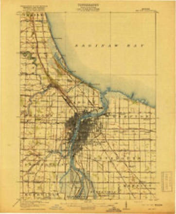
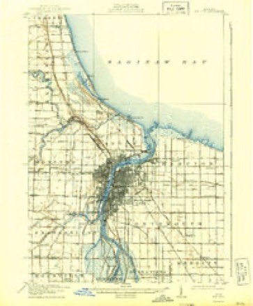
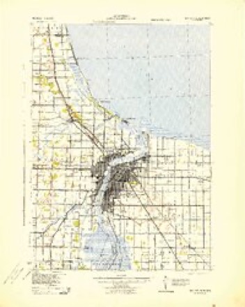
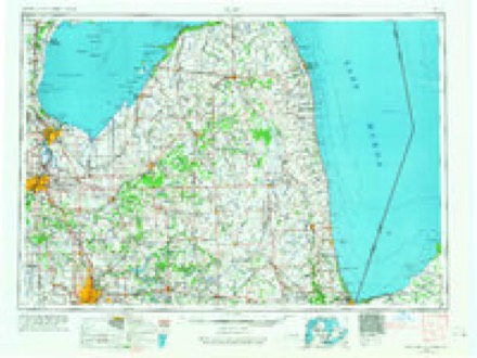
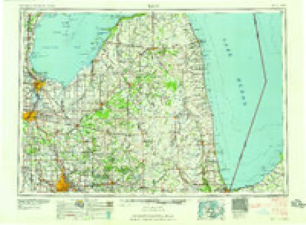
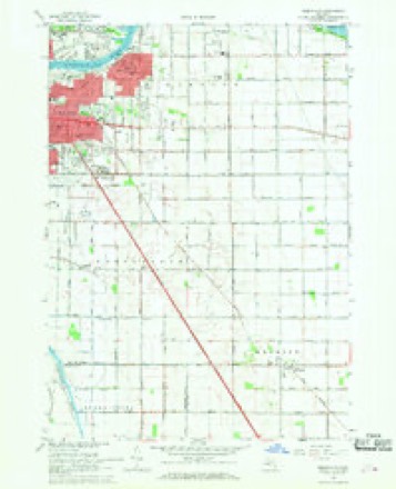
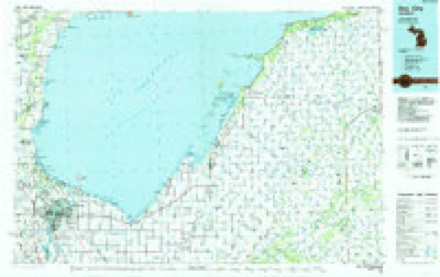
7 surveys from 14 printed sheetsMatched by testing this settlement's coordinate against the published boundary of every sheet in the United States Geological Survey's historical collection. Each opens the scanned sheet at the Survey.
- 1916 USGS Bay City quadrangle1:62500
- 1919 USGS Bay City quadrangle1:62500, 2 printings
- 1943 USGS Bay City quadrangle1:62500
- 1954 USGS Flint quadrangle1:250000, 4 printings
- 1958 USGS Flint quadrangle1:250000, 2 printings
- 1967 USGS Essexville quadrangle1:24000, 3 printings
- 1984 USGS Bay City quadrangle1:100000
What happened here
An account from the chapter on Essexville city. The inset identifies its exact source book and publication year.
Sydney S. Campbell
or Judge Campbell, as he is generally called, was unquestionably the first to locate in Lower Saginaw and effect a permanent settle¬ ment, after the town was projected. He was born at Paris, Oneida and the following day killed a large buck on the opposite side of the river, the last one that he saw for five years.
In the county-history sources
76,971 words on this townshipHistory of Bay County Michigan, published 1883 names this settlement in its chapter on Essexville City. These are the passages that mention it, exactly as the scans read.
Jefferson County, Pa., February 14, 1839, where he remained until 1877, engaged in lumbering. He then removed to Bay City, where he again engaged in the lumber business, having a large mill at Essexville. He is also building a pulp mill in Wisconsin, which will be managed by his eldest son. Mr. Carrier is one of the most enterprising lumbermen of the Valley. He was married May 15, 1861, to Catherine E. Robinson, of Jefferson County, Pa., and has a family of four sons and three daughters. His residence is corner of Fourth and Farragut Streets, Bay City.
Passage source: History of Bay County Michigan, published 1883.
This village was founded by Bansom P. Essex, whose early settlement in Hampton has already been mentioned. In 1867 lie had a tract of eight acres surveyed and laid out into village lots. The territory platted was the west half of the northeast quarter of the southeast fractional quarter of fractional Section Fourteen, Town Fourteen north, of Range Five east. The name he gave to the place was "Essex," but people drifted into the habit of attaching a "ville," and the village became known as Essexville. Mr. Essex afterward platted an addition to the village.
Passage source: History of Bay County Michigan, published 1883.
Joseph Hudson lives upon the land he first purchased. His house is now at the edge of the village. Aside from Iris farm he owns considerable village property. He has held all the township offices, excepting that of supervisor, and is a trustee of the village of Essexville for the year 1888.
Passage source: History of Bay County Michigan, published 1883.
Machine-read from a century-old scan, so expect the errors a machine makes: misspelled names, dropped words, stray characters.
Read the whole chapter on Essexville City - it names this place 21 more 21 times.
Fires near this place
38 since 2006Regional context, not property-specific evidence. The federal wildfire occurrence database lists 38 fires within 5 miles of Essexville between 2006 and 2020, burning about 101 acres in total. 7 started naturally. None was recorded as arson. Distance is straight-line from the map coordinates, so a fire counted here may appear on a neighbouring settlement's page as well.
| Reported cause | Fires |
|---|---|
| Missing data/not specified/undetermined | 16 |
| Equipment and vehicle use | 15 |
| Natural | 7 |
The most recent of them, most recent first, with the day each was reported and the service that recorded it.
| Date | Cause | Size | Reported by | Name on the report |
|---|---|---|---|---|
| 28 September 2018 | Equipment and vehicle use | 1.0 acres | Michigan Department of Natural Resources | BAY CITY FIRE/RESCUE 0003908 - 2018 |
| 18 September 2019 | Equipment and vehicle use | 1.0 acres | Michigan Department of Natural Resources | BAY CITY FIRE/RESCUE 0010824 - 2019 |
| 13 September 2018 | Natural | 1.0 acres | Michigan Department of Natural Resources | MONITOR TOWNSHIP FD 920 - 2018 |
| 31 August 2019 | Equipment and vehicle use | 1.0 acres | Michigan Department of Natural Resources | MONITOR TOWNSHIP FD 792 - 2019 |
| 30 August 2020 | Equipment and vehicle use | 1.0 acres | Michigan Department of Natural Resources | MONITOR TOWNSHIP FD 684 - 2020 |
| 29 August 2019 | Missing data/not specified/undetermined | 1.0 acres | Michigan Department of Natural Resources | MONITOR TOWNSHIP FD 785 - 2019 |
| 14 August 2019 | Natural | 1.0 acres | Michigan Department of Natural Resources | HAMPTON TOWNSHIP FD 0000769 - 2019 |
| 13 August 2020 | Missing data/not specified/undetermined | 1.0 acres | Michigan Department of Natural Resources | HAMPTON TOWNSHIP FD 644 - 2020 |
Settlements close enough to share some of these fires:
Mines and quarries near this place
2 within 5 milesRegional context, not property-specific evidence. The federal mineral resources record lists 2 workings within 5 miles of Essexville: 1 prospect, 1 producer. 1 still produces. What was taken out: Clay, Stone. Distance is straight-line from the map coordinates, so a quarry counted here may appear on a neighbouring settlement's page as well.
| Where | Site | Commodity | Status | Recorded |
|---|---|---|---|---|
| Aetna | Stone | Producer | ||
| Winona Coal Co Shale Prospect | Clay | Prospect |
Storms near this place
10 since 2002Regional context, not property-specific evidence. The National Weather Service names Essexville in 10 storm reports between 2002 and 2022: 6 thunderstorm wind, 2 hail, 1 lightning, 1 flood. No death or injury is recorded in these reports. Each account below is quoted exactly as the forecast office filed it, from the NOAA Storm Events Database, and each date opens the federal record of that event.
| When | Event | Place named | Harm | What the report says |
|---|---|---|---|---|
| May 2007 | Thunderstorm Wind | Essexville | $1,500,000 | A local newspaper reported that a coal stacker at the Karn-Weadock power plant was destroyed after being toppled by thunderstorm winds. A plant spokesman estimated wind gusts at 80 MPH. Total damages were estimated at roughly $1.5M. |
| August 2012 | Flood | Essexville | $500,000 | no account filed |
| June 2022 | Thunderstorm Wind | Essexville | $50,000 | Bay County Central Dispatch reported numerous wires and trees down throughout the county. Just under 20 percent of the consumers energy customers lost power in Bay county. |
| July 2005 | Lightning | Essexville | $50,000 | Lightning struck a home in Hampton Township, which resulted in a fire. The fire extensively damaged the outside of the house and the second floor. |
| September 2021 | Thunderstorm Wind | Essexville | - | Six to eight inch diameter tree limbs reported down. |
| June 2011 | Thunderstorm Wind | Essexville | - | Several trees blown down. |
| August 2002 | Thunderstorm Wind | Essexville | - | Trained spotters reported several large trees and power lines blown down in thunderstorm winds. |
| October 2006 | Hail | Essexville | - | no account filed |
| June 2005 | Hail | Essexville | - | no account filed |
| September 2002 | Thunderstorm Wind | Essexville | - | no account filed |
Nearest settlements
The eight closest, with where each one stands in the county. Distances are straight-line, computed from the Geographic Names Information System coordinates.
| Map | Place | Distance | Sheets |
|---|---|---|---|
| Bangor (historical) | 1.2 miles | 14 | |
| Bay City | 2.9 miles | 13 | |
| Aplin Beach | 2.9 miles | 13 | |
| West Bay City | 3.2 miles | 13 | |
| Donahue Beach | 3.5 miles | 14 | |
| Lagoon Beach | 4.1 miles | 14 | |
| Tobico Beach | 5.6 miles | 14 | |
| Kawkawlin | 5.9 miles | 14 |
Elsewhere
Matched on this settlement's Geographic Names Information System number rather than its name, so it cannot be a different place of the same name in another state.
| Wikipedia article on Essexville | An encyclopaedic summary. Its text is share-alike, so it is linked here rather than copied. |
| Wikidata item Q603614 | The structured record the population and elevation above come from. Public domain (CC0). |
Provenance
This settlement is recorded in the Geographic Names Information System as feature 625647. The sheet list is computed by point-in-boundary test against the United States Geological Survey's historical topographic inventory. Both are works of the United States government and carry no copyright under 17 U.S.C. 105.
Wildfire. Short, Karen C. 2022. Spatial wildfire occurrence data for the United States, 1992-2020 [FPA_FOD_20221014]. 6th Edition. Fort Collins, CO: Forest Service Research Data Archive. https://doi.org/10.2737/RDS-2013-0009.6 Collected with United States Government funding and usable without additional permissions or fees.
Mines and quarries. USGS Mineral Resources Data System (MRDS) https://mrdata.usgs.gov/mrds/ A work of the United States government, no copyright under 17 U.S.C. 105.
Storms. NOAA National Centers for Environmental Information, Storm Events Database https://www.ncei.noaa.gov/stormevents/ A work of the United States government, no copyright under 17 U.S.C. 105. Narratives are quoted verbatim from the National Weather Service report and are not edited or summarised.