 Block
Jacobsville, Michigan
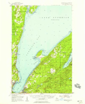
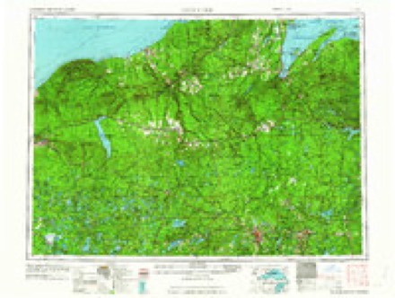
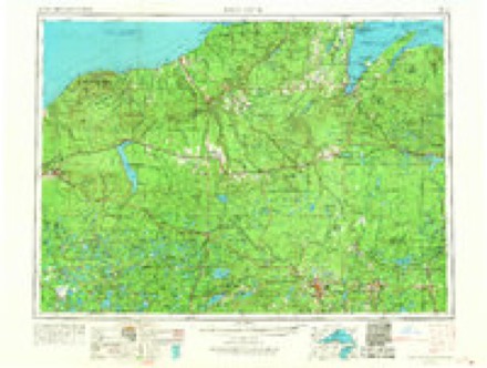
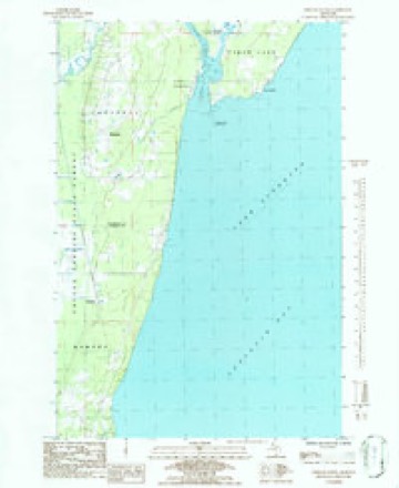
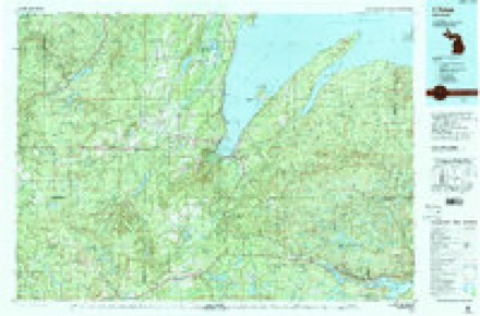
12 topographic sheets cover this place, the earliest surveyed in 1954 and the latest in 1991. It stands in Torch Lake Township. It lies in ZIP code area 49945. The Survey maps it on the Portage Entry quadrangle.
On record in Jacobsville
Buildings and businesses the archive holds for this place. Each opens its own page, with the source record it came from.
On the National Register 1 record
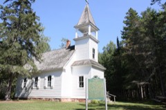 Jacobsville Finnish Lutheran Churchlisted 1976
Topographic sheets covering this place
7 surveys from 12 printed sheetsMatched by testing this settlement's coordinate against the published boundary of every sheet in the United States Geological Survey's historical collection. Each opens the scanned sheet at the Survey.
- 1954 USGS Keweenaw Bay quadrangle1:62500, 3 printings
- 1958 USGS Iron River quadrangle1:250000, 3 printings
- 1960 USGS Iron River quadrangle1:250000
- 1961 USGS Iron River quadrangle1:250000
- 1967 USGS Iron River quadrangle1:250000
- 1984 USGS Portage Entry quadrangle1:24000
- 1991 USGS L'Anse quadrangle1:100000, 2 printings
Storms near this place
12 since 2007Regional context, not property-specific evidence. The National Weather Service names Jacobsville in 12 storm reports between 2007 and 2017: 6 hail, 3 thunderstorm wind, 2 heavy rain, 1 flood. No death or injury is recorded in these reports. Each account below is quoted exactly as the forecast office filed it, from the NOAA Storm Events Database, and each date opens the federal record of that event.
| When | Event | Place named | Harm | What the report says |
|---|---|---|---|---|
| July 2016 | Thunderstorm Wind | Jacobsville | $30,000 | There was a delayed report via social media of multiple large trees down or snapped on either side of the Portage Canal near Jacobsville. Some trees were down on vehicles and structures. |
| June 2013 | Thunderstorm Wind | Jacobsville | $3,000 | Trees down across Kuusisto Road and Hidden Acres Road. The Houghton County Emergency Manager also reported trees down and power outages across the county. |
| October 2017 | Flood | Jacobsville | $1,000 | A spotter reported a 75-100 foot stretch of water flowing over Bootjack Road at Silver Creek. The flooding resulted from two to three inches of rainfall over a 24-hour period. |
| September 2007 | Thunderstorm Wind | Jacobsville | $1,000 | Five nine-inch diameter trees blown down. |
| July 2016 | Hail | Jacobsville | - | The observer near Jacobsville observed nickel-sized hail. |
| August 2014 | Heavy Rain | Jacobsville | - | The Jacobsville observer measured one inch of rainfall in 12 hours. |
| October 2014 | Hail | Jacobsville | - | Dime-sized hail was reported by the observer near Jacobsville. |
| March 2012 | Hail | Jacobsville | - | The observer near Chassell reported mainly pea-sized hailstones to a depth of one-half inch. Some of the stones were dime-sized. |
| July 2011 | Hail | Jacobsville | - | Pea to penny-sized hail was observed. |
| July 2011 | Hail | Jacobsville | - | Most of the hail observed was between dime and quarter-sized, but a few stones were the size of golf balls. In addition...wind gusts were estimated around 40 mph. |
| May 2011 | Heavy Rain | Jacobsville | - | Observer east of Chassell measured 1.25 inches of rain. Most of the rain fell within a 15-minute period with rainfall rates of nearly 4 inches per hour recorded. |
| May 2012 | Hail | Jacobsville | - | no account filed |
Nearest settlements
The eight closest, with where each one stands in the county. Distances are straight-line, computed from the Geographic Names Information System coordinates.
| Map | Place | Distance | Sheets |
|---|---|---|---|
| White City | 0.8 miles | 12 | |
| Portage Entry | 1.6 miles | 12 | |
| Klingville | 3.7 miles | 12 | |
| Rabbit Bay | 6.4 miles | 11 | |
| Chassell | 6.9 miles | 19 | |
| Dreamland | 8.1 miles | 12 | |
| Point Mills | 8.5 miles | 12 | |
| Senter | 8.7 miles | 12 |
Elsewhere
Matched on this settlement's Geographic Names Information System number rather than its name, so it cannot be a different place of the same name in another state.
| Wikidata item Q42383243 | The structured record the population and elevation above come from. Public domain (CC0). |
Provenance
This settlement is recorded in the Geographic Names Information System as feature 629192. The sheet list is computed by point-in-boundary test against the United States Geological Survey's historical topographic inventory. Both are works of the United States government and carry no copyright under 17 U.S.C. 105.
Storms. NOAA National Centers for Environmental Information, Storm Events Database https://www.ncei.noaa.gov/stormevents/ A work of the United States government, no copyright under 17 U.S.C. 105. Narratives are quoted verbatim from the National Weather Service report and are not edited or summarised.