 Block
Albertville, Minnesota
15 topographic sheets cover this place, the earliest surveyed in 1909 and the latest in 1991. It stands in Albertville City. It lies in ZIP code area 55301. The Survey maps it on the Saint Michael quadrangle. 7,896 people lived here at the 2020 count. It stands 961 feet above sea level.
On record in Albertville
Buildings and businesses the archive holds for this place. Each opens its own page, with the source record it came from.
On the National Register 1 record
- Albertville Roller Milllisted 1979
Population over time
2 figuresAlbertville grew from 7,044 to 7,896 between 2010 and 2020. These are the recorded population figures Wikidata holds for this place, reached through the Geographic Names Information System number this page is keyed on rather than by name, so they belong to this place and not to another of the same name. Most are census counts, but not all are: an early figure may be a founding or settlement estimate, and an estimate published within five years of a census is left out. The change column is computed, and is left blank where more than 20 years separate a figure from the one before it, because a gap that long is not a change between two counts.
| Year | People | Change |
|---|---|---|
| 2010 | 7,044 | |
| 2020 | 7,896 | +852 (+12%) |
Topographic sheets covering this place
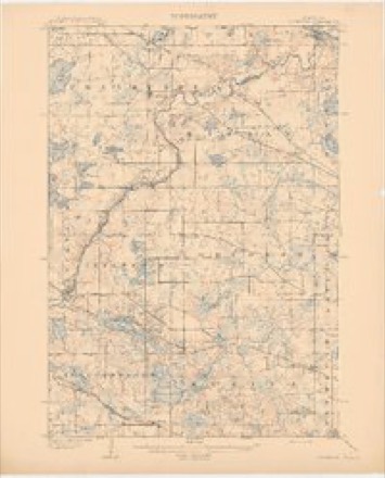
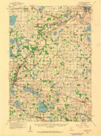
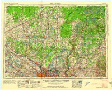
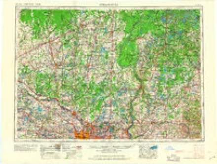
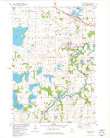
11 surveys from 15 printed sheetsMatched by testing this settlement's coordinate against the published boundary of every sheet in the United States Geological Survey's historical collection. Each opens the scanned sheet at the Survey.
- 1909 USGS Rockford quadrangle1:62500, 2 printings
- 1953 USGS Stillwater quadrangle1:250000
- 1955 USGS Stillwater quadrangle1:250000
- 1958 USGS Rockford quadrangle1:62500, 2 printings
- 1958 USGS Stillwater quadrangle1:250000, 2 printings
- 1965 USGS Stillwater quadrangle1:250000
- 1975 USGS Stillwater quadrangle1:250000, 2 printings
- 1981 USGS St Michael quadrangle1:24000
- 1985 USGS Anoka quadrangle1:100000
- 1991 USGS Anoka quadrangle1:100000
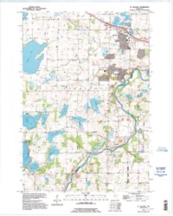
- 1991 USGS St Michael quadrangle1:24000
In the county-history sources
2,477 words on this townshipHistory of Wright County, Minnesota Volume II, published 1915 names this settlement in its chapter on Albertville City. These are the passages that mention it, exactly as the scans read.
Albertville, formerly called St. Michael Station or St. Michael's Station, is an enterprising business center, and an excellent trading point for a good farming district. The village is ineorporated, connected with the outside world by both telephone and telegraph and has excellent schools. Its business men are up and doing, carry large, well selected stocks and are making a bid for patronage in the way of prices that is felt in all sections. Albertville has about 450 inhabitants and is surrounded with as desirable farm lands as are to be found in this great state. It is located on the Great Northern railroad, fifteen miles northeast of Buffalo, the county seat. Lately the city has built cement walks on her principal streets which add much to her appearance. Large quantities of grain, live stock, potatoes, butter and eggs are shipped from here every year.
Passage source: History of Wright County, Minnesota Volume II, published 1915.
Machine-read from a century-old scan, so expect the errors a machine makes: misspelled names, dropped words, stray characters.
Read the whole chapter on Albertville City - it names this place 2 more 2 times.
Fires near this place
11 since 1993Regional context, not property-specific evidence. The federal wildfire occurrence database lists 11 fires within 5 miles of Albertville between 1993 and 2015, burning about 33 acres in total. None started naturally. 2 were recorded as arson. Distance is straight-line from the map coordinates, so a fire counted here may appear on a neighbouring settlement's page as well.
| Reported cause | Fires |
|---|---|
| Debris and open burning | 6 |
| Arson/incendiarism | 2 |
| Recreation and ceremony | 1 |
| Missing data/not specified/undetermined | 1 |
| Smoking | 1 |
The most recent of them, most recent first, with the day each was reported and the service that recorded it.
| Date | Cause | Size | Reported by | Name on the report |
|---|---|---|---|---|
| 29 April 2010 | Arson/incendiarism | under an acre | Minnesota Department of Natural Resources | not named |
| 29 April 2010 | Arson/incendiarism | under an acre | Minnesota Department of Natural Resources | not named |
| 18 April 1993 | Debris and open burning | under an acre | Minnesota Department of Natural Resources | not named |
| 13 April 1997 | Debris and open burning | under an acre | Minnesota Department of Natural Resources | not named |
| 12 April 1997 | Debris and open burning | 1.0 acres | Minnesota Department of Natural Resources | not named |
| 11 April 2010 | Debris and open burning | 10 acres | Minnesota Department of Natural Resources | not named |
| 10 April 2010 | Smoking | under an acre | Minnesota Department of Natural Resources | not named |
| 28 March 2015 | Missing data/not specified/undetermined | 19 acres | Minnesota Department of Natural Resources | not named |
Settlements close enough to share some of these fires:
Mines and quarries near this place
1 within 5 milesRegional context, not property-specific evidence. The federal mineral resources record lists 1 working within 5 miles of Albertville: 1 producer. All of them still produce. What was taken out: Sand and Gravel, Construction. Distance is straight-line from the map coordinates, so a quarry counted here may appear on a neighbouring settlement's page as well.
| Where | Site | Commodity | Status | Recorded |
|---|---|---|---|---|
| Barthel Pit | Sand and Gravel, Construction | Producer |
Storms near this place
23 since 1997Regional context, not property-specific evidence. The National Weather Service names Albertville in 23 storm reports between 1997 and 2025: 10 hail, 9 thunderstorm wind, 2 heavy rain, 1 tornado. No death or injury is recorded in these reports. Each account below is quoted exactly as the forecast office filed it, from the NOAA Storm Events Database, and each date opens the federal record of that event.
| When | Event | Place named | Harm | What the report says |
|---|---|---|---|---|
| September 2002 | Tornado (F1) | Albertville | $1,400,000 | A rare late night tornado struck a subdivision in Albertville. According to a damage survey conducted by NWS personnel, it touched down on the eastern edge of Cedar Creek Golf Course, trekked straight east, and dissipated in a city park just west of the railroad tracks. It completely tore the roof off of one home. Roofs were partially off a number of other homes, many attached garages collapsed, and a couple of houses were rotated on their foundation. About 20 homes were damaged, nine of which sustained significant damage. |
| July 2025 | Thunderstorm Wind | Albertville | - | Reports of a tree down between St Michael and Albertville. |
| July 2024 | Thunderstorm Wind | Albertville | - | Trees down in Albertville. |
| August 2024 | Thunderstorm Wind | Albertville | - | County dispatch reported light pole down in Albertville. |
| May 2012 | Heavy Rain | Albertville | - | A local observer measured 3.73 inches in the last 24 hours. |
| May 2012 | Heavy Rain | Albertville | - | A local observer measured 3.48 inches in the last 24 hours. |
| August 2012 | Thunderstorm Wind | Albertville | - | A street light was blown down in Albertville. |
| July 2008 | Thunderstorm Wind | Albertville | - | Twelve inch diameter tree toppled blocking road at intersection of Highway 37 and Interstate 94. |
| May 2008 | Hail | Albertville | - | Vehicle and roof damage also reported. |
| June 2007 | Thunderstorm Wind | Albertville | - | Three to four inch branches felled. |
| September 2006 | Hail | Albertville | - | Hail occurred along Interstate 94. |
| June 2005 | Hail | Albertville | - | Penny sized hail fell in Otsego Township. |
| September 2005 | Thunderstorm Wind | Albertville | - | Few trees down, some over roads. |
| September 2005 | Hail | Albertville | - | Hail dented siding and broke windows. |
| June 2003 | Flash Flood | Albertville | - | County wide flooding. Six to twelve inches of rain were unofficaially recorded across much of Wright county. The heaviest rainfall was in the eastern portions of the county. Many streets were impassable in the areas around Albertville, Otsego, and St Michael. Some roads were washed out. Many basements were flooded, including a few where the water level reached the basement ceiling. Sandbagging of homes was necessary at the Albert Villas in Albertville. Many crops were under water. |
| July 1997 | Thunderstorm Wind | Albertville | - | Numerous trees blown down. Scattered roof damage. In neighboring Otsego, silos toppled and a mobile home destroyed. Roof damage in Otsego and St. Michael. Several Otsego elementary schools experience roof damage. Estimated windspeed. |
| August 1997 | Thunderstorm Wind | Albertville | - | Trees blown down. Estimated windspeed. |
| May 2022 | Hail | Albertville | - | no account filed |
| May 2011 | Hail | Albertville | - | no account filed |
| May 2008 | Hail | Albertville | - | no account filed |
| May 2008 | Hail | Albertville | - | no account filed |
| May 2008 | Hail | Albertville | - | no account filed |
| May 2008 | Hail | Albertville | - | no account filed |
Nearest settlements
The eight closest, with where each one stands in the county. Distances are straight-line, computed from the Geographic Names Information System coordinates.
| Map | Place | Distance | Sheets |
|---|---|---|---|
| Saint Michael | 2.0 miles | 15 | |
| Otsego | 4.2 miles | 13 | |
| Hanover | 5.7 miles | 15 | |
| Monticello | 8.8 miles | 16 | |
| Rockford | 11.1 miles | 15 | |
| Buffalo Manor East | 11.6 miles | 12 | |
| Rockford Riverview Estates | 11.6 miles | 15 | |
| Bufflao Manor | 11.7 miles | 12 |
Elsewhere
Matched on this settlement's Geographic Names Information System number rather than its name, so it cannot be a different place of the same name in another state.
| Wikipedia article on Albertville | An encyclopaedic summary. Its text is share-alike, so it is linked here rather than copied. |
| Wikidata item Q2009839 | The structured record the population and elevation above come from. Public domain (CC0). |
Provenance
This settlement is recorded in the Geographic Names Information System as feature 639253. The sheet list is computed by point-in-boundary test against the United States Geological Survey's historical topographic inventory. Both are works of the United States government and carry no copyright under 17 U.S.C. 105.
Wildfire. Short, Karen C. 2022. Spatial wildfire occurrence data for the United States, 1992-2020 [FPA_FOD_20221014]. 6th Edition. Fort Collins, CO: Forest Service Research Data Archive. https://doi.org/10.2737/RDS-2013-0009.6 Collected with United States Government funding and usable without additional permissions or fees.
Mines and quarries. USGS Mineral Resources Data System (MRDS) https://mrdata.usgs.gov/mrds/ A work of the United States government, no copyright under 17 U.S.C. 105.
Storms. NOAA National Centers for Environmental Information, Storm Events Database https://www.ncei.noaa.gov/stormevents/ A work of the United States government, no copyright under 17 U.S.C. 105. Narratives are quoted verbatim from the National Weather Service report and are not edited or summarised.