 Block
Beaver Falls, Minnesota
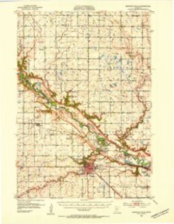
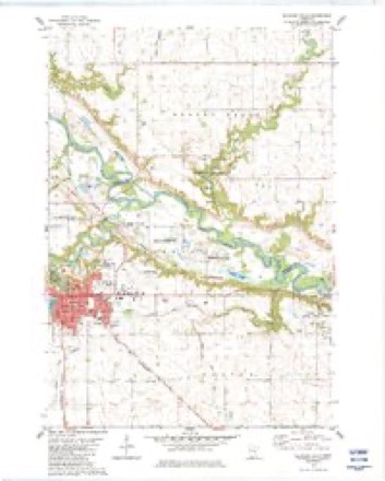
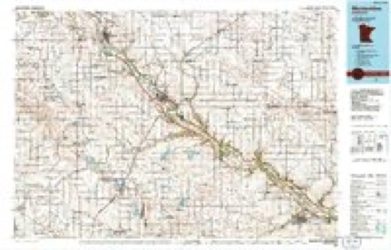
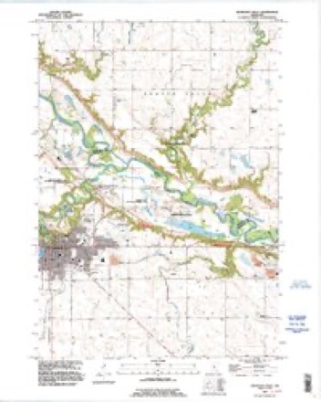
13 topographic sheets cover this place, the earliest surveyed in 1952 and the latest in 1992. It stands in Beaver Falls Township. It lies in ZIP code area 56270. The Survey maps it on the Redwood Falls quadrangle. It stands 922 feet above sea level.
Topographic sheets covering this place
8 surveys from 13 printed sheetsMatched by testing this settlement's coordinate against the published boundary of every sheet in the United States Geological Survey's historical collection. Each opens the scanned sheet at the Survey.
- 1952 USGS Redwood Falls quadrangle1:62500, 2 printings
- 1953 USGS New Ulm quadrangle1:250000, 3 printings
- 1957 USGS New Ulm quadrangle1:250000
- 1958 USGS New Ulm quadrangle1:250000
- 1967 USGS New Ulm quadrangle1:250000
- 1982 USGS Redwood Falls quadrangle1:24000, 2 printings
- 1986 USGS Montevideo quadrangle1:100000, 2 printings
- 1992 USGS Redwood Falls quadrangle1:24000




In the county-history sources
1,361 words on this townshipThe History of Renville County, Minnesota, published 1916 names this settlement in its chapter on Beaver Falls Township. These are the passages that mention it, exactly as the scans read.
Before the Massacre an attempt was made to give the name "Upson" to the township, but after the county was organized the name of Beaver was given. This has never been officially changed. But the village was named Beaver Falls and gradually the name of the village came to be applied to the township. When the town was organized April 2, 1S67. it took in all of range 35 lying within the county. It has had its present boundaries since 1875. The first township election was held in 1S67 at the store of C. Prignitz in Beaver Falls village.
Passage source: The History of Renville County, Minnesota, published 1916.
Beaver Falls Village, the first county seat of Renville county, was admirably situated on Beaver creek, one and a half miles from the Minnesota river in a circular valley, half a mile in extent, and surrounded by high bluffs. The first settler in the village was David Carrothers. who, with Col. Samuel McPhail. platted the village July 25. 1S66. In January. 1>67. Col. McPhail disposed of his interests to William C. Essler.
Passage source: The History of Renville County, Minnesota, published 1916.
The first house was built by David Carrothers. The first general store was opened by Christian Pregnitz. The first hotel was red by Louis Thiele. The first sawmill and gristmill in the village was that of Reid & Son. The first wagon shop was owned by Reinhold Hummel, followed soon afterward by Jerry P. Patten and Eben Snell in the same business: the first blacksmith shop by Henry Hippel; the first drug store by J. W. Barnard; the first shingle mill by R. G. Weed: the first brewery by Henry Lump; the first meat market by D. J. Deasy; the first hardware store by John and P. W. Heins. The first banker was Hans Gronnerud : the first physician was Dr. T. H. Sherwin: the first attorney was P. H. Swift, the next George H. Megquier: the first postoffice was opened with M. S. Spicer as postmaster. It was discontinued in 1902 when Philip Meier was postmaster. The first church was the Methodist Episcopal, organized by Elder N. Swift: the next was the Episcopal. The cemetery is controlled by the Beaver Falls Cemetery Association.
Passage source: The History of Renville County, Minnesota, published 1916.
Machine-read from a century-old scan, so expect the errors a machine makes: misspelled names, dropped words, stray characters.
Read the whole chapter on Beaver Falls Township - it names this place 4 more 4 times.
Fires near this place
1 since 2014Regional context, not property-specific evidence. The federal wildfire occurrence database lists 1 fire within 5 miles of Beaver Falls in 2014, burning about 1 acre in total. None started naturally. 1 was recorded as arson. Distance is straight-line from the map coordinates, so a fire counted here may appear on a neighbouring settlement's page as well.
| Reported cause | Fires |
|---|---|
| Arson/incendiarism | 1 |
The most recent of them, most recent first, with the day each was reported and the service that recorded it.
| Date | Cause | Size | Reported by | Name on the report |
|---|---|---|---|---|
| 6 July 2014 | Arson/incendiarism | 1.0 acres | Minnesota Department of Natural Resources | not named |
Settlements close enough to share some of these fires:
Mines and quarries near this place
6 within 5 milesRegional context, not property-specific evidence. The federal mineral resources record lists 6 workings within 5 miles of Beaver Falls: 5 producers, 1 occurrence. 5 still produce. What was taken out: Sand and Gravel, Construction, Kaolin, Clay, Stone, Crushed/Broken. Distance is straight-line from the map coordinates, so a quarry counted here may appear on a neighbouring settlement's page as well.
| Where | Site | Commodity | Status | Recorded |
|---|---|---|---|---|
| Minnesota River Valley Clays | Aluminum, Iron, Silica, Titanium, Water, Free | Occurrence | ||
| Morton Pit | Kaolin | Producer | Gibbsite, Illite, Kaolinite, Montmorillonite, Quartz | |
| Norton Clay Pit | Clay | Producer | ||
| Rainbow Quarry | Stone, Crushed/Broken | Producer | ||
| Bartel Pit and Mill | Sand and Gravel, Construction | Producer | ||
| Serbus Mill | Sand and Gravel, Construction | Producer |
Storms near this place
1 since 2012Regional context, not property-specific evidence. The National Weather Service names Beaver Falls in 1 storm report in 2012: 1 hail. No death or injury is recorded in these reports. Each account below is quoted exactly as the forecast office filed it, from the NOAA Storm Events Database, and each date opens the federal record of that event.
| When | Event | Place named | Harm | What the report says |
|---|---|---|---|---|
| May 2012 | Hail | Beaver Falls | - | no account filed |
Nearest settlements
The eight closest, with where each one stands in the county. Distances are straight-line, computed from the Geographic Names Information System coordinates.
Elsewhere
Matched on this settlement's Geographic Names Information System number rather than its name, so it cannot be a different place of the same name in another state.
| Wikipedia article on Beaver Falls | An encyclopaedic summary. Its text is share-alike, so it is linked here rather than copied. |
| Wikidata item Q22033162 | The structured record the population and elevation above come from. Public domain (CC0). |
Provenance
This settlement is recorded in the Geographic Names Information System as feature 639830. The sheet list is computed by point-in-boundary test against the United States Geological Survey's historical topographic inventory. Both are works of the United States government and carry no copyright under 17 U.S.C. 105.
Wildfire. Short, Karen C. 2022. Spatial wildfire occurrence data for the United States, 1992-2020 [FPA_FOD_20221014]. 6th Edition. Fort Collins, CO: Forest Service Research Data Archive. https://doi.org/10.2737/RDS-2013-0009.6 Collected with United States Government funding and usable without additional permissions or fees.
Mines and quarries. USGS Mineral Resources Data System (MRDS) https://mrdata.usgs.gov/mrds/ A work of the United States government, no copyright under 17 U.S.C. 105.
Storms. NOAA National Centers for Environmental Information, Storm Events Database https://www.ncei.noaa.gov/stormevents/ A work of the United States government, no copyright under 17 U.S.C. 105. Narratives are quoted verbatim from the National Weather Service report and are not edited or summarised.