 Block
Brownton, Minnesota
10 topographic sheets cover this place, the earliest surveyed in 1953 and the latest in 1986. It stands in Brownton City. It lies in ZIP code area 55312. The Survey maps it on the Brownton quadrangle. 731 people lived here at the 2020 count. It stands 1,030 feet above sea level.
Population over time
2 figuresBrownton fell from 762 to 731 between 2010 and 2020. These are the recorded population figures Wikidata holds for this place, reached through the Geographic Names Information System number this page is keyed on rather than by name, so they belong to this place and not to another of the same name. Most are census counts, but not all are: an early figure may be a founding or settlement estimate, and an estimate published within five years of a census is left out. The change column is computed, and is left blank where more than 20 years separate a figure from the one before it, because a gap that long is not a change between two counts.
| Year | People | Change |
|---|---|---|
| 2010 | 762 | |
| 2020 | 731 | -31 (-4%) |
Topographic sheets covering this place
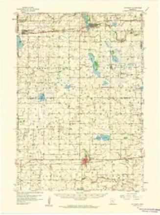
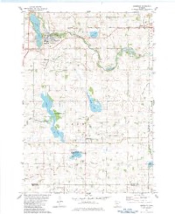
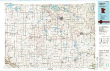
7 surveys from 10 printed sheetsMatched by testing this settlement's coordinate against the published boundary of every sheet in the United States Geological Survey's historical collection. Each opens the scanned sheet at the Survey.
- 1953 USGS New Ulm quadrangle1:250000, 3 printings
- 1957 USGS New Ulm quadrangle1:250000
- 1958 USGS New Ulm quadrangle1:250000
- 1958 USGS Winthrop quadrangle1:62500
- 1967 USGS New Ulm quadrangle1:250000
- 1982 USGS Brownton quadrangle1:24000
- 1986 USGS Glencoe quadrangle1:100000, 2 printings




Mines and quarries near this place
1 within 5 milesRegional context, not property-specific evidence. The federal mineral resources record lists 1 working within 5 miles of Brownton: 1 producer. All of them still produce. What was taken out: Sand and Gravel, Construction. Distance is straight-line from the map coordinates, so a quarry counted here may appear on a neighbouring settlement's page as well.
| Where | Site | Commodity | Status | Recorded |
|---|---|---|---|---|
| Reed's Pit | Sand and Gravel, Construction | Producer |
Storms near this place
53 since 1994Regional context, not property-specific evidence. The National Weather Service names Brownton in 53 storm reports between 1994 and 2023: 22 hail, 19 thunderstorm wind, 3 tornado, 3 heavy rain. The reports record 2 injuries. Each account below is quoted exactly as the forecast office filed it, from the NOAA Storm Events Database, and each date opens the federal record of that event.
| When | Event | Place named | Harm | What the report says |
|---|---|---|---|---|
| July 2011 | Thunderstorm Wind | Brownton | 1 hurt | Numerous large trees uprooted around town. A mini van was crushed due to a fallen tree. Plus, an eight year old girl was injured due to falling debris. |
| July 2011 | Thunderstorm Wind | Brownton | 1 hurt | A semi trailer was blown off the road due to a severe thunderstorm outflow boundary. It was on County Road 15, three miles south of the intersection of State Road 212 and County Road 15. The driver was injured due to the crash. |
| March 2010 | Flood | Brownton | $190,000 | An ice jam along the Buffalo Creek in Mcleod County caused flooding on Division Street in Brownton. In addition, county officials reported 16 partially blocked county roads throughout Mcleod County due to flooding along Buffalo Creek. At least one home had basement flooding due to flood waters. By the 18th of March, the flood waters from the Buffalo Creek reached Glencoe which flooded 100th Street. |
| August 2020 | Tornado (EF0) | Brownton | $100,000 | An NWS survey found damage consistent with an EF-0 tornado in McLeod County north of Brownton. Several trees were snapped, a trailer was overturned, and a metal grain silo wall was damaged and collapsed. There were numerous photos and videos of this tornado taken by storm chasers and shared on social media. |
| June 2017 | Thunderstorm Wind | Brownton | $10,000 | Several large tree limbs were blown down and a tree was uprooted in the Brownton area. On 147 5th Ave South in Brownton, a tree branch punctured a roof. |
| June 2012 | Thunderstorm Wind | Brownton | $500 | Several trees were blown down, along with a fence in a baseball field, and two large pine trees. |
| August 2023 | Funnel Cloud | Brownton | - | A trained spotter reported an on and off funnel cloud, and no ground contact. |
| August 2023 | Hail | Brownton | - | There was a picture of hail next to a ruler on social media. |
| May 2018 | Thunderstorm Wind | Brownton | - | Several large trees and power lines were blown down around Glencoe, Minnesota. There were also reports of sporadic damage to trees and power lines around Brownton, Biscay and Lester Prairie. |
| August 2016 | Heavy Rain | Brownton | - | A trained spotter measured 5.40 inches of rain in Brownton. |
| July 2015 | Thunderstorm Wind | Brownton | - | A large tree fell on a power line in Brownton. |
| April 2012 | Tornado (EF0) | Brownton | - | A storm chaser observed a brief tornado touch down southwest of Brownton, Minnesota. No damage was observed as it tracked less than a few hundred feet in a open field. |
| May 2012 | Heavy Rain | Brownton | - | A local observer measured 3.57 inches in the last 24 hours. |
| March 2011 | Flood | Brownton | - | Several state highways, and county roads became impassable due to Spring snow melt and the associated runoff through the end of March. Areas along the Buffalo and South Fork of the Crow River were the hardest hit with road closures. |
| August 2010 | Flash Flood | Brownton | - | Several inches of rainfall occurred between 11 PM CST to 1 AM CST across a large area of Mcleod County. Significant street flooding occurred in the town of Brownton, Minnesota where a few streets were closed during the height of the storm. |
| August 2009 | Heavy Rain | Brownton | - | The local COOP Observer recorded 4.70 inches of rainfall in a six hour period. |
| July 2008 | Thunderstorm Wind | Brownton | - | Shed blown over and grain bin blown off foundation on 100th St. two miles West of Highway 15. |
| June 2007 | Thunderstorm Wind | Brownton | - | Large branches, poles and powerlines down. |
| June 2005 | Funnel Cloud | Brownton | - | Several citizens reported funnel clouds in the area. |
| June 2005 | Thunderstorm Wind | Brownton | - | Trees and power lines were downed. A power line fell onto Highway 212 near Unit Avenue about 3 miles east of town. A tractor trailer hit the downed wire and pulled down a transmission pole. |
| August 2005 | Hail | Brownton | - | Dime sized hail was reported by law enforcement at the intersection of Highway 212 and Orange Avenue. |
| September 2005 | Hail | Brownton | - | Dime sized hail fell in town and a few miles north of town at the intersection of 110th Street and Highway 15. |
| June 2004 | Thunderstorm Wind | Brownton | - | A cluster of trees was downed. |
| June 2004 | Thunderstorm Wind | Brownton | - | Trees were downed. |
| July 2003 | Thunderstorm Wind | Brownton | - | Numerous trees down, including one across a road in Brownton. |
| June 2003 | Thunderstorm Wind | Brownton | - | Tree blown down onto house. |
| August 2002 | Thunderstorm Wind | Brownton | - | Large branches down. |
| August 2002 | Thunderstorm Wind | Brownton | - | Grain bin and hay bales blown over. Few trees down. |
| June 1998 | Thunderstorm Wind | Brownton | - | Power pole blown down. Estimated windspeed. |
| June 1998 | Thunderstorm Wind | Brownton | - | Large branches blown down. Estimated windspeed. |
| July 1997 | Tornado (F0) | Brownton | - | Tree damage. |
| July 1997 | Thunderstorm Wind | Brownton | - | Trees blown down. Estimated windspeed. |
| June 1997 | Flash Flood | Brownton | - | Flooded basement resulted in wall collapse. Water over highway 22. |
| October 1997 | Hail | Brownton | - | Hail accumulated to a depth of 3 inches with drifts to one foot. |
| July 2017 | Hail | Brownton | - | no account filed |
| May 2016 | Hail | Brownton | - | no account filed |
| August 2012 | Hail | Brownton | - | no account filed |
| June 2010 | Hail | Brownton | - | no account filed |
| August 2009 | Hail | Brownton | - | no account filed |
| June 2004 | Hail | Brownton | - | no account filed |
| June 2004 | Hail | Brownton | - | no account filed |
| May 2004 | Hail | Brownton | - | no account filed |
| July 2002 | Hail | Brownton | - | no account filed |
| August 2002 | Hail | Brownton | - | no account filed |
| August 2002 | Hail | Brownton | - | no account filed |
| September 2002 | Hail | Brownton | - | no account filed |
| May 1998 | Hail | Brownton | - | no account filed |
| June 1997 | Hail | Brownton | - | no account filed |
| June 1997 | Hail | Brownton | - | no account filed |
| October 1997 | Hail | Brownton | - | no account filed |
| May 1996 | Hail | Brownton | - | no account filed |
| May 1996 | Thunderstorm Wind | Brownton | - | no account filed |
| June 1994 | Hail | Brownton | - | no account filed |
Nearest settlements
The eight closest, with where each one stands in the county. Distances are straight-line, computed from the Geographic Names Information System coordinates.
Elsewhere
Matched on this settlement's Geographic Names Information System number rather than its name, so it cannot be a different place of the same name in another state.
| Wikipedia article on Brownton | An encyclopaedic summary. Its text is share-alike, so it is linked here rather than copied. |
| Wikidata item Q2346547 | The structured record the population and elevation above come from. Public domain (CC0). |
Provenance
This settlement is recorded in the Geographic Names Information System as feature 640549. The sheet list is computed by point-in-boundary test against the United States Geological Survey's historical topographic inventory. Both are works of the United States government and carry no copyright under 17 U.S.C. 105.
Mines and quarries. USGS Mineral Resources Data System (MRDS) https://mrdata.usgs.gov/mrds/ A work of the United States government, no copyright under 17 U.S.C. 105.
Storms. NOAA National Centers for Environmental Information, Storm Events Database https://www.ncei.noaa.gov/stormevents/ A work of the United States government, no copyright under 17 U.S.C. 105. Narratives are quoted verbatim from the National Weather Service report and are not edited or summarised.