 Block
Clearwater, Minnesota
11 topographic sheets cover this place, the earliest surveyed in 1951 and the latest in 1991. It stands in Clearwater City. It lies in ZIP code area 55320. The Survey maps it on the Clearwater quadrangle. 1,922 people lived here at the 2020 count. It stands 965 feet above sea level.
On record in Clearwater
Buildings and businesses the archive holds for this place. Each opens its own page, with the source record it came from.
On the National Register 3 records
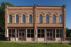 Clearwater Masonic Lodge-Grand Army of the Republic Halllisted 1979
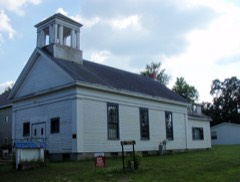 First Congregational Church of Clearwaterlisted 1979
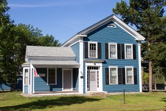 William W. Webster Houselisted 1979
Population over time
2 figuresClearwater grew from 1,735 to 1,922 between 2010 and 2020. These are the recorded population figures Wikidata holds for this place, reached through the Geographic Names Information System number this page is keyed on rather than by name, so they belong to this place and not to another of the same name. Most are census counts, but not all are: an early figure may be a founding or settlement estimate, and an estimate published within five years of a census is left out. The change column is computed, and is left blank where more than 20 years separate a figure from the one before it, because a gap that long is not a change between two counts.
| Year | People | Change |
|---|---|---|
| 2010 | 1,735 | |
| 2020 | 1,922 | +187 (+11%) |
Topographic sheets covering this place
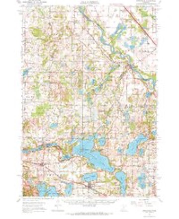
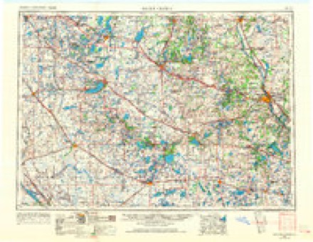
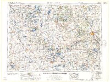
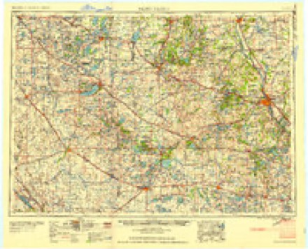
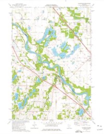
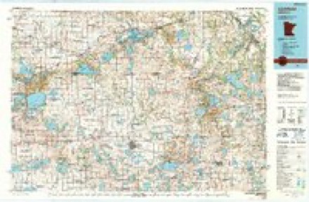
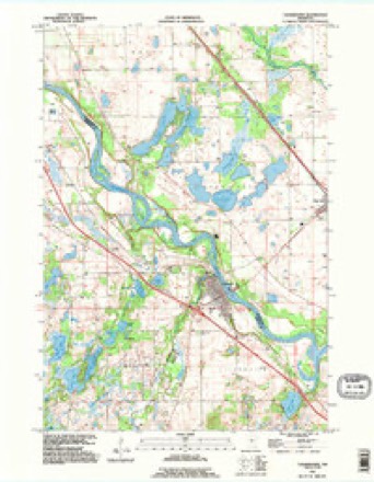
7 surveys from 11 printed sheetsMatched by testing this settlement's coordinate against the published boundary of every sheet in the United States Geological Survey's historical collection. Each opens the scanned sheet at the Survey.
- 1951 USGS Annandale quadrangle1:62500, 2 printings
- 1953 USGS Saint Cloud quadrangle1:250000, 3 printings
- 1957 USGS Saint Cloud quadrangle1:250000
- 1958 USGS Saint Cloud quadrangle1:250000
- 1974 USGS Clearwater quadrangle1:24000
- 1986 USGS Litchfield quadrangle1:100000, 2 printings
- 1991 USGS Clearwater quadrangle1:24000
In the county-history sources
3,362 words on this townshipHistory of Wright County, Minnesota Volume II, published 1915 names this settlement in its chapter on Clearwater City. These are the passages that mention it, exactly as the scans read.
Clearwater is the most northern of the political divisions of Wright county. It embraces all that part of Congressional township 122, range 27, that lies east of the Clearwater river; a small portion of seetions 34 and 35, in township 123, range 27, in the triangle formed by the juncture of the Clearwater and Mississippi rivers, and sections 7, 17 and 18 and fractional sections 5, 6 and 8, in township 122, range 26.
Passage source: History of Wright County, Minnesota Volume II, published 1915.
The surface is rolling, and in the northern part was originally principally prairie, bordered by a narrow belt of timber skirting the river, while south it merged into brushland, beyond which was a heavy timber land. Numerous fine lakes are found throughout the town, and two of more considerable size make slight encroachments from the town of Corinna on the south. Some good natural meadow land is found in the southern portion and along the Mississippi in the northern part. The soil in the prairie portion is a dark sandy loam with clay subsoil, and produces excellent crops; in the portion originally timbered it is clay and dark loam and is unsurpassed for fertility. For many years the cultivated area of this town was proportionately greater than in any other town in the county, but with the development of modern improvements in other localities in the county, Clearwater lost this distinction.
Passage source: History of Wright County, Minnesota Volume II, published 1915.
Selah Markham was the first permanent settler in Clearwater. He was born in New York, and came here from Illinois in the fall of 1854 and took a claim in section 7, township 122, range 26. He built a cabin and started a farm, the first in the township. About the same time, Alonzo T. Boynton tock a claim in sections 1, 2. 11 and 12. He also built a cabin and started a farm. He also was a native of New York state and came here from Illinois. John Oakes spent a part of the winter with Markham. Asa White, who had traded at Clear Lake, aeross the Mississippi river, as early as 1847, possibly selected a claim here the same winter.
Passage source: History of Wright County, Minnesota Volume II, published 1915.
Machine-read from a century-old scan, so expect the errors a machine makes: misspelled names, dropped words, stray characters.
Read the whole chapter on Clearwater City - it names this place 17 more 17 times.
Fires near this place
54 since 1992Regional context, not property-specific evidence. The federal wildfire occurrence database lists 54 fires within 5 miles of Clearwater between 1992 and 2020, burning about 496 acres in total. None started naturally. 6 were recorded as arson. Distance is straight-line from the map coordinates, so a fire counted here may appear on a neighbouring settlement's page as well.
| Reported cause | Fires |
|---|---|
| Debris and open burning | 30 |
| Railroad operations and maintenance | 10 |
| Arson/incendiarism | 6 |
| Equipment and vehicle use | 3 |
| Missing data/not specified/undetermined | 3 |
| Recreation and ceremony | 1 |
| Smoking | 1 |
The most recent of them, most recent first, with the day each was reported and the service that recorded it.
| Date | Cause | Size | Reported by | Name on the report |
|---|---|---|---|---|
| 30 September 2000 | Missing data/not specified/undetermined | under an acre | Minnesota Department of Natural Resources | not named |
| 24 September 1993 | Equipment and vehicle use | 3.0 acres | Minnesota Department of Natural Resources | not named |
| 27 August 2003 | Smoking | under an acre | Minnesota Department of Natural Resources | not named |
| 24 August 2000 | Debris and open burning | 1.5 acres | Minnesota Department of Natural Resources | not named |
| 13 August 1996 | Railroad operations and maintenance | 1.5 acres | Minnesota Department of Natural Resources | not named |
| 21 June 2008 | Railroad operations and maintenance | under an acre | Minnesota Department of Natural Resources | not named |
| 21 June 2008 | Railroad operations and maintenance | under an acre | Minnesota Department of Natural Resources | not named |
| 2 June 1994 | Equipment and vehicle use | under an acre | Minnesota Department of Natural Resources | not named |
Settlements close enough to share some of these fires:
Storms near this place
19 since 1997Regional context, not property-specific evidence. The National Weather Service names Clearwater in 19 storm reports between 1997 and 2025: 11 hail, 7 thunderstorm wind, 1 tornado. No death or injury is recorded in these reports. Each account below is quoted exactly as the forecast office filed it, from the NOAA Storm Events Database, and each date opens the federal record of that event.
| When | Event | Place named | Harm | What the report says |
|---|---|---|---|---|
| July 2010 | Tornado (EF0) | Clearwater | $100,000 | Hundreds of trees were snapped or uprooted, roofs removed from sheds, and several outbuildings destroyed. A house sustained minor damage, with the roof partially removed above a porch, and some shingles and siding removed. |
| April 2025 | Hail | Clearwater | - | Photo provided via social media. |
| July 2023 | Hail | Clearwater | - | Mostly dime size hail with some quarter size hail mixed in. Photo relayed through social media. |
| June 2015 | Hail | Clearwater | - | There were several reports of penny to nickel size hail from south of Clearwater, east to Interstate 94. The largest hail stone was quarter size, south of Clearwater. |
| May 2012 | Thunderstorm Wind | Clearwater | - | A Minnesota Department of Transportation wind sensor measured a wind gust of 59 knots. |
| June 2010 | Thunderstorm Wind | Clearwater | - | This was a measured wind gust at a Minnesota Department of Transportation Weather Station. |
| June 2010 | Thunderstorm Wind | Clearwater | - | Multiple trees were blown down near Clearwater, Minnesota. |
| August 2007 | Hail | Clearwater | - | Estimated winds of 40-50 mph. |
| June 2005 | Thunderstorm Wind | Clearwater | - | The top half of a chicken barn was blown off along 17th Avenue in Linden Township. |
| July 2005 | Thunderstorm Wind | Clearwater | - | A tree was downed across Highway 24. |
| July 1997 | Thunderstorm Wind | Clearwater | - | Windows blown in at apartment building. Trees down. |
| July 2024 | Hail | Clearwater | - | no account filed |
| May 2022 | Thunderstorm Wind | Clearwater | - | no account filed |
| August 2008 | Hail | Clearwater | - | no account filed |
| August 2008 | Hail | Clearwater | - | no account filed |
| July 2007 | Hail | Clearwater | - | no account filed |
| May 2006 | Hail | Clearwater | - | no account filed |
| August 2006 | Hail | Clearwater | - | no account filed |
| April 2002 | Hail | Clearwater | - | no account filed |
Nearest settlements
The eight closest, with where each one stands in the county. Distances are straight-line, computed from the Geographic Names Information System coordinates.
| Map | Place | Distance | Sheets |
|---|---|---|---|
| Clearwater Estates | 0.7 miles | 11 | |
| Hasty | 5.2 miles | 15 | |
| Enfield | 7.6 miles | 15 | |
| Silver Creek | 8.1 miles | 15 | |
| Annandale | 11.5 miles | 10 | |
| South Haven | 12.3 miles | 10 | |
| Maple Lake | 13.4 miles | 10 | |
| Monticello | 15.6 miles | 16 |
Elsewhere
Matched on this settlement's Geographic Names Information System number rather than its name, so it cannot be a different place of the same name in another state.
| Wikipedia article on Clearwater | An encyclopaedic summary. Its text is share-alike, so it is linked here rather than copied. |
| Wikidata item Q1009967 | The structured record the population and elevation above come from. Public domain (CC0). |
Provenance
This settlement is recorded in the Geographic Names Information System as feature 641312. The sheet list is computed by point-in-boundary test against the United States Geological Survey's historical topographic inventory. Both are works of the United States government and carry no copyright under 17 U.S.C. 105.
Wildfire. Short, Karen C. 2022. Spatial wildfire occurrence data for the United States, 1992-2020 [FPA_FOD_20221014]. 6th Edition. Fort Collins, CO: Forest Service Research Data Archive. https://doi.org/10.2737/RDS-2013-0009.6 Collected with United States Government funding and usable without additional permissions or fees.
Storms. NOAA National Centers for Environmental Information, Storm Events Database https://www.ncei.noaa.gov/stormevents/ A work of the United States government, no copyright under 17 U.S.C. 105. Narratives are quoted verbatim from the National Weather Service report and are not edited or summarised.