 Block
Luxemburg, Minnesota
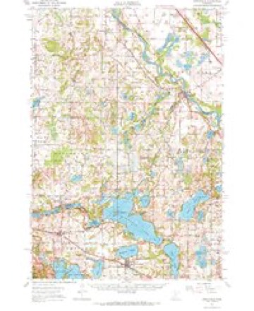
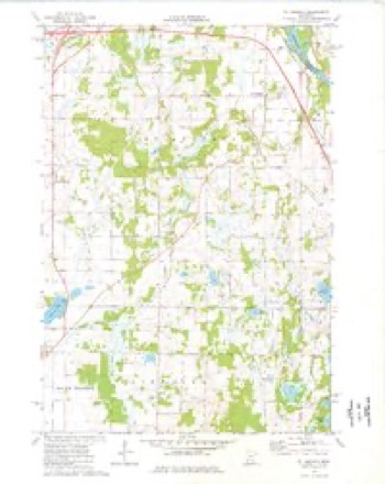
10 topographic sheets cover this place, the earliest surveyed in 1951 and the latest in 1986. It stands in St. Augusta City. It lies in ZIP code area 56301. The Survey maps it on the Saint Augusta quadrangle.
Topographic sheets covering this place
6 surveys from 10 printed sheetsMatched by testing this settlement's coordinate against the published boundary of every sheet in the United States Geological Survey's historical collection. Each opens the scanned sheet at the Survey.
- 1951 USGS Annandale quadrangle1:62500, 2 printings
- 1953 USGS Saint Cloud quadrangle1:250000, 3 printings
- 1957 USGS Saint Cloud quadrangle1:250000
- 1958 USGS Saint Cloud quadrangle1:250000
- 1974 USGS St Augusta quadrangle1:24000
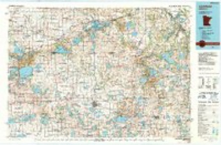
- 1986 USGS Litchfield quadrangle1:100000, 2 printings
In the county-history sources
1,371 words on this townshipHistory of Stearns County, Minnesota, published 1915 names this settlement in its chapter on St. Augusta City. These are the passages that mention it, exactly as the scans read.
The history of townships always clusters around certain centers, and what the village of St. Augusta was to the eastern part of the township, the little borough of Luxemburg was to the western part of it. Peter Lommel and Joseph Schoen appear to have been some of the earliest settlers, locating a few miles north of Luxemburg, on the St. Cloud road. John P. Hammerel, whose memory is well preserved among early settlers of Stearns county, opened a small store at Luxemburg in the early sixties, and after a Catholic congregation had been organized. The first postoffice in this end of the town was named West St. Augusta, but the name was later changed to Luxemburg Postoffice. John Moritz opened a blacksmith shop at Luxemburg about 1900. There is one store in the village, Paul Bach being the proprietor.
Passage source: History of Stearns County, Minnesota, published 1915.
The creamery at Luxemburg was organized in 1900 and a building erected in May of that year. There were 33 members of the association, who elected Jacob Weiler, president; Chas. Held, vice-president; Henry Brauch, secretary; J. B. Otto, treasurer; P. J. Winter, manager; Harry Zenner, Albert Bramer, D. Lommel, directors. The present officers are: Henry Lemm, president; Harry Zenner, vice-president; Stephen Strack, secretary and manager; J. B. Otto, treasurer; Nic Ranch, Henry Hansen, Adolph Iten, directors.
Passage source: History of Stearns County, Minnesota, published 1915.
Machine-read from a century-old scan, so expect the errors a machine makes: misspelled names, dropped words, stray characters.
Fires near this place
3 since 1998Regional context, not property-specific evidence. The federal wildfire occurrence database lists 3 fires within 5 miles of Luxemburg between 1998 and 2013, burning about 182 acres in total. None started naturally. 1 was recorded as arson. Distance is straight-line from the map coordinates, so a fire counted here may appear on a neighbouring settlement's page as well.
| Reported cause | Fires |
|---|---|
| Debris and open burning | 2 |
| Arson/incendiarism | 1 |
The most recent of them, most recent first, with the day each was reported and the service that recorded it.
| Date | Cause | Size | Reported by | Name on the report |
|---|---|---|---|---|
| 5 April 2004 | Debris and open burning | 30 acres | Minnesota Department of Natural Resources | not named |
| 27 April 2013 | Arson/incendiarism | 1.5 acres | Minnesota Department of Natural Resources | not named |
| 16 April 1998 | Debris and open burning | 150 acres | Minnesota Department of Natural Resources | not named |
Settlements close enough to share some of these fires:
Mines and quarries near this place
5 within 5 milesRegional context, not property-specific evidence. The federal mineral resources record lists 5 workings within 5 miles of Luxemburg: 5 producers. All of them still produce. What was taken out: Granite, Stone, Crushed/Broken, Sand and Gravel, Construction. Distance is straight-line from the map coordinates, so a quarry counted here may appear on a neighbouring settlement's page as well.
| Where | Site | Commodity | Status | Recorded |
|---|---|---|---|---|
| Rockville Shop | Granite, Stone, Crushed/Broken | Producer | ||
| Stommes Stearns County Sand & Grave | Sand and Gravel, Construction | Producer | ||
| Charcoal Gray Quarry | Granite | Producer | ||
| Rockville Quarry No 1 | Granite | Producer | ||
| Rockville Quarry No 2 | Granite | Producer |
Storms near this place
22 since 2004Regional context, not property-specific evidence. The National Weather Service names Luxemburg in 22 storm reports between 2004 and 2025: 14 thunderstorm wind, 8 hail. No death or injury is recorded in these reports. Each account below is quoted exactly as the forecast office filed it, from the NOAA Storm Events Database, and each date opens the federal record of that event.
| When | Event | Place named | Harm | What the report says |
|---|---|---|---|---|
| August 2021 | Thunderstorm Wind | Luxemburg | $1,000 | Several large tree branches were blown down south of St. Cloud, near Luxemburg. |
| April 2025 | Hail | Luxemburg | - | Photo measurement of quarter-size provided. |
| July 2024 | Thunderstorm Wind | Luxemburg | - | Large tree measuring 1.5 feet in dimeter snapped about 7.5 feet above the base. Photo provided via social media. |
| August 2024 | Thunderstorm Wind | Luxemburg | - | Several 8-to-14-inch diameter tree limbs down. |
| June 2024 | Thunderstorm Wind | Luxemburg | - | A tree limb measuring 14 inches in diameter was down along MN-15 and Beaver Lake Rd. A trained spotter measured 58 mph gusts and photographed the downed branch. |
| May 2022 | Thunderstorm Wind | Luxemburg | - | A measured wind gust from a trained spotter. |
| September 2020 | Hail | Luxemburg | - | Hail accumulated up to 2 inches in depth. |
| June 2019 | Thunderstorm Wind | Luxemburg | - | A shed was damaged south of St. Augusta. |
| September 2019 | Thunderstorm Wind | Luxemburg | - | A private weather station measured a wind gust of 55 knots. |
| September 2019 | Thunderstorm Wind | Luxemburg | - | A measured wind report by a private weather station. |
| July 2016 | Thunderstorm Wind | Luxemburg | - | A large tree was blown down south of St. Cloud, near County Road 7 and 192nd Street. |
| July 2016 | Thunderstorm Wind | Luxemburg | - | A 1.5 foot diameter tree was uprooted at County Road 7, and 200th Street, south of St. Augusta. |
| June 2012 | Thunderstorm Wind | Luxemburg | - | Several trees were uprooted at the intersection of Highway 15, and County Road 47. |
| July 2011 | Thunderstorm Wind | Luxemburg | - | Stearns County Highway Department crews removed a large tree over County Road 146 southwest of Clearwater. |
| July 2025 | Hail | Luxemburg | - | no account filed |
| May 2022 | Thunderstorm Wind | Luxemburg | - | no account filed |
| May 2022 | Thunderstorm Wind | Luxemburg | - | no account filed |
| May 2012 | Hail | Luxemburg | - | no account filed |
| July 2011 | Hail | Luxemburg | - | no account filed |
| June 2010 | Hail | Luxemburg | - | no account filed |
| September 2005 | Hail | Luxemburg | - | no account filed |
| April 2004 | Hail | Luxemburg | - | no account filed |
Nearest settlements
The eight closest, with where each one stands in the county. Distances are straight-line, computed from the Geographic Names Information System coordinates.
| Map | Place | Distance | Sheets |
|---|---|---|---|
| Saint Augusta | 2.6 miles | 10 | |
| Pleasant Lake | 3.8 miles | 8 | |
| Rockville | 5.2 miles | 8 | |
| Marty | 5.9 miles | 8 | |
| Waite Park | 7.3 miles | 12 | |
| Riverview Park | 7.7 miles | 12 | |
| Jacobs Prairie | 8.1 miles | 9 | |
| Saint Joseph | 8.6 miles | 12 |
Provenance
This settlement is recorded in the Geographic Names Information System as feature 647311. The sheet list is computed by point-in-boundary test against the United States Geological Survey's historical topographic inventory. Both are works of the United States government and carry no copyright under 17 U.S.C. 105.
Wildfire. Short, Karen C. 2022. Spatial wildfire occurrence data for the United States, 1992-2020 [FPA_FOD_20221014]. 6th Edition. Fort Collins, CO: Forest Service Research Data Archive. https://doi.org/10.2737/RDS-2013-0009.6 Collected with United States Government funding and usable without additional permissions or fees.
Mines and quarries. USGS Mineral Resources Data System (MRDS) https://mrdata.usgs.gov/mrds/ A work of the United States government, no copyright under 17 U.S.C. 105.
Storms. NOAA National Centers for Environmental Information, Storm Events Database https://www.ncei.noaa.gov/stormevents/ A work of the United States government, no copyright under 17 U.S.C. 105. Narratives are quoted verbatim from the National Weather Service report and are not edited or summarised.