 Block
Marty, Minnesota
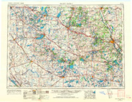
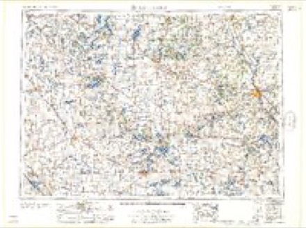
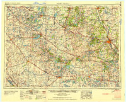
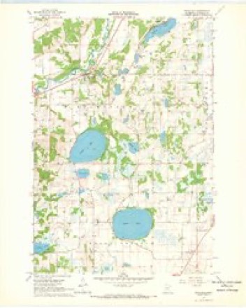
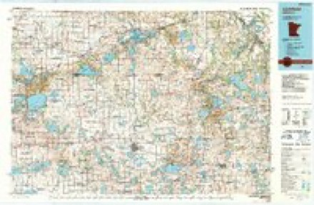
8 topographic sheets cover this place, the earliest surveyed in 1953 and the latest in 1986. It stands in Maine Prairie Township. It lies in ZIP code area 55353. The Survey maps it on the Rockville quadrangle.
Topographic sheets covering this place
5 surveys from 8 printed sheetsMatched by testing this settlement's coordinate against the published boundary of every sheet in the United States Geological Survey's historical collection. Each opens the scanned sheet at the Survey.
- 1953 USGS Saint Cloud quadrangle1:250000, 3 printings
- 1957 USGS Saint Cloud quadrangle1:250000
- 1958 USGS Saint Cloud quadrangle1:250000
- 1967 USGS Rockville quadrangle1:24000
- 1986 USGS Litchfield quadrangle1:100000, 2 printings
In the county-history sources
3,817 words on this townshipHistory of Stearns County, Minnesota, published 1915 names this settlement in its chapter on Maine Prairie Township. These are the passages that mention it, exactly as the scans read.
Maine Prairie has three villages. Kimball is a hamlet on the railroad in the southern part of the township. Its first house was built in 1886. Maine Prairie Corners is a small settlement on the site of the fort built for protection against the Indians in 1862. Marty has grown up around the Catholic church near Pearl lake.
Passage source: History of Stearns County, Minnesota, published 1915.
The village is an unusually flourishing center for one of its population, much of its business coming from the surrounding rural districts. It has German Evangelical, Lutheran and Methodist Episcopal churches, a public library, a theater, two banks, a hotel, a creamery, a flour mill, two grain elevators, a weekly newspaper, four general stores, two farm implement stores, two blacksmiths, a physician, a lumber company, a hardware store, a garage, a tinsmith, a drug store, a livery, a market, a restaurant, a furniture store, and other business houses. Here also are the headquarters of the Kimball-Maine Prairie Telephone Co. The village ships grain, live stock, butter and produce. Good fishing and hunting are found in the vicinity. A brief business directory follows: Eliel Peck, postmaster; T. E. Anderson, veterinary surgeon; Arrowood Bros., hardware; Atlantic Elevator Co., V. Goodman, agent; Norman A. Brown, agent of Central Lumber Co.; Wm. M. Campbell, garage; Walter Dixon, tinsmith; Addison C. Douglass, drugs; Leonard Engel, general store; Engholm & Cline, farm implements; Farmers State Bank, capital $10,000, T. H. Haskins, president; J. M. Arrowood, cashier; Herman A. Hanson, blacksmith; F. R. Holmes, livery; Frank Smith, publisher of the Kimball Kodak; Kimball-Maine Prairie Telephone Co-, Phil Vollmer, manager; Edward Johnson, manager of the Kimball Opera House; Kimball Public Library, Myrtle Marshall, librarian; Ole Knause, meats; Clayton E. May, physician; Jos. E. Miller, blacksmith; Chas. R. Nelson, restaurant; W. J. Niva (North Kingston); North Kingston Creamery, V. Caslen, manager (North Kingston) ; Lewis L. Olson, furniture; Osborne-McMillan Elevator Co., Fred Meyer, agent; Pearl Lake Creamery Co., E. L. Enderle, manager; Peck's Department Store; S. J. Phillips, general store (Maine Prairie) ; Jas. G. Reeves, general store; Salisbury House, Warren Salisbury, proprietor; Geo. E. Sherwood, physician; E. L. Shoemaker, barber; C. L. Spaulding & Son, farm implements; State Bank of Kimball, capital $10,000, surplus $3,500, George E. Sherwood, president; Charles H. March, vice president; C. D. Brower, cashier; S. C. Walters, railway agent; Louis Wieber, general store (Marty) ; Wolf Milling Co., Frank Wolf, manager (flour mill).
Passage source: History of Stearns County, Minnesota, published 1915.
In the fall of 1900, Louis Wieber erected a store and dwelling at Pearl Lake. On March 1, 1901, a postoflSce was established under the name of Marty, with Mr. Wieber as postmaster. The office was discontinued July 10, 1905, and the patrons are now supplied by rural delivery. Mr. Wieber continued to operate the store until May 1, 1914, when he was succeeded by Joseph Neis.
Passage source: History of Stearns County, Minnesota, published 1915.
Machine-read from a century-old scan, so expect the errors a machine makes: misspelled names, dropped words, stray characters.
Read the whole chapter on Maine Prairie Township - it names this place 2 more 2 times.
Mines and quarries near this place
1 within 5 milesRegional context, not property-specific evidence. The federal mineral resources record lists 1 working within 5 miles of Marty: 1 producer. All of them still produce. What was taken out: Granite. Distance is straight-line from the map coordinates, so a quarry counted here may appear on a neighbouring settlement's page as well.
| Where | Site | Commodity | Status | Recorded |
|---|---|---|---|---|
| Rockville Quarry No 2 | Granite | Producer |
Storms near this place
3 since 2010Regional context, not property-specific evidence. The National Weather Service names Marty in 3 storm reports between 2010 and 2016: 3 thunderstorm wind. No death or injury is recorded in these reports. Each account below is quoted exactly as the forecast office filed it, from the NOAA Storm Events Database, and each date opens the federal record of that event.
| When | Event | Place named | Harm | What the report says |
|---|---|---|---|---|
| August 2010 | Thunderstorm Wind | Marty | $25,000 | A National Weather Service Storm Survey Team determined that downburst winds caused dozens of trees to blow down from the eastern edge of Grand Lake to approximately three miles east of Rockville, Minnesota. One house suffered significant damage. |
| July 2016 | Thunderstorm Wind | Marty | - | Multiple trees were blown down between Cold Springs and Kimball. Some of the trees had a diameter of two feet. |
| August 2012 | Thunderstorm Wind | Marty | - | Several trees were blown down east of Marty. |
Nearest settlements
The eight closest, with where each one stands in the county. Distances are straight-line, computed from the Geographic Names Information System coordinates.
| Map | Place | Distance | Sheets |
|---|---|---|---|
| Rockville | 5.0 miles | 8 | |
| Saint Nicholas | 5.7 miles | 9 | |
| Luxemburg | 5.9 miles | 10 | |
| Kimball | 6.3 miles | 9 | |
| Cold Spring | 6.4 miles | 9 | |
| Jacobs Prairie | 6.8 miles | 9 | |
| Pleasant Lake | 7.2 miles | 8 | |
| Saint Augusta | 8.2 miles | 10 |
Provenance
This settlement is recorded in the Geographic Names Information System as feature 647579. The sheet list is computed by point-in-boundary test against the United States Geological Survey's historical topographic inventory. Both are works of the United States government and carry no copyright under 17 U.S.C. 105.
Mines and quarries. USGS Mineral Resources Data System (MRDS) https://mrdata.usgs.gov/mrds/ A work of the United States government, no copyright under 17 U.S.C. 105.
Storms. NOAA National Centers for Environmental Information, Storm Events Database https://www.ncei.noaa.gov/stormevents/ A work of the United States government, no copyright under 17 U.S.C. 105. Narratives are quoted verbatim from the National Weather Service report and are not edited or summarised.