 Block
Mendota, Minnesota
28 topographic sheets cover this place, the earliest surveyed in 1896 and the latest in 1985. It stands in Mendota City. It lies in ZIP code area 55150. It lies near Pilot Knob. The Survey maps it on the Saint Paul West quadrangle. 183 people lived here at the 2020 count. It stands 768 feet above sea level.
On record in Mendota
Buildings and businesses the archive holds for this place. Each opens its own page, with the source record it came from.
On the National Register 3 records
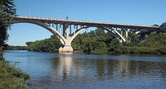 Fort Snelling-Mendota Bridgelisted 1978
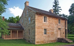 Mendota Historic Districtlisted 1970
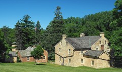 Henry H. Sibley Houselisted 1972
Population over time
2 figuresMendota fell from 198 to 183 between 2010 and 2020. These are the recorded population figures Wikidata holds for this place, reached through the Geographic Names Information System number this page is keyed on rather than by name, so they belong to this place and not to another of the same name. Most are census counts, but not all are: an early figure may be a founding or settlement estimate, and an estimate published within five years of a census is left out. The change column is computed, and is left blank where more than 20 years separate a figure from the one before it, because a gap that long is not a change between two counts.
| Year | People | Change |
|---|---|---|
| 2010 | 198 | |
| 2020 | 183 | -15 (-8%) |
Topographic sheets covering this place
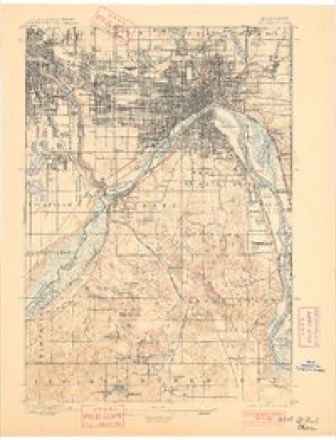
9 surveys from 28 printed sheetsMatched by testing this settlement's coordinate against the published boundary of every sheet in the United States Geological Survey's historical collection. Each opens the scanned sheet at the Survey.
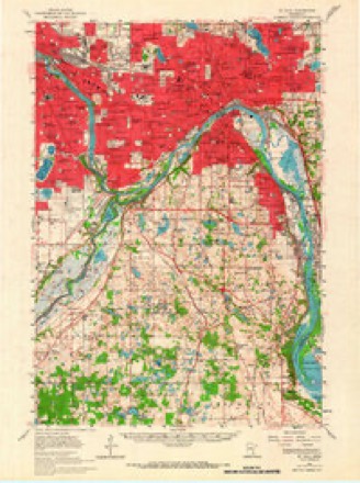
- 1896 USGS St. Paul quadrangle1:62500, 11 printings
- 1951 USGS St. Paul quadrangle1:62500, 2 printings
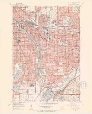
- 1951 USGS St. Paul West quadrangle1:24000, 2 printings
- 1953 USGS Saint Paul quadrangle1:250000, 3 printings
- 1953 USGS St. Paul quadrangle1:250000
- 1959 USGS Saint Paul quadrangle1:250000
- 1959 USGS St. Paul quadrangle1:250000
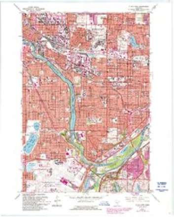
- 1967 USGS St. Paul West quadrangle1:24000, 5 printings
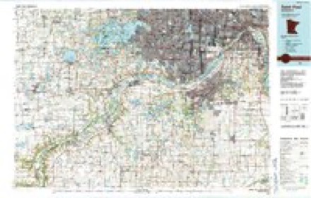
- 1985 USGS Saint Paul quadrangle1:100000, 2 printings




In the county-history sources
6,024 words on this townshipDakota County, published 1868 names this settlement in its chapter on Mendota City. These are the passages that mention it, exactly as the scans read.
Dakota county lies on the east side of the Mississippi river, directly opposite where the St. Croix river empties into it, and where the Mississippi river commences the task of dividing the States of Minnesota and Wisconsin, the great river having till this time passed entirely over Minnesota soil. On the north the Minnesota river divides Dakota from Hennepin county, Scott and Rice counties lying on the west, and Rice and Goodhue on the south. These are the general boundaries, though Dakota county is so irregular in form that it would be difficult to give an exact idea of its shape, without giving a map of the county, in the State, aside from the government troops at Fort SnelHng, was made in this county at Mendota in 1S2'6, by Jean Baptiste Faribault, an Indian trader from Canada. jSTo other settlers arrived for some years. In 1834, H. H. Sibley, afterwards the first governor of the State of Minnesota, located at Mendota, and soon had quite a colony of immigrants established at that point, and in his adventurous pioneer life saw very much of interest, and had many adventures that would of themselves form an interesting volume. We can hardly find room for extended notices, but give some extracts from some ot his writings and his journal, which he has kindly permitted us to copy.
Passage source: Dakota County, published 1868.
Mr. Sibley was foreman of the first grand jury ever empannelled in what is now the State of Minnesota, which consisted of twenty persons, three only of whom could speak or understand English, the rest being all Frenchmen. The court was held at Mendota, Judge Cooper presiding. His Honor delivered a written charge to the jury, of considerable length, which was profoundly listened to, though not a word was understood by more than three of the jurors.
Passage source: Dakota County, published 1868.
open-eyed wonder, tliey more than half suspect that some powerful geni with his magic wand has passed over the country, and produced these startling results; but the spirit of adventure, combined with first class Yankee ingenuity marked the 2)roblem, and "Western perseverance solved it. Men of independent mind and effort, with hearts throbbing with cheerful hope; men of nerve and muscle, "with a heart for any fate," an invincible determination to conquer all adverse circumstances, and hands wilHng and eager to demonstrate the fact, have looked out and made their homes on the fertile prairies that lie spread out so invitingly to the eye of the beholder. Beneath the tough web of the sward lay one vast garden, pregnant with all the rich fruits and golden grains ; a mine of incomparably greater wealth than the richest veins of golden ore. This capital has been brought into active use by the enerjjies of the toilino- thousands who have turned the waste of wilderness into fertile fields, and the treasures of the earth into channels to contribute to the happiness of man. And yet, the present importance and wealth are but the development of an insignificant portion of its real capacity ; v/hile vast unfurrowed fields still clad in the vestments of nature's primal beauty, invite the tillers of the soil to a closer acquaintanceship, and promise a rich reward for all the labor bestowed in their cultivation. At no time since the first settlement of the country have there been greater inducements to the agriculturist, the artisan, or the capitalist, to make homes within her borders, and it needs no j^rophet's tongue to tell that in the future there awaits unsurpassed prosperity, and a golden harvest for those who labor assiduously for that development. If the exertions and never-ceasing activities of the people are judiciously expended, a brilliant future awaits them. The Great Proprietor has dealt out to them of the garnered treasures of the earth with a more than bountiful liand, in fertility of soil, springs and streams of water, the facilities of communication, that reach nearly every town in the county, and make it one of the most accessible in the State. The natural communication and primal one is by way of the Mississippi and Minnesota rivers which bound the county on the north and east, affording rare shipping facilities for all the productions of the soil, and for bringing merchandise to . their homes. The next is the Milwaukee, St. Paul & Minneapolis railroad which enters the county at the northern extremity at Mendota, and runs through the entire length from north to south, having five stations within the limits of the county, viz : Mendota, Westcott, Rosemount, Farmington, and Castle Pock. This road is at present the only one in the State having a direct eastern communication, and is consequently the principal thoroughfare through the State. The Hastings & Dakota Pailroad is a line running from Hastings west through the whole county, and crossing the Milwaukee, St. Paul & Minneapolis road at Farmington. Twenty miles of this road are completed and the cars running thereon. The St. Paul & Chicago Railway also runs through a portion of the county, crossing the Mississippi river at Hastings. The Minnesota Yalley Railroad, starting at St. Paul, runs through the county on the northern line, connecting with the Milwaukee, St. Paul & Minneapolis road at Mendota, and has three stations within the county. Navigable rivers bounding it on the north and east, and four diflerent lines ol railroad running through it, gives commercial communications unsurpassed by any of equal extent of country on the continent.
Passage source: Dakota County, published 1868.
Machine-read from a century-old scan, so expect the errors a machine makes: misspelled names, dropped words, stray characters.
Read the whole chapter on Mendota City - it names this place 1 more 1 time.
Fires near this place
32 since 1998Regional context, not property-specific evidence. The federal wildfire occurrence database lists 32 fires within 5 miles of Mendota between 1998 and 2019, burning about 235 acres in total. None started naturally. 3 were recorded as arson. Distance is straight-line from the map coordinates, so a fire counted here may appear on a neighbouring settlement's page as well.
| Reported cause | Fires |
|---|---|
| Recreation and ceremony | 15 |
| Railroad operations and maintenance | 8 |
| Missing data/not specified/undetermined | 5 |
| Arson/incendiarism | 3 |
| Debris and open burning | 1 |
The most recent of them, most recent first, with the day each was reported and the service that recorded it.
| Date | Cause | Size | Reported by | Name on the report |
|---|---|---|---|---|
| 24 September 2000 | Missing data/not specified/undetermined | under an acre | Minnesota Valley National Wildlife Refuge | BOARDWALK |
| 26 August 2011 | Recreation and ceremony | under an acre | Minnesota Valley National Wildlife Refuge | BASS PONDS 3 |
| 20 August 2008 | Recreation and ceremony | under an acre | Minnesota Valley National Wildlife Refuge | IKES |
| 13 August 2007 | Missing data/not specified/undetermined | under an acre | Minnesota Valley National Wildlife Refuge | BLUE WATER |
| 5 July 2011 | Recreation and ceremony | under an acre | Minnesota Valley National Wildlife Refuge | BASS PONDS 1 |
| 3 July 2006 | Recreation and ceremony | under an acre | Minnesota Valley National Wildlife Refuge | BASS 2 |
| 20 July 2011 | Recreation and ceremony | under an acre | Minnesota Valley National Wildlife Refuge | LML |
| 19 July 2002 | Recreation and ceremony | under an acre | Minnesota Valley National Wildlife Refuge | YOUTH |
Settlements close enough to share some of these fires:
Mines and quarries near this place
3 within 5 milesRegional context, not property-specific evidence. The federal mineral resources record lists 3 workings within 5 miles of Mendota: 1 occurrence, 1 producer, 1 past producer. 1 still produces. What was taken out: Clay, Kaolin. Distance is straight-line from the map coordinates, so a quarry counted here may appear on a neighbouring settlement's page as well.
| Where | Site | Commodity | Status | Recorded |
|---|---|---|---|---|
| Twin City Brick Co. Clay Pit | Kaolin | Producer | Kaolinite | |
| Dakota County Clay Deposit | Clay | Occurrence | ||
| Twin City Brick Co Pit | Clay | Past Producer |
Storms near this place
5 since 2012Regional context, not property-specific evidence. The National Weather Service names Mendota in 5 storm reports between 2012 and 2024: 2 thunderstorm wind, 1 tornado, 1 flash flood, 1 hail. No death or injury is recorded in these reports. Each account below is quoted exactly as the forecast office filed it, from the NOAA Storm Events Database, and each date opens the federal record of that event.
| When | Event | Place named | Harm | What the report says |
|---|---|---|---|---|
| November 2012 | Thunderstorm Wind | Mendota | $100,000 | A storm survey revealed that straight line winds of 65 mph were associated with the rear flank downdraft from the tornado that dissipated at the Lost Spur Golf Course. These severe winds blew shingles off a hotel roof and knocked down trees from near Interstate 494 and Pilot Knob Road, northeast to a business community. |
| November 2012 | Tornado (EF0) | Mendota | $50,000 | A brief EF-0 tornado spun up near Skyline Drive, east of Highway 13, and tracked north-northeast to the Lost Spur Golf Course just south of Interstate 494. The tornado tracked for two blocks in a heavily wooded residential area before moving across a small golf course as it dissipated. Numerous large trees and power lines were blown down along the path of approximately one-half mile. |
| August 2024 | Thunderstorm Wind | Mendota | - | Large pine tree uprooted and leaning on power lines. |
| September 2015 | Flash Flood | Mendota | - | Several reports of stalled cars along I-35 from Eagan, northeast to West St. Paul. This was noted on Minnesota Department of Transportation Webcams that noted the stalled cars and deep water in the roadway. |
| September 2016 | Hail | Mendota | - | no account filed |
Nearest settlements
The eight closest, with where each one stands in the county. Distances are straight-line, computed from the Geographic Names Information System coordinates.
| Map | Place | Distance | Sheets |
|---|---|---|---|
| Mendota Heights | 1.4 miles | 28 | |
| Lilydale | 2.8 miles | 28 | |
| Sunfish Lake | 3.7 miles | 28 | |
| West Saint Paul | 3.9 miles | 28 | |
| Nicols | 5.4 miles | 30 | |
| Wescott | 5.6 miles | 28 | |
| Eagan | 5.7 miles | 30 | |
| Cedar Grove | 6.2 miles | 30 |
Elsewhere
Matched on this settlement's Geographic Names Information System number rather than its name, so it cannot be a different place of the same name in another state.
| Wikipedia article on Mendota | An encyclopaedic summary. Its text is share-alike, so it is linked here rather than copied. |
| Wikidata item Q1934309 | The structured record the population and elevation above come from. Public domain (CC0). |
Provenance
This settlement is recorded in the Geographic Names Information System as feature 647762. The sheet list is computed by point-in-boundary test against the United States Geological Survey's historical topographic inventory. Both are works of the United States government and carry no copyright under 17 U.S.C. 105.
Wildfire. Short, Karen C. 2022. Spatial wildfire occurrence data for the United States, 1992-2020 [FPA_FOD_20221014]. 6th Edition. Fort Collins, CO: Forest Service Research Data Archive. https://doi.org/10.2737/RDS-2013-0009.6 Collected with United States Government funding and usable without additional permissions or fees.
Mines and quarries. USGS Mineral Resources Data System (MRDS) https://mrdata.usgs.gov/mrds/ A work of the United States government, no copyright under 17 U.S.C. 105.
Storms. NOAA National Centers for Environmental Information, Storm Events Database https://www.ncei.noaa.gov/stormevents/ A work of the United States government, no copyright under 17 U.S.C. 105. Narratives are quoted verbatim from the National Weather Service report and are not edited or summarised.