 Block
Okabena, Minnesota
8 topographic sheets cover this place, the earliest surveyed in 1954 and the latest in 1985. It stands in Okabena City. It lies in ZIP code area 56161. The Survey maps it on the Okabena quadrangle. 203 people lived here at the 2020 count. It stands 1,421 feet above sea level.
Population over time
2 figuresOkabena grew from 188 to 203 between 2010 and 2020. These are the recorded population figures Wikidata holds for this place, reached through the Geographic Names Information System number this page is keyed on rather than by name, so they belong to this place and not to another of the same name. Most are census counts, but not all are: an early figure may be a founding or settlement estimate, and an estimate published within five years of a census is left out. The change column is computed, and is left blank where more than 20 years separate a figure from the one before it, because a gap that long is not a change between two counts.
| Year | People | Change |
|---|---|---|
| 2010 | 188 | |
| 2020 | 203 | +15 (+8%) |
Topographic sheets covering this place
4 surveys from 8 printed sheetsMatched by testing this settlement's coordinate against the published boundary of every sheet in the United States Geological Survey's historical collection. Each opens the scanned sheet at the Survey.
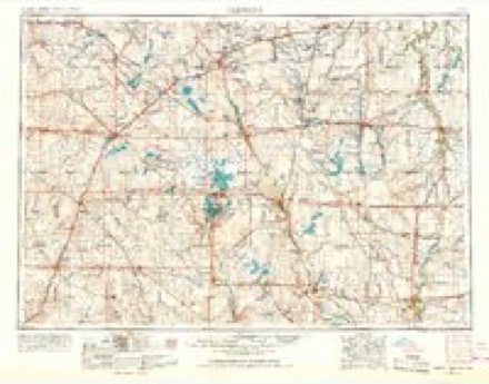
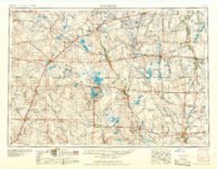
- 1954 USGS Fairmont quadrangle1:250000, 3 printings
- 1958 USGS Fairmont quadrangle1:250000
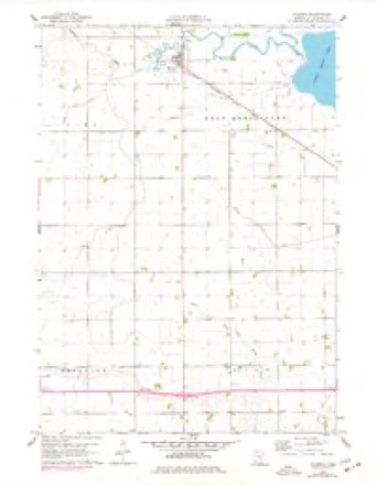
- 1960 USGS Okabena quadrangle1:24000, 2 printings
- 1985 USGS Worthington quadrangle1:100000, 2 printings
In the county-history sources
913 words on this townshipAn Illustrated History of Jackson County, Minnesota, published 1910 names this settlement in its chapter on Okabena City. These are the passages that mention it, exactly as the scans read.
Okabena makes no pretense of metropolitan greatness, but it is a prosperous little hamlet, boasting a dozen or more business enterprises. In the town are a bank, school, church, general store, hardware store, creamer}', lumber yard, hotel, livery barns, blacksmith shop, implement dealers, elevators, restaurant, billiard hall, etc. Okabena was founded as a station of the Southern Minnesota railroad in September, 1879, and when the tracklayers reached that point they laid a sidetrack. The same fall a warehouse was built, and the next February a postoffice was established with K. C. Jackson as postmaster. Mr. Jackson opened a small store in November, 1880, which he conducted until the summer of 1884. Okabena did not develop into a town until the nineties. The tpwnsite was surveyed in May, 1892,'' although the records show that the plat was not put on record until October 30, 1897. It was surveyed by J. L. Hoist and platted by Henry J. Schumacher. The plat consisted of six blocks located on the north side of the railroad. East and west streets were named Jackson, Exchange and Market; those north and south were named Front, Minnesota, Grove and Okabena. With the prosperous times of the late nineties and of the present decade came the building of the town, which is recognized as an excellent trading point by those residing in the vicinity.
Passage source: An Illustrated History of Jackson County, Minnesota, published 1910.
same distance northwest of Okabena, on section 35, LaCrosse township, the main line of the Omaha railroad and the Southern Minnesota division of the Milwaukee road cross. A union depot is maintained ; the other enterprises consist of a postoffice, a small store and eating house, combined, and a warehouse.
Passage source: An Illustrated History of Jackson County, Minnesota, published 1910.
Machine-read from a century-old scan, so expect the errors a machine makes: misspelled names, dropped words, stray characters.
Read the whole chapter on Okabena City - it names this place 2 more 2 times.
Storms near this place
31 since 2000Regional context, not property-specific evidence. The National Weather Service names Okabena in 31 storm reports between 2000 and 2026: 20 hail, 7 thunderstorm wind, 2 flash flood, 1 tornado. No death or injury is recorded in these reports. Each account below is quoted exactly as the forecast office filed it, from the NOAA Storm Events Database, and each date opens the federal record of that event.
| When | Event | Place named | Harm | What the report says |
|---|---|---|---|---|
| August 2004 | Thunderstorm Wind | Okabena | $100,000 | Thunderstorm winds destroyed at least two barns, damaged several smaller farm structures including silos, caused widespread tree damage, and blew down power lines which resulted in power outages. The winds caused crop damage in the area, but the amount of crop damage could not be determined. |
| August 2001 | Thunderstorm Wind | Okabena | $100,000 | Thunderstorm winds tore a heavy rubber membrane off a school gym and wellness center. The resulting leakage of water caused damage to several pieces of electronic equipment. |
| July 2000 | Hail | Okabena | $100,000 | Large hail destroyed or damaged 15,000 acres of corn and soybean crops. The hail also broke windows, dented vehicles, and damaged siding. |
| June 2020 | Thunderstorm Wind | Okabena | $50,000 | Nine power poles were snapped off, with four tossed across 340th Avenue into the opposite ditch. Property damage costs are rough estimates. |
| April 2026 | Hail | Okabena | - | Two thirds of the yard was covered by hail up to nickel size. Hail fall was approximately 10 minutes. |
| June 2024 | Thunderstorm Wind | Okabena | - | Video was taken of multiple trees damaged by a period of damaging thunderstorm wind gusts. Most downed limbs from from 6 to 8 inches in diameter, but several were in excess of a foot in diameter. |
| June 2024 | Thunderstorm Wind | Okabena | - | Thunderstorm winds damaged a cattle feeder and dented a large grain bin. Several trees were also damaged. |
| May 2022 | Hail | Okabena | - | Crop damage is an estimate from insured losses. Information provided by the United States Department of Agriculture. |
| May 2022 | Hail | Okabena | - | Crop damage is an estimate from insured losses. Information provided by the United States Department of Agriculture. |
| August 2018 | Flash Flood | Okabena | - | Report of ponding water flowing into basement. Minor damage from standing water in basement. |
| August 2018 | Heavy Rain | Okabena | - | Rainfall reached an estimated 2.50 inches. Relayed through the Jackson County Sheriff. |
| May 2017 | Thunderstorm Wind | Okabena | - | Report received via Social Media. |
| September 2010 | Flash Flood | Okabena | - | Heavy rain caused flooding of streets and a few basements, and there was a sewer backup into some homes. |
| July 2009 | Thunderstorm Wind | Okabena | - | Thunderstorm winds flattened corn. The amount of crop damage was not known. The winds were accompanied by nickel size hail. |
| July 2009 | Hail | Okabena | - | Hail was accompanied by estimated 60 mph wind gusts. |
| May 2004 | Hail | Okabena | - | Large hail covered the ground. |
| July 2001 | Tornado (F0) | Okabena | - | A tornado damaged corn crops, but the amount of crop damage was not known. |
| April 2026 | Hail | Okabena | - | no account filed |
| April 2026 | Hail | Okabena | - | no account filed |
| April 2022 | Hail | Okabena | - | no account filed |
| July 2020 | Hail | Okabena | - | no account filed |
| June 2019 | Hail | Okabena | - | no account filed |
| June 2016 | Hail | Okabena | - | no account filed |
| October 2013 | Hail | Okabena | - | no account filed |
| May 2012 | Hail | Okabena | - | no account filed |
| July 2010 | Hail | Okabena | - | no account filed |
| June 2008 | Hail | Okabena | - | no account filed |
| May 2005 | Hail | Okabena | - | no account filed |
| May 2004 | Hail | Okabena | - | no account filed |
| May 2004 | Hail | Okabena | - | no account filed |
| June 2003 | Hail | Okabena | - | no account filed |
Nearest settlements
The eight closest, with where each one stands in the county. Distances are straight-line, computed from the Geographic Names Information System coordinates.
| Map | Place | Distance | Sheets |
|---|---|---|---|
| Miloma | 3.2 miles | 7 | |
| Heron Lake | 3.8 miles | 7 | |
| Rost | 6.6 miles | 8 | |
| Wilder | 8.7 miles | 7 | |
| Lakefield | 8.8 miles | 9 | |
| Spafford | 9.0 miles | 7 | |
| Sioux Valley | 13.5 miles | 7 | |
| Bergen | 17.4 miles | 6 |
Elsewhere
Matched on this settlement's Geographic Names Information System number rather than its name, so it cannot be a different place of the same name in another state.
| Wikipedia article on Okabena | An encyclopaedic summary. Its text is share-alike, so it is linked here rather than copied. |
| Wikidata item Q2182386 | The structured record the population and elevation above come from. Public domain (CC0). |
Provenance
This settlement is recorded in the Geographic Names Information System as feature 657662. The sheet list is computed by point-in-boundary test against the United States Geological Survey's historical topographic inventory. Both are works of the United States government and carry no copyright under 17 U.S.C. 105.
Storms. NOAA National Centers for Environmental Information, Storm Events Database https://www.ncei.noaa.gov/stormevents/ A work of the United States government, no copyright under 17 U.S.C. 105. Narratives are quoted verbatim from the National Weather Service report and are not edited or summarised.