 Block
Spafford, Minnesota
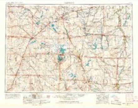
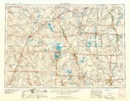
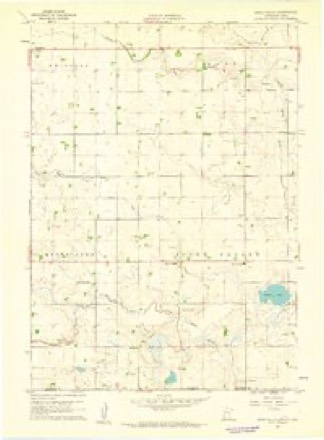
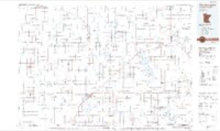
7 topographic sheets cover this place, the earliest surveyed in 1954 and the latest in 1985. It stands in Ewington Township. It lies in ZIP code area 56167. The Survey maps it on the Sioux Valley quadrangle.
Topographic sheets covering this place
4 surveys from 7 printed sheetsMatched by testing this settlement's coordinate against the published boundary of every sheet in the United States Geological Survey's historical collection. Each opens the scanned sheet at the Survey.
- 1954 USGS Fairmont quadrangle1:250000, 3 printings
- 1958 USGS Fairmont quadrangle1:250000
- 1960 USGS Sioux Valley quadrangle1:24000
- 1985 USGS Worthington quadrangle1:100000, 2 printings
Storms near this place
28 since 1994Regional context, not property-specific evidence. The National Weather Service names Spafford in 28 storm reports between 1994 and 2025: 15 hail, 6 flood, 5 thunderstorm wind, 1 flash flood. No death or injury is recorded in these reports. Each account below is quoted exactly as the forecast office filed it, from the NOAA Storm Events Database, and each date opens the federal record of that event.
| When | Event | Place named | Harm | What the report says |
|---|---|---|---|---|
| June 2024 | Flood | Spafford | $355,000 | Rainfall amounts across Jackson County from June 20-22 ranged from 4 to 6 inches. Farther north and upstream, 6 to 9 inches of rain fell across portions of southwest Minnesota. This rainfall resulted in widespread overland flooding and major flooding along the West Fork Des Moines River. ||At peak flooding, the city of Heron Lake became surrounded by flood water, resulting in an evacuation notice for 16 homes. Flood water impacted approximately 120 homes in Heron Lake, one of which was declared destroyed. Municipal crews worked 24/7 to keep water from shutting down the sewer system. ||In the city of Jackson, a temporary levee was breached on June 22, allowing flood water from the West Fork Des Moines River to inundate the community. Approximately 12 homes were evacuated with many others taking on water or sewage in their basements. One home was declared destroyed and numerous businesses were flooded and unable to operate. All three bridges in Jackson were closed, including the U.S. Highway 71 bridge on the northside of town.||County-wide, 114 individuals applied for assistance, estimated at a value of nearly 355 thousand dollars. ||Numerous other township and county roads were closed and damaged by flood waters. Portions of Minnesota Highway 60 in the northwest corner of the county were still closed by months end.||For additional information on river flooding, please see other flood entries for Jackson County. |
| March 2019 | Flood | Spafford | $352,000 | All county and township roads were closed to through traffic on March 14. Extensive flood damage was done in many areas. The property damage costs include estimates for public property losses. |
| May 2017 | Thunderstorm Wind | Spafford | $10,000 | Pontoon damaged, dock and hoist destroyed. |
| July 2010 | Thunderstorm Wind | Spafford | $5,000 | Thunderstorm winds blew down several trees and a grain auger. The winds also caused an unknown amount of damage to crops. |
| April 2025 | Hail | Spafford | - | The ground was covered by nickel to quarter size hail. |
| July 2020 | Hail | Spafford | - | Significant damage was done to crops in a small area south of Interstate 90. Crop damage is an estimate from insured losses. Information provided by the United States Department of Agriculture. |
| June 2019 | Flood | Spafford | - | During crop planting season, prolonged flooding led to the loss of or inability to plant crops across the area. Crop loss estimates provided by the United States Department of Agriculture. |
| May 2019 | Flood | Spafford | - | The Little Sioux River near Montgomery (gage site MLSI4) reached a crest of 1.07 feet above flood stage on May 30. The main impact was inundation of agricultural land, which further delayed spring planting. 170th Avenue was flooded north of State Highway 9. Minor flooding continued at the end of the month. |
| September 2019 | Flood | Spafford | - | Flooding resulted in crop losses across the area. Crop loss estimates provided by the United States Department of Agriculture. |
| July 2018 | Flood | Spafford | - | Significant amounts of crop and pasture land were flooded as river levels on the Little Sioux River climbed to 1.7 feet above flood stage near Montgomery (gage site MLSI4) on July 4. |
| May 2018 | Hail | Spafford | - | Report was received via social media. |
| June 2014 | Thunderstorm Wind | Spafford | - | Thunderstorm winds caused tree damage, including numerous branches blown down. |
| July 2010 | Thunderstorm Wind | Spafford | - | Thunderstorm winds caused tree damage, including several trees blown down. |
| August 2006 | Thunderstorm Wind | Spafford | - | Thunderstorm winds caused tree damage, including at least one large tree blown down. |
| June 2005 | Flash Flood | Spafford | - | Heavy rain caused flooding of county roads, fields, and other low areas. |
| June 2001 | Hail | Spafford | - | Large hail damaged or destroyed 50 thousand to 60 thousand acres of crops, mostly corn and soybean, in southern Jackson County. |
| April 2025 | Hail | Spafford | - | no account filed |
| April 2022 | Hail | Spafford | - | no account filed |
| April 2022 | Hail | Spafford | - | no account filed |
| July 2020 | Hail | Spafford | - | no account filed |
| June 2018 | Hail | Spafford | - | no account filed |
| July 2017 | Hail | Spafford | - | no account filed |
| May 2012 | Hail | Spafford | - | no account filed |
| April 2012 | Funnel Cloud | Spafford | - | no account filed |
| August 2008 | Hail | Spafford | - | no account filed |
| August 2003 | Hail | Spafford | - | no account filed |
| June 2001 | Hail | Spafford | - | no account filed |
| July 1994 | Hail | Spafford | - | no account filed |
Nearest settlements
The eight closest, with where each one stands in the county. Distances are straight-line, computed from the Geographic Names Information System coordinates.
| Map | Place | Distance | Sheets |
|---|---|---|---|
| Rost | 4.6 miles | 8 | |
| Sioux Valley | 6.1 miles | 7 | |
| Okabena | 9.0 miles | 8 | |
| Miloma | 10.1 miles | 7 | |
| Lakefield | 11.4 miles | 9 | |
| Heron Lake | 12.6 miles | 7 | |
| Wilder | 17.2 miles | 7 | |
| Jackson | 20.3 miles | 6 |
Provenance
This settlement is recorded in the Geographic Names Information System as feature 654952. The sheet list is computed by point-in-boundary test against the United States Geological Survey's historical topographic inventory. Both are works of the United States government and carry no copyright under 17 U.S.C. 105.
Storms. NOAA National Centers for Environmental Information, Storm Events Database https://www.ncei.noaa.gov/stormevents/ A work of the United States government, no copyright under 17 U.S.C. 105. Narratives are quoted verbatim from the National Weather Service report and are not edited or summarised.