 Block
Plymouth, Minnesota
21 topographic sheets cover this place, the earliest surveyed in 1902 and the latest in 1991. It stands in Plymouth City. It lies in ZIP code area 55441. The Survey maps it on the Osseo quadrangle. 81,026 people lived here at the 2020 count. It stands 971 feet above sea level.
Population over time
3 figuresPlymouth grew from 393 to 81,026 between 1860 and 2020. These are the recorded population figures Wikidata holds for this place, reached through the Geographic Names Information System number this page is keyed on rather than by name, so they belong to this place and not to another of the same name. Most are census counts, but not all are: an early figure may be a founding or settlement estimate, and an estimate published within five years of a census is left out. The change column is computed, and is left blank where more than 20 years separate a figure from the one before it, because a gap that long is not a change between two counts.
| Year | People | Change |
|---|---|---|
| 1860 | 393 | |
| 2010 | 70,576 | |
| 2020 | 81,026 | +10,450 (+15%) |
Topographic sheets covering this place
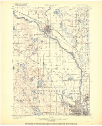
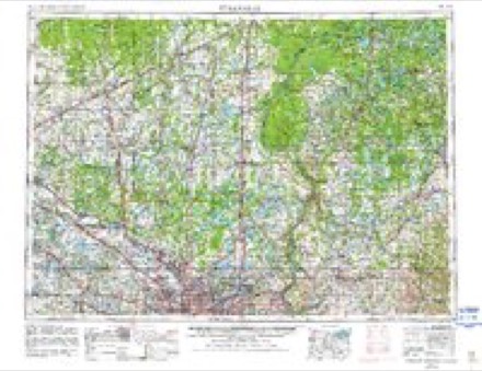
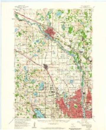
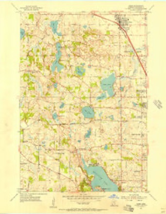
11 surveys from 21 printed sheetsMatched by testing this settlement's coordinate against the published boundary of every sheet in the United States Geological Survey's historical collection. Each opens the scanned sheet at the Survey.
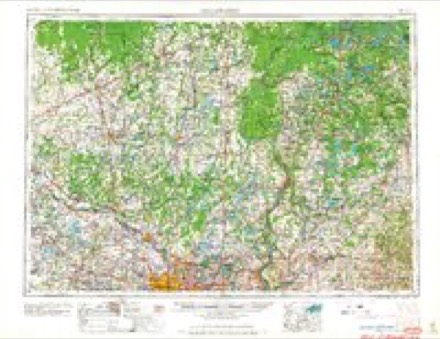
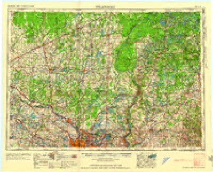
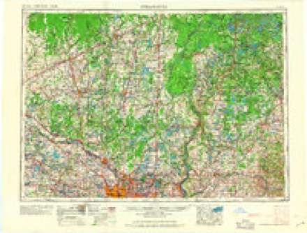
- 1902 USGS Anoka quadrangle1:62500, 4 printings
- 1953 USGS Stillwater quadrangle1:250000
- 1955 USGS Anoka quadrangle1:62500
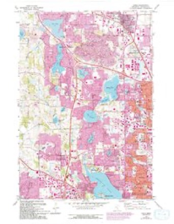
- 1955 USGS Osseo quadrangle1:24000, 2 printings
- 1955 USGS Stillwater quadrangle1:250000
- 1958 USGS Stillwater quadrangle1:250000, 2 printings
- 1965 USGS Stillwater quadrangle1:250000
- 1967 USGS Osseo quadrangle1:24000, 5 printings
- 1975 USGS Stillwater quadrangle1:250000, 2 printings
- 1985 USGS Anoka quadrangle1:100000
- 1991 USGS Anoka quadrangle1:100000
In the county-history sources
8,278 words on this townshipHistory of Hennepin County and the City of Minneapolis, Including the Explorers and Pioneers of Minnesota, published 1881 names this settlement in its chapter on Plymouth City. These are the passages that mention it, exactly as the scans read.
At a meeting of the county board April 10th, 1858, for the pm-pose of establishing the boundaries of the townships in the county, the congressional tt)wn of 118-22 was named Plymouth, and the tirst meeting was called under that name, which produced a great deal of dissatisfaction on the part of some of the voters, and aiiother meeting was called for June 21st, 1858, which met at the hotel kept by C. W. Farrington. After considerable discussion a vote was taken, which resulted in favor of Medicine Lake, for the name of the town. The next meeting was held at the school house in district No. 51. April 5th, 1859, and the call was issued under the name of Medicine Lake, and the business transacted luuler that name. The following year, April 3d, 1860, the meeting was held under the name of Plymouth, no ree(u-ds showing when or how the change was effected. The county officials never recognized the name of Medicine Lake, and the name reverted back to that given it by the county board. The name was taken from a village called Plymouth, laid out on the north and west shores of Parker's Lake, in 1856.
Passage source: History of Hennepin County and the City of Minneapolis, Including the Explorers and Pioneers of Minnesota, published 1881.
The Plymouth Methodist Church. This society was organized in 1808, and a church built on the north side of Parker's Lake. The first senices were conducted by Rev. Charles Haskell, who continued as pastor about two years. It was dedicated by the Rev. 1). Cobli. at that time Presiding Elder of the District. The sabbath school had a membership of forty or tifty scliolai-s. .\I iles Dickey, Superintendent. The structure was
Passage source: History of Hennepin County and the City of Minneapolis, Including the Explorers and Pioneers of Minnesota, published 1881.
The first post-offlce established in the town was at Medicine Lake, in the spring of 1850, and Fi-ancis Iluot appointed Postmaster, who held the office about three years, when he was succeeded by his brother Louis. Plymouth Postofflce was established in 1865, and Xalhaniel Day appointed Postmaster, who removed it to his house, on section 15. jSIr. Day died in the winter of 1867, and was succeeded l)y Amos Dickinson, who was followed by James Hough, who held the office until it was discontinued. In 1878 another office was established on section 4, and Fred. Gue.sman appointed Postmaster. This office was also discontinued in the spring of 1880. Parker's Lake I'ost-otlice was estaltlished June 28th, 1871, and J. M. Parker appointed Postmaster. Has held the office to the present time. South Plymouth Post-office was established in 1862, and located on section H3. Mrs. Matilda Clay appointed Postmistress. When the postoffice at AVayzata was re-established, in 1864, South Plymouth was discontinued.
Passage source: History of Hennepin County and the City of Minneapolis, Including the Explorers and Pioneers of Minnesota, published 1881.
Machine-read from a century-old scan, so expect the errors a machine makes: misspelled names, dropped words, stray characters.
Read the whole chapter on Plymouth City - it names this place 16 more 16 times.
Fires near this place
5 since 2000Regional context, not property-specific evidence. The federal wildfire occurrence database lists 5 fires within 5 miles of Plymouth between 2000 and 2003, burning about 56 acres in total. None started naturally. 3 were recorded as arson. Distance is straight-line from the map coordinates, so a fire counted here may appear on a neighbouring settlement's page as well.
| Reported cause | Fires |
|---|---|
| Arson/incendiarism | 3 |
| Railroad operations and maintenance | 2 |
The most recent of them, most recent first, with the day each was reported and the service that recorded it.
| Date | Cause | Size | Reported by | Name on the report |
|---|---|---|---|---|
| 4 May 2001 | Railroad operations and maintenance | under an acre | Minnesota Department of Natural Resources | not named |
| 3 May 2001 | Railroad operations and maintenance | under an acre | Minnesota Department of Natural Resources | not named |
| 8 April 2000 | Arson/incendiarism | 12 acres | Minnesota Department of Natural Resources | not named |
| 12 April 2003 | Arson/incendiarism | 30 acres | Minnesota Department of Natural Resources | not named |
| 10 April 2000 | Arson/incendiarism | 14 acres | Minnesota Department of Natural Resources | not named |
Settlements close enough to share some of these fires:
Mines and quarries near this place
3 within 5 milesRegional context, not property-specific evidence. The federal mineral resources record lists 3 workings within 5 miles of Plymouth: 3 producers. All of them still produce. What was taken out: Sand and Gravel, Construction, Bentonite. Distance is straight-line from the map coordinates, so a quarry counted here may appear on a neighbouring settlement's page as well.
| Where | Site | Commodity | Status | Recorded |
|---|---|---|---|---|
| North Central Aggregate Pit | Bentonite | Producer | ||
| Highway 18 Pit and Mill | Sand and Gravel, Construction | Producer | ||
| Hopkins Plant | Sand and Gravel, Construction | Producer |
Storms near this place
36 since 1995Regional context, not property-specific evidence. The National Weather Service names Plymouth in 36 storm reports between 1995 and 2025: 20 hail, 10 thunderstorm wind, 4 heavy rain, 1 tornado. The reports record 5 injuries. Each account below is quoted exactly as the forecast office filed it, from the NOAA Storm Events Database, and each date opens the federal record of that event.
| When | Event | Place named | Harm | What the report says |
|---|---|---|---|---|
| May 2007 | Thunderstorm Wind | Plymouth | 5 hurt | A National Weather Service damage survey confirmed that the swath of damage in Plymouth was produced by a thunderstorm downburst. Several thousands of trees, many over one foot in diameter, were toppled across Plymouth. Five people received minor injuries and were treated at a nearby hospital. Two of the injuries occurred when two construction trailers were rolled near Highway 55 and Interstate 494. Many utility poles were also snapped in half. The roof was partially blown off a business one half mile southwest of the 494/55 intersection. Minor roof and siding damage to homes and businesses were also reported, and several chimneys were toppled. Xcel Energy reported that 14,000 people were left without power for several hours after the storm. |
| May 2014 | Lightning | Plymouth | $150,000 | Lightning struck a Plymouth home the afternoon of Saturday, May 31st. The lightning bolt started a fire, and caused extensive damage to the attic and roof. |
| August 2016 | Thunderstorm Wind | Plymouth | $50,000 | Roof damage occurred to the Plymouth high school. |
| June 2013 | Thunderstorm Wind | Plymouth | $25,000 | A large tree was uprooted and fell on a garage just northwest of Hwy 55 and 494 in Plymouth. |
| July 2016 | Thunderstorm Wind | Plymouth | $5,000 | A few small trees were blown down near Highway 101 and 26th Avenue, southwest of Plymouth. One tree landed on a home and damaged their roof. |
| August 2024 | Thunderstorm Wind | Plymouth | - | Small maple tree with trunk roughly 4 to 6 inches in diameter snapped near base. |
| July 2023 | Thunderstorm Wind | Plymouth | - | Large tree branches were reported down. |
| July 2019 | Heavy Rain | Plymouth | - | A local observer measured 4.00 inches of rainfall east of Plymouth. |
| July 2019 | Heavy Rain | Plymouth | - | A local observer measured 3.45 inches of rainfall south of Plymouth. |
| July 2019 | Heavy Rain | Plymouth | - | A local observer measured 3.85 inches of rainfall north of Plymouth. |
| September 2016 | Heavy Rain | Plymouth | - | A local trained weather observer measured 6.27 inches of rainfall in southern Maple Grove between Wednesday afternoon, September 21st, to the early morning of Thursday, September 22nd. |
| June 2015 | Hail | Plymouth | - | Several reports of large hail occurred northwest, west and southwest of the city of Plymouth. The largest hail stone was two inches in diameter. |
| June 2015 | Hail | Plymouth | - | Numerous reports of large hail occurred around Plymouth, west of Plymouth, then southward toward the intersection of Interstate 494, and 394. The largest hail stone was golf ball size. |
| June 2013 | Thunderstorm Wind | Plymouth | - | Several trees landed on power lines and caused power outages throughout Plymouth. |
| June 2013 | Thunderstorm Wind | Plymouth | - | A 16 inch diameter tree was uprooted at Juneau Lane North and 65th Place North in the southern part of Maple Grove. |
| June 2013 | Thunderstorm Wind | Plymouth | - | Numerous 2 to 3 foot diameter trees were blown down on the west side of Medicine Lake. |
| June 2010 | Hail | Plymouth | - | Several areas from Plymouth, to Robbinsdale, Minnesota, had dime, and up to quarter size hail for several minutes. |
| May 2008 | Hail | Plymouth | - | Hail occurred at County Road 169 and Schmidt Lake Rd. |
| June 2008 | Hail | Plymouth | - | Occurred 0.5 miles north of 394 and 494. |
| May 2008 | Hail | Plymouth | - | Hail occurred at I-494 and County Road 9. |
| May 2007 | Hail | Plymouth | - | One inch hail was reported one mile east of the intersection of Highway 55 and Interstate 494. |
| June 2004 | Hail | Plymouth | - | Dime sized hail fell just northwest of the intersection of I-394 and Highway 169. |
| July 1995 | Thunderstorm Wind | Plymouth | - | Trees were damaged. |
| July 1995 | Tornado (F0) | Plymouth | - | Barn and garage destroyed. Garage roof found one-quarter mile away. Shown live on local television. |
| July 2025 | Hail | Plymouth | - | no account filed |
| July 2025 | Hail | Plymouth | - | no account filed |
| July 2025 | Hail | Plymouth | - | no account filed |
| August 2023 | Hail | Plymouth | - | no account filed |
| August 2018 | Hail | Plymouth | - | no account filed |
| June 2012 | Hail | Plymouth | - | no account filed |
| May 2008 | Hail | Plymouth | - | no account filed |
| September 2007 | Hail | Plymouth | - | no account filed |
| September 2007 | Hail | Plymouth | - | no account filed |
| July 2006 | Hail | Plymouth | - | no account filed |
| May 2006 | Hail | Plymouth | - | no account filed |
| April 2002 | Hail | Plymouth | - | no account filed |
Nearest settlements
The eight closest, with where each one stands in the county. Distances are straight-line, computed from the Geographic Names Information System coordinates.
| Map | Place | Distance | Sheets |
|---|---|---|---|
| Mission Farms | 1.7 miles | 21 | |
| Medicine Lake | 2.4 miles | 25 | |
| Oak Knoll | 3.1 miles | 25 | |
| Ditter | 3.6 miles | 15 | |
| Wayzata | 3.7 miles | 20 | |
| New Hope | 4.1 miles | 21 | |
| Hamel | 4.3 miles | 15 | |
| Maple Grove | 4.3 miles | 21 |
Elsewhere
Matched on this settlement's Geographic Names Information System number rather than its name, so it cannot be a different place of the same name in another state.
| Wikipedia article on Plymouth | An encyclopaedic summary. Its text is share-alike, so it is linked here rather than copied. |
| Wikidata item Q936753 | The structured record the population and elevation above come from. Public domain (CC0). |
Provenance
This settlement is recorded in the Geographic Names Information System as feature 649598. The sheet list is computed by point-in-boundary test against the United States Geological Survey's historical topographic inventory. Both are works of the United States government and carry no copyright under 17 U.S.C. 105.
Wildfire. Short, Karen C. 2022. Spatial wildfire occurrence data for the United States, 1992-2020 [FPA_FOD_20221014]. 6th Edition. Fort Collins, CO: Forest Service Research Data Archive. https://doi.org/10.2737/RDS-2013-0009.6 Collected with United States Government funding and usable without additional permissions or fees.
Mines and quarries. USGS Mineral Resources Data System (MRDS) https://mrdata.usgs.gov/mrds/ A work of the United States government, no copyright under 17 U.S.C. 105.
Storms. NOAA National Centers for Environmental Information, Storm Events Database https://www.ncei.noaa.gov/stormevents/ A work of the United States government, no copyright under 17 U.S.C. 105. Narratives are quoted verbatim from the National Weather Service report and are not edited or summarised.