 Block
Prairieville, Minnesota
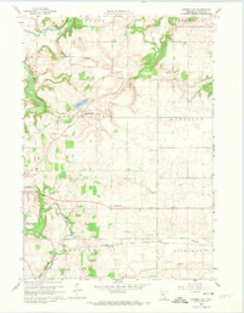
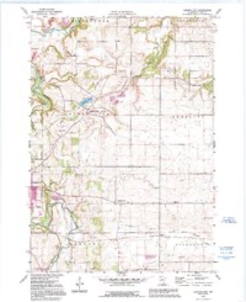
11 topographic sheets cover this place, the earliest surveyed in 1953 and the latest in 1991. It stands in Cannon City Township. It lies in ZIP code area 55021. The Survey maps it on the Cannon City quadrangle.
Topographic sheets covering this place
7 surveys from 11 printed sheetsMatched by testing this settlement's coordinate against the published boundary of every sheet in the United States Geological Survey's historical collection. Each opens the scanned sheet at the Survey.
- 1953 USGS Saint Paul quadrangle1:250000, 3 printings
- 1953 USGS St. Paul quadrangle1:250000
- 1959 USGS Saint Paul quadrangle1:250000
- 1959 USGS St. Paul quadrangle1:250000
- 1960 USGS Cannon City quadrangle1:24000, 2 printings
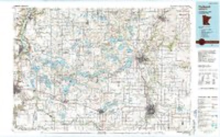
- 1985 USGS Faribault quadrangle1:100000, 2 printings
- 1991 USGS Cannon City quadrangle1:24000




In the county-history sources
6,400 words on this townshipHistory of Rice County, published 1882 names this settlement in its chapter on Cannon City Township. These are the passages that mention it, exactly as the scans read.
The village site is well located for a pleasant village, adjoining the rich farming land of East Prairie f>n the east, and the timber exi.ends up to the bouudary of the village on the west, being about two miles and a half distant from the city limits of Faribault. To show what has been said of the village at various times, we liave clipped fi'om a sketch of the county by 0. Williams, in 1860, the following in regard to East Prairieville; "It is a little village situated upon the edge of what is called East Prairie and the Straight River timber. It has perhaps the best settled prairie country east of it in the county. It contains from fifty to a hundred inhabitants, has a Post-office, a good schoolhouse, a tavern, a store, iind a steam mill."
Passage source: History of Rice County, published 1882.
Ten years later than the above was written, in 1870, F. W. Frink, County Auditor, commented on the village as follows: "East Prairieville is a small town four miles east of Faribault, lying on the edge of the Straight River timber, on what is known as East Prairie, a name which designates a large extent of the best prairie lands in the county. The town has a neat and commodit)Us church belonging to the Congregational society, has a Post-office and a store, and from its situation must always be a pleasant little village and a good point tor trade."
Passage source: History of Rice County, published 1882.
Early Development. - In 1854, Prof. Ide, in company with others who are noted in another place, came to Cannon City township and took as a pre-emption the land in section thirty -five, where the village now stands. He held it and remained until the spring of the following year, when James Anderson, with his father, Alexander Anderson, and their families made their appearance, and the former, in May, 1855, purchased Ide's claim, John Corsett bad also settled in the same section, adjoining the village, and in 1854, sold to W. N. Owena. On this pre-emption the first house erected in the village was put up, in the spring of 1854, by Corsett. In the year 1855, the village was laid out and all made ready for the events which followed. In the meantime, before the platting of the village,or about the same time.W. B. Spencer, a native of Pennsylvania, came and erecting a little board building, placed a stock of goods in it, and commenced keeping store. Alf. Barrick had arrived with his father and their families, and had located in another part of the town, but when he learned of East Prairieville he at once came down determined to start a shop, as he was by trade a blacksmith. As trade was at first slow in coming, he almost starved waiting for it, and had it not been for the generous spirit of Mr. W. N. Owens, who furnished bis family with provisions, they would have suffered from hunger. This was soon bridged over, however, and Mr. Barrick continued until 18G4, when he sold to John Wagner and removed to Crow River. Wagner ccmtinued for a time and finally sold to Charley Edward.s, who in turn, in 1878, sold to the present jnoprietor, Mr. McLean, who is now doing a good l)usiMess, to the entire satisfaction of all who jiatronize his establishment.
Passage source: History of Rice County, published 1882.
Machine-read from a century-old scan, so expect the errors a machine makes: misspelled names, dropped words, stray characters.
Read the whole chapter on Cannon City Township - it names this place 3 more 3 times.
Fires near this place
1 since 2007Regional context, not property-specific evidence. The federal wildfire occurrence database lists 1 fire within 5 miles of Prairieville in 2007, burning about 20 acres in total. None started naturally. 1 was recorded as arson. Distance is straight-line from the map coordinates, so a fire counted here may appear on a neighbouring settlement's page as well.
| Reported cause | Fires |
|---|---|
| Arson/incendiarism | 1 |
The most recent of them, most recent first, with the day each was reported and the service that recorded it.
| Date | Cause | Size | Reported by | Name on the report |
|---|---|---|---|---|
| 28 April 2007 | Arson/incendiarism | 20 acres | Minnesota Department of Natural Resources | not named |
Settlements close enough to share some of these fires:
Mines and quarries near this place
5 within 5 milesRegional context, not property-specific evidence. The federal mineral resources record lists 5 workings within 5 miles of Prairieville: 5 producers. All of them still produce. What was taken out: Sand and Gravel, Construction, Stone, Dimension. Distance is straight-line from the map coordinates, so a quarry counted here may appear on a neighbouring settlement's page as well.
| Where | Site | Commodity | Status | Recorded |
|---|---|---|---|---|
| B H Heselton Ls Quarry | Stone, Dimension | Producer | ||
| Bauer Pit | Sand and Gravel, Construction | Producer | ||
| Donkers Pit | Sand and Gravel, Construction | Producer | ||
| Kielmeyer Pit | Sand and Gravel, Construction | Producer | ||
| Swedberg Quarry | Sand and Gravel, Construction | Producer |
Storms near this place
2 since 2008Regional context, not property-specific evidence. The National Weather Service names Prairieville in 2 storm reports between 2008 and 2011: 1 thunderstorm wind, 1 hail. No death or injury is recorded in these reports. Each account below is quoted exactly as the forecast office filed it, from the NOAA Storm Events Database, and each date opens the federal record of that event.
Nearest settlements
The eight closest, with where each one stands in the county. Distances are straight-line, computed from the Geographic Names Information System coordinates.
Provenance
This settlement is recorded in the Geographic Names Information System as feature 654891. The sheet list is computed by point-in-boundary test against the United States Geological Survey's historical topographic inventory. Both are works of the United States government and carry no copyright under 17 U.S.C. 105.
Wildfire. Short, Karen C. 2022. Spatial wildfire occurrence data for the United States, 1992-2020 [FPA_FOD_20221014]. 6th Edition. Fort Collins, CO: Forest Service Research Data Archive. https://doi.org/10.2737/RDS-2013-0009.6 Collected with United States Government funding and usable without additional permissions or fees.
Mines and quarries. USGS Mineral Resources Data System (MRDS) https://mrdata.usgs.gov/mrds/ A work of the United States government, no copyright under 17 U.S.C. 105.
Storms. NOAA National Centers for Environmental Information, Storm Events Database https://www.ncei.noaa.gov/stormevents/ A work of the United States government, no copyright under 17 U.S.C. 105. Narratives are quoted verbatim from the National Weather Service report and are not edited or summarised.