 Block
Cannon City, Minnesota
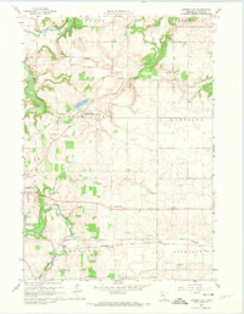
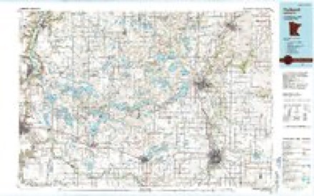
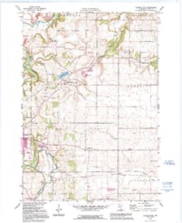
11 topographic sheets cover this place, the earliest surveyed in 1953 and the latest in 1991. It stands in Cannon City Township. It lies in ZIP code area 55021. The Survey maps it on the Cannon City quadrangle.
Topographic sheets covering this place
7 surveys from 11 printed sheetsMatched by testing this settlement's coordinate against the published boundary of every sheet in the United States Geological Survey's historical collection. Each opens the scanned sheet at the Survey.
- 1953 USGS Saint Paul quadrangle1:250000, 3 printings
- 1953 USGS St. Paul quadrangle1:250000
- 1959 USGS Saint Paul quadrangle1:250000
- 1959 USGS St. Paul quadrangle1:250000
- 1960 USGS Cannon City quadrangle1:24000, 2 printings
- 1985 USGS Faribault quadrangle1:100000, 2 printings
- 1991 USGS Cannon City quadrangle1:24000




In the county-history sources
6,400 words on this townshipHistory of Rice County, published 1882 names this settlement in its chapter on Cannon City Township. These are the passages that mention it, exactly as the scans read.
Its Eaiiliek Dats. - The locality in which Cannon City is situated first received a settler in the year 1854, when Eli Oowen and Isaac Amy arrived and secured farms there. Truman Boss had also made his appearance and secured a habitation, when, in the spring of 1855, the Sears Brothers, of Micliigan, arrived and conceived the idea of starting a village. There were three of the brothers, Gregory A., the oldest, who brought lus family with him, Douglass, and William. They succeeded in platting and recording the town in 1855, naming it in honor of the Cannon iliver. The first house had already been erected on the town site by Eli Cowen and Isaac Amy, it being a small and rather cheaj) log structure, and the Sears
Passage source: History of Rice County, published 1882.
W. L. Herriman, who had for a short time been operating a blacksmith shop on his farm a short distance from town, moved into the village and erecting a shop commenced awakening echoes in Gannon City, with the sound of the anvil. He is still in the village. William An Dyke soon joined his "fellow son of the forge,"' and after erecting a building he remained for some time at his trade, finally removing to Foi'est.
Passage source: History of Rice County, published 1882.
Of her schoolhouse. Cannon City may lie proud. It is built and furnished with an eye to beauty and comfort. It cost SI, 400, and was designed to accommodate sixty-four scholars. It mfght contain, however, in the neighborhood of one hundred. We found a school promising in numbers, just organized under the superintendence of I. N. Sater,Esq., of that place.
Passage source: History of Rice County, published 1882.
Machine-read from a century-old scan, so expect the errors a machine makes: misspelled names, dropped words, stray characters.
Read the whole chapter on Cannon City Township - it names this place 16 more 16 times.
Mines and quarries near this place
8 within 5 milesRegional context, not property-specific evidence. The federal mineral resources record lists 8 workings within 5 miles of Cannon City: 8 producers. All of them still produce. What was taken out: Sand and Gravel, Construction, Stone, Dimension. Distance is straight-line from the map coordinates, so a quarry counted here may appear on a neighbouring settlement's page as well.
| Where | Site | Commodity | Status | Recorded |
|---|---|---|---|---|
| B H Heselton Ls Quarry | Stone, Dimension | Producer | ||
| Bauer Pit | Sand and Gravel, Construction | Producer | ||
| De Groat Pit & Mill | Sand and Gravel, Construction | Producer | ||
| Donkers Pit | Sand and Gravel, Construction | Producer | ||
| Kielmeyer Pit | Sand and Gravel, Construction | Producer | ||
| Maas Pit & Mill | Sand and Gravel, Construction | Producer | ||
| Solberg Pit | Sand and Gravel, Construction | Producer | ||
| Swedberg Quarry | Sand and Gravel, Construction | Producer |
Storms near this place
9 since 2012Regional context, not property-specific evidence. The National Weather Service names Cannon City in 9 storm reports between 2012 and 2026: 5 hail, 2 tornado, 1 heavy rain, 1 thunderstorm wind. No death or injury is recorded in these reports. Each account below is quoted exactly as the forecast office filed it, from the NOAA Storm Events Database, and each date opens the federal record of that event.
| When | Event | Place named | Harm | What the report says |
|---|---|---|---|---|
| July 2016 | Tornado (EF1) | Cannon City | $25,000 | A storm survey revealed an EF1 tornado developed just east of Cannon City, and tracked east-southeast for around 3.7 miles. Trees were uprooted and a branch completely impaled an outside wall of a home. Winds were estimated at 90 mph, with a duration of 5 minutes. No injuries were reported. |
| September 2018 | Thunderstorm Wind | Cannon City | - | A NWS storm survey and drone footage concluded that a broad area of downburst and inflow winds occurred south of Northfield, near the intersection of Cannon City Blvd, and 147th Street East, then northeast to the intersection of Hall Ave, and 135th Street East. There was no definite path of damage but more widespread uprooted trees, power lines, and a few outbuildings and silos. |
| September 2018 | Tornado (EF1) | Cannon City | - | A NWS storm survey, plus drone footage, concluded that an EF1 tornado started approximately 2.4 miles north of the city of Faribault, and tracked northeast for 4.6 miles before lifting just east of the Cannon River Wilderness Area. All of the damage was associated with uprooted or blown down large trees along the Cannon River. The maximum wind speeds were 95 mph and a path width of 440 yards. |
| June 2012 | Heavy Rain | Cannon City | - | A measured rainfall report of 4.50 inches occurred in less than 18 hours. |
| April 2026 | Hail | Cannon City | - | no account filed |
| April 2026 | Hail | Cannon City | - | no account filed |
| April 2026 | Hail | Cannon City | - | no account filed |
| June 2016 | Hail | Cannon City | - | no account filed |
| May 2012 | Hail | Cannon City | - | no account filed |
Nearest settlements
The eight closest, with where each one stands in the county. Distances are straight-line, computed from the Geographic Names Information System coordinates.
| Map | Place | Distance | Sheets |
|---|---|---|---|
| Prairieville | 3.3 miles | 11 | |
| Faribault | 3.9 miles | 10 | |
| Comus | 4.6 miles | 10 | |
| Ruskin | 5.0 miles | 11 | |
| Walcott | 6.8 miles | 9 | |
| Dundas | 6.9 miles | 11 | |
| Nerstrand | 7.6 miles | 10 | |
| Northfield | 9.3 miles | 11 |
Provenance
This settlement is recorded in the Geographic Names Information System as feature 640869. The sheet list is computed by point-in-boundary test against the United States Geological Survey's historical topographic inventory. Both are works of the United States government and carry no copyright under 17 U.S.C. 105.
Mines and quarries. USGS Mineral Resources Data System (MRDS) https://mrdata.usgs.gov/mrds/ A work of the United States government, no copyright under 17 U.S.C. 105.
Storms. NOAA National Centers for Environmental Information, Storm Events Database https://www.ncei.noaa.gov/stormevents/ A work of the United States government, no copyright under 17 U.S.C. 105. Narratives are quoted verbatim from the National Weather Service report and are not edited or summarised.