 Block
Stockholm, Minnesota
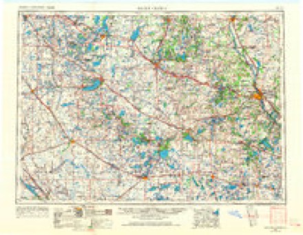
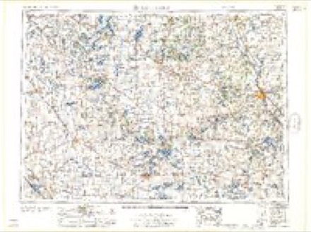
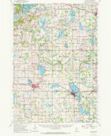
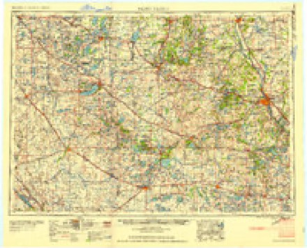
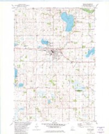
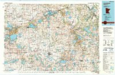
10 topographic sheets cover this place, the earliest surveyed in 1953 and the latest in 1986. It stands in Stockholm Township. It lies in ZIP code area 55321. The Survey maps it on the Cokato quadrangle.
Topographic sheets covering this place
6 surveys from 10 printed sheetsMatched by testing this settlement's coordinate against the published boundary of every sheet in the United States Geological Survey's historical collection. Each opens the scanned sheet at the Survey.
- 1953 USGS Saint Cloud quadrangle1:250000, 3 printings
- 1957 USGS Saint Cloud quadrangle1:250000
- 1958 USGS Cokato quadrangle1:62500, 2 printings
- 1958 USGS Saint Cloud quadrangle1:250000
- 1982 USGS Cokato quadrangle1:24000
- 1986 USGS Litchfield quadrangle1:100000, 2 printings
In the county-history sources
1,965 words on this townshipHistory of Wright County, Minnesota Volume II, published 1915 names this settlement in its chapter on Stockholm Township. These are the passages that mention it, exactly as the scans read.
Stockholm is the extreme southwestern town of Wright county, and contains an area of about 23,000 acres, of which 3,617 are under cultivation. The surface is rolling and in some parts hilly. The soil is mainly a dark loam with clay subsoil, and very fertile, producing excellent crops of the variety common in this latitude.
Passage source: History of Wright County, Minnesota Volume II, published 1915.
The Farmers Club of Stockholm was organized December 19, 1913, and its purpose is to get the farmer and his family together more closely and to get the farmers interested in social life so as not to make farm life dull and monotonous. At the meetings, held about onee a month, a speaker or two from the Agricultural College is present and gives a general discourse on any farm topic suitable for the oceasion. Better markets, good roads and such things as will better conditions in the country are openly diseussed on such occasions when possible. Regular literary meetings are given in ¢onneection and everybody is welcomed at the elub meetings. Anybody interested in bettering the conditions of farm life is welvome to join the club, which is free to anyone. Collection is taken up at each meeting, which helps to defray the club expenses, The meetings are held at the schoolhouse or as designated by the program committee. By Albert O. Terud (president).
Passage source: History of Wright County, Minnesota Volume II, published 1915.
Vietor is in the southwest part of Wright county, aud is bounded on the north by Middleville, on the east by Woodland, on the south by MeLeod county and on the west by Stockholm, It embraces 22,400 acres, The town has a rich dark soil with a clay subsoil, and was originally heavily timbered.
Passage source: History of Wright County, Minnesota Volume II, published 1915.
Machine-read from a century-old scan, so expect the errors a machine makes: misspelled names, dropped words, stray characters.
Read the whole chapter on Stockholm Township - it names this place 1 more 1 time.
Storms near this place
6 since 2005Regional context, not property-specific evidence. The National Weather Service names Stockholm in 6 storm reports between 2005 and 2021: 5 hail, 1 thunderstorm wind. No death or injury is recorded in these reports. Each account below is quoted exactly as the forecast office filed it, from the NOAA Storm Events Database, and each date opens the federal record of that event.
| When | Event | Place named | Harm | What the report says |
|---|---|---|---|---|
| May 2016 | Hail | Stockholm | $5,000 | The resident had damage to their camper, and automobile. |
| May 2018 | Thunderstorm Wind | Stockholm | - | A farmer reported significant damage associated with a downburst southwest of Stockholm, Minnesota. The farm was located near the intersection of County Road 30 SW and County Road 1 SW. The farmer lost approximately 15 trees on his farm. |
| March 2017 | Hail | Stockholm | - | Several reports of large hail, up to golf ball size, fell near the McLeod, and Wright County line, northeast to Cokato and then northeast of Cokato. |
| September 2005 | Hail | Stockholm | - | Quarter sized hail fell in Stockholm Township. |
| April 2021 | Hail | Stockholm | - | no account filed |
| May 2011 | Hail | Stockholm | - | no account filed |
Nearest settlements
The eight closest, with where each one stands in the county. Distances are straight-line, computed from the Geographic Names Information System coordinates.
| Map | Place | Distance | Sheets |
|---|---|---|---|
| Cokato | 3.2 miles | 10 | |
| Rice Lake | 4.3 miles | 10 | |
| Smith Lake | 6.5 miles | 10 | |
| Knapp | 8.0 miles | 10 | |
| Howard Lake | 8.0 miles | 10 | |
| Albright | 8.6 miles | 10 | |
| French Lake | 11.4 miles | 10 | |
| Highland | 11.6 miles | 10 |
Provenance
This settlement is recorded in the Geographic Names Information System as feature 652647. The sheet list is computed by point-in-boundary test against the United States Geological Survey's historical topographic inventory. Both are works of the United States government and carry no copyright under 17 U.S.C. 105.
Storms. NOAA National Centers for Environmental Information, Storm Events Database https://www.ncei.noaa.gov/stormevents/ A work of the United States government, no copyright under 17 U.S.C. 105. Narratives are quoted verbatim from the National Weather Service report and are not edited or summarised.