 Block
Swift Falls, Minnesota
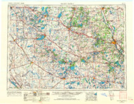
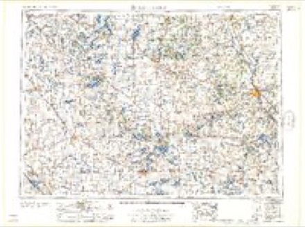
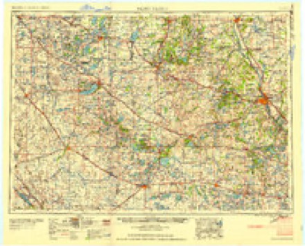
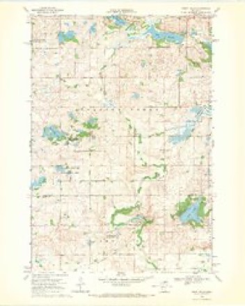
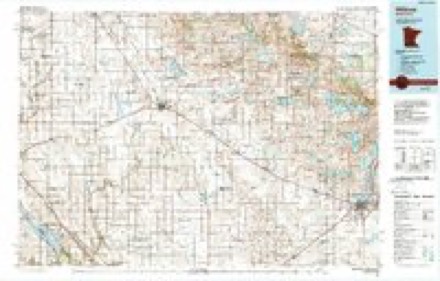
8 topographic sheets cover this place, the earliest surveyed in 1953 and the latest in 1986. It stands in Camp Lake Township. It lies in ZIP code area 56215. The Survey maps it on the Swift Falls quadrangle.
Topographic sheets covering this place
5 surveys from 8 printed sheetsMatched by testing this settlement's coordinate against the published boundary of every sheet in the United States Geological Survey's historical collection. Each opens the scanned sheet at the Survey.
- 1953 USGS Saint Cloud quadrangle1:250000, 3 printings
- 1957 USGS Saint Cloud quadrangle1:250000
- 1958 USGS Saint Cloud quadrangle1:250000
- 1968 USGS Swift Falls quadrangle1:24000
- 1986 USGS Willmar quadrangle1:100000, 2 printings
Fires near this place
4 since 2000Regional context, not property-specific evidence. The federal wildfire occurrence database lists 4 fires within 5 miles of Swift Falls between 2000 and 2015, burning about 1,171 acres in total. None started naturally. None was recorded as arson. Distance is straight-line from the map coordinates, so a fire counted here may appear on a neighbouring settlement's page as well.
| Reported cause | Fires |
|---|---|
| Debris and open burning | 3 |
| Missing data/not specified/undetermined | 1 |
The most recent of them, most recent first, with the day each was reported and the service that recorded it.
| Date | Cause | Size | Reported by | Name on the report |
|---|---|---|---|---|
| 4 May 2015 | Debris and open burning | 36 acres | Minnesota Department of Natural Resources | not named |
| 19 December 2011 | Missing data/not specified/undetermined | 36 acres | Morris National Wildlife Refuge | WELSH |
| 20 October 2003 | Debris and open burning | 252 acres | Morris National Wildlife Refuge | ROLLING FORKS WPA |
| 11 October 2000 | Debris and open burning | 847 acres | Morris National Wildlife Refuge | SVOR |
Storms near this place
21 since 2002Regional context, not property-specific evidence. The National Weather Service names Swift Falls in 21 storm reports between 2002 and 2025: 9 thunderstorm wind, 6 hail, 6 tornado. The reports record 1 injury. Each account below is quoted exactly as the forecast office filed it, from the NOAA Storm Events Database, and each date opens the federal record of that event.
| When | Event | Place named | Harm | What the report says |
|---|---|---|---|---|
| July 2015 | Thunderstorm Wind | Swift Falls | 1 hurt | A large tree limb was blown off and landed on a tent in the Swift Falls Campground. One individual was injured in the tent. |
| September 2017 | Tornado (EF1) | Swift Falls | $800,000 | A tornado touched down southwest of Camp Lake, where it hit some trees at a farmstead. It then moved across fields, damaging or destroying corn fields. It partially tore the roof off a turkey barn before hitting homes along the east side of Camp Lake. It was here that an observer reported his flag was blowing hard from the northwest as tennis ball size hail hit, then the flag suddenly switched and was blowing from the southeast while the hail continued, then from the southwest when the tornado moved in. One modular home had windows blown in, a porch blown away, and its roof was uplifted to the point where driving rain got into much of the house. The tornado then hit an abandoned farm, rolling a mobile home and destroying several outbuildings before moving into Pope County (see separate entry). |
| July 2009 | Tornado (EF2) | Swift Falls | $250,000 | A National Weather Service storm survey and visual reports confirmed that a tornado moved through portions of Swift and Pope Counties in west central Minnesota where two turkey barns and several outbuildings were destroyed, with extensive tree damage throughout the entire path. Maximum damage was EF-2 with estimated winds of 111-119 mph. In the town of Swift Falls, two residences were damaged along with two garages that were destroyed. The tornado was produced minor crop damage northeast of Swift Falls. |
| June 2013 | Thunderstorm Wind | Swift Falls | $100,000 | Numerous trees were blown down in Swift Falls, including damage to turkey barns around Swift Falls. |
| June 2025 | Thunderstorm Wind | Swift Falls | - | Thunderstorm wind gust of 78 mph measured by MNDOT RWIS along Hwy 9. |
| July 2025 | Thunderstorm Wind | Swift Falls | - | Measured by a MNDOT road weather station. It mainly recorded gusts near 59 mph between 15:25 and 15:55, but measured a 71 mph gust between 15:30 and 15:35. |
| May 2022 | Tornado (EF0) | Swift Falls | - | The tornado broke or uprooted dozens of trees. Tin was peeled off roofs and the sides of outbuildings. Trailers were tipped and various farm equipment heavily damaged. Some large tree branches were blown away rather than being downed next to the trees. Maximum winds were estimated at 75 mph. |
| July 2019 | Hail | Swift Falls | - | A swath of large hail fell along the the Pope, Swift County line. The largest hail stone reported was golf ball size. Damage occurred to corn fields along the path. |
| August 2018 | Thunderstorm Wind | Swift Falls | - | Several trees were blown down west of Sunburg. |
| September 2017 | Thunderstorm Wind | Swift Falls | - | About six evergreen trees were tipped over. Based on a storm survey, it was determined that this was due to rear flank downdraft winds, with the Camp Lake tornado about two-thirds mile to the north. |
| September 2017 | Thunderstorm Wind | Swift Falls | - | A few trees were damaged, a weak 4-legged metal tower was tipped over, and a shed was blown over. This area may have been an earlier beginning point of the Camp Lake tornado, but damage was too scant to be certain, and therefore this damage has been listed as thunderstorm wind damage. |
| September 2017 | Hail | Swift Falls | - | Hail fell on the northeast side of Camp Lake, just before the tornado hit. |
| May 2015 | Tornado (EF0) | Swift Falls | - | A tornado moved across open fields. It was recorded on video by numerous storm chasers. |
| August 2015 | Tornado (EF0) | Swift Falls | - | The tornado briefly touched down in a corn field and was caught on video by multiple storm chasers. It was also witnessed by fire department personnel. |
| August 2015 | Tornado (EF0) | Swift Falls | - | The tornado briefly touched down in a corn field and was caught on video by multiple storm chasers. |
| May 2005 | Thunderstorm Wind | Swift Falls | - | Several trees were downed. |
| April 2002 | Thunderstorm Wind | Swift Falls | - | Roof off barn. |
| September 2017 | Hail | Swift Falls | - | no account filed |
| August 2015 | Hail | Swift Falls | - | no account filed |
| July 2008 | Hail | Swift Falls | - | no account filed |
| June 2002 | Hail | Swift Falls | - | no account filed |
Nearest settlements
The eight closest, with where each one stands in the county. Distances are straight-line, computed from the Geographic Names Information System coordinates.
Provenance
This settlement is recorded in the Geographic Names Information System as feature 652954. The sheet list is computed by point-in-boundary test against the United States Geological Survey's historical topographic inventory. Both are works of the United States government and carry no copyright under 17 U.S.C. 105.
Wildfire. Short, Karen C. 2022. Spatial wildfire occurrence data for the United States, 1992-2020 [FPA_FOD_20221014]. 6th Edition. Fort Collins, CO: Forest Service Research Data Archive. https://doi.org/10.2737/RDS-2013-0009.6 Collected with United States Government funding and usable without additional permissions or fees.
Storms. NOAA National Centers for Environmental Information, Storm Events Database https://www.ncei.noaa.gov/stormevents/ A work of the United States government, no copyright under 17 U.S.C. 105. Narratives are quoted verbatim from the National Weather Service report and are not edited or summarised.