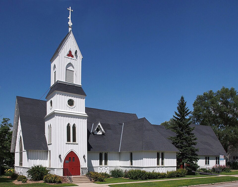
National Register reference number.75000996- the number the National Park Service assigned this property when it was listed, and the key its nomination file is catalogued under at the National Archives.
At the regular election held November 2, 1869, tlie question ot the removal of the county seat from Forest City to Litchfield was submitted to the qualified electors of the county, and by a majority of 89, in a total vote of 927, it was decided in tlie affirmative, and the latter city became the seat of justice of Meeker county. The court-house, of whicli a descrijJtion is given in another place, adorns the north part of the town, and is really a very handsome and complete edifice. The location of the seat of justice at Litchfield and the presence of the railroad have both been important factors in the I'apid growth of the place, and have established it upon a firm basis.
The pioneer physician of Litchfield was Dr. George W. "Weisel, who came to this place from Forest City in the fall of 1869. He remained here in practice, according to the regular or alloi)athic school, for some years, but is now living in Williamsport, Lycoming coimtv. Pa. The second was Dr. F. E. Bissell, still a resident of the village. The third physician was a Dr. Bell, a follower of the homeopathic school, but who ditl not long remain in the place.
Regional context, not property-specific
evidence. The
federal wildfire occurrence database
lists 3 fires within 5 miles of Trinity Episcopal Church
between 2012 and 2015, burning about 244 acres in total. None started naturally. None was recorded as arson.
Distance is straight-line from the map coordinates, so a fire counted
here may appear on a neighbouring settlement's page as well.
Reported cause
Fires
Debris and open burning
2
Missing data/not specified/undetermined
1
The most recent of
them, most recent first, with the day each was reported and the service
that recorded it.
Regional context, not property-specific
evidence. The National Weather Service names
Litchfield, the town this property stands in, in 51 storm reports between 1993 and 2025: 27 hail, 19 thunderstorm wind, 2 tornado, 2 funnel cloud.
The reports record 3 injuries. Each account below is quoted exactly as the forecast office
filed it, from the NOAA Storm Events Database, and each date
opens the federal record of that event.
Fire and rescue officials reported that high winds overturned a trailer camper at Lake Ripley Campground. Three people were pined inside and were transported to the hospital after rescue. A woman and a man in the trailer suffered minor injuries and the third victim, a retired police officer, suffered cracked ribs and numbness in his legs. Two other unoccupied campers were overturned nearby and others were damaged. Trees were also downed around town. A wind gust of 55 MPH was recorded at the Litchfield airport at 3:55 PM CDT.
The tornado near Litchfield was rated an EF-2 with peak winds of 115 mph. It had a maximum width of 100 yards and traveled approximately 3.2 miles. The tornado caused a lot of tree damage, though three single family homes received significant roof damage, and a double wide manufactured home, and garage were flipped and rolled. Another garage and shed were destroyed near Highway 12 on the north side of town.
Quarter to golf ball sized hail was reported by a trained spotter. The county sheriff's office reported that several squad cars sustained hail damage. The windshield on one patrol car was broken by the hail.
Damage survey indicated brief tornado on the west side of Lake Ripley, downing trees and ripping apart sheds and outbuildings. Tornado was accompanied by a large swath of damaging wind.
No historic map-sheet match is published
for this property yet. That does not mean no map exists. This record needs
a coordinate-quality review before it can be joined to a sheet boundary.
Browse the county's mapped places while that work is
pending.
Listed places nearby
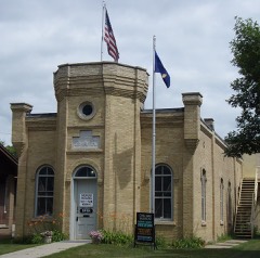
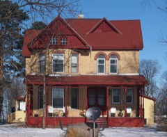
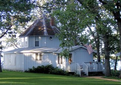
6 within 8 miles
Other National Register properties close
enough to walk or drive between, ordered by distance from this one. Both
positions come from the same geocoding pass that matched these properties
to their map sheets.
Listing record. National Park Service National Register of Historic Places, listed-properties dataset, current to 2026-05-22.
Map join. Address geocoded through the United States Census geocoder, then tested against the published boundary of every sheet in the USGS Historical Topographic Map Collection.
How this page is made. Listing fields come from federal records; map-sheet coverage is a labelled coordinate-to-boundary calculation, not a source-field claim.
Wildfire. Short, Karen C. 2022. Spatial wildfire occurrence data for the United States, 1992-2020 [FPA_FOD_20221014]. 6th Edition. Fort Collins, CO: Forest Service Research Data Archive. https://doi.org/10.2737/RDS-2013-0009.6 Collected with United States Government funding and usable without additional permissions or fees.
Storms. NOAA National Centers for Environmental Information, Storm Events Database https://www.ncei.noaa.gov/stormevents/ A work of the United States government, no copyright under 17 U.S.C. 105. Narratives are quoted verbatim from the National Weather Service report and are not edited or summarised.
 Block