 Block
Adams, Missouri
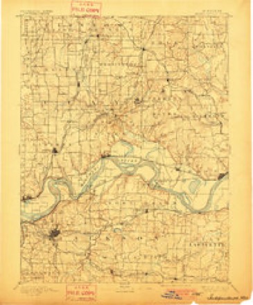
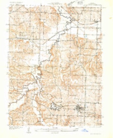
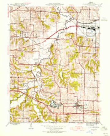
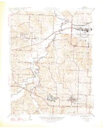
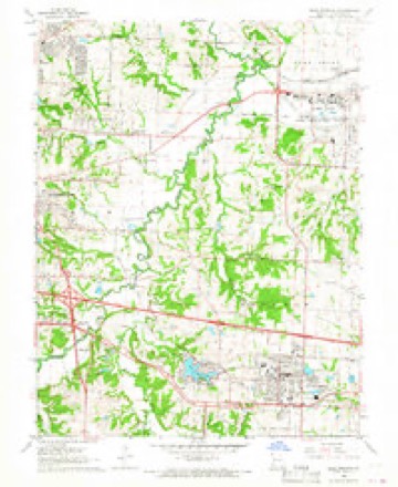
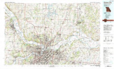
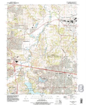
23 topographic sheets cover this place, the earliest surveyed in 1894 and the latest in 1990. It stands in Blue Township. It lies in ZIP code area 64056. It stands on Spring Branch. The Survey maps it on the Blue Springs quadrangle.
Topographic sheets covering this place
11 surveys from 23 printed sheetsMatched by testing this settlement's coordinate against the published boundary of every sheet in the United States Geological Survey's historical collection. Each opens the scanned sheet at the Survey.
- 1894 USGS Independence quadrangle1:125000, 5 printings
- 1933 USGS Blue Springs quadrangle1:24000
- 1945 USGS Blue Springs quadrangle1:24000
- 1947 USGS Blue Springs quadrangle1:31680, 2 printings
- 1950 USGS Kansas City quadrangle1:250000
- 1954 USGS Kansas City quadrangle1:250000
- 1956 USGS Kansas City quadrangle1:250000, 4 printings
- 1960 USGS Kansas City quadrangle1:250000, 3 printings
- 1965 USGS Blue Springs quadrangle1:24000, 3 printings
- 1983 USGS Kansas City quadrangle1:100000
- 1990 USGS Blue Springs quadrangle1:24000




In the county-history sources
6,365 words on this townshipThe History of Jackson County, Missouri, Containing a History of the County, Its Cities, Towns, Etc., Biographical Sketches of Its Citizens, Jackson County in the Late War... History of Missouri, Map of Jackson County .., published 1881 names this settlement in its chapter on Blue Township. These are the passages that mention it, exactly as the scans read.
James Lewis came in an early day and at present lives about six miles northeast of Independence; Harmon Gregg lived about four miles northeast of Independence; Daniel P. Lewis removed to the Piatt Purchase and was judge of the County Court there ; John Betcher lived four miles northeast of Independence ; William Baxter and Thomas Staylon with their families live northest of Independence; Aaron Overton died in Texas several years ago; Daniel Monroe lived on the bluff overlooking the river three miles north of Independence ; Gan Johnson lived on a farm three miles south of Independence, he died many years ago; Williamson Hawkins lived six miles south of Independence, he was murdered about the year 1838, and the murderer was hanged at the county seat; John Davis lived southeast of Independence, he was once County Judge in an early day ; Gabriel Fitzhugh was a Baptist preacher and lived two miles west of Independence ; Col. Thomas Pitcher was prominent in the Mormon trouble ; the Nolans and Pitchers were Kentuckians; Samuel C. Owens was a prominent merchant in Independence ; John O. Agnew was of Irish descent and a prominent merchant in Independence; the Flournoy's were prominent men in the town and county ; Robert Rickman came from Tennessee and lived a highly respected citizen, he died at Independence in 1880; John Smith was a justice of the peace ; Adam Hill settled two miles west of Independence where he still resides ; Joseph H. Reynolds was from Lincoln county, Kentucky, and came to Independence in 1834, where he still resides; Maj. E. A. Hickman was from Kentucky, and has for many years been one of the prominent citizens of Jackson county ; George Dickerson, Stephen Adams, and Jabez Smith came from Virginia and brought with him about 450 slaves ; Thomas H. Wilson, Moses G. Wilson, John F. McCauley is now living in San Francisco, Robert Gwin came from Tennessee, as did William McCormick and Dr. Armstrong.
Passage source: The History of Jackson County, Missouri, Containing a History of the County, Its Cities, Towns, Etc., Biographical Sketches of Its Citizens, Jackson County in the Late War... History of Missouri, Map of Jackson County .., published 1881.
This church was organized either in 1826 or 1827, the records of the church up to 1843 have been lost. The following facts were given by Bro. Stephen Adams, who united with the church in the year 1828, and is now the only living member who belonged to the organization at that time. Pastors having served the church since the organization : Thomas Stayton, John Jackson, James Savage and William Ously. In 1843 the church record gives the names of pastors in the following order : Joab Powell, Lewis Franklin, Rev. Saunders, William White, Henry Farmer, Edward Wood, T. N. O'Brien, G. L. Black, Thomas Montgomery, J. L. Hampton, J. J. Robinson, E. H. Foster and H. B. Turner. The present pastor is John W. Sage. Book A of the church records commences with the organization in 1826-7, and continues to August, 1843, under the name of the "Salem Church." Book B commences with August, 1843, and ends with May, 1868. The names of the members of the church in 1845 were as follows: Absalom Powell, Elizabeth Powell, Rebecca Powell, Stephen Adams, Mary Adams, Nelson Adams, Anna Adams, William Rice, Sarah Belcher, Thos. J. Belcher, Martha Powell, Elizabeth Williamson, C. C. Rice, Jane Rice, Johnson Lacy and Sarah Lacy.
Passage source: The History of Jackson County, Missouri, Containing a History of the County, Its Cities, Towns, Etc., Biographical Sketches of Its Citizens, Jackson County in the Late War... History of Missouri, Map of Jackson County .., published 1881.
" The first houses built west of the Little Blue were on a farm now owned by Messrs. Pugsley and Staples, three miles east of Independence. These two cabins were built by Andrew Wilson and Henry Burris. Wilson also built the first mill in the county. The earliest settlers were Andrew Wilson, Henry Burris, Jacob Gregg, Osborn, Stayton, Swearingen, Adams, Jeffreys, Chiles and others. As the city of Independence began to build up, there were many others, and I give some of their names : S. D. Lucas, S. C. Owens, the Westons, the Nolands and the Flournoys.
Passage source: The History of Jackson County, Missouri, Containing a History of the County, Its Cities, Towns, Etc., Biographical Sketches of Its Citizens, Jackson County in the Late War... History of Missouri, Map of Jackson County .., published 1881.
Machine-read from a century-old scan, so expect the errors a machine makes: misspelled names, dropped words, stray characters.
Fires near this place
8 since 1992Regional context, not property-specific evidence. The federal wildfire occurrence database lists 8 fires within 5 miles of Adams between 1992 and 2020, burning about 18 acres in total. None started naturally. 1 was recorded as arson. Distance is straight-line from the map coordinates, so a fire counted here may appear on a neighbouring settlement's page as well.
| Reported cause | Fires |
|---|---|
| Debris and open burning | 3 |
| Missing data/not specified/undetermined | 2 |
| Recreation and ceremony | 1 |
| Arson/incendiarism | 1 |
| Equipment and vehicle use | 1 |
The most recent of them, most recent first, with the day each was reported and the service that recorded it.
| Date | Cause | Size | Reported by | Name on the report |
|---|---|---|---|---|
| 8 April 2020 | Debris and open burning | 4.6 acres | Missouri Department of Conservation | 190395-04828-04082020-1735 |
| 30 April 1992 | Debris and open burning | 1.0 acres | Missouri Department of Conservation | not named |
| 12 March 2018 | Debris and open burning | 9.4 acres | Missouri Department of Conservation | 166065-04828-03122018-1717 |
| 28 February 2020 | Equipment and vehicle use | under an acre | Missouri Department of Conservation | 190148-04828-02282020-1355 |
| 2 December 1997 | Arson/incendiarism | 1.0 acres | Missouri Department of Conservation | not named |
| 9 November 2020 | Recreation and ceremony | under an acre | Missouri Department of Conservation | 241008-04828-11092020-1420 |
| 15 November 2011 | Missing data/not specified/undetermined | 1.2 acres | Missouri Department of Conservation | not named |
| 2 October 2018 | Missing data/not specified/undetermined | under an acre | Missouri Department of Conservation | 177795-04828-10022018-2317 |
Settlements close enough to share some of these fires:
Mines and quarries near this place
10 of 30 shownRegional context, not property-specific evidence. The federal mineral resources record lists 30 workings within 5 miles of Adams: 28 past producers, 2 producers. 2 still produce. What was taken out: Stone, Crushed/Broken, Sand and Gravel, Construction. Distance is straight-line from the map coordinates, so a quarry counted here may appear on a neighbouring settlement's page as well.
| Where | Site | Commodity | Status | Recorded |
|---|---|---|---|---|
| Unknown-S&G | Sand and Gravel, Construction | Past Producer | ||
| Unknown-Sand and Gravel | Sand and Gravel, Construction | Past Producer | ||
| Bixley Mine | Stone, Crushed/Broken | Past Producer | ||
| Iowa Point Quarry | Stone, Crushed/Broken | Past Producer | ||
| Parkville Quarry | Stone, Crushed/Broken | Past Producer | ||
| Pink Hill Mine & Mill | Stone, Crushed/Broken | Producer | ||
| Unknown-Ls | Stone, Crushed/Broken | Past Producer | ||
| Unknown-Ls | Stone, Crushed/Broken | Past Producer | ||
| Unknown-Ls | Stone, Crushed/Broken | Past Producer | ||
| Unknown-Ls | Stone, Crushed/Broken | Past Producer |
Nearest settlements
The eight closest, with where each one stands in the county. Distances are straight-line, computed from the Geographic Names Information System coordinates.
| Map | Place | Distance | Sheets |
|---|---|---|---|
| East Independence | 1.0 miles | 23 | |
| Selsa | 2.8 miles | 23 | |
| Ripley | 3.2 miles | 24 | |
| Independence | 4.1 miles | 26 | |
| Blue Mills | 4.4 miles | 24 | |
| Lake City | 4.6 miles | 23 | |
| Cobbler | 5.0 miles | 24 | |
| Lake Tapawingo | 5.0 miles | 23 |
Provenance
This settlement is recorded in the Geographic Names Information System as feature 755662. The sheet list is computed by point-in-boundary test against the United States Geological Survey's historical topographic inventory. Both are works of the United States government and carry no copyright under 17 U.S.C. 105.
Wildfire. Short, Karen C. 2022. Spatial wildfire occurrence data for the United States, 1992-2020 [FPA_FOD_20221014]. 6th Edition. Fort Collins, CO: Forest Service Research Data Archive. https://doi.org/10.2737/RDS-2013-0009.6 Collected with United States Government funding and usable without additional permissions or fees.
Mines and quarries. USGS Mineral Resources Data System (MRDS) https://mrdata.usgs.gov/mrds/ A work of the United States government, no copyright under 17 U.S.C. 105.